The best road cycling routes around Ternitz
4.8
(84)
1,095
riders
49
rides
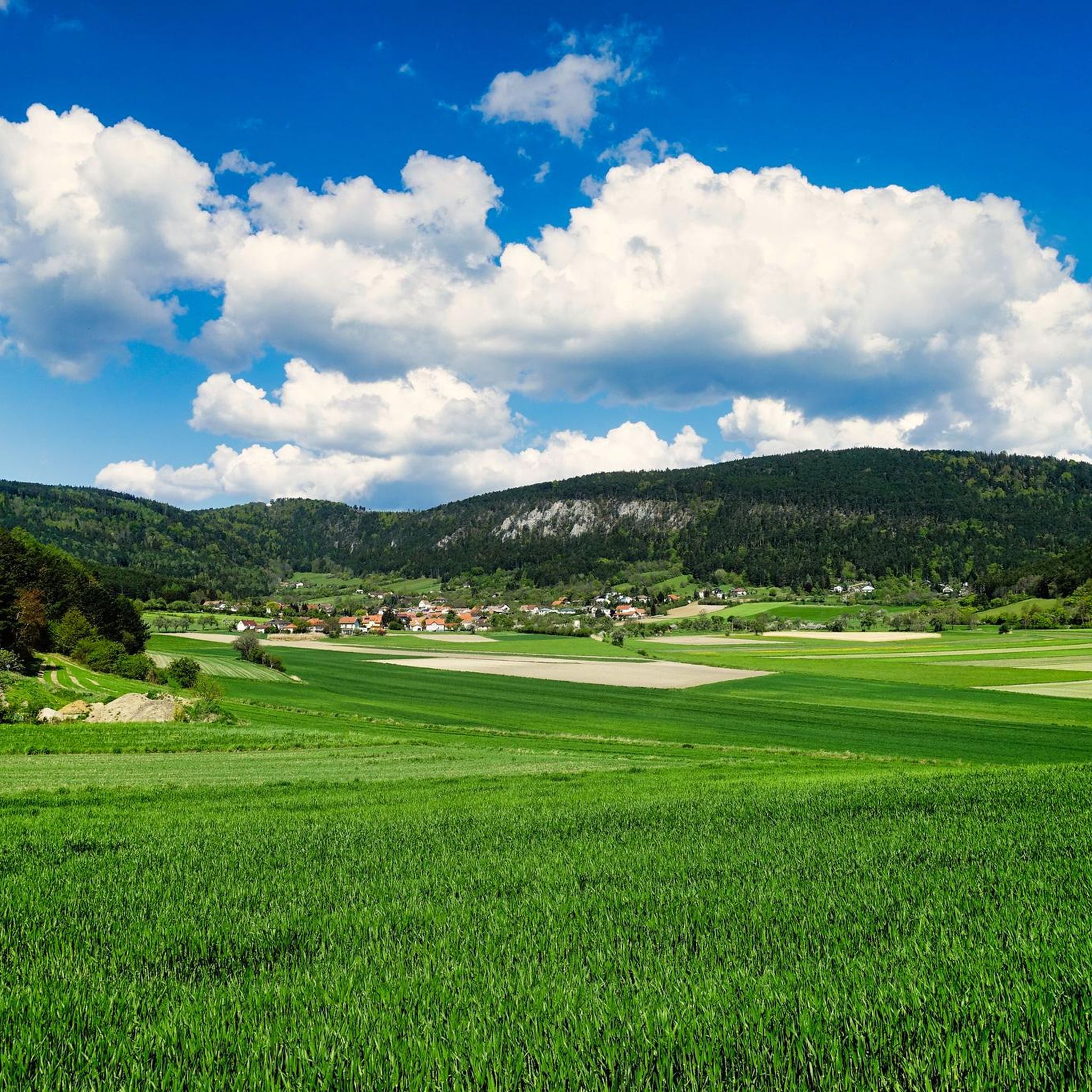
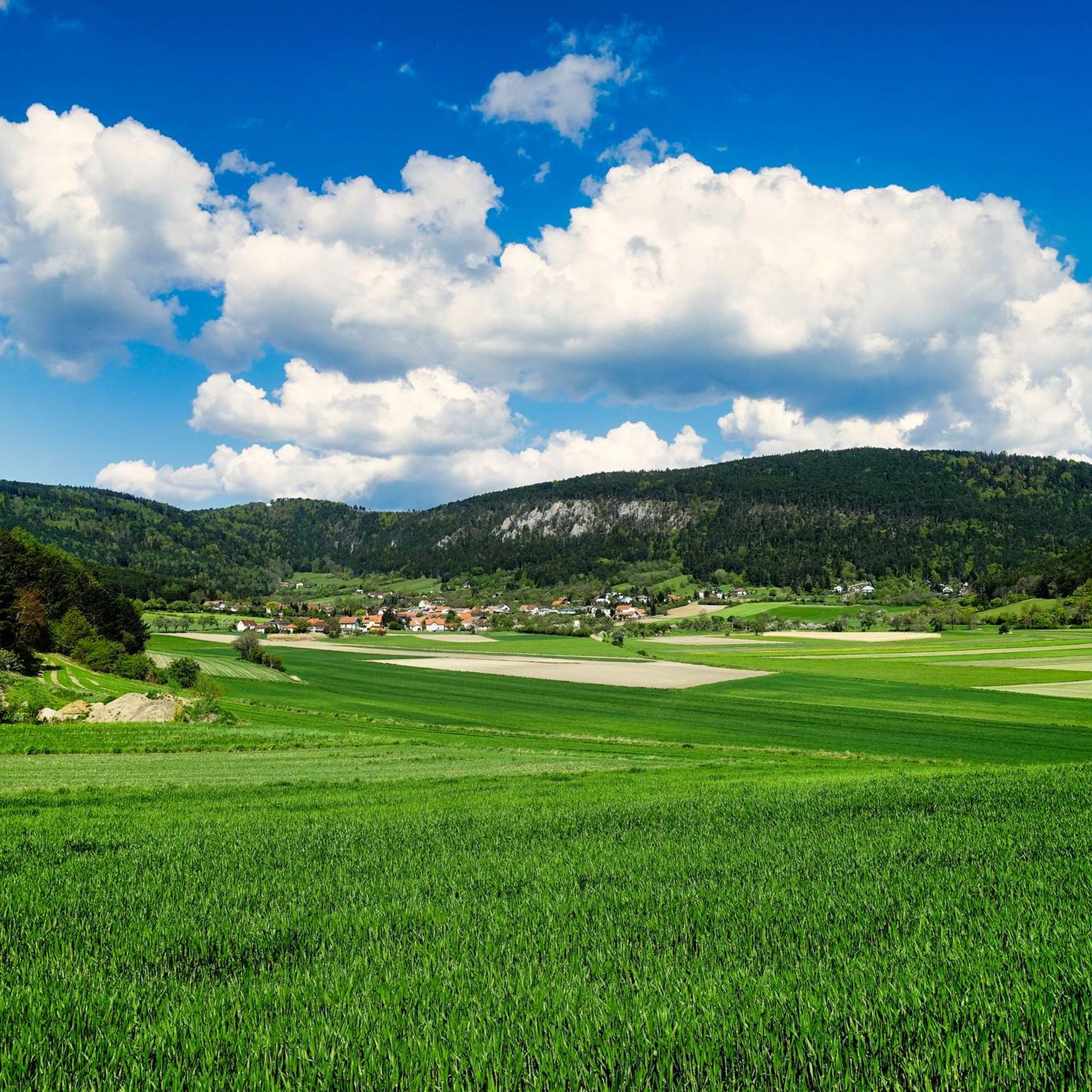
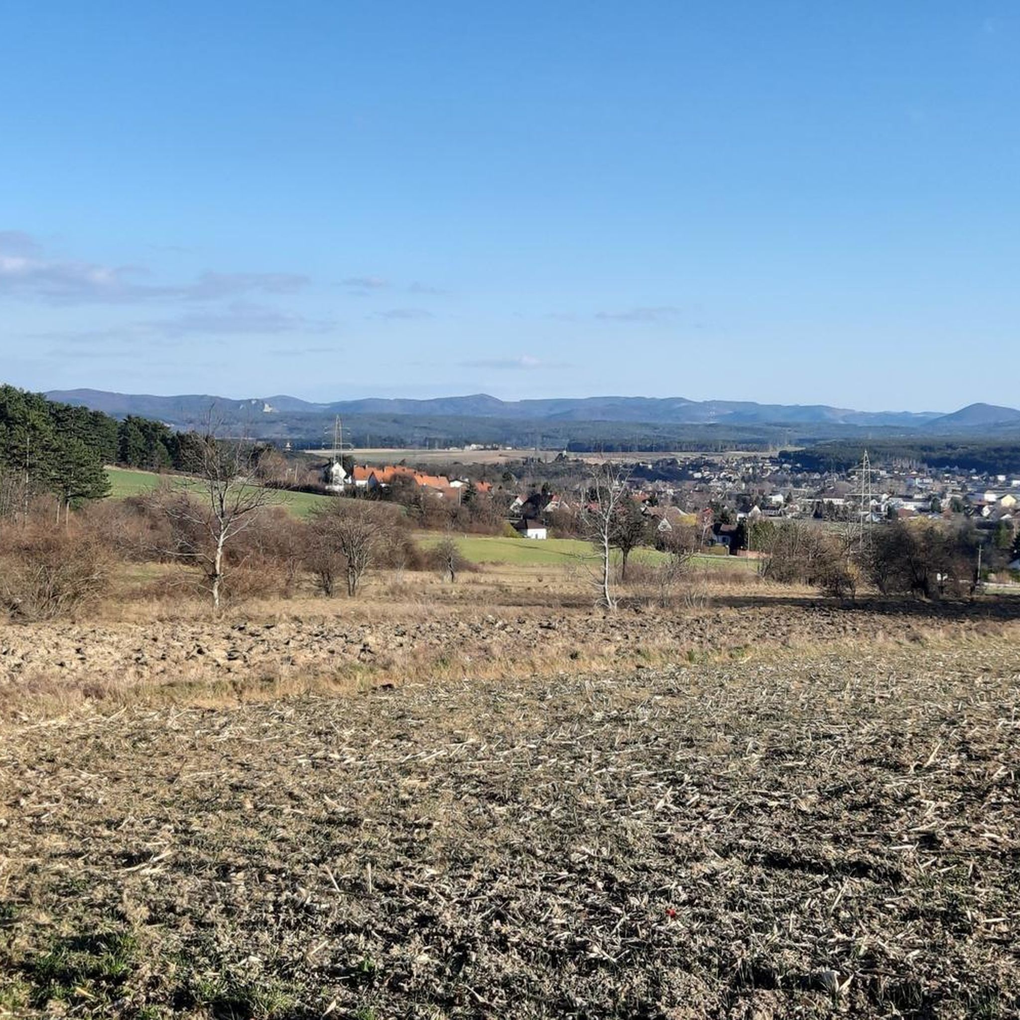
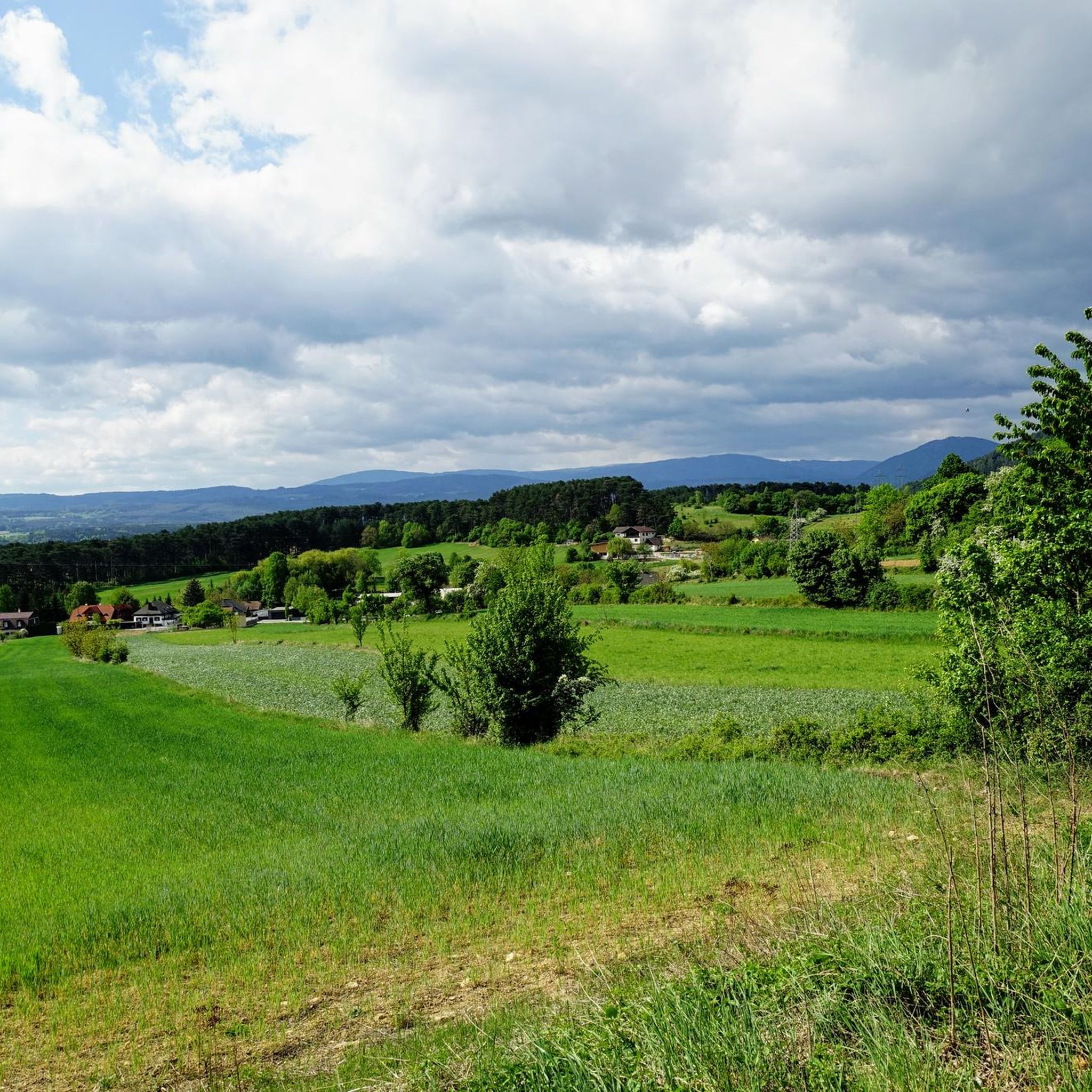
Road cycling around Ternitz is characterized by its location in the lower Schwarzatal valley within the Vienna Alps, offering diverse terrain for cyclists. The region features rolling hills, verdant meadows, and dense forests, providing varied landscapes for rides. Notable natural features include the Sierningtal-Flatzer Wand Nature Park and the Gösing-Hochberg group, which reaches 898 meters. From the Gfieder, a local mountain at 609 meters, panoramic views extend to the Schneeberg and Rax mountains, creating a mountainous backdrop for road cycling…
Last updated: July 2, 2026
4.6
(10)
160
riders
54.5km
02:48
880m
880m
Moderate road ride. Good fitness required. Mostly well-paved surfaces and easy to ride.
3.8
(6)
179
riders
43.8km
02:05
470m
470m
Moderate road ride. Good fitness required. Some segments of this route may be unpaved and difficult to ride.

Sign up for free
5.0
(1)
60
riders
83.0km
03:51
900m
900m
Moderate road ride. Good fitness required. Mostly well-paved surfaces and easy to ride.
4.6
(5)
54
riders
49.5km
02:50
1,020m
1,020m
Hard road ride. Very good fitness required. Some segments of this route may be unpaved and difficult to ride.
5.0
(11)
40
riders
61.3km
02:59
700m
700m
Moderate road ride. Good fitness required. Mostly well-paved surfaces and easy to ride.
Get access to more routes and recommendations from other explorers.
Sign up for free
Already have an account?
Our route recommendations are based on thousands of hikes, rides, and runs completed by other people on komoot.
Start today with a free account
Your next adventure awaits.
Login or Signup


Tips from the Community

My homeland, definitely take the easy mountain classification towards Hinternaßwald, 7.5 km from B27
0
0

The Höllentalschlucht is a particularly impressive section of the Höllental valley, characterized by steep limestone walls and the deeply incised course of the Schwarza river. A wild, primeval atmosphere is created between narrow rock formations and wooded slopes. A striking landscape area that impressively reflects the alpine drama of the Vienna Alps.
4
0
The Höllentalklamm is an impressive gorge section in the Großer Höllental with steep rock faces and wild streams. The trail leads variedly over footbridges, steps, and narrow paths through the narrow gorge and requires surefootedness. A natural section that makes the powerful side of the Rax landscape particularly intensely experienceable.
4
0

During a walk through the Rosengarten Pitten, you stroll past 2,600 rose bushes of 100 different species. Rose arches with stone benches envelop visitors in unmistakable fragrances.
0
0
Wartenstein Castle sits majestically overlooking the Schwarza Valley. This historic complex has shaped the landscape on the edge of the Rax region for centuries. From here, breathtaking views of the surrounding mountains and valleys unfold.
6
0
The view of Schottwien and the impressive Semmering Railway with its viaducts vividly illustrates the interplay of nature and technology. This historic railway line is a UNESCO World Heritage Site and shapes the landscape of the Semmering region. It's a panorama that harmoniously unites the valley, the village, and the railway.
6
0


Well-preserved, privately owned castle, not open to the public. More details: https://de.wikipedia.org/wiki/Burg_Wartenstein
1
0
Frequently Asked Questions
How many road cycling routes are available around Ternitz?
Ternitz offers a wide selection of road cycling routes, with over 50 different tours available. These routes cater to various skill levels, from moderate rides to challenging climbs.
What kind of terrain can I expect on road cycling routes in Ternitz?
Road cycling in Ternitz is characterized by its diverse terrain within the lower Schwarzatal valley and the Vienna Alps. You'll encounter rolling hills, verdant meadows, and dense forests. Routes often feature significant elevation gains, with some reaching over 1,000 meters, providing a mountainous backdrop for your rides.
Are there challenging road cycling routes in Ternitz for experienced riders?
Yes, Ternitz has several challenging routes for experienced road cyclists. For instance, the Kranichberg Castle – Ramssattel loop from Pottschach is a hard 49.5 km route with a substantial 1,020-meter elevation gain. Another demanding option is the Forchtenstein Serpentines – View of Burg Sebenstein loop from Ternitz, covering 83.5 km with over 900 meters of elevation.
What scenic viewpoints or natural features can I see while road cycling in Ternitz?
Many routes offer stunning views. From the Gfieder, Ternitz's local mountain, you can enjoy panoramic vistas stretching to the prominent Schneeberg and Rax mountains. The region also includes the picturesque Sierningtal-Flatzer Wand Nature Park, with its romantic valleys and wooded areas. The Höllental Gorge – Höllental Gorge loop from Ternitz also offers beautiful natural scenery.
Are there any historical sites or castles along the road cycling routes?
Yes, Ternitz's road cycling routes often pass by historical landmarks. For example, the Stixenstein Castle – Puchberg am Schneeberg loop from Pottschach takes you past Stixenstein Castle. Other notable historical sites in the wider area include the Türkensturz Ruins and Seebenstein Castle.
When is the best time of year for road cycling in Ternitz?
The best time for road cycling in Ternitz is generally from spring through autumn. During these seasons, the weather is most favorable, offering pleasant temperatures and less chance of snow or ice, especially in the higher elevations. Summer provides longer daylight hours, while spring and autumn showcase beautiful natural colors.
Is there convenient parking available for road cyclists in Ternitz?
While specific parking areas for cyclists are not detailed for every route, Ternitz, as a municipality well-equipped for outdoor activities, typically offers parking options in and around the town center or at common starting points for trails. It's advisable to check local parking regulations upon arrival.
Can I access road cycling routes in Ternitz using public transport?
Ternitz is connected to broader cycling networks via routes like the Zöbernbach, EuroVelo9, and Schwarzatal cycle paths, which can often be accessed from public transport hubs. For specific route access, it's recommended to check local public transport schedules and bicycle carriage policies for trains or buses serving the Ternitz area.
What do other road cyclists enjoy most about road cycling in Ternitz?
The road cycling routes in Ternitz are highly rated by the komoot community, with an average score of 4.8 stars from over 80 reviews. Cyclists frequently praise the varied terrain, from rolling hills to challenging climbs, and the stunning panoramic views of the Vienna Alps, including Schneeberg and Rax.
Are there family-friendly road cycling routes in Ternitz?
While many road cycling routes in Ternitz involve significant elevation and are geared towards moderate to experienced riders, the region also connects to flatter, broader cycling networks like the Zöbernbach and EuroVelo9 paths. These networks may offer more gentle sections suitable for families, though specific dedicated family-friendly road cycling routes within Ternitz itself are less common due to the mountainous terrain.
Are there mountain huts or places to rest along the road cycling routes?
Yes, the region around Ternitz features mountain huts that serve as welcoming resting spots. The Öhler Hut, at 1,027 meters, offers great views and refreshments, and the Pottschacher Hut is another option for a break. These huts are popular with both hikers and bikers.
Are there any circular road cycling routes in Ternitz?
Many of the road cycling routes around Ternitz are designed as loops, allowing you to start and finish at the same point. Examples include the Kalte Rinne Viaduct – Kalte Rinne Viaduct loop from Pottschach and the Stixenstein Castle – Puchberg am Schneeberg loop from Pottschach, providing convenient round trips.
Most popular routes around Ternitz
Most popular attractions around Ternitz

Get inspired with the komoot mobile app


Explore more
Browse the best Road cycling routes in other regions.
