The best walks and hikes around Grontardo
4.2
(41)
375
hikers
20
hikes
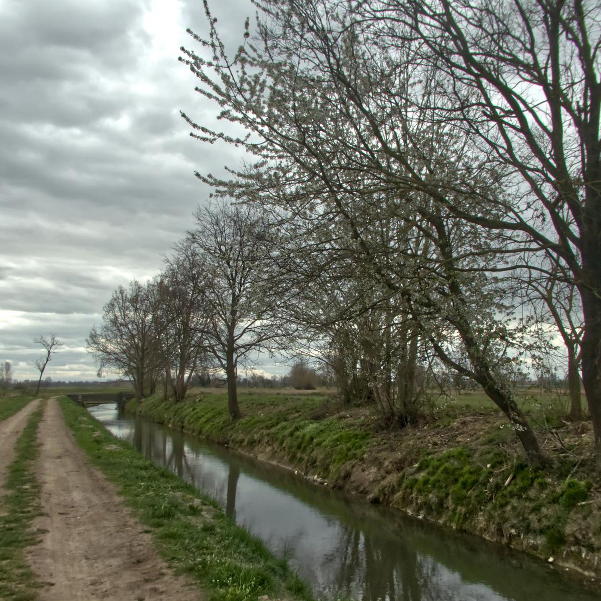
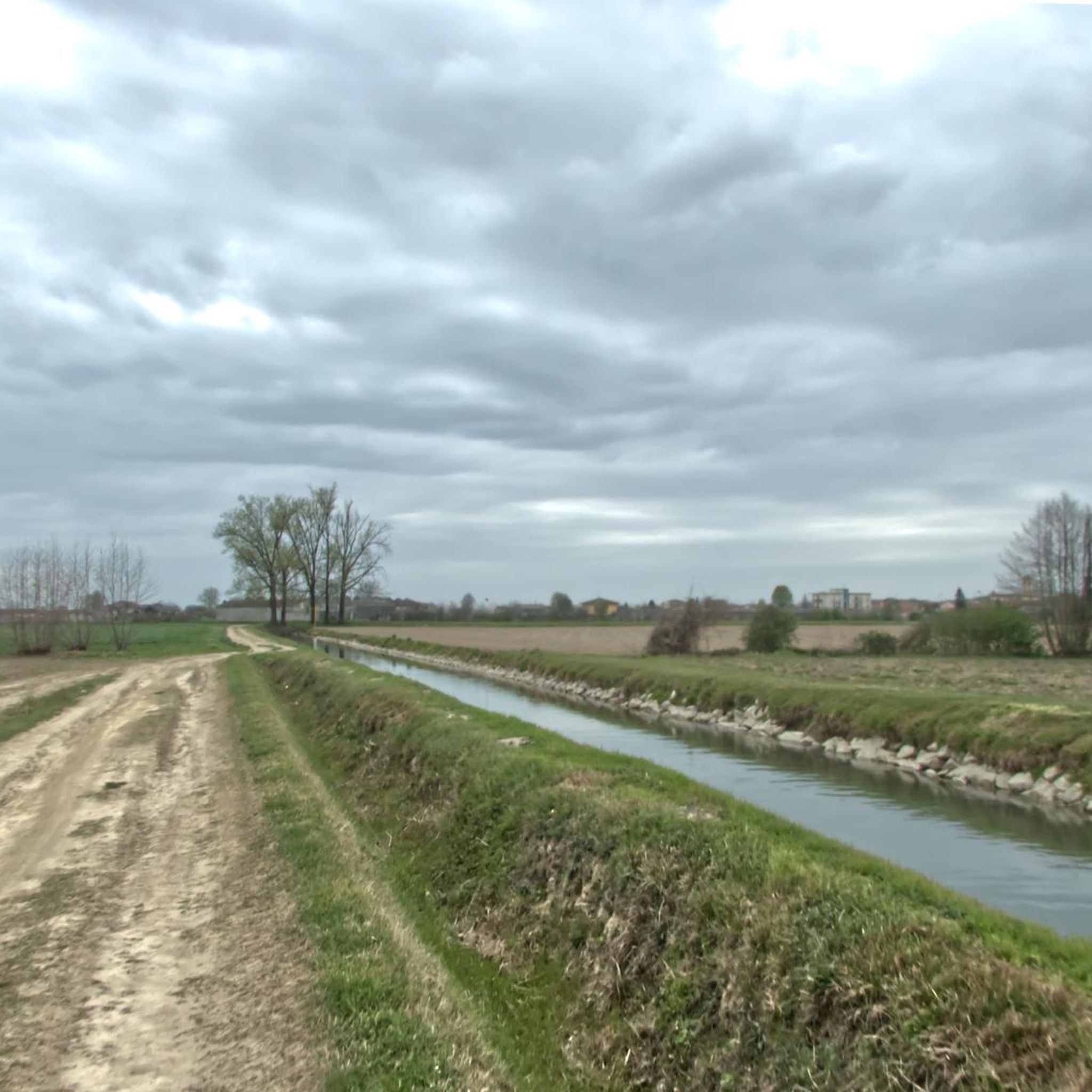
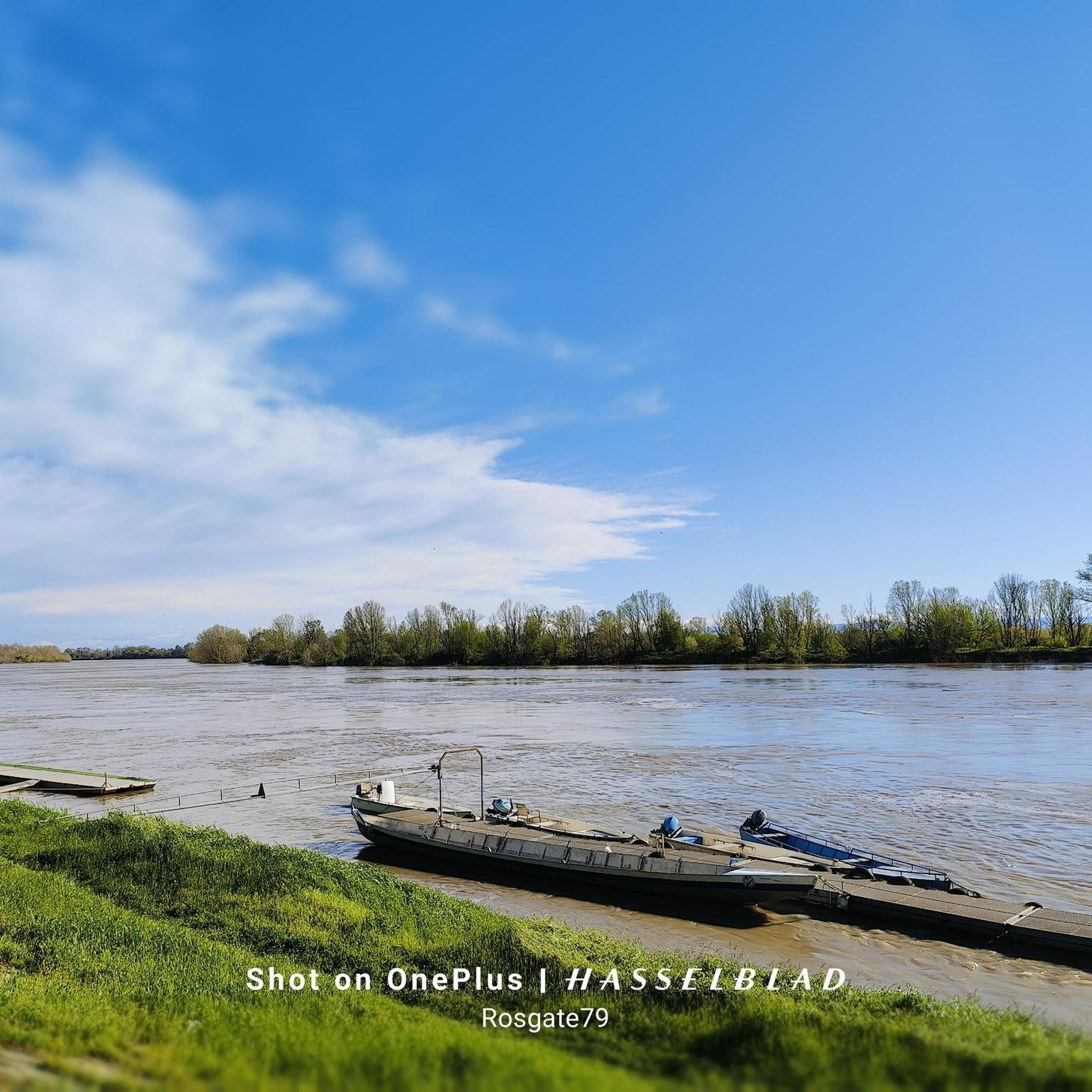
Hiking around Grontardo offers routes through flat agricultural landscapes and river plains, characteristic of the Po Valley region. The terrain generally features minimal elevation changes, making it accessible for various activity levels. Trails often follow rural paths and connect small towns, providing a blend of natural and cultural exploration.
Best hiking trails around Grontardo
- The most popular hiking route is Way of St. Julia Trail: Pontevico to Verolanuova, a 9.8 miles (15.8 km) trail that takes 4 hours 1…
Last updated: October 18, 2026
3.4
(5)
8
hikers
15.8km
04:01
50m
50m
Hike the moderate 9.8-mile Il Cammino di Santa Giulia from Pontevico to Verolanuova, exploring the Oglio River and Castello Merlino.
5.0
(2)
34
hikers
8.57km
02:11
20m
20m
Moderate hike. Good fitness required. Easily-accessible paths. Suitable for all skill levels.

7
hikers
14.8km
03:46
40m
40m
Moderate hike. Good fitness required. Easily-accessible paths. Suitable for all skill levels.
10
hikers
Moderate hike. Good fitness required. Easily-accessible paths. Suitable for all skill levels.
9
hikers
11.8km
02:57
10m
10m
Moderate hike. Good fitness required. Easily-accessible paths. Suitable for all skill levels.
Get access to more routes and recommendations from other explorers.
Already have an account?
Our route recommendations are based on thousands of hikes, rides, and runs completed by other people on komoot.
Start today with a free account
Your next adventure awaits.


Tips from the Community


A visit to this unusual museum is definitely worthwhile. Current prices, opening hours, and restrictions can be found here: https://museoverticale.it/
4
0
The historic city of Cremona in Lombardy is dominated by a monumental bell tower, the Torrazzo. At 112 meters tall, it is the tallest brick bell tower in Europe and one of the most impressive medieval structures in Italy. The Torrazzo was built gradually between the 13th and 14th centuries as part of the cathedral complex. Its brick construction testifies to both the technical ingenuity of medieval builders and the city's ambition to express its power and importance. In 1583, a unique astronomical clock was added to the tower, which still fascinates with its accuracy. Climbing the Torrazzo is a spiritual journey from earth to heaven, and it is not difficult to ascend the 502 steps that lead to the final terrace to enjoy a breathtaking 360° panorama. The visit includes a stop in the rooms dedicated to the study of time and astronomy in the new Vertical Museum, which was inaugurated in November 2018. https://www.cattedraledicremona.it/torrazzo-interno/?lang=de
5
0

Five centuries of Cremonese violin making; instruments by Amati, Guarneri, and Stradivari are on display. Instrument auditions are available. https://museodelviolino.org/it/
1
0

statue dedicated to Stradivari, curious that they put a question mark on his birth date
2
0

Splendid church with a Romanesque and Gothic layout, but with later Renaissance and Baroque works inside.
2
0

Doesn't really fit into the historic cityscape, but it's part of the story🤷🏻♂️
3
0
Frequently Asked Questions
How many hiking trails are available around Grontardo?
There are over 10 hiking routes available around Grontardo, offering a variety of experiences. The region features flat agricultural landscapes and river plains, characteristic of the Po Valley, making most trails accessible.
What is the best season for hiking in Grontardo?
The best seasons for hiking in Grontardo are typically spring and autumn. During these times, the weather is mild and pleasant, ideal for exploring the flat agricultural landscapes and rural paths without the intense heat of summer or the chill of winter. Spring brings blooming fields, while autumn offers comfortable temperatures and changing colors.
Are there easy hikes suitable for beginners in Grontardo?
Yes, Grontardo offers several easy hikes perfect for beginners. The terrain is generally flat with minimal elevation changes, making it very accessible. An example is the Torrazzo of Cremona – Cathedral of Saint Mary of the Assumption loop from Stadio Giovanni Zini, which is 3.8 miles (6.1 km) and leads through urban and historical sites.
Are there any challenging hikes near Grontardo?
While Grontardo's landscape is predominantly flat, there is at least one route classified as difficult among the 12 available tours. These more challenging options might involve longer distances or slightly more varied terrain, though significant elevation changes are rare in the Po Valley region. Most routes are moderate or easy.
Are the hiking trails around Grontardo suitable for families with children or prams?
Yes, many of the hiking trails around Grontardo are suitable for families with children and prams due to the region's flat agricultural landscapes and minimal elevation changes. Paths often follow rural roads or well-maintained tracks, making them accessible for strollers. Always check individual route details for specific surface conditions.
Are there any circular hiking routes in Grontardo?
Yes, there are several circular hiking routes available. For example, the Pieve di Comella loop from Pralboino offers a moderate 5.1 miles (8.3 km) rural experience. Another option is the Hiking loop from Pralboino, which is 10.9 km long.
Can I bring my dog on the hiking trails in Grontardo?
Generally, dogs are welcome on hiking trails in the Grontardo area, especially on rural paths and agricultural roads. It's always advisable to keep your dog on a leash, particularly when passing through farmland or near livestock, and to respect local regulations. Ensure you carry water for your pet, as natural water sources might be limited.
What kind of scenery can I expect on hikes around Grontardo?
Hikes around Grontardo offer views of flat agricultural landscapes, expansive river plains, and charming rural paths connecting small towns. You'll experience the characteristic scenery of the Po Valley, with fields, waterways, and glimpses of local architecture. While there are no dramatic mountain vistas, the open spaces provide a sense of tranquility.
Are there any historical or cultural sights to see along the trails?
Yes, the Grontardo area is rich in historical and cultural sights. You can explore landmarks such as the impressive Torrazzo of Cremona and the magnificent Cathedral of Saint Mary of the Assumption. Additionally, there are several historic castles like Gazzo Castle and Ostiano Castle, which can be found near some routes.
Where can I find parking for hiking trails near Grontardo?
Parking for hiking trails around Grontardo is generally available in or near the starting points of routes, especially in the small towns and villages. Look for public parking areas in places like Pontevico or Pralboino, which serve as common access points for many trails. Always check local signage for any restrictions.
Is public transport available to access hiking trails in Grontardo?
Public transport options to access hiking trails in Grontardo may be limited, as many routes start from smaller villages or rural areas. Regional bus services connect some of the towns, but direct access to trailheads might require a short walk or a taxi. It's recommended to check local bus schedules in advance if relying on public transport.
What should I wear for hiking in Grontardo, especially in spring?
For hiking in Grontardo, particularly in spring, wear comfortable, layered clothing. Mornings can be cool, but temperatures often rise during the day. Light, breathable fabrics are ideal. Sturdy walking shoes are recommended, as paths can be unpaved. A light rain jacket is also advisable, as spring weather can be unpredictable.
Are there any pubs or places to eat near the hiking trails?
Yes, as many trails connect small towns and villages, you'll often find local trattorias, cafes, or small shops where you can stop for refreshments or a meal. These establishments offer a taste of local cuisine and a chance to rest during your hike. It's a good idea to check opening hours, especially in smaller communities.
What do other hikers say about the trails in Grontardo?
The trails around Grontardo are highly rated by the komoot community, with an average score of 4.2 stars from over 26 reviews. Hikers often praise the peaceful agricultural scenery, the accessibility of the flat routes, and the blend of natural and cultural exploration offered by paths connecting various towns and historical sites.
Most popular routes around Grontardo
Most popular attractions around Grontardo

Get inspired with the komoot mobile app


Explore more
Browse the best Hikes in other regions.
