The best walks and hikes around Gerenzano
4.1
(1344)
8,008
hikers
452
hikes
Hiking around Gerenzano, located in the Province of Varese, Italy, offers diverse natural landscapes within Lombardy. The region features interconnected park systems, including Parco del Lura, Parco degli Aironi, and Bosco del Rugareto. These areas provide varied terrain, from gravel paths to natural trails and wooded sections, with generally low elevation changes. Streams such as the Lura and Bozzente flow through the local woods and green spaces.
Best hiking trails around Gerenzano
- The most popular hiking route is Bridge over…
Last updated: October 12, 2026
3.5
(14)
67
hikers
Moderate hike. Good fitness required. Easily-accessible paths. Suitable for all skill levels.
4.0
(3)
17
hikers
Easy hike. Great for any fitness level. Easily-accessible paths. Suitable for all skill levels.

4.6
(9)
65
hikers
6.14km
01:34
20m
20m
Easy hike. Great for any fitness level. Easily-accessible paths. Suitable for all skill levels.
4.0
(4)
27
hikers
Moderate hike. Good fitness required. Easily-accessible paths. Suitable for all skill levels.
21
hikers
5.24km
01:20
10m
10m
Easy hike. Great for any fitness level. Easily-accessible paths. Suitable for all skill levels.
Get access to more routes and recommendations from other explorers.
Already have an account?
Our route recommendations are based on thousands of hikes, rides, and runs completed by other people on komoot.
Start today with a free account
Your next adventure awaits.
Tips from the Community

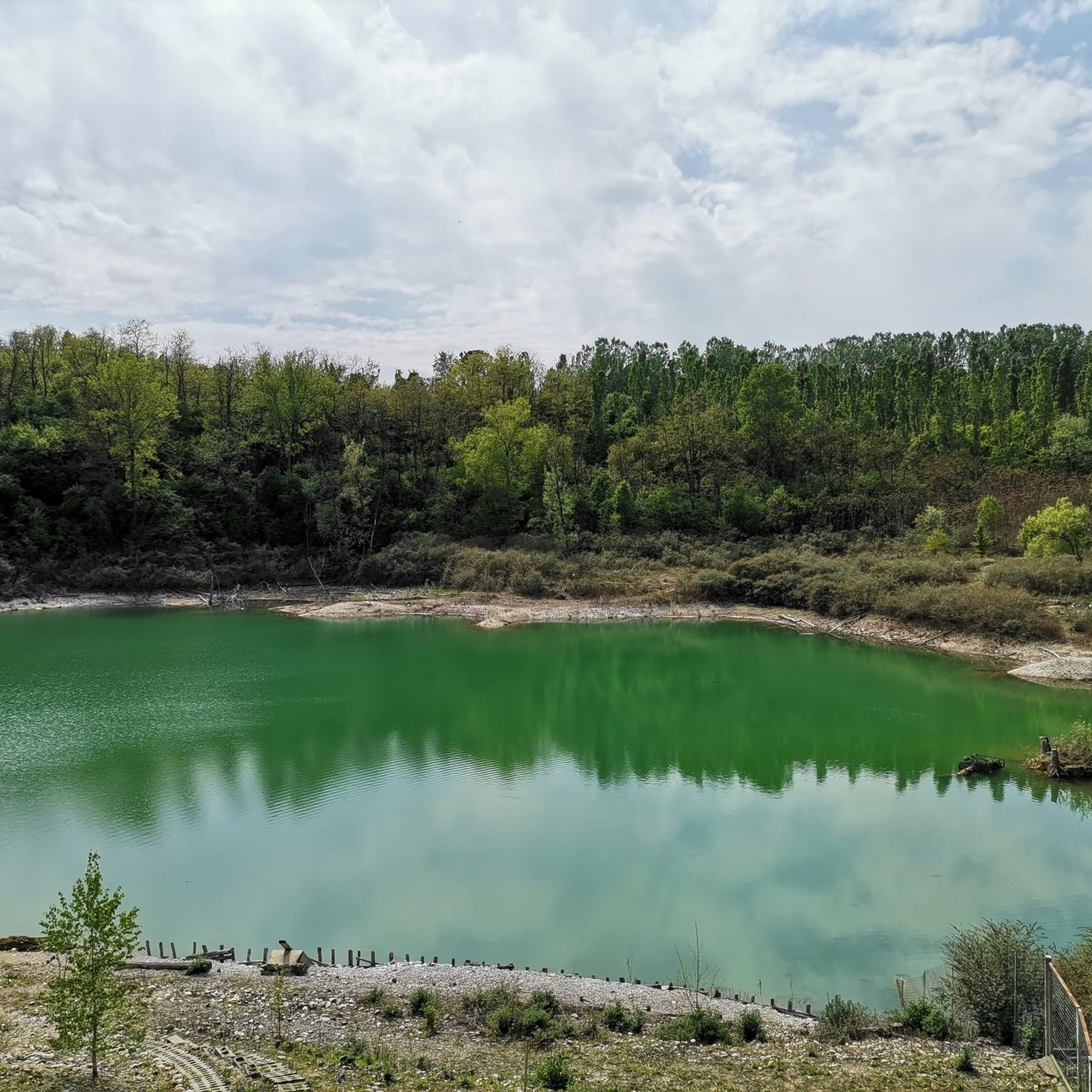
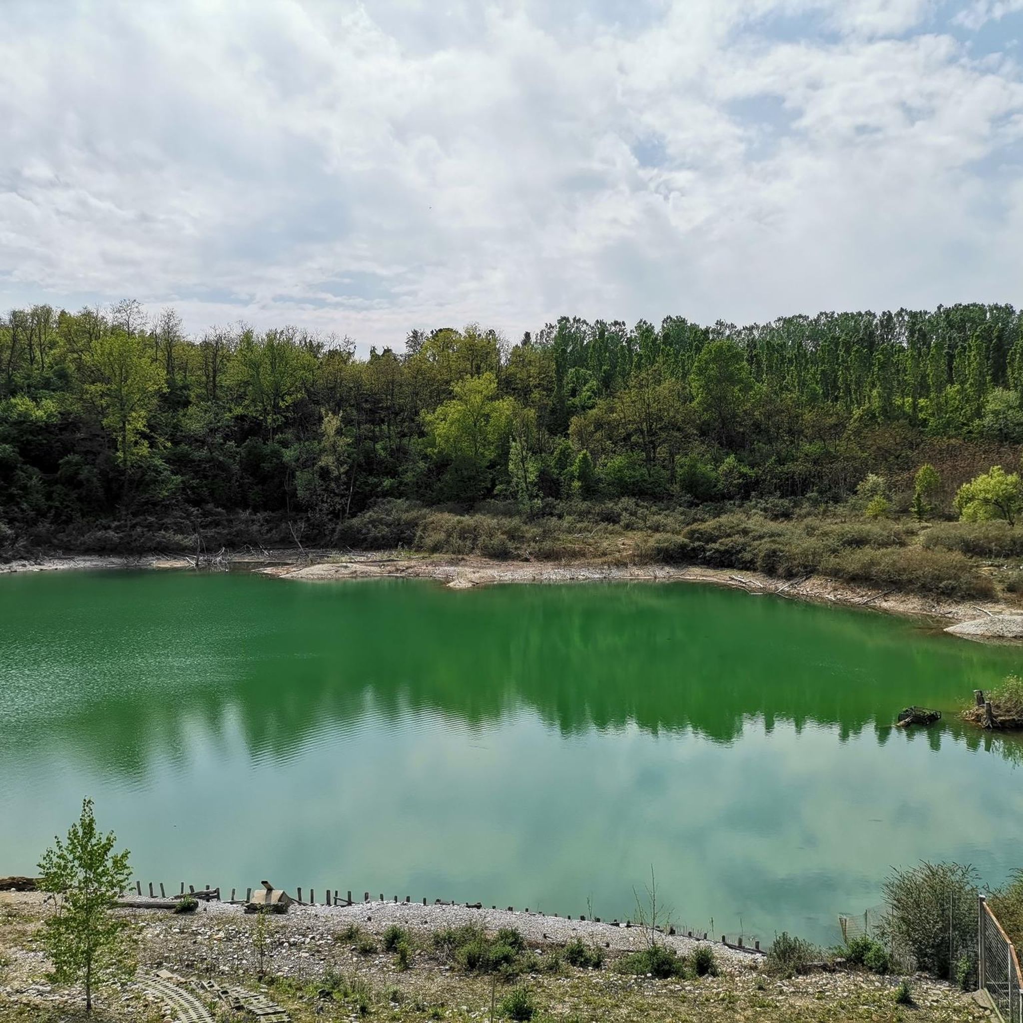
The Lura is a stream in Lombardy that originates near the Italian-Swiss border, in the municipality of Uggiate con Ronago, at an altitude of about 400 m. The Lura has a total length of 46.2 km and a drainage basin of 120 km², and is today the largest tributary of the Olona river.
0
0

bridge over the Lura in the homonymous park
0
0

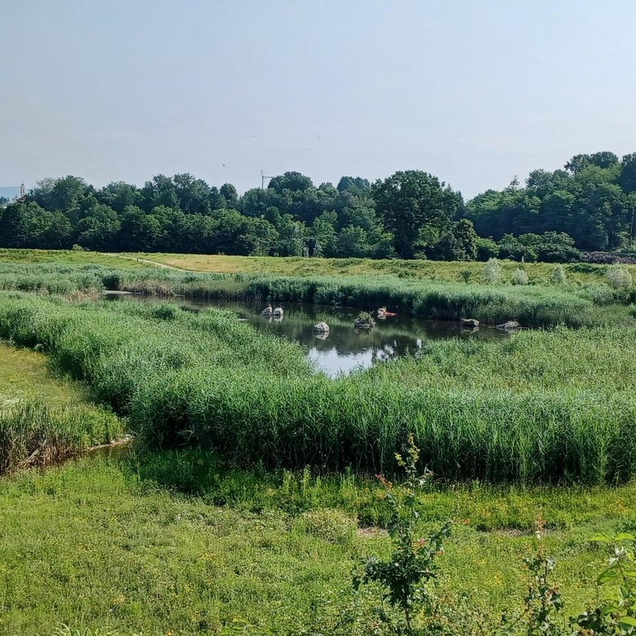
Il Parco del Lura is a local park of supramunicipal interest established for the protection and enhancement of the Lura stream valley in the stretch that extends from Cassina Rizzardi to Lainate. The municipalities adhering to the consortium are: Bregnano, Cadorago, Caronno Pertusella, Cassina Rizzardi, Cermenate, Garbagnate Milanese, Guanzate, Lainate, Lomazzo, Rovellasca, Rovello Porro and Saronno
0
0

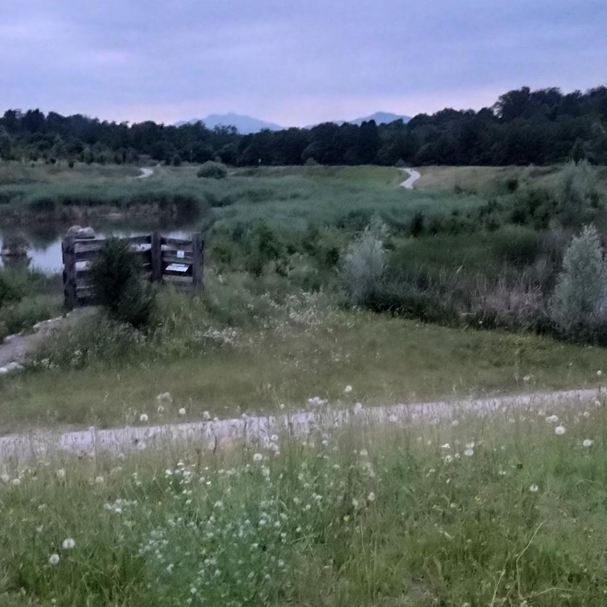
The main path leading to Rovello
0
0

perfect for a leisurely bike ride
0
0

The Lura is the Italian Emscher. It too has been and is being renaturalized and transformed into a floodplain and park landscape.
3
0

Spring water flows here at around 9 – 12°C, rich in limestone. The fountain was particularly valuable for agricultural irrigation, as it exploited the proximity of the aquifer by bringing the water downstream via canals. In the past this technique allowed marcita cultivation, that is, flooding the fields. The practice is no longer widespread but the network of channels remains.
1
0

Another smooth cycle path with variable surfaces
2
0
Frequently Asked Questions
How many hiking trails are available around Gerenzano?
Gerenzano offers a wide variety of hiking opportunities, with nearly 400 trails available. These range from easy strolls to more challenging routes, catering to different fitness levels.
What kind of terrain can I expect on hikes near Gerenzano?
The trails around Gerenzano feature diverse terrain, including gravel paths, natural dirt trails, and some asphalt sections. You'll find routes winding through extensive wooded areas like Bosco del Rugareto, alongside streams in Parco del Lura, and through accessible green spaces such as Parco degli Aironi. Most routes have generally low elevation changes, making them suitable for a broad range of hikers.
Are there any easy, family-friendly walks in Gerenzano?
Yes, Gerenzano is well-suited for family outings and beginners. Over 200 of the available routes are classified as easy. A great option is the Parco degli Aironi Lake – View of Lake degli Aironi loop from Gerenzano, an easy 2.7 km path that winds through a transformed green space with lake views, perfect for all fitness levels.
Can I find circular hiking routes in Gerenzano?
Many of the trails around Gerenzano are designed as loops, allowing you to start and end at the same point. For a moderate option, consider the Hiking loop from Gerenzano, which covers about 10.7 km and takes you through varied local landscapes.
Are there any dog-friendly hiking trails in Gerenzano?
Yes, the natural parks and wooded areas around Gerenzano, such as Parco del Lura and Bosco del Rugareto, are generally dog-friendly. Many trails are unpaved and offer plenty of space for dogs to explore. Always ensure your dog is under control and check for any specific local regulations regarding leashes.
What interesting natural attractions can I see while hiking?
While hiking around Gerenzano, you can explore various natural features. Highlights include the tranquil Rosa Camuna Pond and Laghetto La Fametta, both offering peaceful lakeside views. You might also encounter unique natural monuments like the Formation of the stump or explore the expansive Heathlands of the Seveso Plateau.
Are there any challenging hikes for experienced hikers?
For those seeking a more demanding experience, Gerenzano does offer some difficult routes. The Along the Lura stream – Lura Park loop from Rovello Porro is a challenging 19.5 km hike with more significant elevation changes, perfect for good to very good fitness levels.
What is the best season for hiking in Gerenzano?
Gerenzano's trails are enjoyable throughout much of the year. Spring and autumn offer pleasant temperatures and vibrant natural colors, making them ideal for hiking. Summer can be warm, but the extensive wooded areas like Bosco del Rugareto provide welcome shade. Winter hiking is also possible, especially on the less challenging routes, though some paths might be muddy after rain or snow.
What do other hikers enjoy most about hiking in Gerenzano?
The hiking trails around Gerenzano are highly rated by the komoot community, with an average score of 4.2 stars from over 1000 reviews. Hikers often praise the region's diverse natural landscapes, the accessibility of its interconnected park systems like Parco del Lura and Bosco del Rugareto, and the variety of routes suitable for all skill levels.
Is there public transport access to hiking areas near Gerenzano?
Gerenzano's strategic location makes it accessible, and some hiking areas, particularly those within the town's immediate vicinity or connected by local bus services, can be reached via public transport. For specific routes, it's advisable to check local bus schedules and connections to trailheads.
Where can I find information about the Bosco del Rugareto?
The Bosco del Rugareto is an extensive wooded area that spans several communities, including Gerenzano, and is a significant local park. It features a network of paths ideal for walking and cycling. You can find more general information about this area on Wikipedia.
Most popular routes around Gerenzano
Most popular attractions around Gerenzano

Get inspired with the komoot mobile app


Explore more
Browse the best Hikes in other regions.
