The best walks and hikes around Saronno
4.1
(818)
3,834
hikers
47
hikes
Hiking trails near Saronno offer diverse landscapes, from easy strolls to more challenging treks, thanks to its proximity to several natural parks and green spaces. The region is characterized by the presence of Parco Lura and Parco delle Groane, featuring woodlands, agricultural fields, and riparian areas. These areas provide varied terrain suitable for different fitness levels, with minimal elevation gain on many paths.
Best hiking trails around Saronno
- The most popular hiking route is Strada Murone Loop, a 4.4…
Last updated: October 10, 2026
1
hikers
7.02km
01:47
10m
10m
Hike the easy 4.4-mile (7.0 km) Strada Murone Loop in Parco delle Groane, a pleasant route taking about 1 hour and 46 minutes.
4.3
(19)
121
hikers
7.31km
01:52
30m
30m
Easy hike. Great for any fitness level. Easily-accessible paths. Suitable for all skill levels.

4.6
(5)
68
hikers
4.68km
01:12
20m
20m
Easy hike. Great for any fitness level. Easily-accessible paths. Suitable for all skill levels.
4.3
(9)
79
hikers
Moderate hike. Good fitness required. Easily-accessible paths. Suitable for all skill levels.
3.5
(14)
67
hikers
Moderate hike. Good fitness required. Easily-accessible paths. Suitable for all skill levels.
Get access to more routes and recommendations from other explorers.
Already have an account?
Our route recommendations are based on thousands of hikes, rides, and runs completed by other people on komoot.
Start today with a free account
Your next adventure awaits.
Tips from the Community

The Lura is a stream in Lombardy that originates near the Italian-Swiss border, in the municipality of Uggiate con Ronago, at an altitude of about 400 m. The Lura has a total length of 46.2 km and a drainage basin of 120 km², and is today the largest tributary of the Olona river.
0
0

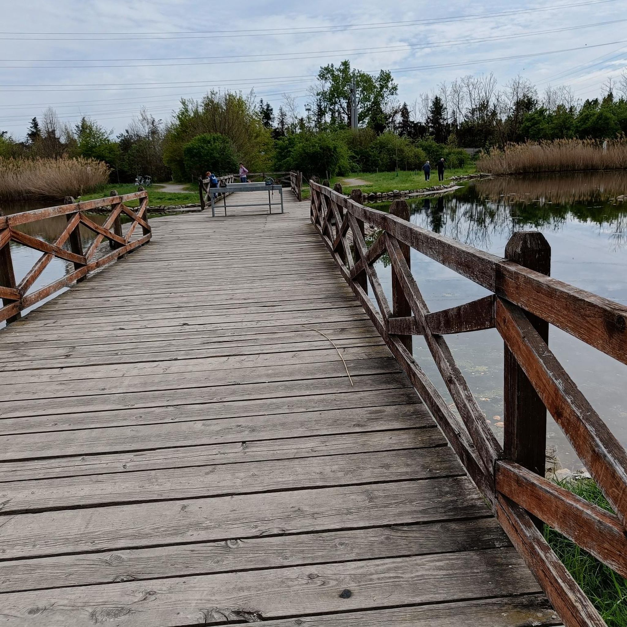
bridge over the Lura in the homonymous park
0
0

Il Parco del Lura is a local park of supramunicipal interest established for the protection and enhancement of the Lura stream valley in the stretch that extends from Cassina Rizzardi to Lainate. The municipalities adhering to the consortium are: Bregnano, Cadorago, Caronno Pertusella, Cassina Rizzardi, Cermenate, Garbagnate Milanese, Guanzate, Lainate, Lomazzo, Rovellasca, Rovello Porro and Saronno
0
0

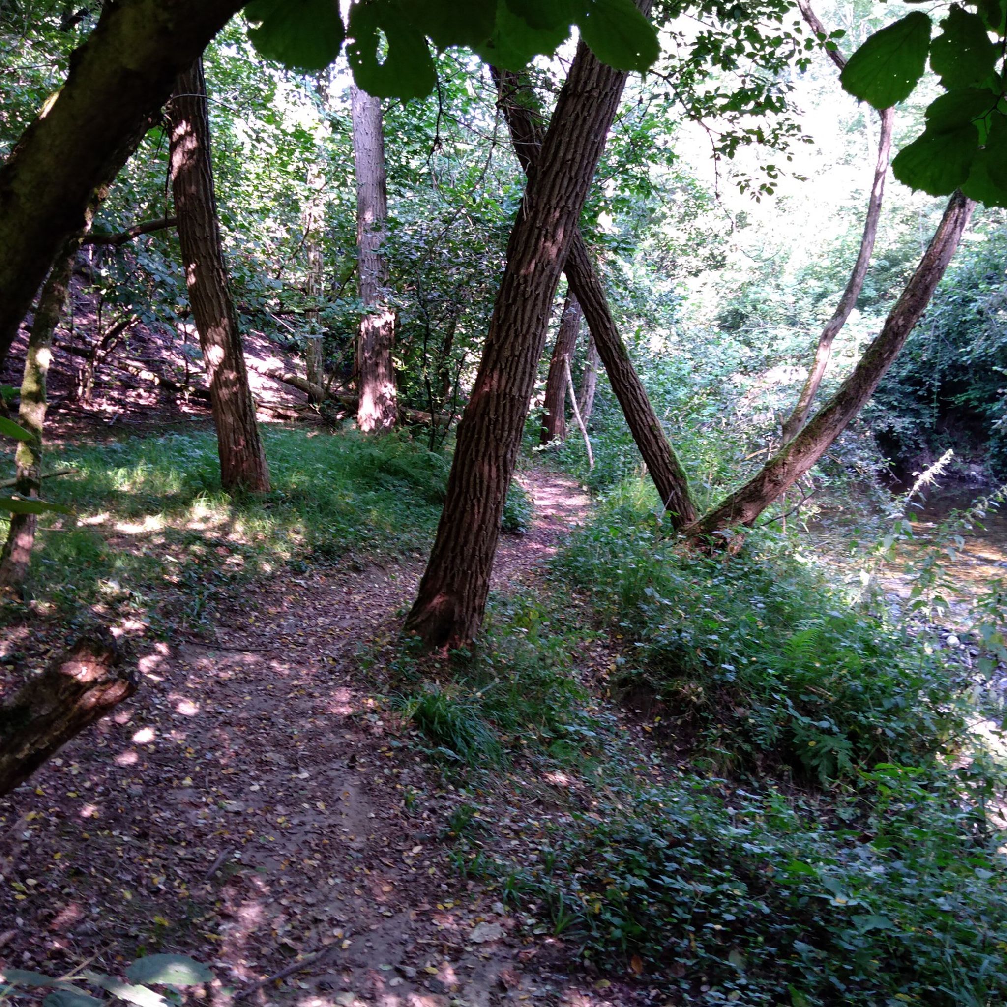
The main path leading to Rovello
0
0

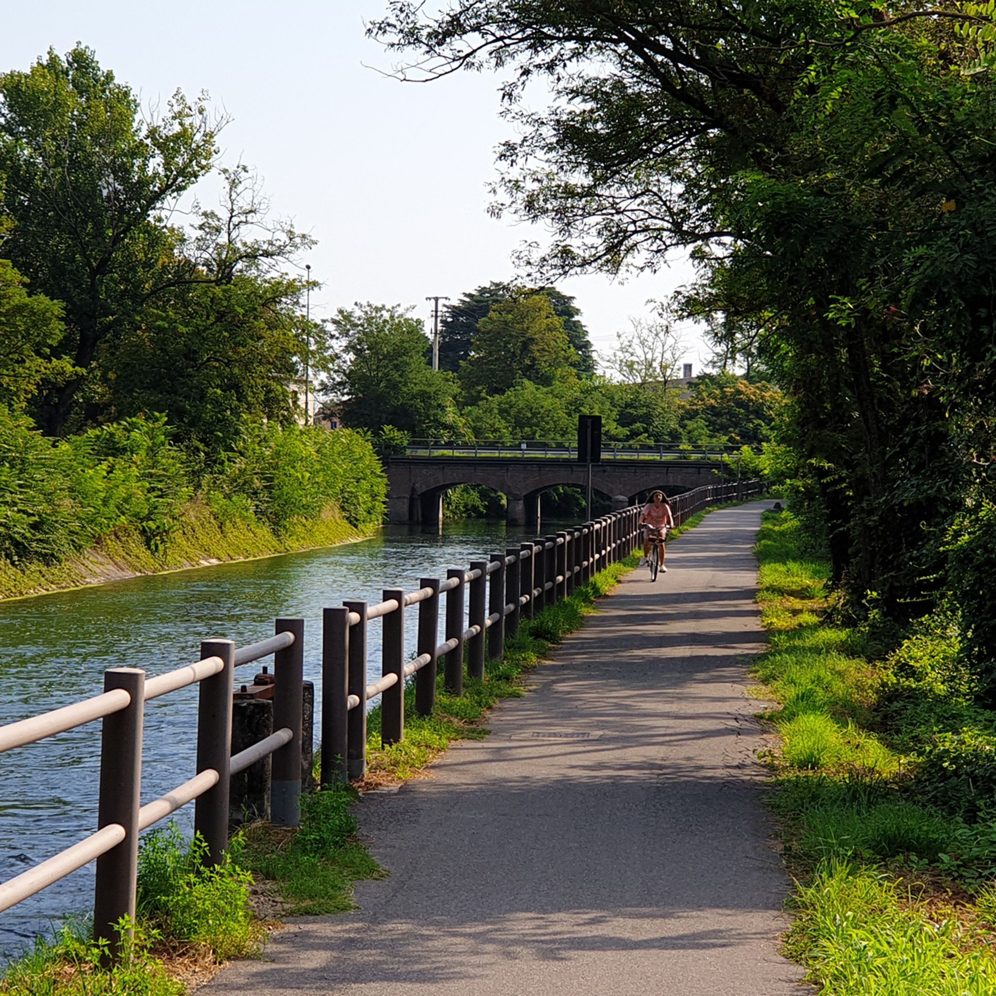
perfect for a leisurely bike ride
0
0

Heart of the Saronno district which was annexed to the city in the mid 1800s, first an independent town
0
0

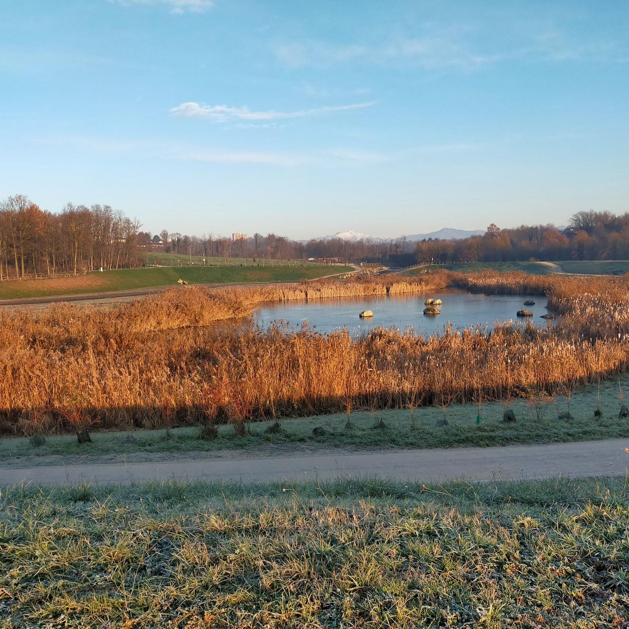
The Lura is the Italian Emscher. It too has been and is being renaturalized and transformed into a floodplain and park landscape.
3
0

Frequently Asked Questions
How many hiking trails are available around Saronno?
Saronno offers a good selection of hiking trails, with over 25 routes available. These trails vary in difficulty, providing options for both leisurely walks and more challenging excursions through the region's natural parks and green spaces.
What types of landscapes can I expect to see while hiking near Saronno?
Hiking around Saronno primarily takes you through natural parks like Parco Lura and Parco delle Groane. You'll experience characteristic Lombardy landscapes, including woodlands of locust and oak trees, riparian areas along the Lura Stream, and agricultural fields with meadows and cereals. The Villoresi Canal also offers pleasant walking paths.
Are there easy hiking trails suitable for beginners or leisurely walks?
Yes, Saronno is an excellent destination for easy hikes. The majority of trails, specifically 25 out of 28, are rated as easy. These paths often have minimal elevation gain and are suitable for all fitness levels, such as the popular Strada Murone Loop in Parco delle Groane.
Are there any challenging hikes around Saronno for experienced hikers?
While most trails are easy, there are a few options for those seeking a more challenging experience. For instance, the Along the Lura stream – Lura Park loop from Rovello Porro is rated as difficult, covering nearly 20 km with over 120 meters of elevation gain.
Are the hiking trails around Saronno suitable for families with children?
Yes, many trails in areas like Parco Lura and Parco delle Groane are well-suited for families. They often feature easy terrain and shorter distances, making them enjoyable for all ages. The natural settings provide a great opportunity for children to explore the outdoors.
Are dogs allowed on the hiking trails near Saronno?
Generally, natural parks like Parco Lura and Parco delle Groane are dog-friendly, allowing well-behaved dogs on leashes. It's always recommended to check specific park regulations or trail signs for any restrictions before heading out with your pet.
Are there circular hiking routes available in Saronno?
Yes, many of the hiking routes around Saronno are circular, allowing you to start and end at the same point. Examples include the Strada Murone Loop in Parco delle Groane and the Parco Lura Entrance – Cascina Paiosa loop from Cassina Ferrara, which are both popular circular options.
What are some interesting natural attractions or landmarks to see along the trails?
While hiking, you can explore various natural features. In Parco delle Groane, you might encounter the Groane Trail. Near Saronno, you can also visit Lura Park, the Rosa Camuna Pond, or the Prati del Ceppo, which offer pleasant natural surroundings.
Is public transport available to reach hiking trailheads in Saronno?
Saronno is a well-connected town, and public transport options like trains and buses can help you reach various points in the surrounding area. Many trailheads are accessible from the town center or nearby villages, but checking local bus schedules for specific park entrances is advisable.
Are there parking facilities available at the trailheads?
Yes, for many of the popular hiking areas like Parco Lura and Parco delle Groane, you will find designated parking areas near the main entrances or starting points of the trails. These facilities make it convenient for visitors arriving by car.
What do other hikers enjoy the most about hiking in Saronno?
The hiking experience in Saronno is highly rated by the komoot community, with an average score of 4.1 stars from over 600 reviews. Hikers often praise the quiet woodlands, well-maintained paths, and the accessibility of the natural parks for a refreshing escape into nature.
What is the best time of year to go hiking near Saronno?
The best time to hike near Saronno is typically during spring (April to June) and autumn (September to October) when the weather is mild and pleasant. Summers can be warm, but shaded trails in the woodlands offer relief. Winter hiking is also possible, though some paths might be muddy or require appropriate gear.
Most popular attractions around Saronno

Get inspired with the komoot mobile app


Explore more
Browse the best Hikes in other regions.
