The best road cycling routes around Tappenbeck
4.6
(531)
6,728
riders
336
rides
Road cycling routes around Tappenbeck traverse the picturesque Lower Saxony countryside, characterized by rolling hills and lush forests. The region features well-maintained cycling infrastructure, including dedicated paths. Cyclists can explore routes alongside significant waterways like the Elbe Lateral Canal and the Mittelland Canal. The terrain offers varied experiences, from gentle climbs to flat canal-side sections.
Best road cycling routes around Tappenbeck
- The most popular road cycling route is Ulenboom Linden Tree – Grußendorf–Ehra Road loop from Jembke, a 24.1…
Last updated: July 11, 2026
5.0
(1)
32
riders
39.0km
01:29
80m
80m
Easy road ride. Great for any fitness level. Mostly well-paved surfaces and easy to ride.
5.0
(3)
24
riders
28.9km
01:08
70m
70m
Easy road ride. Great for any fitness level. Mostly well-paved surfaces and easy to ride.

Sign up for free
4.8
(4)
20
riders
70.0km
02:41
170m
170m
Moderate road ride. Good fitness required. Mostly well-paved surfaces and easy to ride.
2.5
(2)
16
riders
36.0km
01:23
110m
110m
Easy road ride. Great for any fitness level. Mostly well-paved surfaces and easy to ride.
5.0
(1)
9
riders
22.3km
01:02
70m
70m
Moderate road ride. Great for any fitness level. Some segments of this route may be unpaved and difficult to ride.
Get access to more routes and recommendations from other explorers.
Sign up for free
Already have an account?
Our route recommendations are based on thousands of hikes, rides, and runs completed by other people on komoot.
Start today with a free account
Your next adventure awaits.
Login or Signup
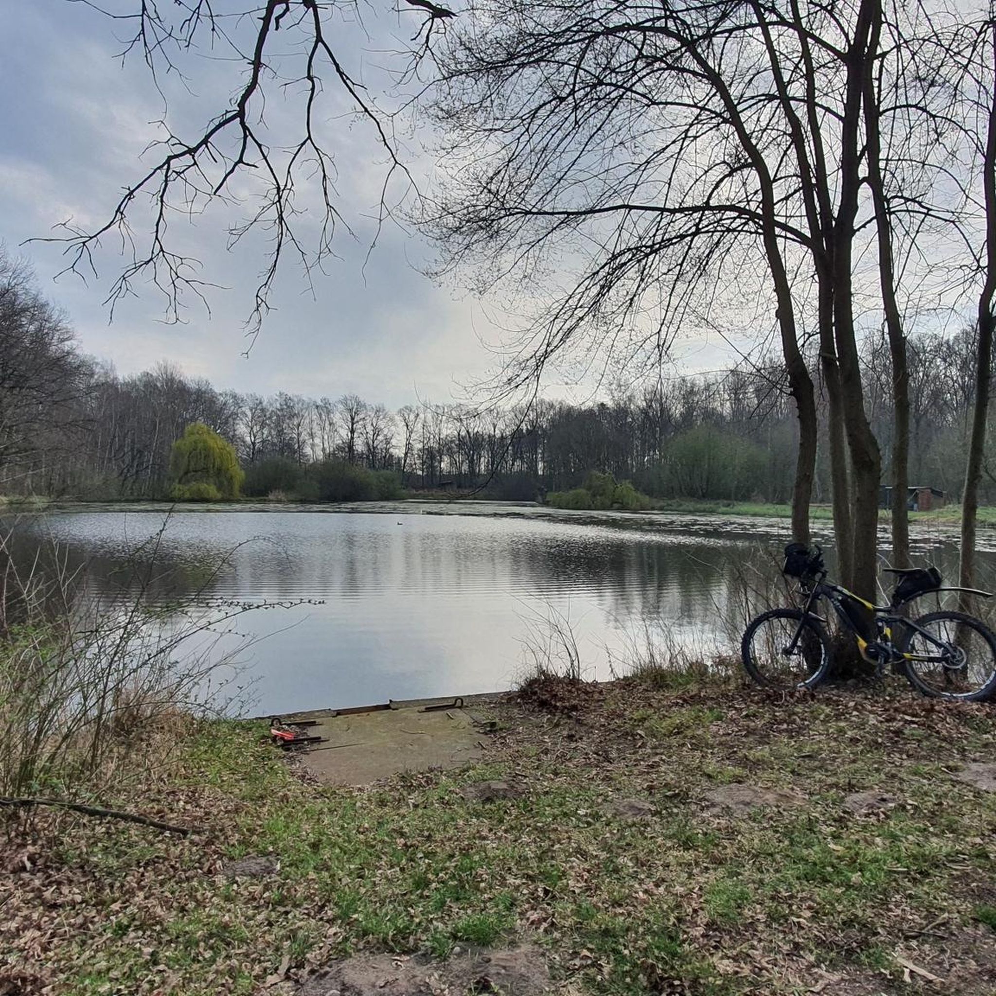
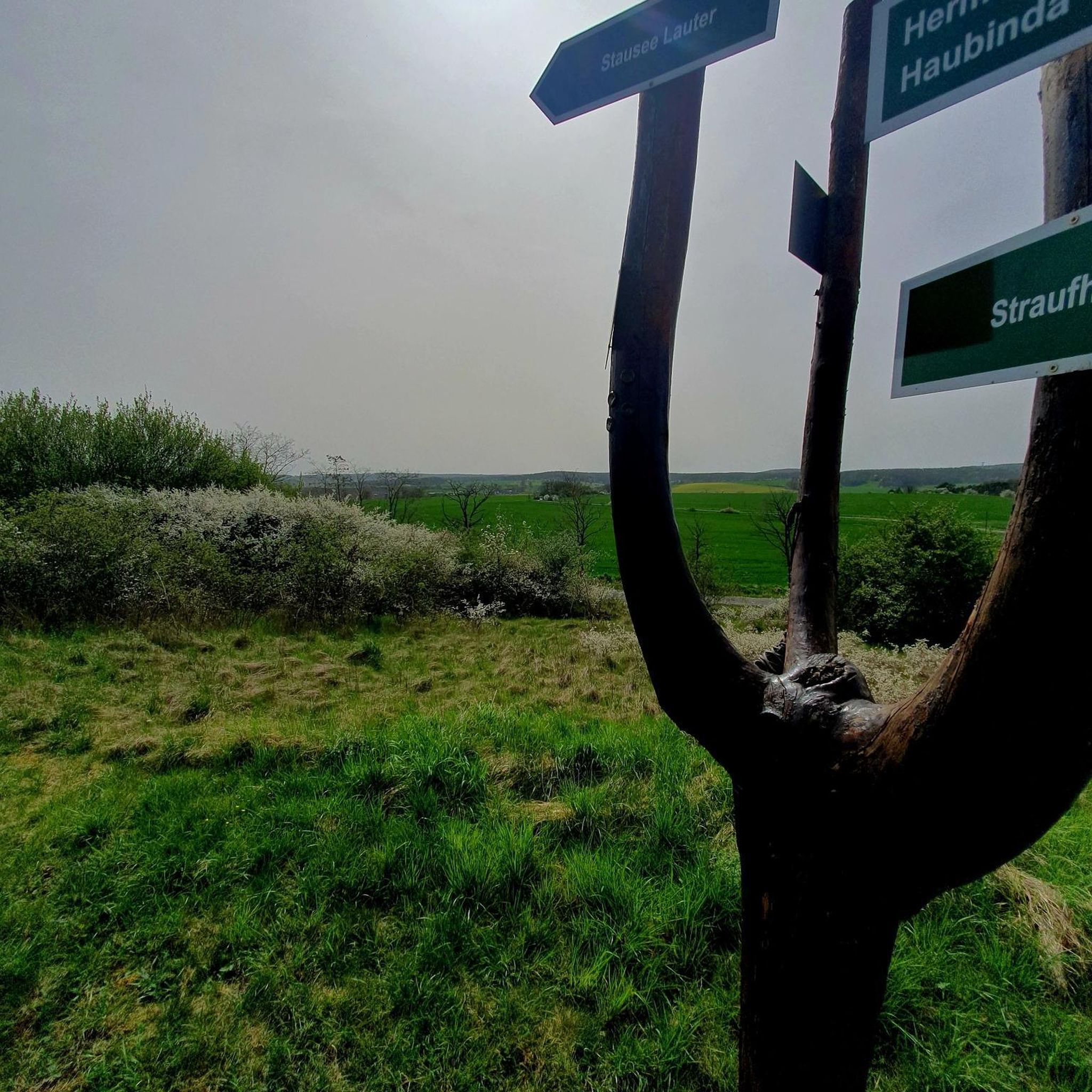
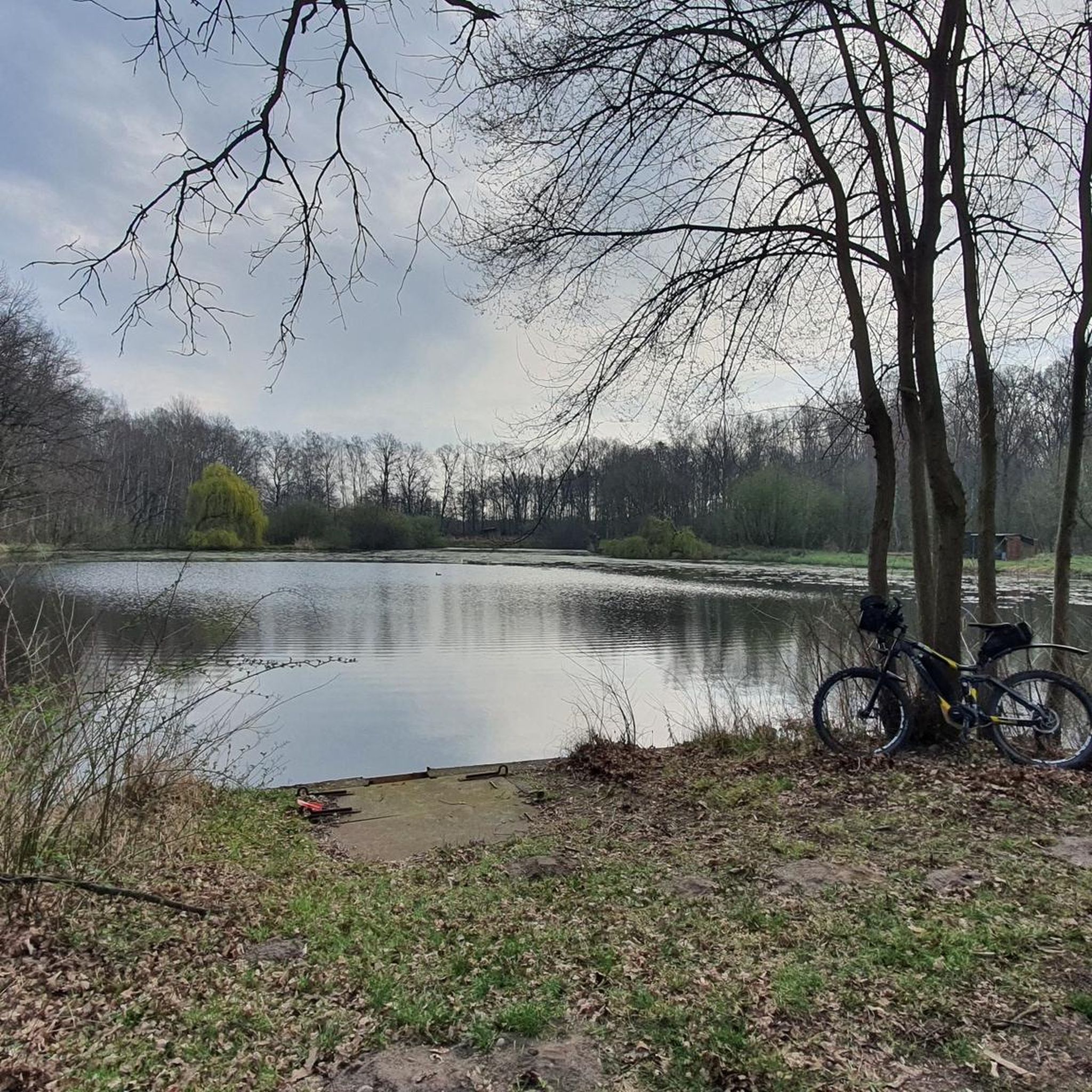
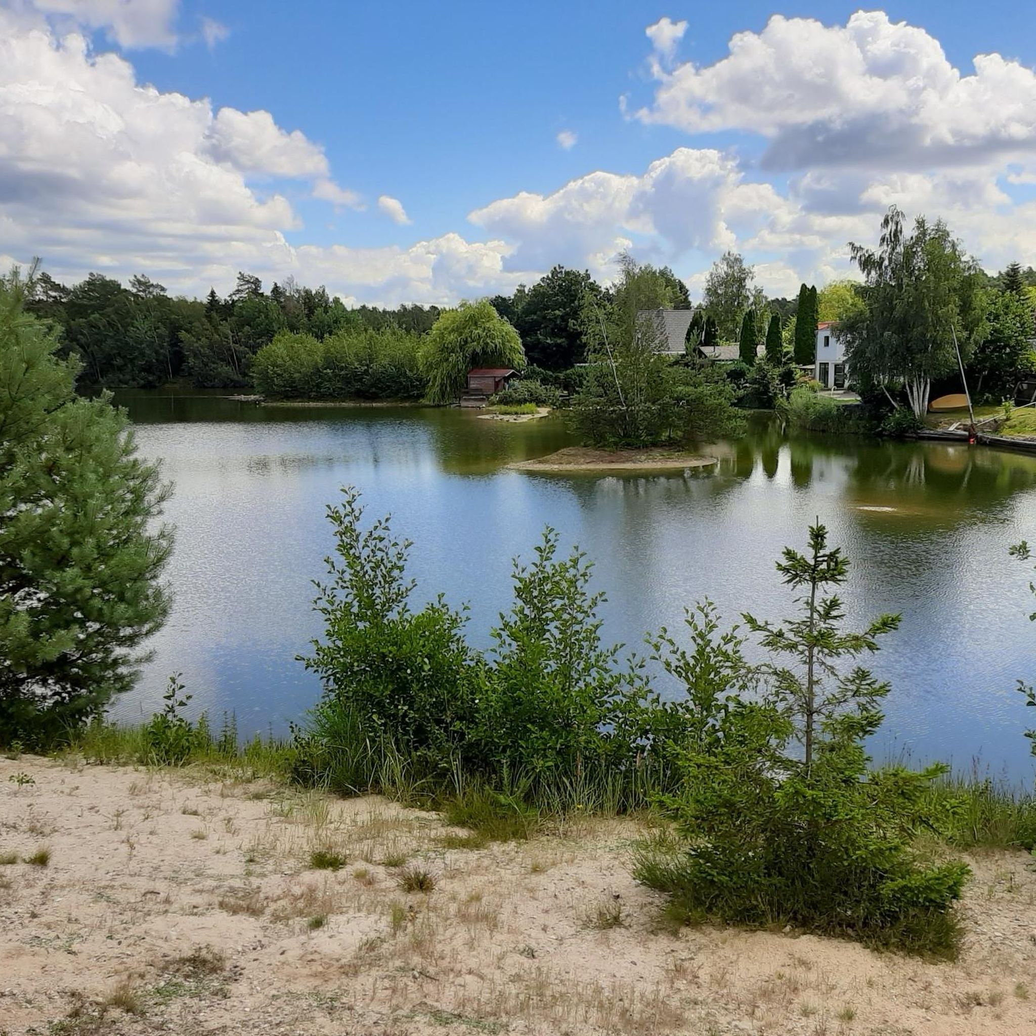
Tips from the Community

A good, realistic tip: Go onto one of the cycle and foot paths along the Mittellandkanal and find one of the road bridges (e.g. outside of Gifhorn towards Isenbüttel). From above you have the best view, especially when a ship passes or in the late afternoon with the sun low – then the canal appears surprisingly calm and spacious.
0
0
The Elbe-Seitenkanal (ESK) is one of the most important artificial waterways in Northern Germany. It connects the Mittelland Canal near Wolfsburg (Sülfeld) with the Elbe near Artlenburg (near Lüneburg). The canal was opened in 1976 and is approximately 115 kilometers long. It was built to make Elbe shipping independent of the fluctuating water levels of the Elbe and the former inner-German border.
0
0
"Ulenboom" is Low German for owl tree. The name comes from the fact that owls found shelter in the crown or in the hollows of the old trunk. In village folklore, the call of the owl was often considered a mystical sign, which gave the tree a special aura. The linden tree is estimated to be several hundred years old. It has witnessed wars, village fires and the transformation from a heathland circular village to a modern community.
0
0
A very nice cycle path to Grußendorf
0
0

Hey, unfortunately it's just not the Mittelland Canal. Best regards
0
0

Cars travel fast on the L289. There's a bike path between Lessien and Ehra that's easy to ride!
1
0
Hold a bridge over a canal. 🙈
0
0

The entire network of junctions in the district of Gifhorn can be found here: https://www.suedheide-gifhorn.de/urlaubsthemen/radfahren/knotenpunkte
1
0
Frequently Asked Questions
How many road cycling routes are available around Tappenbeck?
There are over 340 road cycling routes around Tappenbeck, offering a wide variety of options for different skill levels and preferences. The komoot community has explored more than 6000 road cycling tours in the area.
What kind of terrain can I expect on road cycling routes in Tappenbeck?
Road cycling routes in Tappenbeck traverse the picturesque Lower Saxony countryside, featuring rolling hills, lush forests, and well-maintained cycling infrastructure. You'll find varied terrain, from gentle climbs and descents to flat sections alongside significant waterways like the Elbe Lateral Canal and the Mittelland Canal.
Are there routes suitable for beginners or families in Tappenbeck?
Yes, Tappenbeck offers numerous easy road cycling routes perfect for beginners or families. For example, the Junction 12 – View of the Elbe Lateral Canal loop from Tappenbeck is an easy 17.9-mile (28.9 km) path that provides scenic views without being overly strenuous.
What is the best time of year for road cycling in Tappenbeck?
May is a particularly popular month for road cycling in Tappenbeck, offering pleasant weather conditions to enjoy the region's natural beauty. The well-maintained trails are generally suitable for cycling throughout the warmer months.
Can I find circular road cycling routes in Tappenbeck?
Many of the road cycling routes around Tappenbeck are designed as loops, allowing you to start and end in the same location. An example is the View of the Elbe Lateral Canal – View of the Mittelland Canal loop from Brackstedt, a 43.5-mile (69.9 km) route through canal-side landscapes.
What scenic viewpoints or attractions can I see along road cycling routes in Tappenbeck?
Many routes offer views of the Elbe Lateral Canal and the Mittelland Canal. The region's proximity to Wolfsburg also means you can cycle past historical sites. For instance, the Wolfsburg Castle is surrounded by beautiful parks with cycle paths, and Fallersleben Castle is also nearby.
Are there any challenging road cycling routes in Tappenbeck?
While Tappenbeck is known for its rolling hills, most routes are considered easy to moderate. There are a few more challenging options for experienced cyclists, with 2 routes specifically rated as difficult among the 348 available.
What do other road cyclists say about the routes in Tappenbeck?
The road cycling routes in Tappenbeck are highly rated by the komoot community, with an average score of 4.6 stars from over 500 reviews. Cyclists often praise the well-maintained paths, the scenic countryside, and the diverse options available.
Are there opportunities for cafe stops along the road cycling routes?
The routes often pass through charming villages in the Lower Saxony countryside. While specific cafes aren't listed for each route, these villages typically offer opportunities for refreshments and breaks during your ride.
Are there road cycling routes with parking available in Tappenbeck?
Many road cycling routes in and around Tappenbeck are accessible from various starting points in the villages, where public parking is generally available. For example, routes starting from Jembke or Tappenbeck itself offer convenient access.
How can I access road cycling routes in Tappenbeck using public transport?
Tappenbeck's proximity to Wolfsburg (approximately 5.7 km away) means that routes can often be accessed via public transport connections to Wolfsburg, and then cycling a short distance to the starting points in Tappenbeck or surrounding villages.
Are there any historical sites or castles accessible by road bike near Tappenbeck?
Yes, the region boasts several historical sites and castles. You can cycle to places like Wolfsburg Castle, which is surrounded by a beautiful park, or explore the area around Burg Neuhaus, offering cultural points of interest along your ride.
Most popular routes around Tappenbeck
Most popular attractions around Tappenbeck

Get inspired with the komoot mobile app


Explore more
Browse the best Road cycling routes in other regions.
