The best road cycling routes around Tannenberg
4.5
(232)
3,174
riders
187
rides
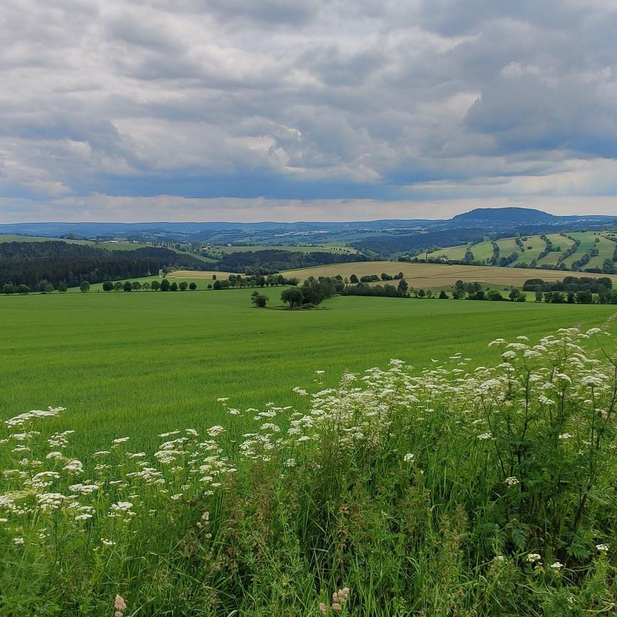
Road cycling routes around Tannenberg navigate through the varied topography of the Erzgebirgskreis region in Saxony, Germany. The landscape features rolling hills, dense forests, and picturesque valleys, providing diverse terrain for cyclists. Routes often include climbs and descents, with elevations ranging up to 731 meters at points like Greifensteine Observation Rock. The area offers a mix of quiet roads and partially traffic-free paths, suitable for different levels of road cycling.
Best road cycling routes around Tannenberg
- The most popular road…
Last updated: August 24, 2026
4.3
(3)
76
riders
Hard road ride. Very good fitness required. Mostly well-paved surfaces and easy to ride.
4.2
(5)
103
riders
49.2km
02:14
560m
560m
Moderate road ride. Good fitness required. Mostly well-paved surfaces and easy to ride.

Sign up for free
5.0
(1)
25
riders
64.0km
03:10
1,000m
1,000m
Hard road ride. Very good fitness required. Mostly well-paved surfaces and easy to ride.
5.0
(1)
42
riders
44.3km
02:06
610m
610m
Moderate road ride. Good fitness required. Mostly well-paved surfaces and easy to ride.
5.0
(3)
22
riders
Moderate road ride. Good fitness required. Mostly well-paved surfaces and easy to ride.
Get access to more routes and recommendations from other explorers.
Sign up for free
Already have an account?
Our route recommendations are based on thousands of hikes, rides, and runs completed by other people on komoot.
Start today with a free account
Your next adventure awaits.
Login or Signup

Tips from the Community

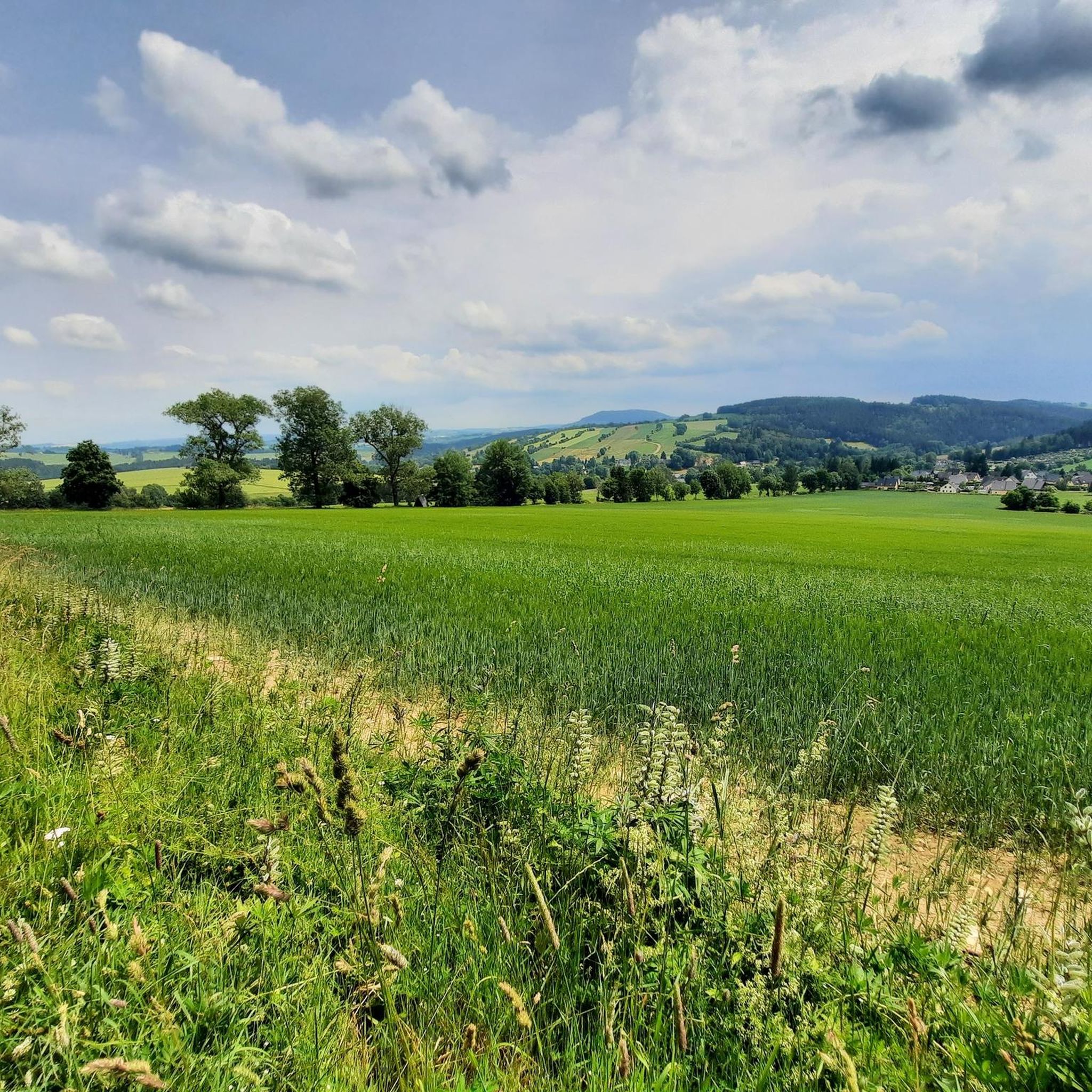
a very nice view
0
0

Mining began in Cunersdorf in the 16th century. Due to its high yields, the mine quickly gained renown. From 1536, a yield of 2,409 guilders per share was achieved within two and a quarter years. This was primarily due to a very rich silver ore vein with silver contents of up to 40%. However, yields declined again in the following years.[2] During the sinking of a pilot shaft, the year 1551 was discovered at a depth of more than 125 m.[3] The current entrance to the Dorothea adit was created in 1853.[4] Initially, only silver ores were mined; later, nickel, copper, uranium, and cobalt ores were added.[3] After the Second World War, in 1946/47, the SAG Wismut began searching for uranium in Annaberg-Buchholz, including in the Himmlisch Heer Dorothea mine. Uranium mining was short-lived and ended in 1958. Source: Wikipedia
4
0

the town of Elterlein. Beautifully decorated with fountains and flowers
1
0

... lost places, which reminds of earlier history
0
0
Frequently Asked Questions
How many road cycling routes are available around Tannenberg?
There are over 200 road cycling routes around Tannenberg, offering a wide range of options for different skill levels and preferences. These routes navigate through the varied topography of the Erzgebirgskreis region in Saxony, Germany.
What kind of terrain can I expect when road cycling in Tannenberg?
Road cycling in Tannenberg features diverse terrain, including rolling hills, dense forests, and picturesque river valleys. You can expect routes with both challenging climbs and more relaxed sections, with elevations reaching up to 731 meters at points like the Greifensteine Observation Rock. The area offers a mix of quiet roads and partially traffic-free paths.
Are there routes suitable for beginners or those looking for an easier ride?
Yes, Tannenberg offers routes for all abilities. While many routes include climbs, there are 19 easy routes and 120 moderate routes available. These often follow river valleys or less strenuous paths, providing a more relaxed experience for beginners or those seeking a gentler ride.
What are some notable landmarks or scenic points I can see along the road cycling routes?
Many routes pass by significant landmarks and scenic points. For instance, the Wolkenstein Castle – Scharfenstein Castle loop takes you past historical castles. You can also find routes near the Pöhlberg Observation Tower, Scheibenberg Observation Tower, and the Schatzenstein Triangulation Pillar, which offer expansive views of the Erzgebirge peaks.
Are there any family-friendly road cycling options in Tannenberg?
While specific 'family-friendly' designations aren't always explicit for road cycling, the region's varied terrain includes easier and moderate routes that could be suitable for families with older children or those comfortable with road cycling. Routes along river valleys, such as sections of the Between Dörfel and Schlettau – Zschopautal Cycle Path loop, often provide a more gentle experience.
Can I find circular road cycling routes around Tannenberg?
Yes, many of the road cycling routes around Tannenberg are designed as loops, allowing you to start and end at the same point. Examples include the popular Wolkenstein Castle – Scharfenstein Castle loop and the Frohnauer Hammer – Paukklausenturm loop, which offer convenient circular journeys.
What do other road cyclists say about the routes in Tannenberg?
The road cycling routes in Tannenberg are highly rated by the komoot community, with an average score of 4.5 stars from over 270 reviews. More than 3300 road cyclists have explored the area using komoot, often praising the varied terrain, scenic beauty, and the mix of quiet roads and traffic-free paths.
What is the best time of year for road cycling in Tannenberg?
The best time for road cycling in Tannenberg is generally from spring through autumn. During these seasons, the weather is more favorable, and the natural beauty of the dense forests and river valleys is at its peak. While winter cycling is possible, be prepared for colder temperatures and potential snow or ice, especially at higher elevations.
Are there options for parking or public transport access to the routes?
Many road cycling routes in Tannenberg are accessible from various starting points, including towns like Annaberg-Buchholz and Geyer, which typically offer parking facilities. For example, the Wolkenstein Castle – Scharfenstein Castle loop starts from Annaberg-Buchholz unterer Bf, suggesting public transport accessibility to the starting point.
Are there any caves or historical mining sites to explore near the cycling routes?
Yes, the region around Tannenberg has several interesting caves and historical mining sites. You might find routes that pass near highlights such as the Stülpner Cave, the Garisch-Stolln Mine Entrance, or the Herkules-Frisch-Glück Show Mine, offering a glimpse into the area's rich mining history.
How long do the road cycling routes typically take to complete?
The duration of road cycling routes in Tannenberg varies significantly depending on their length and difficulty. For instance, a moderate route like the Frohnauer Hammer – Paukklausenturm loop (31 km) can be completed in about 1 hour 26 minutes, while a longer, more difficult route such as the Wolkenstein Castle – Scharfenstein Castle loop (70.6 km) typically takes around 3 hours 21 minutes.
Are there any specific routes that follow river valleys for a more relaxed ride?
Yes, the region is characterized by picturesque river valleys. The Between Dörfel and Schlettau – Zschopautal Cycle Path loop is a great example, as it follows the scenic Zschopau valley, providing a moderate and often more relaxed cycling experience compared to routes with significant climbs.
Most popular routes around Tannenberg
Most popular attractions around Tannenberg

Get inspired with the komoot mobile app


Explore more
Browse the best Road cycling routes in other regions.
