The best road cycling routes around Tamm
4.4
(1246)
20,379
riders
15
rides
Road cycling routes around Tamm traverse a landscape characterized by rolling hills, river valleys, and historical towns. The region offers varied terrain suitable for road cyclists seeking both leisurely rides and more challenging ascents. Routes often connect picturesque villages with open countryside, providing diverse cycling experiences. This area in Württemberg is known for its blend of natural beauty and cultural landmarks, making it a destination for road cyclists.
Best road cycling routes around Tamm
- The most popular road cycling route…
Last updated: July 8, 2026
56
riders
58.6km
02:41
650m
650m
Moderate road ride. Good fitness required. Some segments of this route may be unpaved and difficult to ride.
42
riders
58.8km
02:39
600m
600m
Moderate road ride. Good fitness required. Some segments of this route may be unpaved and difficult to ride.

Sign up for free
5.0
(1)
38
riders
39.7km
01:43
330m
330m
Moderate road ride. Good fitness required. Mostly well-paved surfaces and easy to ride.
3.0
(2)
34
riders
Easy road ride. Great for any fitness level. Mostly well-paved surfaces and easy to ride.
4.5
(2)
16
riders
Moderate road ride. Good fitness required. Mostly well-paved surfaces and easy to ride.
Get access to more routes and recommendations from other explorers.
Sign up for free
Already have an account?
Our route recommendations are based on thousands of hikes, rides, and runs completed by other people on komoot.
Start today with a free account
Your next adventure awaits.
Login or Signup
Tips from the Community

The marketplace invites you to rest. Whether it's a cafe, food, or a barbecue stand at the butcher's
0
0

On the right bank of the Enz, in front of the high Wobach rock face, about 300m upstream from the railway viaduct, there has been a walkable landscape model since the 1989 State Garden Show, featuring the rocks of the South German Scarpland. On a geological journey through time, one gains insights into the course of life on Earth, the origin and structure of the Scarpland, as well as the life world of the Muschelkalk sea.
3
0
Beautiful view of the Enz Viaduct, which was built as a railway viaduct between 1851 and 1853 as part of the Württemberg Westbahn Bietigheim–Bruchsal under the direction of construction councillor Karl Etzel.
2
0
Cyclist and pedestrian bridge over the Enz river with a beautiful view of the water.
4
0

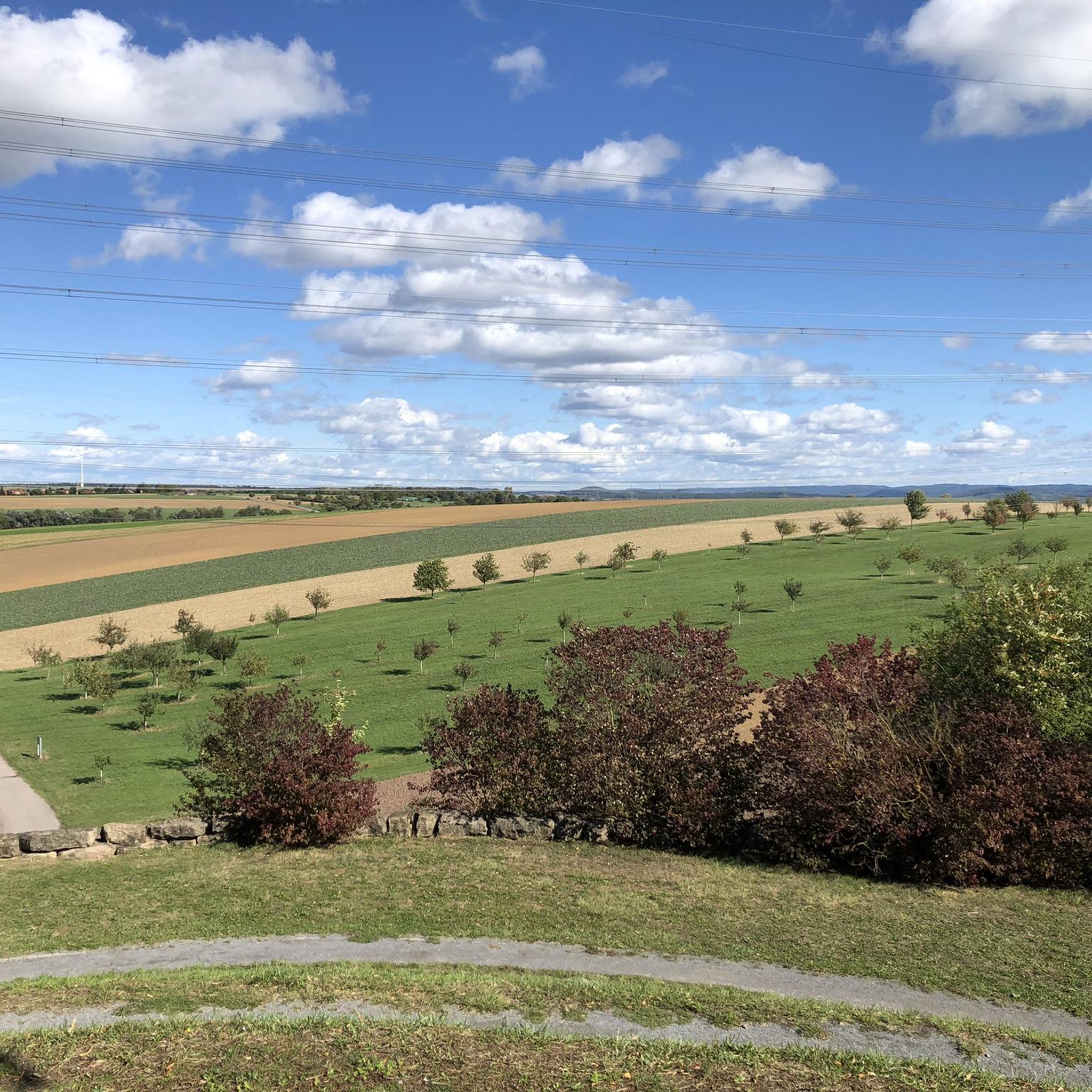
Markgröningen's highest point. A water tower visible from afar, with a few pleasant benches and tables in front, perfect for picnics.
0
0

The tower spire impressively enlivens the mighty structure. The simple half-timbering is striking due to its ornamental clarity. The half-timbering is decorated with diamond motifs and curved bands. Fachwerkstock and gable floors of today's town hall were added in 1687 on the renovated walls of a wine press. This was already documented in 1541 and in turn formed the ground floor of a previous town hall. This predecessor building from the period 1590 - 1599 burned down – just like St. John's Church – in the Thirty Years' War (1643). The predecessor building was probably erected between 1590 and 1599. A partially preserved year number on the southern round arch portal supports this assumption. A wine press with two beams to be maintained by the Duke and a house above it has been documented since 1541. A "beam" is understood to be a long, horizontal piece of wood used to turn the spindle of the grape press. The building erected around 1590 was therefore already the successor to an earlier building that existed at this location. Information about the reconstruction in 1687 is provided by a wooden plaque above the main entrance. This inscription with the letters "SHSSR" and "BIW" suggests the then mayor Jakob Schmalzried and the then mayor Jakob Wetzel. The carpenter's tools depicted below and the designation "MW" indicate the carpenter, who is no longer known by name. The number "1687" indicates the year of construction. The offices were located densely packed above the wine press. Since 1728, they were accessible via an external staircase, which replaced a steep staircase inside. This staircase was removed in 1884. Until the renovation in 1956 and 1957, six oak columns supported the ceiling of the wine press floor. They were removed, and an intermediate ceiling and a curved internal staircase were installed. This created a new intermediate floor with offices, which is externally recognizable by the newly added row of windows. Since the municipal reform in 1975, the Münchingen town hall has been the seat of the Münchingen administrative office. The citizen service, the Münchingen registry office, and the Office for Family, Public Order, and Real Estate are now housed here and in the neighboring Widdumhof. https://youtu.be/xut_zU_pfDw?si=HtF7LyMTL2zyrDrF
0
0

The Staufer stele has been relocated. It is now set off to the right of the church entrance. The Staufer stele is definitely worth a look. Since 2000, 38 Staufer steles have been erected in six European countries as part of a project unique in the world. The steles are located at sites related to the history of the Staufers, who were dukes, kings, and emperors in the High Middle Ages.
1
1
The town hall was built in 1441 as a merchant's hall, council building, and courthouse. One stands before a half-timbered building whose distinctive style is impressively evident and its inherent beauty immediately reveals itself. The building's aesthetics are complemented by a monumentality that inspires awe. Photogrammetric measurements taken in the 1960s show the building's respectable dimensions: The width in plan is between 15.46 m and 15.47 m, the length between 24.93 m and 24.96 m, and the height of the building, depending on the ridge point, measures between 26.24 m and 26.41 m.
9
0
Frequently Asked Questions
What kind of terrain can I expect when road cycling around Tamm?
Road cycling routes around Tamm are characterized by rolling hills, picturesque river valleys, and historical towns. The region offers a varied landscape, providing options for both leisurely rides and more challenging ascents through open countryside and charming villages.
Are there road cycling routes suitable for beginners or those looking for an easy ride in Tamm?
Yes, Tamm offers several easy road cycling routes. For instance, the Markgröningen Town Hall – Bridge over the Enz loop from Tamm (Württemberg) is an easy 19.9 km (12.4 miles) trail, perfect for a relaxed ride.
What are some popular moderate road cycling routes in the Tamm area?
Many cyclists enjoy the moderate routes around Tamm. A popular choice is the Hohenasperg Fortress – Marktplatz Markgröningen loop from Tamm (Württemberg), which is 57.7 km (35.9 miles) long and offers varied landscapes. Another favorite is the Tonmühle – Krummbachtal Road loop from Tamm (Württemberg), featuring scenic stretches through the Krummbachtal valley.
Are there any challenging road cycling routes for experienced riders near Tamm?
Yes, for experienced riders seeking a challenge, there are difficult routes available. The region's rolling hills provide opportunities for more demanding ascents and descents, ensuring a rewarding experience for advanced cyclists.
What kind of landmarks or viewpoints can I see along the road cycling routes in Tamm?
The routes often connect historical towns and offer views of notable landmarks. You can expect to see historical sites like the Hohenasperg Fortress. Other scenic spots include the Grüner Heiner Viewing Platform and the View from the stone bench at the Schönenberg summit, providing expansive vistas of the surrounding landscape.
What do other road cyclists say about the routes in Tamm?
The road cycling routes in Tamm are highly rated by the komoot community, with an average score of 4.5 stars from over 10 reviews. Cyclists often praise the blend of natural beauty and cultural landmarks, as well as the varied terrain suitable for different ability levels.
Are there any routes that pass through historical towns or offer cultural insights?
Absolutely. The View of Hohenhaslach – Bietigheim Old Town loop from Tamm (Württemberg) is a great example, leading through historical towns and offering views towards Hohenhaslach. Many routes connect picturesque villages, allowing you to experience the region's cultural heritage.
Where can I find parking for road cycling routes near Tamm?
While specific parking locations for each route are best checked on individual tour pages, many routes around Tamm start from or pass through towns and villages where public parking is typically available. Look for parking options in Tamm itself or in the starting points of the routes you choose, such as Markgröningen or Bietigheim.
Is public transport available to reach road cycling routes in Tamm, especially with bikes?
Tamm and the surrounding Ludwigsburg area are generally well-connected by public transport. For specific information on taking bikes on public transport (trains, buses), it's advisable to check the local transport authority's website for regulations and schedules, as policies can vary.
What is the best time of year for road cycling in Tamm?
The region's rolling hills and river valleys are enjoyable throughout much of the year. Spring and autumn offer pleasant temperatures and beautiful scenery, while summer provides longer daylight hours. Winter cycling is possible, but conditions may vary, so checking local weather forecasts is always recommended.
Are there any family-friendly road cycling options around Tamm?
While many routes feature rolling hills, there are easier sections and paths that can be suitable for families. Look for routes described as 'easy' in the komoot guide, which typically have less elevation gain and are shorter in distance, making them more accessible for family outings.
Can I find cafes or pubs near the road cycling routes in Tamm?
Yes, as the routes often connect or pass through charming towns and villages, you'll find opportunities to stop at local cafes and pubs. These establishments are great for a break, refreshments, or a meal, allowing you to experience local hospitality during your ride.
Most popular routes around Tamm
Most popular attractions around Tamm

Get inspired with the komoot mobile app


Explore more
Browse the best Road cycling routes in other regions.
