The best walks and hikes around Frohnleiten
4.7
(635)
3,815
hikers
93
hikes
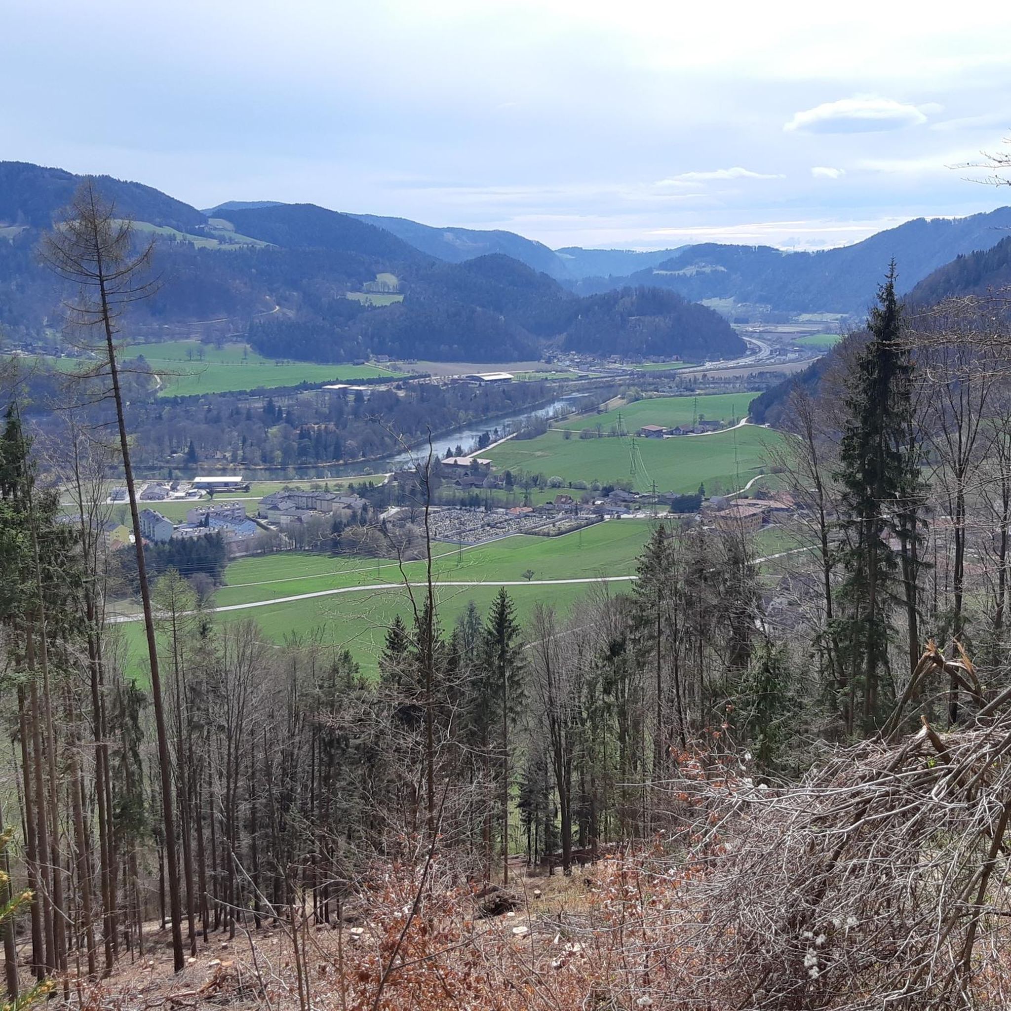
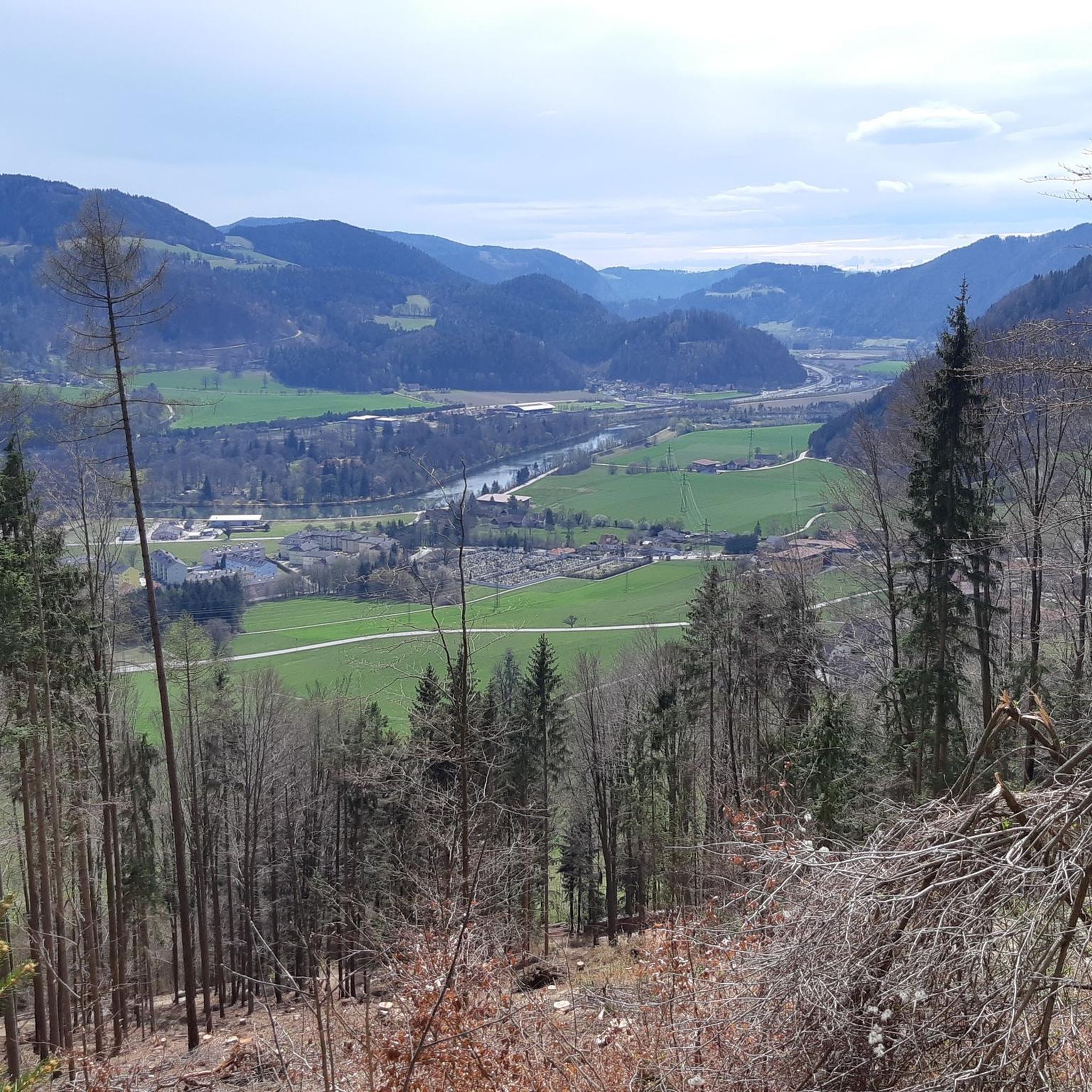
Hiking around Frohnleiten offers diverse landscapes, situated on a loop of the Mur River within the Graz Upland. The region is characterized by extensive forests, rolling hills, and alpine pastures, providing a variety of terrains for outdoor activities. Elevated viewpoints offer panoramic views of the Mur Valley and surrounding peaks.
Best hiking trails around Frohnleiten
- The most popular hiking route is Haneggkogel Summit – Beautiful view of the Mur Valley loop from Frohnleiten, a 6.1 miles (9.8 km) trail…
Last updated: June 27, 2026
4.8
(30)
202
hikers
Moderate hike. Good fitness required. Mostly accessible paths. Sure-footedness required.
4.6
(23)
169
hikers
10.1km
04:03
750m
750m
Hard hike. Good fitness required. Sure-footedness, sturdy shoes and alpine experience required.

Sign up for free
4.7
(14)
121
hikers
Moderate hike. Good fitness required. Mostly accessible paths. Sure-footedness required.
4.7
(15)
105
hikers
13.4km
04:44
740m
740m
Hard hike. Good fitness required. Sure-footedness, sturdy shoes and alpine experience required.
4.9
(40)
109
hikers
Moderate hike. Good fitness required. Easily-accessible paths. Suitable for all skill levels.
Get access to more routes and recommendations from other explorers.
Sign up for free
Already have an account?
Our route recommendations are based on thousands of hikes, rides, and runs completed by other people on komoot.
Start today with a free account
Your next adventure awaits.
Login or Signup
Popular around Frohnleiten
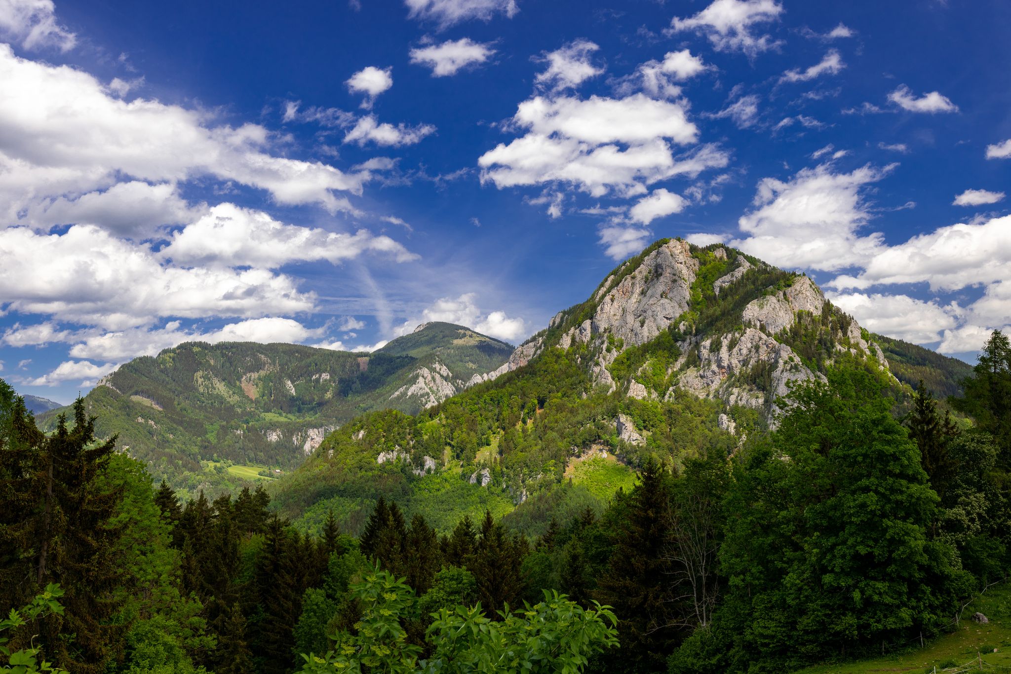
Discover Austria’s green heart – hike in the Graz adventure region
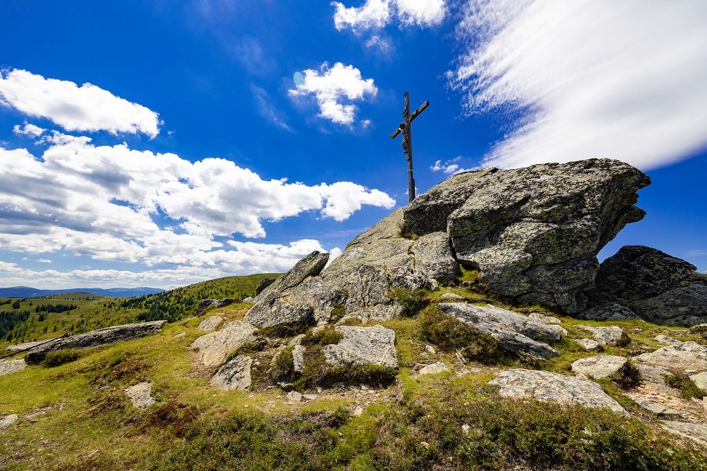
From the city to the countryside in ten minutes – hiking around Graz
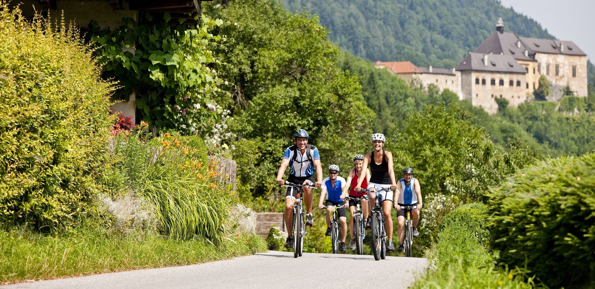
Have fun on two wheels – cycling in Austria’s Graz Adventure Region
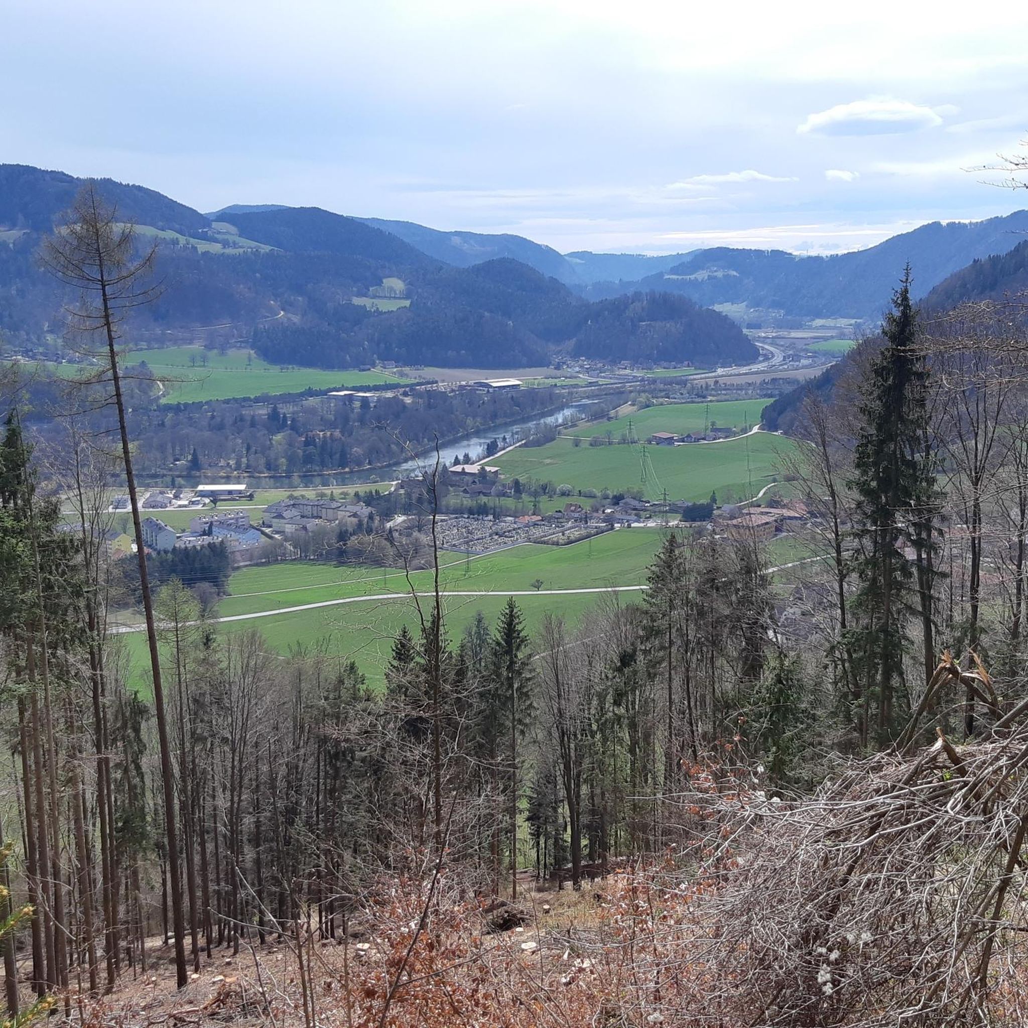
Cycling around Frohnleiten
Road Cycling Routes around Frohnleiten
MTB Trails around Frohnleiten
Running Trails around Frohnleiten

Mountain Hikes around Frohnleiten

Gravel biking around Frohnleiten
Other adventures around Frohnleiten

Tips from the Community

Great main square in the middle of the old town
3
0
Super great old town with a beautiful main square
3
0
Artfully decorated shutters, beautiful to look at
3
0

The Trentlokal (https://trend-lokal.at/) offers a very good overnight stay with excellent rooms and breakfast. It's just a 5-minute walk from the center.
0
0

Today (August 15), the Catholic Church celebrates an event that has the status of a solemnity in the liturgical calendar: the Assumption of Mary into Heaven, popularly known as the "Assumption of Mary." The daily prayer in the missal reads: + Almighty and eternal God, you preserved the Blessed Virgin Mary, who bore us Christ, from all sin and raised her body and soul to the glory of heaven. Grant that we may look to this sign of hope and consolation and remain on the path that leads to your glory.
0
0

The patronage of this church, "Maria (or in another spelling:) Assumption of Mary," refers to one of the many memorial days or feast days in honor of the Mother of God Mary. It goes back to the feast of her bodily assumption into heaven, which the (Catholic) Church celebrates annually on August 15th. In the Orthodox churches, the feast is called "Dormition of Mary." In many rural areas, it used to be customary for the population to collect bundles of herbs on this day and to bless them in the festive service. This custom has been preserved in part and has sometimes been revived.
0
0

Frohnleiten is always worth a trip!
0
0
Frequently Asked Questions
How many hiking trails are available around Frohnleiten?
Frohnleiten boasts a comprehensive network of nearly 100 hiking trails, catering to a wide range of preferences and skill levels. You'll find everything from leisurely strolls to challenging mountain ascents, with 29 easy, 52 moderate, and 14 difficult routes.
What kind of terrain can I expect on hikes in Frohnleiten?
The terrain around Frohnleiten is incredibly diverse, shaped by its location on the Mur River and within the Graz Upland. You can expect extensive forests, rolling hills, and picturesque alpine pastures. Some routes offer gentle paths along the river, while others involve significant elevation gains to prominent summits, occasionally featuring secured paths over rocky sections.
Are there any family-friendly hiking routes in Frohnleiten?
Yes, Frohnleiten offers several options suitable for families. While specific family-designated routes aren't listed, the region's 29 easy trails provide excellent opportunities for leisurely walks. The Murpromenade, for instance, offers a gentle path along the Mur River, perfect for a relaxed family outing. Look for routes with minimal elevation gain and shorter distances for the most family-friendly experience.
Which trails offer the best panoramic views of the Mur Valley?
For stunning views of the Mur Valley, consider the Haneggkogel Summit – Beautiful view of the Mur Valley loop from Frohnleiten. This moderate route leads to the Haneggkogel, a local peak known for its beautiful vistas and a summit cross. The Gschwendtberg also offers views of the surrounding Graz Upland hills.
Are there any circular hiking routes around Frohnleiten?
Yes, many of the trails around Frohnleiten are designed as circular routes, allowing you to start and end in the same location. For example, the Juliuswarte – Gschwendtberg Summit Cross loop from Frohnleiten is a popular moderate circular hike. The region also features seven thematically designed circular routes, offering varied experiences.
What are some notable natural features or landmarks I can see while hiking?
Frohnleiten's hiking trails often lead past significant natural features and offer access to impressive landmarks. You can explore the Mur River and its alluvial forests, or ascend to various summits like Mugel Summit, Heulantsch Summit, or Hochlantsch Summit, which provide expansive views. The Schöckl summit cross is another prominent landmark in the wider area.
What do other hikers say about the trails in Frohnleiten?
The hiking trails in Frohnleiten are highly regarded by the komoot community, holding an impressive average rating of 4.7 stars from over 500 reviews. Hikers frequently praise the diverse landscapes, well-maintained paths, and the rewarding panoramic views from various summits.
Are there any challenging hikes for experienced hikers?
Absolutely. For experienced hikers seeking a challenge, Frohnleiten offers 14 difficult routes with significant elevation gains. Consider the Schitfall (1,221 m) – Kreuzkogl Summit loop from Laufnitzdorf, which includes ascents to two prominent summits. Another demanding option is the Kreuzkogl Summit – Schitfall (1,221 m) loop from Röthelstein, known for its considerable elevation changes.
Can I reach hiking trailheads in Frohnleiten using public transport?
Frohnleiten is well-connected, and its town center serves as a starting point for many hikes, including those that ascend directly into the surrounding hills. While specific public transport links to every trailhead are not detailed, the town's accessibility suggests that many routes are reachable, especially those starting within or close to the town.
Are there any long-distance hiking options that pass through Frohnleiten?
Yes, Frohnleiten is part of larger hiking networks. Notably, Stage 2 of the Grazer Bergland Hiking Trail begins in Frohnleiten. This trail leads through the town center, past historical sites like St. George's Church, and then ascends through dense woodlands towards the Haneggkogel, offering a longer-distance hiking experience.
What is the best time of year to go hiking in Frohnleiten?
Frohnleiten is an excellent hiking destination for much of the year. Spring and autumn offer pleasant temperatures and vibrant scenery, with blooming flowers or colorful foliage. Summer is also popular, though higher elevations provide cooler air. Winter hiking is possible on lower, well-maintained paths, but some higher routes may be inaccessible due to snow.
Are there any trails that lead to alpine huts or places to rest?
Yes, some routes in the Frohnleiten area lead to alpine huts. For instance, the Plotscherbauer Alpine Hut – Fensteralm Summit (1,622 m) loop from Thomaskogel is a longer trail that includes an alpine hut, providing a perfect spot for a break and refreshment during your hike.
Most popular routes around Frohnleiten
Most popular attractions around Frohnleiten

Get inspired with the komoot mobile app


Explore more
Browse the best Hikes in other regions.
