The best road cycling routes around Coreglia Antelminelli
4.3
(113)
2,856
riders
61
rides
Road cycling routes around Coreglia Antelminelli navigate a landscape characterized by significant elevation changes, indicative of its hilly and mountainous terrain. The region features river valleys, historic towns, and winding roads that challenge cyclists with sustained climbs and descents. This area offers a diverse environment for road cycling, combining natural scenery with cultural landmarks.
Best road cycling routes around Coreglia Antelminelli
- The most popular road cycling route is Scenic view of Lake Massaciuccoli – Pieve di Elici loop from Bagni…
Last updated: October 12, 2026
4.0
(2)
131
riders
Moderate road ride. Good fitness required. Some segments of this route may be unpaved and difficult to ride.
5.0
(4)
114
riders
98.9km
04:49
1,420m
1,420m
Hard road ride. Very good fitness required. Mostly well-paved surfaces and easy to ride.

106
riders
74.6km
04:31
1,640m
1,640m
Hard road ride. Very good fitness required. Mostly well-paved surfaces and easy to ride.
4.2
(9)
87
riders
34.9km
01:38
390m
390m
Moderate road ride. Good fitness required. Mostly well-paved surfaces and easy to ride.
5.0
(2)
65
riders
68.9km
03:19
950m
950m
Hard road ride. Very good fitness required. Mostly well-paved surfaces and easy to ride.
Get access to more routes and recommendations from other explorers.
Already have an account?
Our route recommendations are based on thousands of hikes, rides, and runs completed by other people on komoot.
Start today with a free account
Your next adventure awaits.
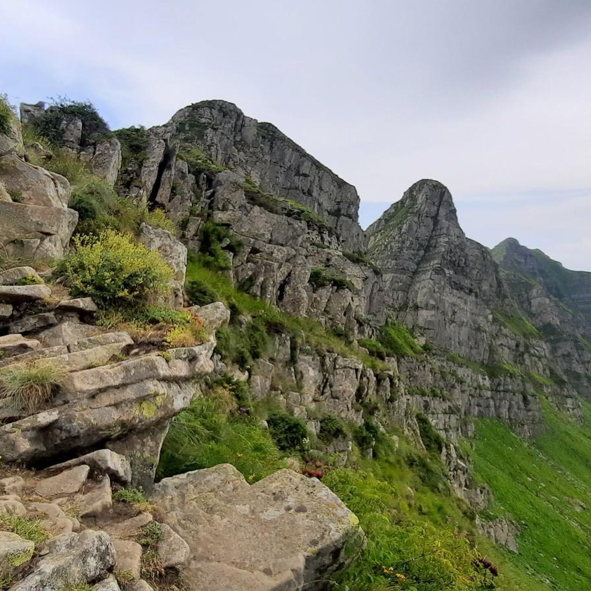
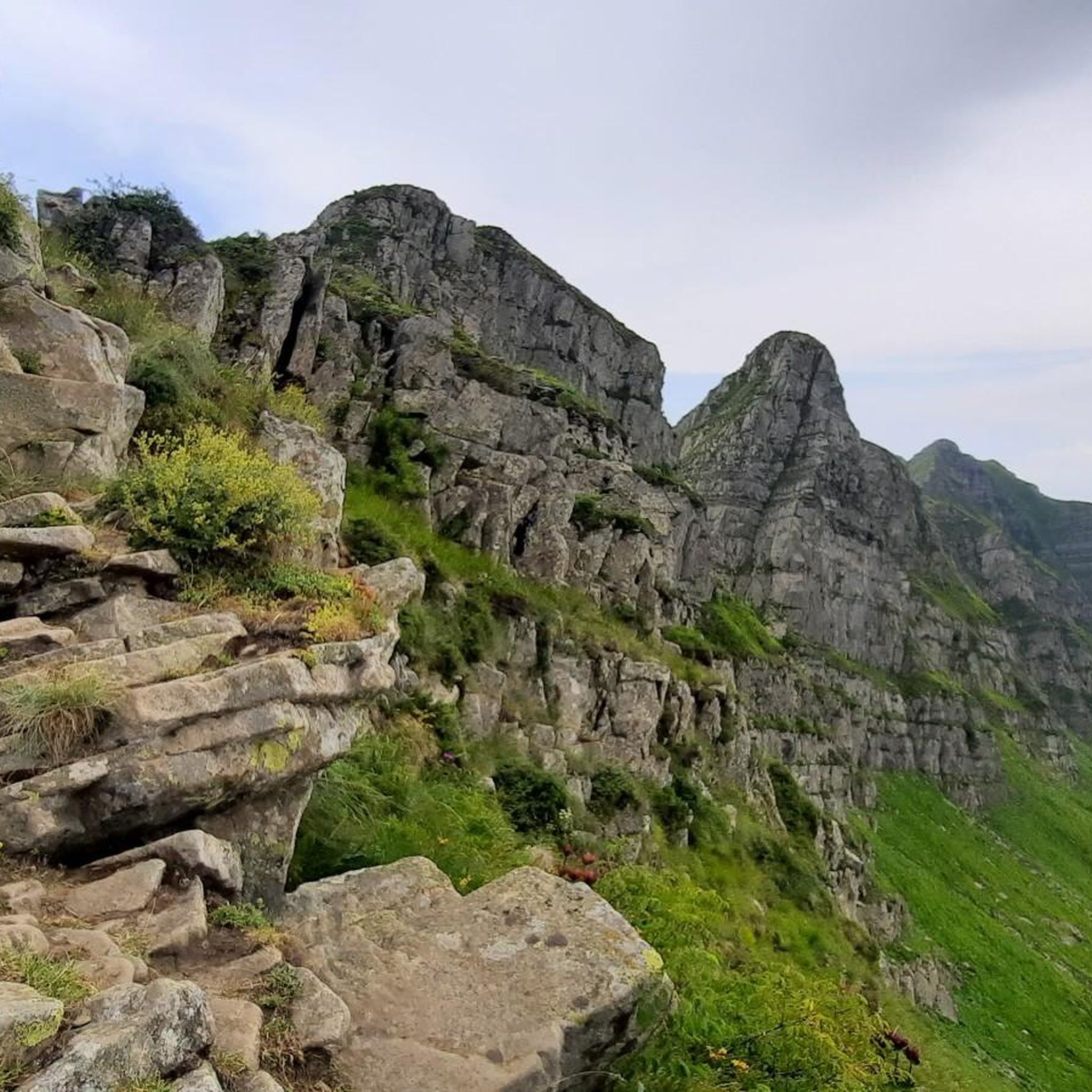
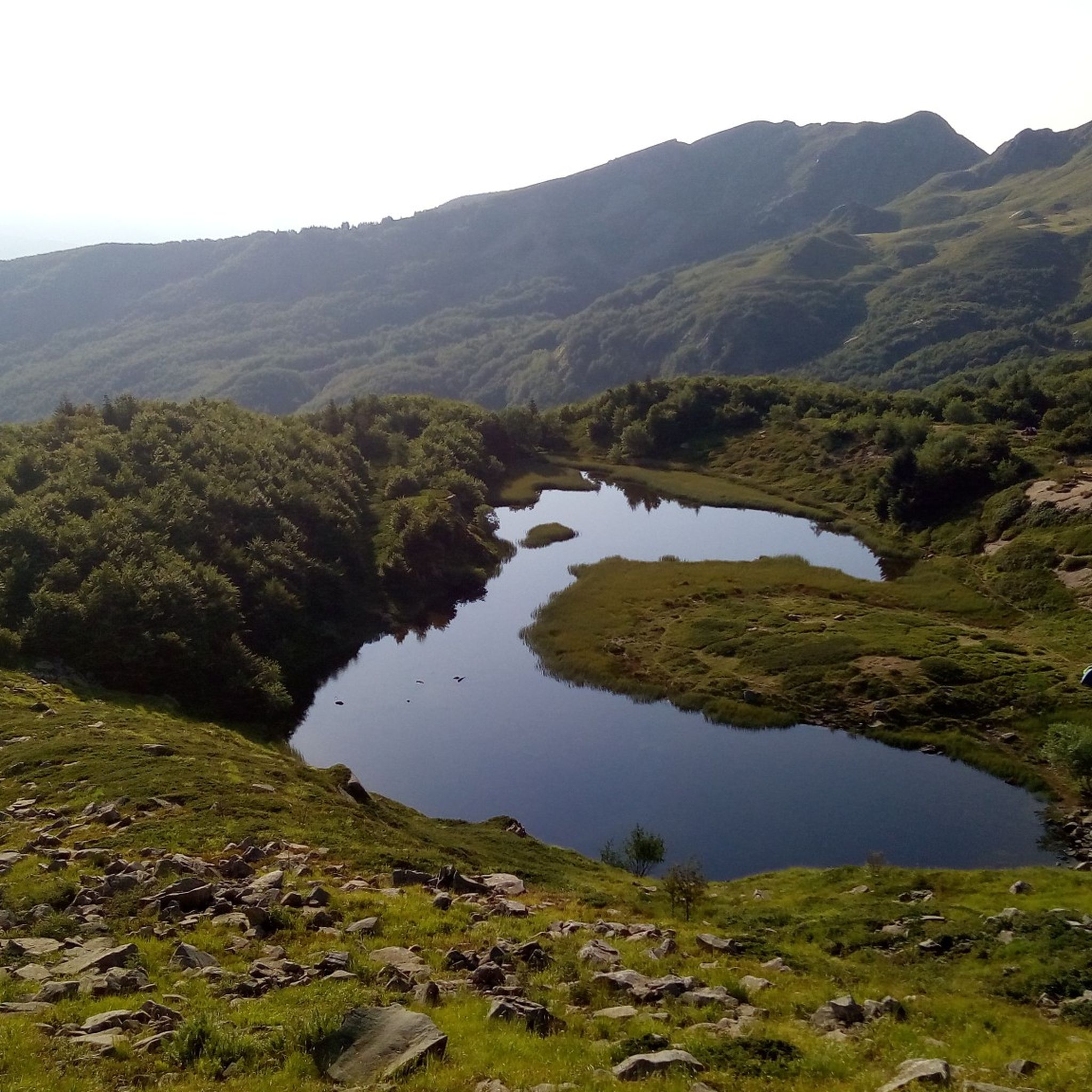
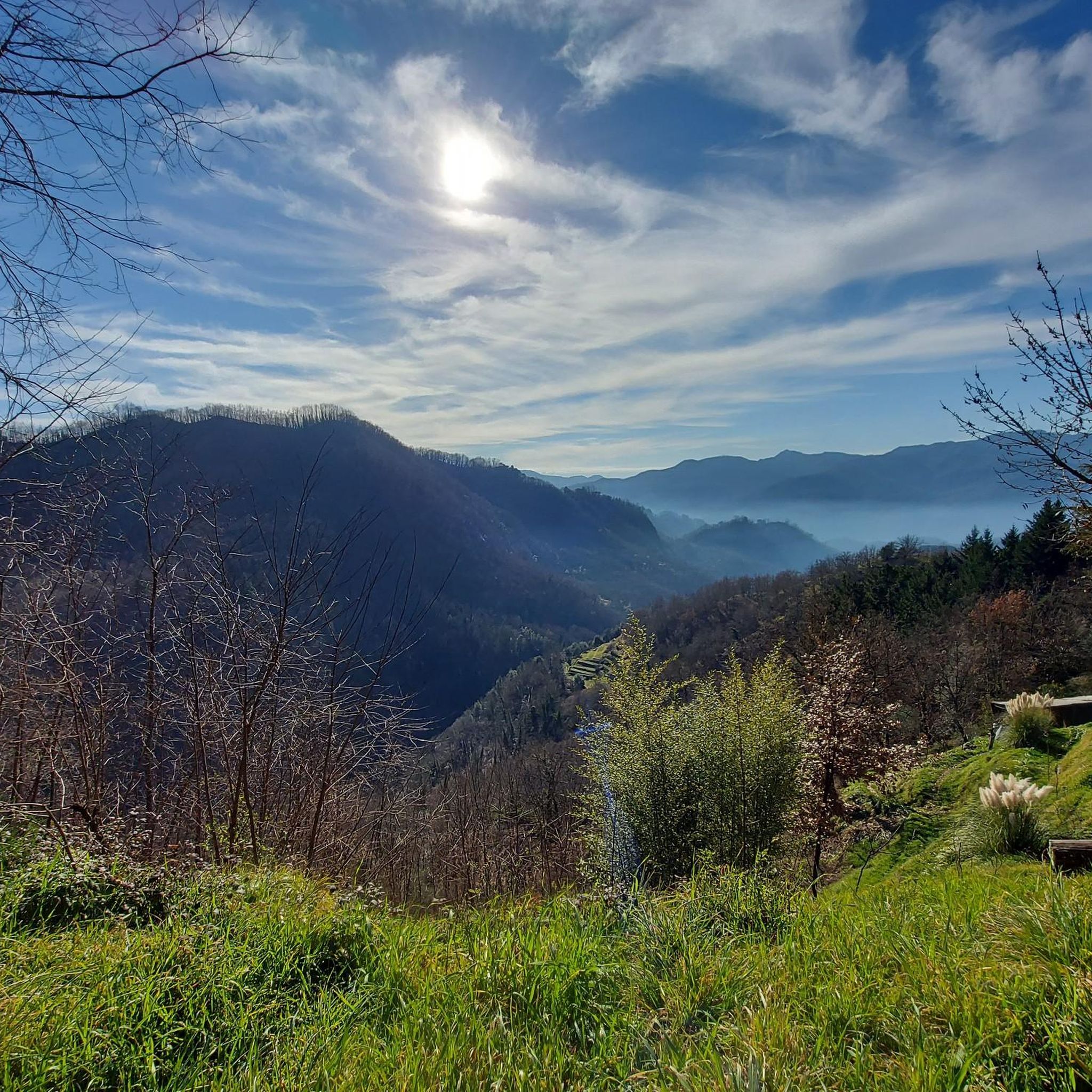


Tips from the Community

great view with more time to visit the town too
1
0

The lake of Gramolazzo is a lake in the Apuan Alps located near the homonymous village in the municipality of Minucciano. Of artificial origin, it was created in the second half of the 1900s, together with the lake of Vagli by SELT Valdarno for the hydroelectric use of the Serchio river and its tributaries. The lake, which has a surface area of one square kilometer and a volume of 3.8 million cubic meters, has both the Serchio di Gramolazzo as its inflow and outflow, one of the two branches that, joining near Piazza al Serchio, form the Tuscan river. Another important stream that flows into the lake is the Acqua Bianca stream, which coming from Mount Pisanino crosses the village of Gorfigliano. A large part of the water, however, is fed through a channel on the left bank, near the dam, which with a maximum flow rate of 20 cubic meters per second discharges the waters captured from the Serchio into the Sillano valley. The waters of the lake of Gramolazzo feed the Fabbriche power plant which in turn discharges them into the lake of Vagli.
0
0

Great view, and lovely road for a few kilometres before the lake!!
1
0

The place is cool and quiet during the week. Canoe rentals are available for lake excursions.
0
0

Named after General Carlo Alberto Dalla Chiesa, the large bridge over the Serchio, Strada Statale 12 del Brennero var. B connects the right bank (San Lorenzo di Moriano, San Cassiano di Moriano) with the left bank, the one that overlooks Marlia and the hills famous for the numerous noble villas. Be careful at the roundabout on the Marlia side, very large and busy.
0
0

road suitable for large groups and high speed! towards Lucca it is a descent
0
0

Liturgical place kept in perfect conditions.
13
0
A Catholic building kept in excellent condition.
11
0
Frequently Asked Questions
How many road cycling routes are available around Coreglia Antelminelli?
There are over 60 road cycling routes in the Coreglia Antelminelli area. These routes cater to various skill levels, with options ranging from moderate to difficult rides.
What is the general difficulty level for road cycling in Coreglia Antelminelli?
Road cycling around Coreglia Antelminelli is characterized by significant elevation changes, making many routes challenging. While there are a few easier options, the majority of the 62 routes are classified as moderate (27 routes) or difficult (31 routes), offering sustained climbs and descents.
Are there any beginner-friendly road cycling routes in the area?
While the region is known for its challenging terrain, there are a few routes suitable for beginners. Out of the 62 available routes, 4 are classified as easy. These routes typically feature less elevation gain and shorter distances, providing a good introduction to road cycling in the area.
What are some of the more challenging road cycling routes for experienced riders?
Experienced riders seeking a challenge will find plenty of options. A notable difficult route is the Fornoli Chain Bridge – Ponte delle Catene di Fornoli loop from Bagni di Lucca, which covers 46.4 miles (74.7 km) with significant elevation changes. Another challenging option is the Old Bridge of Barga – Pieve di Santa Maria a Loppia loop from Coreglia Antelminelli, a 32.7 miles (52.7 km) trail through varied terrain.
Are there any long-distance road cycling routes in Coreglia Antelminelli?
Yes, the region offers several long-distance routes. The Scenic view of Lake Massaciuccoli – Pieve di Elici loop from Bagni di Lucca is a popular choice, spanning 55.7 miles (89.6 km). Another substantial route is the View of Cutigliano – Fornoli Chain Bridge loop from Ghivizzano-Coreglia, which is 42.9 miles (69.0 km) long.
What kind of scenery can I expect on road cycling routes around Coreglia Antelminelli?
The routes offer diverse scenery, including river valleys, historic towns, and winding roads through hilly and mountainous terrain. You can expect views of natural landscapes and cultural landmarks. For instance, the Scenic view of Lake Massaciuccoli – Pieve di Elici loop from Bagni di Lucca provides beautiful vistas including Lake Massaciuccoli.
Are there any notable landmarks or attractions along the road cycling routes?
Yes, the region is rich in natural and historical points of interest. You might encounter mountain passes such as Boccaia Pass or Giovo Pass. Additionally, there are several beautiful waterfalls like Sassorso Waterfall and Bandita Waterfall that can be explored nearby.
What is the best time of year for road cycling in Coreglia Antelminelli?
Given the region's hilly and mountainous characteristics, spring and autumn generally offer the most pleasant conditions for road cycling, with milder temperatures. Summer can be warm, especially on climbs, but is still popular. Winter may present challenges due to colder weather and potential for snow at higher elevations.
Are there any circular road cycling routes available?
Many of the road cycling routes around Coreglia Antelminelli are designed as loops, allowing you to start and finish in the same location. Examples include the Castelnuovo di Garfagnana loop from Fornaci di Barga and the Fornoli Chain Bridge – Ponte delle Catene di Fornoli loop from Bagni di Lucca.
What do other road cyclists enjoy most about road cycling in Coreglia Antelminelli?
The road cycling routes in Coreglia Antelminelli are highly rated by the komoot community, with an average score of 4.2 stars from over 100 reviews. Cyclists often praise the diverse terrain, combining natural beauty with cultural landmarks, and the challenging yet rewarding climbs and descents.
Are there family-friendly road cycling options in Coreglia Antelminelli?
While many routes feature significant elevation changes, there are a few easier routes that might be more suitable for families or those looking for a less strenuous ride. It's advisable to check the difficulty grade and elevation profile of specific routes, such as the 4 easy routes available, to ensure they match your family's skill level.
Are there road cycling routes that pass by cafes or places to stop for refreshments?
Many routes in the Coreglia Antelminelli region pass through or near historic towns and villages. These settlements often offer opportunities to stop for refreshments at local cafes or restaurants. Planning your route with komoot allows you to identify such points of interest along your chosen path.
Most popular routes around Coreglia Antelminelli
Most popular attractions around Coreglia Antelminelli

Get inspired with the komoot mobile app


Explore more
Browse the best Road cycling routes in other regions.
