The best cycling routes around Tagmersheim
4.6
(2802)
12,480
riders
312
rides
Touring cycling around Tagmersheim features routes that traverse varied terrain, including gentle valleys and areas with notable geological formations. The region is characterized by its mix of open landscapes and natural features like the Hölzerne Klinge rock arch and the Gailach Dry Valley. Elevation changes are present, with some routes featuring moderate climbs, offering diverse experiences for touring cyclists. The area provides a network of trails suitable for exploring the natural and historical points of interest.
Best touring cycling routes around Tagmersheim
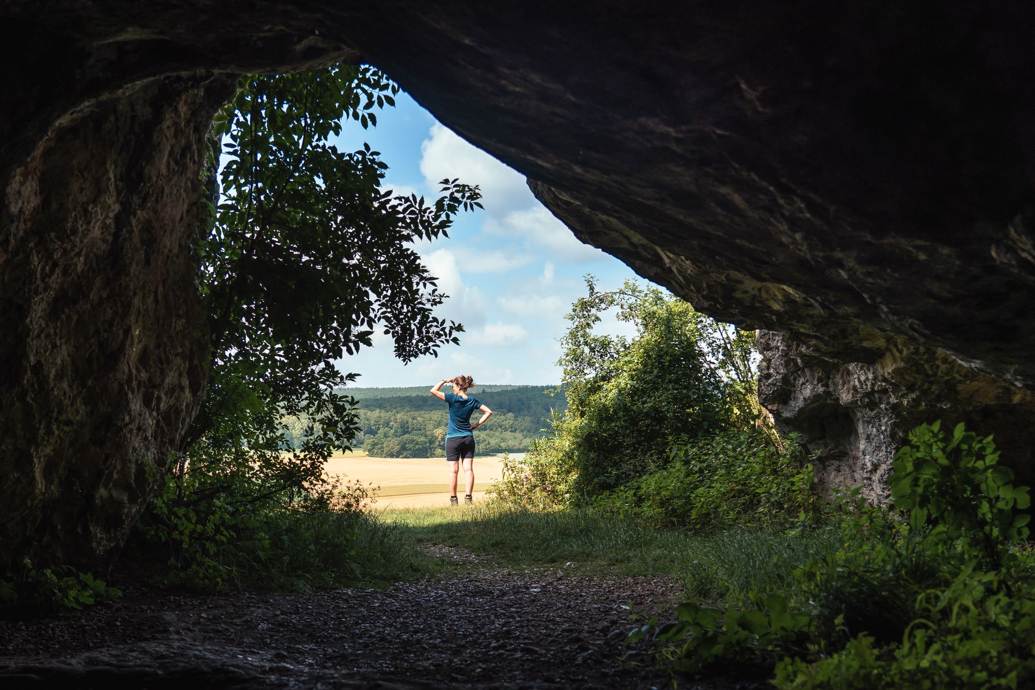
- The most popular touring cycling route is Hölzerne Klinge rock arch – Dollnstein Old Town loop from Blossenau, a 26.2 miles (42.2 km) trail that takes 2 hours 47 minutes to complete. This route explores a rock arch formation and passes through the historic Dollnstein Old Town.
- Another top favourite among local touring cyclists is Three-Country Point Röglinger Valley – Gailach Dry Valley loop from Monheim, a moderate 21.5 miles (34.6 km) path. This trail offers views of the Röglinger Valley and the unique Gailach Dry Valley landscape.
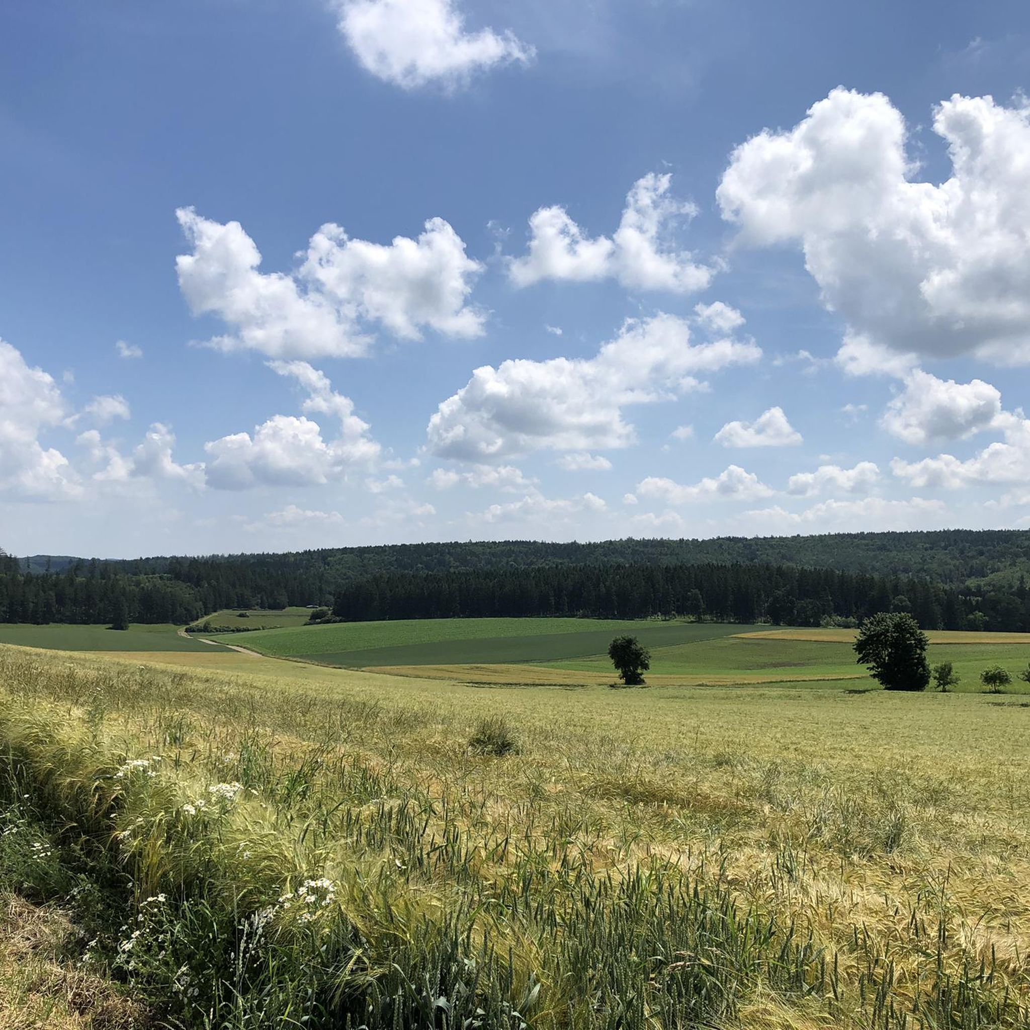
- Local touring cyclists also love the Eis Café Cortina loop from Rögling, a 10.2 miles (16.4 km) trail leading through the local area around Rögling, often completed in about 1 hour 3 minutes.
- Touring cycling around Tagmersheim is defined by its valleys, dry riverbeds, and historical town centers. The network offers options for different ability levels, from easy loops to more moderate routes with greater elevation gain.
- The routes in Tagmersheim are highly rated by the komoot community with an average score of 4.6 stars from over 2800 reviews. More than 13000 touring cyclists have used komoot to explore Tagmersheim's varied terrain.
Last updated: August 15, 2026
4.8
(31)
79
riders
42.2km
02:45
280m
280m
Moderate bike ride. Good fitness required. Mostly paved surfaces. Suitable for all skill levels.
5.0
(5)
28
riders
16.4km
01:03
120m
120m
Easy bike ride. Great for any fitness level. Mostly paved surfaces. Suitable for all skill levels.

Sign up for free
3.5
(4)
16
riders
44.8km
02:49
450m
450m
Moderate bike ride. Good fitness required. Mostly paved surfaces. Suitable for all skill levels.
4.8
(11)
19
riders
Easy bike ride. Great for any fitness level. Mostly paved surfaces. Suitable for all skill levels.
5.0
(6)
17
riders
18.5km
01:20
190m
190m
Moderate bike ride. Good fitness required. Mostly paved surfaces. Suitable for all skill levels.
Get access to more routes and recommendations from other explorers.
Sign up for free
Already have an account?
Our route recommendations are based on thousands of hikes, rides, and runs completed by other people on komoot.
Start today with a free account
Your next adventure awaits.
Login or Signup
Other adventures around Tagmersheim

Tips from the Community

Very beautifully laid out meadow church in Pappenheim
0
0
The historical border of the town of Pappenheim ran directly along the Altmühl
0
0

It is wonderful to cycle here.
1
0
Across the fields, you look out over the slopes that line the Wellheimer Trockental valley on the right and left
0
0
The bridge from 1860 fits in very nicely with the overall picture, with the Kastenhof lying behind it
0
0
Historic building, which now houses the municipal administration. Previously, the building housed the "Pfleger" (steward/administrator), who managed the market town of Mörnsheim.
0
0
Imposing rock formation directly next to the path.
1
0

Monheim Castle appears rather unassuming, but behind its history lies a serious scandal. The building was expanded in its current form in 1806 under the regional judge Count Johann Adam von Reisach. He had the left wing of the castle extended and added a private courtroom. This renovation was primarily driven by a conspicuous desire for self-promotion. The project is alleged to have been illegally financed with proceeds from court cases.
0
0
Frequently Asked Questions
How many touring cycling routes are available around Tagmersheim?
There are over 300 touring cycling routes in the Tagmersheim region. This includes approximately 75 easy routes, 175 moderate routes, and 60 more challenging options, ensuring a diverse selection for all skill levels.
Are there any easy touring cycling routes suitable for beginners or families?
Yes, Tagmersheim offers numerous easy touring cycling routes. A good option for a relaxed ride is the Eis Café Cortina loop from Rögling, which is 10.2 miles (16.4 km) long and generally takes just over an hour to complete. This route is relatively flat and suitable for a leisurely pace.
What are some of the longer touring cycling routes in the area?
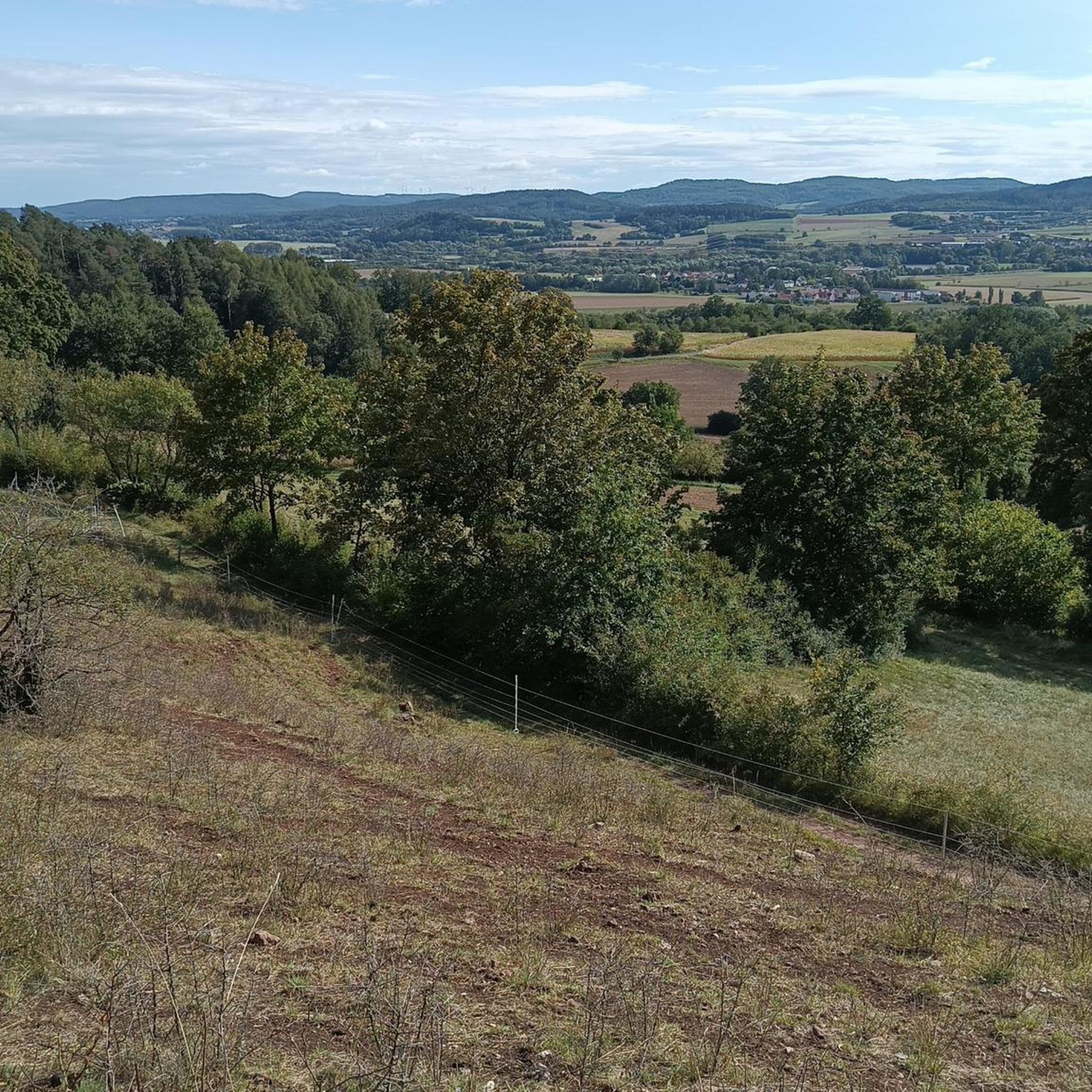
For longer rides, consider routes like the Pappenheim Castle – Pappenheim loop from Mörnsheim, which spans 27.8 miles (44.8 km) and features moderate elevation changes. Another option is the Hölzerne Klinge rock arch – Dollnstein Old Town loop from Blossenau, covering 26.2 miles (42.2 km).
Are there any circular touring cycling routes around Tagmersheim?
Many of the touring cycling routes in Tagmersheim are designed as loops. Examples include the Three-Country Point Röglinger Valley – Gailach Dry Valley loop from Monheim, which offers scenic views, and the Gailach Dry Valley – Stone Bridge Over the Gailach loop from Rögling, exploring unique geological features.
What kind of natural attractions or landmarks can I see along the touring cycling routes?
The region is known for its natural and historical points of interest. You can cycle past the unique Hölzerne Klinge rock arch, explore the Gailach Dry Valley, or visit the historic Dollnstein Old Town. There are also several lakes and ponds in the vicinity, such as Groppenhofer Pond and Kreut Pond and Chapel, which offer pleasant stops.
Are there any places to stop for refreshments or a break along the routes?
Yes, many routes pass through or near villages and towns where you can find cafes and pubs. For instance, the Eis Café Cortina loop from Rögling is named after a local establishment, suggesting a convenient stop. Additionally, you might find huts like Naturfreundehaus Konstein or Aicha Climbing Hut that offer refreshments or shelter.
What is the best time of year for touring cycling in Tagmersheim?
The spring, summer, and early autumn months generally offer the most pleasant conditions for touring cycling in Tagmersheim, with milder weather and lush landscapes. However, the region's varied terrain can be enjoyed throughout much of the year, depending on weather conditions.
What do other touring cyclists say about the routes in Tagmersheim?
The touring cycling routes around Tagmersheim are highly regarded by the komoot community, with an average rating of 4.6 stars from over 2800 reviews. Cyclists often praise the region's diverse landscapes, from gentle valleys to unique geological formations, and the well-maintained network of trails.
Are there any challenging touring cycling routes for experienced riders?
While the region is known for its moderate terrain, some routes do feature more significant elevation gains. For example, the Pappenheim Castle – Pappenheim loop from Mörnsheim includes over 440 meters of ascent, offering a more demanding ride for those seeking a challenge.
Is it possible to access the touring cycling routes using public transport?
While specific public transport connections directly to every trailhead may vary, many towns and villages in the Tagmersheim region are accessible by local bus services or regional trains. It's advisable to check local public transport schedules for the most convenient access points to your chosen route.
Where can I find parking for touring cycling routes in Tagmersheim?
Parking is generally available in the towns and villages that serve as starting points for the touring cycling routes. Look for designated parking areas in places like Blossenau, Monheim, Rögling, or Mörnsheim, depending on your chosen route. Some trailheads may also have small parking lots.
Most popular routes around Tagmersheim
Most popular attractions around Tagmersheim

Get inspired with the komoot mobile app


Explore more
Browse the best Cycling routes in other regions.
