The best road cycling routes around Täferrot
4.5
(617)
7,879
riders
244
rides
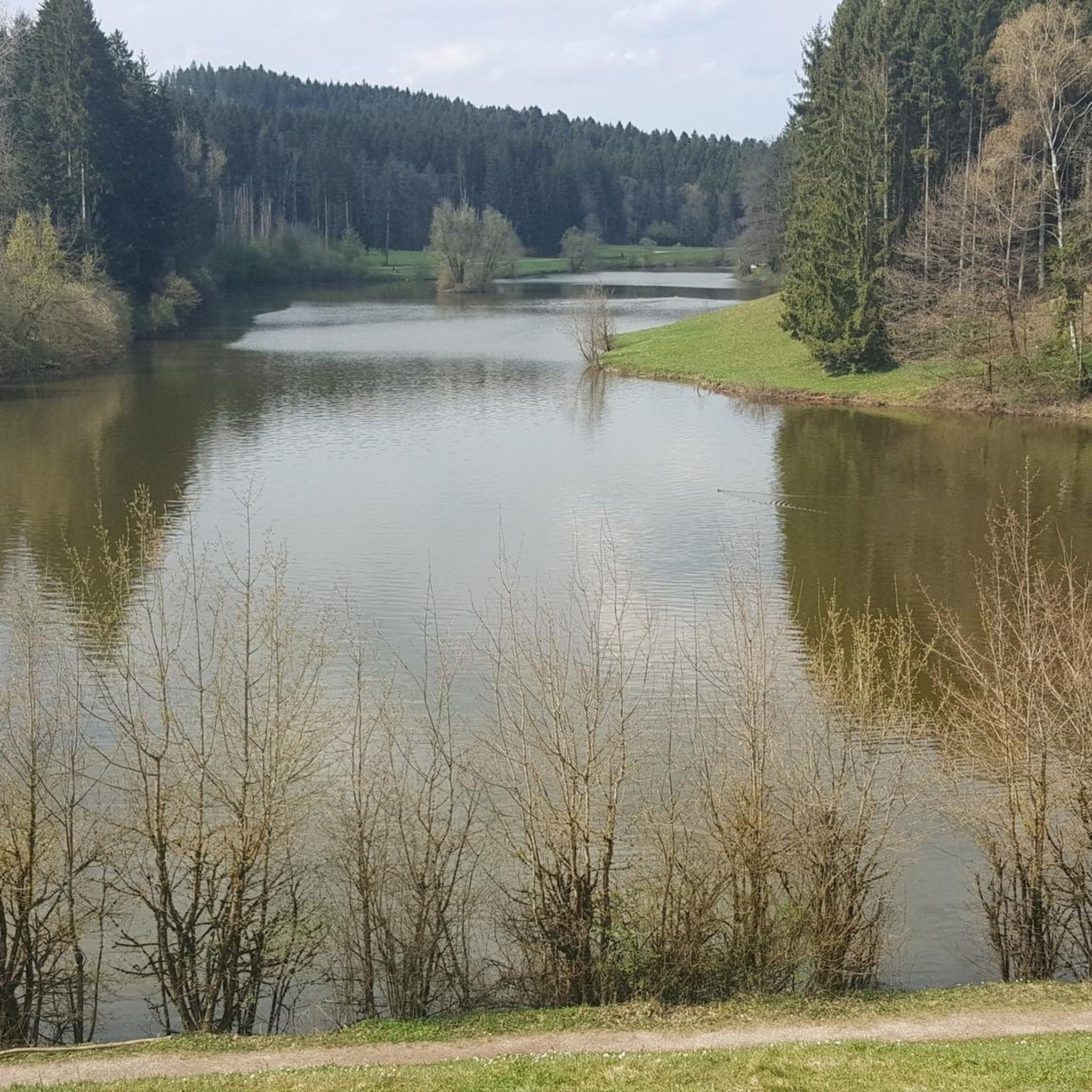
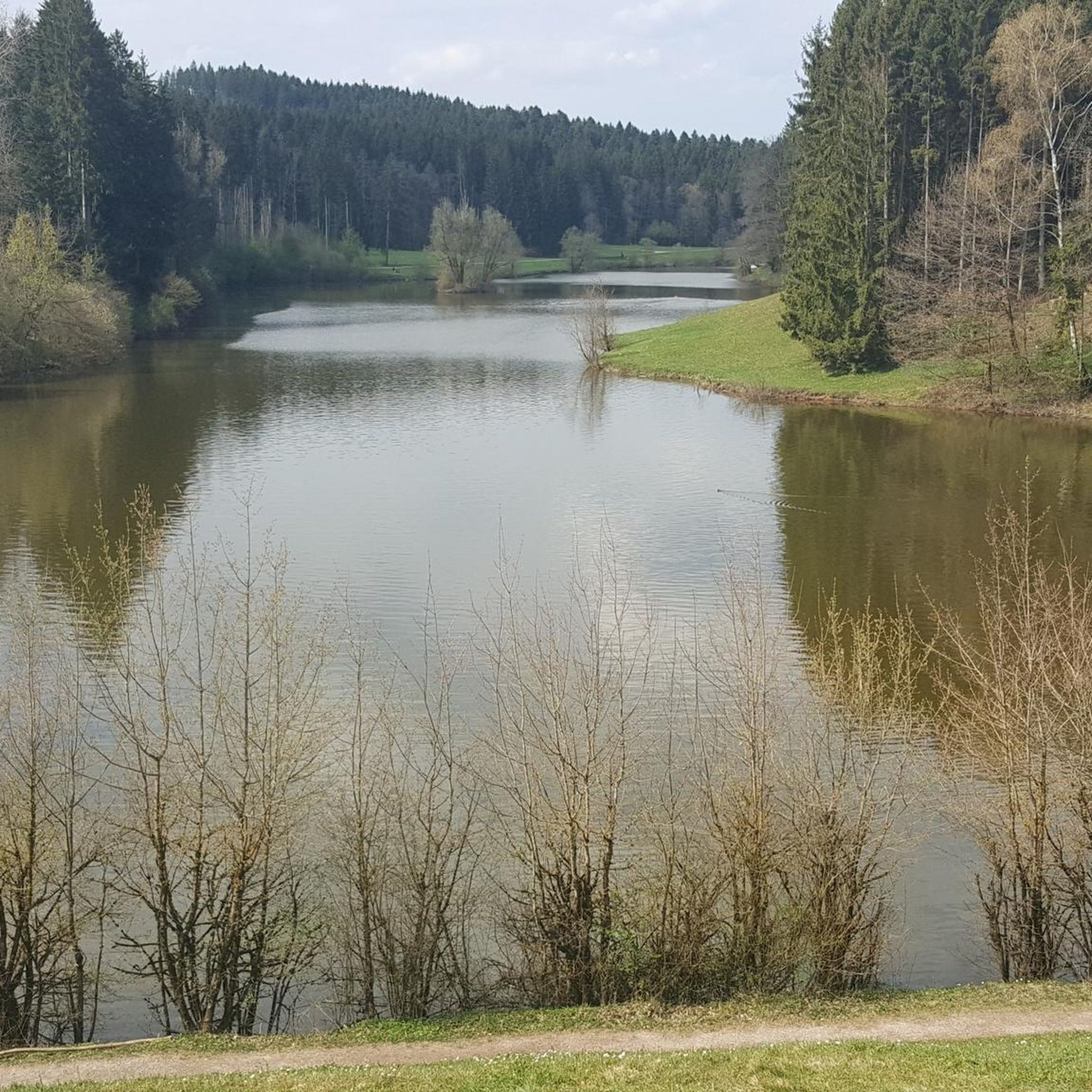
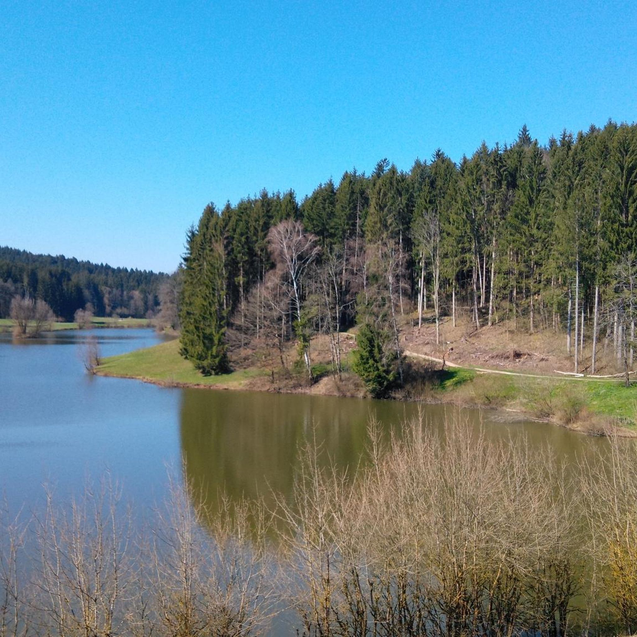
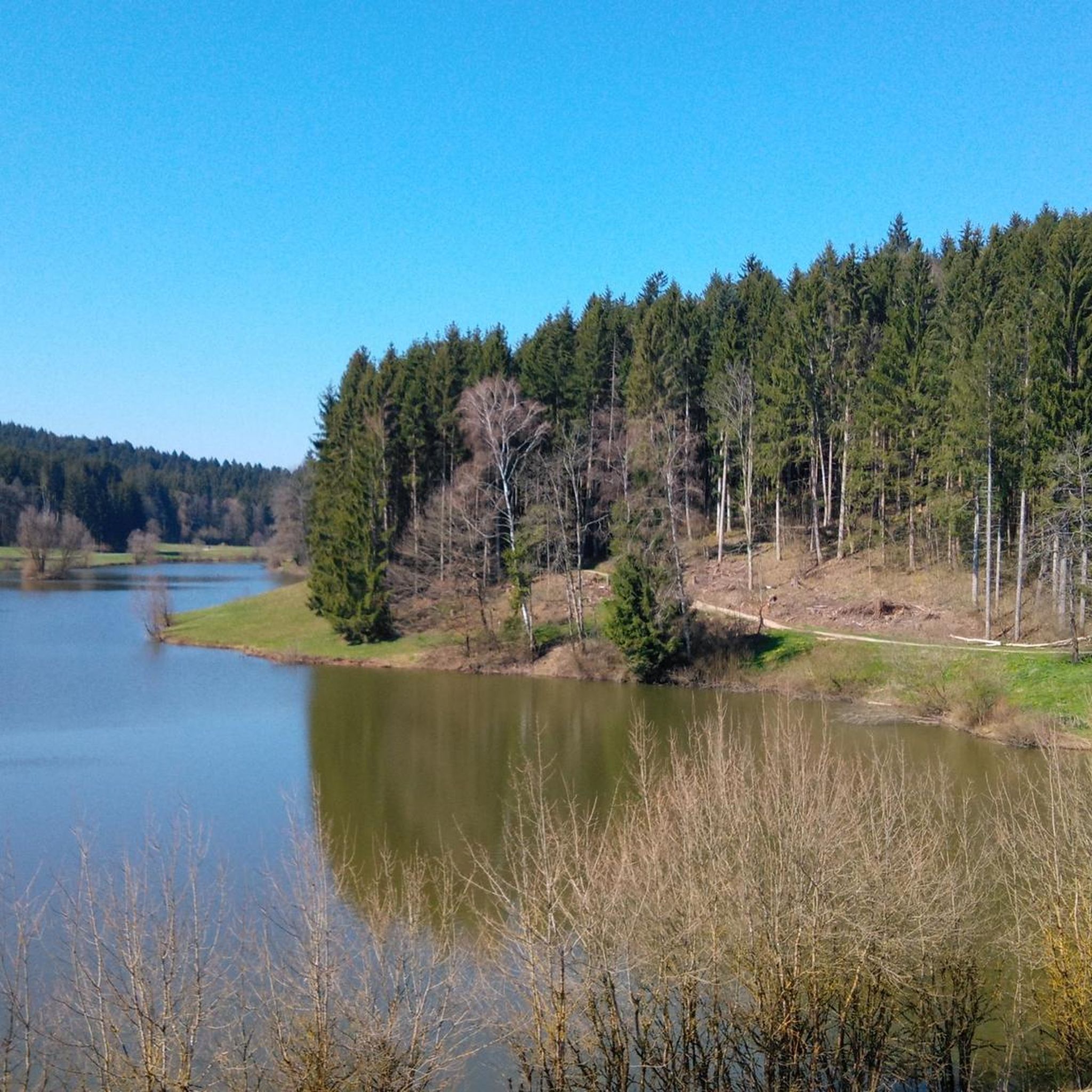
Road cycling routes around Täferrot traverse a landscape characterized by rolling hills and river valleys, including the Kocher Valley. The region features a mix of open countryside and forested sections, with elevations that provide varied climbing challenges. Road cyclists can expect routes that connect smaller towns and offer scenic views of the surrounding Swabian Alb foothills.
Best road cycling routes around Täferrot
- The most popular road cycling route is Forum Gold and Silver – View of Schwäbisch Gmünd loop from…
Last updated: July 6, 2026
4.8
(99)
492
riders
58.7km
02:40
560m
560m
Moderate road ride. Good fitness required. Mostly well-paved surfaces and easy to ride.
4.4
(33)
306
riders
45.1km
01:59
340m
340m
Moderate road ride. Good fitness required. Mostly well-paved surfaces and easy to ride.

Sign up for free
4.6
(8)
137
riders
64.7km
02:55
560m
560m
Moderate road ride. Good fitness required. Mostly well-paved surfaces and easy to ride.
5.0
(2)
40
riders
38.9km
01:44
370m
370m
Moderate road ride. Good fitness required. Mostly well-paved surfaces and easy to ride.
4.8
(4)
24
riders
34.5km
01:34
310m
310m
Moderate road ride. Good fitness required. Mostly well-paved surfaces and easy to ride.
Get access to more routes and recommendations from other explorers.
Sign up for free
Already have an account?
Our route recommendations are based on thousands of hikes, rides, and runs completed by other people on komoot.
Start today with a free account
Your next adventure awaits.
Login or Signup
Tips from the Community

An impressive castle perched just above Untergröningen.
0
0

Even though the path is too narrow and heavily used by cyclists and pedestrians, it is one of the best cycling connections in the area.
0
0

March 2026: traffic lights still in place after the landslide – but no obstacle for cyclists.
0
0
Going uphill is a great way to improve your basic endurance.
0
0

There are many beautiful views here.
0
0

Concentrated accumulation of scrap metal
1
0

simply beautiful and relaxing
0
0
Ingenious and ideal for winter training
0
0
Frequently Asked Questions
How many road cycling routes are available around Täferrot?
There are over 250 road cycling routes in the Täferrot region, catering to various skill levels. This includes approximately 46 easy routes, 164 moderate routes, and 45 difficult routes for more experienced cyclists.
Are there easy road cycling routes suitable for beginners in Täferrot?
Yes, Täferrot offers a selection of easy road cycling routes perfect for beginners or those looking for a more relaxed ride. You can find around 46 routes classified as easy, allowing you to enjoy the scenic landscape without significant climbing challenges.
What kind of terrain can I expect on road cycling routes around Täferrot?
The road cycling routes around Täferrot are characterized by rolling hills and river valleys, particularly the Kocher Valley. You'll encounter a mix of open countryside and forested sections, with elevations that provide varied climbing opportunities. The routes often connect smaller towns and offer scenic views of the surrounding Swabian Alb foothills.
What do other road cyclists enjoy most about the routes in Täferrot?
The road cycling routes in Täferrot are highly rated by the komoot community, with an average score of 4.6 stars from over 500 reviews. Cyclists frequently praise the varied terrain, the scenic views, and the well-maintained paths that make for an enjoyable riding experience.
Are there any longer road cycling routes for endurance training near Täferrot?
For longer rides, consider routes like the Schönberg–Rotenhar Ascent – View of Hohenstadt loop from Zimmerbach, which covers 42.0 miles (67.7 km) with significant ascents. Another option is the Forum Gold and Silver – View of Schwäbisch Gmünd loop from Mutlangen, a moderate 34.2 miles (55.1 km) trail.
Can I find road cycling routes that pass by historical sites or castles?
Yes, some routes will take you near historical points of interest. For example, the Laubach Castle – Leinzell Castle loop from Iggingen passes by two notable castles. You might also find routes that offer views of the Rosenstein Castle Ruins.
Are there any scenic viewpoints along the road cycling routes?
Many routes offer expansive views. The Forum Gold and Silver – View of Schwäbisch Gmünd loop from Mutlangen, for instance, provides excellent vistas towards Schwäbisch Gmünd. The region's rolling hills naturally create numerous scenic overlooks.
What is the best time of year for road cycling in Täferrot?
The best time for road cycling in Täferrot is generally from spring through autumn, roughly April to October. During these months, the weather is typically mild, and the landscapes are vibrant, offering ideal conditions for exploring the region's routes.
Are there any circular road cycling routes around Täferrot?
Yes, the majority of road cycling routes around Täferrot are designed as loops, allowing you to start and end at the same point. Examples include the Marketplace Schwäbisch Gmünd – Forum Gold and Silver loop from Mutlangen and the Climb to Frickenhofen – Descent Into the Kocher Valley loop from Leinzell.
Are there places to stop for refreshments or a break along the routes?
While specific cafes on every route are not detailed, the routes often connect smaller towns where you can find amenities. Additionally, you might encounter places like the Heinlesmühle Watermill & Café or the Altenberg Snack Station, which are popular stops for cyclists.
What are some interesting natural attractions I might see while cycling?
Beyond the general scenic beauty of the Kocher Valley and Swabian Alb foothills, you might encounter unique natural features. Consider exploring routes that pass near the Schelmenklinge Water Features or the Great Scheuer Cave for a different kind of natural experience.
Where can I find parking when starting a road cycling route in Täferrot?
Many road cycling routes in the Täferrot area start from towns like Mutlangen, Zimmerbach, Iggingen, or Leinzell. These towns typically offer public parking facilities where you can leave your vehicle before beginning your ride. It's advisable to check local parking options in your chosen starting town.
Most popular attractions around Täferrot

Get inspired with the komoot mobile app


Explore more
Browse the best Road cycling routes in other regions.
