The best MTB trails around Tackesdorf
4.9
(39)
76
riders
18
rides
Mountain bike trails around Tackesdorf are situated within the diverse landscapes of Schleswig-Holstein, characterized by rolling hills, forests, moors, and numerous lakes. The region offers varied terrain, from the gentle slopes and extensive cycle paths along the Kiel Canal to the more challenging sections found within nearby nature parks. This area provides a mix of natural features shaped by the last ice age, making it suitable for different mountain biking experiences.
Best mountain bike trails around Tackesdorf
- The most popular…
Last updated: October 13, 2026
5.0
(2)
19
riders
108km
05:50
170m
170m
Hard mountain bike ride. Very good fitness required. Suitable for all skill levels.
5.0
(16)
8
riders
Easy mountain bike ride. Great for any fitness level. Suitable for all skill levels.

4.9
(8)
12
riders
41.4km
02:08
110m
110m
Moderate mountain bike ride. Good fitness required. Suitable for all skill levels.
5.0
(2)
10
riders
24.8km
01:13
20m
20m
Easy mountain bike ride. Great for any fitness level. Suitable for all skill levels.
4.7
(3)
4
riders
41.4km
02:26
110m
110m
Moderate mountain bike ride. Good fitness required. Suitable for all skill levels.
Get access to more routes and recommendations from other explorers.
Already have an account?
Our route recommendations are based on thousands of hikes, rides, and runs completed by other people on komoot.
Start today with a free account
Your next adventure awaits.

Tips from the Community

Relatively large car ferry with very friendly staff. On the south side, there is a cozy beer garden that invites you to linger.
0
0

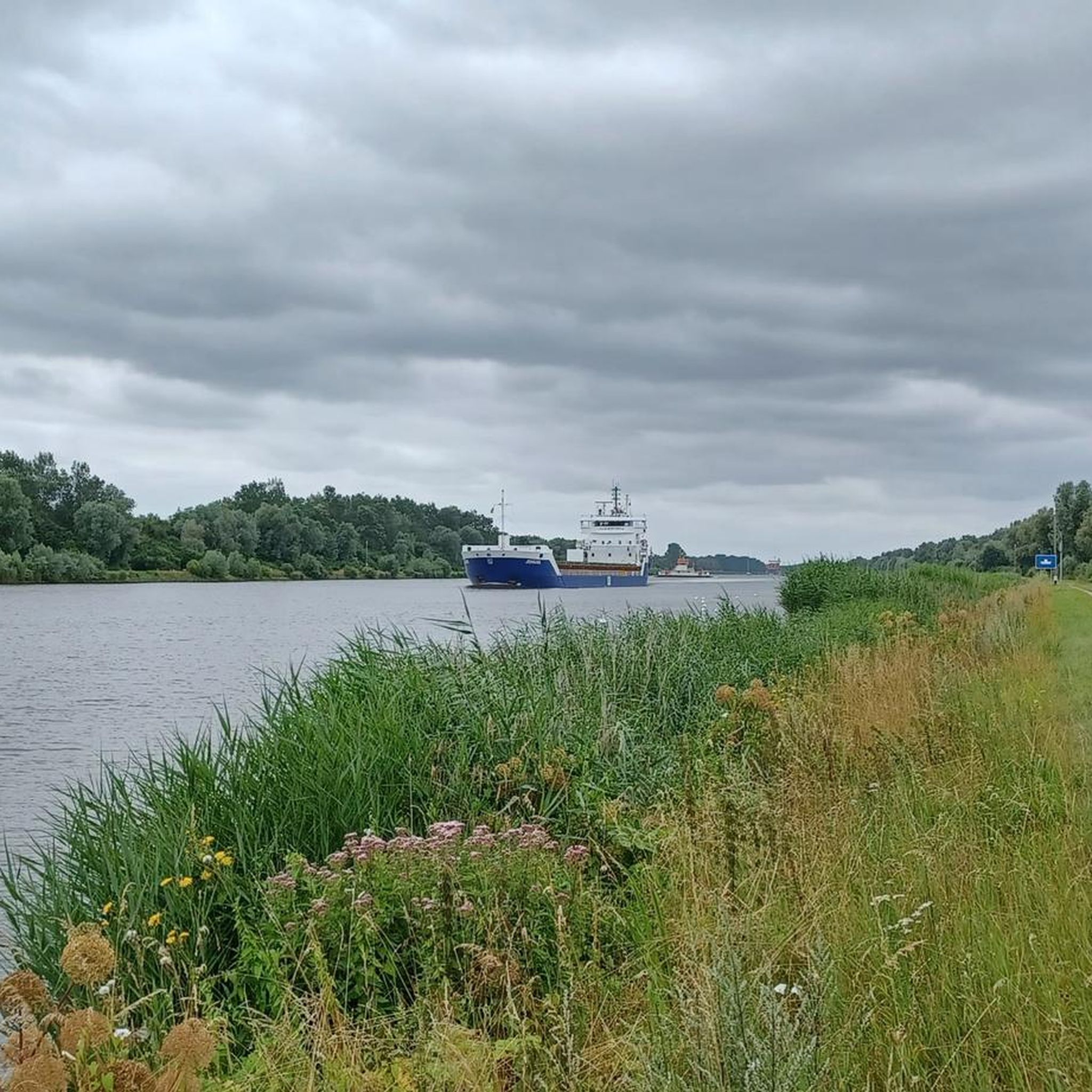
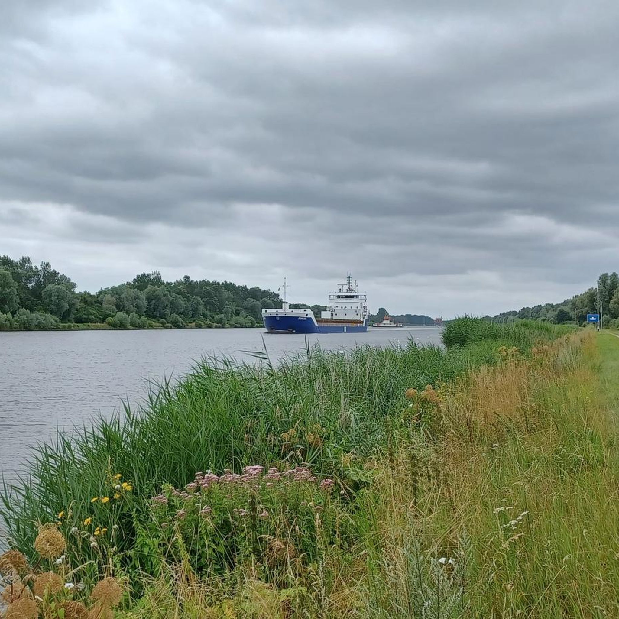
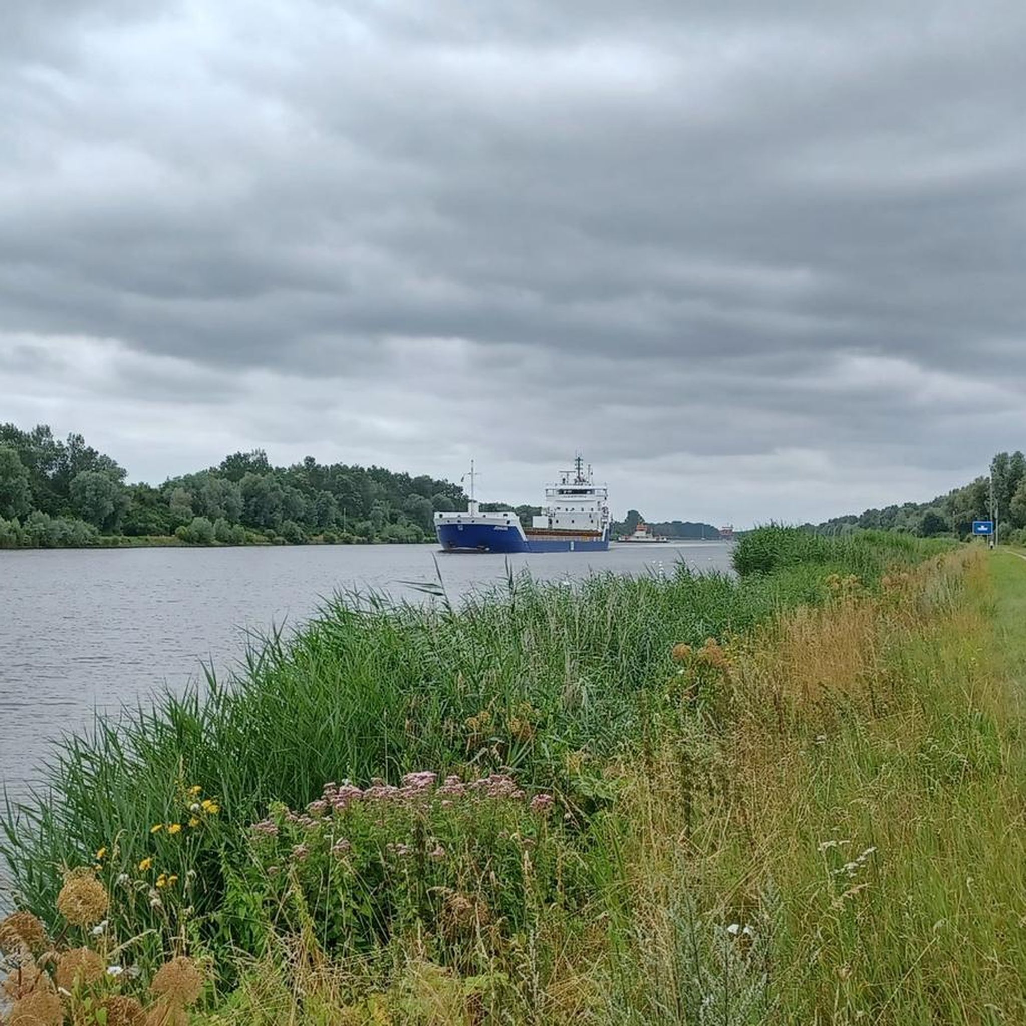
On the way along the bank of the NOK. Here you can already see the high bridge, a fantastic structure
0
0

Impressive railway bridge - worth seeing 💯🔝👍🏻🚴♀️
1
0

My group passed by here on our "Seelust: Bike Tour to the Kiel Canal" tour. The tour and the entire cycling trip, of which it's a part, are fantastic. We made it through safely.
0
0

A promising starting point for adventures
0
0


The bridge of the L 126, which crosses the Eider between Hamdorf and Breiholz, has a very beautiful view of the Eider on the western side, especially in the evening when the light river valley appears flooded with sunlight.
2
0
The Eider River marks the border between the districts of Dithmarschen and Rendsburg-Eckernförde. The pumping station is located at the idyllic bend of the river. The red brick building is designed to pump biological wastewater from the Eider.
3
0
Frequently Asked Questions
How many mountain bike trails are available around Tackesdorf?
There are over 20 mountain bike trails around Tackesdorf, offering a diverse range of experiences. These include 13 easy routes, 7 moderate, and 1 difficult trail, ensuring options for various skill levels.
What kind of terrain can I expect on mountain bike trails near Tackesdorf?
The terrain around Tackesdorf is shaped by Schleswig-Holstein's varied landscape, featuring rolling hills, forests, moors, and numerous lakes. You'll find everything from gentle slopes and extensive paths along the Kiel Canal to more challenging sections within nearby nature parks like the Hüttener Berge, which offers dedicated mountain bike trails.
Are there any family-friendly mountain bike routes in the Tackesdorf area?
Yes, there are several family-friendly options. Many of the 13 easy routes are suitable for families. For example, the Sprüttenhus Nübbel – Nübbel Eider Bridge loop from Elsdorf-Westermühlen is an easy 33.3 km path that provides a scenic ride, often alongside waterways, which can be enjoyable for a family outing.
What are some longer mountain bike routes for experienced riders?
For experienced riders looking for a challenge, the Fisher's Hut Ferry – Hohenhörn High Bridge loop from Beringstedt is a difficult 107.4 km trail that takes nearly 6 hours to complete. This route offers extensive riding through the regional landscape, including varied terrain and some elevation changes.
Are there circular mountain bike routes available?
Yes, many of the mountain bike routes around Tackesdorf are designed as loops. For instance, the Fisher's Hut Ferry – Hohenhörn High Bridge loop from Hademarschen is a popular 31.3 km circular trail that leads through varied terrain and can be completed in about 1 hour 38 minutes.
What are some interesting sights or landmarks I can see while mountain biking near Tackesdorf?
While mountain biking, you can encounter several interesting sights. The region is known for the Kiel Canal, and routes often pass by impressive structures like the Breiholz Ferry on the Kiel Canal or the Old Chain Ferry, Fischerhütte. You might also pass by natural features such as the Polders of the Haaler Au.
Is the area around Tackesdorf suitable for e-mountain biking?
Yes, the region around Tackesdorf, particularly the nearby Hüttener Berge and Westensee Nature Parks, explicitly supports e-bikes. The diverse terrain, from challenging sections to flowy trails, is well-suited for e-mountain biking, allowing riders to explore more of the landscape with assistance.
What do other mountain bikers say about the trails in Tackesdorf?
The mountain bike routes in Tackesdorf are highly rated by the komoot community, with an average score of 4.9 stars from more than 20 reviews. Riders often praise the varied terrain, the scenic paths alongside the Kiel Canal, and the options available for different ability levels.
Are there any moderate difficulty mountain bike trails?
Yes, there are 7 moderate difficulty trails in the area. An example is the Fisher's Hut Ferry – Eider Bridge near Breiholz loop from Breiholz, which is a 41.3 km route with some elevation changes, offering a good balance for riders looking for more than an easy ride but less than a difficult one.
What are the parking options for mountain bikers in the Tackesdorf area?
While specific parking spots for Tackesdorf aren't detailed, the region's nature parks and trailheads typically offer designated parking areas for outdoor enthusiasts. It's advisable to check the starting points of individual routes on komoot for specific parking information.
Can I reach mountain bike trails near Tackesdorf using public transport?
The Rendsburg-Eckernförde district, where Tackesdorf is located, has public transport options. However, direct access to specific mountain bike trailheads via public transport might be limited. For routes starting further afield, like those near the Kiel Canal, public transport might get you closer to the general area, but a short ride or transfer may still be needed to reach the exact starting point.
Most popular attractions around Tackesdorf

Get inspired with the komoot mobile app


Explore more
Browse the best MTB trails in other regions.
