The best road cycling routes around Castelgerundo
4.4
(193)
3,687
riders
205
rides
Road cycling routes around Castelgerundo are characterized by the flat terrain of the Lombardy plain, situated within the Parco Adda Sud. This region features extensive agricultural expanses, natural woodlands, and riverine environments shaped by the Adda River. The topography is generally flat, making it accessible for road cyclists.
Best road cycling routes around Castelgerundo
- The most popular road cycling route is Along the Cremona-Pizzighettone canal – loop tour in the Parco Adda Sud, a 29.3 miles (47.1 km) trail…
Last updated: October 10, 2026
4.0
(1)
32
riders
33.4km
01:25
80m
80m
Easy road ride. Great for any fitness level. Mostly well-paved surfaces and easy to ride.
5.0
(1)
29
riders
46.5km
04:17
80m
80m
Moderate road ride. Good fitness required. Mostly well-paved surfaces and easy to ride.

19
riders
47.8km
02:19
110m
110m
Moderate road ride. Good fitness required. Mostly well-paved surfaces and easy to ride.
4.0
(2)
18
riders
37.6km
01:31
60m
70m
Easy road ride. Great for any fitness level. Mostly well-paved surfaces and easy to ride.
25
riders
Moderate road ride. Good fitness required. Mostly well-paved surfaces and easy to ride.
Get access to more routes and recommendations from other explorers.
Already have an account?
Our route recommendations are based on thousands of hikes, rides, and runs completed by other people on komoot.
Start today with a free account
Your next adventure awaits.

Tips from the Community

The walls and towers of Pizzighettone (Cremona) constitute one of the best-preserved and most significant walled circuits in Northern Italy. This imposing military fortress, lapped by the Adda river, rises to a height of about 12 meters and has a thickness that reaches 4 meters in some places. Its uniqueness lies in the presence of "casemates", a continuous series of internal rooms that are entirely covered and communicate with each other.
0
0
The Pizzighettone railway bridge is an important metal arch infrastructure located on the Pavia-Mantova line (in the Codogno-Cremona section) which crosses the Adda river, connecting the Pizzighettone station with the Ponte d'Adda stop.
0
0

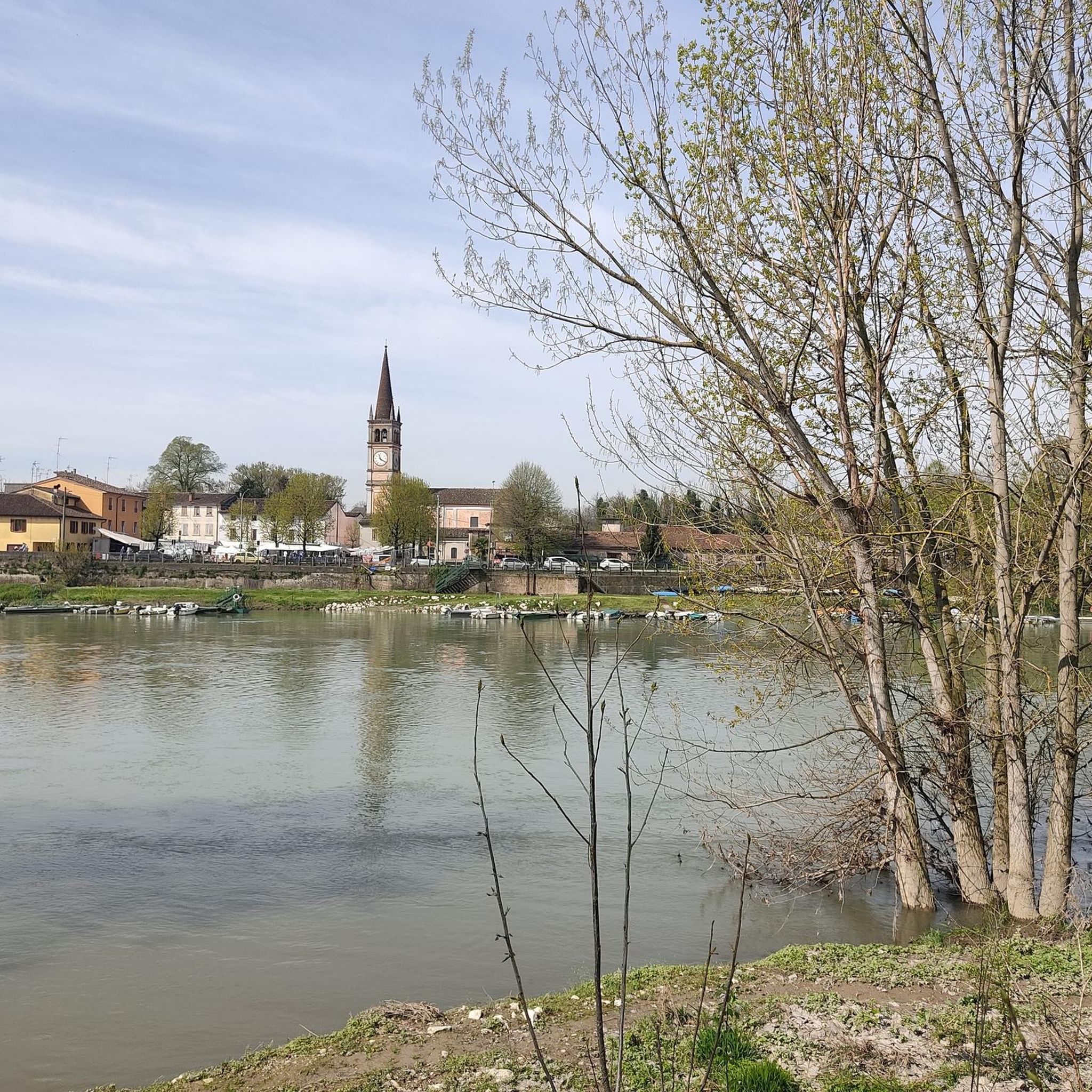
Splendid example of Romanesque architecture with terracotta bricks.
2
0

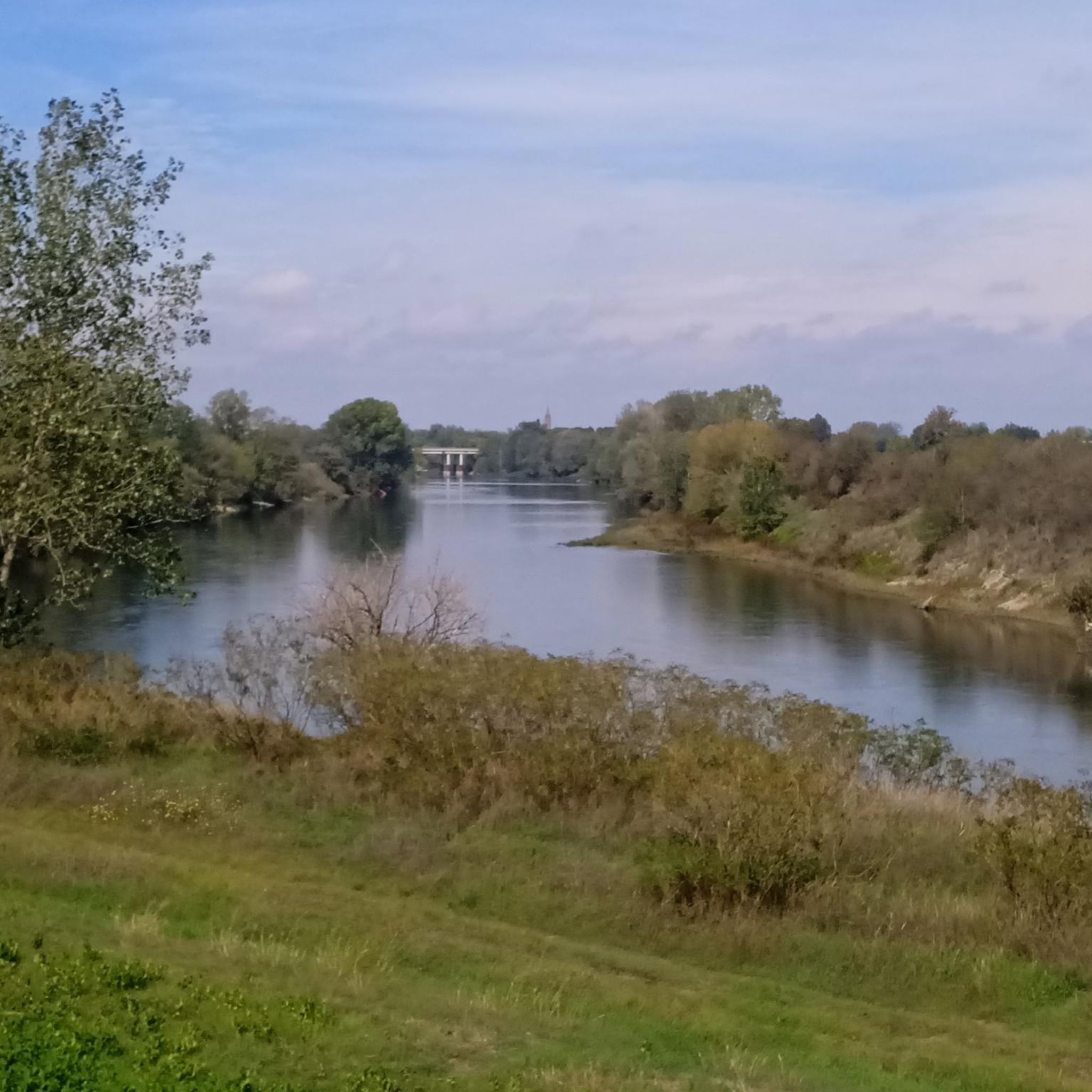
Pizzighettone is an ideal starting point for exploring both the banks of the Adda and for heading to Cremona along the cycle path of the Milan-Cremona canal
0
0

The tower is located near the Trento and Trieste bridge on the Adda river
1
0


Place of worship and prayer Piazza Matteotti, 26826 Secugnago LO https://comune.secugnago.lo.it/contenuti/192485/chiesa 0377807005
3
1

The Church of San Bassiano was built in the 12th century by refugees from Lodi, who fled the destruction of Barbarossa, and named after the first bishop of their city of origin. It is an example of Romanesque architecture and also one of the oldest buildings in the Cremona area
3
0
Frequently Asked Questions
What is the general terrain like for road cycling around Castelgerundo?
The region around Castelgerundo is characterized by its generally flat terrain, making it highly accessible for road cyclists of varying skill levels. Routes often traverse extensive agricultural areas, natural woodlands, and riverine environments, particularly within the Parco Adda Sud, which follows the lower, flat course of the Adda River.
How many road cycling routes are available in the Castelgerundo area?
There are nearly 200 road cycling routes around Castelgerundo documented on komoot. This includes a wide variety of options, with over 60 easy routes and more than 120 moderate routes, ensuring there's something for every skill level.
Are there any easy or beginner-friendly road cycling routes in Castelgerundo?
Yes, Castelgerundo offers numerous easy routes perfect for beginners or those seeking a relaxed ride. The flat topography of the area, especially within the Parco Adda Sud, makes it very accessible. An example is the South Adda Ring Trail, an easy 20.8-mile path offering scenic views of the Adda River and surrounding landscapes.
What kind of landmarks or viewpoints can I expect to see along the road cycling routes?
Road cycling routes around Castelgerundo offer a blend of natural beauty and historical sites. You can encounter riverine landscapes, agricultural expanses, and woodlands. Notable landmarks include the historic Adda River Bridge and Visconti Tower in Pizzighettone, and the medieval Borromeo Castle of Camairago. You might also pass by the Stork Visitor Center of the Adda Sud Park, offering insights into local wildlife.
Are there any circular road cycling routes in Castelgerundo?
Yes, many routes in the area are designed as loops, allowing you to start and end in the same location. For instance, the Along the Cremona-Pizzighettone canal – loop tour in the Parco Adda Sud is a moderate 29.3-mile circular route. Another option is the Adda and Po Rivers Loop, which covers 28.9 miles through agricultural areas and along riverbanks.
What is the best time of year for road cycling in Castelgerundo?
The flat terrain of Castelgerundo makes it suitable for road cycling for much of the year. Spring and autumn generally offer the most pleasant temperatures for longer rides. While winter conditions can be cold, the lack of significant elevation means routes remain accessible, though some paths might be affected by rain or frost.
What do other road cyclists enjoy most about the routes in Castelgerundo?
The road cycling routes around Castelgerundo are highly rated by the komoot community, with an average score of 4.4 stars from over 200 reviews. Cyclists often praise the quiet agricultural roads, the scenic paths along the Adda River, and the overall accessibility due to the flat topography, which makes for enjoyable rides for various fitness levels.
Are there any routes that pass through historical towns or villages?
Yes, some routes connect Castelgerundo with nearby historical towns. For example, the Crema and Pizzighettone Walled Cities Loop is a moderate 38.4-mile route that allows you to explore the charm of these historic locations, including the well-preserved medieval village of Pizzighettone with its casemates and old prison.
Can I find protected cycle paths in the Castelgerundo area?
Yes, the broader Province of Lodi, which includes Castelgerundo, boasts an extensive network of protected cycle paths, totaling 110 km. Additionally, there are 150 km of routes on minor country roads and 130 km on embankment roads, many of which are suitable for road bikes and offer a safer cycling experience away from heavy traffic.
Are there longer road cycling routes available for experienced cyclists?
While the terrain is generally flat, longer routes can be created by combining sections of the extensive network. The "Percorsi dell'arcobaleno" (Rainbow Routes) within the Parco Adda Sud are a series of seven interconnected itineraries that can be combined for tours exceeding 200 kilometers. A notable option is the On the Adda Ridge – loop tour in the Parco Adda Sud, a moderate 29.7-mile route that can be integrated into longer rides.
What kind of natural environments will I encounter while cycling?
The natural environments are largely defined by the Parco Adda Sud. You'll cycle through wide agricultural areas, natural and semi-natural woodlands, and riverine landscapes featuring unique wetland formations like "lanche" and "morte" (oxbow lakes and stagnant waters) shaped by the Adda River's historical meanders. These areas offer opportunities to observe local flora and fauna.
Most popular routes around Castelgerundo
Most popular attractions around Castelgerundo

Get inspired with the komoot mobile app


Explore more
Browse the best Road cycling routes in other regions.
