The best road cycling routes around Locate Di Triulzi
4.2
(1110)
18,983
riders
24
rides
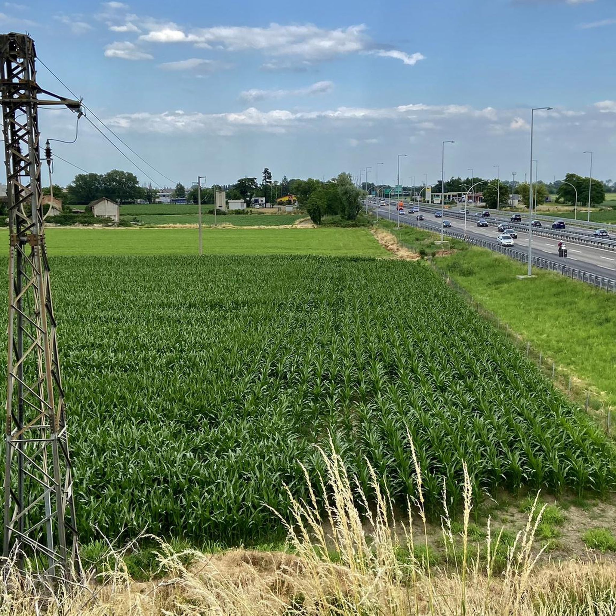
Road cycling routes around Locate Di Triulzi are characterized by predominantly flat terrain, making the area suitable for various fitness levels. Situated along the Lambro River and within the Parco Agricolo Sud Milano, the region features extensive agricultural fields and a network of canals. This landscape provides a serene environment for cyclists, with minimal elevation gain on many routes. Paved surfaces, including quiet roads and dedicated cycleways, ensure smooth riding conditions.
Best road cycling routes around Locate Di Triulzi
- The…
Last updated: July 5, 2026
4.5
(2)
111
riders
114km
05:31
790m
790m
Hard road ride. Very good fitness required. Some segments of this route may be unpaved and difficult to ride.
4.3
(7)
103
riders
Moderate road ride. Good fitness required. Mostly well-paved surfaces and easy to ride.

Sign up for free
4.0
(2)
60
riders
92.3km
03:46
320m
320m
Moderate road ride. Good fitness required. Mostly well-paved surfaces and easy to ride.
4.0
(6)
57
riders
Moderate road ride. Great for any fitness level. Some segments of this route may be unpaved and difficult to ride.
22
riders
Moderate road ride. Good fitness required. Mostly well-paved surfaces and easy to ride.
Get access to more routes and recommendations from other explorers.
Sign up for free
Already have an account?
Our route recommendations are based on thousands of hikes, rides, and runs completed by other people on komoot.
Start today with a free account
Your next adventure awaits.
Login or Signup
Tips from the Community

The former Church of San Bernardo in Morimondo (MI) is a building of medieval origin dating back to the 12th century. Located in Via Roma, 8, at the entrance to the historic center, it is a private and currently deconsecrated structure, which preserves the original flat apse and a Lombard terracotta bell tower. The building, which once served as the parish church for the settlement under the guidance of the monks, has a single-nave layout heavily renovated at the end of the 17th century. Today, the former church is one of the first evocative stops in the village and overlooks the cobblestones leading to the nearby and more famous Abbey of Santa Maria di Morimondo. Together with the surrounding rural dwellings, it forms a picturesque view greatly appreciated by visitors exploring the area.
0
0
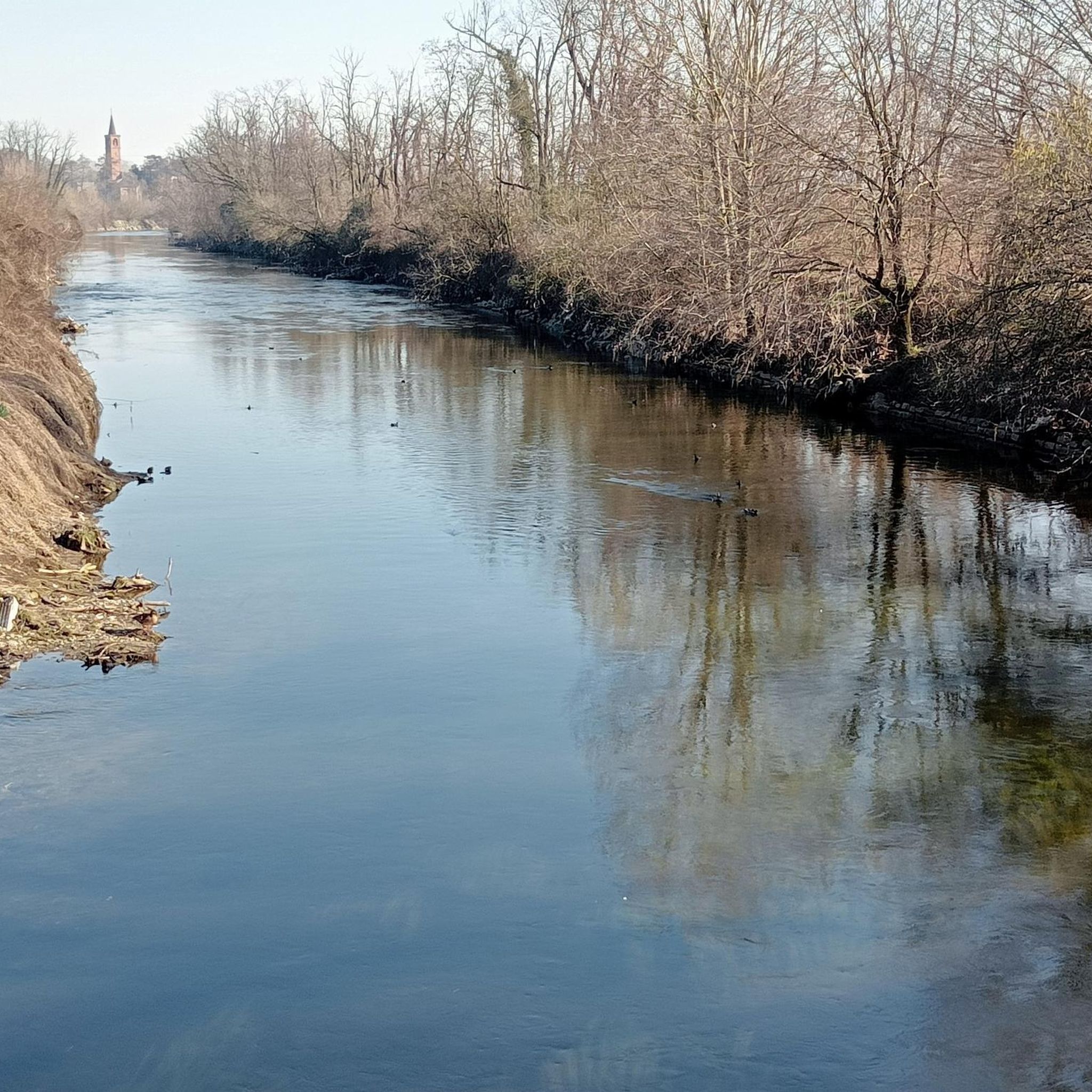
The fields and rice paddies near Noviglio can periodically be flooded due to heavy rainfall or normal irrigation and agricultural channel management operations. These floods generally concentrate near the local cycle paths and rural roads—such as those of the Sprint delle Risaie di Cantalupo on Komoot—which follow the course of local canals. The area is part of a region with an extensive irrigation network, making the fields close to the embankments easily prone to waterlogging during the rainier months and the sowing season.
0
0
The climb from San Colombano al Lambro (Viale Milano) to the Moccia area and the crest of the hill covers about 750 m to the plateau. Along the way, you cross the Strada della Capra and skirt the splendid Bosco della Moccia, a protected area rich in oaks and hornbeams. San Colombano hill offers several routes to walk or cycle to reach the panoramic part
0
0

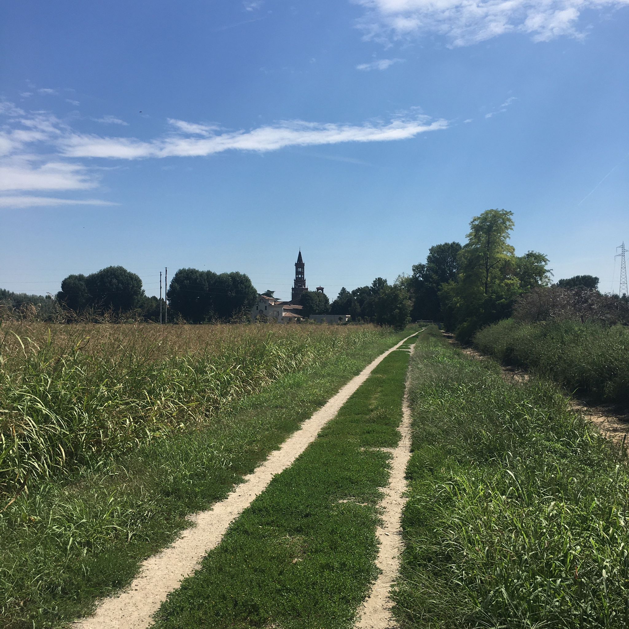
A real surprise: a cycle path that is a straight stretch but is still nice to ride. Very wide, it allows you to cycle without problems with any type of bike
1
0
Miradolo Terme is an Italian municipality located in Lombardy, in the province of Pavia, known mainly for its renowned thermal spa and for being the birthplace of the famous television presenter Gerry Scotti. The town stands in a hilly position at the foot of the San Colombano hills, surrounded by vineyards and hazelnut groves overlooking the Bassa Pavese.
0
0

perfect asphalt BUT... 1. both in the underpass of Casarile and on arrival in Pavia, the final arrangements for the wooden bridge and the arrival at the stadium are delayed... how much longer??!! 2. "bike-friendly" signage is completely missing for the safety of bikers and cars/pedestrians, both on the crossings of the cycle path with roads used by traffic and for finding the cycle path from the Alzaia Pavese 3. once you are on the main road SS35 at Binasco to get back on the cycle path, YOU RISK YOUR LIFE!! accesses not signposted for either cars or cyclists and almost impossible to use in both directions ... DANGER to be fixed before an accident happens!
1
0

very beautiful and easy even for families! it has some stretches of white road and is completely flat! only note, it is completely in the sun so it is advisable to do it early in the morning!
0
0
The Ciaparat Chapel is a landmark mainly known on road cycling routes around Sant'Angelo Lodigiano and the Parco Agricolo Sud Milano, often included in loop itineraries between Bascapè, Locate Triulzi, and Vistarino. It is a popular area for moderate road bike training, with asphalted roads.
0
0
Frequently Asked Questions
What is the typical terrain like for road cycling around Locate Di Triulzi?
Road cycling around Locate Di Triulzi is characterized by predominantly flat terrain, making it suitable for various fitness levels. The routes often traverse the expansive Parco Agricolo Sud Milano, featuring extensive agricultural fields, canals like the Naviglio Pavese, and remnants of ancient oxbow lakes. Paved surfaces, including quiet roads and dedicated cycleways, ensure a smooth ride with minimal elevation gain.
What kind of road cycling routes can I find in Locate Di Triulzi, in terms of difficulty?
Locate Di Triulzi offers a diverse range of road cycling routes. You'll find options for all abilities, including 7 easy routes, 22 moderate routes, and 1 difficult route. This variety ensures that both casual riders and experienced cyclists can find a suitable challenge.
What natural features or landmarks can I expect to see along road cycling routes in Locate Di Triulzi?
Many road cycling routes in the area pass through the scenic Parco Agricolo Sud Milano, offering views of agricultural fields, the Lambro River, and the picturesque Naviglio Pavese canal. You might also encounter naturalistic areas like Pizzabrasa and The Lamberin, as well as historic farmhouses known as 'cascine'. Notable historical landmarks accessible from some routes include the 12th-century Chiaravalle Abbey and the 15th-century Castello di Peschiera Borromeo.
Are there family-friendly road cycling routes in Locate Di Triulzi?
Yes, the predominantly flat landscape and extensive network of paved cycle paths make Locate Di Triulzi highly suitable for family-friendly road cycling. Many routes feature minimal elevation gain, providing an enjoyable and accessible experience for riders of all ages and fitness levels.
When is the best time of year to go road cycling in Locate Di Triulzi?
The best times for road cycling in Locate Di Triulzi are typically spring (April to June) and autumn (September to October). During these seasons, the weather is generally mild and pleasant, with comfortable temperatures for longer rides. Summer can be warm, while winter might bring colder temperatures and a higher chance of rain.
What do other road cyclists enjoy the most about road cycling in Locate Di Triulzi?
The road cycling routes around Locate Di Triulzi are highly rated by the komoot community, with an average score of 3.7 stars from over 60 reviews. Cyclists often praise the serene environment of the agricultural park, the smooth paved surfaces, and the scenic canal paths, especially along the Naviglio Pavese, which offers a relaxing ride through the Lombardy countryside.
Are there any routes that follow the Naviglio Pavese canal?
Yes, the Naviglio Pavese is a popular feature for road cyclists in the area. A great option is the Naviglio Pavese Cycle Path – Certosa Mills loop from Locate Triulzi, a moderate 79.4 km path that offers a smooth ride through the agricultural landscape. Another popular choice is the Naviglio Pavese Cycle Path – Certosa of Pavia (Charterhouse of Pavia) loop from Locate Triulzi, which is 42.1 km long.
Are there any challenging road cycling routes with significant elevation gain?
While the region is largely flat, there is at least one route that offers a more significant challenge. The Ponte della Becca – Canneto climb from Broni loop from Locate Triulzi is a difficult 113.5 km trail featuring notable elevation gain, making it suitable for experienced road cyclists looking for a demanding ride.
Can I find routes that are a good length for a half-day ride?
Absolutely. Many routes are well-suited for half-day excursions. For example, the Certosa Mills – Naviglio Pavese Cycle Path loop from Locate Triulzi is a moderate 53.3 km trail that can typically be completed in about 2 hours and 12 minutes, offering a perfect half-day ride through agricultural fields and canal paths.
Are there any routes that explore the local woods or natural areas?
Yes, some routes venture into the naturalistic areas surrounding Locate Di Triulzi. The Banine Ascent: The Woods – Ciaparat Chapel loop from Locate Triulzi is a moderate 92.3 km route that takes you through wooded sections, offering a different scenic experience compared to the open agricultural fields.
What is the overall cycling experience like in the South Milan Agricultural Park?
Cycling within the Parco Agricolo Sud Milano offers a serene and immersive experience. The park is a protected green belt characterized by vast agricultural fields, a network of canals, and diverse ecosystems. Cyclists can enjoy quiet roads and dedicated cycleways, often passing by historic farmhouses and naturalistic areas, providing a peaceful escape from urban environments.
Most popular routes around Locate Di Triulzi
Most popular attractions around Locate Di Triulzi

Get inspired with the komoot mobile app


Explore more
Browse the best Road cycling routes in other regions.
