The best MTB trails around Sulzdorf an der Lederhecke
4.6
(638)
1,598
riders
304
rides
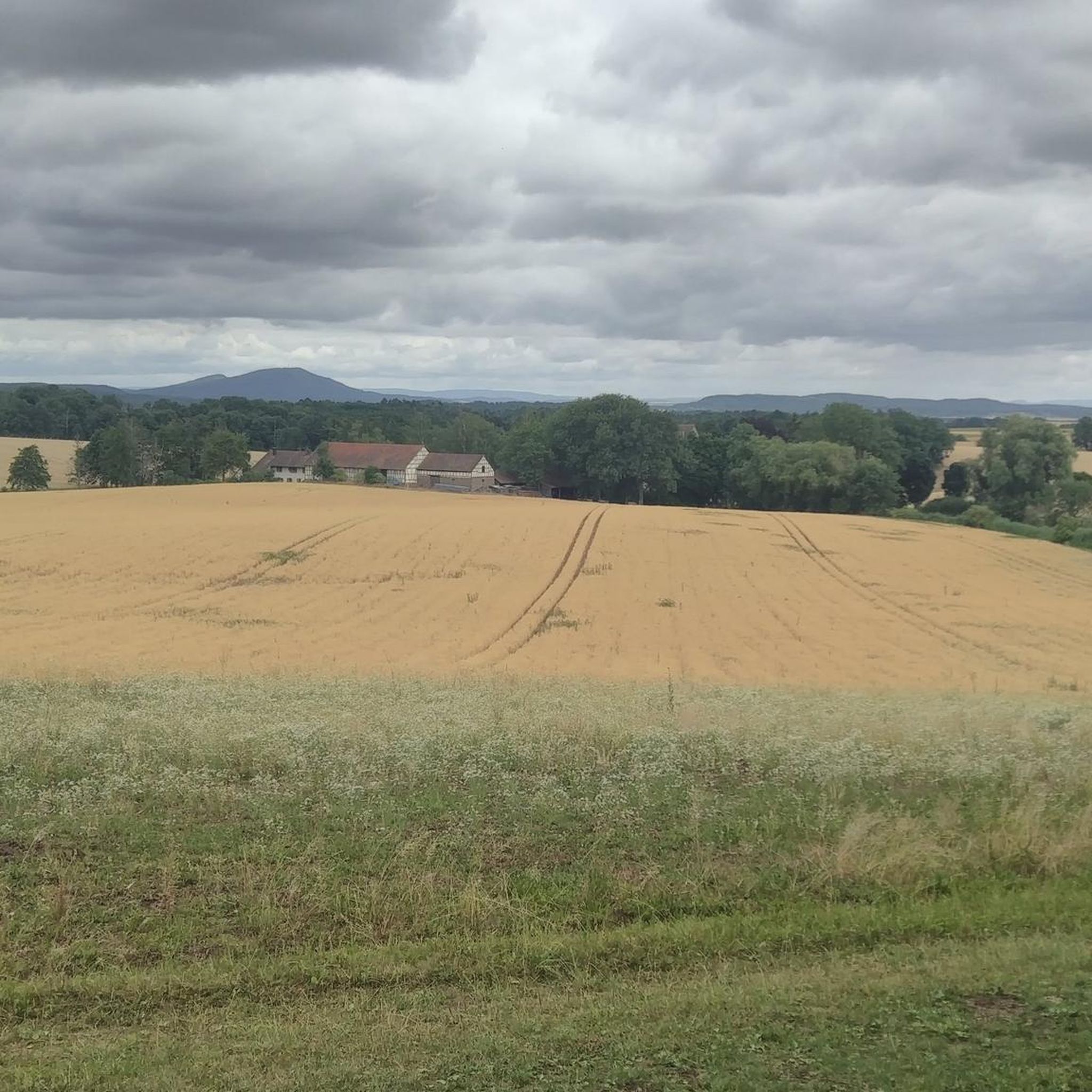
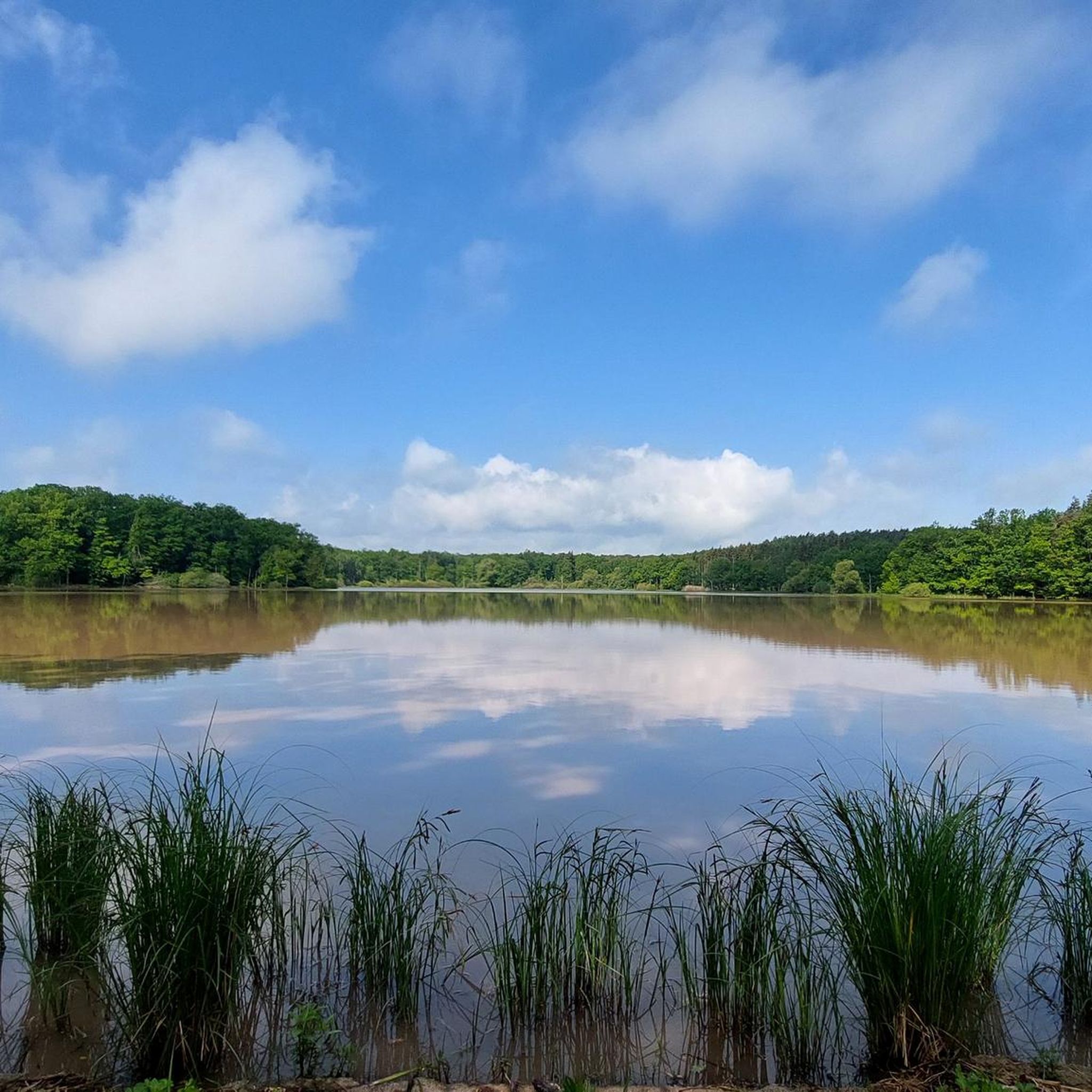
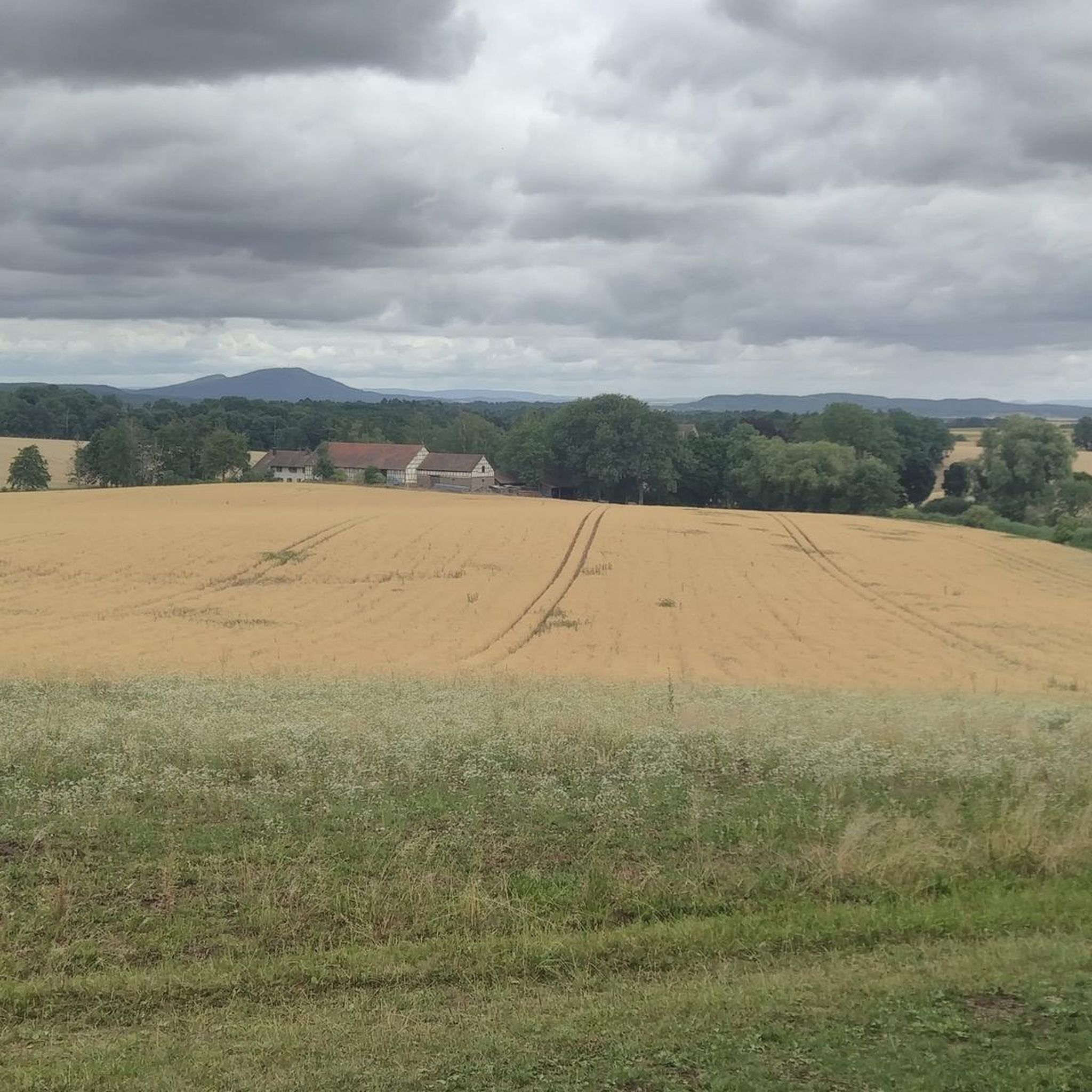
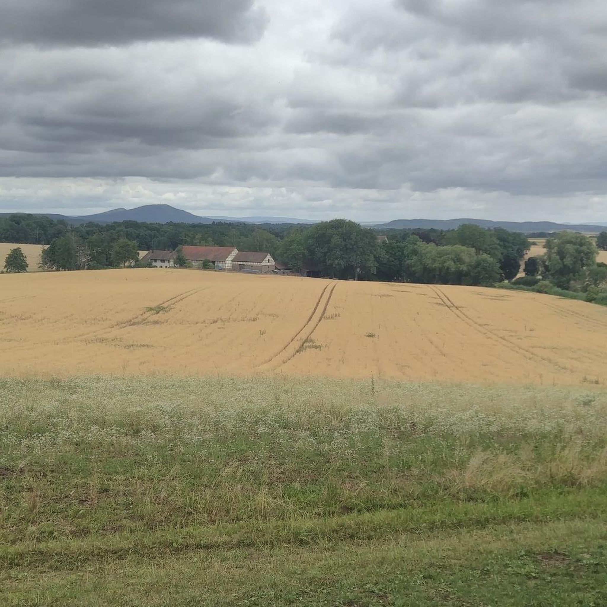
Mountain biking around Sulzdorf an der Lederhecke offers diverse terrain through rolling hills and dense forests in the Rhön-Grabfeld district. The region is characterized by its varied landscape, including extensive woodlands, river valleys, and natural lakes like Reuthsee. These physical features provide a natural backdrop for mountain bike trails, ranging from forested paths to open sections. The area's topography makes it suitable for exploring on two wheels.
Best mountain bike trails around Sulzdorf an der Lederhecke
- The most popular mountain…
Last updated: October 13, 2026
4.8
(9)
43
riders
50.2km
03:20
480m
480m
Moderate mountain bike ride. Good fitness required. Advanced riding skills necessary.
5.0
(3)
7
riders
Moderate mountain bike ride. Good fitness required. Advanced riding skills necessary.

4.5
(2)
4
riders
34.9km
02:53
470m
470m
Moderate mountain bike ride. Good fitness required. Advanced riding skills necessary.
5.0
(2)
6
riders
32.6km
02:33
410m
410m
Moderate mountain bike ride. Good fitness required. Advanced riding skills necessary.
6
riders
51.2km
04:23
980m
980m
Hard mountain bike ride. Very good fitness required. Advanced riding skills necessary.
Get access to more routes and recommendations from other explorers.
Already have an account?
Our route recommendations are based on thousands of hikes, rides, and runs completed by other people on komoot.
Start today with a free account
Your next adventure awaits.
Tips from the Community

A very cozy trail. Looked like someone had cleaned it. Suitable for beginners and normal bikes.
0
0

Opportunity for a break, right next to it an interesting board about the course of the Baunach.
5
0

The road is nice to drive on.
1
0
Parking lot with seven intersections
1
0

A beautiful historic market square, well-preserved and restored half-timbered houses, a few cafes and ice cream parlors invite you to sit outside in the summer.
2
0
The first sandstone spring casing from the 1940s was redesigned in 1973 and acquired its current representative appearance in 1985. A bronze plaque by Erich Husemann from Trappstadt has commemorated the importance of the Franconian Saale since 1987. The spring stream flows southwest through Alsleben, where it joins the Fleusengraben, and joins the left source stream north of Bad Königshofen-Untereßfeld. Source: https://de.m.wikipedia.org/wiki/Fr%C3%A4nkische_Saale
14
1
The Franconian Saale originates in the Grabfeld near the Haßberge Mountains, east and southeast of Bad Königshofen, respectively, from two roughly equal, 3.9 km long source streams: Its right and northern source streams originate from the Saalbrunnen (not to be confused with the Saalbrunnen, also located in Franconia), approximately 1.7 kilometers east of Alsleben, a district of Trappstadt. The spring is located in an open field, less than 500 meters from the Thuringian border, just off the NES 45 district road, which leads to Gompertshausen. The young Franconian Saale rises there at 313 meters above sea level, below the Kapellenberg (390 meters above sea level). Source: https://de.m.wikipedia.org/wiki/Fr%C3%A4nkische_Saale
14
1
Frequently Asked Questions
How many mountain bike trails are available around Sulzdorf an der Lederhecke?
There are over 330 mountain bike routes in the Sulzdorf an der Lederhecke area. These include 58 easy routes, 263 moderate routes, and 13 difficult routes, offering options for various skill levels.
What is the general terrain like for mountain biking in Sulzdorf an der Lederhecke?
The terrain around Sulzdorf an der Lederhecke is characterized by rolling hills, dense forests, and river valleys within the Rhön-Grabfeld district. You'll find a mix of forested paths, open sections, and varied landscapes, including heath areas and natural lakes.
Are there mountain bike trails suitable for beginners in Sulzdorf an der Lederhecke?
Yes, there are 58 easy mountain bike routes available in the area. These trails are generally less demanding, making them suitable for beginners or those looking for a relaxed ride through the scenic landscape.
Are there challenging mountain bike routes for experienced riders?
For experienced riders seeking a challenge, there are 13 difficult mountain bike routes around Sulzdorf an der Lederhecke. An example of a more demanding route is the Sulzfelder Lake – Downhill Trail to Birnfeld loop from Ermershausen, which covers over 51 km with significant elevation changes.
What natural features can I expect to see while mountain biking?
You can explore various natural features, including the idyllic Sulzfelder Lake and the Reuthsee, both surrounded by extensive forests. You might also encounter the source of the Fränkische Saale river near Obereßfeld, or ride through the 'Lederhecke' wooded ridge.
Are there any historical landmarks or castles along the mountain bike trails?
Yes, the region is rich in historical sites. You can pass by well-preserved moated castles like Brennhausen Castle, or the impressive Schloss Sternberg. The Altenstein Castle Ruins – Eyrichshof Castle loop from Ermershausen is a great option for combining history with your ride.
Where can I find panoramic views while mountain biking?
For expansive views, consider routes that pass by viewpoints such as the View from Spanshügel or the Summit cross and viewpoint. While the Bayernturm is currently inaccessible, the Aussichtsturm Schwedenschanze also offers significant historical interest and views.
Are there family-friendly mountain bike trails in Sulzdorf an der Lederhecke?
Many of the 58 easy routes are suitable for families, offering gentler terrain and shorter distances. These trails often wind through forests and past lakes, providing a pleasant outdoor experience for all ages.
Can I bring my dog on the mountain bike trails?
Generally, dogs are welcome on public trails in the Sulzdorf an der Lederhecke area, especially in the extensive forested regions. However, it's always recommended to keep your dog on a leash, especially in nature reserves like Reuthsee, and to be mindful of other trail users and wildlife.
What do other mountain bikers enjoy the most about mountain biking in Sulzdorf an der Lederhecke?
The area is highly rated by the komoot community, with an average score of 4.7 stars from over 500 reviews. Reviewers often praise the diverse terrain, the extensive network of trails through dense forests, and the opportunity to combine outdoor activity with cultural exploration of castles and historical sites.
Are there any circular mountain bike routes available?
Yes, many of the mountain bike trails in Sulzdorf an der Lederhecke are designed as circular routes. For example, the Gatehouse Trappstadt – Market Square, Bad Königshofen loop from Schloss Sternberg is a popular moderate circular path that takes you through varied landscapes and past historic sites.
What is the best time of year for mountain biking in this region?
The varied landscape of Sulzdorf an der Lederhecke, with its forests and rolling hills, makes it suitable for mountain biking throughout much of the year. Spring and autumn offer pleasant temperatures and vibrant scenery, while summer provides longer daylight hours. Always check local weather conditions before heading out.
Are there any specific long-distance mountain bike routes that connect to other regions?
While specific long-distance routes are not detailed in the local data, the region is known for connecting paths like the 'E3: Grabfeld and Haßberge' path, which links the Rhön and Haßberge regions. This suggests opportunities for longer rides that extend beyond the immediate Sulzdorf area.
Most popular routes around Sulzdorf an der Lederhecke
Most popular attractions around Sulzdorf an der Lederhecke

Get inspired with the komoot mobile app


Explore more
Browse the best MTB trails in other regions.
