The best cycling routes around Sant'Agata Bolognese
4.4
(412)
2,591
riders
225
rides
Touring cycling routes around Sant'Agata Bolognese are primarily found within the flat expanse of the Bolognese Plain, featuring accessible terrain ideal for various skill levels. The region is traversed by the Ciclovia del Sole, a major European cycling network, which utilizes former railway lines. Cyclists can explore tranquil rural landscapes, agricultural fields, and ecological balance areas such as the Bosco di Santa Lucia and La Bora Nature Reserve. These routes offer a blend of natural scenery and historical points of…
Last updated: June 29, 2026
4.5
(8)
103
riders
Moderate bike ride. Good fitness required. Mostly paved surfaces. Suitable for all skill levels.
4.7
(20)
70
riders
19.9km
01:08
20m
20m
Easy bike ride. Great for any fitness level. Mostly paved surfaces. Suitable for all skill levels.

Sign up for free
4.0
(7)
25
riders
Moderate bike ride. Good fitness required. Mostly paved surfaces. Suitable for all skill levels.
4.8
(8)
22
riders
19.6km
01:07
20m
20m
Easy bike ride. Great for any fitness level. Mostly paved surfaces. Suitable for all skill levels.
12
riders
44.7km
03:00
40m
40m
Moderate bike ride. Good fitness required. Mostly paved surfaces. Suitable for all skill levels.
Get access to more routes and recommendations from other explorers.
Sign up for free
Already have an account?
Our route recommendations are based on thousands of hikes, rides, and runs completed by other people on komoot.
Start today with a free account
Your next adventure awaits.
Login or Signup
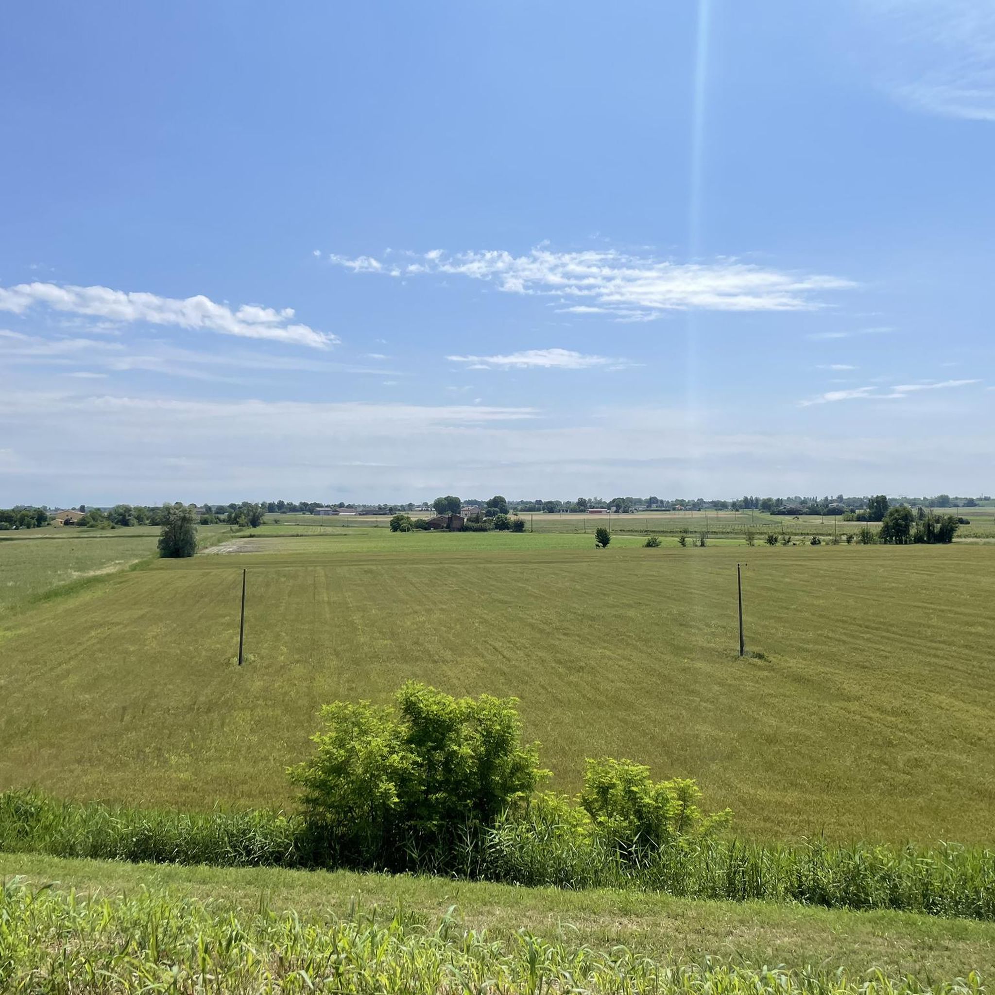
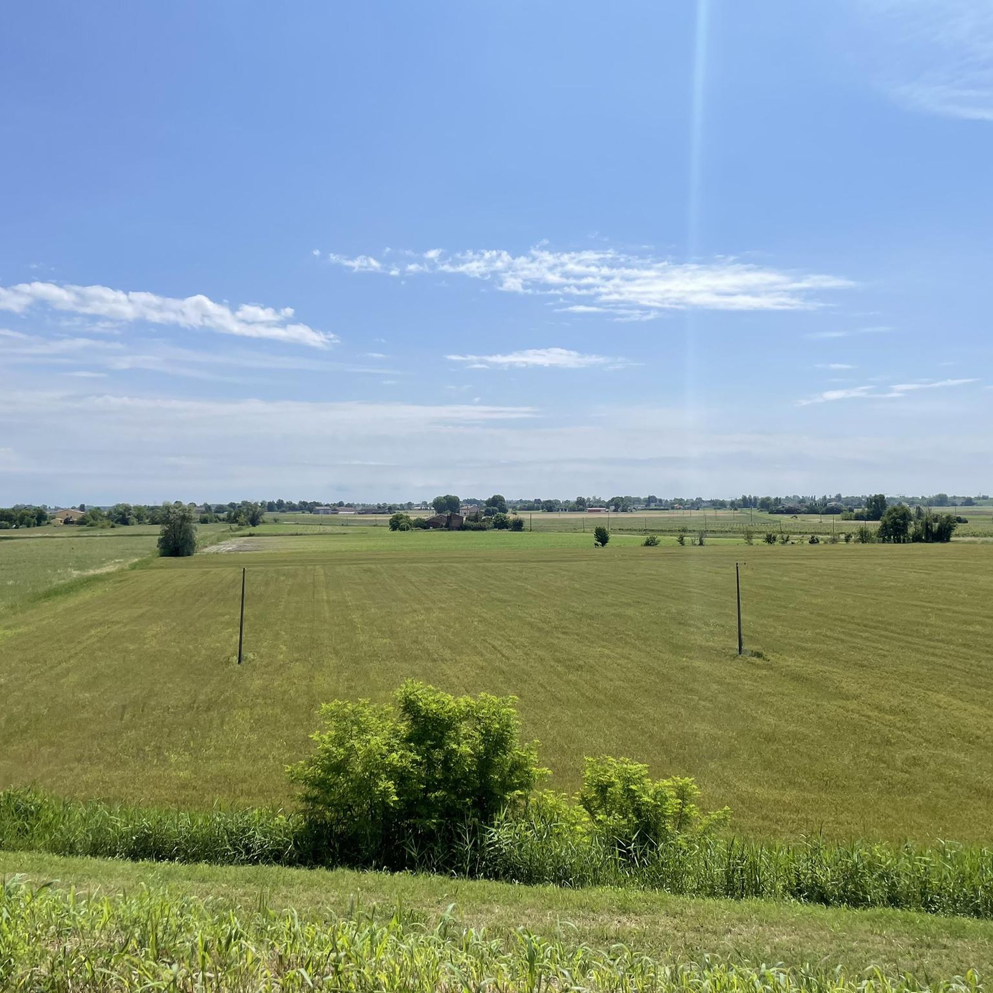
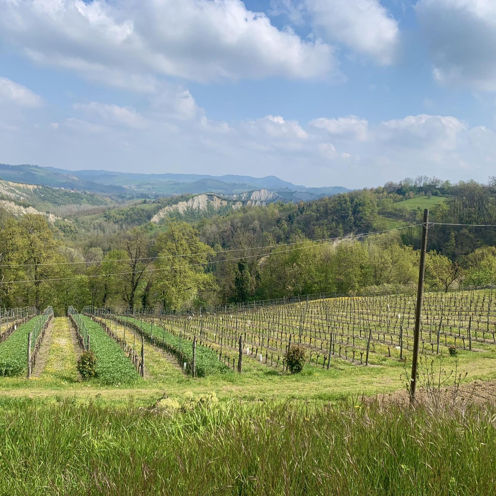
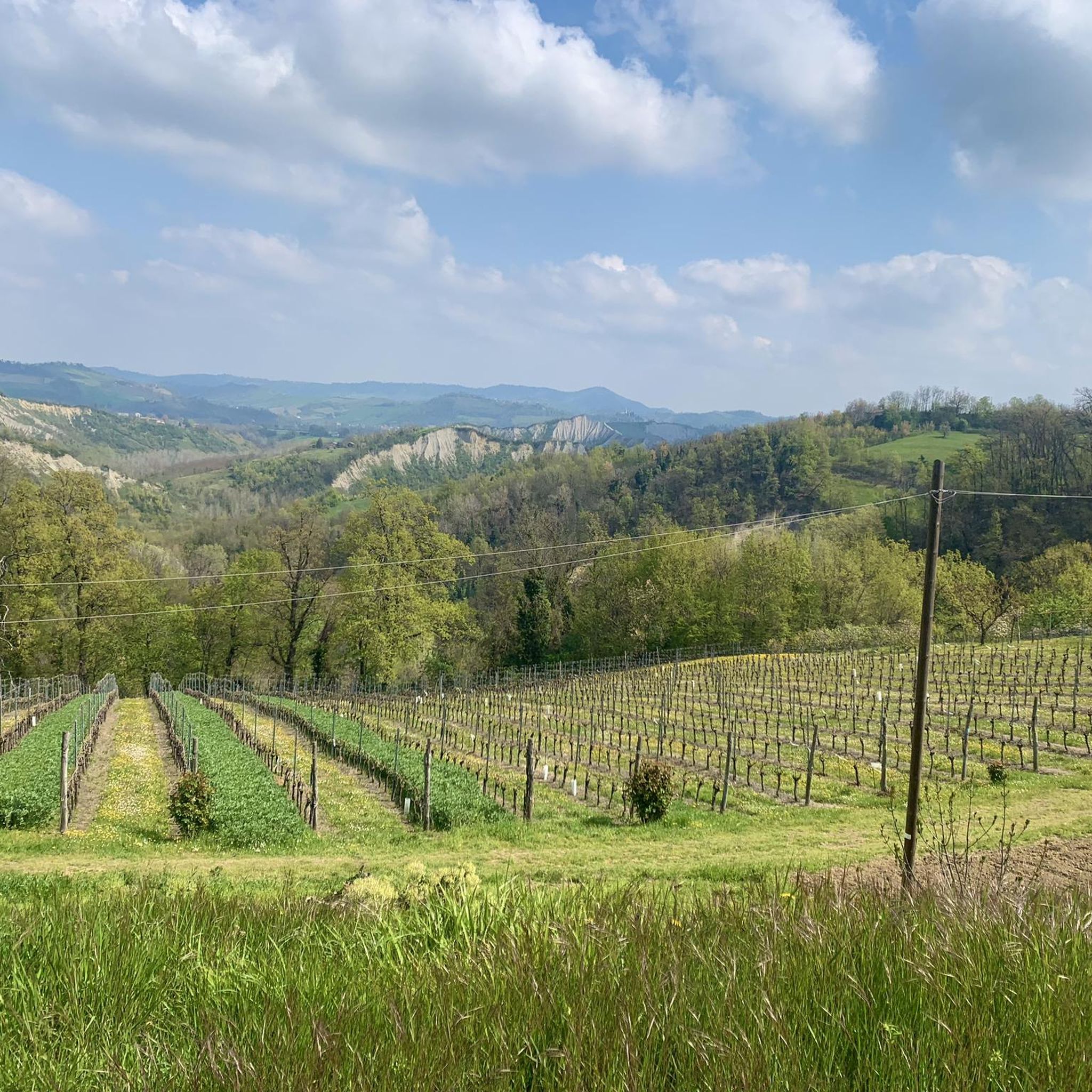

Tips from the Community

Beautiful stretch with trees on the sides
0
0

Trip to then go to San Felice sul Panaro
0
0
It joins the cycle path of the sun 200 meters further on
0
0

Let's exploit it... it's a heritage
0
0
Basket
0
0
Tables and benches
0
0
Beautiful rest area with water fountain and 220 volt electricity
0
0
Beautiful cycle path
0
0
Frequently Asked Questions
What kind of terrain can I expect on touring cycling routes around Sant'Agata Bolognese?
The touring cycling routes around Sant'Agata Bolognese are predominantly flat, situated within the Bolognese Plain. This makes them ideal for cyclists of all levels, including families. You'll find easy and enjoyable rides through rural landscapes, agricultural fields, and small villages. While the immediate area is flat, the wider Emilia-Romagna region offers more varied terrain, including rolling hills and even mountain climbs in the Apennines for those seeking a greater challenge.
Are there any family-friendly touring cycling routes in the area?
Yes, the flat terrain of the Bolognese Plain makes many routes around Sant'Agata Bolognese very suitable for families and younger cyclists. Routes like the Bike loop from Guisa Pepoli, an easy 12.5-mile (20.1 km) path, offer a relaxed pace to enjoy the local scenery without significant elevation changes.
What natural attractions can I see along the touring cycling routes?
The routes often pass through ecological balance areas and natural reserves. You can explore places like the La Bora Nature Reserve, which features a large water collection, a small forest, and a prairie area, home to protected species like white storks. Other natural highlights include the Bosco di Santa Lucia, a 30-hectare area rich in diverse tree and shrub species, and the Lamborghini Park with its 10,000 planted oak trees.
Are there any historical or cultural landmarks to visit while cycling?
Absolutely. You can cycle past historical sites such as the Former Bolognina Railway Station, which is an equipped area along the Ciclovia del Sole. The routes also lead to charming villages like San Giovanni in Persiceto, where you can visit the colorful Piazza of San Giovanni in Persiceto. Other notable landmarks in the region include the Lamborghini Museum, the Parish Church, and the intimate Bibiena Theatre.
What is the Ciclovia del Sole and how does it relate to touring cycling in Sant'Agata Bolognese?
The Ciclovia del Sole (Cycle Route of the Sun) is a significant European cycling network (Eurovelo 7) that passes directly through Sant'Agata Bolognese. This route, largely built on a former railway line, offers about 50 kilometers of cycling through rural landscapes, fields, and natural areas. Many local touring routes, such as the Old Bolognina Station – San Felice sul Panaro loop from Crevalcore, incorporate sections of the Ciclovia del Sole, providing a well-maintained and scenic cycling experience.
Are there any circular touring cycling routes available?
Yes, many touring cycling routes in the area are designed as loops, allowing you to start and end at the same point. Popular options include the Old Bolognina Station loop from Crevalcore, which covers 16.7 miles (26.8 km) through agricultural landscapes, and the Cycle path to Finale Emilia – Ciclovia del Sole loop from Crevalcore, a moderate 32.5-mile (52.2 km) ride.
What do other touring cyclists say about the routes in Sant'Agata Bolognese?
The touring cycling routes around Sant'Agata Bolognese are highly regarded by the komoot community, holding an average rating of 4.4 stars from over 400 reviews. Cyclists often praise the quiet rural landscapes, the accessibility of the flat terrain, and the well-maintained sections of the Ciclovia del Sole.
Is there public transport access to the touring cycling trails?
While specific public transport connections directly to trailheads can vary, the Ciclovia del Sole, which is central to many routes, includes an equipped area at the Former Bolognina Railway Station. This spot offers facilities for cyclists, including e-bike recharging and rest areas, suggesting it's a key access point that might be reachable via local transport options.
Where can I find parking for touring cycling routes?
Many routes start from towns like Crevalcore or Sant'Agata Bolognese itself, where public parking is generally available. For example, routes like the Malpighi Square – Old Bolognina Station loop from Crevalcore begin in areas where parking can typically be found, allowing for convenient access to the trails.
Are there places to eat or drink along the cycling routes?
Yes, as you cycle through charming villages in the Bolognese plain, you'll find opportunities to experience local cuisine. The region is renowned for its culinary delights, and many routes pass through towns where you can stop at cafes or restaurants to enjoy traditional dishes and local treats like "la brazadèla Tèndra," a local donut.
What is the best time of year to go touring cycling in Sant'Agata Bolognese?
The best time for touring cycling in Sant'Agata Bolognese is generally during the spring (April to June) and autumn (September to October). During these seasons, the weather is typically mild and pleasant, with comfortable temperatures for cycling. Summer can be quite warm in the plains, while winter might bring cooler temperatures and a higher chance of rain.
Most popular routes around Sant'Agata Bolognese
Most popular attractions around Sant'Agata Bolognese

Get inspired with the komoot mobile app


Explore more
Browse the best Cycling routes in other regions.
