The best mountain hikes around Santo Stefano Di Cadore
4.3
(23)
331
hikers
28
hikes
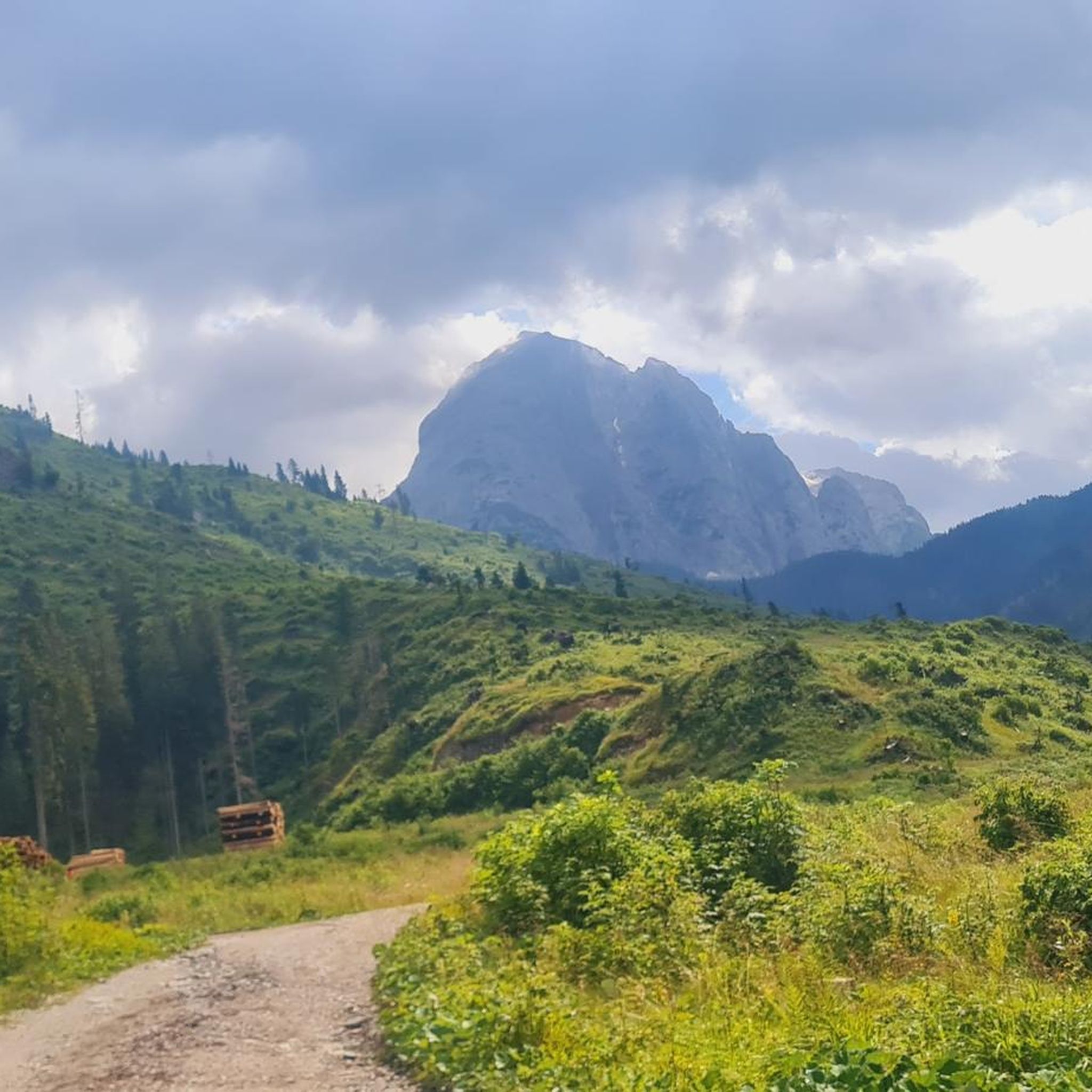
Mountaineering routes Santo Stefano Di Cadore traverse a quintessential Dolomite landscape, characterized by jagged peaks, bold towers, and bare rock walls. The region is situated in a basin where the Padola stream converges with the Piave River, encompassed by impressive mountains such as Tudaio, Crissin, Aiarnola, and Popera. Lush green forests cover gentler slopes, contrasting with the rugged high-alpine terrain. This area offers a diverse range of challenging ascents and scenic treks within the Veneto region.
Best mountaineering routes around Santo Stefano Di Cadore
- The most popular mountaineering route is World War I Memorial Cross loop from Untertilliach, a 12.6 miles (20.3 km) difficult trail that takes 7 hours 16 minutes to complete. This route offers historical insights with its connection to World War I sites.
- Another top favourite among local mountaineers is Cima Brentoni loop from Col Rementera, a difficult 6.0 miles (9.6 km) path. This route provides access to the prominent Brentoni peak, known for its rugged Dolomite scenery.
- Local mountaineers also love the Monte Bivera – Forcella del Bivera loop from Sella di Razzo, an 8.8 miles (14.2 km) trail leading through high-alpine terrain, often completed in about 6 hours 9 minutes.
- Mountaineering around Santo Stefano Di Cadore is defined by dramatic Dolomite peaks, picturesque valleys like Val Visdende, and the winding Piave River, offering routes suitable for various experience levels.
- The routes in Santo Stefano Di Cadore are highly rated by the komoot community with an average score of 4.4 stars from over 20 reviews. More than 300 mountaineers have used komoot to explore Santo Stefano Di Cadore's varied terrain.
Last updated: July 4, 2026
5.0
(6)
61
hikers
10.8km
05:32
890m
890m
Hard mountaineering route. Very good fitness required. Sure-footedness, sturdy shoes and alpine experience required.
24
hikers
20.3km
07:17
1,130m
1,130m
Hard mountaineering route. Very good fitness required. Sure-footedness, sturdy shoes and alpine experience required.

Sign up for free
24
hikers
10.0km
05:10
770m
770m
Hard mountaineering route. Very good fitness required. Sure-footedness, sturdy shoes and alpine experience required.
4.5
(2)
19
hikers
14.7km
05:37
1,010m
1,010m
Hard mountaineering route. Very good fitness required. Easily-accessible paths. Suitable for all skill levels.
15
hikers
13.9km
05:53
970m
970m
Hard mountaineering route. Very good fitness required. Sure-footedness, sturdy shoes and alpine experience required.
Get access to more routes and recommendations from other explorers.
Sign up for free
Already have an account?
Our route recommendations are based on thousands of hikes, rides, and runs completed by other people on komoot.
Start today with a free account
Your next adventure awaits.
Login or Signup
Popular around Santo Stefano Di Cadore

A trail running adventure in the Dolomites – Alta Via 6
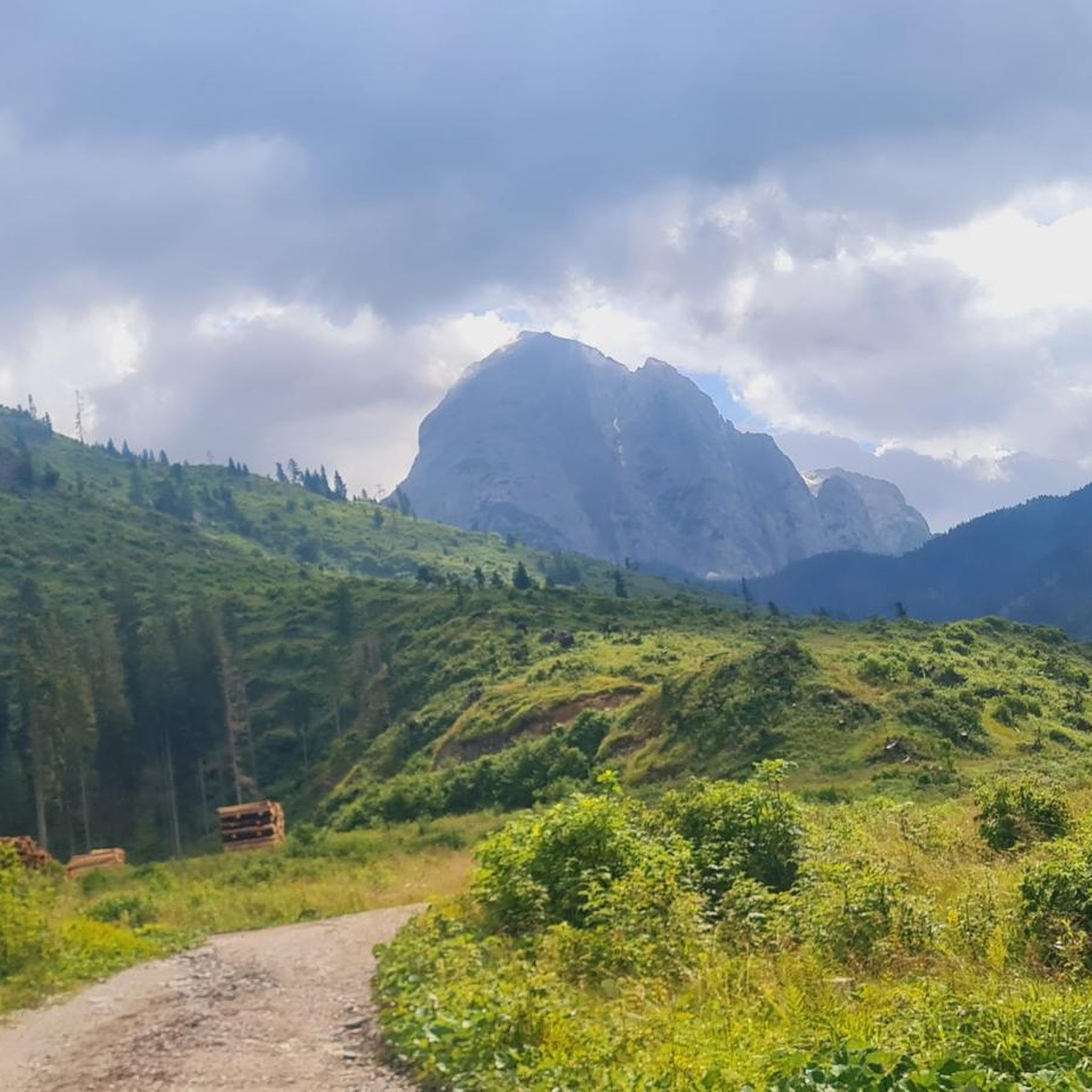
Hiking around Santo Stefano Di Cadore
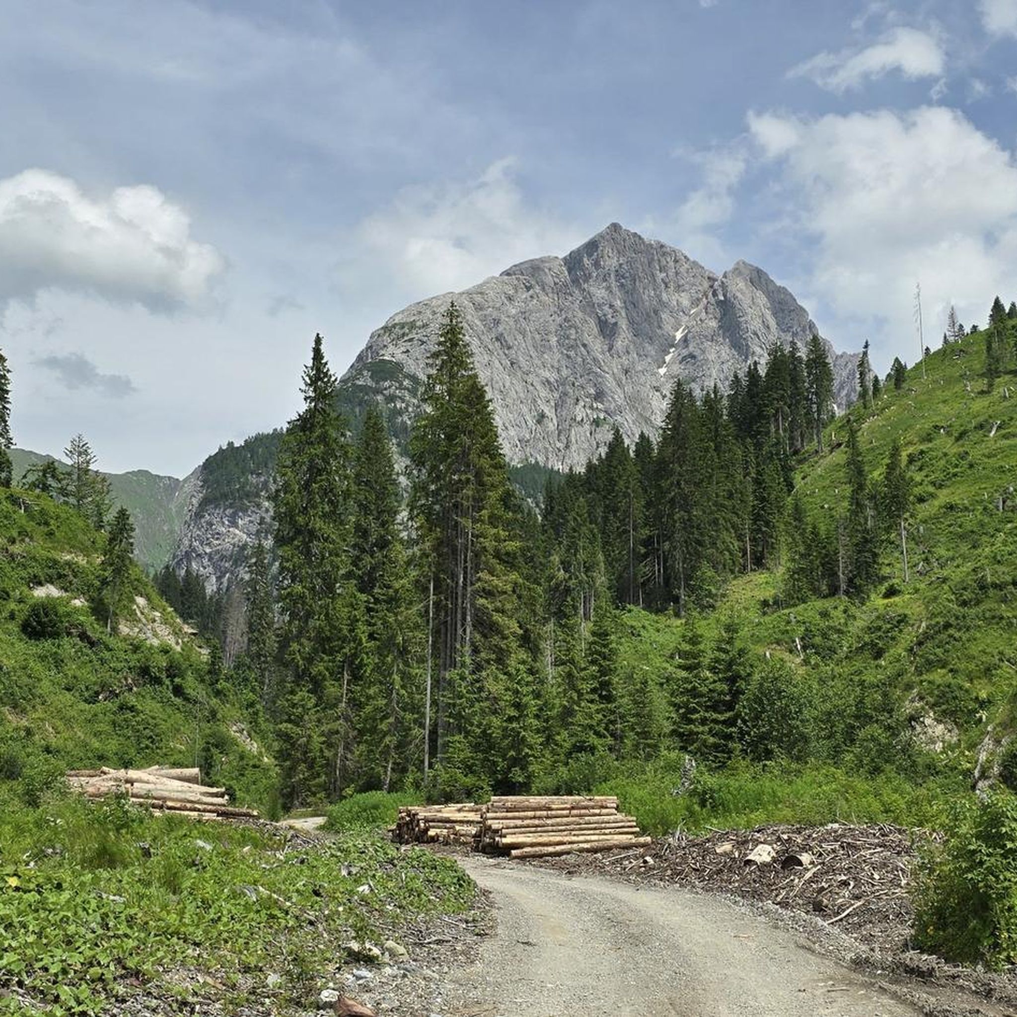
Road Cycling Routes around Santo Stefano Di Cadore
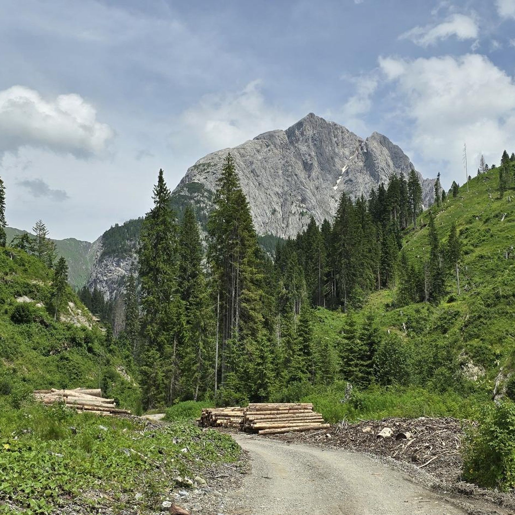
MTB Trails around Santo Stefano Di Cadore
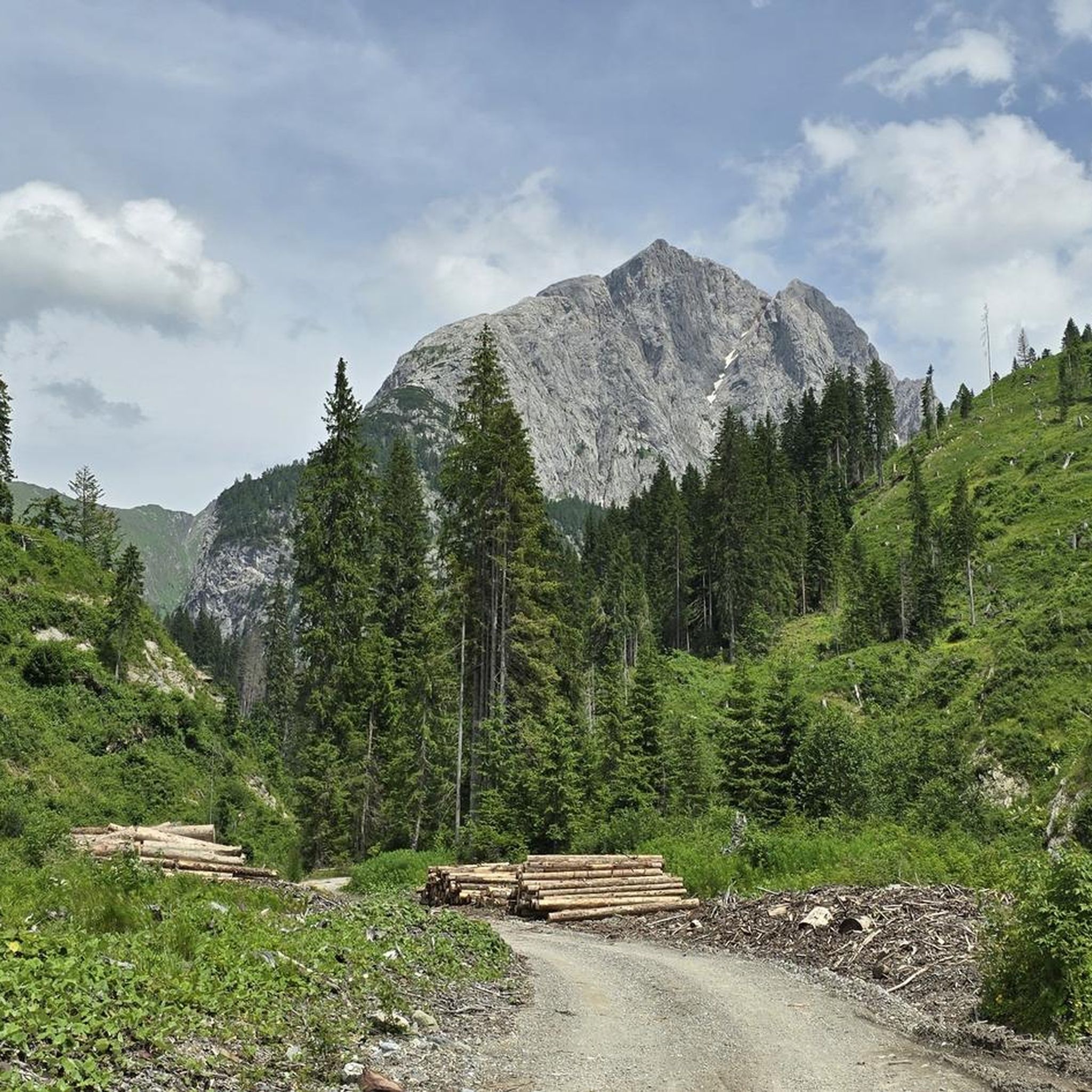
Cycling around Santo Stefano Di Cadore

Gravel biking around Santo Stefano Di Cadore
Running Trails around Santo Stefano Di Cadore
Other adventures around Santo Stefano Di Cadore

Tips from the Community

Spectacular view, very pleasant road although quite steep
2
0

Shortly before and after reaching the Tilliacher Joch/Forcella Dignas, fantastic views of the surrounding valleys and mountains offer themselves. The surroundings are enhanced by former First World War military positions.
0
0


It was very nice to be up there with the bike👍
0
0

Beautiful passage between the peaks - it goes down quite steeply in places next to the ridge path - not for beginners and people with a fear of heights
0
0

Once you've struggled up to the top, the view of the Porze, the Große Kinigat and the view down to the Porzehütte is impressive. Up here you have almost a 360 degree view.
0
0

The Tilliacher Joch was already an important crossing point in 1822, where a lively timber trade took place between the Italians and the people of Obertilliach. The timber was used at the time for fortifying Venice, for building houses and bridges, as well as for gondolas and ships. In 1915, the Tilliacher Joch was occupied by the Lesachtal Standschützen Company and the Porzescharte opposite was occupied by the Italians. The Carnic High Route has made the two crossings more important again in modern times.
2
0

Frequently Asked Questions
How many mountaineering routes are available in Santo Stefano Di Cadore?
There are over 30 mountaineering routes around Santo Stefano Di Cadore, offering a diverse range of experiences. These routes are highly rated by the komoot community, with an average score of 4.4 stars.
What are the difficulty levels of mountaineering routes in Santo Stefano Di Cadore?
The routes primarily cater to experienced mountaineers, with 21 routes classified as difficult. However, there are also 10 moderate routes available for those seeking less strenuous challenges.
What kind of landscapes can I expect on mountaineering routes around Santo Stefano Di Cadore?
Mountaineering routes in Santo Stefano Di Cadore traverse a quintessential Dolomite landscape, characterized by jagged peaks, bold towers, and bare rock walls. You'll also encounter lush green forests on gentler slopes and picturesque valleys like Val Visdende, with the winding Piave River nearby.
Are there any circular mountaineering routes in Santo Stefano Di Cadore?
Yes, several routes are designed as loops. For example, the Cima Brentoni loop from Col Rementera is a challenging 9.6 km path, and the Monte Bivera – Forcella del Bivera loop from Sella di Razzo covers 14.2 km through high-alpine terrain.
Can I find any historical points of interest along the mountaineering routes?
Yes, the region has historical significance, particularly related to World War I. The World War I Memorial Cross loop from Untertilliach is a difficult 20.3 km trail that offers insights into this period alongside its demanding terrain.
Are there any refuges available for mountaineers in the Santo Stefano Di Cadore area?
Yes, refuges serve as excellent bases for expeditions. The Giaf Hut, located on a wooded plateau, is a notable example, surrounded by typical Dolomite landscapes. Other refuges like Porze Hut and Hochweißstein Hut are also in the vicinity.
What are some notable natural attractions or landmarks to see while mountaineering?
Beyond the dramatic peaks, you can explore natural features like the Acquatona Gorge or the Forra del Rio Bordaglia Nature Trail. The area also features the Klapfsee and the winding Piave River.
What is the best time of year for mountaineering in Santo Stefano Di Cadore?
The summer months are generally ideal for mountaineering in the Dolomites, offering more stable weather conditions and access to higher alpine routes. However, always check local weather forecasts and trail conditions before heading out.
Are there any routes that offer views of lakes or water features?
Yes, the region's topography includes several water features. The Lago Bordaglia loop from Cava di Marmo "Avanza" is a difficult 13.7 km route that takes you past a beautiful lake. Another option is the Lago d'Olbe Maggiore loop from Pian delle Bombarde, a moderate 8.5 km trail.
What do other mountaineers say about the routes in Santo Stefano Di Cadore?
The mountaineering routes in Santo Stefano Di Cadore are highly rated by the komoot community, with an average score of 4.4 stars from over 20 reviews. Mountaineers often praise the dramatic Dolomite scenery, the variety of terrain, and the well-marked trails.
Are there any routes suitable for advanced mountaineers looking for a challenge?
Absolutely. With 21 difficult routes, advanced mountaineers will find plenty of challenges. Routes like the World War I Memorial Cross loop from Untertilliach (20.3 km, 1128m elevation gain) or the Monte Bivera – Forcella del Bivera loop from Sella di Razzo (14.2 km, 840m elevation gain) offer demanding terrain and significant ascents.
Is it possible to access mountaineering routes via public transport in Santo Stefano Di Cadore?
While some trailheads might be accessible by local bus services, public transport options can be limited in high-alpine regions. It's advisable to research specific route access points and local bus schedules in advance, as many routes start from more remote locations.
Where can I find parking for mountaineering trailheads in Santo Stefano Di Cadore?
Parking availability varies by trailhead. For popular routes, designated parking areas are often available near the starting points, such as at Col Rementera for the Cima Brentoni loop or Sella di Razzo for the Monte Bivera loop. Always check local signage and regulations for parking.
Most popular routes around Santo Stefano Di Cadore
Most popular attractions around Santo Stefano Di Cadore

Get inspired with the komoot mobile app


Explore more
Browse the best Mountain Hikes & Routes in other regions.
