The best walks and hikes around Vittorio Veneto
4.4
(1338)
6,697
hikers
248
hikes
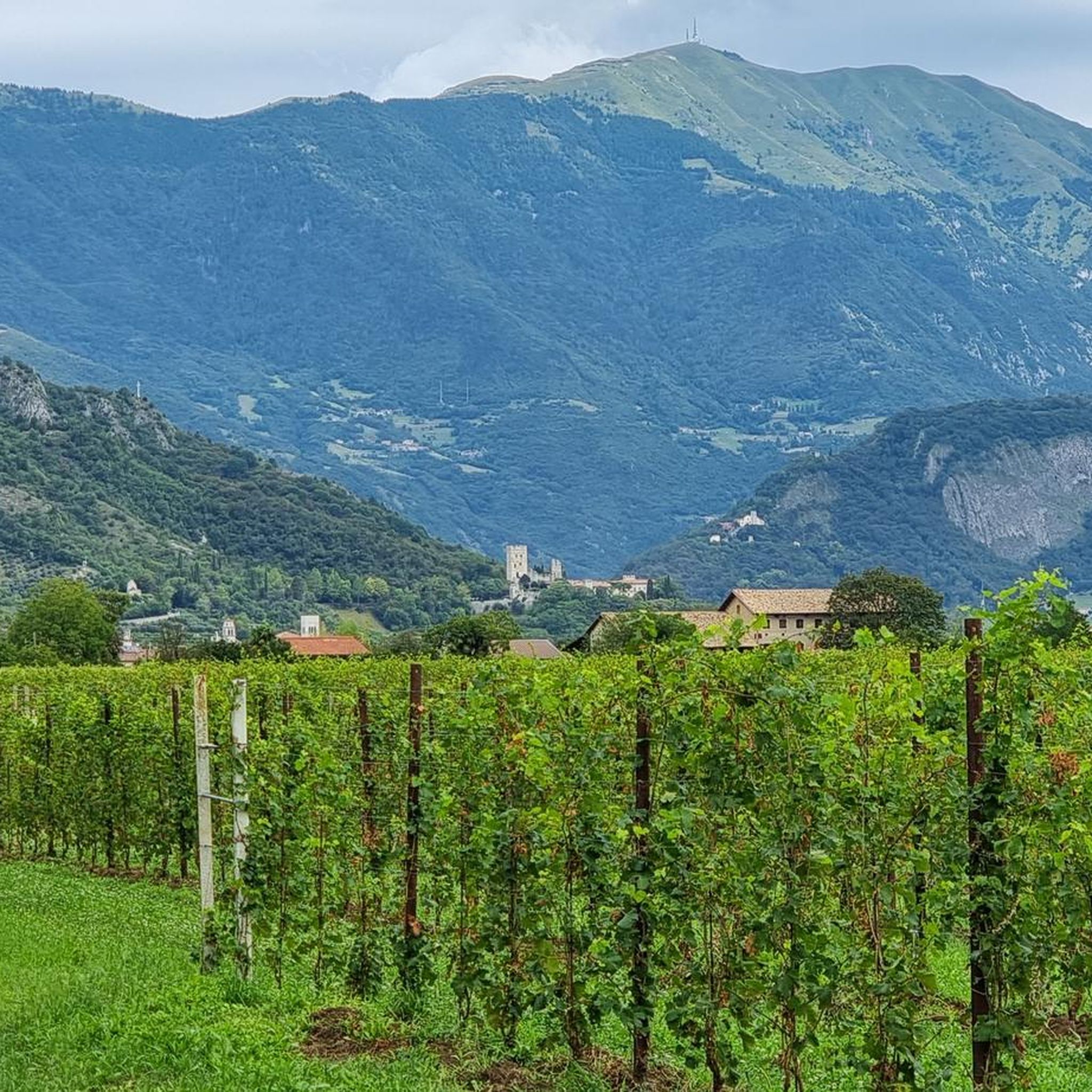
Hiking around Vittorio Veneto offers diverse landscapes, from the undulating hills of the Treviso Pre-Alps to dense forests and serene lakes. The region is characterized by a mix of lower elevations and higher peaks, providing varied terrain for outdoor activities. Trails often wind through agricultural areas, past vineyards, and into wooded valleys. This area serves as a gateway to more mountainous terrain, including the Cansiglio Plateau.
Best hiking trails in Vittorio Veneto
- The most popular hiking route is Lago Morto Loop Trail, a 2.6 miles (4.2 km) trail that takes 1 hour 7 minutes to complete. This easy route offers serene lake views and shaded paths, suitable for families.
- Another top favourite among local hikers is V2 - The Loop of the Two Hillsides, a moderate 6.9 miles (11.1 km) path. This route includes historical landmarks and significant elevation gain through the hills.
- Local hikers also love the Monte Baldo Loop from Serravalle, a 5.9 miles (9.5 km) trail leading through varied terrain, often completed in about 3 hours 27 minutes. This moderate route provides panoramic views of the surrounding area.
- Hiking around Vittorio Veneto is defined by the Treviso Pre-Alps, extensive forests, and accessible lakes. The network offers options for different ability levels, from easy family walks to more challenging routes with significant elevation.
- The routes in Vittorio Veneto are highly rated by the komoot community with an average score of 4.5 stars from over 1000 reviews. More than 5000 hikers have used komoot to explore Vittorio Veneto's varied terrain.
Last updated: October 10, 2026
4.5
(99)
512
hikers
5.44km
01:30
90m
90m
Embark on the Sentiero del Lago Morto e Laghi Blu loop trail for an easy hike through the Val Lapisina, near Vittorio Veneto. This route spans 3.4 miles (5.4 km) with a gentle elevation gain of 312 feet (95 metres), taking about 1 hour and 30 minutes to complete. You will follow a well-maintained path, much of it a gravel road shaded by pines and beeches, offering tranquil views of Lago Morto and the vibrant, artificial Laghi Blu.
This easy trail is suitable for most fitness levels, including families looking for a relaxing walk. While the path is comfortable, with small rocks and gravel, it is not recommended for strollers or prams due to the uneven surfaces. The Laghi Blu area provides picnic tables and facilities for sport fishing, making it a great spot to pause and enjoy the surroundings.
The trail offers a unique blend of natural beauty and history, as parts of it follow the ancient "Strada Regia di Alemagna." You will encounter historical elements like the Casa Rossa, a former guardian's residence, and pass through charming areas such as Borgo Piccin and Fadalto Basso. Its accessibility and diverse scenery, combined with opportunities for Nordic walking and trail running, make this route a notable choice in the region.
4.4
(90)
485
hikers
4.21km
01:07
40m
40m
Embark on an easy hike around Lago Morto, a tranquil loop that offers a refreshing escape into nature. This route spans 2.6 miles (4.2 km) with a gentle elevation gain of just 125 feet (38 metres), making it perfect for a relaxed outing. You can expect to complete the entire circuit in about 1 hour and 6 minutes, enjoying the serene atmosphere and picturesque views along the way. The path is often shaded by a mix of pine and beech trees, providing a pleasant environment for your walk.
When planning your visit, you'll find convenient parking available at Borgo Piccin Lago Morto, which serves as an ideal starting point for your adventure. The trail is generally well-marked, often following route 1044, so navigation should be straightforward. This area is also equipped with picnic spots and benches, making it a great choice if you are looking for a family-friendly activity. Consider stopping at "Chiosco Paradiso by Bepi" for refreshments during or after your hike.
As you hike, you will discover several viewpoints that offer lovely perspectives of Lago Morto, including a designated spot early in the route. A notable feature is the passage by the peaceful "Blue Lakes" (Laghi Blu), a clear oasis that adds to the scenic beauty. You can also observe the Fadalto hydroelectric power plant, providing a glimpse into the region's infrastructure. This trail is known for its calm environment, offering a quiet experience away from more strenuous routes.

4.6
(79)
282
hikers
11.1km
04:04
590m
590m
Embark on a moderate hike along V2 - The Loop of the Two Hillsides, a 6.9-mile (11.1 km) route that takes about 4 hours and 4 minutes to complete. You will experience varied landscapes as you gain 1930 feet (588 metres) in elevation. The trail winds past historic sites like the Pieve of Saint Andrew in Bigonzo and features natural wonders such as the Warm Air Hole. Expect a mix of cultural and scenic points of interest throughout your journey.
This trail is located in Vittorio Veneto, Italy, offering a convenient starting point for your adventure. General parking is typically available close to the trailhead, making access straightforward. Before you set out, always check local conditions, especially if you plan to hike during different seasons. This ensures you have the best possible experience on the route.
Beyond its scenic beauty, this loop is rich in history and culture. You will encounter several religious buildings and historical sites along the way, including the impressive Monumental Staircase leading to the Sanctuary of Santa Augusta. The route also highlights natural features like the Grotta dei Pilastrini, blending human heritage with the area's natural environment. It offers a unique perspective on the region's past and present.
4.6
(75)
262
hikers
11.1km
03:53
500m
500m
V2 - The Tour of the Two Coasts offers a moderate hiking experience, spanning 6.9 miles (11.1 km) with a significant elevation gain of 1642 feet (501 metres). You can expect to complete this journey in about 3 hours and 53 minutes, making it a solid half-day adventure. The trail guides you through a diverse landscape, transitioning from historical sites to natural viewpoints. As you hike, you will encounter the impressive Monumental Staircase leading up to the Sanctuary of Santa Augusta, a key visual landmark along the way. The route provides scenic views, including glimpses of the Coast of Fregona, allowing you to experience the changing air and vistas of the region.
Before you set out, it is always wise to check local conditions, as these can impact your experience. The trail begins near Vittorio Veneto, a town that offers accessible parking options for hikers. Given the moderate difficulty and notable elevation gain, make sure you have appropriate gear, including sturdy footwear and enough water. Planning your visit during favorable weather will enhance your enjoyment of the varied terrain and historical points of interest.
This route uniquely combines historical interest with natural beauty, offering more than just a physical challenge. The path allows you to explore a landscape that shifts between ancient structures and expansive natural vistas. It is a great way to immerse yourself in the local history and geography of the Vittorio Veneto area. The blend of cultural landmarks and scenic overlooks makes this trail a distinctive option for those looking for a rich hiking experience.
4.5
(56)
173
hikers
9.47km
03:27
430m
430m
Embark on the Monte Baldo Loop from Serravalle, a moderate hiking route that spans 5.9 miles (9.5 km). You will experience a diverse landscape, transitioning from Mediterranean-like vegetation to dense evergreen forests as you ascend. The trail presents geological formations of limestone and dolomite, creating dramatic scenery throughout your journey. Expect to gain 1398 feet (426 metres) in elevation, with panoramic views unfolding from various points along the way. This loop typically takes about 3 hours and 27 minutes to complete, offering rewarding vistas, including expansive views from the Terrazza degli Artiglieri (Monte Cucco).
To begin your hike, head to Serravalle, a town located within Vittorio Veneto, where the loop trail starts. You can usually find parking conveniently located in or near the town center. Before setting out, it is always wise to check local conditions, especially regarding the weather, to ensure a safe and enjoyable experience. Make sure to wear appropriate footwear, as the varied terrain requires good support and grip.
This trail is notable for its unique ecological transition, showcasing how the landscape shifts from Mediterranean flora to more alpine evergreen forests. The dramatic geological features, composed of limestone and dolomite, add a distinct character to the route. As you hike, you will encounter several points that provide expansive views of the surrounding mountains and lowlands, making it a rewarding choice for those who appreciate diverse natural environments.
Get access to more routes and recommendations from other explorers.
Already have an account?
Our route recommendations are based on thousands of hikes, rides, and runs completed by other people on komoot.
Start today with a free account
Your next adventure awaits.
Popular around Vittorio Veneto
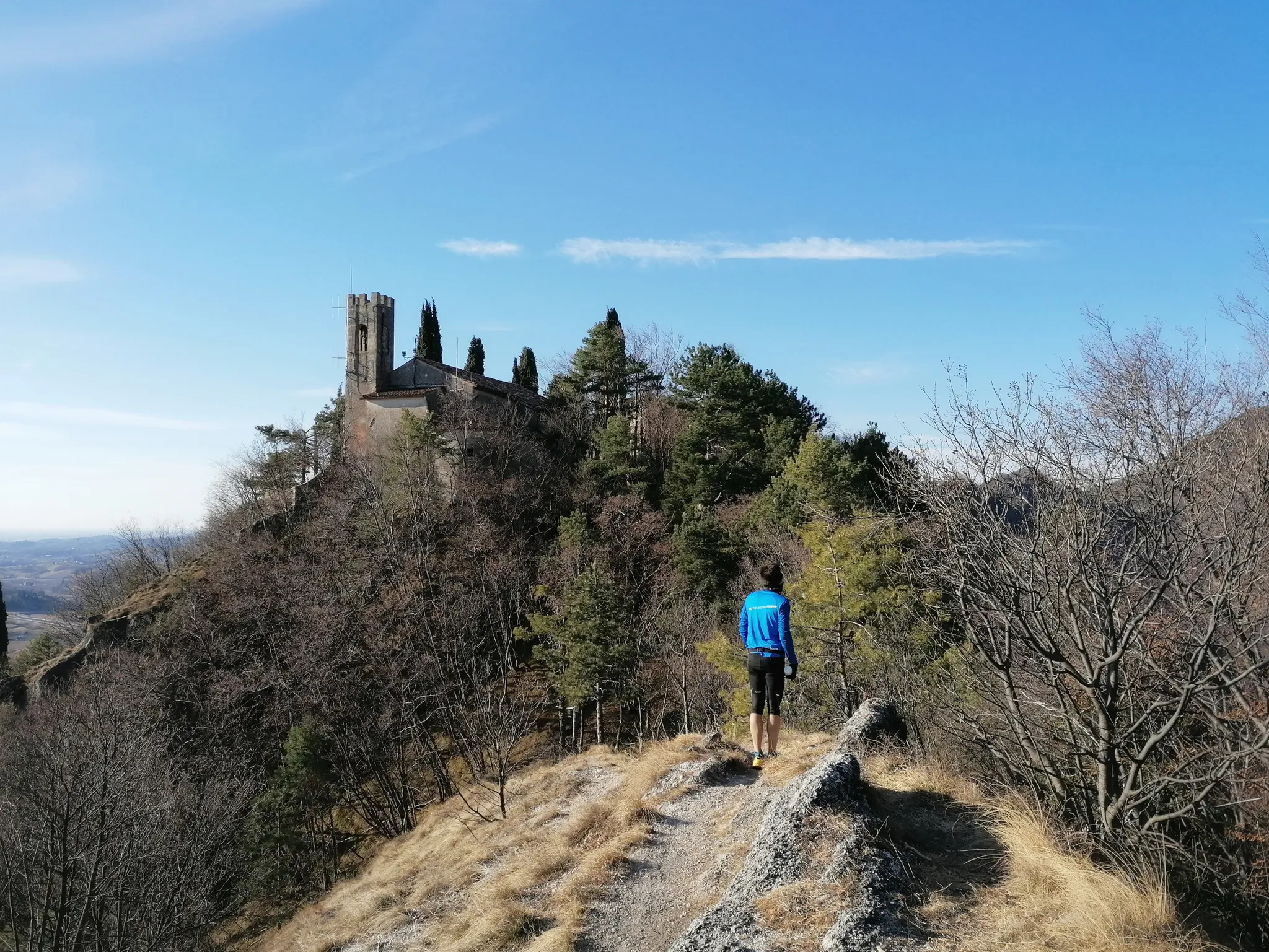
800 years of history from Gemona to Padua – Cammino di Sant'Antonio
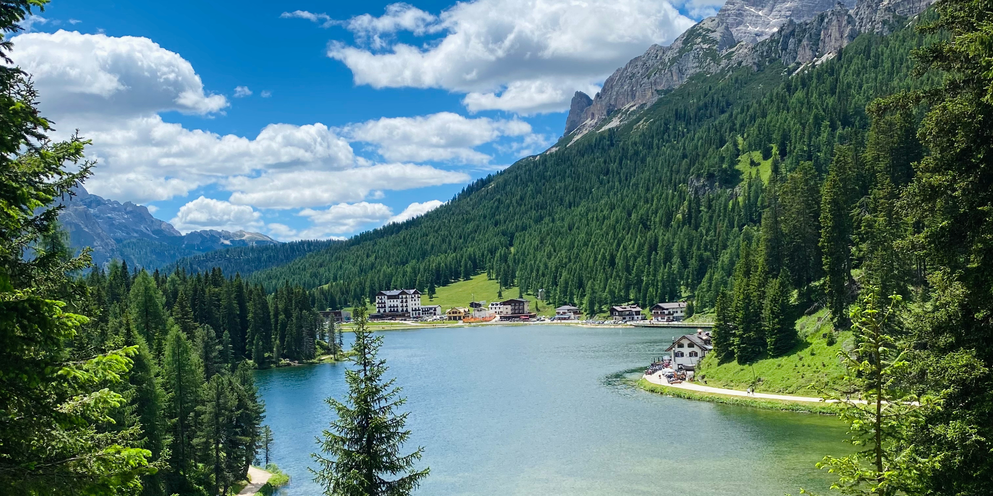
Cycling from sea to mountains – Venice to Cortina d'Ampezzo
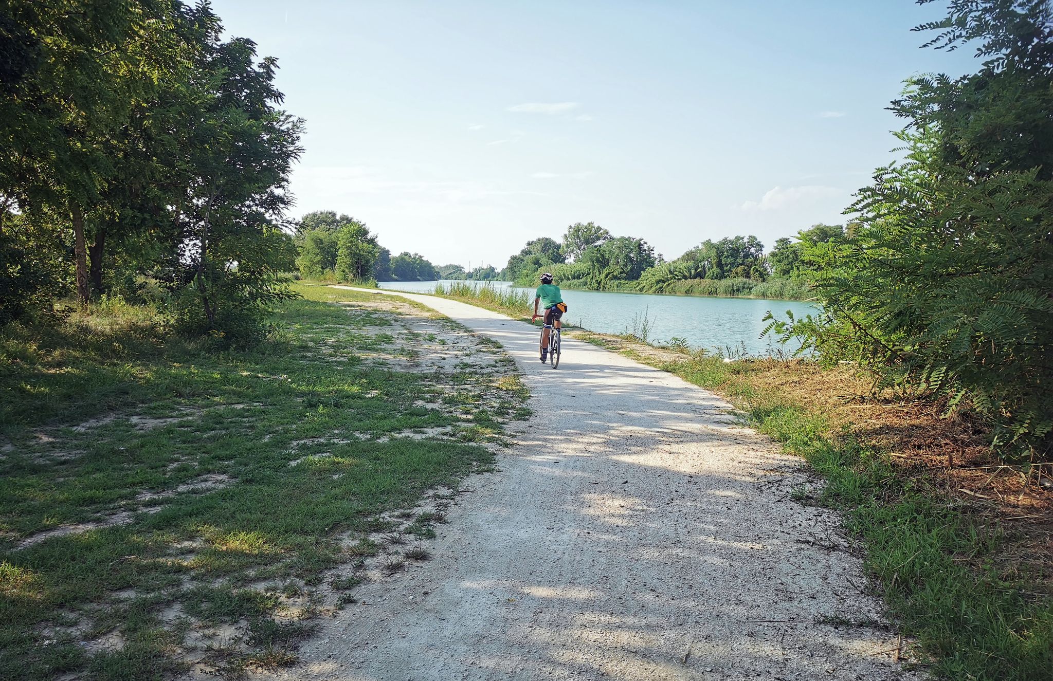
Italian Gravel – up and down dirt roads in Veneto
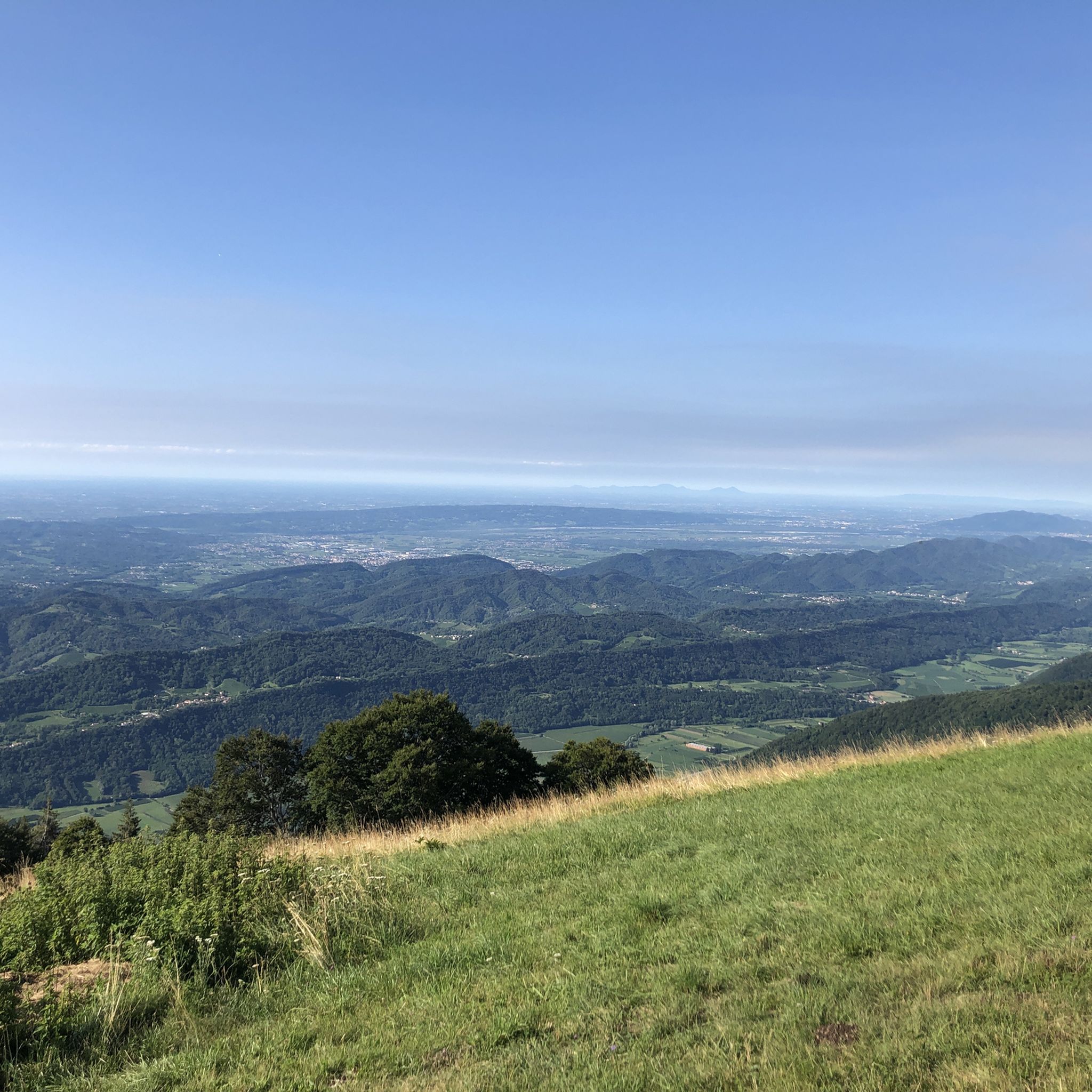
MTB Trails around Vittorio Veneto
Road Cycling Routes around Vittorio Veneto
Cycling around Vittorio Veneto
Running Trails around Vittorio Veneto
Gravel biking around Vittorio Veneto

Mountain Hikes around Vittorio Veneto
Other adventures around Vittorio Veneto


Tips from the Community

Nice place with a historic atmosphere.
1
0
Beautiful city gate
1
0

The staircase of Sant’Augusta is a pedestrian path that, starting from Via Calcada, behind the Duomo of Serravalle, leads to the Sanctuary of the same name. It is a monumental work built in the thirties of the last century, with a symmetrical double-ramp staircase, in the center of which a fountain indicates the axis of development. The staircases and landings are bordered by railings made of cement grit. The double flight of stairs ends with a wall section with arches that allow passage to the destination at altitude, and at the same time create an architectural element for closing and delimiting the first part of the path. After this first starting section, the devotional path develops into a stretch of simple, narrow, and sudden hairpin bends, where the "Codolà" (pebbles) pavement is contained downstream by a wooden fence and upstream by the sloping ground. At the steepest points, masonry elements in rubble masonry contain the natural terrain. Over the years, this part of the path has been affected by uncontrolled vegetation growth, which has caused damage to the walking surface. The long stretch of path upstream of the staircase is characterized by linear sections interrupted by three full-width steps made of red stone monoblocks, concluding with a final staircase in view of the Sanctuary.
1
0

Monte Baldo di Tarzo, reaching an altitude of 599 meters, is a panoramic ridge that towers above the village of Nogarolo and the lakes of Revine. Despite its modest altitude, its strategic position offers a 360-degree view stretching from the Venetian Lagoon to the Dolomite peaks. Characterized by summit meadows and chestnut woods, the mountain is an ideal destination for trekking and mountain biking thanks to trails that ascend from the 225 meters of the lakes below. This place combines nature and history, preserving traces of ancient rural traditions and offering a regenerating solitude to those seeking direct contact with the pre-Alpine landscape and its unspoiled beauty.
0
0

excellent in winter for the sunny exposure and the view
0
0

Simple, shaded path, also suitable for small children
0
1

A long avenue lined with cypress trees leads to the Pieve di Sant'Andrea di Bigonzo, isolated in a clearing that once served as a cemetery. The term pieve indicates an early church, equipped with a baptistery, which was responsible for the Christianization of a territory, and this corresponds to the foundation of Sant'Andrea in the 4th or 5th century, at the time of the martyrdom of Saint Augusta. The building in question was however rebuilt in Romanesque style and consecrated in 1303 with great prominence in the chronicles of the time. The façade has a five-lobed rose window in the center and two sepulchral canopies. On the south side stands the 17th-century bell tower while opposite is a small Renaissance portico. The interior, very suggestive, has a single nave covered by trusses, with four elegant canopies at the corners. The decorative set is noteworthy: frescoes mostly from the 15th and 16th centuries (Antonello da Serravalle, Francesco da Milano, Palma); sculptures (baptismal font with monolithic basin from the 11th century, two wooden crucifixes from the 14th and 15th centuries, a Renaissance altar with Saint Catherine), wooden tabernacle and polyptych from the Titian school; paintings attributed to Palma the Younger (1548-1628) and Francesco Frigimelica (ca. 1560-1649). Extract from «Vittorio Veneto e le Prealpi Trevigiane»
0
0
Frequently Asked Questions
How many hiking trails are available in Vittorio Veneto?
Vittorio Veneto offers a wide variety of hiking opportunities, with over 220 routes recorded on komoot. These range from easy strolls to more challenging treks, catering to all experience levels.
What do other hikers enjoy most about hiking in Vittorio Veneto?
The area is highly rated by the komoot community, with an average score of 4.5 stars from over 1000 reviews. Hikers often praise the diverse landscapes, from serene lake views to panoramic mountain vistas, and the well-maintained trails that blend nature with historical interest.
What are the general difficulty levels of hikes in the Vittorio Veneto area?
The hiking trails around Vittorio Veneto offer a good mix of difficulties. You'll find approximately 78 easy routes, 116 moderate routes, and 29 more difficult trails, ensuring options for beginners and experienced hikers alike.
When is the best time of year to go hiking in Vittorio Veneto?
The Treviso Pre-Alps region around Vittorio Veneto is generally pleasant for hiking from spring through autumn. Spring brings lush greenery and wildflowers, while autumn offers vibrant foliage. Summer is also popular, especially for higher elevation trails, though lower routes might be warmer. Winter hiking is possible, particularly on lower trails, but requires appropriate gear and checking conditions.
Are there any family-friendly hiking options in Vittorio Veneto?
Yes, Vittorio Veneto has several easy routes suitable for families. A great option is the Lago Morto Loop Trail, an easy 2.6-mile (4.2 km) path offering serene lake views and shaded sections, perfect for a relaxed outing.
Can I hike with my dog in Vittorio Veneto?
Many trails in the Vittorio Veneto area are dog-friendly, allowing you to explore the diverse landscapes with your canine companion. It's always recommended to keep dogs on a leash, especially in nature reserves or areas with livestock, and to carry waste bags.
Are there circular hiking routes available in Vittorio Veneto?
Yes, many trails in the region are designed as circular routes, allowing you to start and end at the same point. Examples include the Sentiero del Lago Morto e Laghi Blu – loop trail and the Monte Baldo Loop from Serravalle, which offers panoramic views.
Are there any trails that feature lakes or water views?
Absolutely. The region is dotted with beautiful lakes. The Lago Morto Loop Trail is a prime example, offering tranquil lake views. Other nearby lakes include Lake Santa Croce and the Laghi di Revine, which provide scenic backdrops for walks.
What kind of natural landscapes can I expect to see while hiking?
Vittorio Veneto's hiking trails traverse incredibly varied landscapes. You'll encounter the undulating hills of the Treviso Pre-Alps, dense forests, picturesque valleys, and open meadows. The nearby Cansiglio Plateau, just a 20-minute drive away, offers expansive ancient beech and fir forests, providing a different natural experience.
Are there historical sites or landmarks to explore on the trails?
Many trails in Vittorio Veneto offer a blend of nature and history. You can find relics from the Great War, ancient hermitages, and charming medieval villages. The path to the Sanctuary of Santa Augusta on Mount Marcantone provides panoramic views and historical significance. The V2 - The Loop of the Two Hillsides also includes historical landmarks.
Are there options for more challenging or advanced hikes?
Yes, for those seeking a greater challenge, Vittorio Veneto offers several difficult routes, totaling around 29 trails. These often involve significant elevation gain and longer distances, such as routes leading into the higher peaks of the Treviso Pre-Alps or towards the Cansiglio Plateau, providing a more strenuous workout.
Where can I find parking for hiking trails in Vittorio Veneto?
Parking is generally available at or near many popular trailheads and points of interest around Vittorio Veneto. Specific parking information can often be found on local tourism websites or within komoot tour descriptions. For trails starting in towns like Serravalle, public parking lots are usually accessible.
Are there any places to eat or rest along the trails?
Yes, the region is well-equipped for hikers. Many trails feature refuges, picnic areas, or small trattorias where you can rest and enjoy local Treviso cuisine. In towns like Vittorio Veneto itself, you'll find numerous cafes and restaurants to refuel before or after your hike.
Most popular routes around Vittorio Veneto
Most popular attractions around Vittorio Veneto

Get inspired with the komoot mobile app


Explore more
Browse the best Hikes in other regions.
