The best road cycling routes around St. Veit an der Gölsen
4.3
(125)
4,059
riders
21
rides
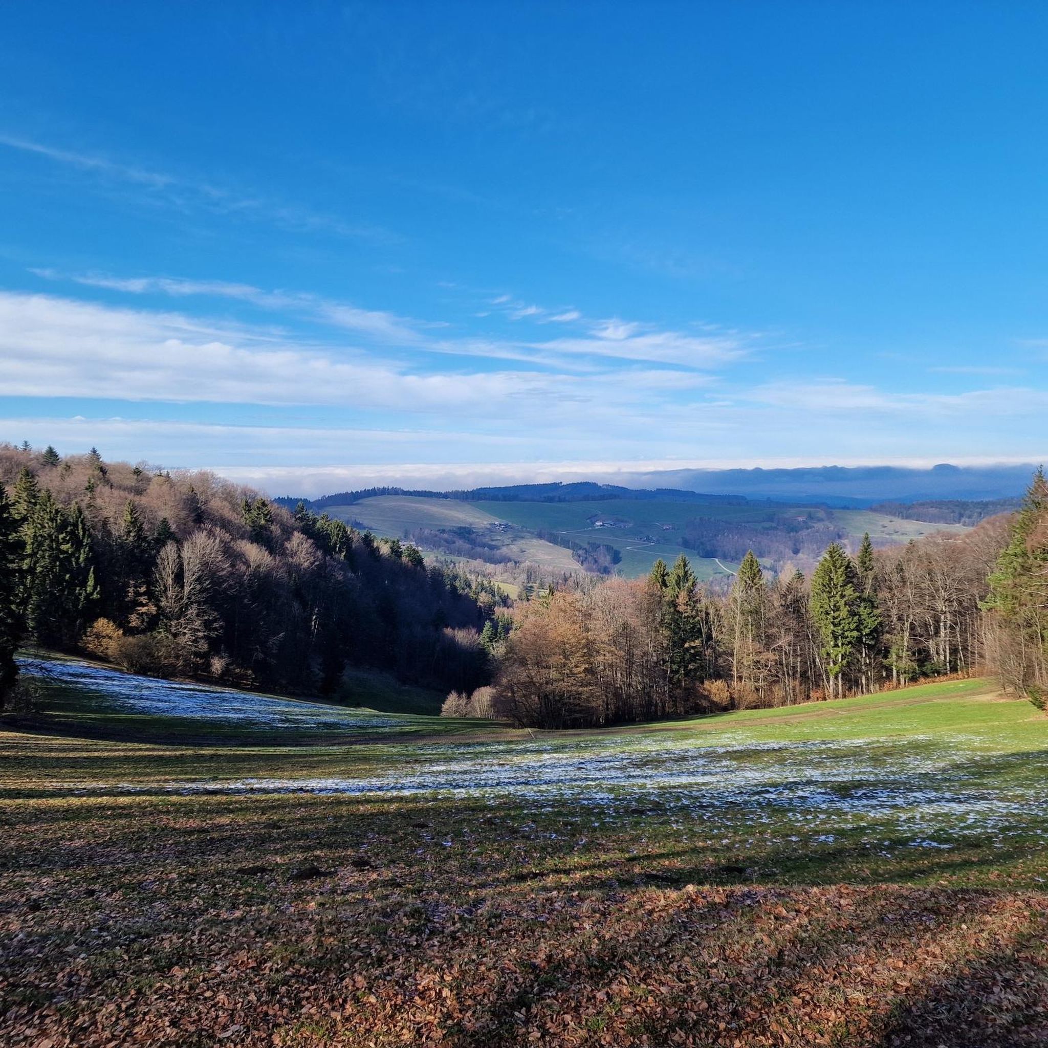
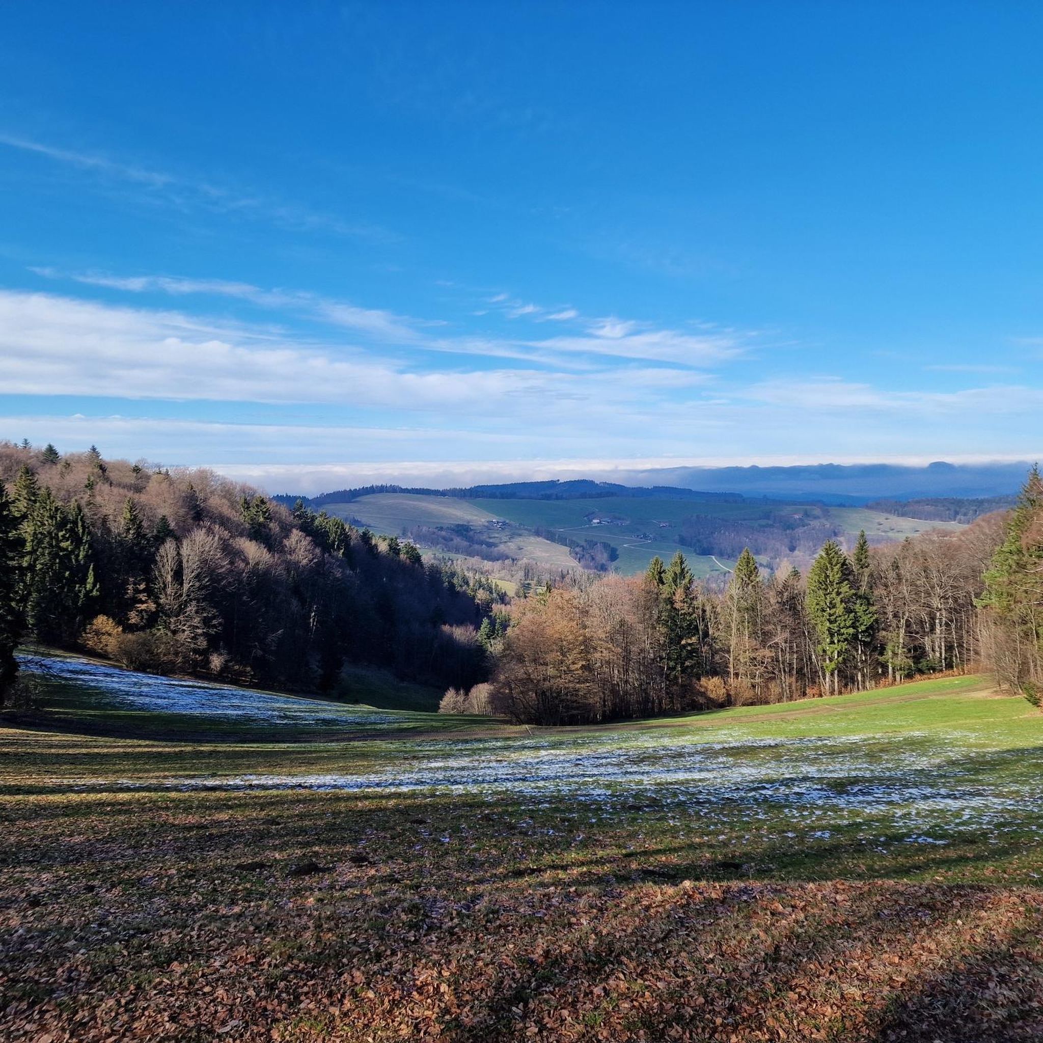
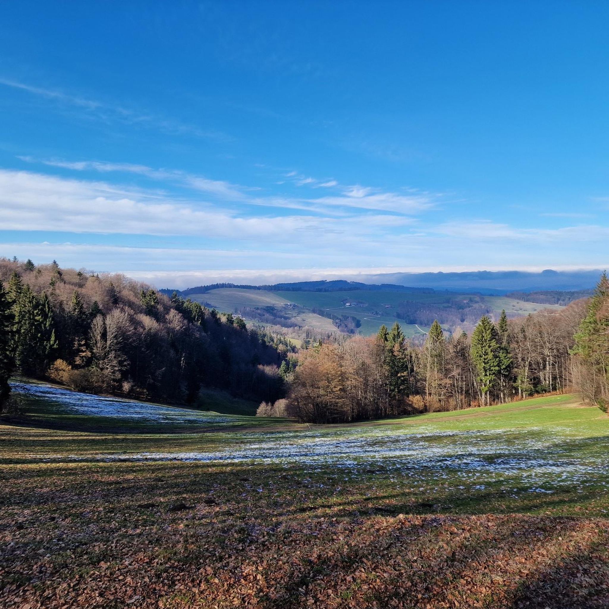
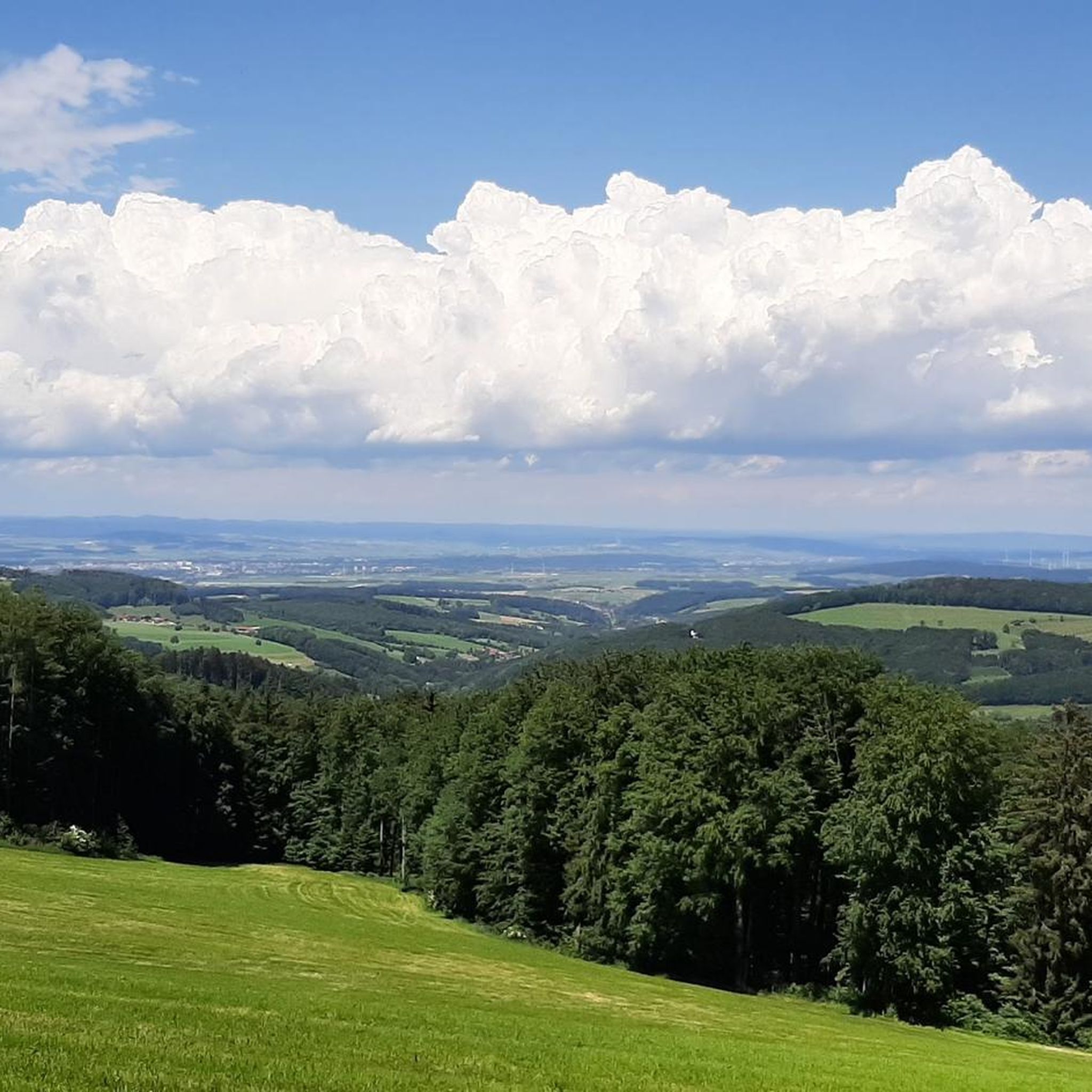
Road cycling around St. Veit an der Gölsen offers a diverse landscape situated between the Vienna Woods and the foothills of the Alps. The region features rolling hills and mountains, with elevations providing varied terrain for different cycling preferences. The Gölsental Valley provides gentler routes along river paths, while other areas present more significant climbs. This topography ensures a mix of scenic experiences, from wooded hills to open, mountainous vistas.
Best road cycling routes around St. Veit an der Gölsen
- The most popular road cycling route is Ochsenburg Castle – St. Pölten loop from St. Veit an der Gölsen, a 32.6 miles (52.4 km) trail that takes 2 hours 9 minutes to complete, offering moderate climbs.
- Another top favourite among local road cyclists is Annaberg Pass (976 m) – Kernhofer Gscheid Climb loop from Wiesenfeld-Schwarzenbach, a difficult 59.6 miles (95.8 km) path featuring significant elevation gain.
- Local road cyclists also love the Parish Church of St. Veit – Dürrholzer Kreuz loop from St. Veit an der Gölsen, a 27.9 miles (44.9 km) trail leading through varied terrain, often completed in about 2 hours 6 minutes.
- Road cycling around St. Veit an der Gölsen is defined by rolling hills, river valleys, and the foothills of the Alps. The network offers options for different ability levels, from gentle valley rides to challenging mountain ascents.
- The routes in St. Veit an der Gölsen are highly rated by the komoot community with an average score of 4.1 stars from 30 reviews. More than 800 road cyclists have used komoot to explore St. Veit an der Gölsen's varied terrain.
Last updated: July 1, 2026
4.1
(22)
351
riders
52.5km
02:09
210m
210m
Moderate road ride. Good fitness required. Some segments of this route may be unpaved and difficult to ride.
114
riders
95.8km
04:29
1,170m
1,170m
Hard road ride. Very good fitness required. Mostly well-paved surfaces and easy to ride.

Sign up for free
4.3
(8)
108
riders
Moderate road ride. Good fitness required. Mostly well-paved surfaces and easy to ride.
87
riders
61.1km
03:05
940m
940m
Hard road ride. Very good fitness required. Mostly well-paved surfaces and easy to ride.
4.0
(1)
35
riders
Moderate road ride. Good fitness required. Mostly well-paved surfaces and easy to ride.
Get access to more routes and recommendations from other explorers.
Sign up for free
Already have an account?
Our route recommendations are based on thousands of hikes, rides, and runs completed by other people on komoot.
Start today with a free account
Your next adventure awaits.
Login or Signup

Tips from the Community

beautiful MTB trail with wonderful views
0
0
would be great if it worked!
0
0
beautiful MTB trail with great views
0
0
scenic route to Tarschberg
0
0
The route over the Ehrenecker Höhe is recommended
0
0
super connection from or to Plambaheck
0
0

Magnificent cycle path in beautiful landscape
0
0
pleasant, easy connection from St. Pölten to LF
0
0
Frequently Asked Questions
How many road cycling routes are available in St. Veit an der Gölsen?
There are over 20 road cycling routes around St. Veit an der Gölsen, offering a diverse range of experiences for cyclists. These routes are highly rated by the komoot community, with an average score of 4.1 stars.
What is the general difficulty level of road cycling routes in this region?
The routes around St. Veit an der Gölsen cater to various skill levels. You'll find 1 easy route, 9 moderate routes, and 11 difficult routes, ensuring options for both relaxed rides along river paths and challenging ascents in the foothills of the Alps.
What kind of landscape can I expect while road cycling around St. Veit an der Gölsen?
The region offers a diverse landscape, nestled between the Vienna Woods and the foothills of the Alps. You can expect rolling hills, mountains, and the gentle river paths of the Gölsental Valley. This mix provides varied terrain, from wooded hills to open, mountainous vistas, ensuring scenic experiences throughout your ride.
Are there scenic viewpoints or natural features to discover along the routes?
Yes, the area is rich in natural beauty and offers several impressive viewpoints. You can find highlights such as the Reisalpe Summit, offering panoramic views, or the Gföhlberg Summit. Other notable features include the Karlstein Rock Formation and the tranquil Small Schleierfall waterfall.
Are there any challenging road cycling routes for experienced riders?
Absolutely. For experienced riders seeking a challenge, the region offers several difficult routes with significant elevation gain. A notable option is the Annaberg Pass (976 m) – Kernhofer Gscheid Climb loop from Wiesenfeld-Schwarzenbach, which spans 95.8 km and features substantial climbs.
Can I find routes that include mountain huts or refreshment stops?
Yes, many routes in the region pass by or lead to welcoming mountain huts and refreshment stops. The Reisalpenhaus on the Reisalpe summit is a popular stop, as are the Traisner Hut on the Hinteralm and the Lilienfelder Hut, all offering good food and impressive views.
Are there any moderate-difficulty loop routes suitable for a half-day ride?
For a moderate half-day ride, consider the Parish Church of St. Veit – Dürrholzer Kreuz loop from St. Veit an der Gölsen. This 44.9 km trail leads through varied terrain and can typically be completed in about 2 hours and 6 minutes, offering a rewarding experience without being overly strenuous.
What is a good route for exploring the area around St. Veit an der Gölsen with moderate climbs?
The Ochsenburg Castle – St. Pölten loop from St. Veit an der Gölsen is an excellent choice. This 52.4 km route takes approximately 2 hours and 9 minutes to complete and features moderate climbs, allowing you to enjoy the scenery without excessive difficulty.
Are there any routes that offer views of the Danube Valley?
Yes, some routes provide stunning views towards the Danube Valley. The Parish Church of Ramsau – Parish Church of St. Veit loop from Wiesenfeld-Schwarzenbach, mentioned in the region research, is known for its scenic views across the Danube Valley towards the Waldviertel, offering a picturesque backdrop for your ride.
What is the best time of year for road cycling in St. Veit an der Gölsen?
The region's diverse landscape, with elevations ranging from 369 to 1,399 meters, means that spring through autumn generally offers the best conditions for road cycling. During these seasons, you can enjoy pleasant temperatures and the full beauty of the rolling hills and mountainous vistas.
Are there any routes that offer significant descents for a thrilling ride?
For those who enjoy exhilarating descents, the Scenic Bypass – Descent from Tradigist loop from Traisen is a great option. This difficult 59.2 km route includes a substantial descent, providing an exciting element to your road cycling adventure.
Can I find routes that connect to nearby towns or landmarks?
Yes, several routes connect to or pass by notable towns and landmarks. For example, the Parish Church of St. Veit – Ochsenburg Castle loop from St. Veit an der Gölsen is a moderate 55.7 km route that allows you to explore the area between these points of interest.
Most popular routes around St. Veit an der Gölsen
Most popular attractions around St. Veit an der Gölsen

Get inspired with the komoot mobile app


Explore more
Browse the best Road cycling routes in other regions.
