The best road cycling routes around Domegge Di Cadore
4.5
(111)
3,723
riders
57
rides
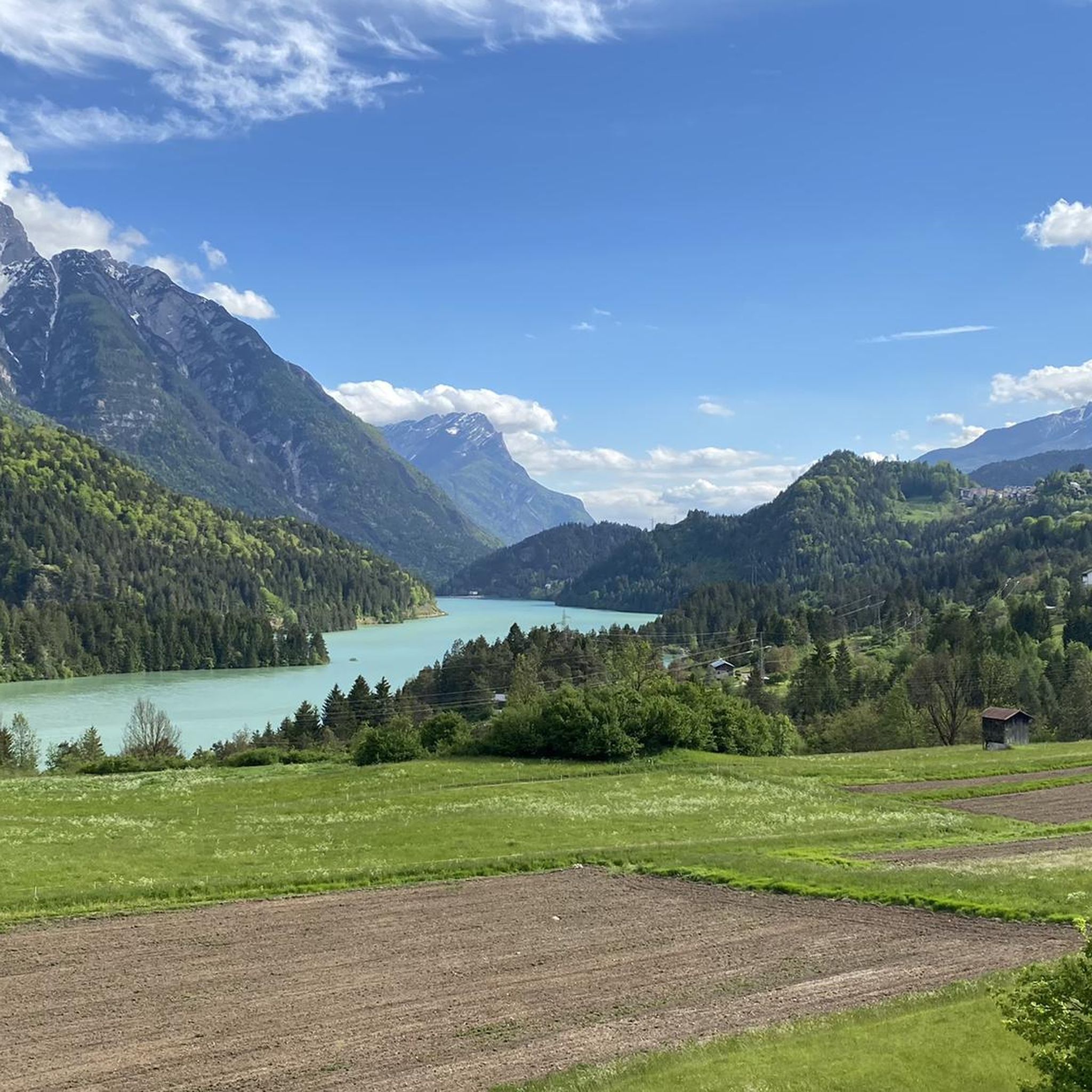
Road cycling routes around Domegge Di Cadore are set within the dramatic Dolomite landscape, characterized by jagged peaks, bold towers, and verdant forests. The region's terrain includes challenging mountain passes and offers sweeping panoramic views. Situated on the right bank of the River Piave, adjacent to Lake Centro Cadore, the area provides diverse routes that incorporate waterside views and significant elevation changes. This makes it a prime destination for road cyclists seeking both scenic beauty and demanding climbs.
Best road…
Last updated: August 28, 2026
4.4
(8)
543
riders
118km
07:13
3,160m
3,160m
Hard road ride. Very good fitness required. Mostly well-paved surfaces and easy to ride.
4.8
(4)
215
riders
99.1km
04:45
1,310m
1,320m
Hard road ride. Very good fitness required. Mostly well-paved surfaces and easy to ride.

Sign up for free
4.9
(10)
71
riders
Hard road ride. Very good fitness required. Mostly well-paved surfaces and easy to ride.
5.0
(3)
77
riders
Hard road ride. Very good fitness required. Mostly well-paved surfaces and easy to ride.
4.3
(7)
138
riders
96.5km
04:32
1,210m
1,210m
Hard road ride. Very good fitness required. Mostly well-paved surfaces and easy to ride.
Get access to more routes and recommendations from other explorers.
Sign up for free
Already have an account?
Our route recommendations are based on thousands of hikes, rides, and runs completed by other people on komoot.
Start today with a free account
Your next adventure awaits.
Login or Signup
Popular around Domegge Di Cadore
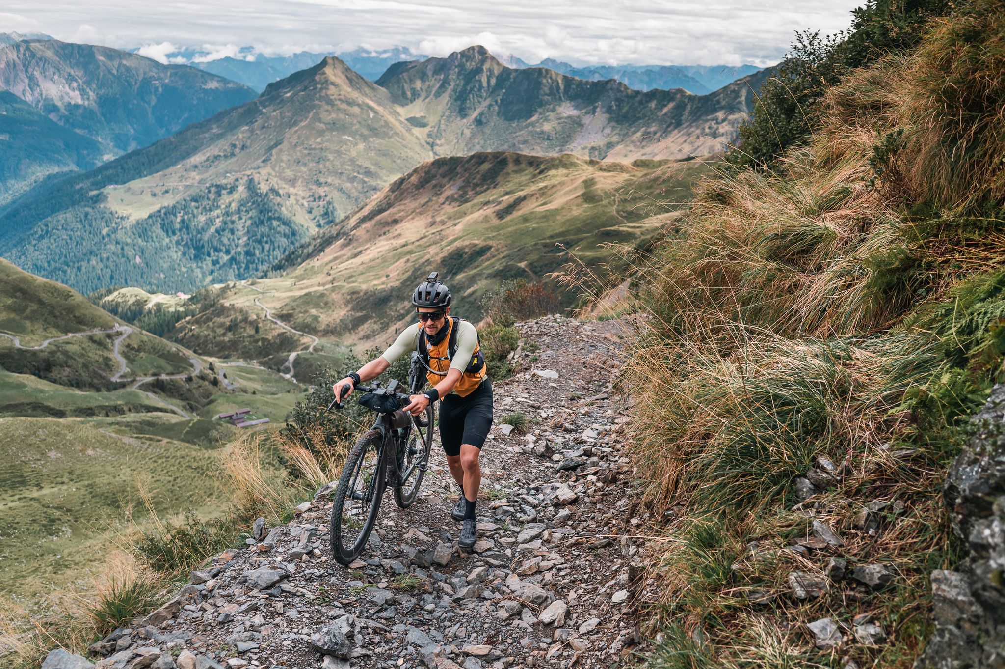

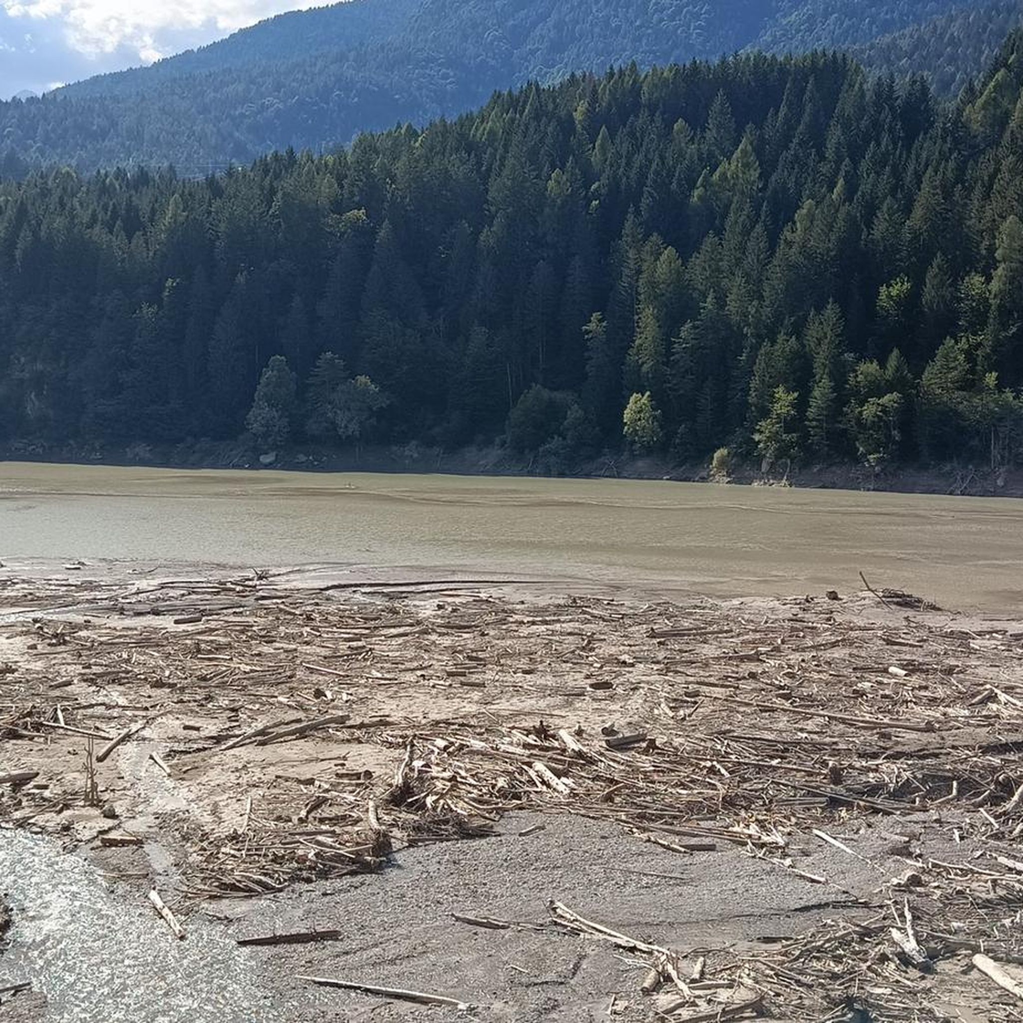
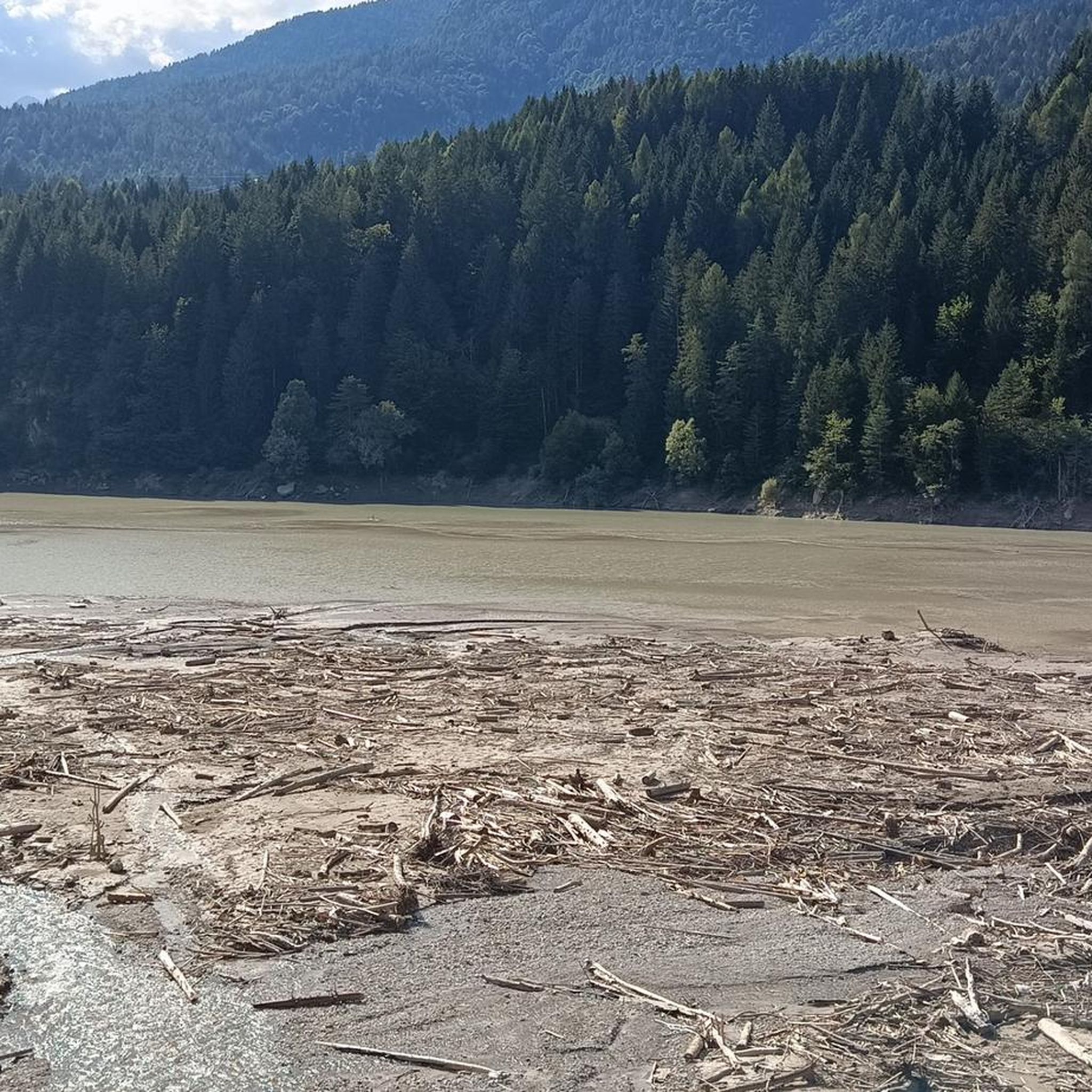
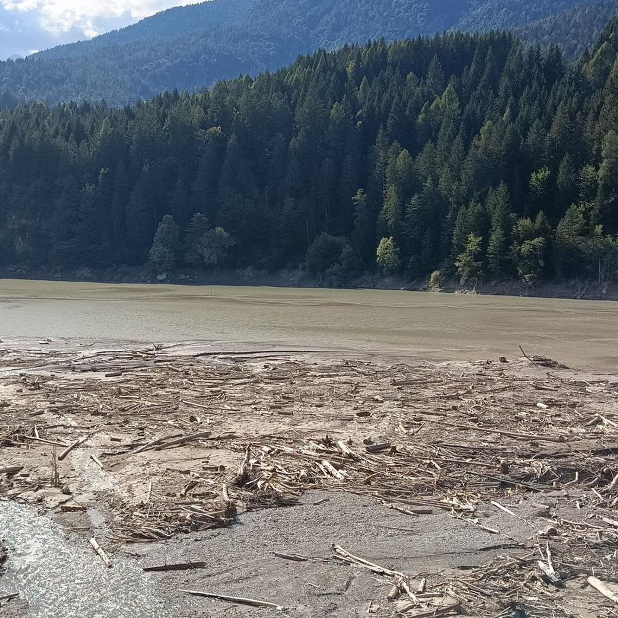


Other adventures around Domegge Di Cadore


Tips from the Community

Lorenzago di Cadore is a charming mountain village in the province of Belluno, nestled in the Eastern Dolomites and surrounded by dense fir forests. Located at about 880 meters above sea level on a sunny plateau overlooking the Tagliamento valley, the town boasts an ancient history and a strong connection to the traditions of Cadore. It is internationally famous for being the favorite summer holiday destination of Pope John Paul II and later Pope Benedict XVI, who were won over by the tranquility of its landscapes and the beauty of its natural trails. Lorenzago offers a breathtaking view of the Cridola group and the Mauria pass, representing an ideal destination for those seeking relaxation, walks immersed in greenery, and authentic contact with the most genuine alpine atmosphere.
0
0

Beautiful as a pass, among the most beautiful in the Veneto region. The view is spectacular: you can see the Marmolada and its glacier, you can see Mount Pelmo and many famous mountain groups. I recommend coming very early, in order to find parking, enjoy the beautiful sunrise, see animals and enjoy the tranquility, avoid coming late in the morning or in the afternoon because it is full of people and it is difficult to enjoy the silence of the mountain.
0
0

The Staulanza Pass (1,766 m above sea level) is a Dolomite mountain pass located between the slopes of Mount Crot (Civetta Group) and those of Pelmetto (Pelmo Massif). It belongs to the municipality of Val di Zoldo, near the borders with Selva di Cadore and Borca di Cadore. It is crossed by the SP 251 road, which connects the Val di Zoldo with the Val Fiorentina. The Staulanza refuge stands at the pass. The pass is a convenient starting point for hikes around Pelmo, Civetta, and Croda da Lago.
1
0

Beautiful little road with many spots for Picknick. Nearly traffic free as there is barrier half way. Great way to avoid the main road and heavy traffic.
0
0

Constant 10%-11% gradient up to Passo Giau with no significant passages for relaxation in between.
1
1

The pass is somewhat unspectacular, but easy to drive along the road. It's practically a must for further access into the Dolomites.
0
0

One of my favorite villages in the Dolomites for its wonderful location, at the foot of Monte Pelmo, the Cinque Torri, and with views of the Marmolada. It's a village with a natural balcony at the foot of Passo Forcella Staulanza, Passo Giau, and Colle Santa Lucia.
0
0

From Tai di Cadore you go down the Cavallera road to reach Perarolo di Cadore and continue along Rucorvo, Rivalgo, Ospitale di Cadore, Termine di Cadore and Longarone.
1
0
Frequently Asked Questions
How many road cycling routes are available around Domegge Di Cadore?
There are over 50 road cycling routes documented around Domegge Di Cadore on komoot. These routes offer a mix of moderate and difficult options, catering to various skill levels.
What kind of terrain can I expect on road cycling routes in Domegge Di Cadore?
The terrain around Domegge Di Cadore is diverse, featuring dramatic Dolomite landscapes with jagged peaks, towering rock formations, and lush forests. You'll find routes with significant elevation changes, including challenging mountain passes, as well as sections along the shores of Lake Centro Cadore and the Piave Valley, offering waterside views.
Are there any family-friendly road cycling routes in the area?
While many routes in the region are rated moderate to difficult, the Dolomites Cycle Path offers sections that are generally gentler and safer, making them suitable for families. The View of Lago di Centro Cadore – Dolomites Cycle Path loop is a moderate 37.4 km route that provides scenic views and is often completed in under two hours, offering a good option for a less strenuous ride.
What are some notable landmarks or natural features to see while road cycling?
Road cycling routes in Domegge Di Cadore offer breathtaking views of the Dolomites, including peaks like Spalti di Toro, Marmarole, and Antelao. You'll also pass by the scenic Lake Centro Cadore. Along some routes, you might encounter cultural sites such as the Romiti Hermitage or various small churches, some housing significant works of art.
When is the best time of year for road cycling in Domegge Di Cadore?
The best time for road cycling in Domegge Di Cadore is typically during the warmer months, from late spring to early autumn. August is particularly popular, with many cyclists exploring the area. During these months, the weather is generally favorable, and the mountain passes are clear of snow, offering optimal conditions for enjoying the diverse routes.
Are there any routes that offer significant climbs or are considered very challenging?
Yes, Domegge Di Cadore is known for its challenging climbs. The Staulanza Pass – Passo Giau loop is a difficult 118.2 km route with over 3,100 meters of elevation gain, taking you across high mountain passes. Another demanding option is the Ovaro – View of the Dolomites loop, which covers 145.5 km with over 2,800 meters of ascent.
What do other road cyclists say about the routes in Domegge Di Cadore?
The road cycling routes around Domegge Di Cadore are highly rated by the komoot community, with an average score of 4.5 stars from over 60 reviews. Cyclists frequently praise the stunning Dolomite scenery, the variety of terrain, and the challenging nature of many routes, which provide both scenic beauty and demanding climbs.
Are there any routes that follow an old railway line?
Yes, a notable cycling path in the region is "The Route of the Dolomites," which connects Calalzo di Cadore to Cortina D'Ampezzo. This route largely follows an old railway line, offering a generally gentle ride through forests and traditional villages, with the majestic peaks of the Dolomites as a constant backdrop. Some sections, however, particularly near San Vito to Cortina D'Ampezzo, can present more challenging uphills and zigzags.
Are there mountain huts or refuges accessible from road cycling routes?
While many huts are typically accessed via hiking or mountain biking trails, some are in areas that can be starting points or viewpoints from road cycling routes. For example, the Città di Carpi Mountain Hut and Giaf Hut are prominent refuges in the broader Dolomite area, offering panoramic views and serving as excellent points of interest.
Are there any long-distance road cycling loops available?
Yes, the region offers several long-distance loops for experienced road cyclists. The Campanile of Prato Carnico – Pesaris loop is a challenging 129.4 km route, while the Dolomites Cycle Path – Dogana Vecchia loop covers 96.8 km, both providing extensive rides through varied Dolomite landscapes.
Can I find routes that combine lake views with mountain scenery?
Absolutely. Domegge Di Cadore is situated along the shores of Lake Centro Cadore, and many routes incorporate its beautiful waterside views. The View of Lago di Centro Cadore – Dolomites Cycle Path loop is a prime example, offering a moderate ride that combines the tranquility of the lake with glimpses of the surrounding Dolomite peaks.
Most popular routes around Domegge Di Cadore
Most popular attractions around Domegge Di Cadore

Get inspired with the komoot mobile app


Explore more
Browse the best Road cycling routes in other regions.
