The best road cycling routes in Struer
4.6
(17)
438
riders
55
rides
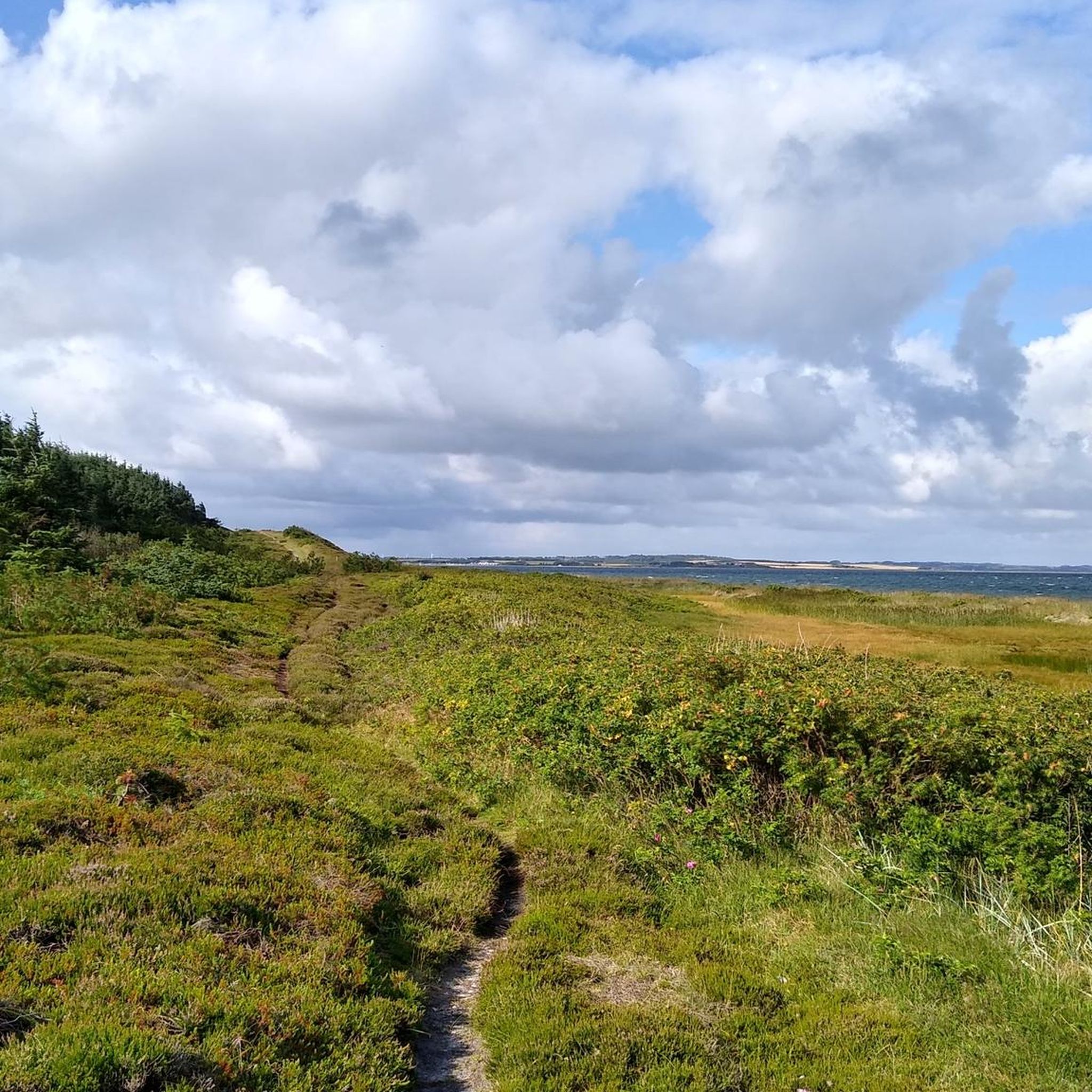
Road cycling in Struer offers diverse landscapes, characterized by its proximity to the Limfjord and a network of paved routes. The region features gentle undulations rather than significant climbs, making it accessible for various skill levels. Cyclists can explore scenic coastal paths, traverse rural areas, and ride through tranquil forests. The terrain predominantly consists of quiet roads, main roads, and dedicated cycleways.
Best road cycling routes in Struer
- The most popular road cycling route is Aa-Mølle – Aa-Mølle Historic Water…
Last updated: October 11, 2026
4.7
(3)
38
riders
61.8km
02:32
360m
360m
Moderate road ride. Good fitness required. Mostly well-paved surfaces and easy to ride.
5.0
(1)
28
riders
55.8km
02:14
230m
230m
Moderate road ride. Good fitness required. Mostly well-paved surfaces and easy to ride.

5.0
(2)
23
riders
79.6km
03:10
270m
270m
Moderate road ride. Good fitness required. Mostly well-paved surfaces and easy to ride.
4.0
(3)
23
riders
46.2km
01:55
200m
200m
Moderate road ride. Great for any fitness level. Some segments of this route may be unpaved and difficult to ride.
4.5
(2)
22
riders
49.8km
02:01
210m
210m
Moderate road ride. Good fitness required. Some segments of this route may be unpaved and difficult to ride.
Get access to more routes and recommendations from other explorers.
Already have an account?
Our route recommendations are based on thousands of hikes, rides, and runs completed by other people on komoot.
Start today with a free account
Your next adventure awaits.
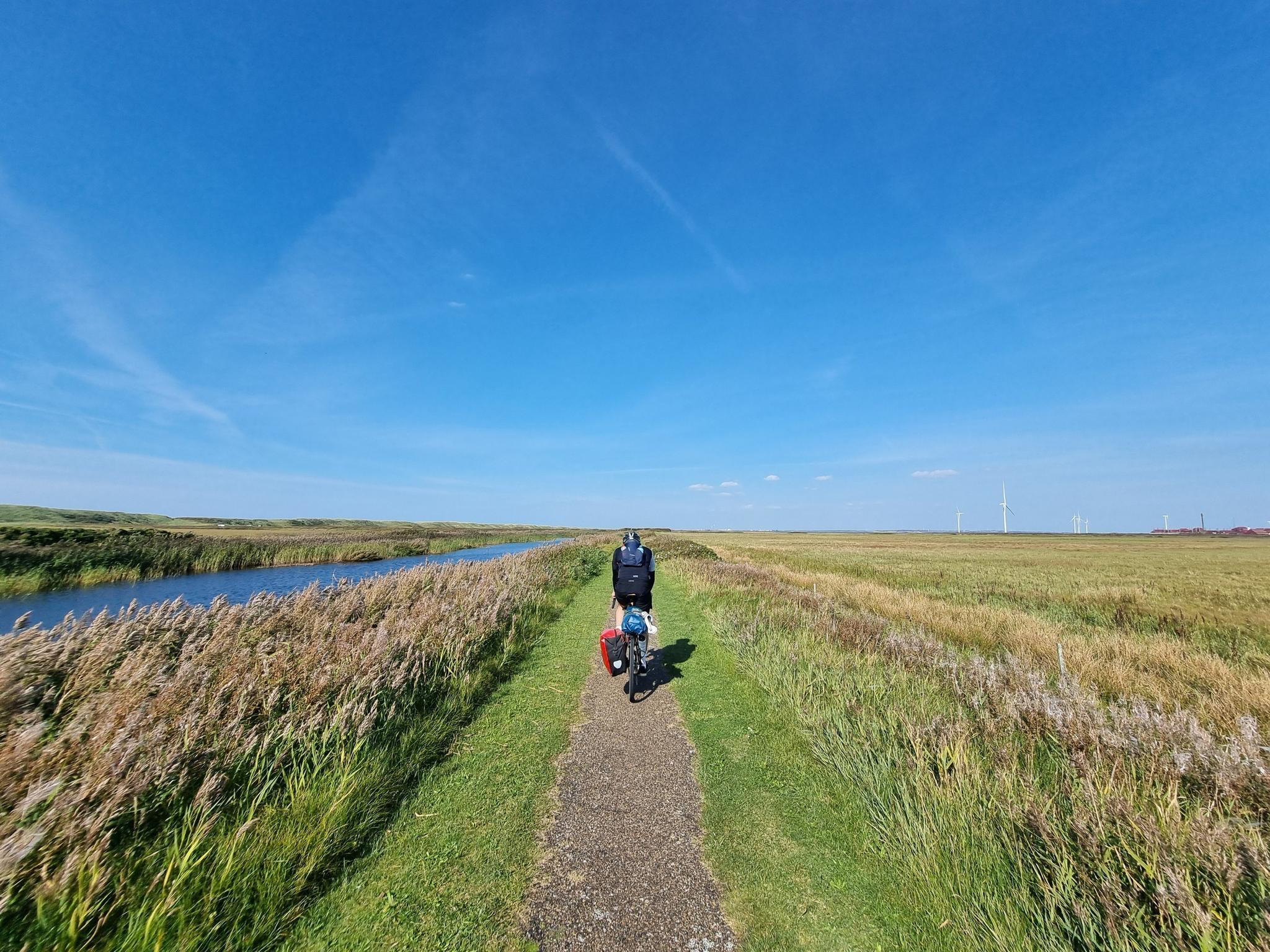
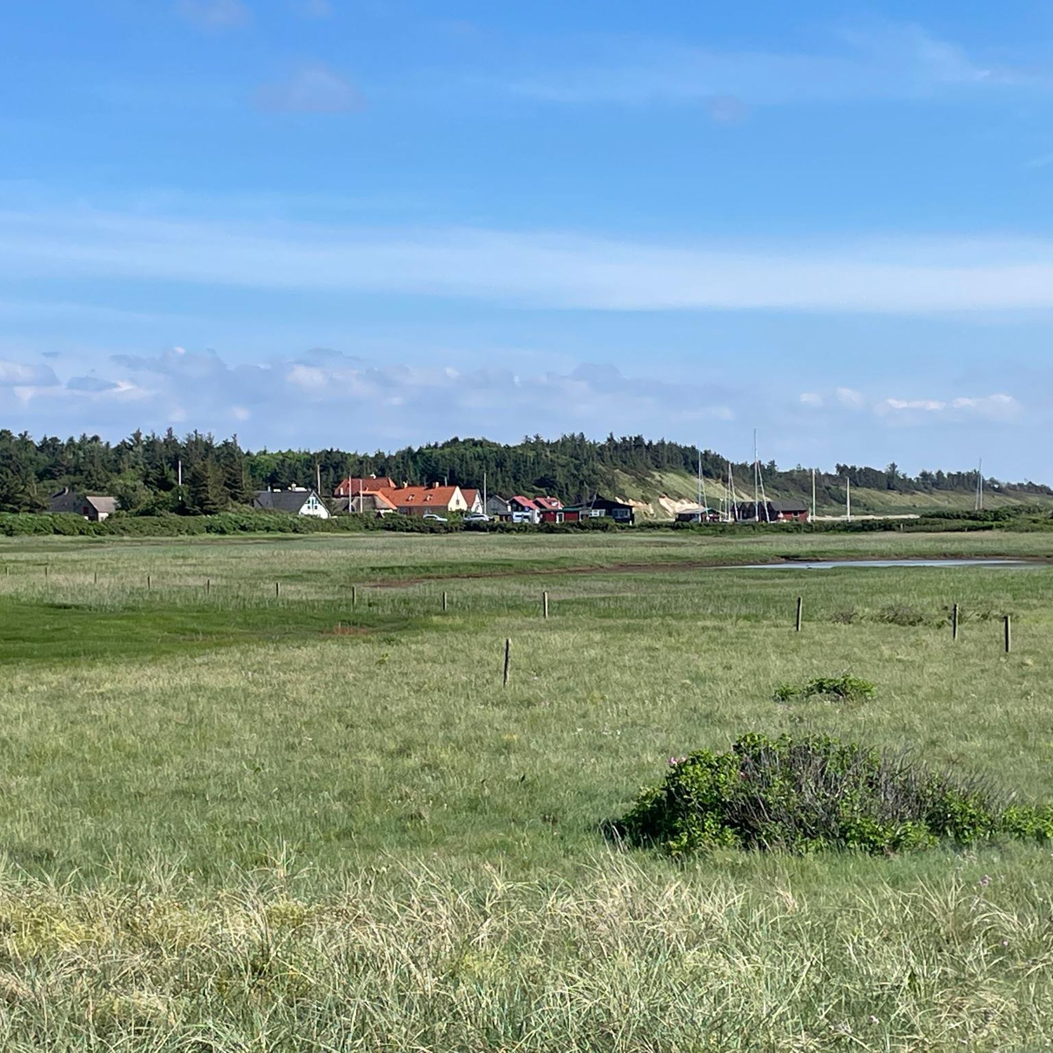
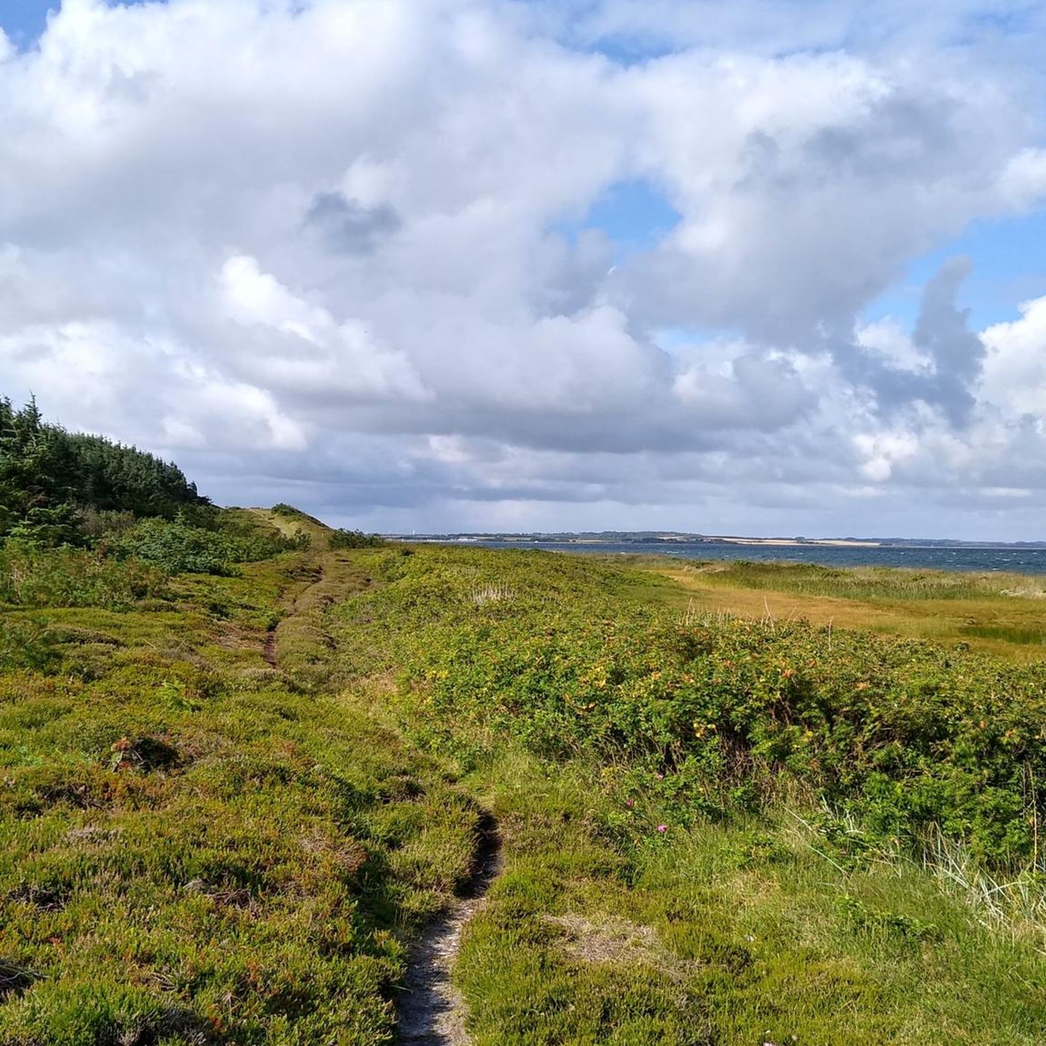

Other adventures in Struer

Tips from the Community

The city of Sarpsborg in Norway gifted the sculpture to the city of Struer in 1948, in gratitude for the food that the starving Norwegians received from local farmers shortly after World War II. Today, the sculpture is Struer's landmark. https://www.visitdenmark.dk/danmark/explore/skulptur-sarpsborgpigen-struer-gdk606441
0
0
This is about sound and listening, in connection with the well-known brand Bang & Olufsen. https://www.destinationlimfjorden.de/limfjord/der-guide/struer-museum-gdk606559
0
0


Dry dock in Lemvig at the harbor, here the ships get a new shine. :-)
3
0


There are 70 things in it, but watch out! Lots of entrances and at the end pay attention to the right of way!
2
0

Open and operating on weekends from 2 p.m. to 4 p.m. Affectionate senior citizens will show you around.
1
0

The Dutch windmill from 1867 is now Lyng's landmark. The mill with the characteristic bell housing is open to the public on working days. https://www.sonneundstrand.de/ferienhaeuser/limfjord/lyngs.htm
2
1
Frequently Asked Questions
How many road cycling routes are available in Struer?
Struer offers a wide selection of road cycling routes, with nearly 60 routes available on komoot. These routes cater to various preferences, including 25 easy and 34 moderate options, ensuring there's something for every skill level.
What is the best time of year for road cycling in Struer?
The months of July and August are particularly good for road cycling in Struer. During this period, the weather is generally favorable for exploring the diverse landscapes and extensive network of cycling routes around the Limfjord.
What kind of terrain can I expect on road cycling routes in Struer?
Road cycling in Struer is characterized by diverse and accessible terrain. You'll find gentle undulations rather than significant climbs, making it suitable for various skill levels. Routes predominantly feature paved surfaces, including quiet roads, main roads, and dedicated cycleways, often winding along scenic coastal paths, through rural areas, and tranquil forests.
Are there road cycling routes suitable for beginners or families in Struer?
Yes, Struer offers many road cycling routes suitable for beginners and families. With 25 easy routes available, you can enjoy relaxed rides on well-maintained paths. The region's gentle topography and extensive network of dedicated cycleways make it an ideal destination for less experienced cyclists.
What do other cyclists say about road cycling in Struer?
The road cycling routes in Struer are highly rated by the komoot community, with an average score of 4.6 stars from more than 9 reviews. Over 399 road cyclists have used komoot to explore Struer's varied terrain, often praising the scenic coastal paths along the Limfjord and the well-maintained routes through rural areas and forests.
What natural features or landmarks can I see along road cycling routes in Struer?
Many road cycling routes in Struer integrate with or pass by significant natural and cultural points of interest. You can enjoy expansive views of the Limfjord, traverse charming rural areas and serene forests, and pass by features like the Klosterheden Forest Lake Picnic Area or Møllesøen (Mill Lake). The island of Venø, accessible by ferry, also offers unique cycling experiences.
Are there any historical sites or cultural attractions near the road cycling routes?
Yes, several routes offer glimpses of historical and cultural sites. For example, the Aa-Mølle – Aa-Mølle Historic Water Mill loop from Struer explores the surroundings of an historic water mill. You might also encounter the historic Nørre Vosborg Manor or the Oddesundtarnet, adding a cultural dimension to your ride.
Are there options for long-distance road cycling in Struer?
Struer is an excellent starting point for long-distance road cycling. The region is part of the Limfjord Route, a national cycling route spanning over 600 kilometers, allowing for extensive journeys. Longer options like 'Asp til Fredrikshavn' (203.6 km) or a 'Søndags tur' (138 km) are also available for those seeking more challenging, multi-hour rides.
Can I find road cycling routes with sea views in Struer?
Absolutely. Struer's location by the Limfjord means many road cycling routes offer stunning coastal scenery and expansive sea views. Routes like the Thyborøn-Agger Ferry Bridge loop from Struer provide continuous views of the Limfjord, including a ferry bridge crossing, making for a picturesque ride.
Is parking available near the road cycling routes in Struer?
Yes, parking is generally available in and around Struer, especially near popular starting points for cycling routes. Many routes begin in or near towns, where public parking facilities can be found. It's advisable to check specific route details on komoot for recommended parking spots.
Are there cafes or places to stop for refreshments along the road cycling routes?
Yes, many road cycling routes in Struer pass through or near charming villages and towns where you can find cafes, restaurants, and shops for refreshments. The Limfjord area is known for its hospitality, offering opportunities to refuel and relax during your ride.
Are there any circular road cycling routes in Struer?
Yes, Struer offers several excellent circular road cycling routes. Examples include the popular Aa-Mølle – Aa-Mølle Historic Water Mill loop from Struer, the scenic Thyborøn-Agger Ferry Bridge loop from Struer, and the rural Kæmpehøjen loop from Nørby. These loops allow you to start and end your ride in the same location, often exploring diverse landscapes.
Most popular attractions in Struer

Get inspired with the komoot mobile app


Explore more
Browse the best Road cycling routes in other regions.
