The best running trails around Cencenighe Agordino
4.7
(22)
3,095
runners
94
runs
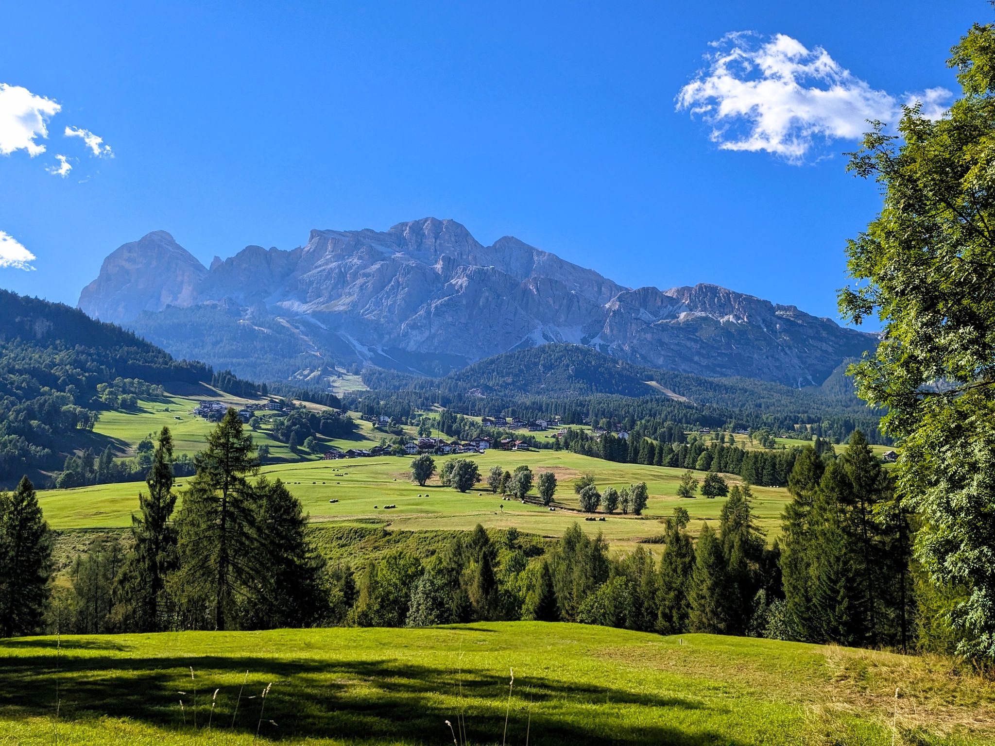
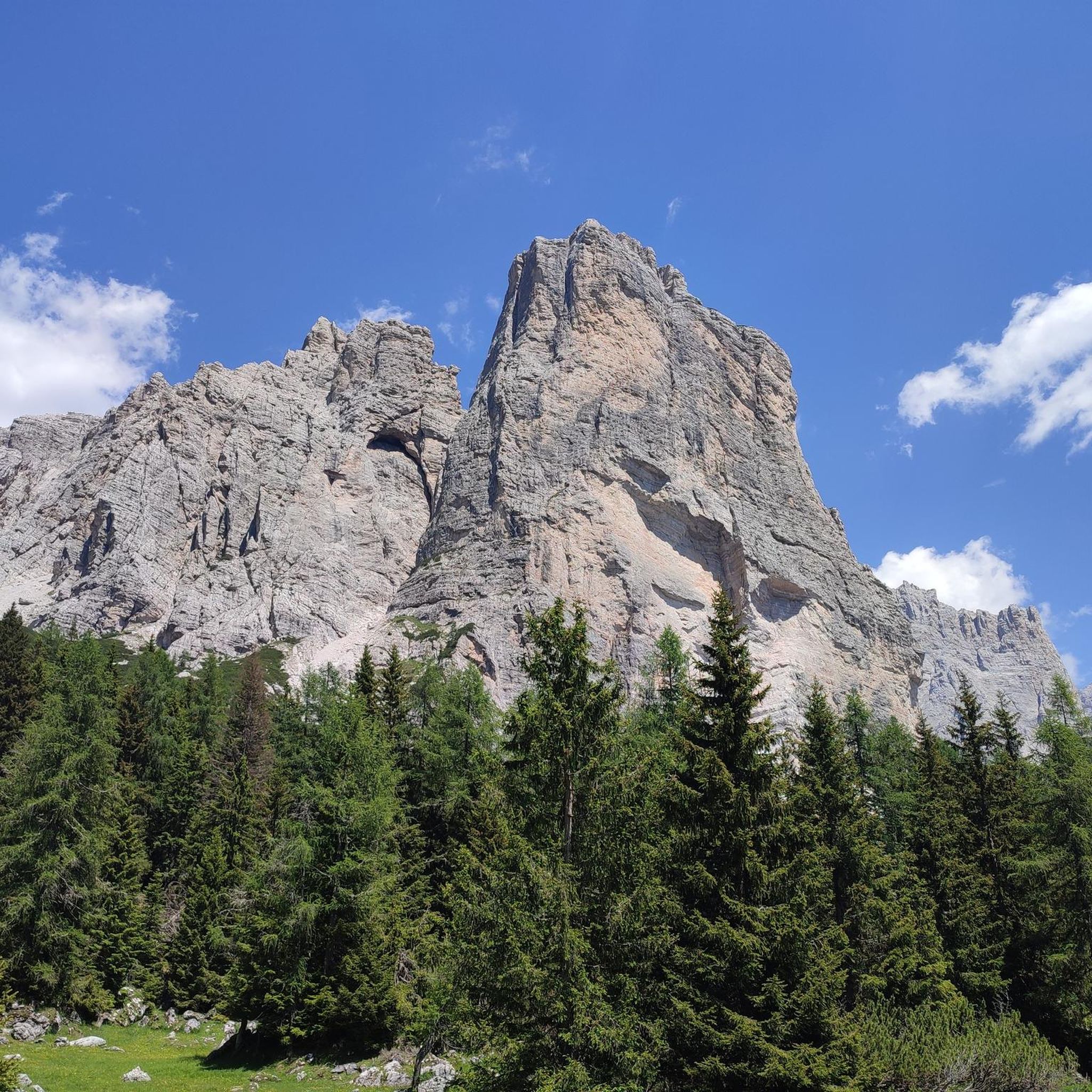
Jogging around Cencenighe Agordino offers routes through alpine valleys and along river courses, set against the backdrop of the Dolomites. The terrain includes varied elevation changes, from gentler paths alongside water bodies to more challenging ascents into the surrounding hills. This region provides a mix of forested sections and open areas, suitable for different running preferences.
Best jogging routes around Cencenighe Agordino
- The most popular jogging route is Lake Alleghe Loop, a 3.6 miles (5.8 km) trail that takes…
Last updated: October 21, 2026
81
runners
19.4km
03:23
1,220m
1,220m
Hard run. Very good fitness required. Sure-footedness, sturdy shoes and alpine experience required.
74
runners
9.19km
01:02
190m
190m
Moderate run. Good fitness required. Mostly paved surfaces. Suitable for all skill levels.

25
runners
16.8km
02:30
1,030m
1,030m
Hard run. Very good fitness required. Mostly paved surfaces. Suitable for all skill levels.
11
runners
10.7km
01:17
270m
270m
Moderate run. Good fitness required. Mostly paved surfaces. Suitable for all skill levels.
14
runners
9.01km
01:10
420m
420m
Hard run. Very good fitness required. Mostly paved surfaces. Suitable for all skill levels.
Get access to more routes and recommendations from other explorers.
Already have an account?
Our route recommendations are based on thousands of hikes, rides, and runs completed by other people on komoot.
Start today with a free account
Your next adventure awaits.
Popular around Cencenighe Agordino

Other adventures around Cencenighe Agordino

Tips from the Community


MOUNTAIN GROUP: Civetta TYPE OF REFUGE: Alpine ELEVATION: 1714 m LOCATION: Col Negro di Pelsa MUNICIPALITY: Taibon Agordino (BL) CAI SECTION: Conegliano TELEPHONE: 0437 660008 - 3288867114 E-MAIL: rifugiovazzoler@gmail.com WEB: www.rifugiovazzoler.com OPENING PERIOD: June 13 - September 30 BEDS: 50 EMERGENCY PLATFORM PLACES: 34 EMERGENCY SHELTER: 10 MANAGER: Doris Corazza MANAGER PHONE: 328 8867114 Source: https://www.caiveneto.it/rifugio/vazzoler
1
0
The Rifugio Capanna Trieste (1135 meters above sea level) is a cozy alpine hut in the Dolomites, a UNESCO World Heritage Site, located in Val Corpassa at the foot of the Molazza–Civetta group in the territory of the Municipality of Taibon Agordino in the Province of Belluno, Veneto Region. Located at the entrance of Val Corpassa coming from the hamlet of Listolade, Rifugio Capanna Trieste represents the preferential access from an excursionist point of view to the alpine environment of Val Civetta and its incredible heritage of panoramas and wonders to discover coming from the Conca Agordina. Besides being a very convenient access to Val Civetta, Val Corpassa is famous for sport climbing and in winter for ice climbing. The area also enjoys some popularity among MTB enthusiasts. The Rifugio Capanna Trieste is normally open from April to November; for any needs, however, we invite you to contact the management and the local Information Office (contacts below) in order to obtain more up-to-date information on the correct opening dates of the facility. Rifugio Capanna Trieste Tel. 0437 660122 rifugiocapannatrieste@gmail.com Tourist Office of Agordo Tel. 0437 62105 ufficioturistico@agordo.net https://www.agordinodolomiti.it/it_IT/cosa-vedere/rifugi-malghe-e-casere-in-agordino/rifugi-in-agordino/rifugio-capanna-trieste-agordino-dolomiti/
0
0

impressive view of the Trieste tower
0
0

The hut is part of the Alta Via No. 1 and is located on the trail between Rifugio Coldai and Rifugio Vazzoler. A visit is not to be missed. The view from the nearby Col Rean to Lago Alleghe, almost 1,000 meters below, and the northwest face of the Civetta are particularly impressive.
0
0
Relatively easy to reach shelter in an impressive location opposite the Torre Trieste. The hut is run first class and the food is excellent.
1
0

Amazing spot with panoramic views. Best place I had for a sunset along the Alta Via 1.
1
0
Frequently Asked Questions
How many running routes are available around Cencenighe Agordino?
There are over 60 running routes in the Cencenighe Agordino area, offering a wide range of options for different preferences and fitness levels.
Are there running routes for all skill levels in Cencenighe Agordino?
Yes, the region offers a variety of routes catering to different abilities. You'll find 5 easy routes, 26 moderate routes, and 31 more challenging trails, ensuring options for beginners to experienced runners.
Can I find circular running routes in Cencenighe Agordino?
Many of the running trails in Cencenighe Agordino are circular, allowing you to start and finish in the same location. An example is the Lake Alleghe Loop, which offers scenic views around the lake.
What kind of scenery can I expect on the running trails?
The running routes around Cencenighe Agordino are set against the stunning backdrop of the Dolomites. You can expect alpine valleys, forested sections, river courses, and beautiful lake views, such as those found on the Lake Alleghe Loop.
Are there any scenic viewpoints or natural attractions along the running paths?
Yes, the area is rich in natural beauty. You might encounter highlights like Lake Coldai or Lake Alleghe. Some routes also offer panoramic views, such as the View of Alleghe and the Civetta.
What do other runners enjoy most about jogging in Cencenighe Agordino?
The running trails in Cencenighe Agordino are highly rated by the komoot community, with an average score of 4.2 stars. Runners often praise the diverse terrain, from gentle valley paths to challenging mountain ascents, and the breathtaking Dolomite scenery.
Are there any longer, more challenging running routes for experienced runners?
Absolutely. For experienced runners seeking a challenge, routes like the Lake Coldai loop from Rifugio Capanna Trieste offer significant elevation gain over 17.2 miles (27.7 km) through high alpine terrain.
Are there any running routes that pass through valleys or alongside rivers?
Yes, many routes follow the natural contours of the region. For example, the Running loop from Falcade takes you through the scenic Falcade valley, often alongside water bodies.
Can I find running routes suitable for a moderate workout?
Yes, there are 26 moderate running routes available. A good option is the Running loop from Taibon Agordino, which covers about 5.7 miles (9.1 km) with moderate elevation changes.
Are there any running routes that offer a mix of forest and open areas?
The Cencenighe Agordino region provides a good mix of terrain. Many routes, such as the Rifugio Lagazzon loop from Canale d'Agordo, will take you through both forested sections and open alpine meadows, offering varied landscapes.
What is the best time of year for jogging in Cencenighe Agordino?
The best time for jogging in Cencenighe Agordino is typically from late spring to early autumn (May to October), when the weather is milder and trails are generally free of snow. Summer offers lush greenery and warmer temperatures, while autumn provides stunning fall foliage.
Most popular routes around Cencenighe Agordino
Most popular attractions around Cencenighe Agordino

Get inspired with the komoot mobile app


Explore more
Browse the best Running Trails & Routes in other regions.
