The best road cycling routes around Sagron Mis
4.7
(135)
3,766
riders
30
rides
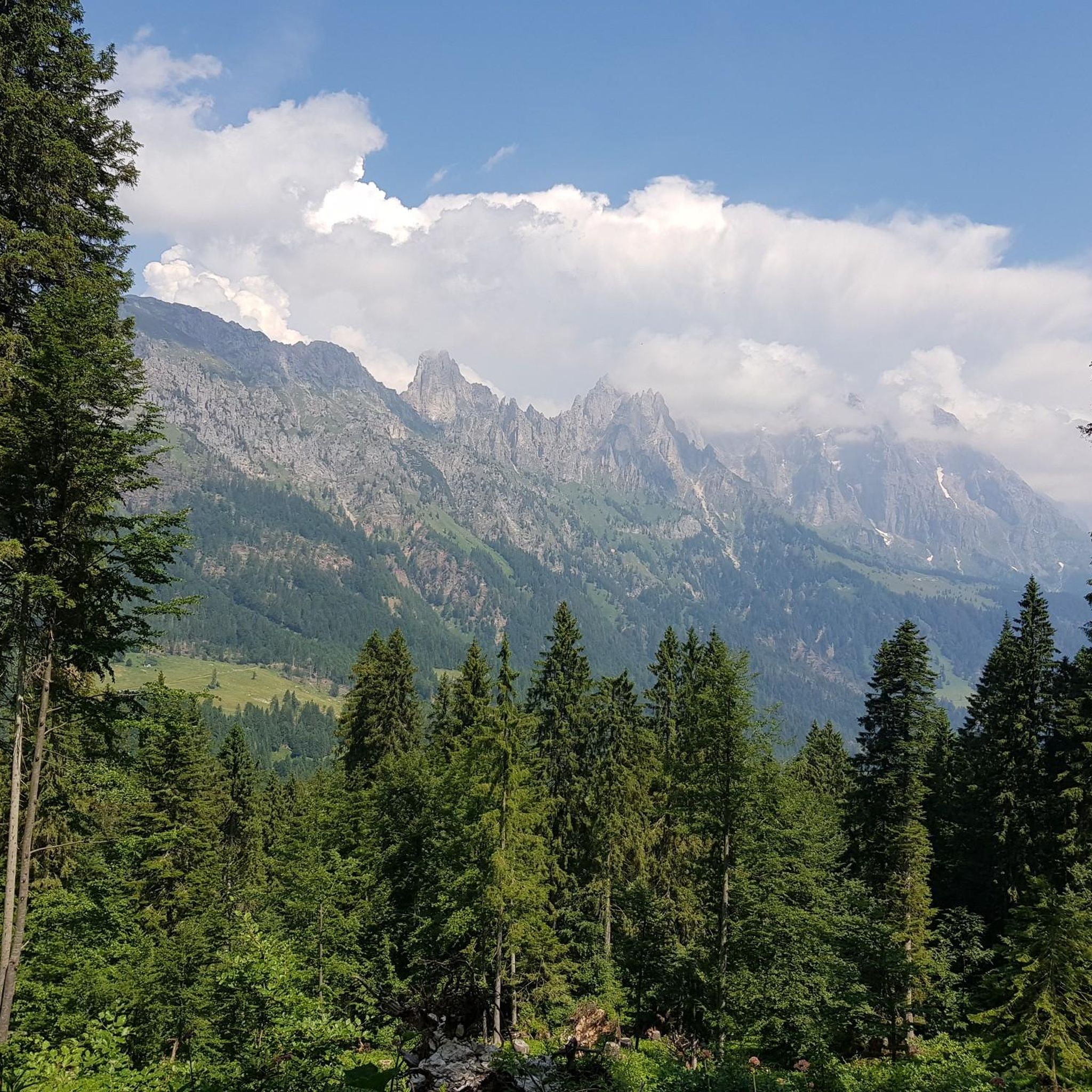
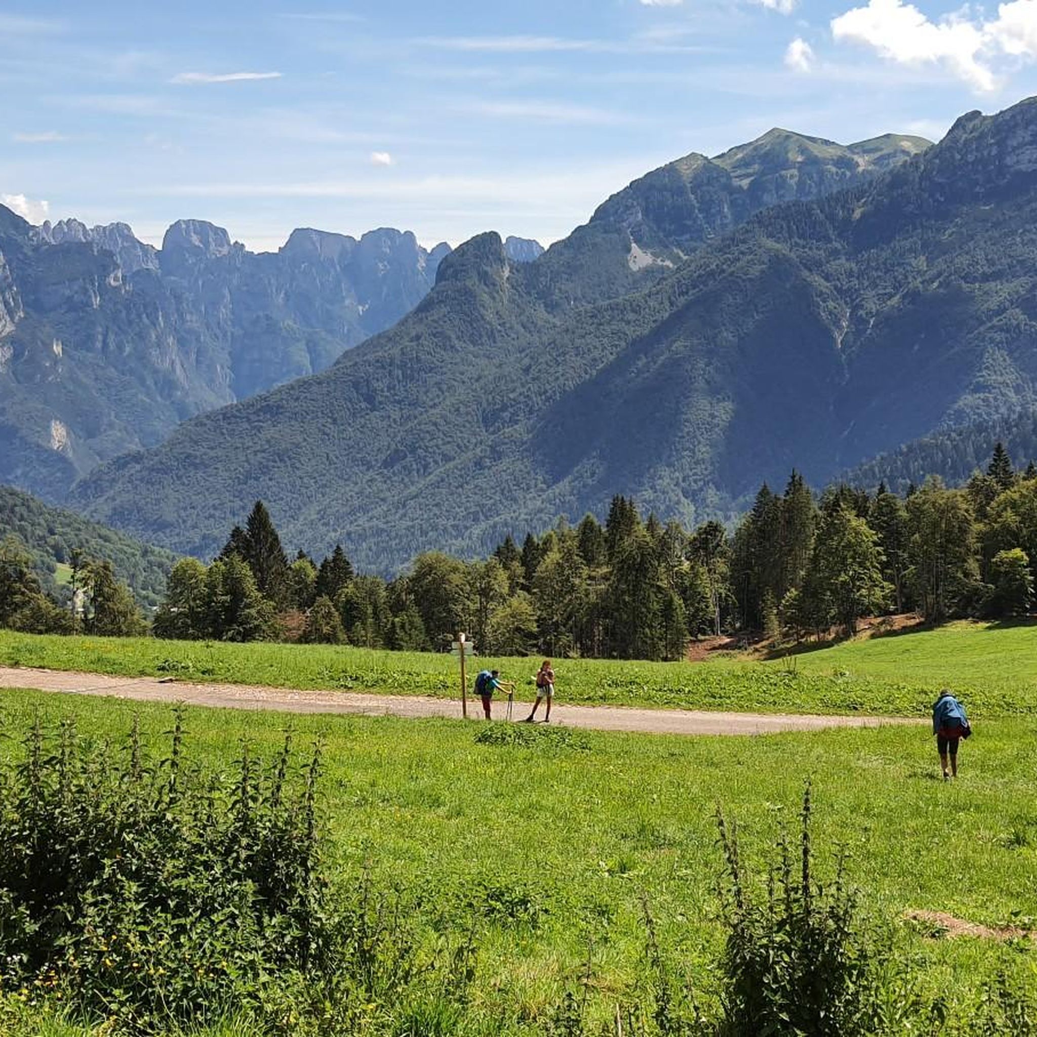
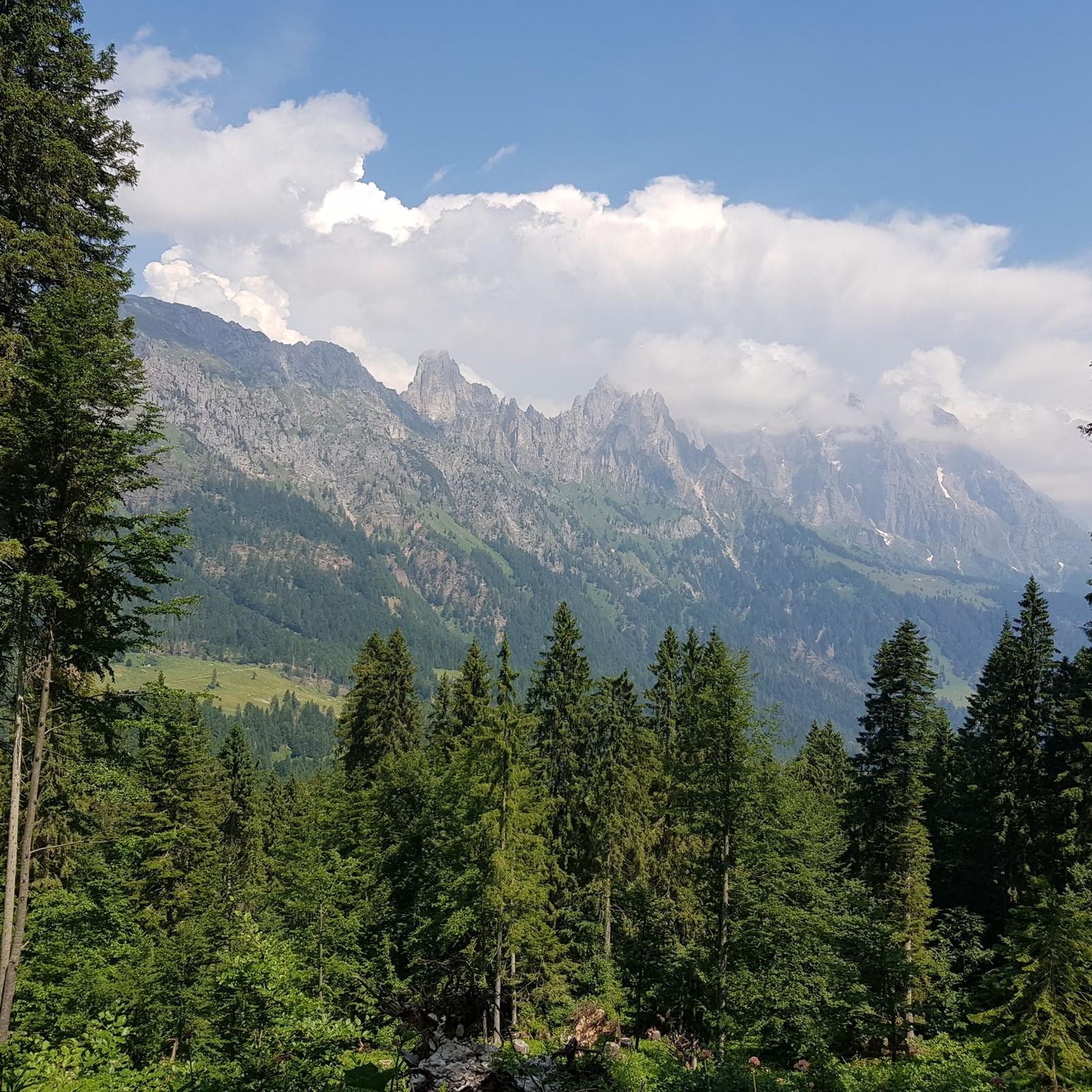
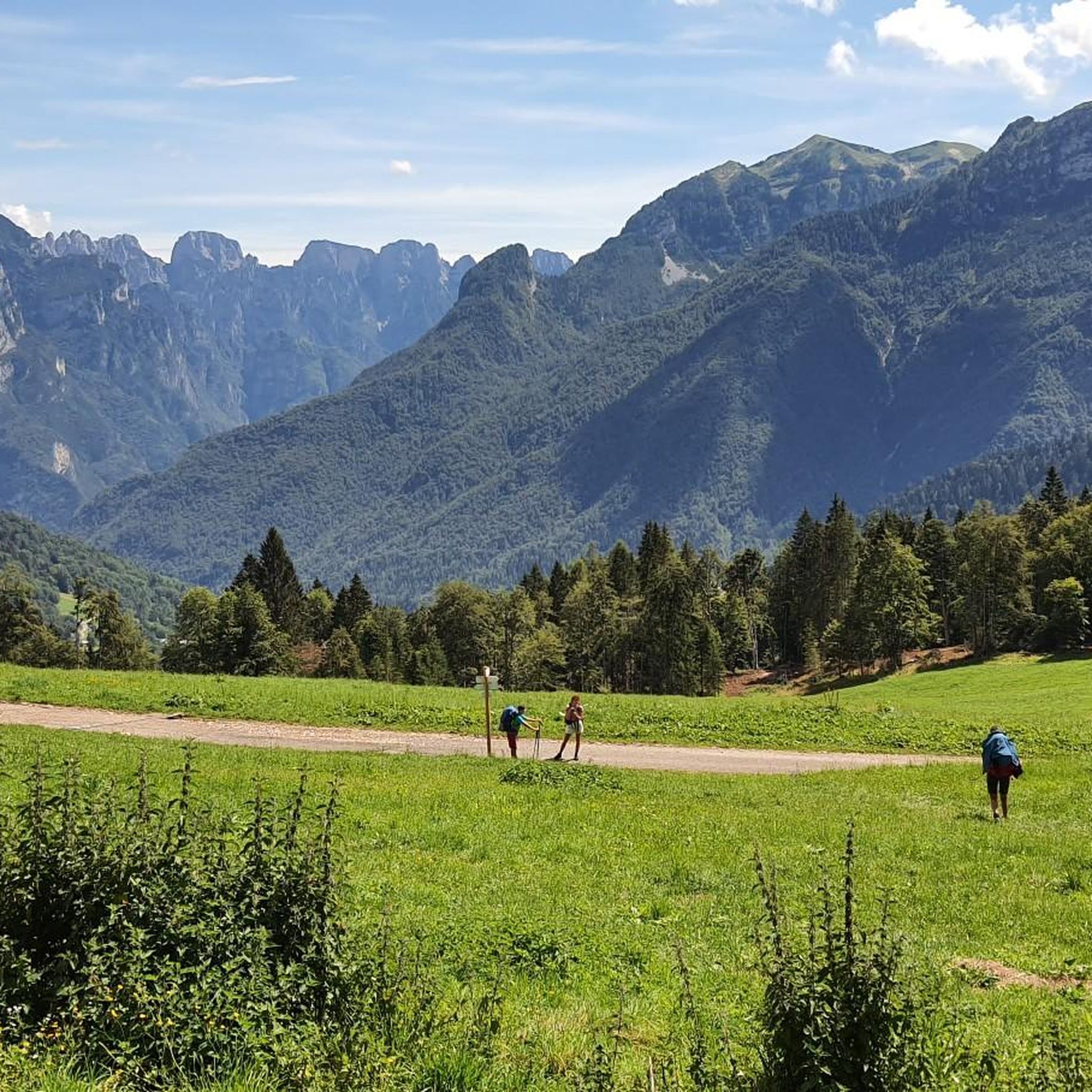
Road cycling routes around Sagron Mis traverse a landscape nestled between the Paneveggio-Pale di San Martino Nature Park and the Dolomiti Bellunesi National Park. The region is characterized by Dolomite peaks, including Piz de Sagron, and a valley basin featuring mountain passes like Passo Cereda. Road cyclists encounter challenging climbs and descents amidst varied terrain, including valleys and natural monuments.
Best road cycling routes around Sagron Mis
- The most popular road cycling route is Passo Rolle – San Pellegrino Pass loop from Forcella Aurine, a 75.0 miles (120.7 km) trail that takes 7 hours 44 minutes to complete. This difficult route offers extensive climbs and panoramic views across multiple Dolomite passes.
- Another top favourite among local road cyclists is Passo Cereda Mountain Hut – Forcella Aurine Pass loop from Rifugio Malga Cavallera, a difficult 37.1 miles (59.7 km) path. This route features significant elevation gain and passes through mountainous terrain, including a mountain hut.
- Local road cyclists also love the Passo Cereda – Fiera di Primiero loop from Sagron Mis, a 15.0 miles (24.2 km) trail leading through mountain passes and valleys, often completed in about 1 hour 47 minutes.
- Road cycling around Sagron Mis is defined by Dolomite peaks, mountain passes, and diverse valleys. The network offers options for various ability levels, from easy routes to challenging climbs.
- The routes in Sagron Mis are highly rated by the komoot community with an average score of 4.5 stars from over 90 reviews. More than 3,000 road cyclists have used komoot to explore Sagron Mis's varied terrain.
Last updated: July 7, 2026
5.0
(8)
107
riders
61.6km
04:10
1,900m
1,900m
Hard road ride. Very good fitness required. Mostly well-paved surfaces and easy to ride.
3.8
(6)
135
riders
70.7km
04:54
2,230m
2,230m
Hard road ride. Very good fitness required. Mostly well-paved surfaces and easy to ride.

Sign up for free
5.0
(4)
72
riders
55.1km
03:07
1,240m
1,240m
Hard road ride. Very good fitness required. Mostly well-paved surfaces and easy to ride.
5.0
(3)
43
riders
24.8km
01:52
940m
940m
Hard road ride. Very good fitness required. Some segments of this route may be unpaved and difficult to ride.
27
riders
21.1km
01:43
660m
660m
Moderate road ride. Good fitness required. Some segments of this route may be unpaved and difficult to ride.
Get access to more routes and recommendations from other explorers.
Sign up for free
Already have an account?
Our route recommendations are based on thousands of hikes, rides, and runs completed by other people on komoot.
Start today with a free account
Your next adventure awaits.
Login or Signup

Tips from the Community

Passage crossing from the Tesino basin, arriving from Valsugana and the Primiero and Vanoi valleys. Environment rich in pastures and landscapes on the surrounding mountains.
0
0

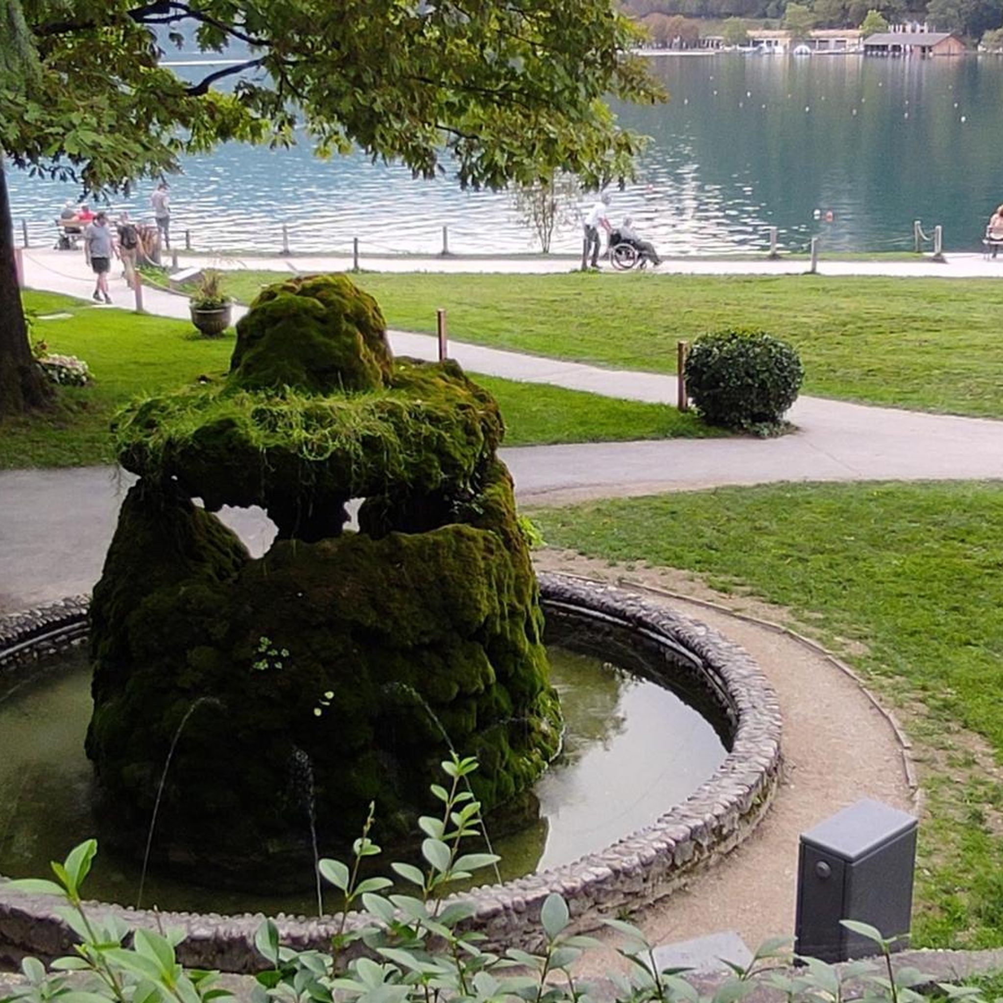
Welsperg Lake is one of the symbols of the Canali Valley, its waters reflecting the peaks of the southern slope of Cimerlo. Near the lake is the "Palù Grant," a large marsh, an area of botanical and wildlife interest, home to rushes and thistles, as well as the typical common reed, and several interesting orchid species. In recent years, the lake has undergone significant environmental redevelopment and renaturalization, recreating a suitable habitat for amphibians and trout. This project has led to the naturalistic landscaping of the banks, the creation of floating and semi-submerged vegetated areas, and the establishment of refuge zones. The lake is also home to a significant number of crayfish, an aquatic invertebrate of considerable scientific value.
1
0
The villa, built in 1853 and once the residence of the Counts of Welsperg, has housed the Paneveggio – Pale di San Martino Natural Park Authority and its Visitor Center since 1996. The complex of three buildings—the villa itself, the small church, and the barn (tabià)—is surrounded by a garden and a large meadow-pasture that, in the lower section, fades into a small peat bog. The Visitor Center offers an experiential tour through six rooms where visitors can experience the unique characteristics of each geographic sector of the Park. Coincidentally, the layout of the ground floor spaces bears a striking topographical resemblance to the actual territorial layout. The first room is dedicated to the entire Park and the value of biodiversity. The other five rooms each present a portrait of the major sectors: the Val Canali, the Pale di San Martino Plateau, the Paneveggio Forest, the Lagorai ridge, and the Vanoi. Within the Villa Welsperg complex, the ancient Tabià is a typical example of rural architecture. Having undergone a conservative restoration, it has been transformed into a large multipurpose room. The ground floor, the stable, which retains its original "salesà" (packed earth) flooring, is used as a support space for environmental education activities, while the first floor, the hayloft, can be used for conferences, meetings, and as a space for temporary exhibitions. Adjacent to the Tabià is the "Barch," a structure always open for rest and shelter. A monumental beech tree, estimated to be 300 years old, stands in the driveway leading to the villa. Centuries-old lime trees and horse chestnut trees welcome visitors and lead them to a pond with various aquatic species. To the side of the main building are the fern garden and the ancient rose garden, while opposite the large barn are the medicinal herb garden and the caretaker's field. The former hosts plants once used in the local folk pharmacopoeia; the latter cultivates food varieties no longer commonly used in the gardens of Primiero and Vanoi. https://parcopan.org/poi/centro-visitatori-di-villa-welsperg/
1
0
Commonly known as Laghetto Castrona (or Lago Turchese), it is a small body of water suitable for swimming created by an artificial dam on the Canali stream. Renowned for its crystal-clear waters and white sandy shores, it lies between Villa Welsperg and the Al Cacciatore hotel, near a convenient parking area.
1
0

Regular and not too hard climb, suitable for those who are not super fit
0
0


Starting from Canal San Bovo it is a climb of about 14km with constant gradients but never above 8%, with a few sections at 9%
1
0
Starting from Imer it is a very easy climb with gradients never above 8%
0
0
Frequently Asked Questions
How many road cycling routes are available around Sagron Mis?
There are nearly 30 road cycling routes around Sagron Mis, offering a wide range of options for different skill levels. You'll find everything from easy rides to very challenging climbs.
What is the best time of year for road cycling in Sagron Mis?
The best time for road cycling in Sagron Mis is typically from late spring through early autumn, generally May to October. During these months, the weather is most favorable, and the mountain passes are usually clear of snow, providing optimal conditions to enjoy the Dolomite scenery.
Are there easy road cycling routes suitable for beginners in Sagron Mis?
Yes, while Sagron Mis is known for its challenging terrain, there is at least one easy road cycling route available. Most of the routes are moderate to difficult, but beginners can find suitable options to enjoy the scenic landscape.
What kind of terrain and views can I expect on road cycling routes in Sagron Mis?
Road cycling routes in Sagron Mis offer diverse terrain, including challenging climbs over mountain passes like Cereda Pass and descents through picturesque valleys. You can expect panoramic views of the surrounding Dolomite peaks, such as Piz de Sagron, and a landscape rich with natural monuments, canyons, and even glimpses of lakes.
Are there any challenging road cycling climbs in the Sagron Mis area?
Absolutely. Sagron Mis is situated in a region known for its demanding mountain passes, making it ideal for cyclists seeking challenging climbs. Routes often feature significant elevation gains, such as the Passo Rolle – San Pellegrino Pass loop from Forcella Aurine, which includes over 3,300 meters of ascent.
What do other cyclists say about road cycling in Sagron Mis?
The road cycling routes around Sagron Mis are highly rated by the komoot community, with an average score of 4.5 stars from over 90 reviews. Cyclists often praise the spectacular Dolomite views, the challenging yet rewarding climbs, and the peaceful environment away from crowded tourist centers.
Can I find circular road cycling routes in Sagron Mis?
Yes, many of the road cycling routes in Sagron Mis are designed as loops, allowing you to start and end in the same location. An example is the Passo Cereda – Fiera di Primiero loop from Sagron Mis, which offers a scenic circular journey through mountain passes and valleys.
What are some notable landmarks or points of interest along the road cycling routes?
Along the road cycling routes, you can encounter several notable landmarks and natural features. These include various mountain passes like Forcella Aurine Pass and Cereda Pass, as well as mountain huts such as Rifugio Rosetta Pedrotti and Treviso Hut in Val Canali, which offer opportunities for rest and refreshments amidst stunning scenery.
Are there any routes that pass by lakes or water features?
Yes, some routes in the broader Sagron Mis area incorporate beautiful water features. For instance, the Lake del Mis – Lake del Mis loop from Don di Gosaldo offers a scenic ride around a picturesque lake, providing a different kind of natural beauty compared to the high mountain passes.
Where can I find accommodation or places to eat along the routes?
The region offers various mountain huts and small villages where you can find places to rest and eat. Huts like Rifugio Rosetta Pedrotti and Treviso Hut in Val Canali are popular stops for cyclists. Additionally, the towns and villages in the valleys will have cafes, pubs, and accommodation options.
Is Sagron Mis a good destination for road cyclists looking for less crowded routes?
Yes, Sagron Mis is known for being less crowded than some of the more famous Dolomite tourist centers. Its location provides a peaceful environment deeply connected to nature, allowing cyclists to enjoy the stunning landscapes on quieter roads, especially outside of peak holiday periods.
What is the typical elevation gain on road cycling routes in Sagron Mis?
The elevation gain on road cycling routes in Sagron Mis varies significantly depending on the route's difficulty. While easy routes will have minimal gain, challenging routes can feature substantial climbs. For example, the Passo Cereda Mountain Hut – Forcella Aurine Pass loop from Rifugio Malga Cavallera includes nearly 1,900 meters of ascent over its 60 km distance.
Most popular routes around Sagron Mis
Most popular attractions around Sagron Mis

Get inspired with the komoot mobile app


Explore more
Browse the best Road cycling routes in other regions.
