The best walks and hikes around Voltago Agordino
4.4
(1642)
10,446
hikers
14
hikes
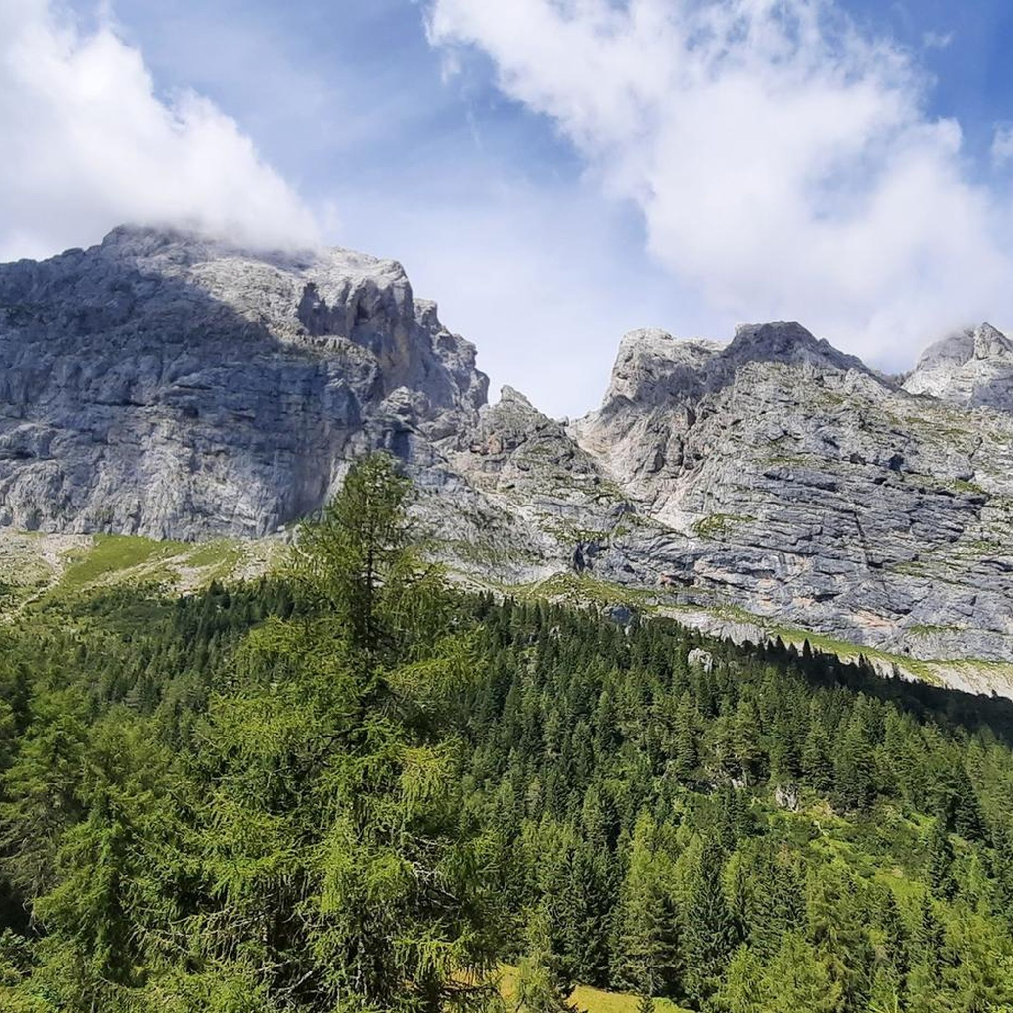
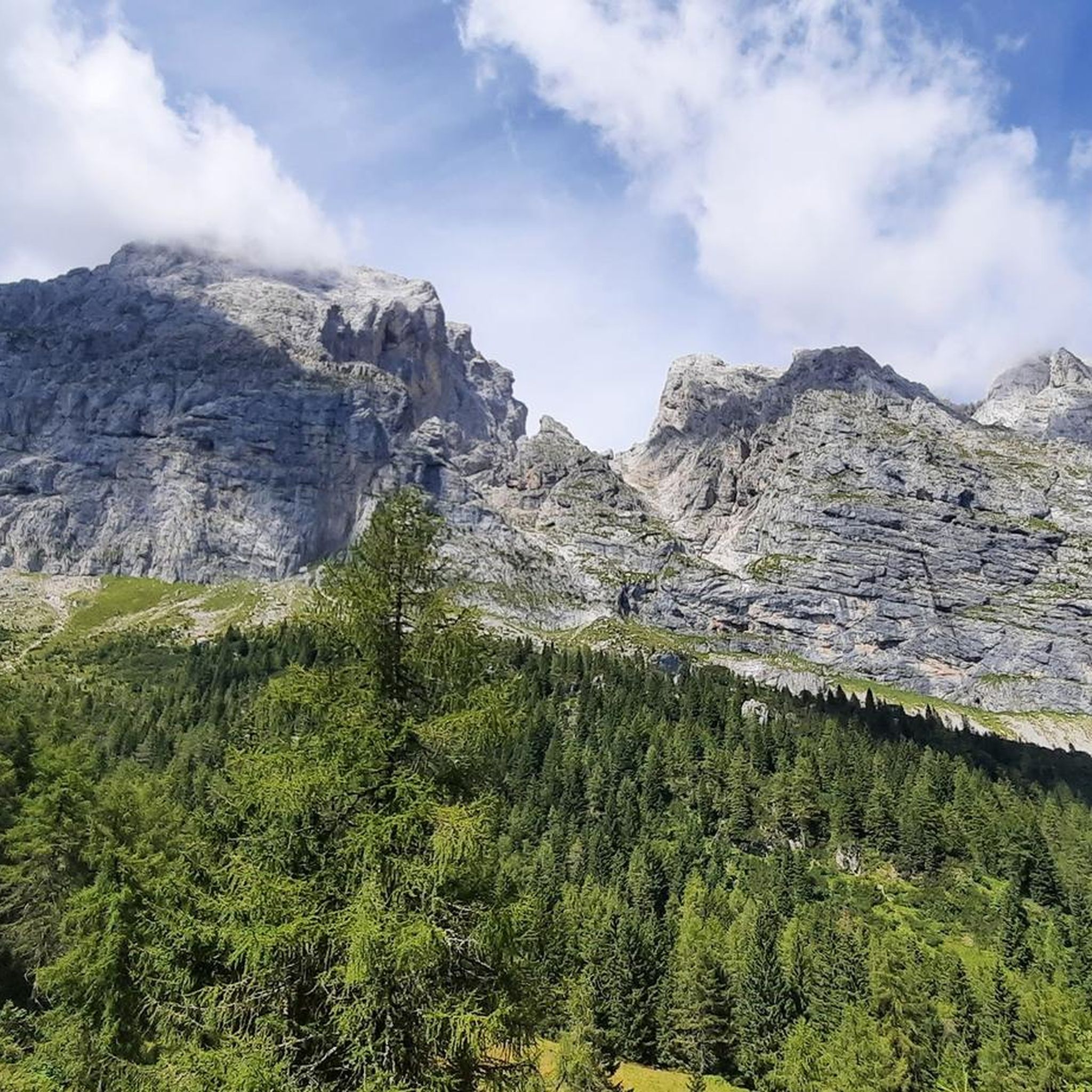
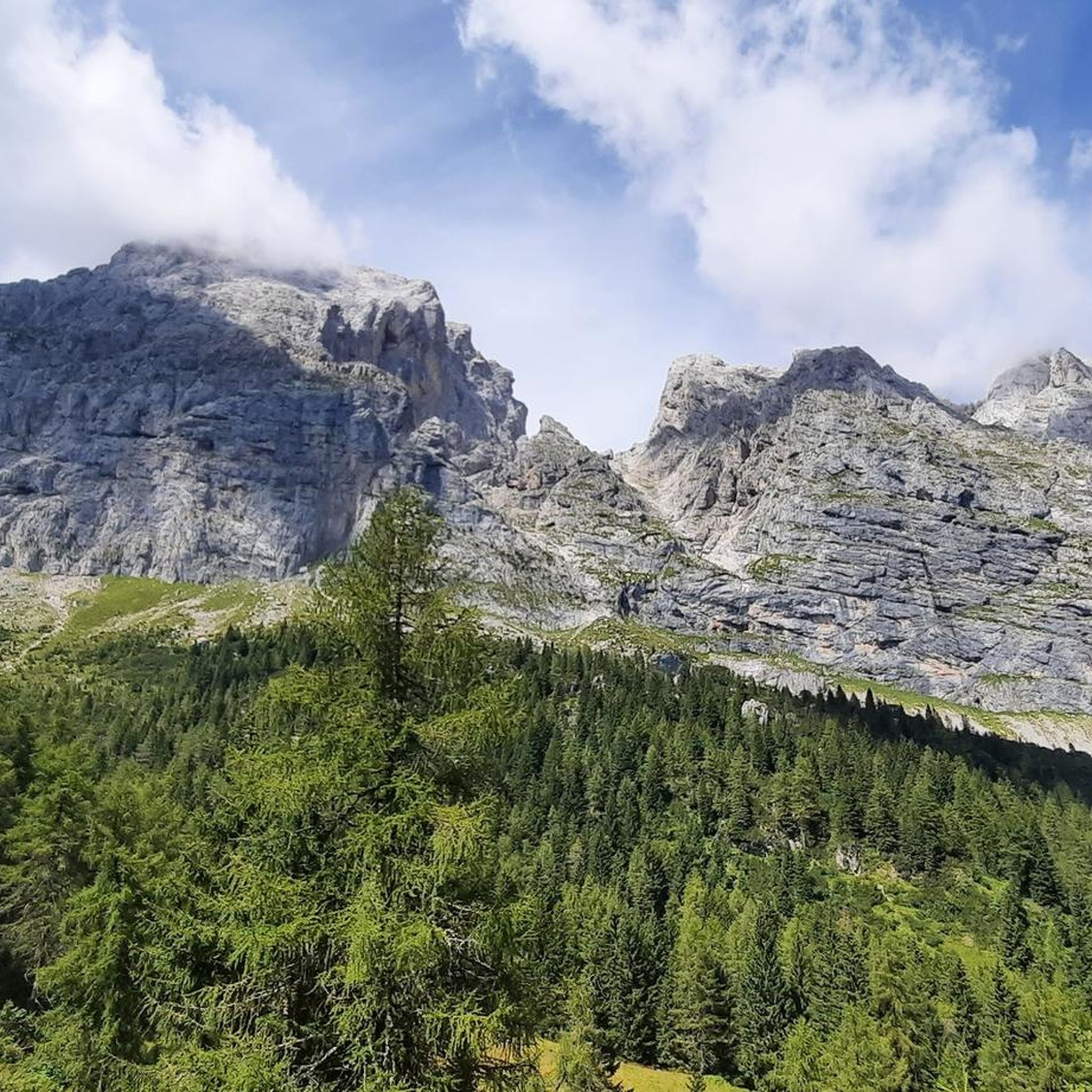
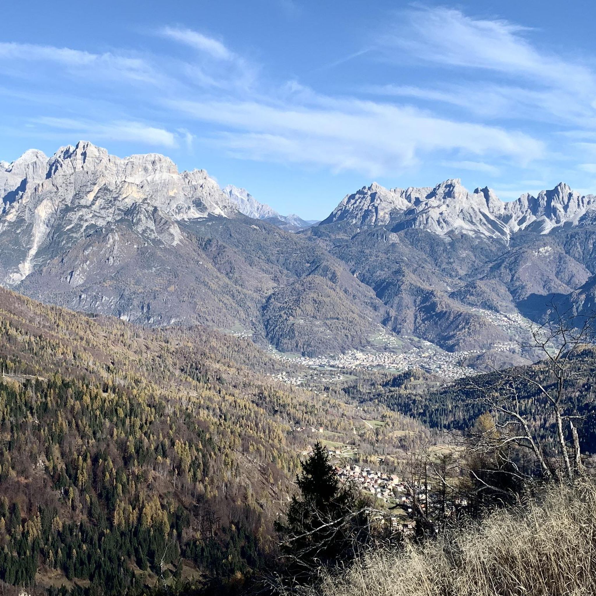
Hiking around Voltago Agordino offers access to diverse Dolomitic landscapes within the Conca Agordina. The region features dramatic mountain scenery, including the imposing Mount Agnèr and panoramic views of the Agordina Valley, encompassing peaks like Civetta and Moiazza. Trails traverse rich forested areas, particularly beech forests, and open alpine meadows, providing varied terrain for exploration. The area is situated near the Belluno Dolomites National Park, ensuring a pristine natural environment.
Best hiking trails around Voltago Agordino
- The most popular hiking…
Last updated: October 10, 2026
4.5
(97)
729
hikers
8.08km
03:12
630m
620m
Moderate hike. Good fitness required. Easily-accessible paths. Suitable for all skill levels.
5.0
(2)
25
hikers
12.6km
04:10
410m
410m
Moderate hike. Good fitness required. Mostly accessible paths. Sure-footedness required.

5.0
(2)
20
hikers
6.26km
02:28
490m
490m
Moderate hike. Good fitness required. Easily-accessible paths. Suitable for all skill levels.
4.6
(152)
845
hikers
13.4km
04:56
750m
750m
Moderate hike. Good fitness required. Mostly accessible paths. Sure-footedness required.
3.0
(2)
49
hikers
11.0km
04:14
640m
640m
Moderate hike. Good fitness required. Mostly accessible paths. Sure-footedness required.
Get access to more routes and recommendations from other explorers.
Already have an account?
Our route recommendations are based on thousands of hikes, rides, and runs completed by other people on komoot.
Start today with a free account
Your next adventure awaits.

Tips from the Community

Beautiful stone bivouac, with a good view.
0
0
Beautiful trail that develops almost always in the woods if you arrive from Forcella Aurine or Rifugio Scarpa, the climb is tough but very scenic and not exposed, except if you decide to go to the Croce di Luna.
1
0

A place like I like it that preserves the true soul of RIFUGIO, not many are left.
0
0

A small church in the municipality of Frassené. It's worth a quick stop.
0
0

Amazing refuge, open for long periods even in winter. Great food, great view.
2
0

For the view and when the refuge is open, for the welcome
1
1

The Bivacco G. Menegazzi is a small brick structure managed by the ANA group of Gosaldo; it has an economical stove and a wooden mezzanine with 8 beds. It is located at 1,737 m above sea level, in the Pian Lònch pasture, about ten minutes from the Rifugio Malga Cavallera. The view from here is truly enchanting: in front the gaze sweeps over the Monti del Sole, the Cimonega group and the Vette Feltrine, while behind rise the Dolomite peaks of Croda Granda, Sass d’Ortiga and Cima Oltro. Inaugurated in August 1980, it was created by recovering the old Casera Pianlonch. It is named after Giovanni Menegazzi, an Alpine soldier from Sant'Andrea di Gosaldo who fell on Monte Golico in March 1941 and was awarded the silver medal for military valor.
1
0

Malga Luna is located along the paths that lead to the Gurekian Refuge. It is an excellent place as an emergency shelter but also as a place to take a solitary and relaxing break.
0
0
Frequently Asked Questions
How many hiking trails are available around Voltago Agordino?
Voltago Agordino offers a diverse network of over 15 hiking trails. These routes cater to various skill levels, ranging from easy walks to more challenging mountain excursions, all set against the stunning backdrop of the Dolomites.
What kind of terrain can I expect on hikes in Voltago Agordino?
The terrain around Voltago Agordino is varied, featuring dramatic Dolomitic peaks, rich forested areas—particularly beech forests—and open alpine meadows. You'll find paths traversing slopes, leading to panoramic viewpoints, and connecting mountain refuges.
Are there any easy or beginner-friendly hikes in the area?
Yes, there are options suitable for beginners. While many trails are moderate, you can find easier paths that allow you to enjoy the scenery without strenuous climbs. For example, the area offers routes that explore the lower elevations and forests.
What are some notable landmarks or natural features to see while hiking?
Hikers can enjoy breathtaking views of Mount Agnèr, often called the 'giant of giants,' and panoramic vistas of the entire Agordina Valley, including peaks like Civetta and Moiazza. The region is also close to the Belluno Dolomites National Park. You might also encounter highlights like Cima Rosetta or Welsperg Lake.
Are there any circular hiking routes in Voltago Agordino?
Yes, circular routes are available for those who prefer to start and end their hike in the same location. An example is the Malga Losch Loop Trail, which is a moderate 8.1 km path exploring the area around Malga Losch.
What do other hikers say about the trails in Voltago Agordino?
The hiking routes in Voltago Agordino are highly regarded by the komoot community, with an average rating of 4.5 stars from over 1,200 reviews. Hikers frequently praise the stunning Dolomitic landscapes, the well-maintained paths, and the diverse experiences offered, from forest walks to alpine treks.
Are there mountain huts or refuges along the trails for resting or staying overnight?
Yes, the area features several mountain huts and bivouacs that serve as excellent resting points. Notable options include Rifugio Scarpa-Gurekian, which was once an artist's atelier, and Bivacco G. Menegazzi, known for its solitary atmosphere and fantastic panoramic views. Other significant huts in the broader area include Rifugio Rosetta Pedrotti and Bruto Carestiato Hut.
Can I find trails that lead to viewpoints with expansive views?
Absolutely. Many trails in Voltago Agordino offer incredible panoramic views. For instance, the Forest trail to Col di Luna cross from Frassenè leads through forested slopes to the Col di Luna cross, providing splendid views of the Agordina Valley and surrounding peaks.
What is the best time of year to go hiking in Voltago Agordino?
The best time for hiking in Voltago Agordino is generally from late spring through early autumn (May to October), when the weather is mild, and trails are clear of snow. This period allows you to fully appreciate the alpine flowers and lush forests. Some higher-altitude routes might still have snow early in the season.
Are there any trails that offer a unique cultural or historical experience?
Yes, the 'Troi de le berte' trail offers a unique cultural dimension, allowing visitors to discover ancient tales of mythological wood spirits (Om Salvarech). Additionally, the village of Frassenè, a medieval settlement, serves as a starting point for many excursions, adding a historical context to your hike.
Are there any longer, more challenging multi-day hikes available?
While many routes are day hikes, the presence of mountain refuges like Rifugio Scarpa-Gurekian and Bivacco Menegazzi allows for longer, more challenging excursions that can be broken into multiple days. The CAI Trail 773 from Rifugio Scarpa-Gurekian to Bivacco Menegazzi is an example of a route connecting these high-altitude points.
Most popular attractions around Voltago Agordino

Get inspired with the komoot mobile app


Explore more
Browse the best Hikes in other regions.
