The best road cycling routes around Rivamonte Agordino
4.5
(85)
3,752
riders
39
rides
Road cycling around Rivamonte Agordino is characterized by its location within the Dolomites, offering a mountainous landscape with significant elevation changes. The region features numerous passes, deep valleys, and winding roads that challenge cyclists. Limestone formations and alpine forests are prominent features of the terrain, providing a demanding environment for road biking.
Best road cycling routes around Rivamonte Agordino
- The most popular road cycling route is Falzarego Pass – Campolongo Pass loop from Voltago Agordino, a 73.8 miles (118.8…
Last updated: July 7, 2026
5.0
(10)
553
riders
104km
06:06
2,550m
2,550m
Hard road ride. Very good fitness required. Mostly well-paved surfaces and easy to ride.
4.6
(12)
754
riders
119km
06:47
2,720m
2,720m
Hard road ride. Very good fitness required. Mostly well-paved surfaces and easy to ride.

Sign up for free
4.0
(2)
92
riders
47.9km
02:44
1,040m
1,040m
Hard road ride. Very good fitness required. Mostly well-paved surfaces and easy to ride.
5.0
(2)
34
riders
138km
08:42
3,970m
3,970m
Hard road ride. Very good fitness required. Mostly well-paved surfaces and easy to ride.
36
riders
103km
04:44
1,090m
1,090m
Hard road ride. Very good fitness required. Mostly well-paved surfaces and easy to ride.
Get access to more routes and recommendations from other explorers.
Sign up for free
Already have an account?
Our route recommendations are based on thousands of hikes, rides, and runs completed by other people on komoot.
Start today with a free account
Your next adventure awaits.
Login or Signup
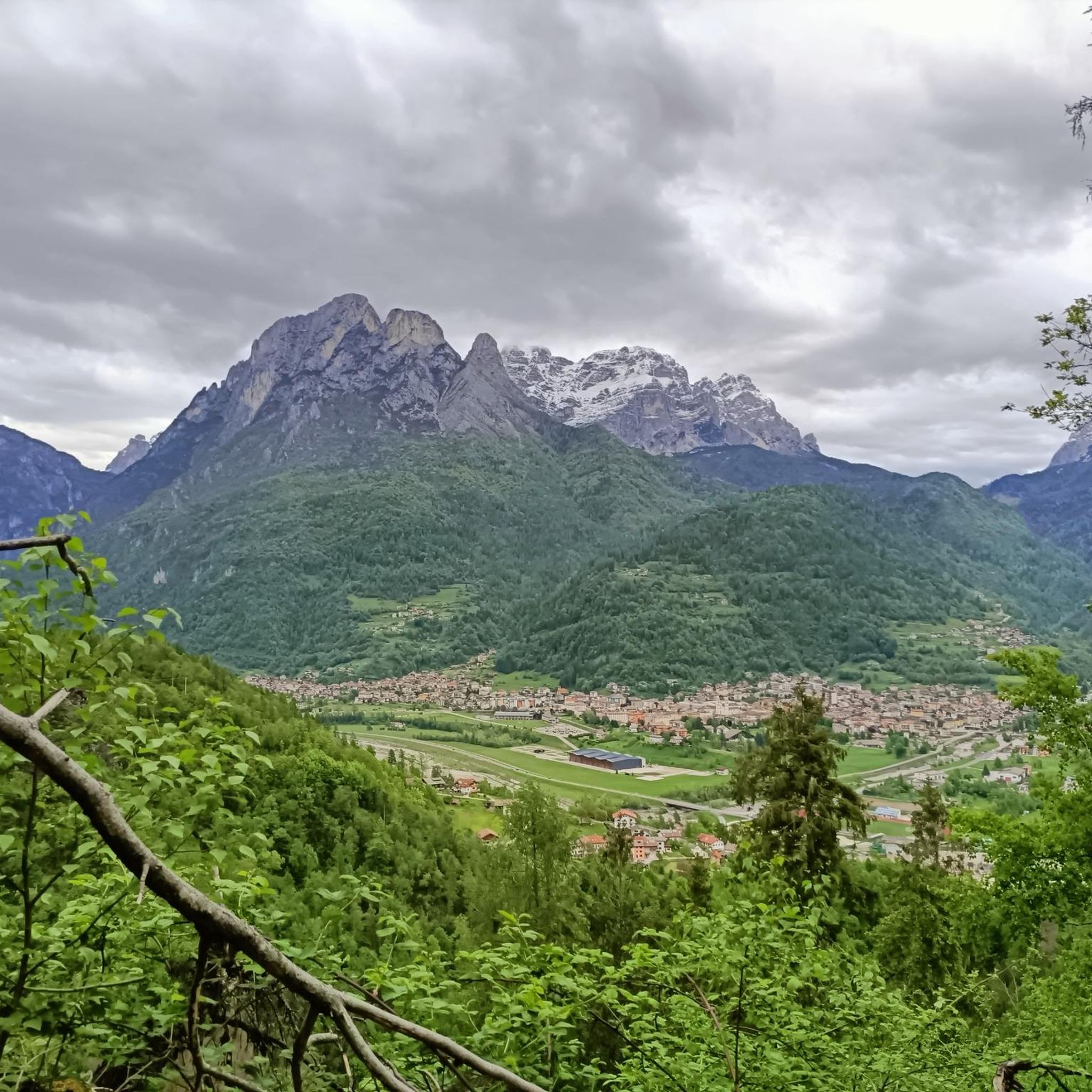
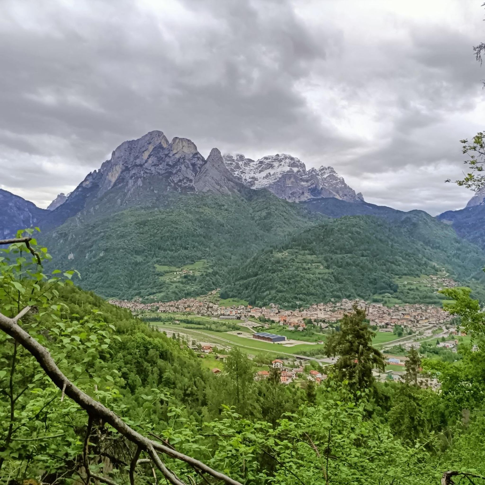
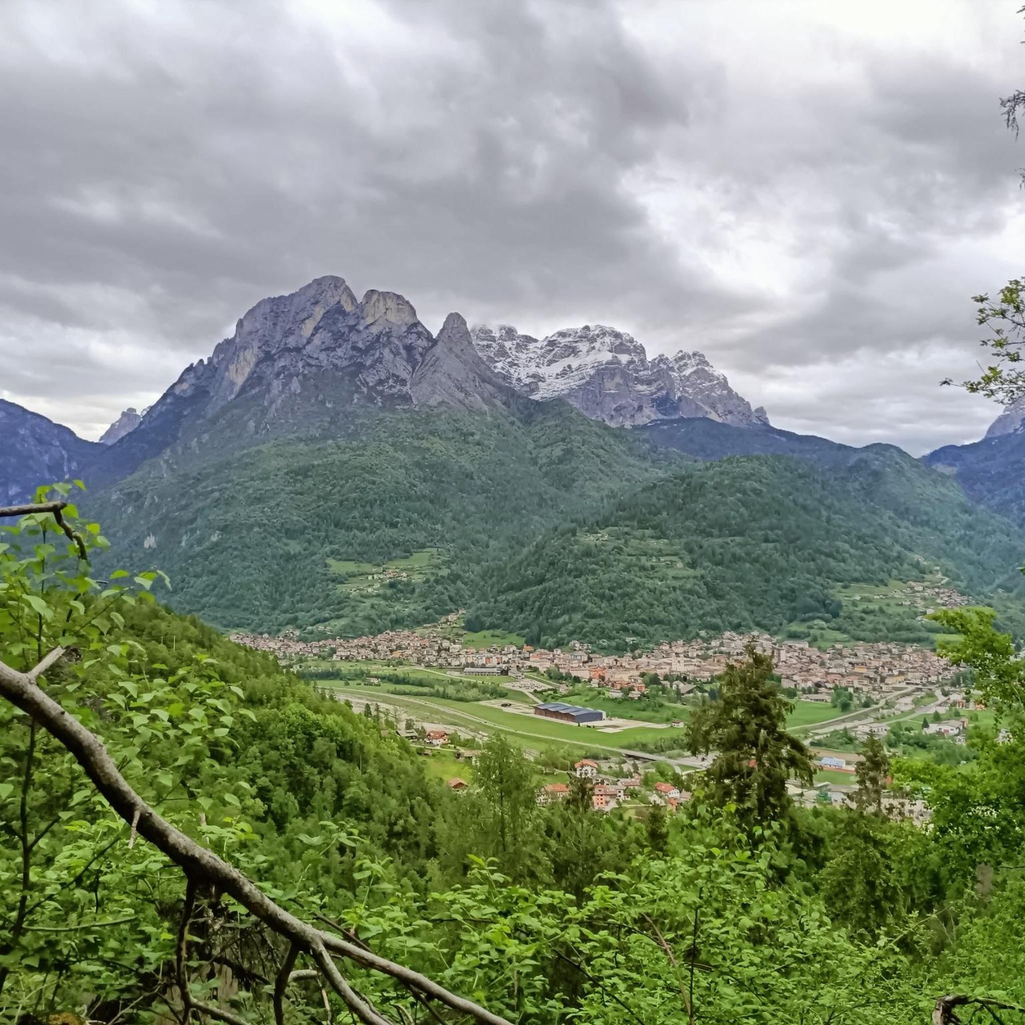
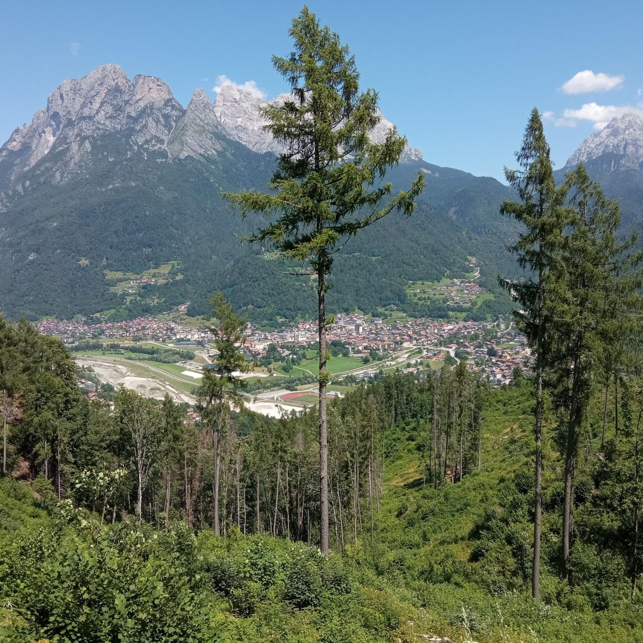
Tips from the Community

Lake Santa Croce, located in the picturesque basin of Alpago in the province of Belluno, is the largest body of water in the province and the second largest in the Veneto region. Surrounded by the majestic peaks of the Belluno Prealps, this natural lake is famous for its scenic beauty and its particular thermal conditions. The constant wind that blows regularly from early afternoon has made it an internationally renowned destination for lovers of water sports such as kitesurfing, windsurfing, and sailing. For those who prefer dry land or a more relaxed pace, the shores offer equipped beaches, a cycle path that circles the entire basin, and the extraordinary Sbarai Nature Oasis, a site of great value for birdwatching where you can walk admiring a rich avian fauna among majestic white willows.
0
0


Lake Santa Croce, the largest in the province of Belluno and the second largest in the Veneto region, is a natural lake formed by a landslide that closed off the Val Lapisina, blocking the Piave River's descent towards Vittorio Veneto and creating the Sella del Fadalto. Located in the Alpago area between Farra d'Alpago, Puos d'Alpago, and Ponte nelle Alpi, on the border with the province of Treviso, it is a body of water that reflects the mountains of the Alpago and the Nevegal in its crystal-clear waters. The villages along the shores still preserve examples of typical stepped-house architecture with roofs made of stone slabs, straw, and marsh reeds.
2
0

The beautiful Santa Croce lake in Farra d'Alpago.
17
0

This road has been repaired as of 2025 and is passable by bike. Check Google Street View.
2
0

Lake Alleghe is a natural lake in the province of Belluno, Italy. It lies within the municipalities of Rocca Pietore and Alleghe. Its surface area is approximately 0.40 km² and its circumference is about 4.5 km.
0
0

The Staulanza Pass (1,766 m above sea level) is a Dolomite mountain pass located between the slopes of Mount Crot (Civetta Group) and those of Pelmetto (Pelmo Massif). It belongs to the municipality of Val di Zoldo, near the borders with Selva di Cadore and Borca di Cadore. It is crossed by the SP 251 road, which connects the Val di Zoldo with the Val Fiorentina. The Staulanza refuge stands at the pass. The pass is a convenient starting point for hikes around Pelmo, Civetta, and Croda da Lago.
1
0
Perfectly hit, it is an enjoyable climb up here
3
0
Frequently Asked Questions
How many road cycling routes are available around Rivamonte Agordino?
You can explore over 40 road cycling routes in the Rivamonte Agordino area, offering a wide range of distances and elevation gains suitable for various skill levels.
Are there any road cycling routes suitable for beginners in Rivamonte Agordino?
While the region is primarily known for its challenging mountainous terrain, there is at least one route classified as easy. Most routes are moderate to difficult, so beginners should carefully check route profiles before setting out.
What are some of the more challenging road cycling routes in the area?
Rivamonte Agordino is renowned for its demanding mountain passes. Notable challenging routes include the Falzarego Pass – Campolongo Pass loop from Voltago Agordino, which covers nearly 119 km with significant climbs, and the Duran Pass – Dont Village loop from Brugnàch, featuring over 2400 meters of elevation gain.
What is the typical length and duration of road cycling routes in Rivamonte Agordino?
Routes vary significantly, from shorter loops like the Lake Alleghe – Lake Alleghe loop from Brugnàch at about 48 km (around 2.5-3 hours), to extensive tours such as the Pedavena Brewery – Cereda Pass loop from Dolomites, which is 120 km and can take over 6 hours to complete.
Are there any circular road cycling routes in Rivamonte Agordino?
Yes, many of the popular road cycling routes in the region are designed as loops. Examples include the Falzarego Pass – Campolongo Pass loop and the Lake Alleghe – Lake Alleghe loop, allowing you to start and finish at the same point.
What kind of scenic viewpoints can I expect along the road cycling routes?
The routes offer extensive views of the Dolomites, characterized by limestone formations and alpine forests. You'll encounter panoramic vistas from mountain passes like Duran Pass, and picturesque lake views, particularly around Lake Alleghe.
What do other road cyclists enjoy the most about road cycling in Rivamonte Agordino?
The area is highly rated by the komoot community, with an average score of 4.8 stars from nearly 100 reviews. Cyclists frequently praise the challenging mountain passes, the stunning Dolomite scenery, and the varied terrain that provides a rewarding experience.
What is the best time of year for road cycling in Rivamonte Agordino?
The summer months are generally ideal for road cycling in Rivamonte Agordino. During this period, mountain passes are typically clear of snow, and the weather conditions are most favorable for tackling the region's demanding climbs and enjoying the scenic views.
Are there any interesting landmarks or attractions to see along the road cycling routes?
Yes, several routes pass by or near notable landmarks. You might encounter mountain huts such as Bruto Carestiato Hut or Treviso Hut in Val Canali. The routes also offer views of natural features like Lake del Mis and the Val Falcina Nature Trail.
Are there road cycling routes that include cafe or refreshment stops?
Many routes in the Dolomites region, including those around Rivamonte Agordino, pass through small villages or near mountain huts where you can find cafes and restaurants. Planning your route with komoot allows you to identify potential stops for refreshments along the way.
Is public transport available to access road cycling routes in Rivamonte Agordino?
Public transport options in the mountainous Agordino region can be limited, especially for carrying bicycles. It's advisable to check local bus schedules and policies regarding bike transport in advance. Many cyclists prefer to drive to a starting point with parking.
Where can I find parking for road cycling routes in Rivamonte Agordino?
Parking is typically available in the main towns and villages that serve as starting points for routes, such as Voltago Agordino or near Lake Alleghe. Look for designated parking areas in these locations, especially near trailheads or town centers.
Most popular routes around Rivamonte Agordino
Most popular attractions around Rivamonte Agordino

Get inspired with the komoot mobile app


Explore more
Browse the best Road cycling routes in other regions.
