The best walks and hikes around Strengberg
4.5
(1327)
9,013
hikers
40
hikes
Hiking around Strengberg offers diverse landscapes characterized by rolling hills and lush green meadows, providing views of the surrounding countryside. The region is influenced by its proximity to the Enns and Danube rivers, featuring riverine environments and old Danube arms. Situated in the Mostviertel region, the area also includes agricultural landscapes with pear orchards.
Best hiking trails around Strengberg
- The most popular hiking route is Altarm Loop Trail Wallsee – Danube Oxbow Loop loop from Katastralgemeinde Limbach, a 4.8…
Last updated: July 5, 2026
4.8
(216)
1,045
hikers
Easy hike. Great for any fitness level. Easily-accessible paths. Suitable for all skill levels.
4.7
(221)
1,020
hikers
13.5km
03:34
130m
130m
Moderate hike. Good fitness required. Easily-accessible paths. Suitable for all skill levels.

Sign up for free
4.7
(3)
13
hikers
12.1km
03:19
200m
200m
Moderate hike. Good fitness required. Easily-accessible paths. Suitable for all skill levels.
19
hikers
7.04km
01:56
110m
110m
Easy hike. Great for any fitness level. Easily-accessible paths. Suitable for all skill levels.
5.0
(1)
10
hikers
9.94km
02:42
150m
150m
Moderate hike. Good fitness required. Easily-accessible paths. Suitable for all skill levels.
Get access to more routes and recommendations from other explorers.
Sign up for free
Already have an account?
Our route recommendations are based on thousands of hikes, rides, and runs completed by other people on komoot.
Start today with a free account
Your next adventure awaits.
Login or Signup
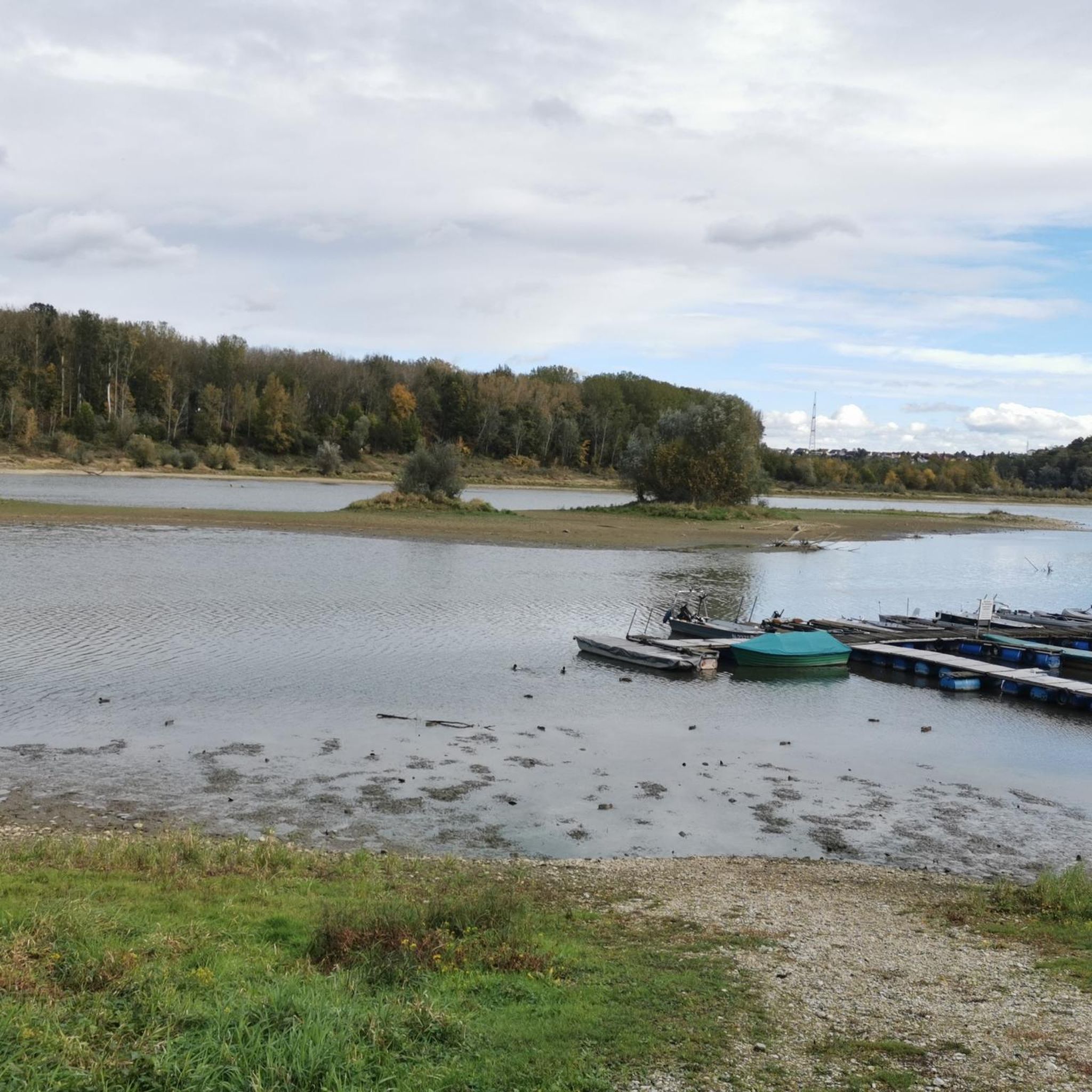
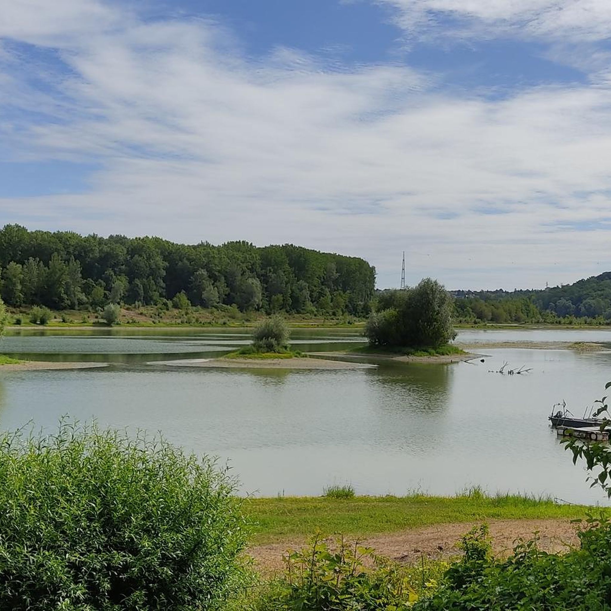
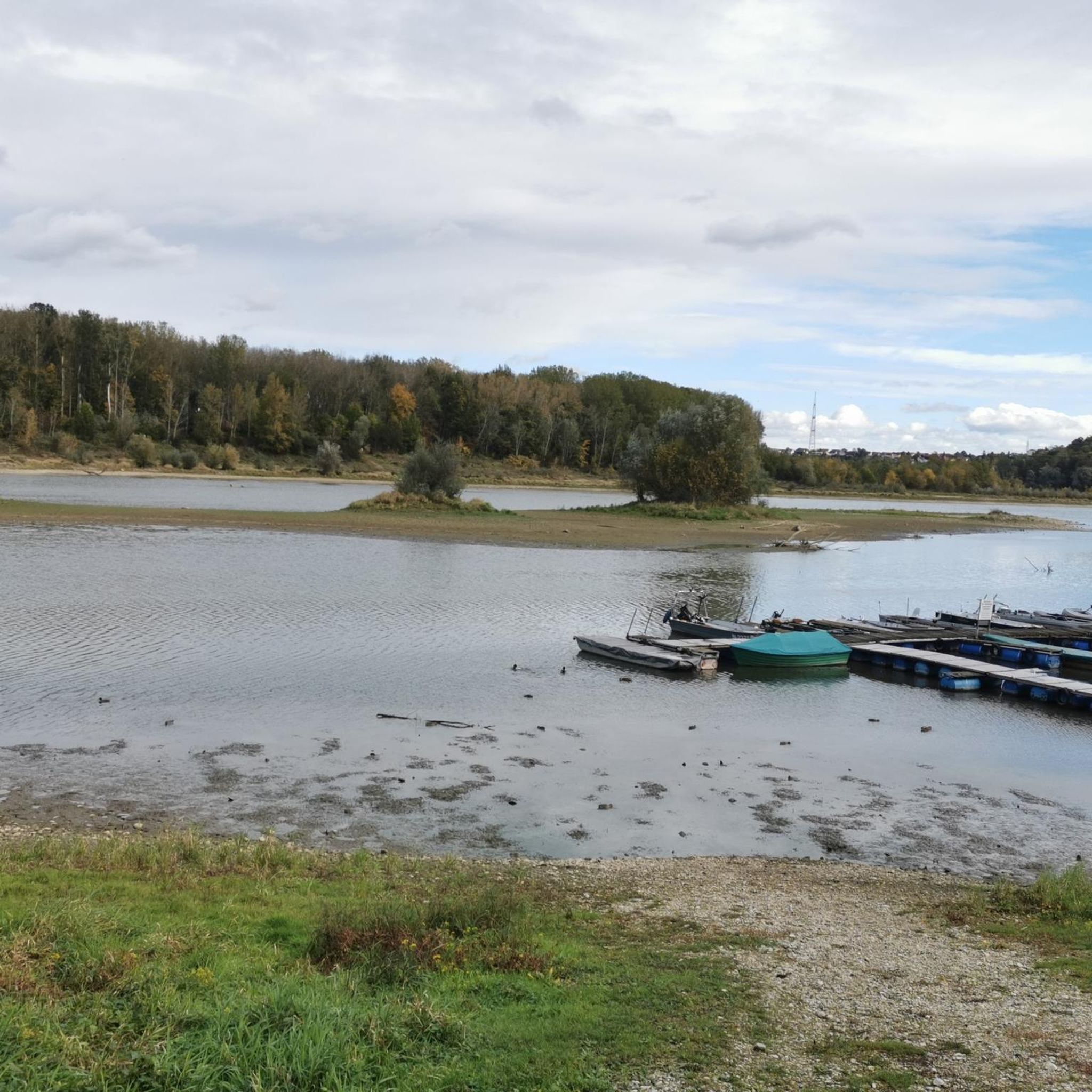
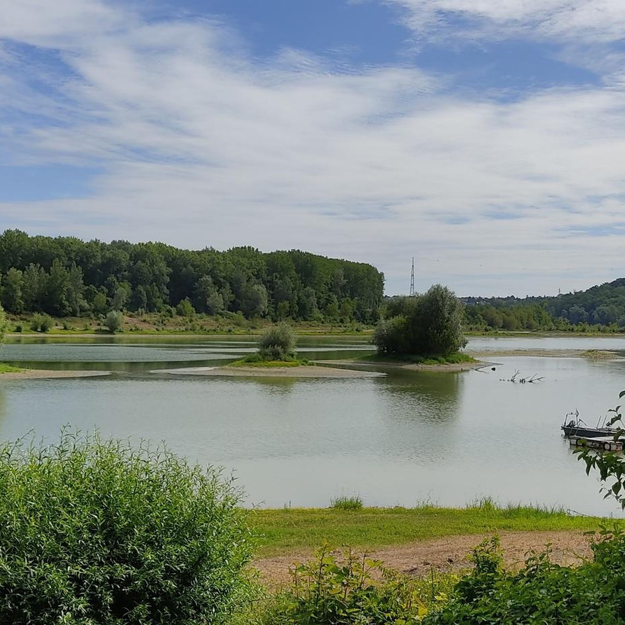

Tips from the Community

Sindelburg Church
0
0

Rest point and information board
1
0
self-service drinks stall
0
0

Unfortunately closed due to theft and vandalism!!
0
0

Very beautiful section of the Danube Cycle Path!
1
0

The self-service shelf is no longer manned due to theft and vandalism. What a shame – and all because of a few idiots!
0
0

Nice place with some nice spots
6
1
Frequently Asked Questions
How many hiking trails are available in Strengberg?
Strengberg offers a diverse network of over 40 hiking trails. These routes cater to various preferences, from leisurely strolls to more challenging excursions, allowing you to explore the region's unique landscapes.
What kind of terrain can I expect on hikes around Strengberg?
The terrain around Strengberg is characterized by rolling hills and lush green meadows, offering panoramic views of the surrounding countryside, including the Lower Austrian Alps on clear days. Many trails also feature a riverine environment, following the banks of the Enns and Danube rivers, including old Danube arms with diverse plant and animal species. As part of the Mostviertel region, you'll also encounter agricultural landscapes with traditional pear orchards.
Are there many circular hiking trails in Strengberg?
Yes, Strengberg is well-suited for circular hikes. The region has several dedicated circular trails, including the historically significant Donaublickweg, Kirchenweg, and Römerweg. You can also find popular komoot routes like the Altarm Loop Trail Wallsee – Danube Oxbow Loop loop from Katastralgemeinde Limbach, which is an easy 4.8-mile (7.7 km) loop, or the longer Danube Oxbow Loop – Wallsee Town Square loop from Strengberg, a moderate 7.5-mile (12.1 km) option.
What natural features or landmarks can I see while hiking?
While hiking around Strengberg, you can explore several interesting natural features and landmarks. The region is known for its riverine landscapes, including the Danube Floodplains Near Mitterkirchen (highlight) and the scenic Danube Oxbow Loop (highlight). You might also encounter the Sluice with fish ladder (highlight), offering insights into local aquatic life, or the tranquil Moar-Lacke (highlight). The historic Wallsee Town Square is also a notable stop along some routes.
Are there family-friendly hiking options in Strengberg?
Yes, Strengberg offers several easy trails suitable for families. The Altarm Loop Trail Wallsee – Danube Oxbow Loop loop from Katastralgemeinde Limbach is an easy 4.8-mile (7.7 km) route that follows an old branch of the Danube, providing beautiful views and passing through shorelines and floodplain areas, making it enjoyable for all fitness levels.
When is the best time of year to hike in Strengberg?
The Mostviertel region, where Strengberg is located, is particularly beautiful in spring when the pear orchards are in bloom, and in autumn when the leaves change color. Summer offers warm weather for exploring the riverine landscapes. While specific winter hiking details are not provided, the rolling hills and meadows can offer picturesque snowy scenes, though some paths might be less accessible.
Can I bring my dog on the trails in Strengberg?
Generally, dogs are welcome on hiking trails in rural areas like Strengberg. However, it's always recommended to keep your dog on a leash, especially in agricultural areas, near livestock, or in nature protection zones. Please be mindful of local regulations and other hikers.
What are the difficulty levels of hikes in Strengberg?
Strengberg's hiking network includes a good mix of difficulty levels. You'll find 25 easy routes, perfect for a relaxed walk, and 18 moderate trails for those seeking a bit more challenge. There are no difficult routes listed, making the area accessible to a wide range of hikers.
What do other hikers enjoy most about Strengberg?
The komoot community highly rates hiking in Strengberg, with an average score of 4.9 stars from over 400 reviews. Hikers often praise the diverse landscapes, including the scenic riverine environments and rolling hills, as well as the well-maintained paths. The blend of natural beauty and cultural elements, like the Mostviertel's pear orchards, also contributes to a highly enjoyable experience.
Are there trails along the Danube or Enns rivers?
Yes, the region's proximity to the Enns and Danube rivers means many trails feature riverine environments. The Altarm Loop Trail Wallsee – Danube Oxbow Loop loop from Strengberg is a moderate 8.4-mile (13.5 km) path that specifically explores the Danube oxbow, offering extensive views of the river landscape and its unique ecosystems.
Can I experience the Mostviertel region's unique character on a hike?
Absolutely. Strengberg is situated in the Mostviertel ('Cider Quarter') of Lower Austria, a region famous for its pear orchards and traditional cider production. Many hiking routes traverse these agricultural landscapes, allowing you to experience the unique cultural dimension and scenic beauty of this renowned region.
Are there any trails that lead past historic towns or villages?
Yes, some routes offer a glimpse into the local culture and history. For example, the Danube Oxbow Loop – Wallsee Town Square loop from Strengberg is a 7.5-mile (12.1 km) trail that not only explores the Danube oxbow but also leads past the historic Wallsee Town Square, a tranquil village with a rich past, perfect for a pleasant stop.
Most popular routes around Strengberg
Most popular attractions around Strengberg

Get inspired with the komoot mobile app


Explore more
Browse the best Hikes in other regions.
