The best MTB trails around San Fior
4.4
(888)
5,941
riders
300
rides
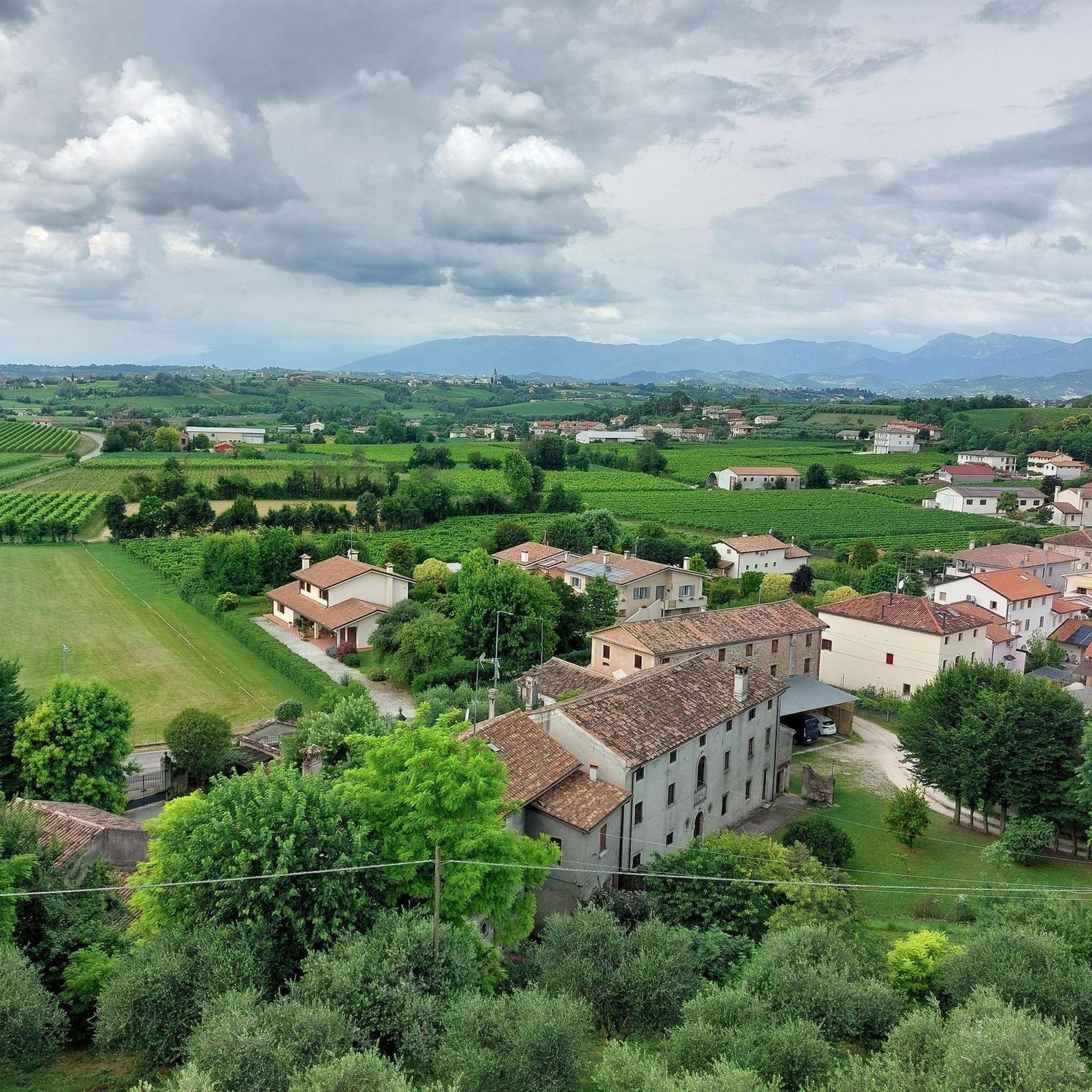
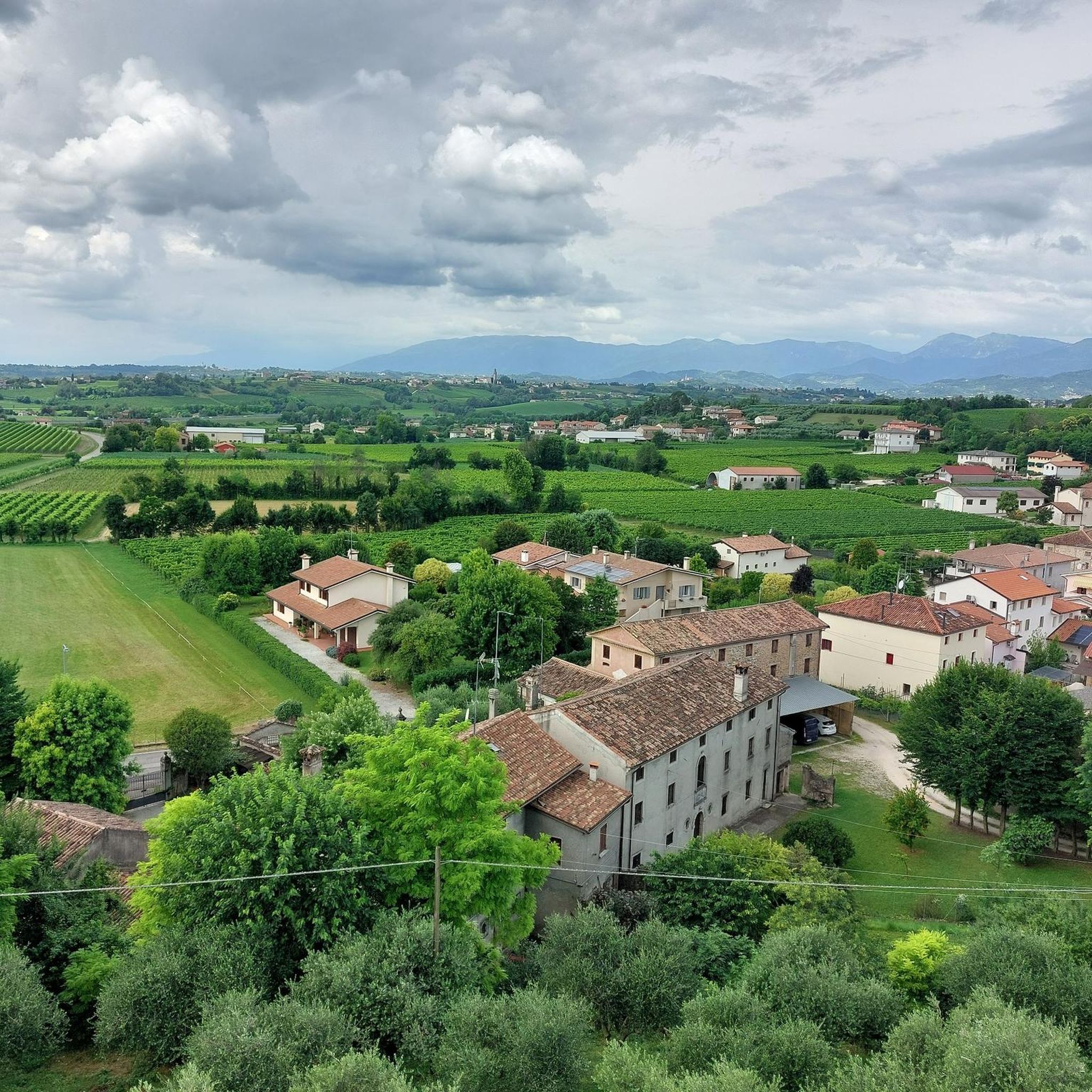
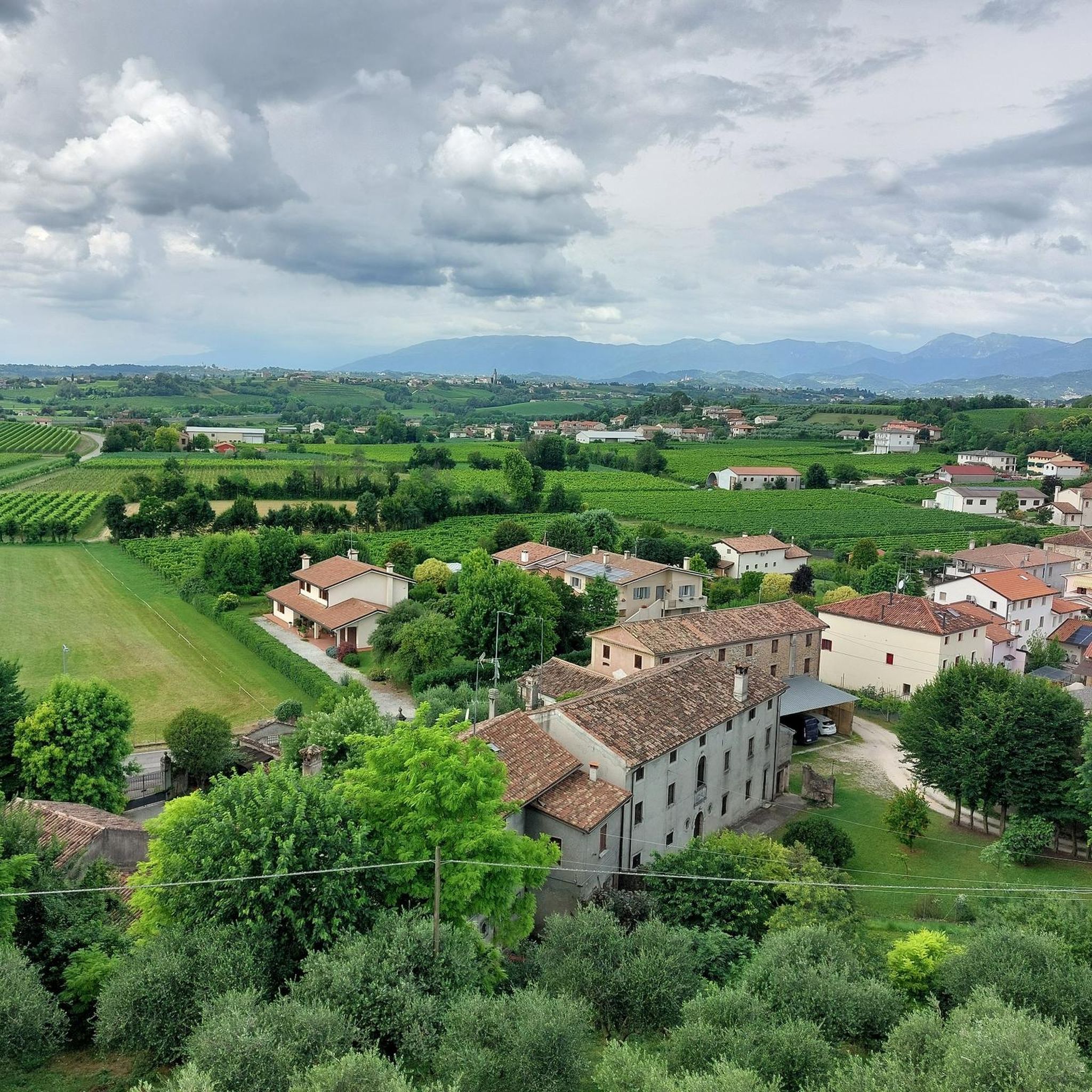
Mountain bike trails around San Fior are situated in the Province of Treviso, Veneto, Italy, offering diverse terrain for cycling. The region is characterized by rolling hills, vineyards, and proximity to the Prealps, providing varied elevation profiles. Mountain bikers can expect routes that traverse agricultural landscapes, forested areas, and river valleys. The area's geography supports a range of mountain biking experiences, from moderate rides through scenic countryside to more challenging routes with significant climbs.
Best mountain bike trails around San…
Last updated: July 6, 2026
4.9
(16)
56
riders
71.6km
06:15
1,860m
1,860m
Hard mountain bike ride. Very good fitness required. Advanced riding skills necessary. Some portions of the route may require you to push your bike.
5.0
(4)
60
riders
54.1km
03:42
760m
760m
Moderate mountain bike ride. Good fitness required. Suitable for all skill levels.

Sign up for free
4.3
(4)
37
riders
43.5km
03:04
580m
580m
Moderate mountain bike ride. Good fitness required. Advanced riding skills necessary.
5.0
(2)
37
riders
58.1km
03:51
620m
620m
Moderate mountain bike ride. Good fitness required. Suitable for all skill levels.
5.0
(1)
30
riders
40.2km
02:34
480m
480m
Moderate mountain bike ride. Good fitness required. Advanced riding skills necessary.
Get access to more routes and recommendations from other explorers.
Sign up for free
Already have an account?
Our route recommendations are based on thousands of hikes, rides, and runs completed by other people on komoot.
Start today with a free account
Your next adventure awaits.
Login or Signup

Tips from the Community

Polcenigo, nestled between the springs of the Livenza river and the foothills of the Carnic Prealps, is one of the most beautiful villages in Italy. Its historic center is an elegant network of stately palaces in Venetian style, testifying to the prestige of the noble Polcenigo family. Walking through the alleys, you discover a timeless atmosphere, dominated by the remains of the medieval castle that watches over the village from the top of the hill. The beating heart is Piazza Plebiscito, but the greatest charm lies in the symbiotic relationship with water: canals, old mills, and small bridges create picturesque views. Not far away, the Gorgazzo and Santissima springs offer waters of an almost unreal turquoise blue, making the village a fundamental stop for those seeking historical beauty and nature.
0
0

Pordenone foothills itinerary: St. Christopher's Way
0
0
Piazza Flaminio represents the beating heart and elegant living room of the historic district of Serravalle, in Vittorio Veneto. Completely paved in grey stone, the square is a remarkable example of Renaissance urban planning, defined by a curtain of stately buildings that testify to the glorious past linked to the Serenissima. The Palazzo della Comunità, the ancient seat of the city government, and the Civic Tower overlook it, while the welcoming arcades house historic shops and cafes. The harmony of its proportions and the view of the mountainous landscapes that frame it create a unique theatrical atmosphere, making it one of the most charming squares in the Venetian hinterland, where history can be breathed in every architectural detail.
1
0

On May 25, 1964, a fire completely destroyed the first and second floors, rendering them unusable. The efforts of firefighters and artillerymen who rushed to the scene in force managed to contain the flames and prevent them from spreading to the nearby building. Despite the negative opinion of the Military Engineering Corps regarding restoration work, public opinion and the Belluno CAI Section pushed for yet another reconstruction, finding valid support in Gen. Pietro Torrazzo. This recommenced under the supervision of the 6th Mountain Artillery Regiment of Belluno. The inauguration ceremony was held on August 31, 1968. The seventies still saw the race to "conquer" a spot for television antennas, both military and civilian. The most imposing one, belonging to RAI, was placed a few meters from the refuge, on the north side, and is still there today. A new period of closure and management uncertainties followed. In 1988, the COMILITER of Padua decided on its renovation, which concluded in 1992. In 1993, the State Technical Office proposed a rental fee, and on May 1, 1994, after five years, the refuge reopened under new management. In 1995, the agreement, still in force, was signed. Today, this place represents an act of gratitude for the survival of a heritage entirely belonging to Belluno.
1
0
The idea to erect the first refuge of the CAI section of Belluno was taken during the board meeting of May 20, 1898, and formalized in July 1899. Its function was to support hikers from Belluno and Treviso. The refuge was inaugurated on September 23, 1900, and dedicated to Richard Henry Budden, one of the pioneering figures of mountaineering, proponent of numerous reforestation projects to safeguard the mountain environment, and a sincere friend of the province of Belluno. The construction was built on land donated by the De’ Bertoldi family. After difficult management, also due to the debt situation, during World War I the refuge was set on fire, making it unusable as a shelter. Reconstruction began in September 1938, when a detachment of the 24th battery of the 5th Alpine Artillery Regiment encamped on Col Visentin for the initial excavation operations. It was reopened on August 15, 1946. Based on the project by architect Alfarè, the current small tower was built, adapted into a chapel-shrine for the Fallen of the 5th Mountain Division, a votive tomb that held the lighthouse donated by the Navy and contains the list of brothers fallen in Libya, on Ortigara, on the Carso, on Sabotino, those on the arid Ethiopian plains, and finally those who remained on the fields of Albania, in the Montenegrin gorges, and in the desolate immensity of the Russian steppe.
1
0
Located at an altitude of 1764 meters, Rifugio Col Visentin offers one of the widest and most evocative panoramas of the Veneto Prealps. From here, the view stretches from the Adriatic Sea to Monte Grappa, from Montello to the Dolomites, with spectacular glimpses of iconic peaks such as Pelmo, Civetta, Antelao, Cimon della Pala, Croda Rossa, and the Marmarole. On the clearest days, you can even make out the Croatian coast to the East, and to the West, the gaze extends beyond the Berici Mountains. The refuge is a reference point for summer and winter tourism in Veneto, frequented by hikers, snowshoers, cyclists, and nature lovers in every season. It offers accommodation with breakfast, lunch, and dinner. It is open daily from May to September and on weekends during the rest of the year. Inside the refuge, you will find the highest meteorological station in the Veneto Prealps, as well as three webcams offering real-time images of the landscape. www.rifugiocolvisentin.net
1
0

Worth a photo with your bike!🚴🏻♂️💪🏼🔝🚲
0
0
Frequently Asked Questions
How many mountain bike trails are there around San Fior?
There are over 320 mountain bike trails available around San Fior, offering a wide variety of options for different skill levels and preferences.
Are there mountain bike trails suitable for beginners in San Fior?
Yes, San Fior offers a good selection of trails for beginners. Approximately 50 easy mountain bike routes are available, perfect for those new to the sport or looking for a more relaxed ride through the scenic landscapes.
What kind of terrain can I expect on mountain bike trails in San Fior?
The terrain around San Fior is diverse, characterized by rolling hills, extensive vineyards, and river valleys. You'll find routes traversing agricultural landscapes, forested areas, and some more challenging sections with significant climbs, especially as you approach the Prealps.
Are there any circular mountain bike routes in San Fior?
Yes, many of the mountain bike routes in San Fior are designed as loops. For example, the Troi dei Pai Trail – Picnic area by Lago Morto loop from San Fior is a popular moderate circular route, and the San Salvatore Castle – Collalto Castle loop from Pianzano also offers a scenic circular ride connecting historical sites.
What historical sites or landmarks can I see while mountain biking near San Fior?
The region is rich in history and offers several landmarks. You can explore routes that pass by castles such as Castello di San Salvatore (Susegana) or Conegliano Castle. The San Salvatore Castle – Collalto Castle loop from Pianzano specifically connects these historical sites with scenic views.
Are there any trails that feature waterfalls or natural caves?
Yes, the area offers natural attractions. The Waterfall on the Meschio River – Rifugio Col Visentin loop from Pianzano is a challenging route that leads through mountainous terrain and river valleys, featuring the Meschio River waterfall. Additionally, the Grotte del Caglieron, a natural scenic attraction with caves and waterfalls, is located nearby and can be a destination for an outing.
What do other mountain bikers enjoy most about the trails in San Fior?
The mountain bike trails around San Fior are highly rated by the komoot community, with an average score of 4.4 stars from over 1,000 reviews. Riders often praise the varied landscapes, from rolling hills and vineyards to forested areas, and the options for different difficulty levels, catering to both leisurely rides and more challenging ascents.
Are there any challenging or difficult mountain bike trails in San Fior?
Absolutely. For experienced riders seeking a challenge, there are approximately 75 difficult mountain bike routes. An example is the Waterfall on the Meschio River – Rifugio Col Visentin loop from Pianzano, a 69.1 km trail with significant elevation gain, often completed in about 6 hours.
Can I find trails that offer panoramic viewpoints?
Yes, the hilly terrain and proximity to the Prealps provide numerous opportunities for panoramic views. Routes often pass by viewpoints such as Mount Altare or View of Susegana. The Sanctuary of Santa Augusta, accessible from San Fior, also offers expansive views of Vittorio Veneto and the surrounding plain.
Are the mountain bike trails in San Fior suitable for families?
While specific family-friendly routes are not highlighted in the provided data, the presence of over 50 easy trails suggests there are options suitable for families looking for less strenuous rides. These routes often traverse agricultural landscapes and vineyards, offering a pleasant experience for all ages.
Is there parking available at the trailheads in San Fior?
While specific parking information for individual trailheads is not detailed, San Fior, as a municipality, generally offers public parking options. It's advisable to check local signage or use navigation apps for parking facilities near your chosen starting point.
What is the best season for mountain biking in San Fior?
The Veneto region, where San Fior is located, generally offers pleasant cycling conditions from spring through autumn. Spring brings blooming vineyards, while autumn provides cooler temperatures and vibrant foliage. Summer can be warm, so early morning or late afternoon rides are often preferred.
Most popular attractions around San Fior

Get inspired with the komoot mobile app


Explore more
Browse the best MTB trails in other regions.
