The best cycling routes around Straßlach-Dingharting
4.5
(4219)
35,140
riders
15
rides
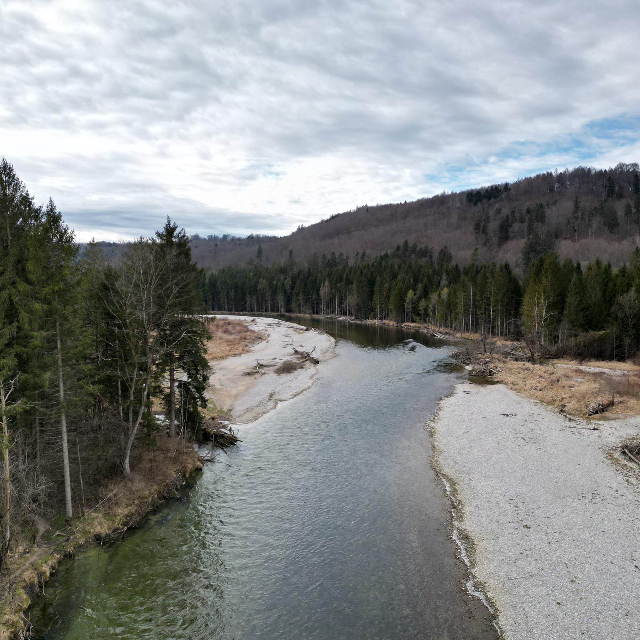
Touring cycling around Straßlach-Dingharting offers routes through varied landscapes, including dense forests, open fields, and areas near the Isar river and canals. The region is characterized by gently rolling terrain with moderate elevation changes, providing accessible cycling for various skill levels. Many routes feature well-maintained cycle paths and quiet country roads, making it suitable for exploring the natural surroundings of Straßlach-Dingharting.
Best touring cycling routes around Straßlach-Dingharting
- The most popular touring cycling route is View of Gleißental Forest – Maypole…
Last updated: June 24, 2026
3.8
(8)
84
riders
31.4km
01:54
230m
230m
Moderate bike ride. Good fitness required. Mostly paved surfaces. Suitable for all skill levels.
5.0
(6)
99
riders
23.6km
01:36
260m
260m
Moderate bike ride. Good fitness required. Mostly paved surfaces. Suitable for all skill levels.

Sign up for free
48
riders
14.2km
01:03
120m
120m
Easy bike ride. Great for any fitness level. Mostly paved surfaces. Suitable for all skill levels.
4.3
(3)
29
riders
35.3km
02:10
290m
290m
Moderate bike ride. Good fitness required. Mostly paved surfaces. Suitable for all skill levels.
3.7
(3)
19
riders
28.1km
02:04
220m
220m
Hard bike ride. Good fitness required. You may need to push your bike for some segments of this route.
Get access to more routes and recommendations from other explorers.
Sign up for free
Already have an account?
Our route recommendations are based on thousands of hikes, rides, and runs completed by other people on komoot.
Start today with a free account
Your next adventure awaits.
Login or Signup
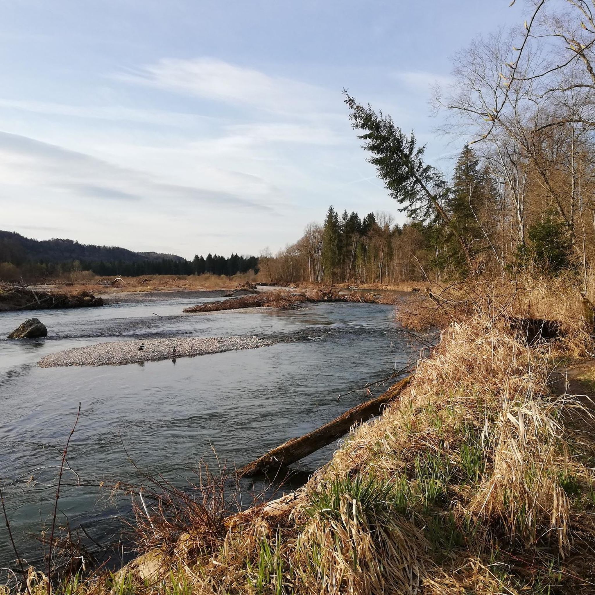
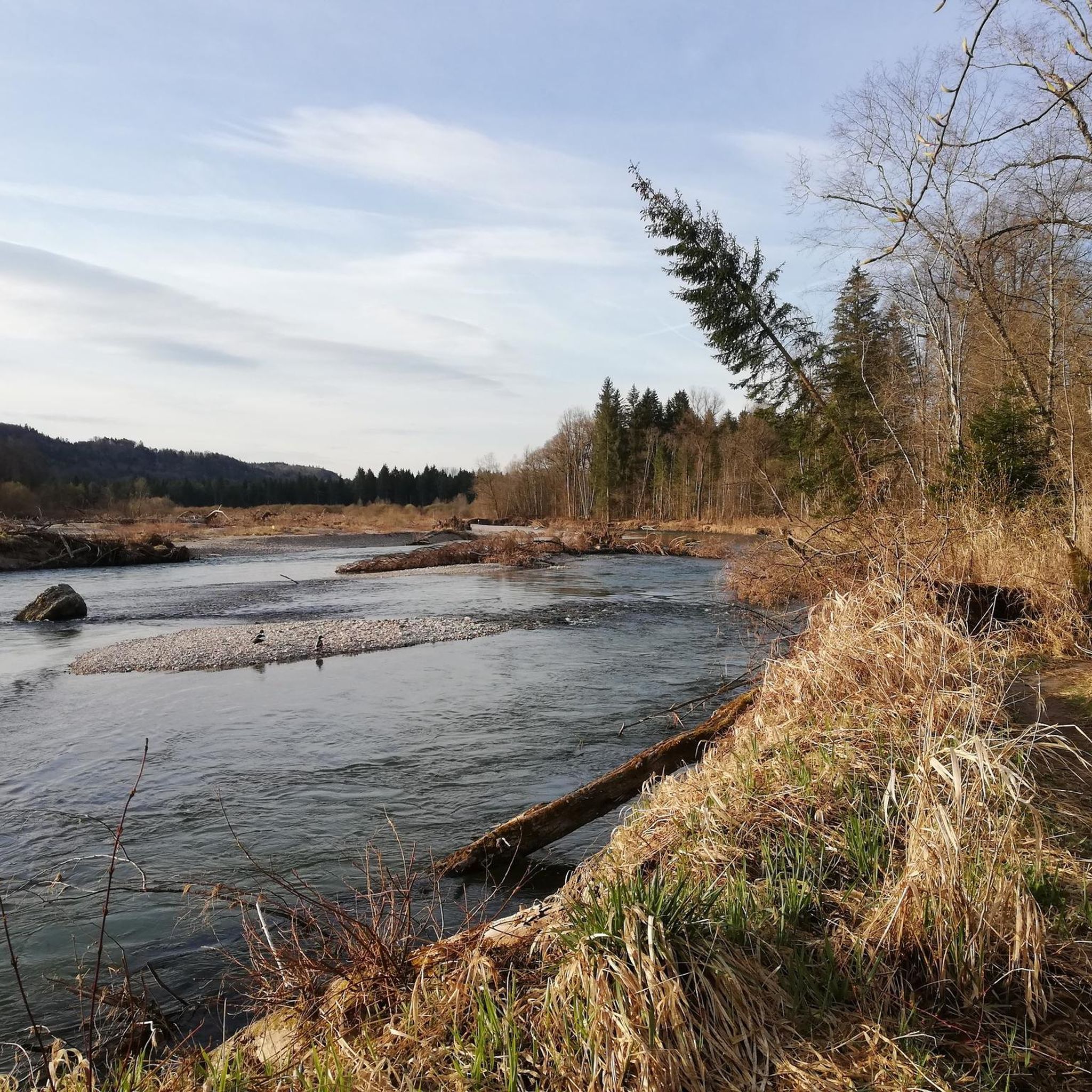
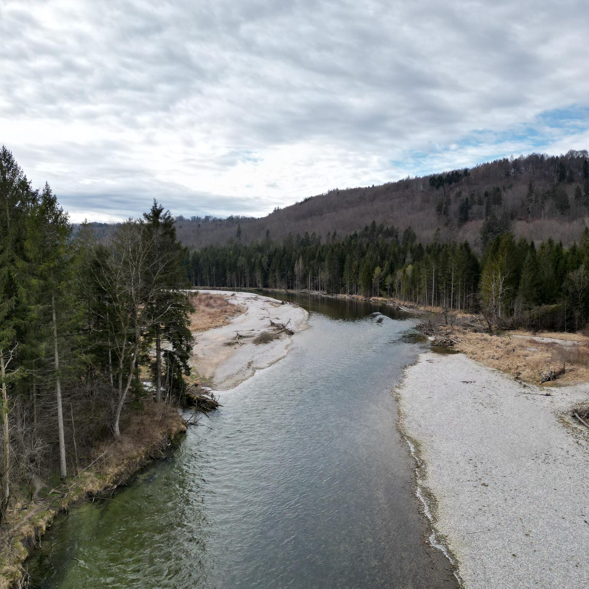
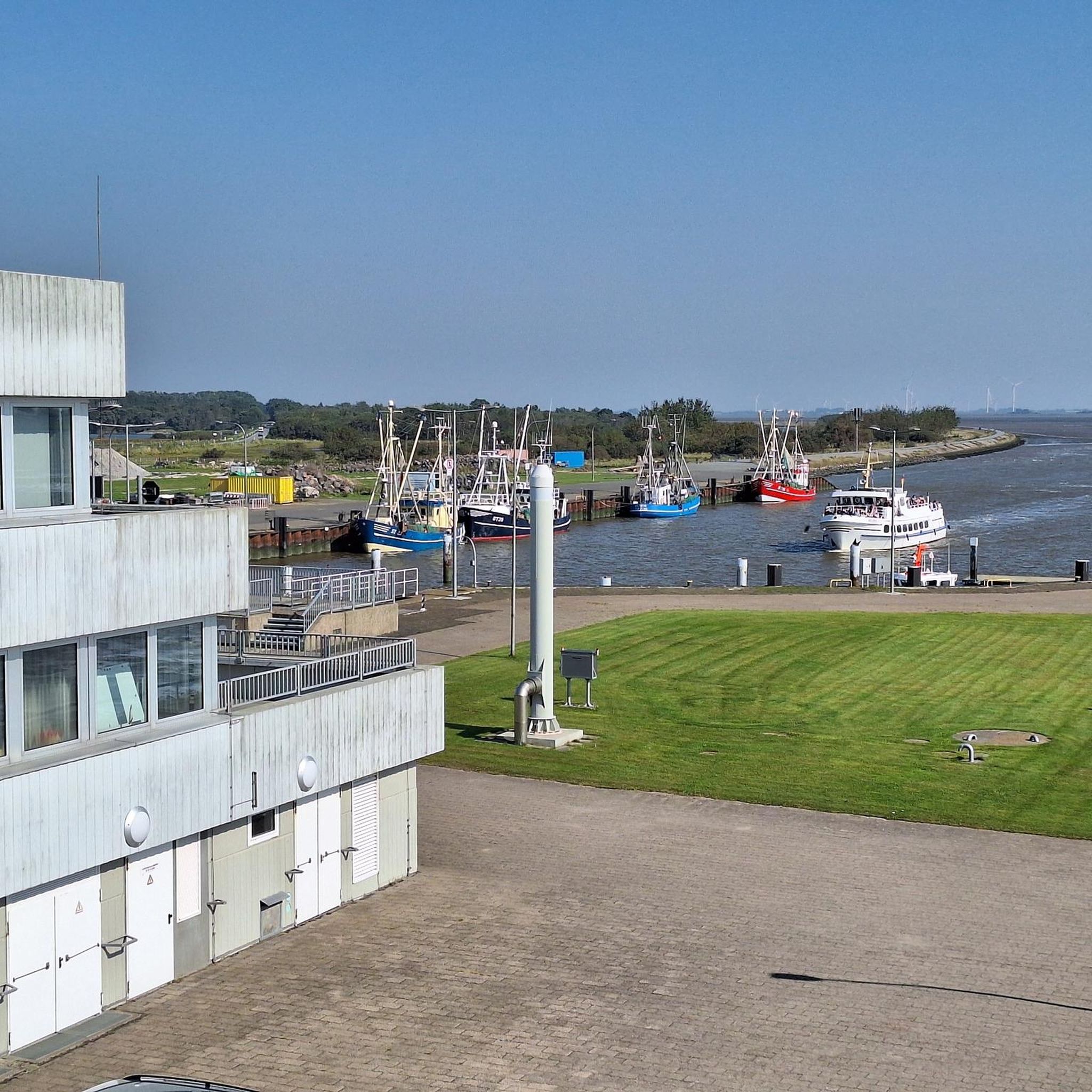
Tips from the Community

great cycle path along the Isarkanal
1
0

Simply enjoy the scenery without just looking at the mudflats. Relax & Enjoy
0
0

Great view!
0
0
Always beautiful! But be careful, there are also pedestrians with children and dogs. We like to leave early!
0
0


Beautiful walk along the Deininger Weiher pond, through the shady forest to the Jägerwirt - great food and back
0
0

super relaxed gravel ride with top surface
0
0
Frequently Asked Questions
How many touring cycling routes are available in Straßlach-Dingharting?
There are 15 touring cycling routes available in Straßlach-Dingharting, offering a variety of experiences through forests, open fields, and along waterways.
Are there easy touring cycling routes suitable for beginners or families?
Yes, Straßlach-Dingharting offers 2 easy touring cycling routes. These routes typically feature gently rolling terrain and well-maintained paths, making them ideal for beginners or families looking for a relaxed ride. One such route is the Cycle Path Towards Straßlach – Between the Isar and the Canal loop from Straßlach, which is 9.5 miles (15.3 km) long.
What kind of terrain can I expect on touring cycling routes in Straßlach-Dingharting?
The region features gently rolling terrain with moderate elevation changes, making it accessible for various skill levels. You'll cycle through dense forests, open fields, and areas near the Isar river and canals. Many routes utilize well-maintained cycle paths and quiet country roads.
Are there any challenging touring cycling routes for experienced riders?
Yes, for more experienced cyclists, there are 5 difficult routes available. These routes often cover longer distances and include more significant elevation gains. An example is the Deininger Moor – Thanninger Pond loop from Gleißentalweiher, which is 17.4 miles (28.0 km) long and features varied terrain.
Are there circular touring cycling routes in Straßlach-Dingharting?
Many of the touring cycling routes in Straßlach-Dingharting are designed as loops, allowing you to start and end at the same point. For instance, the popular View of Gleißental Forest – Maypole and Church in Deining loop from Großdingharting is a 19.3 miles (31.0 km) circular trail.
What are some notable landmarks or attractions I can see along the routes?
Along the routes, you can discover several interesting points. The Between the Isar and the Canal – Schäftlarn Abbey loop from Straßlach leads to the historic Schäftlarn Abbey. You might also encounter viewpoints like the View of the Alps from Ludwigshöhe or the View of the Alps from Perlacher Mugl. The region also features natural highlights such as the Boathouses on Lake Starnberg.
What do other touring cyclists enjoy most about cycling in Straßlach-Dingharting?
The area is highly rated by the komoot community, with an average score of 4.2 stars from over 30 reviews. Cyclists often praise the varied landscapes, including the quiet forests and scenic paths along the Isar river, as well as the well-maintained cycle paths that make for enjoyable rides.
Are there routes that offer scenic views or autumn foliage?
Many routes provide scenic views, particularly those that traverse open fields or offer glimpses of the Alps from higher points like the Ludwigshöhe. The dense forests and tree-lined paths throughout the region, such as those found on the Cycle Path on the Hochleite – Frimmer Chapel loop from Kleindingharting, are especially beautiful during autumn when the foliage changes color.
Can I find less crowded touring cycling routes in Straßlach-Dingharting?
While some popular routes can see more traffic, the extensive network of paths through the Gleißental Forest and across open moorland offers opportunities to find quieter sections. Exploring routes slightly off the main paths or cycling during off-peak hours can lead to a more serene experience.
Are there options for parking near the touring cycling routes?
Yes, many starting points for touring cycling routes in Straßlach-Dingharting, especially in villages like Großdingharting, Straßlach, and Kleindingharting, offer designated parking areas. It's advisable to check the specific route details on komoot for information on parking at the trailhead.
Is public transport accessible to reach the cycling routes?
Straßlach-Dingharting is part of the Munich public transport network (MVV). While direct access to every trailhead might vary, several bus lines connect the villages within the municipality to larger transport hubs, from where you can start your cycling tour. Check local MVV schedules for the most convenient connections.
Are there places to stop for refreshments or cafes along the routes?
Yes, many routes pass through or near villages where you can find cafes, bakeries, or traditional Bavarian inns (Gasthäuser) for refreshments. Planning your route with komoot allows you to identify such stops along your chosen path.
Most popular routes around Straßlach-Dingharting
Most popular attractions around Straßlach-Dingharting

Get inspired with the komoot mobile app


Explore more
Browse the best Cycling routes in other regions.
