The best road cycling routes around Farra Di Soligo
4.4
(550)
14,821
riders
12
rides
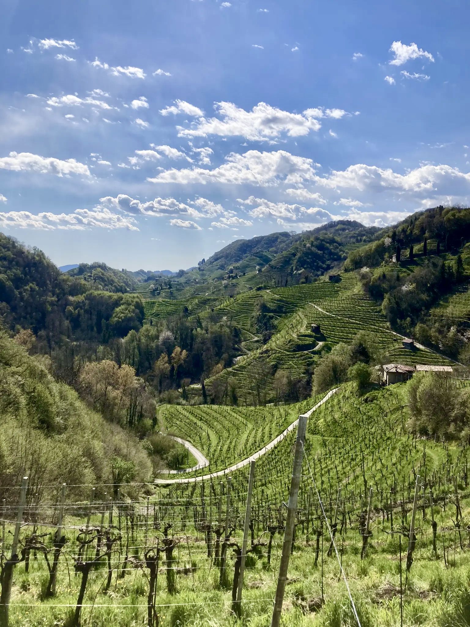
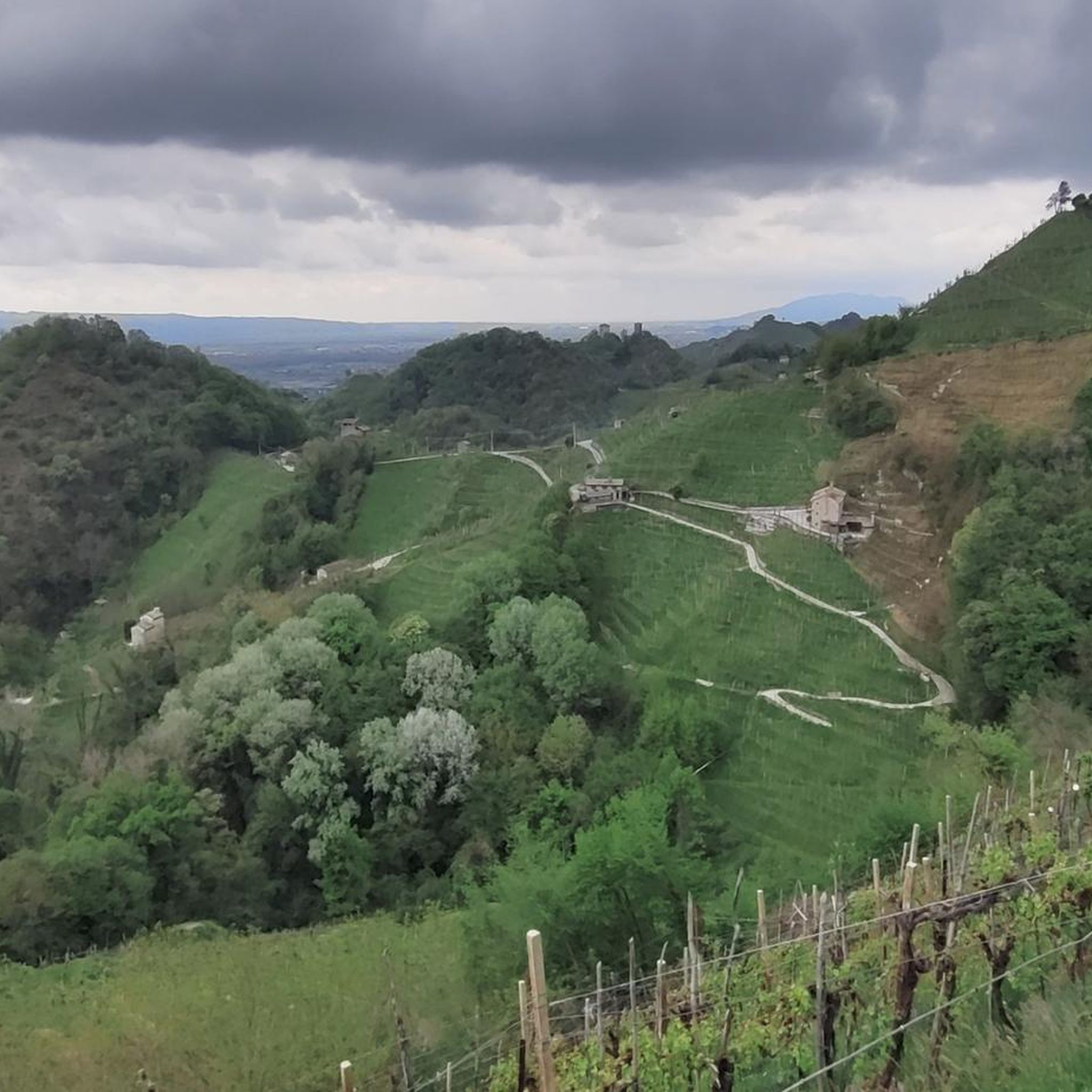
Road cycling routes around Farra di Soligo are set within the distinctive "hogback" hills of Italy's Veneto region, part of the UNESCO World Heritage-listed Prosecco Hills. This landscape features steep, elongated ridges meticulously cultivated with vineyards, interspersed with parallel valleys. Cyclists navigate through a mosaic of vineyards, woods, and streams, with views extending to the Pre-Alps. The terrain offers a mix of challenging ascents and scenic descents.
Best road cycling routes around Farra di Soligo
- The most popular road cycling…
Last updated: October 12, 2026
4.4
(54)
387
riders
61.3km
02:58
780m
780m
Moderate road ride. Good fitness required. Mostly well-paved surfaces and easy to ride.
3.0
(1)
119
riders
45.1km
02:41
1,040m
1,040m
Hard road ride. Very good fitness required. Mostly well-paved surfaces and easy to ride.

3.0
(1)
111
riders
62.8km
02:55
610m
610m
Moderate road ride. Good fitness required. Mostly well-paved surfaces and easy to ride.
71
riders
Moderate road ride. Good fitness required. Mostly well-paved surfaces and easy to ride.
5.0
(1)
51
riders
Moderate road ride. Great for any fitness level. Some segments of this route may be unpaved and difficult to ride.
Get access to more routes and recommendations from other explorers.
Already have an account?
Our route recommendations are based on thousands of hikes, rides, and runs completed by other people on komoot.
Start today with a free account
Your next adventure awaits.
Popular around Farra Di Soligo


Other adventures around Farra Di Soligo

Tips from the Community

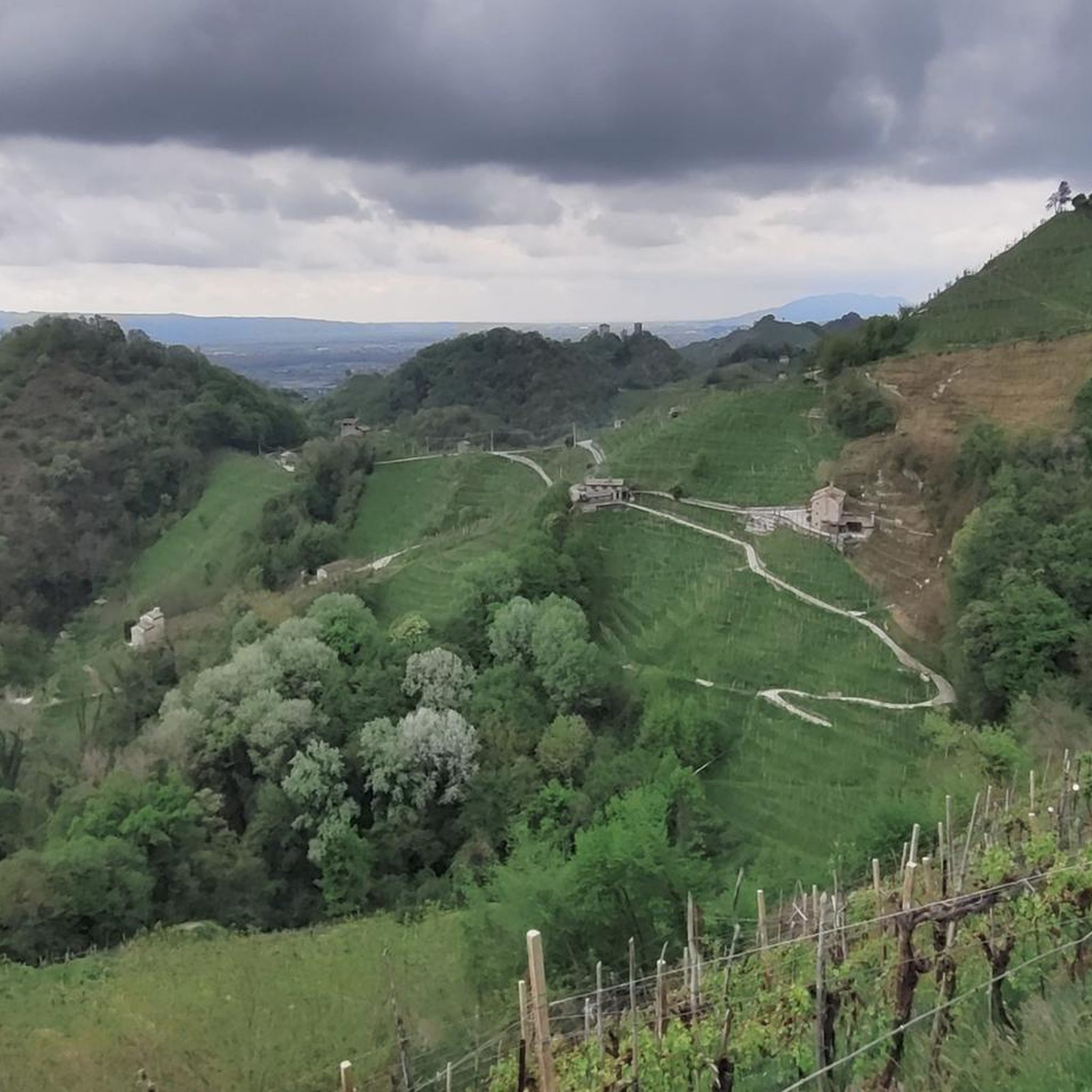
Rolle is a small hamlet of Cison di Valmarino (TV), located in the Treviso Prealps along the panoramic Strada del Prosecco. Main characteristics of the village and vineyards First FAI village: In 2004, it became the first Italian village protected by the Fondo Ambiente Italiano (FAI). UNESCO Heritage: Since 2019, it has been part of the Prosecco Hills of Conegliano and Valdobbiadene, declared a World Heritage Site. Heroic viticulture: The vineyards climb steep slopes and south-facing terraces, requiring manual and strenuous work (often defined as "heroic"). Landscape and architecture: Described by a poet as "a postcard sent by the Gods", the village preserves stone buildings, an ancient Benedictine monastery dating back to the 13th century, and the small church dedicated to Saints Philip and James.
1
0

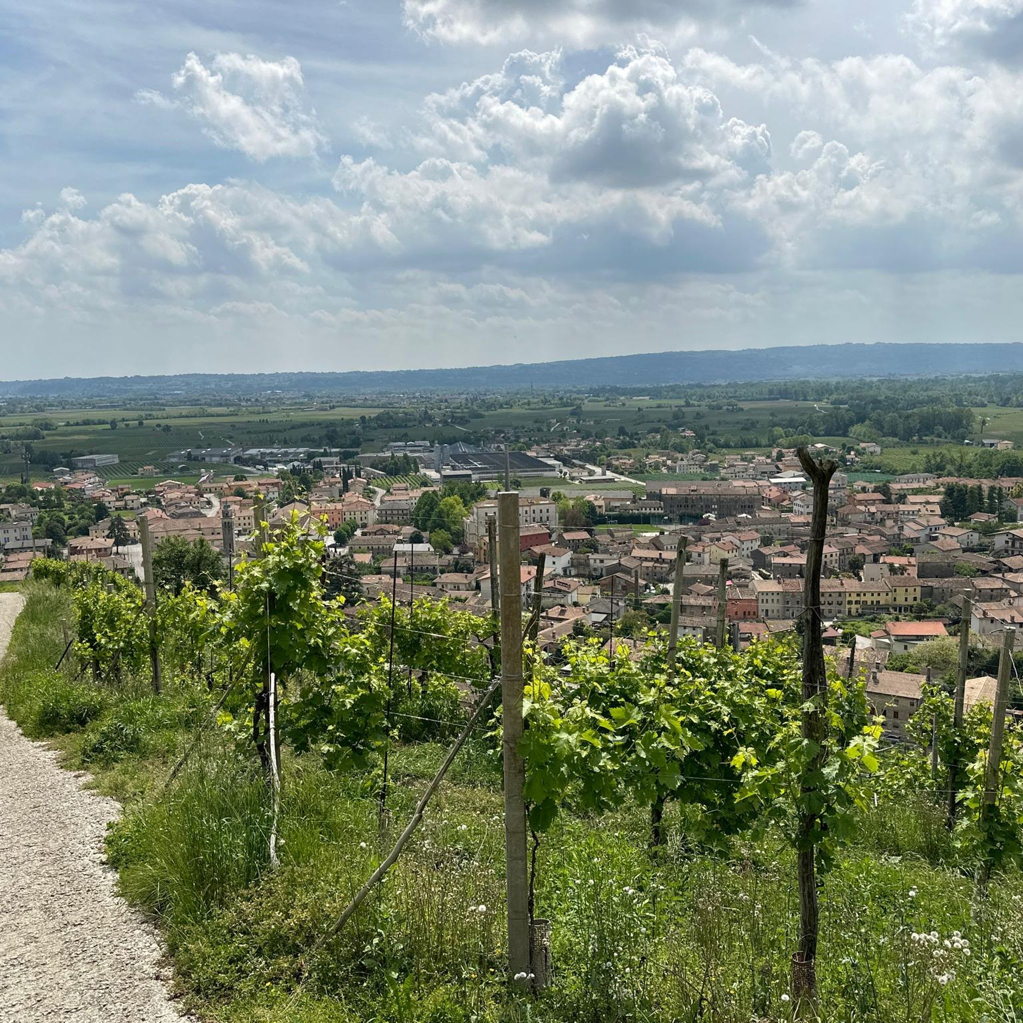
Ascent towards the locality of Pianezze from Valdobbiadene, practically the road begins to climb from meter 0 from Piazza Guglielmo Marconi up to Pianezze. The ascent is almost 11 km long with an average gradient of 7.7% to reach peaks of 13%. The landscape view is fabulous over the Piave valley.
12
0
Piazza Guglielmo Marconi is the main square and the beating heart of the center of Valdobbiadene, in the province of Treviso. It hosts the town hall of the municipality of Valdobbiadene. It is the main meeting place of the town and the ideal starting point for tourist itineraries and excursions among the Prosecco hills. A short walk away are the Duomo di Santa Maria Assunta and the park of Villa dei Cedri.
9
0

Great starting point for hikes on hot days, be sure to inquire about any events that may limit parking spaces in the lot.
0
0
Il Molinetto della Croda, in the Lierza valley, represents one of the most evocative corners of the Marca Trevigiana. In its almost four centuries of history, the ancient mill with a stone grinder has managed to maintain its charm and enchant artists and visitors.
16
0

The parish church of San Lorenzo in Montagna is located in the homonymous hilly hamlet of Vittorio Veneto. Known for being the center of the smallest parish in the entire diocese in terms of population, this reality tells a centuries-old story of rural devotion. It became a curated church in 1605, the original structure was rebuilt in 1637, but it long lacked fundamental elements such as the tabernacle and the baptistery, which were only introduced in the 18th century. The current building is due to the initiative of the parish priest Don Giovanni Mattana, who led its reconstruction in 1866. Immersed in a suggestive pre-Alpine panorama, the church represents an authentic symbol of community identity and resilience, preserving the sober and spiritual charm of small religious centers of the past.
1
0

The Mire road winds through the territory of Corbanese, a hamlet of Tarzo, representing one of the most spectacular stretches of the Prosecco hills. This ridge itinerary ideally connects the area of Tarzo with that of Vittorio Veneto, offering a privileged perspective on the famous "feuds" of the area. The route is characterized by a succession of ups and downs that cut through high-altitude vineyards, where the slopes become extreme and cultivation becomes art. Along the Mire, the horizon opens to the south onto the Trevigiano plain and to the north onto the Belluno Prealps, creating a unique visual contrast between the geometric rigor of the rows and the wild nature of the peaks. It is an iconic place for those seeking silence and the raw beauty of the territory, far from the more trafficked valley routes.
0
0
Frequently Asked Questions
How many road cycling routes are available around Farra di Soligo?
There are over 10 dedicated road cycling routes around Farra di Soligo, catering to various skill levels. These include 2 easy routes, 9 moderate routes, and 1 difficult route, all set within the picturesque Prosecco Hills.
What kind of terrain can I expect on road cycling routes in Farra di Soligo?
The terrain is characterized by distinctive 'hogback' hills, featuring steep, elongated ridges meticulously cultivated with vineyards. You'll experience a mix of challenging ascents and scenic descents through vineyards, woods, and parallel valleys, with views extending to the Pre-Alps.
Are there challenging road cycling routes with significant elevation gain in the area?
Yes, Farra di Soligo offers routes with significant elevation gain. For instance, the Campanile di San Giovanni – Locanda Sandi loop from Col San Martino is a difficult 46 km path with over 1000 meters of elevation gain, perfect for experienced cyclists seeking a challenge.
What are some scenic viewpoints or natural features to look out for on the routes?
The region is rich in scenic beauty. You'll find breathtaking views of the Prosecco Hills and the prealpine ridge. Keep an eye out for the charming 17th-century Molinetto della Croda water mill, the unique San Boldo Pass, and the serene Lago di Lago and Revine Lakes. The Terraced Vineyards of Rolle also offer stunning vistas.
Are there any historical landmarks or cultural sites along the road cycling routes?
Yes, as you cycle through the region, you can encounter silent chapels, sacred buildings, and historical sites. Notable structures include Villa Savoini and Villa Caragiani – Badoer. You might also spot the remains of a medieval castle on San Gallo hill or the 'linea dei castellieri' indicating ancient human settlements. For more historical sites, you can explore Castles around Farra Di Soligo.
What is the best time of year for road cycling in Farra di Soligo?
The Prosecco Hills offer a captivating landscape that changes with the seasons, making it enjoyable for cycling for much of the year. Spring and autumn generally provide pleasant temperatures and beautiful scenery, with the vineyards transforming from lush green to vibrant autumnal hues. Summer can be warm, but early morning rides are often ideal.
Are there circular road cycling routes available?
Yes, many of the routes around Farra di Soligo are designed as loops, allowing you to start and finish in the same location. An example is the Villa Barbaro (Villa di Maser) – Asolo Fountain loop from Col San Martino, which is a 62.8 km moderate trail.
What do other road cyclists enjoy most about cycling in Farra di Soligo?
The area is highly rated by the komoot community, with an average score of 4.4 stars from over 300 reviews. Cyclists often praise the stunning vineyard landscapes, the challenging yet rewarding climbs, and the charming villages and historical sites encountered along the way. The unique 'hogback' hills and views of the Pre-Alps are frequently highlighted.
Are there any easy or beginner-friendly road cycling routes?
Yes, while the region is known for its rolling hills, there are easier options. The area offers 2 routes classified as easy, providing a gentler introduction to road cycling in the Prosecco Hills. These routes typically feature less elevation gain and shorter distances.
Can I find routes that pass by local cafes or restaurants for a break?
The region is dotted with charming villages and wineries along routes like the Prosecco Wine Road. Many routes will naturally pass through or near towns where you can find cafes and restaurants to refuel and enjoy local specialties. While specific stops aren't listed for every route, the local culture embraces hospitality, making it easy to find places to pause.
Are there options for longer distance road cycling routes?
Yes, Farra di Soligo offers several routes suitable for longer rides. For example, the Molinetto della Croda – Rolle loop from Col San Martino covers 61.3 km, and the Villa Barbaro (Villa di Maser) – Asolo Fountain loop from Col San Martino is 62.8 km, providing ample distance for a substantial day out on the bike.
Is public transport available to reach the cycling routes in Farra di Soligo?
While the region is best explored by bike, some local bus services connect the smaller towns. However, for direct access to specific route starting points, especially with a bike, it's often more convenient to use a car or arrange local transfers. Checking local bus schedules in advance is recommended if relying on public transport.
Most popular routes around Farra Di Soligo
Most popular attractions around Farra Di Soligo

Get inspired with the komoot mobile app


Explore more
Browse the best Road cycling routes in other regions.
