The best running trails around Gaiarine
4.3
(90)
4,205
runners
18
runs
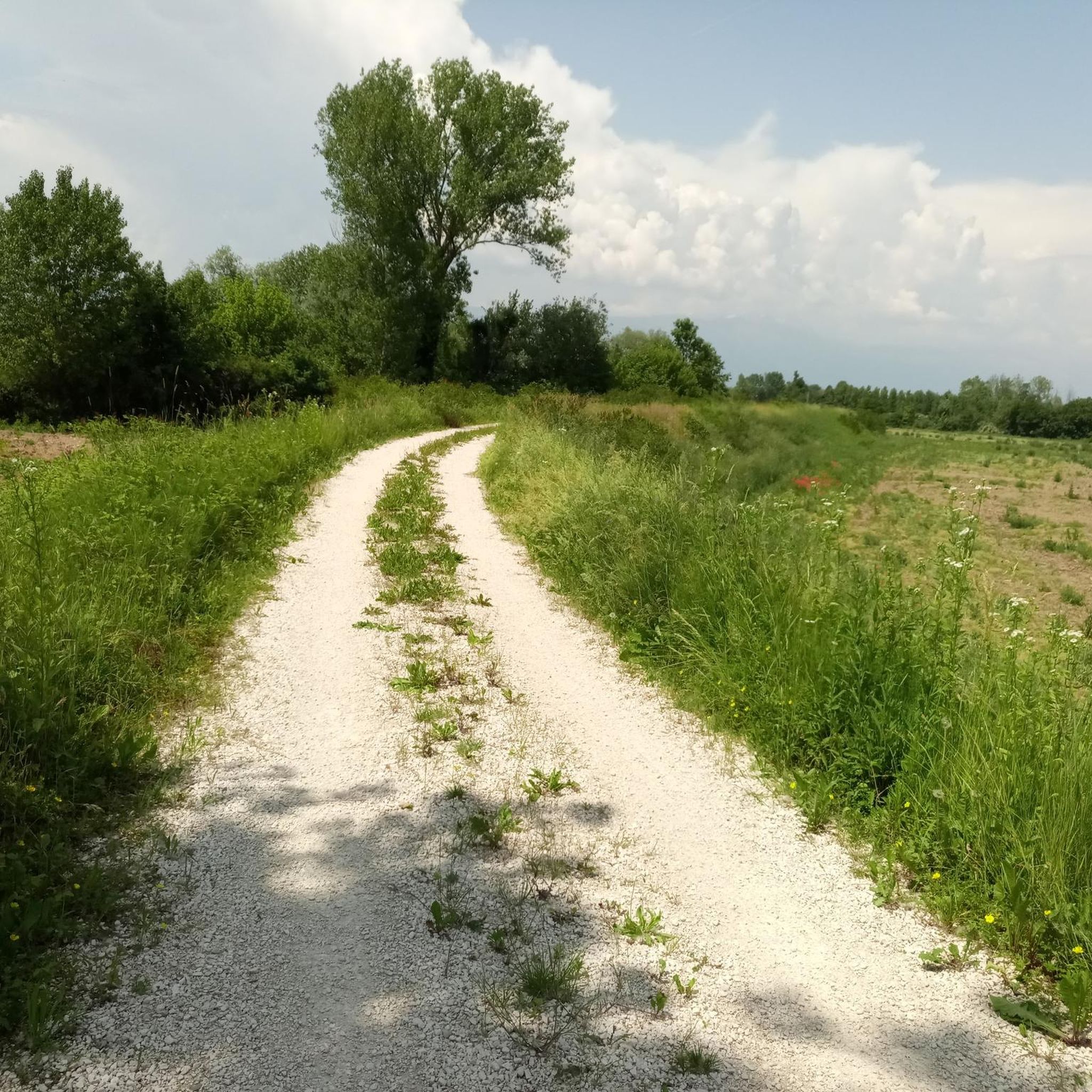
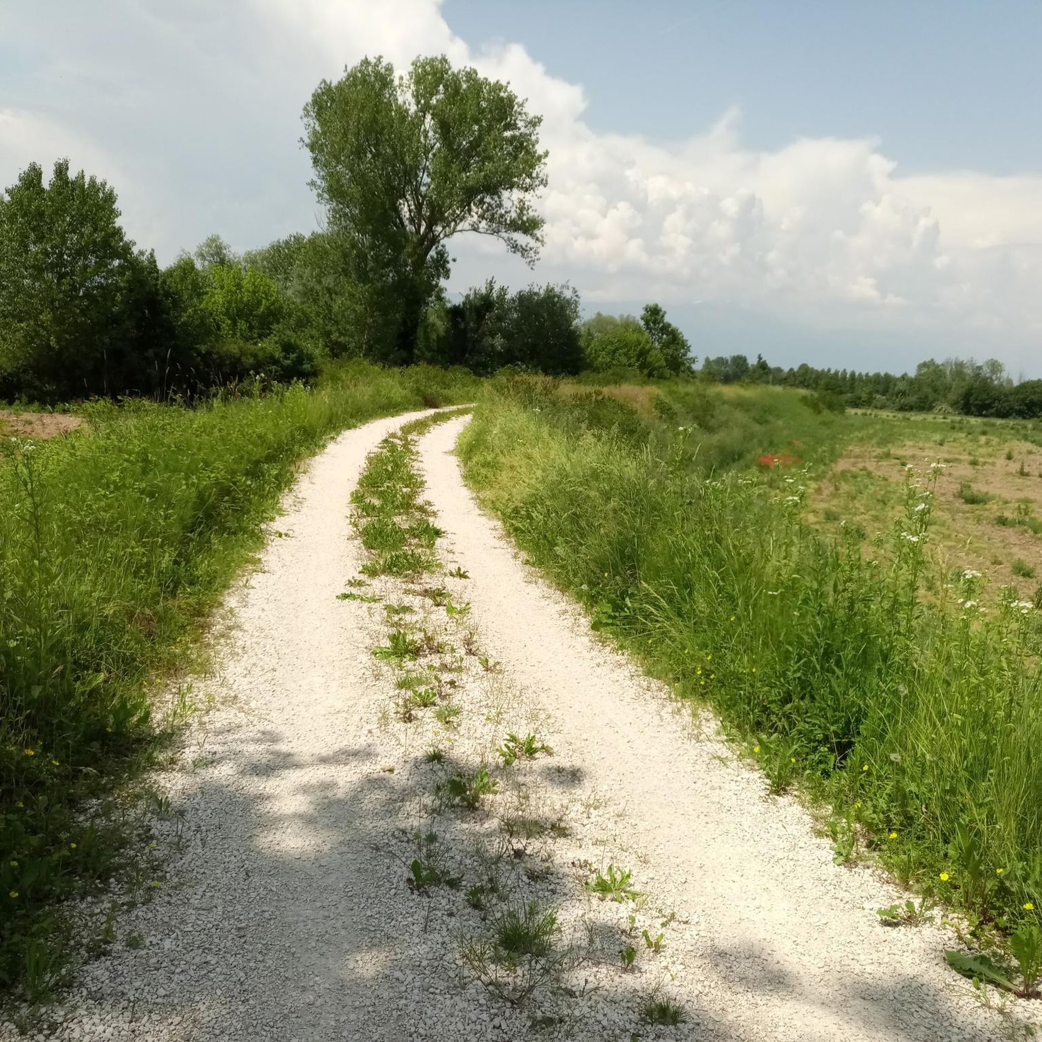
Jogging around Gaiarine offers a network of routes primarily characterized by flat terrain and gentle gradients, ideal for accessible running. The region features rural landscapes, passing through agricultural areas and small villages. With minimal elevation changes, the percorsi corsa Gaiarine provide a relaxed experience for runners of all levels.
Best jogging routes around Gaiarine
- The most popular jogging route is Running loop from Gaiarine, a 4.2 miles (6.7 km) trail that takes about 41 minutes to complete. This route…
Last updated: October 13, 2026
14
runners
6.70km
00:41
10m
10m
Moderate run. Good fitness required. Mostly paved surfaces. Suitable for all skill levels.
13
runners
6.24km
00:41
10m
10m
Moderate run. Good fitness required. Mostly paved surfaces. Suitable for all skill levels.

7
runners
8.03km
00:50
10m
10m
Moderate run. Good fitness required. Mostly paved surfaces. Suitable for all skill levels.
5
runners
11.7km
01:13
20m
20m
Moderate run. Good fitness required. Mostly paved surfaces. Suitable for all skill levels.
3
runners
4.73km
00:29
10m
10m
Easy run. Great for any fitness level. Mostly paved surfaces. Suitable for all skill levels.
Get access to more routes and recommendations from other explorers.
Already have an account?
Our route recommendations are based on thousands of hikes, rides, and runs completed by other people on komoot.
Start today with a free account
Your next adventure awaits.
Tips from the Community

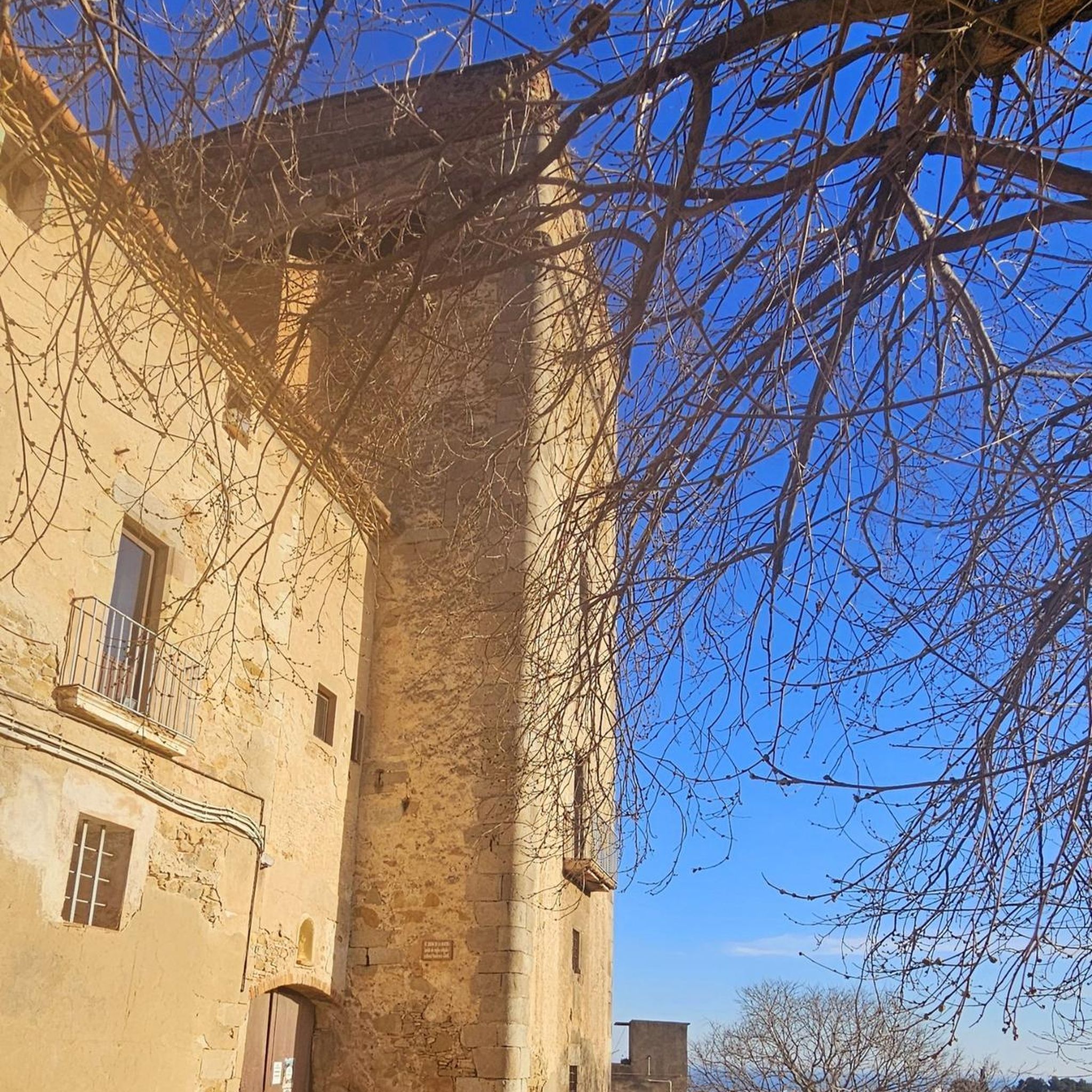
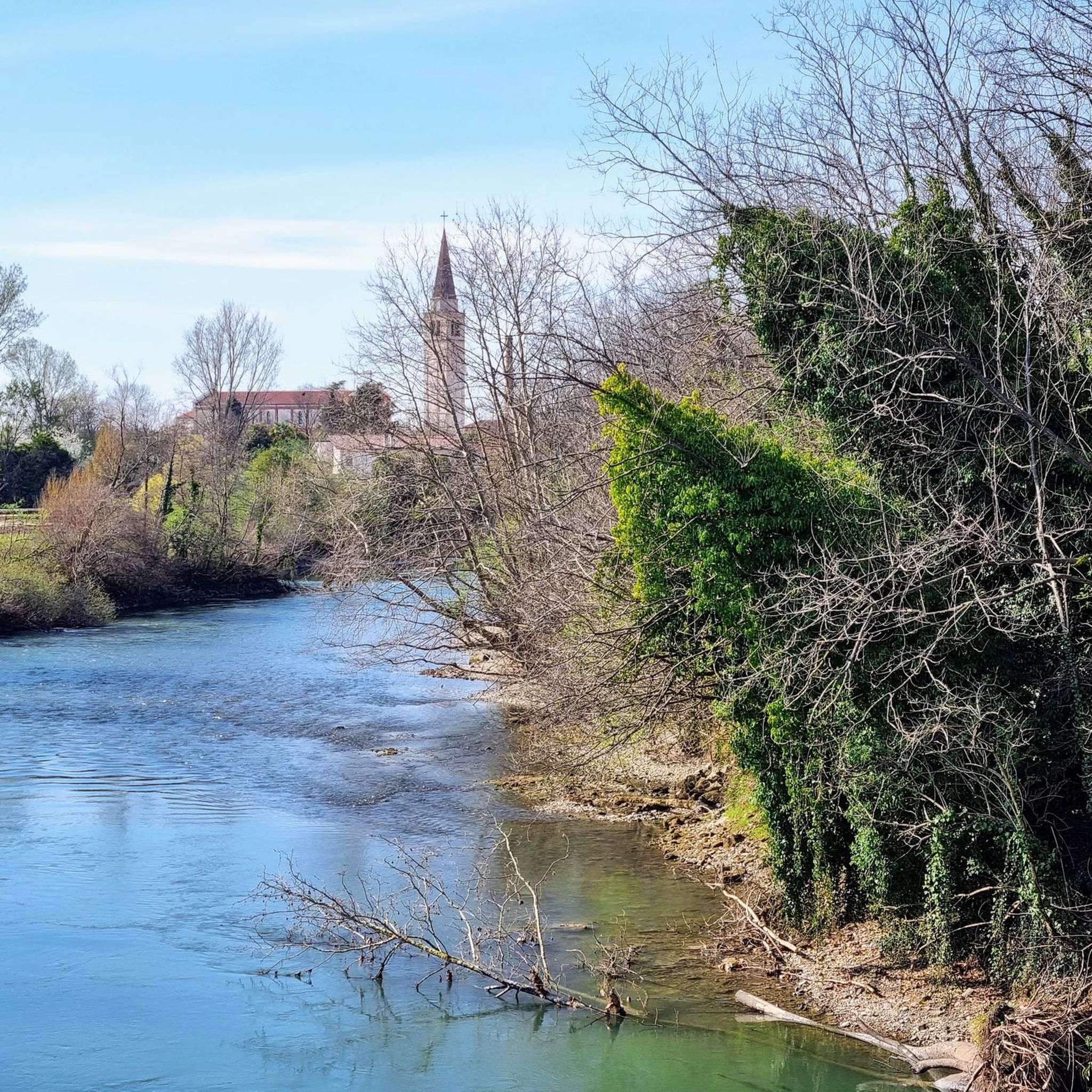
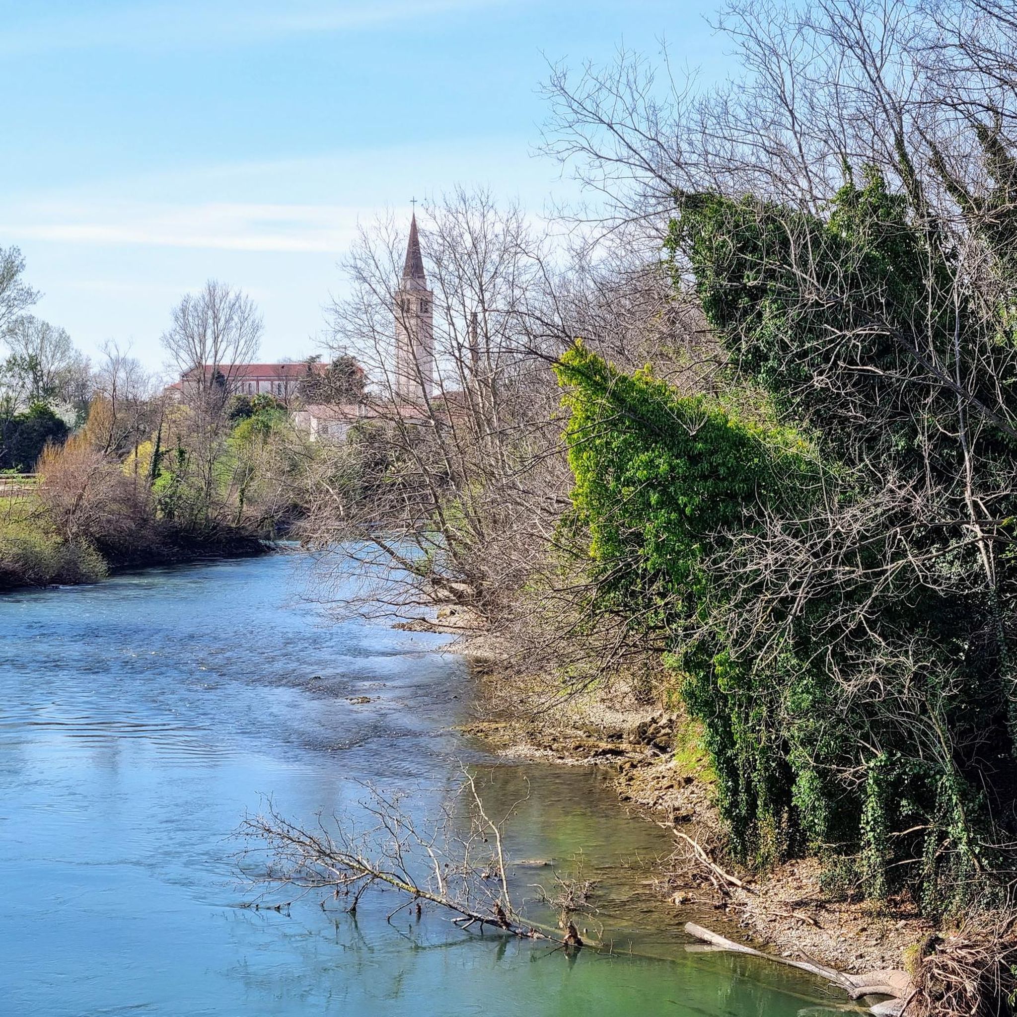
Villa Varda is a Venetian villa located in the municipality of Brugnera (PN). The name Varda (Guarda) has Germanic origins, designating an observation post, aptly suited to this location on the left bank of a wide bend of the Livenza River. The structure dates back to the 15th century, when the noble Mazzoleni family from Bergamo acquired vast tracts of land in the area and built their residence there. In 1670, Fabio Mazzoleni, the last erudite member of the family, annexed a chapel to the villa, nestled in the greenery of the park, in which he planned his own burial place. Due to lack of heirs, the villa was left to Ottavio Negri, Fabio's uncle, but later passed to numerous owners, including the Morpurgos. In the mid-19th century, this family, in addition to restoring the buildings, also gave the park its current appearance, at Charles's behest, in keeping with the then-current trend for English-style parks. From 2016 to 2017, the complex underwent restoration work by the Maccan family. The architectural restoration has provided a splendid and functional space for public use, perfect for cultural initiatives. Villa Varda appears as a stately home immersed in its large park, which extends along the banks of the Livenza River. The property retains architecturally valuable structures: an orangery topped by a stone balustraded terrace, a neo-Gothic chapel, an icehouse (remodeled in 1932, when a crenellated tower was added), and a mausoleum serving as a burial site. The park currently features a diverse array of trees that differ from the original layout, with many centuries-old imported specimens. Among the trees, noteworthy are a libocedron (Libocedrus decurrens) growing in front of the villa, a pagoda tree (Sophora japonica) on the riverbank, some photina (Photinia serrulata), some Virginia junipers (Juniperus virginiana), and Nepalese pines (Pinus wallichiana). https://www.villavarda.it/
1
0
Frequently Asked Questions
What kind of terrain can I expect on running routes around Gaiarine?
The running routes in Gaiarine are primarily characterized by flat terrain and gentle gradients. You'll mostly find yourself on agricultural paths, quiet village roads, and some gentle riverside sections, making for a relaxed running experience suitable for all levels.
How many running trails are available in the Gaiarine area?
There are over 15 dedicated running routes around Gaiarine, offering a good variety for different preferences. The komoot community has explored these trails over 3000 times.
Are there any easy running routes suitable for beginners or a relaxed jog?
Yes, Gaiarine offers several easy jogging routes. For example, the Running loop from Albina is an easy 4.7 km path with minimal elevation gain, perfect for a gentle run.
Can I find longer running routes for more advanced training?
While the region is known for its gentle terrain, you can find moderate routes that offer a good distance. The Running loop from Campomolino is a 8.3 km trail through rural landscapes, providing a consistent and enjoyable run.
Are there any circular running routes in Gaiarine?
Yes, many of the running routes in Gaiarine are circular, allowing you to start and end your run in the same location. Popular options include the Running loop from Gaiarine and the Running loop from Francenigo.
What natural attractions or scenic viewpoints can I see while running in Gaiarine?
While running in Gaiarine, you'll primarily enjoy rural landscapes and agricultural areas. For specific natural sights, consider exploring nearby highlights such as the Confluence of the Lia and Monticano Rivers or the ancient Ancient Chestnut Tree of Castagneron.
Are there any historical sights or landmarks along the running paths?
Yes, the region has some interesting historical points. You might encounter the Col Alt War Memorial or the Christ of the Meschio. For more significant historical structures, consider visiting nearby castles like Caneva Castle or Porcia Castle, which are a short distance from the main running areas.
What do other runners say about the trails in Gaiarine?
The running routes in Gaiarine are highly rated by the komoot community, with an average score of 4.5 stars from over 50 reviews. Runners often praise the quiet countryside, the flat and accessible terrain, and the pleasant atmosphere for a relaxed jog.
Is Gaiarine a good place for family-friendly running or jogging with children?
Absolutely. Given the predominantly flat terrain and gentle gradients, many of Gaiarine's routes are well-suited for family-friendly running or jogging with children. The quiet village roads and agricultural paths provide a safe and enjoyable environment.
Are the running routes in Gaiarine dog-friendly?
Yes, most of the rural and agricultural paths around Gaiarine are dog-friendly. It's always recommended to keep your dog on a leash, especially when passing through villages or near agricultural fields, and to respect local regulations.
What is the best time of year to go running in Gaiarine?
Gaiarine is pleasant for running for much of the year. Spring and autumn offer mild temperatures and beautiful scenery. Summer mornings and evenings are also ideal to avoid the midday heat, while winter can be suitable on clear, dry days, though some paths might be muddy after rain.
Are there any cafes or places to get refreshments near the running trails?
Gaiarine and its surrounding villages have local cafes and small shops where you can find refreshments. While not directly on every trail, you'll often find options in the starting or ending points of routes, such as in Gaiarine, Francenigo, or Campomolino.
Most popular attractions around Gaiarine

Get inspired with the komoot mobile app


Explore more
Browse the best Running Trails & Routes in other regions.
