The best road cycling routes around Stollbergerforst
4.1
(264)
2,587
riders
173
rides
Road cycling routes around Stollbergerforst traverse a landscape characterized by dense woodlands and rolling hills, offering varied terrain for cyclists. The region features a mix of paved roads that wind through forested areas and open countryside. Elevations are generally moderate, with some routes including gradual climbs and descents. This area provides a natural setting for road cycling, connecting villages and scenic points within the Lower Franconia region of Germany.
Best road cycling routes around Stollbergerforst
- The most popular road cycling…
Last updated: October 20, 2026
5.0
(1)
22
riders
Easy road ride. Great for any fitness level. Mostly well-paved surfaces and easy to ride.
2.5
(4)
27
riders
Moderate road ride. Great for any fitness level. Some segments of this route may be unpaved and difficult to ride.

4.0
(1)
16
riders
56.5km
02:32
570m
570m
Moderate road ride. Good fitness required. Mostly well-paved surfaces and easy to ride.
7
riders
Moderate road ride. Good fitness required. Mostly well-paved surfaces and easy to ride.
5.0
(1)
6
riders
Moderate road ride. Good fitness required. Mostly well-paved surfaces and easy to ride.
Get access to more routes and recommendations from other explorers.
Already have an account?
Our route recommendations are based on thousands of hikes, rides, and runs completed by other people on komoot.
Start today with a free account
Your next adventure awaits.


Tips from the Community

You should take a little time for Volkach and, above all, try the wine.
0
0

Very nice to look at and worthwhile. https://de.wikipedia.org/wiki/Sommerach
0
0

Nice little village with many inns
1
0

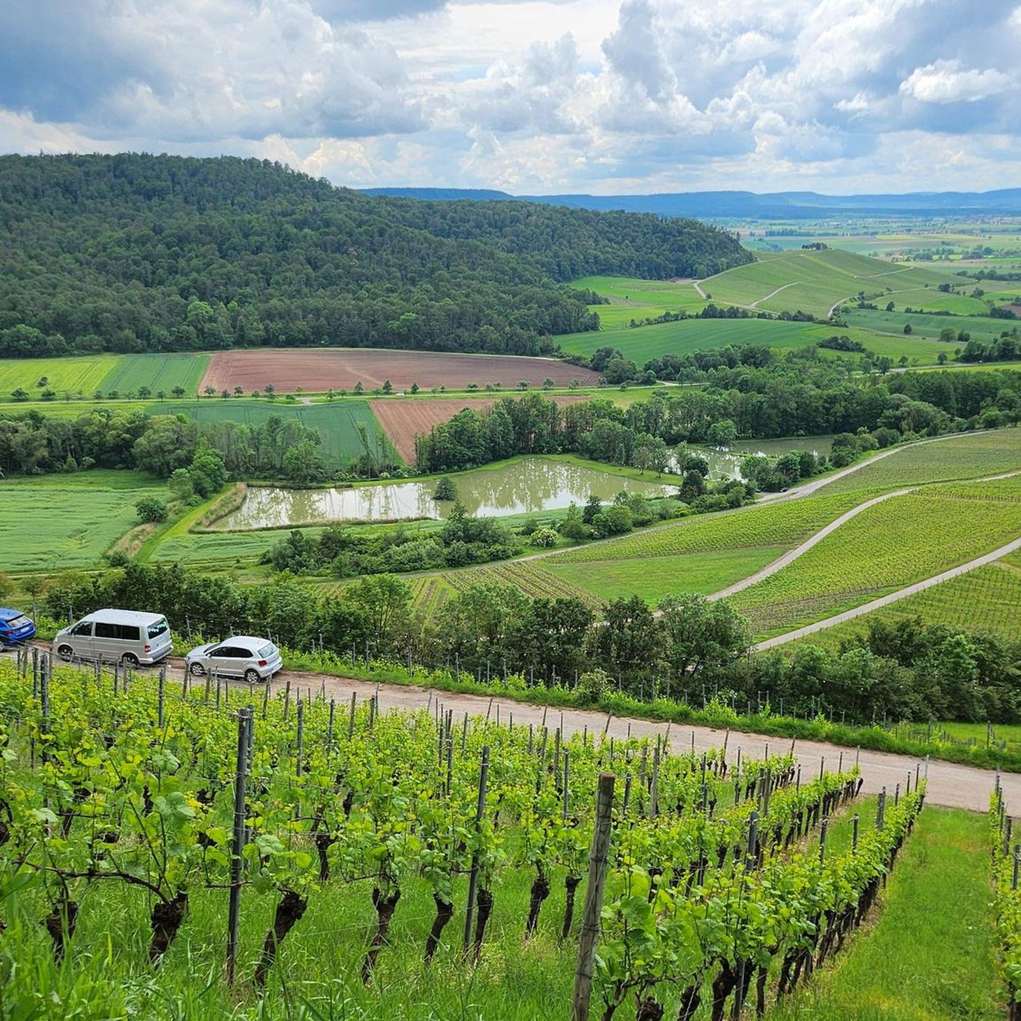
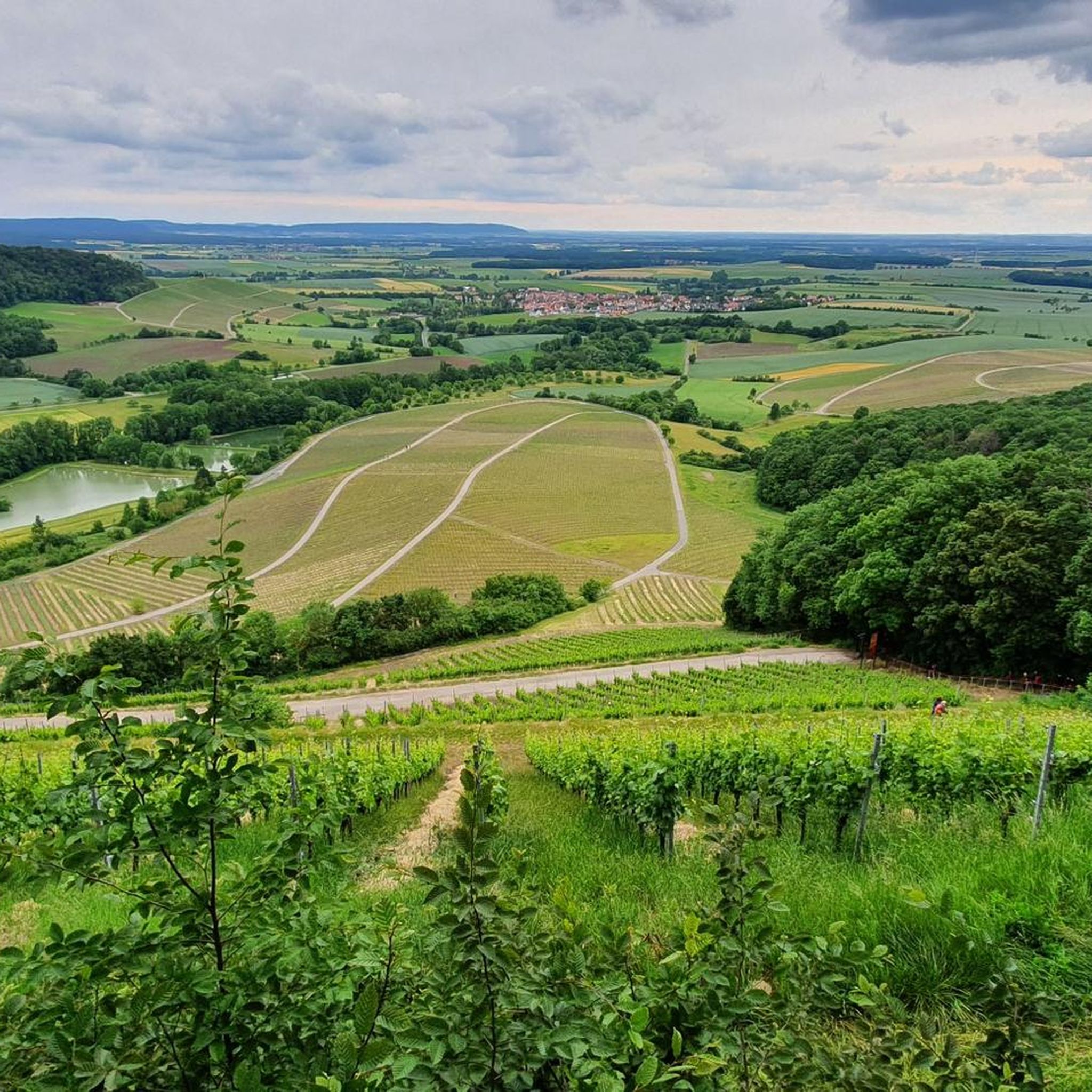
Great view over the vineyards
0
0
You can hike nicely to the Friedrichberg
0
0

Frequently Asked Questions
How many road cycling routes are available in Stollbergerforst?
Stollbergerforst offers a wide selection of road cycling routes, with over 170 tours recorded on komoot. These routes cater to various skill levels, from easy to challenging.
Are there easy road cycling routes suitable for beginners in Stollbergerforst?
Yes, Stollbergerforst has numerous easy road cycling routes. There are over 50 easy routes available, perfect for beginners or those looking for a relaxed ride. An example is the Volkach Market Square and Fountain – Volkach’s Historic Old Town loop from Geiersberg, an easy 40.5 km path that guides cyclists through historic town centers.
Are there challenging road cycling routes for experienced cyclists in Stollbergerforst?
Absolutely. For experienced road cyclists seeking a challenge, Stollbergerforst offers 11 difficult routes. The region's rolling hills provide opportunities for significant climbs and descents, such as the Oberscheinfeld Town Hall – Greuther Steige loop from Dolinen im Mahlholz, a 56.5 km trail with over 560 meters of elevation gain.
What is the best season for road cycling in Stollbergerforst?
The best seasons for road cycling in Stollbergerforst are typically spring, summer, and early autumn. During these months, the weather is generally mild, and the natural scenery of dense woodlands and rolling hills is at its most vibrant. Winter cycling can be challenging due to colder temperatures and potential icy conditions.
Are there any circular road cycling routes in Stollbergerforst?
Many of the road cycling routes in Stollbergerforst are designed as loops, allowing you to start and end at the same point. For instance, the popular View of Bischwinder Chapel – Untersteinbach Village Center loop from Dingolshausen is a 53.4 km circular route offering scenic views.
What kind of scenery can I expect on road cycling routes in Stollbergerforst?
Road cycling in Stollbergerforst offers diverse scenery, characterized by dense woodlands, rolling hills, and picturesque villages. Routes often wind through forested areas, open countryside, and connect historic town centers, providing a mix of natural beauty and cultural sights.
What are some notable landmarks or viewpoints along the road cycling routes?
The region features several interesting landmarks and viewpoints. You might encounter the Zabelstein Observation Tower and Ruins, offering panoramic views, or the Eulenberg Cross and Viewpoint. Many routes also pass through charming villages with historic architecture.
Are there places to stop for refreshments or rest along the routes?
Yes, many road cycling routes in Stollbergerforst pass through or near villages and towns where you can find cafes, restaurants, or local shops for refreshments. Additionally, you might come across huts or shelters like the Bauken Herz Hut at Zabelstein or the Trunk Hut Shelter, offering places to rest.
What do other road cyclists say about the routes in Stollbergerforst?
The road cycling routes in Stollbergerforst are highly regarded by the komoot community, with an average rating of 4.4 stars from over 200 reviews. Cyclists frequently praise the varied terrain, the beautiful natural settings, and the well-maintained roads that connect scenic points and villages.
Is it possible to access road cycling routes in Stollbergerforst using public transport?
While specific public transport connections vary, many villages and towns within or bordering Stollbergerforst are accessible by regional buses or trains. It's advisable to check local public transport schedules to plan your journey to a suitable starting point for your road cycling adventure.
Where can I find parking for road cycling in Stollbergerforst?
Parking is generally available in the villages and towns that serve as common starting points for road cycling routes. Look for designated parking areas in places like Dingolshausen, Geiersberg, or near the historic centers of towns such as Volkach, which are often featured in route descriptions.
Are there any routes that include significant climbs or descents?
Yes, the rolling hills of Stollbergerforst mean that many routes feature significant elevation changes. For example, the Spitzenberg Climb – Kirchschönbach Castle loop from Dolinen im Mahlholz includes notable climbs, offering a good workout and rewarding views.
Most popular attractions around Stollbergerforst

Get inspired with the komoot mobile app


Explore more
Browse the best Road cycling routes in other regions.
