The best walks and hikes around Castelguglielmo
3.8
(27)
136
hikers
27
hikes
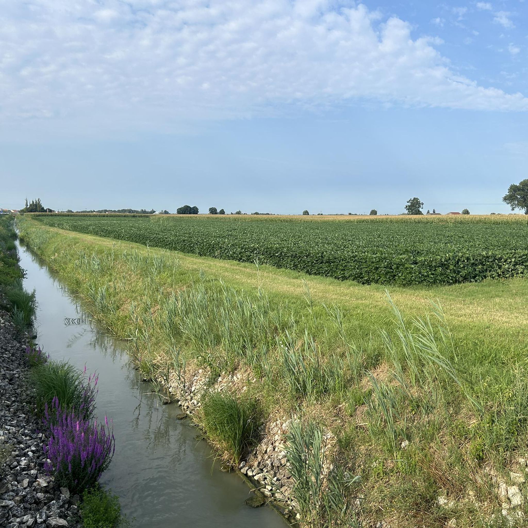
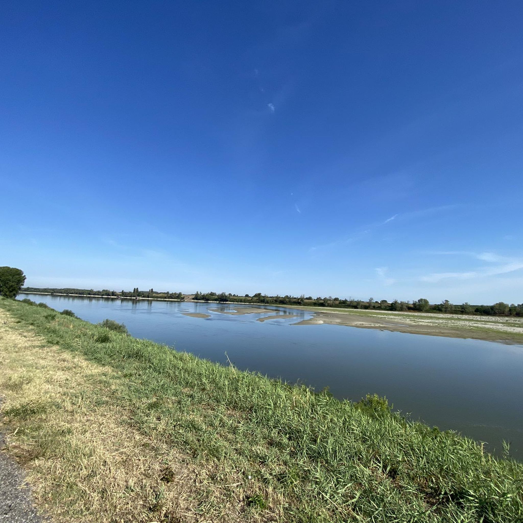
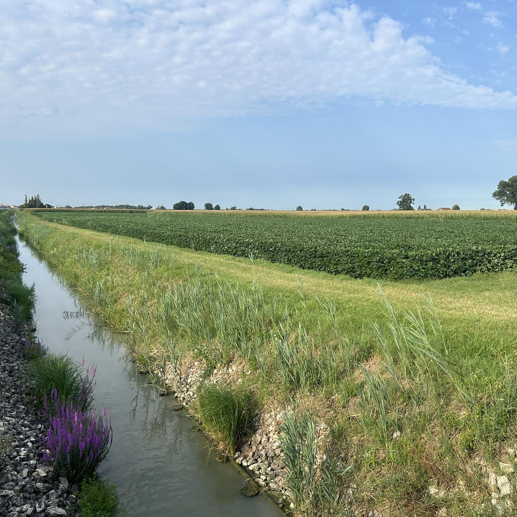
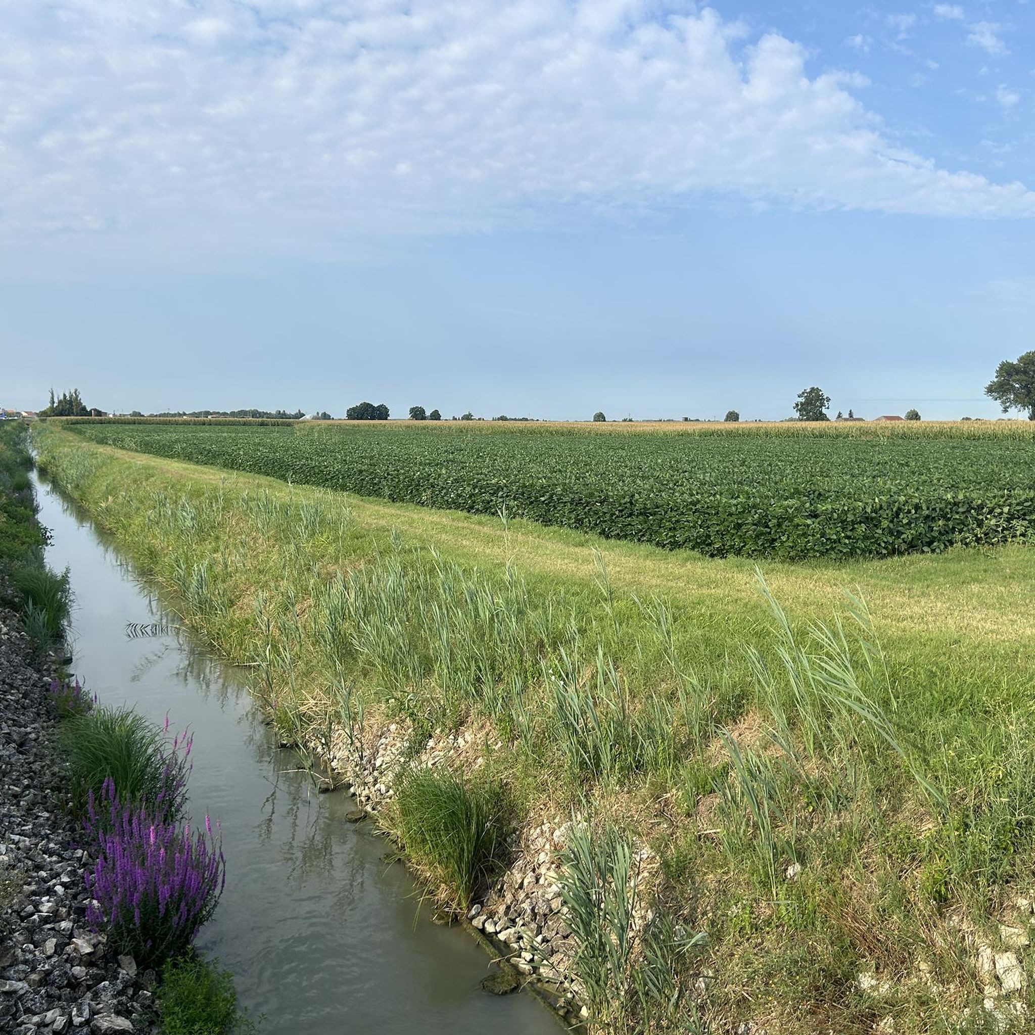
Hiking around Castelguglielmo offers opportunities to explore the flat plains and riverine landscapes of the Veneto region. The area is primarily characterized by its proximity to the Adige River, providing a focal point for many trails. Hikers can experience open, panoramic views of the surrounding agricultural plains, which contrast with more mountainous terrains. The local environment allows for leisurely exploration without significant elevation changes.
Best hiking trails around Castelguglielmo
- The most popular hiking route is Adige River and Vangadizza Abbey…
Last updated: October 18, 2026
5.0
(4)
9
hikers
12.3km
03:06
20m
20m
Moderate hike. Good fitness required. Easily-accessible paths. Suitable for all skill levels.
4.0
(1)
8
hikers
5.25km
01:20
10m
10m
Easy hike. Great for any fitness level. Easily-accessible paths. Suitable for all skill levels.

10
hikers
6.56km
01:39
10m
10m
Easy hike. Great for any fitness level. Easily-accessible paths. Suitable for all skill levels.
5
hikers
7.87km
02:00
20m
20m
Easy hike. Great for any fitness level. Easily-accessible paths. Suitable for all skill levels.
5
hikers
5.61km
01:25
10m
10m
Easy hike. Great for any fitness level. Easily-accessible paths. Suitable for all skill levels.
Get access to more routes and recommendations from other explorers.
Already have an account?
Our route recommendations are based on thousands of hikes, rides, and runs completed by other people on komoot.
Start today with a free account
Your next adventure awaits.
Tips from the Community

An event that marked the history of Polesine
0
0
In the locality of Passo di Villamarzana, a hamlet of Frassinelle Polesine, you can see the shrine of San Lorenzo, with its external memorial exhibition of the Polesine flood of 1951. Next to it is a small and touching cemetery, which houses the bodies of the 84 victims of the flood, involved in the tragedy that took place between Frassinelle and Villamarzana on 15 November 1951, which went down in history as "The truck of death". The rescue vehicle was supposed to transport as many evacuees as possible to Rovigo: but during the night, amidst the thick fog and the rushing waters, the truck sank. Among so many elderly people, women and many children, few people managed to save themselves.
1
0

Beautiful little church to visit!
1
0

The Vangadizza abbey dates back to the 9th-10th century. In 1810 it underwent a partial demolition from which only an apse chapel and the leaning bell tower survived.
1
0
A stone's throw from the Adige and not far from the town of Badia Polesine, it opens up to the plain at 360° and we can admire the beautiful panoramas.
1
0

we have almost reached Badia Polesine. It is worth stopping to visit the Badia, and rest in a bar in the centre.
1
0

The shrine of San Lorenzo is dedicated to the victims of the terrible flood of 1951 which, in addition to destroying the surrounding countryside, cost the lives of many local inhabitants.
4
0

Larger town on the Etsch cycle path between Verona and Rosalina Mare. Ideal for an overnight stay.
3
1
Frequently Asked Questions
What kind of terrain can I expect on hikes around Castelguglielmo?
Hiking around Castelguglielmo primarily features flat plains and riverine landscapes. The trails offer expansive, panoramic views of agricultural areas, particularly along the Adige River. You won't find significant elevation changes here, making for generally leisurely exploration.
Are there many easy hiking options suitable for beginners?
Yes, Castelguglielmo offers several easy hiking options. For instance, the Vangadizza Abbey loop from Badia Polesine is an easy 3.3-mile (5.3 km) path, perfect for a relaxed walk. Another accessible choice is the Fiume Canalbianco loop from Villamarzana, which is 4.1 miles (6.6 km) and leads through open plains.
Can I find circular hiking routes in the area?
Absolutely. Many routes around Castelguglielmo are designed as loops. A notable circular trail is the Adige River and Vangadizza Abbey Loop, which covers 7.6 miles (12.3 km) and explores the riverbanks and natural environment. Another option is the Vangadizza Abbey – View of Badia Polesine loop from Badia Polesine, a moderate 5.9-mile (9.5 km) route.
What natural features or landmarks can I see while hiking near Castelguglielmo?
The primary natural feature is the Adige River, which many trails follow. You'll also experience expansive panoramic views of the surrounding plains. For specific landmarks, consider visiting the historic Villa Badoer (Andrea Palladio) or the Torre Morosini. Nature enthusiasts might enjoy the Bosco di Porporana Nature Reserve or the tranquil Gorgo della Sposa.
Are the hiking trails around Castelguglielmo suitable for families with children?
Yes, the generally flat and gentle terrain makes many trails suitable for families. The easy difficulty of routes like the View of Badia Polesine – Vangadizza Abbey loop from Badia Polesine, which is 3.5 miles (5.6 km), provides a pleasant experience for all ages without strenuous climbs.
Can I bring my dog on the hiking trails?
The trails around Castelguglielmo are generally dog-friendly, offering open spaces and riverbanks for walks. It's always recommended to keep your dog on a leash, especially near agricultural areas or other hikers, and to carry waste bags. Always check local signage for any specific restrictions.
What is the best time of year to go hiking in Castelguglielmo?
The best time to hike in Castelguglielmo is typically during the spring and autumn months. The weather is milder and more comfortable for walking, and the natural scenery is vibrant. Summer can be quite warm in the Veneto region, while winter offers a different, often quieter, experience, though some paths might be muddy after rain.
How many hiking trails are available in the Castelguglielmo area?
There are currently 8 hiking routes documented around Castelguglielmo on komoot, offering a variety of experiences from easy strolls to moderate explorations along the river and plains.
What do other hikers say about the trails in Castelguglielmo?
The hiking routes in Castelguglielmo are highly rated by the komoot community, with an average score of 5.0 stars from 3 reviews. Hikers often praise the tranquil atmosphere, the scenic views of the Adige River, and the expansive plains that offer a peaceful immersion in nature.
Are there any historical sites or cultural points of interest near the hiking routes?
Yes, beyond the natural beauty, you can explore historical sites. The Mulino al Pizzon Ecomuseum offers insight into local heritage, and the San Lorenzo Memorial to the Victims of the 1951 Polesine Flood provides a poignant historical perspective. These can be visited in conjunction with your hikes.
What is the typical duration for a hike in Castelguglielmo?
Hikes in Castelguglielmo vary in length, but many can be completed within a few hours. For example, an easy route like the Fiume Canalbianco loop from Villamarzana takes about 1 hour 40 minutes, while a moderate trail such as the Adige River and Vangadizza Abbey Loop typically takes around 3 hours.
Most popular routes around Castelguglielmo
Most popular attractions around Castelguglielmo

Get inspired with the komoot mobile app


Explore more
Browse the best Hikes in other regions.
