The best road cycling routes around Pozzoleone
4.4
(806)
27,356
riders
163
rides
Road cycling routes around Pozzoleone are situated on the Venetian plain, offering a landscape of flat to gently rolling roads. The Brenta River forms a natural boundary, providing opportunities for scenic waterside routes. While the immediate area is largely flat, the region's proximity to the Alps and Dolomites to the north allows for access to more challenging, mountainous terrain for extended rides. This geographical setting provides a diverse environment for road cyclists.
Best road cycling routes around Pozzoleone
- The most…
Last updated: October 20, 2026
4.0
(35)
454
riders
44.9km
01:53
320m
320m
Moderate road ride. Good fitness required. Mostly well-paved surfaces and easy to ride.
4.7
(3)
148
riders
54.9km
02:22
400m
400m
Moderate road ride. Good fitness required. Some segments of this route may be unpaved and difficult to ride.

4.8
(4)
148
riders
51.3km
02:35
740m
740m
Moderate road ride. Good fitness required. Mostly well-paved surfaces and easy to ride.
5.0
(2)
97
riders
28.4km
01:23
410m
410m
Moderate road ride. Good fitness required. Mostly well-paved surfaces and easy to ride.
92
riders
48.8km
02:40
910m
910m
Hard road ride. Very good fitness required. Mostly well-paved surfaces and easy to ride.
Get access to more routes and recommendations from other explorers.
Already have an account?
Our route recommendations are based on thousands of hikes, rides, and runs completed by other people on komoot.
Start today with a free account
Your next adventure awaits.

Tips from the Community

Marostica is a splendid medieval walled city located in Veneto, in the province of Vicenza, famous all over the world for its extraordinary living chess game and for the production of the IGP cherry. Nestled between the hills and the plain, it offers a perfect combination of history, architecture and local traditions
0
0

The bridge over the Brenta, called Ponte Vecchio di Bassano (also known as Ponte degli Alpini), located in the city of Bassano del Grappa, is a covered wooden bridge, built to a design by Andrea Palladio. It has undergone numerous interventions and reconstructions since its inception, documented in 1209 by Gerardo Maurisio. Since 1928, the bridge has also been dedicated to the memory of the hundreds of thousands of soldiers (particularly the Alpini units) who during the First World War, via the bridge, ascended the Sette Comuni plateau, the scene of bloody fighting for over 41 months. In 2019 it was declared a national monument.
0
0


Monumental church inaugurated in 1934. It is a military shrine that collects the remains of soldiers who died in the First World War.
0
0

The Rialto Bridge of Valstagna is an important infrastructural work located in the municipality of Valbrenta, in the province of Vicenza. Crossing the Brenta river, this bridge historically connects the inhabited area of Valstagna, on the right bank, to the hamlet of Carpanè and the SS 47 of Valsugana, on the left bank, representing a vital hub for local traffic and for cycle tourists on the Brenta Cycle Path. Recently, the structure has undergone a radical restoration and safety intervention, which concluded with its reopening in the summer of 2025. The works, worth over one million euros, have made it possible to repair the damaged parts, widen the roadway, and create a protected pedestrian walkway. A spectacular LED lighting system has also been installed, which colors the bridge during historical events such as the Palio delle Zattere.
0
0
La Ciclovia del Brenta is a picturesque cycle touring route that winds for about 140 kilometers, connecting Caldonazzo in Trentino with Chioggia, overlooking the Venice lagoon. The route follows the course of the Brenta river, offering an extraordinary variety of landscapes. The first section, known as the Ciclopista della Valsugana, gently descends through the mountains along the lake, then enters a valley rich in woods, rocky walls, and historic villages like Bassano del Grappa. Continuing towards the Venetian plain, the itinerary passes through important art cities like Padua and transforms into the famous Riviera del Brenta, renowned for its monumental Palladian and patrician villas. The route finally concludes at the gates of the Adriatic Sea. Mostly flat and largely paved or on compact dirt, the cycle path is suitable for cyclists of all levels.
0
0
Located in the heart of Marostica, Piazza degli Scacchi represents one of the most evocative views in the Veneto region. Also known as Piazza Castello, it owes its fame to the monumental white and pink marble chessboard embedded in the pavement, framed by the imposing city walls and the Lower Castle. This space becomes the protagonist every two years, in September, of the famous Human Chess Game, a historical reenactment in costume that transforms the square into an open-air theatre. Legend tells of a chivalrous challenge in 1454 held for the hand of the noble Lionora, replacing a bloody duel with a contest of wits. Beyond folklore, the square is the beating heart of city life, dominated by the scenic view of the walls that climb up to the Upper Castle.
1
0

cycle path for cycling serenely, well-maintained and very smooth
0
0
Frequently Asked Questions
How many road cycling routes are available around Pozzoleone?
There are over 160 road cycling routes around Pozzoleone, offering a wide variety of options for different skill levels and preferences. You can find routes ranging from easy to difficult, ensuring there's something for every cyclist.
What kind of terrain and difficulty can I expect on road cycling routes near Pozzoleone?
Pozzoleone is situated on the Venetian plain, so many routes feature flat to gently rolling roads, ideal for leisurely rides or training. However, its proximity to the Alps and Dolomites to the north means that more challenging routes with significant climbs are also accessible for those seeking demanding ascents. Overall, you'll find a mix of 36 easy, 112 moderate, and 20 difficult routes.
Are there easy or beginner-friendly road cycling routes around Pozzoleone?
Yes, Pozzoleone offers a good selection of easy routes, with 36 designated as such. These routes typically feature flat terrain along the Venetian plain and often follow scenic paths, such as those along the Brenta River, making them perfect for beginners or those looking for a relaxed ride.
Are there challenging road cycling routes with significant climbs near Pozzoleone?
Absolutely. While the immediate area is largely flat, Pozzoleone's location near the Alps and Dolomites allows access to more challenging, mountainous terrain. For instance, the Marostica Castle – Scenic Hills Near Laverda loop from Pio X is a difficult route with over 900 meters of elevation gain, offering a substantial challenge for experienced cyclists.
What natural features or landmarks can I see while road cycling around Pozzoleone?
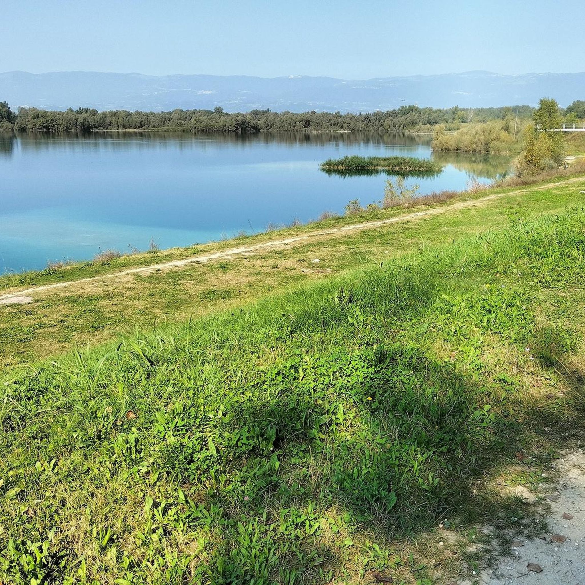
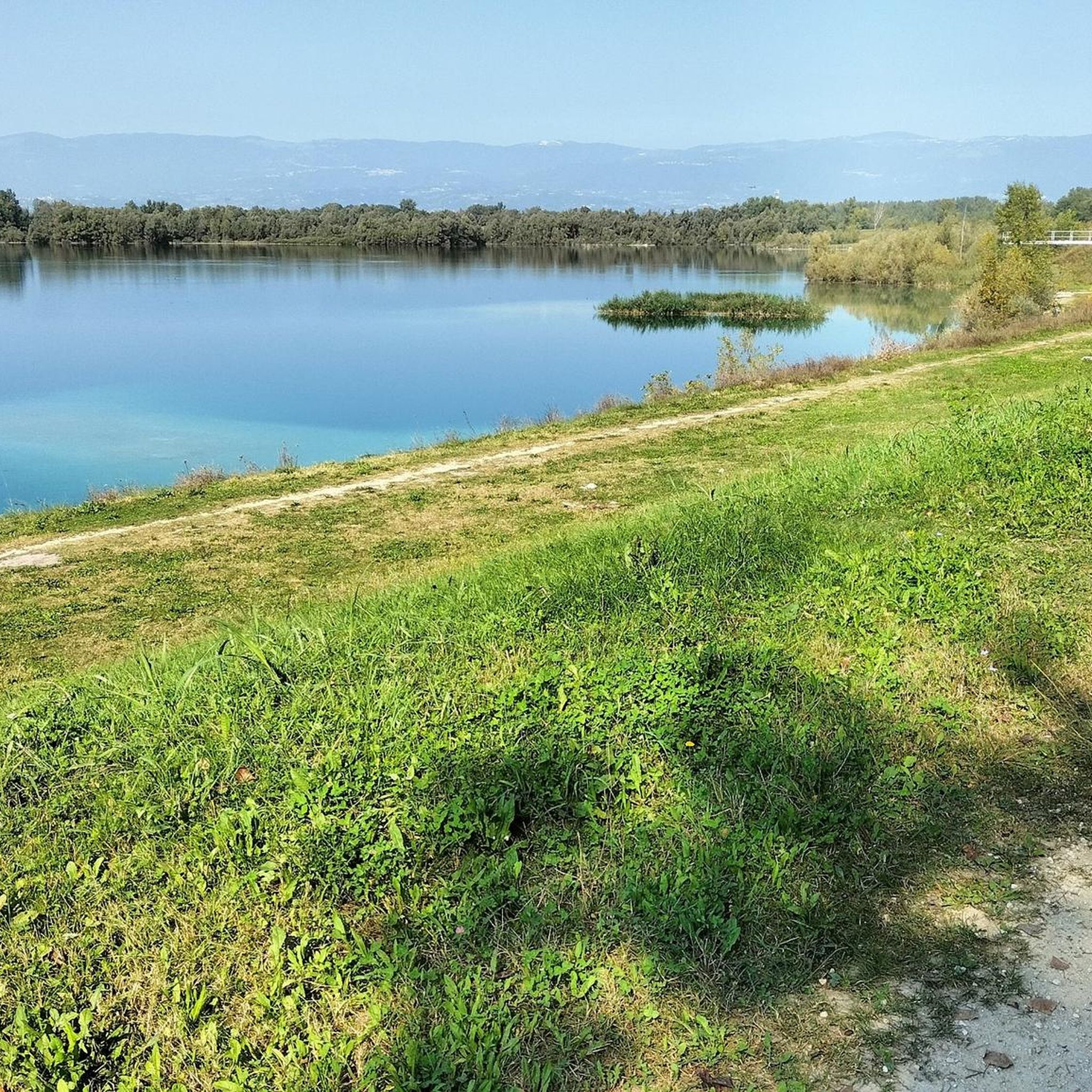
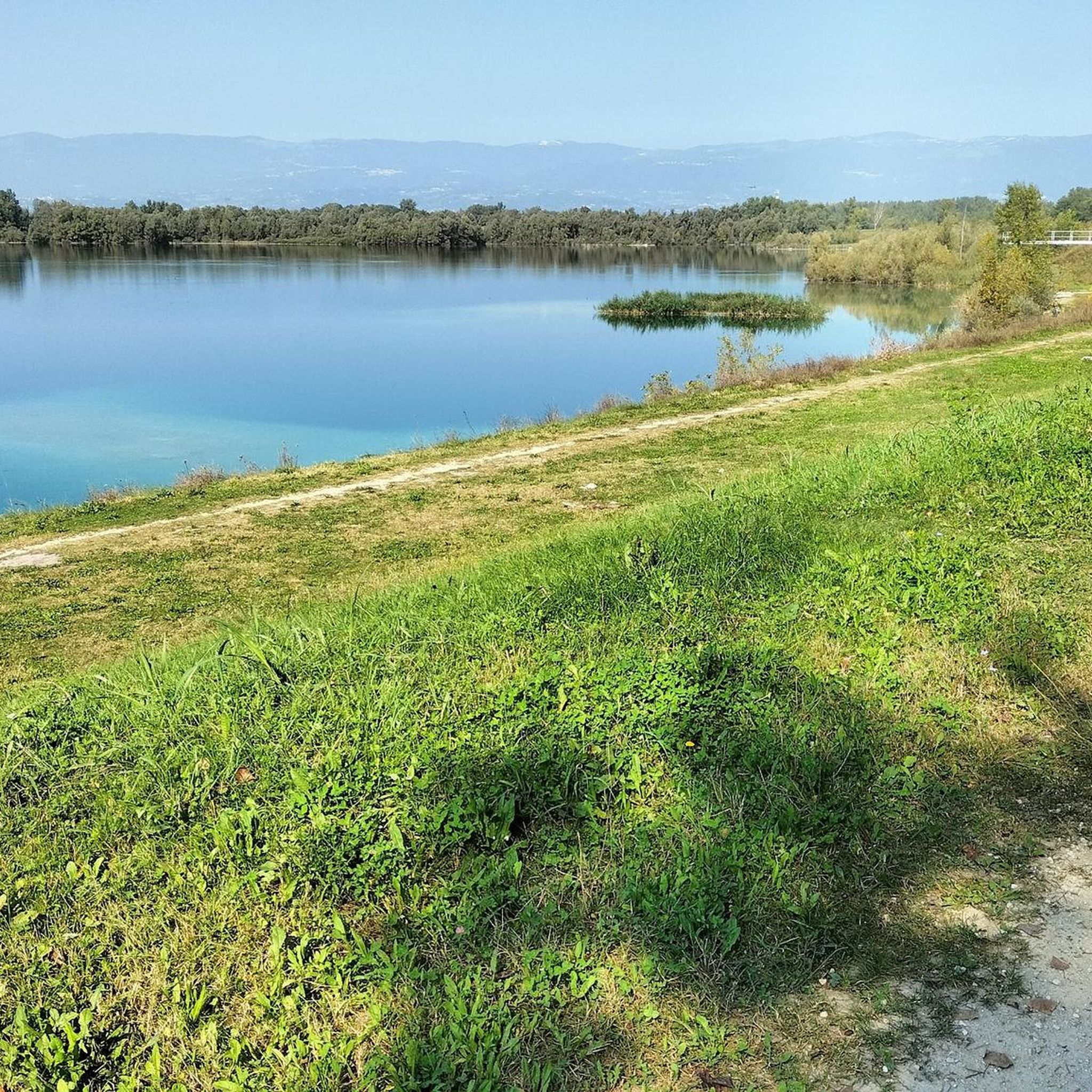
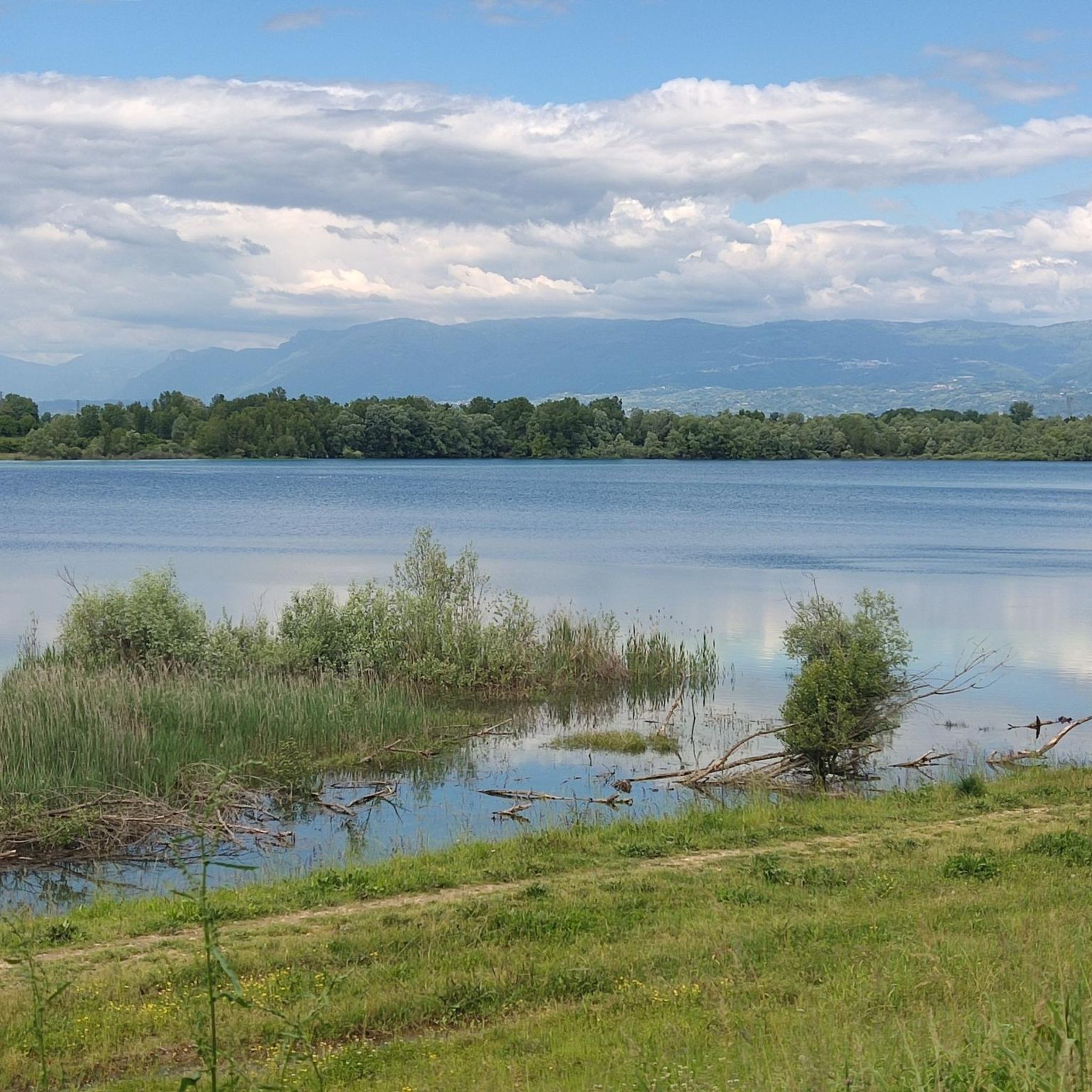
Many routes offer scenic views of the Brenta River, which forms a natural boundary of Pozzoleone. You can also discover various lakes, such as Lake Camazzole, and even the Silan Waterfalls. The region's agricultural landscapes and distant views of the Alps and Dolomites also provide beautiful backdrops for your rides.
Are there any historical or cultural attractions accessible by road bike near Pozzoleone?
Yes, several routes pass by or lead to interesting historical and cultural sites. For example, the Marostica Castle loop from Belvedere takes you past the historic Marostica Castle. You can also find routes that include views of the Ponte Vecchio (Ponte degli Alpini) in Bassano del Grappa, a famous landmark.
What do other road cyclists say about the routes around Pozzoleone?
The road cycling routes around Pozzoleone are highly rated by the komoot community, with an average score of 4.4 stars from over 500 reviews. Cyclists often praise the varied terrain, from flat river paths to challenging climbs, and the beautiful scenery. Over 25,000 road cyclists have used komoot to explore this region.
Are there any routes that follow the Brenta River?
Yes, the Brenta River is a prominent natural feature, and several routes incorporate its scenic banks. The View of Valstagna – Valstagna and the River Brenta loop from Cartigliano is a popular option that features a loop along the river, offering picturesque waterside cycling.
Can I find routes that visit nearby towns or villages?
Many routes connect Pozzoleone with charming nearby towns and villages. For instance, the View of Ponte Crespano – Sanctuary of the Madonna dell'Acqua loop from Nove includes views of Ponte Crespano and the Sanctuary of the Madonna dell'Acqua, allowing you to explore local culture and architecture.
What is the best season for road cycling in Pozzoleone?
The Veneto region generally offers pleasant cycling conditions from spring through autumn. Spring brings mild temperatures and blooming landscapes, while autumn provides cooler weather and beautiful fall colors. Summer can be warm, especially on the plains, but is still suitable for early morning or late afternoon rides. Winters are typically cooler and can be damp, making them less ideal for road cycling.
Are there any long-distance road cycling routes available?
While many routes are designed as loops, several cover significant distances. For example, the View of Ponte Crespano – Sanctuary of the Madonna dell'Acqua loop from Nove is over 55 km long, providing a substantial ride. You can also combine shorter routes to create longer, custom tours through the region.
Are there road cycling routes that offer viewpoints?
Yes, especially on routes that venture into the gently rolling hills or towards the foothills of the Alps. These routes often provide elevated positions with panoramic views of the Venetian plain, the Brenta River valley, and the distant mountains. Look for routes with higher elevation gain for the best viewpoints.
Most popular routes around Pozzoleone
Most popular attractions around Pozzoleone

Get inspired with the komoot mobile app


Explore more
Browse the best Road cycling routes in other regions.
