The best road cycling routes around St. Märgen
4.5
(2069)
26,237
riders
11
rides
Road cycling routes around St. Märgen are situated in Germany's Black Forest Highlands, an area characterized by rolling hills, dense forests, and wide valleys. The town itself is at an altitude of approximately 850 meters, providing a starting point for routes that feature varied terrain, including challenging passes and rapid descents. The region offers a well-developed network of paved roads suitable for road cycling.
Best road cycling routes around St. Märgen
- The most popular road cycling route is View of…
Last updated: October 12, 2026
4.8
(6)
106
riders
72.8km
04:00
1,450m
1,450m
Hard road ride. Very good fitness required. Some segments of this route may be unpaved and difficult to ride.
4.5
(33)
210
riders
30.7km
01:44
570m
570m
Moderate road ride. Good fitness required. Some segments of this route may be unpaved and difficult to ride.

4.5
(8)
135
riders
46.3km
02:08
540m
540m
Moderate road ride. Good fitness required. Mostly well-paved surfaces and easy to ride.
5.0
(2)
50
riders
64.9km
03:07
890m
890m
Moderate road ride. Good fitness required. Mostly well-paved surfaces and easy to ride.
23
riders
34.2km
01:36
430m
430m
Moderate road ride. Good fitness required. Mostly well-paved surfaces and easy to ride.
Get access to more routes and recommendations from other explorers.
Already have an account?
Our route recommendations are based on thousands of hikes, rides, and runs completed by other people on komoot.
Start today with a free account
Your next adventure awaits.
Popular around St. Märgen
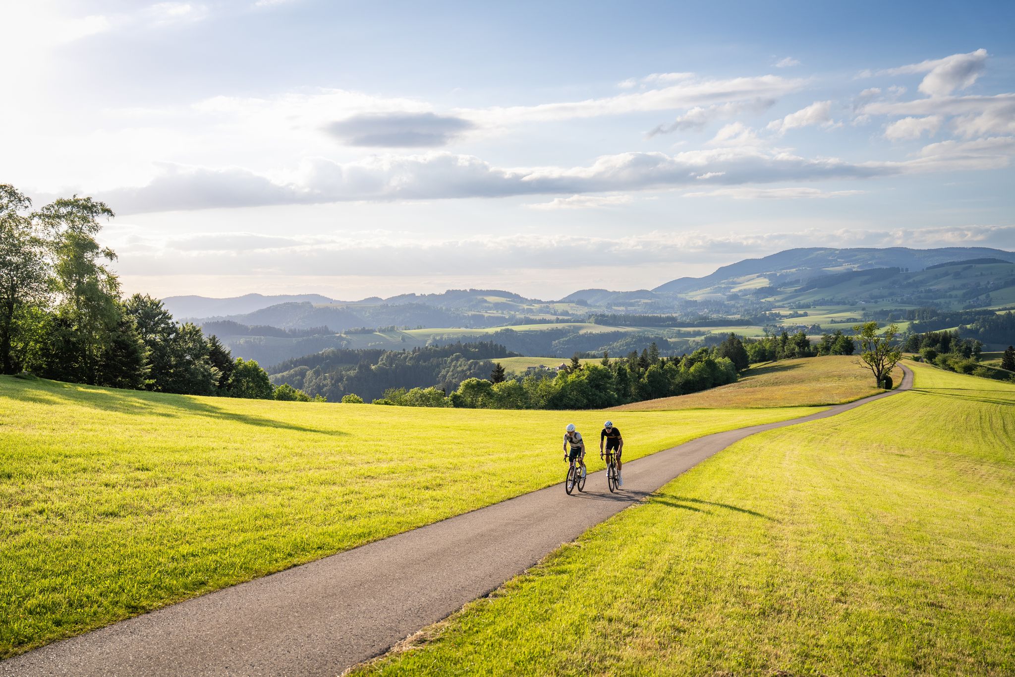
Asphalt poetry – road cycling in the High Black Forest
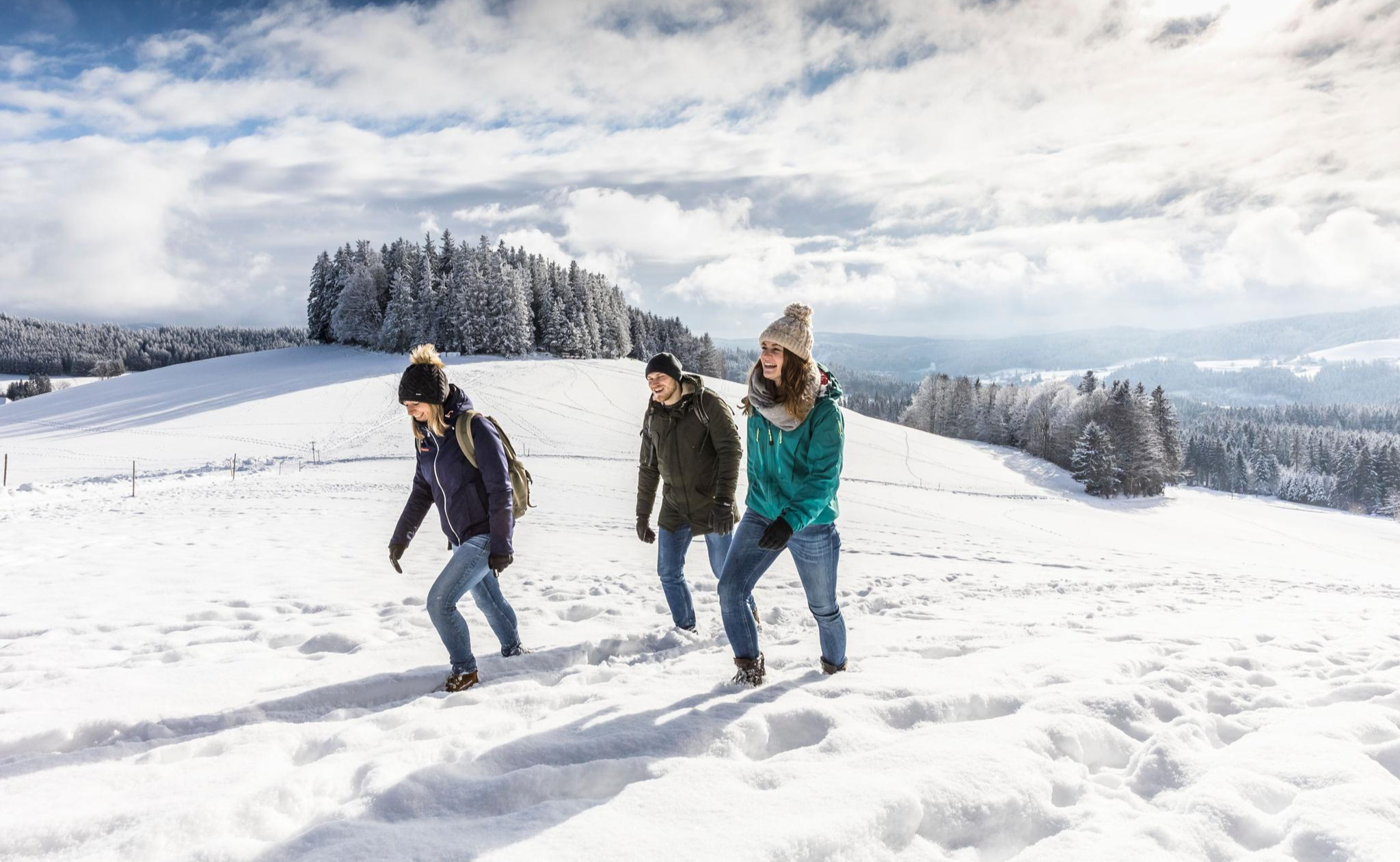
Black Forest Highlands – Winter Hiking with Snow, Silence and Vast Views
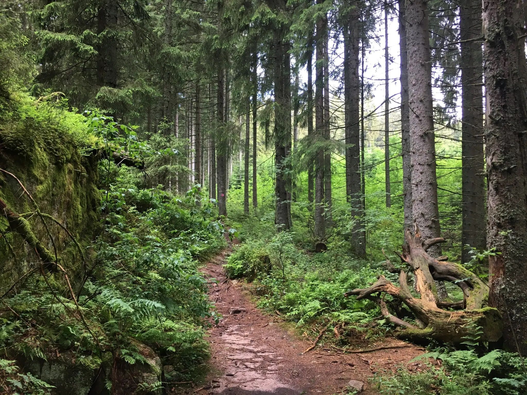
Hiking with a view – day trips in the Hochschwarzwald
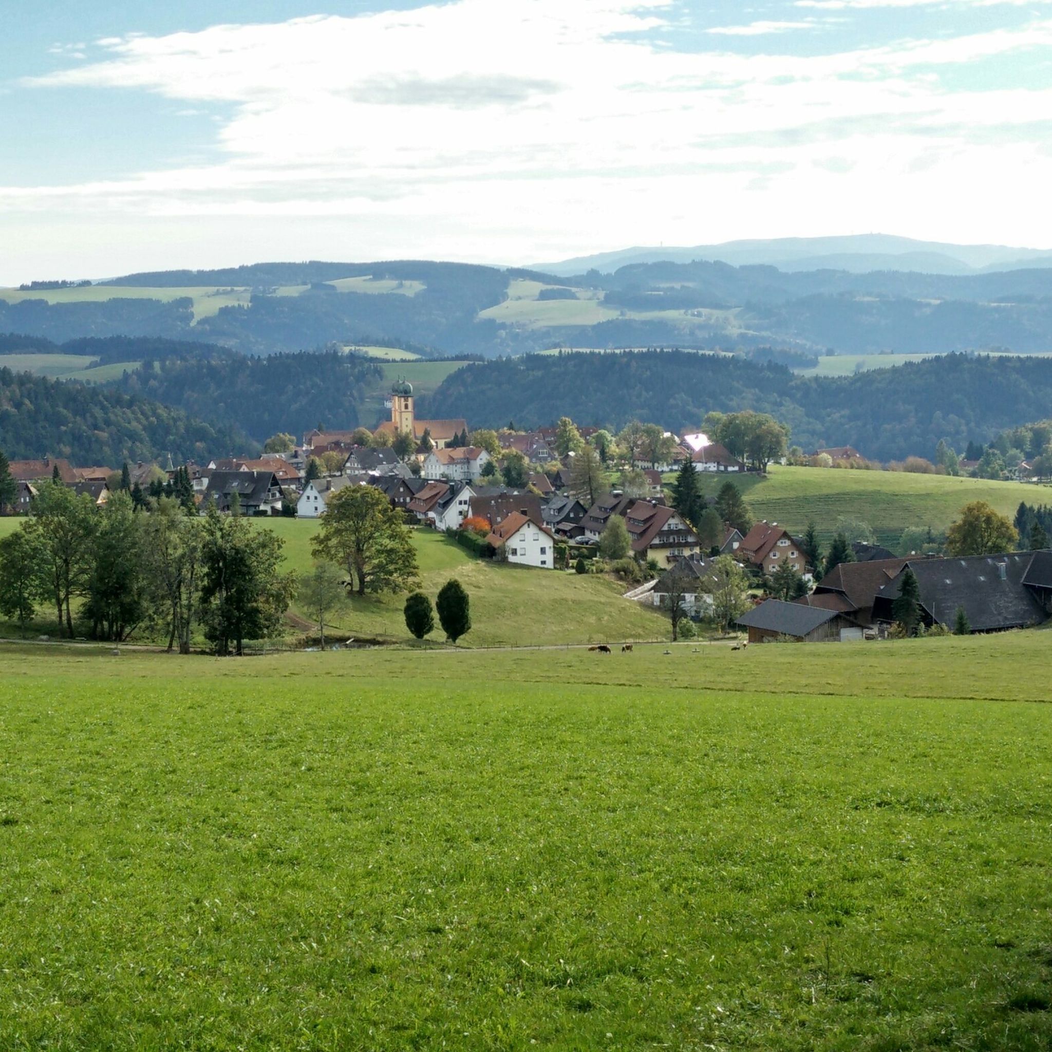
Hiking around St. Märgen
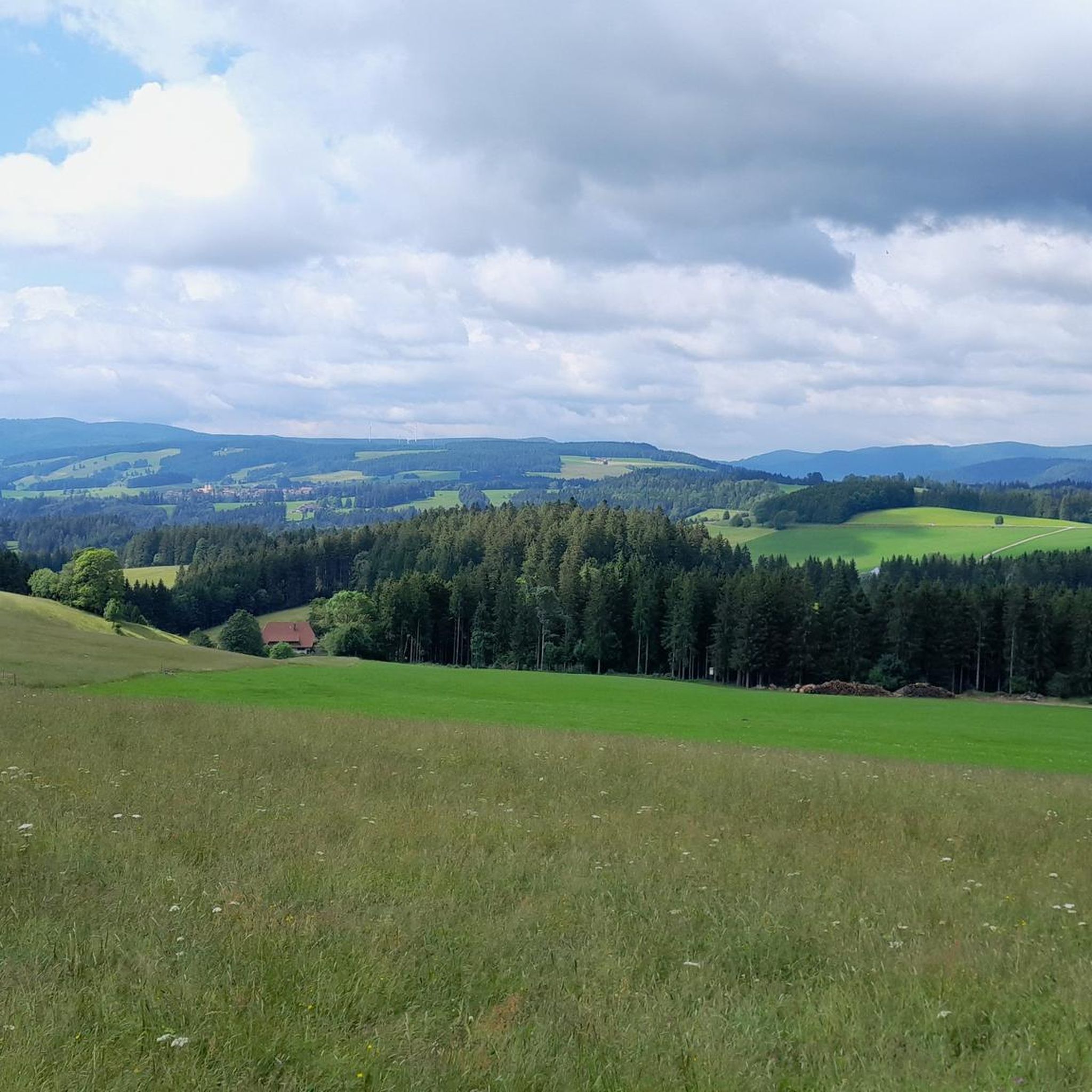
MTB Trails around St. Märgen
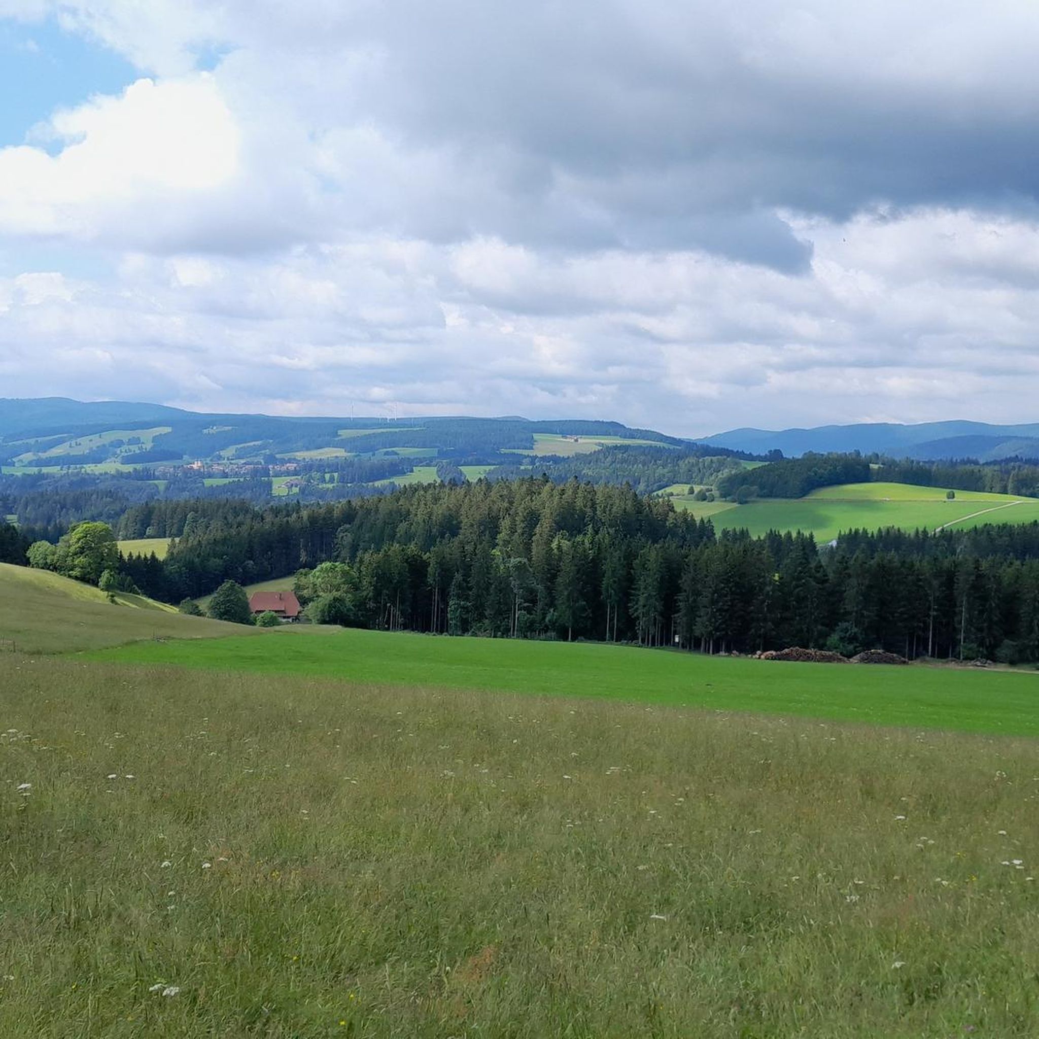
Cycling around St. Märgen
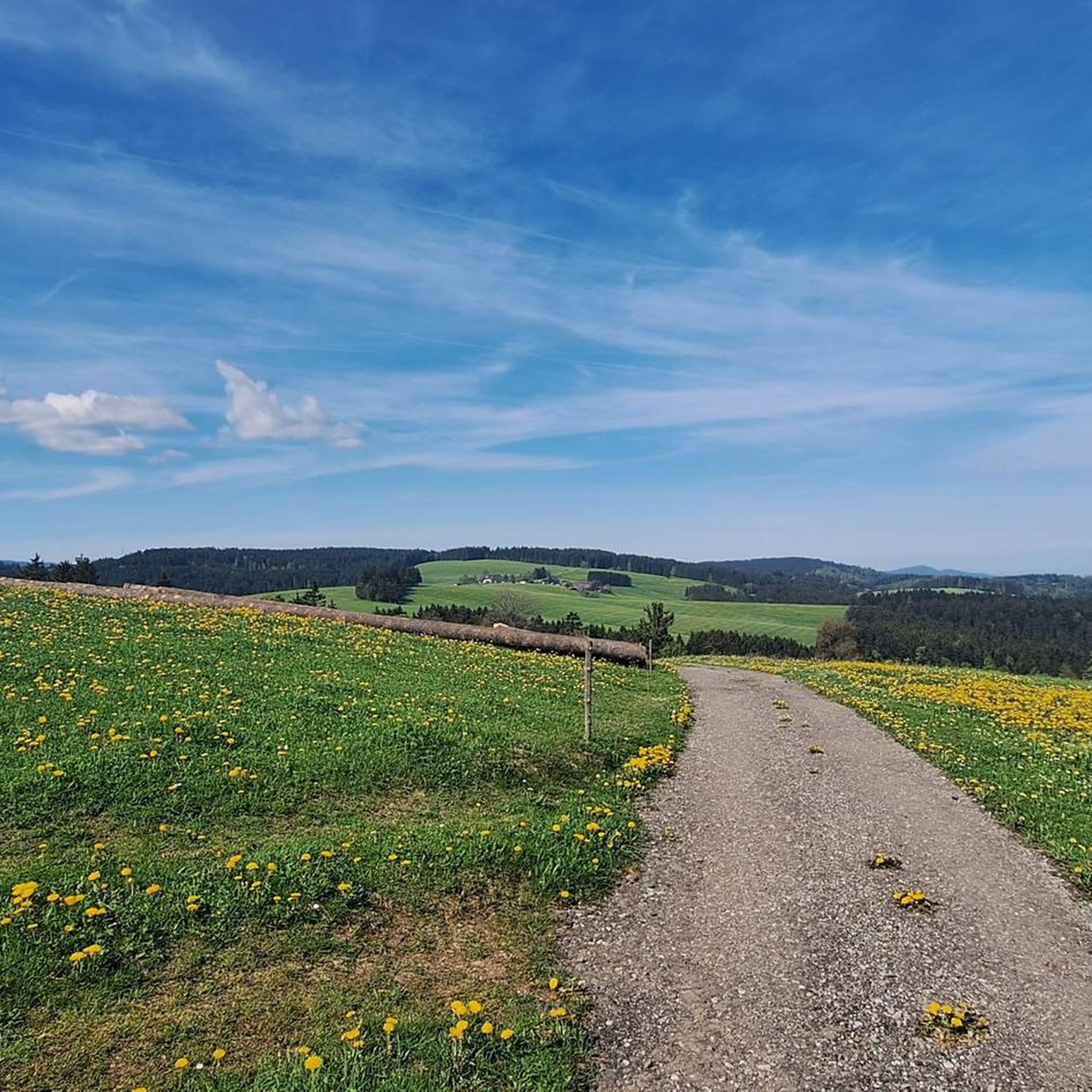
Running Trails around St. Märgen
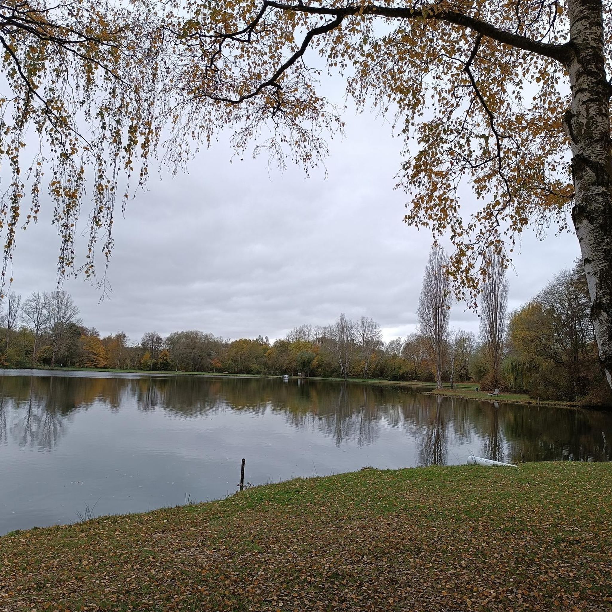
Gravel biking around St. Märgen
Mountain Hikes around St. Märgen
Other adventures around St. Märgen


Tips from the Community

The area is ideal for hiking and cycling
3
0

Beautiful section over the Bruderhalde with typical Black Forest scenery. Pleasant to ride with an MTB and always with beautiful views of forests, meadows, and the surrounding heights.
0
0

There are three ways to get up; depending on the route to Spirzen or St.Märgen. Above the Sprizenstraße (K4907), named after the highlight, but which according to the photos is the Steigweg, you end up at the top of Spirzen near the Schweighöfen. Both, the Spirzenstraße as well as the Steigweg, thus lead to Spirzen, with the significantly steeper Steigweg compared to the Spirzenstraße. The third possibility to get up is the Wagensteigstraße, located on the L128, a flatter route through the Wagensteigtal up to the village of St. Märgen, which is about 900 m high. In the past, the Steigweg belonged to the independent municipality of Steig – today it belongs to Wagensteig.
0
0

The church tower is an eye-catcher, slowly emerging at the top of the mountain.
1
0

A very challenging section for a road bike. A steep climb out of Hinterzarten, followed by a gravel descent, where you shouldn't go too fast on a road bike. All this takes place in a beautiful landscape. Here, the challenge is combined with the scenic beauty.
0
0

A beautiful piece of earth
0
0

Super beautiful summit road with a distant view of the Feldberg and 360 degrees all around.
0
0
Frequently Asked Questions
How many road cycling routes are available around St. Märgen?
St. Märgen offers a diverse network of over 10 road cycling routes, catering to various skill levels. This includes 2 easy routes, 7 moderate routes, and 1 difficult route, ensuring there's something for every cyclist.
What is the best time of year for road cycling in St. Märgen?
Spring and autumn are generally considered the best seasons for road cycling in St. Märgen. During these times, you can enjoy pleasant temperatures and vibrant natural scenery, with blossoming meadows in spring and golden leaves in autumn.
What kind of terrain can I expect on road cycling routes around St. Märgen?
The region around St. Märgen is characterized by varied terrain, including rolling hills, dense forests, and wide plateaus. Cyclists can experience everything from challenging passes like the Feldberg, offering significant elevation gains, to rapid descents and quiet valleys, all set against the picturesque backdrop of the Black Forest Highlands.
Are there road cycling routes suitable for beginners in St. Märgen?
Yes, St. Märgen offers routes suitable for beginners. While many routes feature rolling hills, there are easier options available. For instance, the region's well-developed network includes paths that allow for a more relaxed pace, letting you enjoy the scenery without overly strenuous climbs.
Are there challenging road cycling routes for experienced cyclists?
Absolutely. Experienced cyclists will find plenty of challenges around St. Märgen. The area is known for its demanding passes, such as the Feldberg Pass, which presents a significant physical test with over 1,000 meters of elevation gain. Routes like the View of St. Märgen – Alpine Panorama Döggingen loop from St. Märgen offer substantial elevation and distance for those seeking a rigorous ride.
What scenic viewpoints or natural features can I discover along the routes?
Road cycling routes around St. Märgen often lead through the scenic Black Forest Highlands, offering breathtaking views of surrounding valleys and mountains. You can also find natural features like the Kandel Summit and Lookout Pavilion, Windeckkopf, and the Hochfirst Tower and Hochfirst Mountain Inn, providing panoramic vistas. The region is also close to clear mountain lakes like Feldsee or Schluchsee, and the dramatic Wutach Gorge.
Are there any cultural landmarks or historical sites to see while road cycling?
Yes, St. Märgen and its surroundings offer cultural sights. You might pass by the impressive 12th-century collegiate church in St. Märgen or the monastery of St. Peter, one of Germany's oldest still-inhabited Benedictine monasteries. Routes like Via the Bruderhalde – View of St. Märgen Monastery loop from St. Märgen specifically pass by the St. Märgen Monastery.
What do other road cyclists enjoy most about road cycling in St. Märgen?
The road cycling routes in St. Märgen are highly rated by the komoot community, with an average score of 4.6 stars from over 1600 reviews. Cyclists frequently praise the varied terrain, the stunning panoramic views of the Black Forest Hills, and the well-maintained network of roads that make for an enjoyable and challenging experience.
Are there circular road cycling routes available?
Yes, many of the road cycling routes in St. Märgen are designed as loops, allowing you to start and end in the same location. Examples include the popular View of the Black Forest Hills – View of St. Märgen loop from St. Märgen and the St. Märgen – View of St. Märgen Monastery loop from St. Märgen, which offer convenient circular journeys.
How long do road cycling routes in St. Märgen typically take to complete?
The duration of road cycling routes in St. Märgen varies significantly based on distance and elevation. Moderate routes, such as the View of the Black Forest Hills – View of St. Märgen loop from St. Märgen (30.6 km), can take around 1 hour 44 minutes, while longer, more challenging routes like the View of St. Märgen – Via the Bruderhalde loop from St. Märgen (64.9 km) might take approximately 3 hours 7 minutes or more.
Are there any castles or ruins to explore near the cycling routes?
Yes, the region around St. Märgen features several historical castles and ruins that can be explored. Notable sites include the Wiesneck Castle Ruins, the Ruins of Falkenstein Castle (Höllental), and the Stegen Castle, offering glimpses into the area's rich history.
Most popular routes around St. Märgen
Most popular attractions around St. Märgen

Get inspired with the komoot mobile app


Explore more
Browse the best Road cycling routes in other regions.
