The best walks and hikes around Camposampiero
4.5
(281)
2,965
hikers
208
hikes
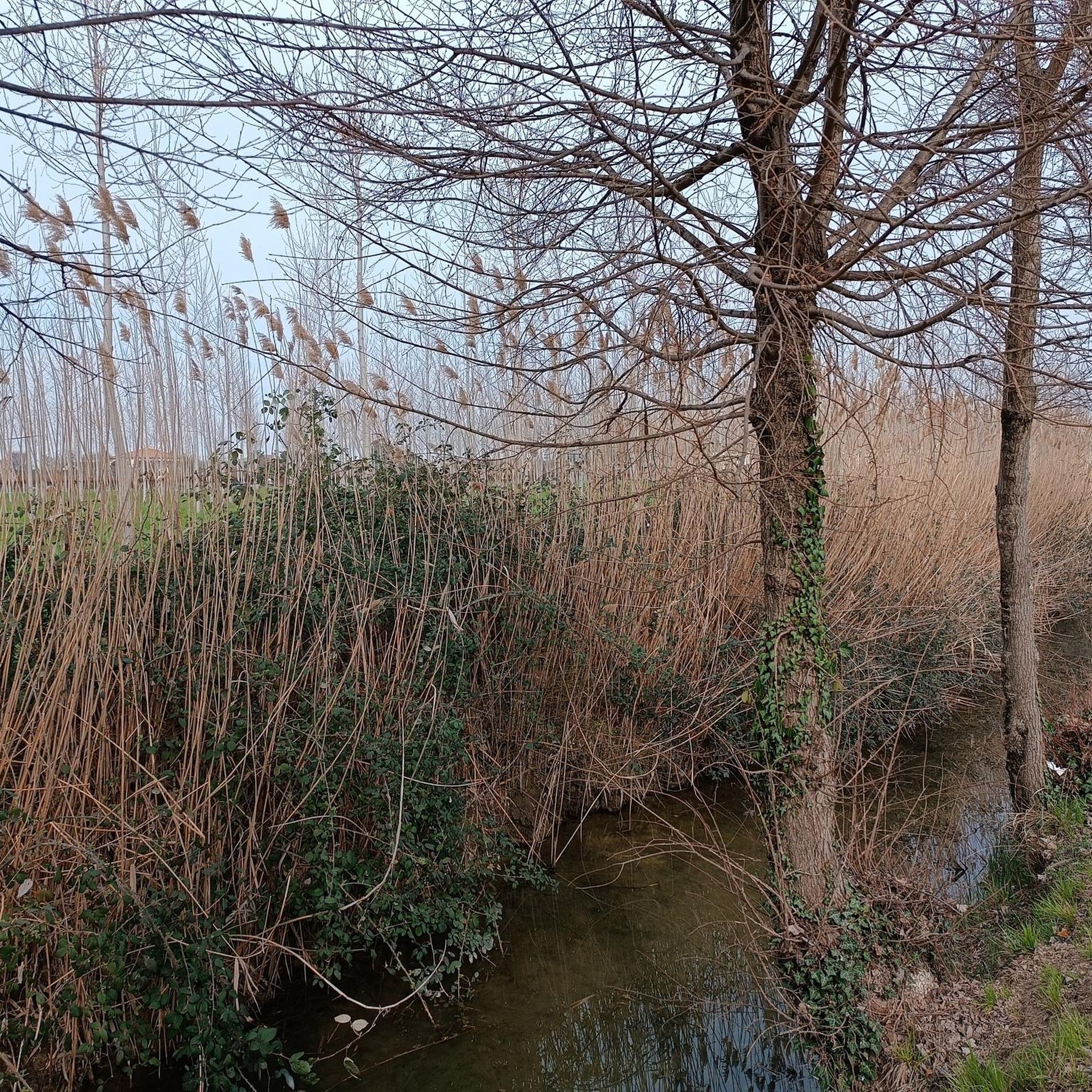
Hiking around Camposampiero offers access to the tranquil Venetian countryside, characterized by flat terrain and a network of well-maintained trails. The region is shaped by the Muson Vecchio and Muson dei Sassi rivers, which often feature alongside routes. While the immediate area is largely flat, the wider Province of Padua includes the Euganean Hills, providing varied landscapes. Historical routes, such as sections of the Treviso-Ostiglia Cycle Path and the Cammino di Sant'Antonio, blend natural exploration with cultural significance.
Best hiking trails around Camposampiero
- The most popular hiking route is Ostiglia Refreshment Kiosk – Treviso-Ostiglia Cycle Path loop from Loreggia, a 4.7 miles (7.6 km) trail that takes 1 hour 55 minutes to complete. This easy route follows a section of the Treviso-Ostiglia Cycle Path.
- Another top favourite among local hikers is Rest Area with Water Fountain loop from Santa Giustina in Colle, an easy 4.1 miles (6.7 km) path. This trail winds through the serene countryside, offering a gentle outdoor experience.
- Local hikers also love the Old Bridge over the Muson – Ostiglia Refreshment Kiosk loop from Camposampiero, a 6.7 miles (10.8 km) trail leading through the flat countryside alongside the Muson river, often completed in about 2 hours 42 minutes.
- Hiking around Camposampiero is defined by its serene countryside, river paths, and historical routes. The network offers options for easy strolls, moderate excursions, and more challenging routes.
- The routes in Camposampiero are highly rated by the komoot community with an average score of 4.4 stars from over 200 reviews. More than 2,300 hikers have used komoot to explore Camposampiero's varied terrain.
Last updated: June 25, 2026
18
hikers
7.67km
01:56
10m
10m
Easy hike. Great for any fitness level. Easily-accessible paths. Suitable for all skill levels.
5.0
(3)
16
hikers
Hard hike. Very good fitness required. Easily-accessible paths. Suitable for all skill levels.

Sign up for free
5.0
(1)
30
hikers
Moderate hike. Good fitness required. Easily-accessible paths. Suitable for all skill levels.
3.0
(3)
15
hikers
7.89km
01:59
10m
10m
Easy hike. Great for any fitness level. Easily-accessible paths. Suitable for all skill levels.
17
hikers
Easy hike. Great for any fitness level. Easily-accessible paths. Suitable for all skill levels.
Get access to more routes and recommendations from other explorers.
Sign up for free
Already have an account?
Our route recommendations are based on thousands of hikes, rides, and runs completed by other people on komoot.
Start today with a free account
Your next adventure awaits.
Login or Signup

Other adventures around Camposampiero

Tips from the Community


...A day that began under an unpromising sky had transformed into a short journey filled with authentic encounters and local experiences that deserve to be known and appreciated much more...
0
0
...The moment was interrupted by the metallic voice of a train station: Castelfranco Veneto was now behind us. I looked at my watch, felt the fatigue creeping up on me, and decided to divert toward Resana...
1
0

You will find the alternative on site
1
0

the passable segment to avoid the closed dangerous bridge!!
1
0

Good Beers Outside the Walls
0
0
This for me is the most beautiful part
8
0

Super friendly owners make for a perfect break on your bike tour! They even have a guestbook where they invite all cyclists to sign and provide great tips for the surrounding area :-)
1
0
Frequently Asked Questions
How many hiking trails are available in Camposampiero?
Camposampiero offers a wide selection of hiking opportunities, with over 170 routes available. These range from easy strolls through the countryside to more challenging excursions, catering to various fitness levels.
What kind of terrain can I expect on hikes around Camposampiero?
The terrain around Camposampiero is predominantly flat, characterized by tranquil Venetian countryside and paths alongside the Muson Vecchio and Muson dei Sassi rivers. While the immediate area is mostly flat, the wider Province of Padua includes the Euganean Hills, offering more varied landscapes for those willing to venture slightly further.
Are there any easy hiking routes suitable for beginners or families?
Yes, Camposampiero is an excellent destination for easy hikes, with over 90 routes classified as easy. A great option for a gentle outdoor experience is the Rest Area with Water Fountain loop from Santa Giustina in Colle, which is 4.1 miles (6.7 km) long and winds through serene countryside.
Can I find longer or more challenging hikes in the area?
Absolutely. While many routes are easy, there are also 77 moderate and 3 difficult hikes available. For a more challenging experience, consider the Porta del Musile – Porta del Musile 12th century loop from Camposampiero, a substantial 14.8 miles (23.8 km) trail that offers a longer exploration of the area.
Are there any circular hiking routes around Camposampiero?
Yes, many of the hiking routes around Camposampiero are circular, allowing you to start and end at the same point. For example, the Old Bridge over the Muson – Ostiglia Refreshment Kiosk loop from Camposampiero is a 6.7 miles (10.8 km) circular trail that follows the Muson river.
What natural features or landmarks can I see while hiking?
Hiking around Camposampiero often features the serene Muson Vecchio and Muson dei Sassi rivers. You can also encounter historical elements like the Roman Centuriation, a grid-like network reflecting ancient craftsmanship. For a notable man-made feature, the Brenta Cycle Bridge is a functional and aesthetic highlight allowing crossings over the Brenta River.
Are there historical routes or significant paths in Camposampiero?
Yes, the region is rich in historical routes. Sections of the famous Treviso-Ostiglia Cycle Path, built on an old railway line, are popular for hiking. Additionally, the Cammino di Sant'Antonio, a pilgrim walk, passes through the area, offering a blend of natural exploration and cultural significance.
Is Camposampiero a good destination for hiking with dogs?
Given the prevalence of flat, well-maintained trails through the countryside and along river paths, Camposampiero is generally suitable for hiking with dogs. Many routes offer open spaces and natural environments for your canine companion to enjoy. Always ensure your dog is on a leash where required and respect local regulations.
What is the best time of year to go hiking in Camposampiero?
The best time to hike in Camposampiero is typically during spring and autumn when the weather is mild and comfortable. Summer can be pleasant, especially along shaded river paths, but can also be quite warm. Winter offers a quieter experience, though some paths might be damp.
Where can I park when starting a hike in Camposampiero?
Parking is generally accessible in the area. For instance, the Province Border on the Treviso-Ostiglia Cycle Path is noted as a comfortable entrance to the cycle path, offering ample shaded parking, making it a convenient starting point for many routes.
What do other hikers say about the trails in Camposampiero?
The hiking routes in Camposampiero are highly rated by the komoot community, with an average score of 4.4 stars from over 200 reviews. Hikers frequently praise the serene countryside, the well-maintained paths, and the peaceful atmosphere along the river routes.
Are there any specific attractions or points of interest near the hiking trails?
Beyond the natural beauty, you can explore several historical sites. Nearby attractions include impressive castles like Villa Contarini, Castelfranco Veneto Castle, and Tempesta Fortress, Noale. These offer a glimpse into the rich history of the region and can be combined with your hiking adventures.
Most popular routes around Camposampiero
Most popular attractions around Camposampiero

Get inspired with the komoot mobile app


Explore more
Browse the best Hikes in other regions.
