The best walks and hikes around Maserà Di Padova
4.3
(4147)
19,486
hikers
587
hikes
Hiking around Maserà Di Padova offers diverse landscapes where plains meet the rolling Euganean Hills. This region is characterized by its volcanic hills, providing a varied topography suitable for different fitness levels. The area also features waterways and a network of paths, contributing to a rich outdoor experience. The province of Padua, where Maserà Di Padova is located, includes hills and rivers, offering various points of interest.
Best hiking trails around Maserà Di Padova
- The most popular hiking route is…
Last updated: July 1, 2026
4.2
(13)
56
hikers
Hard hike. Very good fitness required. Sure-footedness, sturdy shoes and alpine experience required.
4.0
(7)
31
hikers
Moderate hike. Good fitness required. Mostly accessible paths. Sure-footedness required.

Sign up for free
3.7
(3)
61
hikers
Moderate hike. Good fitness required. Easily-accessible paths. Suitable for all skill levels.
4.6
(7)
14
hikers
Moderate hike. Good fitness required. Mostly accessible paths. Sure-footedness required.
25
hikers
Moderate hike. Good fitness required. Easily-accessible paths. Suitable for all skill levels.
Get access to more routes and recommendations from other explorers.
Sign up for free
Already have an account?
Our route recommendations are based on thousands of hikes, rides, and runs completed by other people on komoot.
Start today with a free account
Your next adventure awaits.
Login or Signup
Tips from the Community

Inside the Villa Draghi ring, a place to stop
0
0
Inside the Villa Draghi ring it is possible to see this ancient perlite quarry.
0
0

The former sugar factory in Cartura bears witness to the area's former sugar industry.
0
0

Montegrotto Terme Euganee-Abano-Montegrotto Station Terme Euganee-Abano-Montegrotto Station Terme Euganee-Abano Montegrotto Station is on the Padua-Bologna route. The station also serves the city of Abano Terme. SCHEDULED TIMETABLE https://prm.rfi.it/qo_prm/QO_Partenze_SiPMR.aspx?Id=2627&dalle=04:00&alle=08:00&ora=04:00&guid=65bb19fb-cb6f-4571-8002-36d4d699bc47
15
0

The view is truly beautiful! The climb was a bit strenuous; there was no proper path anymore, just lava rocks. It was short, though, so it's absolutely doable – as long as you're wearing hiking boots! The path down on the northwest side is a bit rocky and muddy in places, but still manageable.
1
0
Ancient water mill located in the village of Pontemanco in the Due Carrare area.
1
0

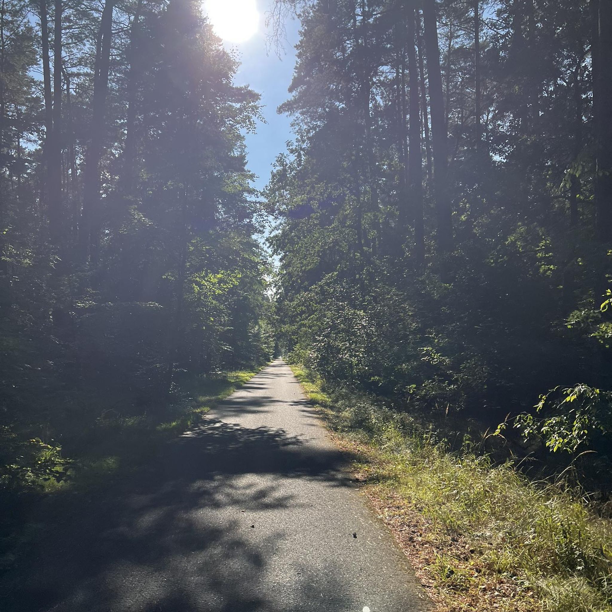
Excellent restaurant, normal prices, nice to reach the destination by walking on the various paths
1
0

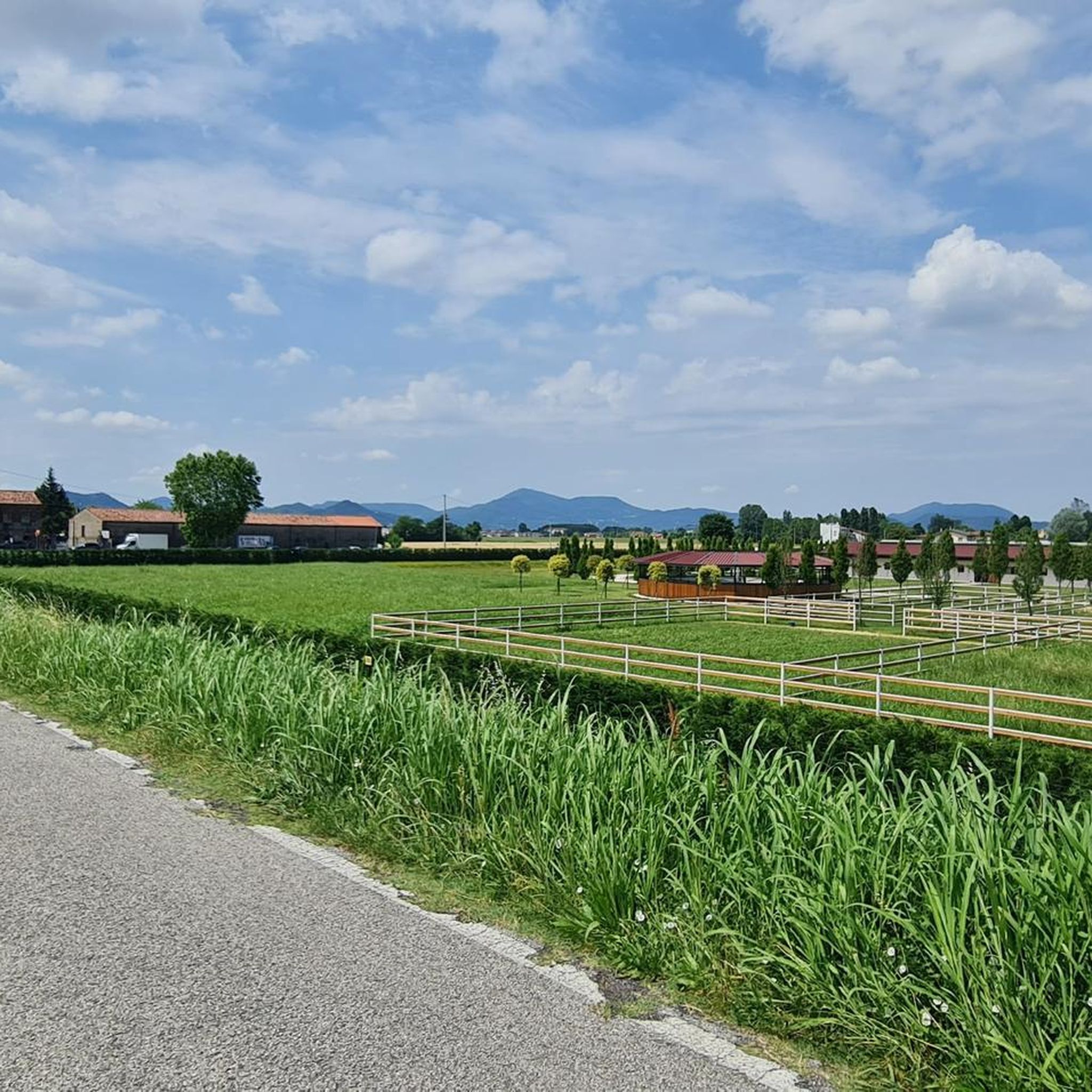
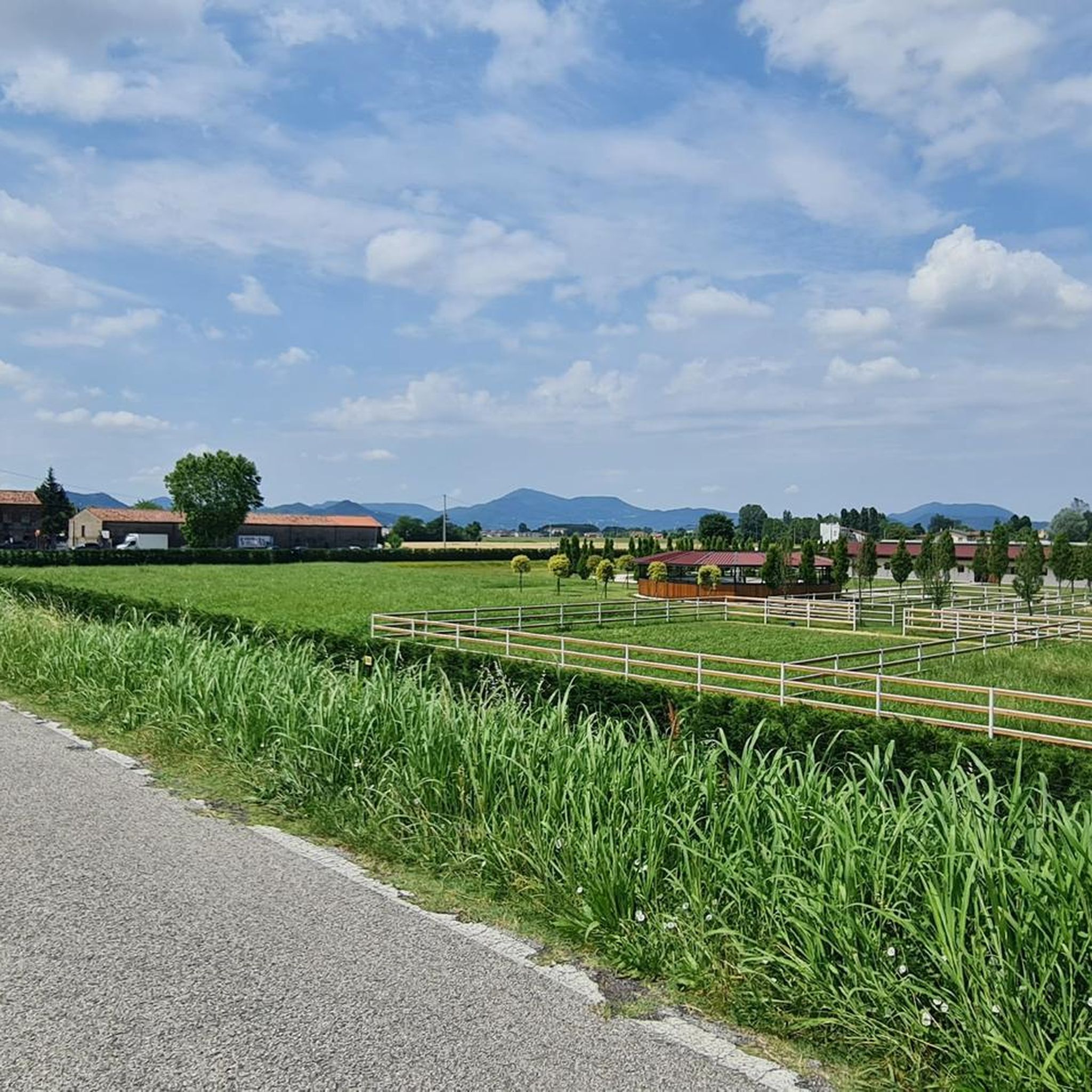
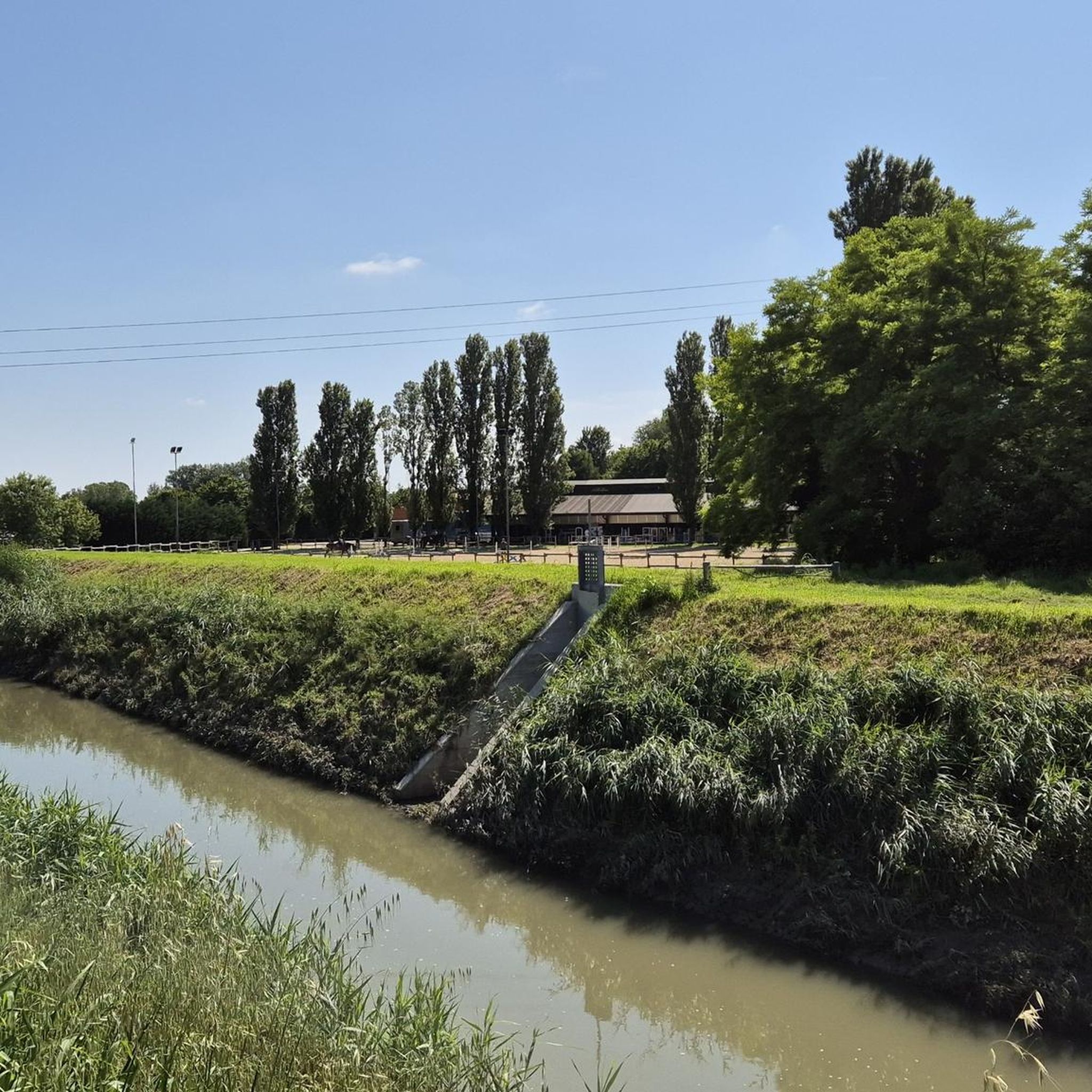
A small village south of Padua
2
0
Frequently Asked Questions
How many hiking trails are available around Maserà Di Padova?
There are over 500 hiking trails around Maserà Di Padova, offering a wide variety of options for all skill levels. This includes nearly 280 easy routes, over 240 moderate trails, and 28 challenging hikes.
Are there any easy, family-friendly hiking trails in the area?
Yes, Maserà Di Padova offers many easy trails suitable for families. For a shorter, accessible option, consider the Montegrotto Terme Church – Cathedral of St. Peter the Apostle loop, which is 4.7 km long and takes about 1 hour 11 minutes to complete, leading through urban and natural landscapes.
What are the best options for challenging hikes near Maserà Di Padova?
For experienced hikers seeking a challenge, the Euganean Hills offer demanding routes. A notable difficult trail is the Trail with Prickly Pear Cacti – Monte Ceva Summit Cross loop, a 21.1 km route with significant elevation changes around Monte Ceva, typically taking about 7 hours. Another challenging option is the Monte Ceva Summit Cross – Mount Trevisan loop, covering 16.3 km.
Are there any circular hiking routes around Maserà Di Padova?
Yes, many trails in the region are circular. For example, the Villa Draghi Trail – Mount Trevisan loop is a moderate 15.8 km circular path offering views around Monte Trevisan. Another is the Former Montesi Sugar Factory – View of the River Bend loop near Cartura, which is 8.4 km long and offers river views.
What natural features or landmarks can I see while hiking in Maserà Di Padova?
The region is rich in natural beauty and historical landmarks. You can explore the volcanic Euganean Hills, enjoy views of waterways like the Battaglia Terme Canal and Brentella Canal, and visit the impressive Praglia Abbey. The Valsanzibio Gardens also offer a beautiful natural monument to discover.
What do other hikers say about the trails in Maserà Di Padova?
The hiking routes around Maserà Di Padova are highly regarded by the komoot community, with an average rating of 4.3 stars from over 3,700 reviews. Hikers often praise the diverse landscapes, from plains to rolling hills, and the variety of trails suitable for different fitness levels.
Is Maserà Di Padova suitable for hiking with dogs?
While specific dog-friendly regulations vary by trail, many natural areas in Italy, especially those outside protected reserves, generally allow dogs on leash. It's always recommended to check local signage or specific trail information for any restrictions before heading out with your dog.
Are there any historical sites or cultural attractions accessible from the hiking trails?
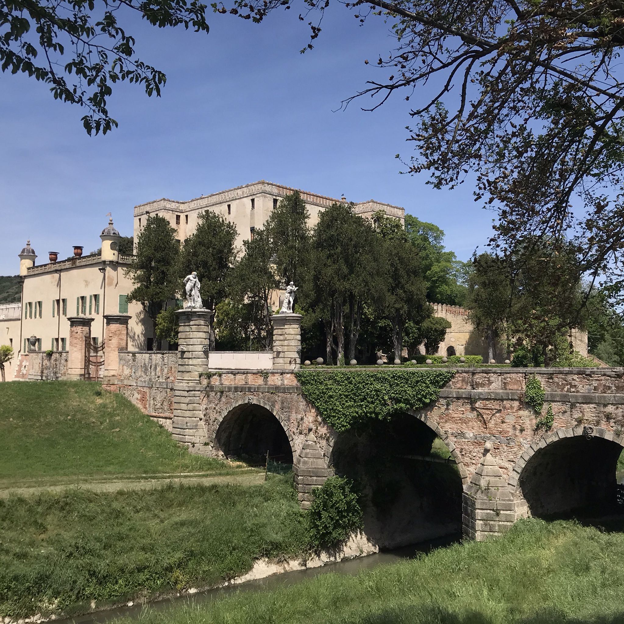
Yes, the region blends natural beauty with rich history. The imposing Praglia Abbey, a Benedictine monastery, is visible from many paths on the northern slopes of the Euganean Hills. Additionally, towns like Battaglia Terme, known for its canals, feature historical sites such as Catajo Castle and Villa Selvatico Sartori, offering cultural depth to your outdoor excursions.
What is the best time of year to go hiking in Maserà Di Padova?
The varied topography of Maserà Di Padova, with its plains and rolling Euganean Hills, makes it suitable for hiking across multiple seasons. Spring and autumn generally offer pleasant temperatures and vibrant scenery, while summer can be enjoyed on shaded trails or during cooler parts of the day. Winter hiking is also an option, especially on less elevated routes.
Are there options for short hiking trails in Maserà Di Padova?
Yes, there are numerous shorter trails available. With nearly 280 easy routes, you can find many options for quick walks. The Montegrotto Terme Church – Cathedral of St. Peter the Apostle loop is a good example, at 4.7 km, perfect for a shorter outing.
Are there any trails that offer good views in the Maserà Di Padova area?
Many trails in the Euganean Hills provide excellent panoramic views. Routes around Monte Ceva and Monte Trevisan, such as the Villa Draghi Trail – Mount Trevisan loop, offer picturesque vistas of the surrounding landscape, characterized by volcanic hills and plains.
Is public transport available to access hiking trails around Maserà Di Padova?
Maserà Di Padova is located in the province of Padua, which has a regional public transport network. While some trailheads, especially those closer to towns like Terme Euganee (Abano - Montegrotto), may be accessible by bus, it's advisable to check local bus schedules and routes for specific trail access points. Parking is generally available at popular starting points for those traveling by car.
Most popular routes around Maserà Di Padova
Most popular attractions around Maserà Di Padova

Get inspired with the komoot mobile app


Explore more
Browse the best Hikes in other regions.
