The best walks and hikes around Piacenza D'Adige
4.3
(156)
1,081
hikers
46
hikes
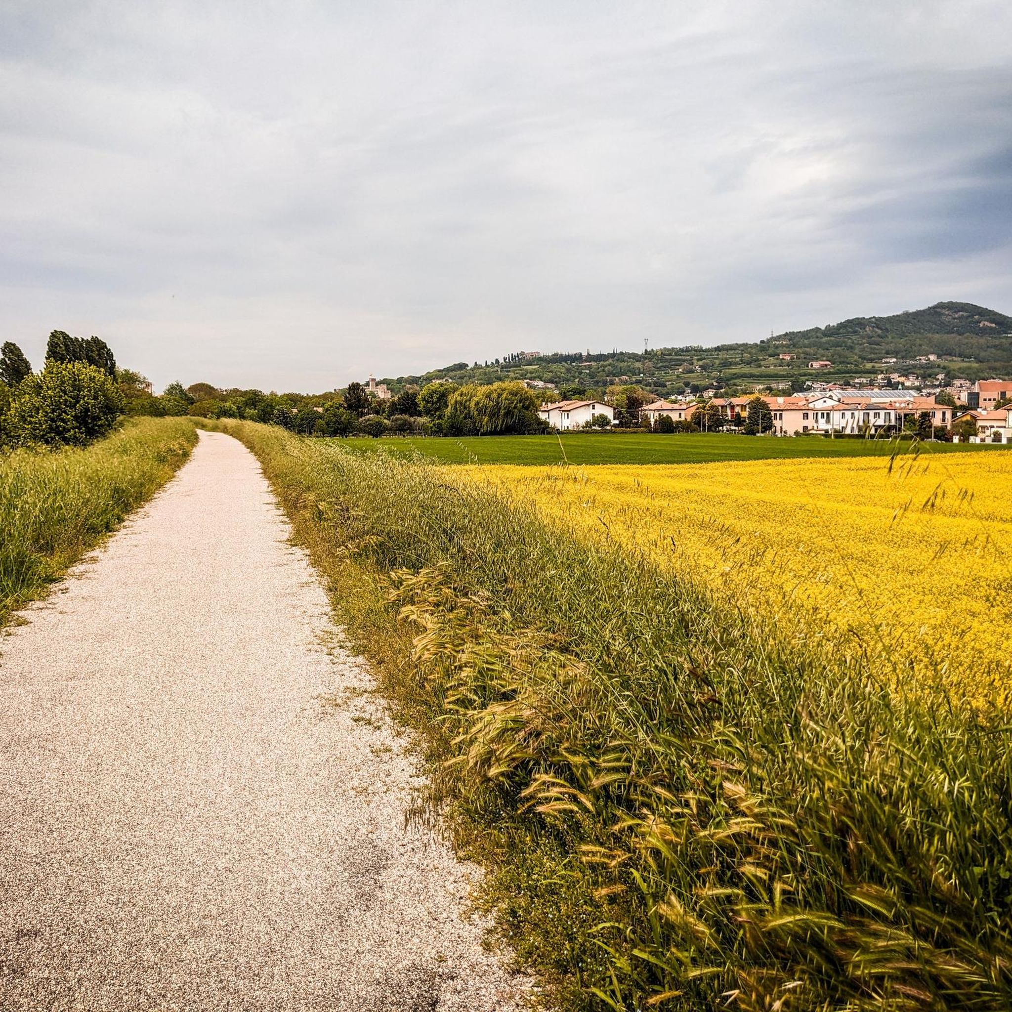
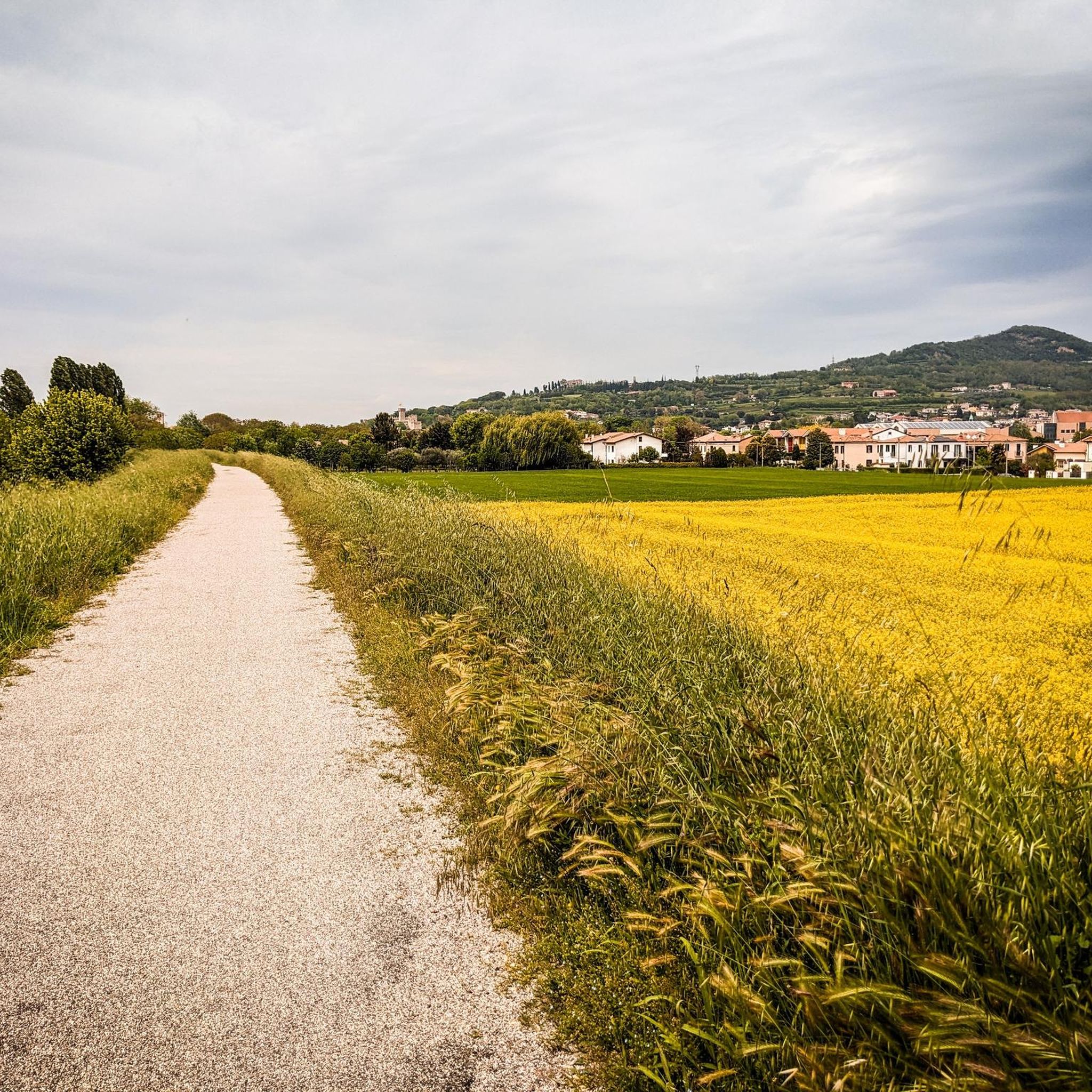
Hiking around Piacenza D'Adige offers opportunities for gentle outdoor activities within a flat, riverine landscape. The area is situated at an elevation of approximately 33 feet (10 meters), characterized by expansive plains and the presence of the Adige River. This terrain is suitable for easy walks and cycling, providing a tranquil setting for exploring the agricultural scenery.
Best hiking trails around Piacenza D'Adige
- The most popular hiking route is Adige River and Vangadizza Abbey Loop, a 7.6 miles (12.3…
Last updated: October 10, 2026
5.0
(4)
9
hikers
12.3km
03:06
20m
20m
Hike a moderate 7.6-mile (12.3 km) loop along the Adige River near Badia Polesine, exploring flat plains and historic landmarks.
4.0
(1)
8
hikers
5.25km
01:20
10m
10m
Easy hike. Great for any fitness level. Easily-accessible paths. Suitable for all skill levels.

4.5
(4)
8
hikers
5.16km
01:18
10m
10m
Easy hike. Great for any fitness level. Easily-accessible paths. Suitable for all skill levels.
9
hikers
Moderate hike. Good fitness required. Easily-accessible paths. Suitable for all skill levels.
5.0
(1)
1
hikers
Easy hike. Great for any fitness level. Easily-accessible paths. Suitable for all skill levels.
Get access to more routes and recommendations from other explorers.
Already have an account?
Our route recommendations are based on thousands of hikes, rides, and runs completed by other people on komoot.
Start today with a free account
Your next adventure awaits.
Tips from the Community

The Public Gardens of Este, located in the heart of the town at the foot of the Euganean Hills, offer a fascinating green oasis enclosed within the imposing fourteenth-century walls of the Carrarese Castle. This historic park combines the solemnity of medieval architecture, with its towers and ramparts, with rich vegetation characterized by large lawns and majestic centuries-old trees, including imposing Lebanon cedars. Within the same area stands Palazzo Mocenigo, home to the National Atestino Museum, creating a perfect blend of nature, archaeology, and history. The garden has always been the ideal meeting place for relaxing walks, cultural events, and city flower shows, offering evocative views and a serene atmosphere in every season.
0
0


11th-century church with a leaning steeple...
0
0

beautiful castle with large park and well maintained
1
0

Piazza Maggiore is the beating heart of this vibrant historic city. It strikes for the elegance of its Renaissance buildings with clean lines and soft colors.
3
0

In reality, nothing remains of the castle, but the notable medieval walls that surrounded it remain: destroyed and rebuilt several times over the centuries, they are 1 km long; on the top of the hill, the keep which is still present watched over the entire town. Today the city walls enclose the very well-kept and spectacular Italian gardens, inaugurated in 1915, with orderly avenues and geometric flowerbeds, with tree species and centuries-old plants. The park, ideal for walking and relaxing, is open to the public free of charge: it closes in the evening/night, with times that vary depending on the season (see link). https://www.estedavivere.it/it/poi/castello-di-este/ https://www.euganeamente.it/il-castello-carrarese-di-este/
1
0

Very beautiful and worth seeing! ❤️
2
0

Este is the most interesting town on the "Anello dei Colli Euganei", very quiet in the afternoon
3
0
Frequently Asked Questions
How many hiking trails are available around Piacenza d'Adige?
There are over 35 hiking routes available around Piacenza d'Adige. These include a mix of easy, moderate, and a few more challenging options, primarily focusing on riverine paths and agricultural landscapes.
What kind of terrain can I expect when hiking near Piacenza d'Adige?
Hiking around Piacenza d'Adige is characterized by flat, riverine landscapes and expansive plains. The terrain is generally gentle, making it ideal for easy walks and cycling, with an average elevation of about 10 meters (33 feet). You'll mostly find paths along the Adige River and through agricultural scenery.
Are there challenging hikes with significant elevation gain in Piacenza d'Adige?
Piacenza d'Adige, located in the Veneto region, is known for its flat, riverine landscape, which is more suited for gentle walks and cycling. For those seeking challenging hikes with significant elevation gain, waterfalls, and mountainous terrain, the broader Piacenza region in Emilia-Romagna offers such experiences, particularly in its Apennine valleys. However, within Piacenza d'Adige itself, the routes are predominantly easy to moderate.
What is the best time of year for hiking in Piacenza d'Adige?
The flat terrain of Piacenza d'Adige makes it suitable for hiking for much of the year. Spring and autumn offer pleasant temperatures and beautiful scenery, while summer can be warm but still enjoyable for early morning or late afternoon walks. Winter walks are also possible, though some paths might be muddy after rain.
Are there any circular hiking routes in the area?
Yes, many routes around Piacenza d'Adige are designed as loops. For example, the Adige River and Vangadizza Abbey Loop is a popular moderate circular trail. Another option is the easy Carrarese Castle, Este – Este Castle Gardens loop from Este, which explores the surroundings of Este.
Can I bring my dog on the hiking trails around Piacenza d'Adige?
Generally, dogs are welcome on most hiking trails in the Piacenza d'Adige area, especially on the open riverine paths and agricultural routes. It's always advisable to keep your dog on a leash, especially near farmlands or in areas where wildlife might be present, and to carry water for them. Always check local signage for any specific restrictions.
Are there family-friendly hiking options near Piacenza d'Adige?
Absolutely. The predominantly flat and gentle terrain around Piacenza d'Adige is ideal for families with children. Many of the easy routes, such as the Hiking loop from Este, are suitable for all ages and fitness levels, offering a relaxed way to enjoy the outdoors.
What historical landmarks or attractions can I see along the hiking trails?
Several routes offer glimpses of historical sites. For instance, the Adige River and Vangadizza Abbey Loop passes by historical sites. Near Este, you can explore the Carrarese Castle, Este, or visit the Piazza Maggiore, Este. Other nearby attractions include the Historic Walls of Montagnana and Torre Morosini.
Are there any waterfalls to discover on hikes near Piacenza d'Adige?
Piacenza d'Adige's flat, riverine landscape does not feature natural waterfalls. If you are looking for scenic waterfalls, you would need to venture to the broader Piacenza region in Emilia-Romagna, where trails like the Perino Waterfalls Trail offer such natural attractions.
What do other hikers enjoy most about hiking in Piacenza d'Adige?
The hiking routes around Piacenza d'Adige are highly rated by the komoot community, with an average score of 4.2 stars from over 100 reviews. Hikers often praise the tranquil riverine paths, the expansive agricultural scenery, and the ease of access for gentle outdoor activities.
Are there options for public transport to reach trailheads in Piacenza d'Adige?
While specific public transport options to individual trailheads can vary, Piacenza d'Adige is a municipality within the Province of Padua. It's advisable to check local bus schedules or regional train services that connect to nearby towns like Este, from which many routes originate. Planning ahead is recommended for public transport access.
Are there places to eat or stay near the hiking trails in Piacenza d'Adige?
Yes, after your outdoor activities, you can enjoy local specialties in Piacenza d'Adige and surrounding towns. The region is known for its fish dishes, sausages, and polenta. You'll find various restaurants, cafes, and accommodation options in the municipality itself and in nearby larger towns like Este, offering places to refresh and stay.
What is the difficulty level of most hikes in Piacenza d'Adige?
The majority of hikes in Piacenza d'Adige are classified as easy to moderate. Out of 35 available routes, 17 are easy and 14 are moderate, making the area very accessible for casual walkers and those looking for a relaxed outdoor experience. There are only a few routes considered difficult, which typically involve slightly longer distances rather than significant elevation changes.
Most popular routes around Piacenza D'Adige
Most popular attractions around Piacenza D'Adige

Get inspired with the komoot mobile app


Explore more
Browse the best Hikes in other regions.
