The best road cycling routes around Merlara
4.2
(90)
3,519
riders
196
rides
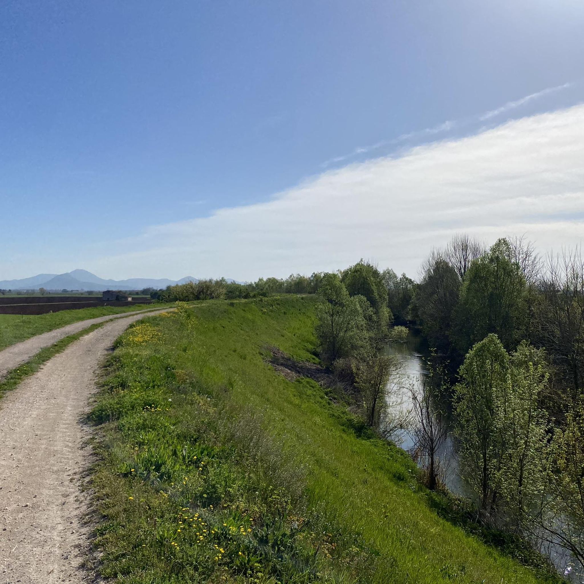
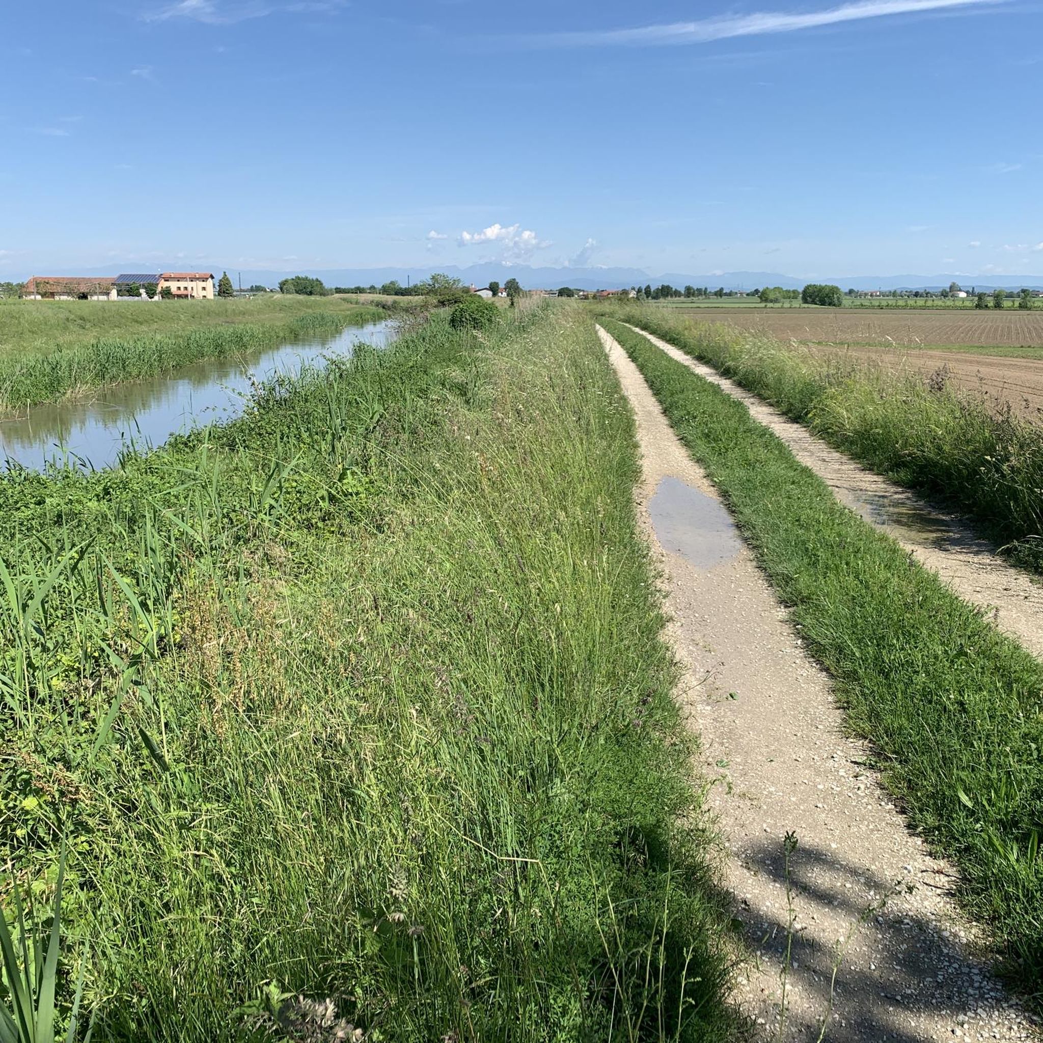
Road cycling routes around Merlara traverse a predominantly flat to gently undulating landscape, characteristic of the Veneto plain. The region features agricultural fields, historical towns, and waterways, offering a mix of open roads and scenic paths. Elevation gains are generally low, with some routes featuring gradual ascents. The terrain is suitable for various road cycling abilities, from leisurely rides to longer, more challenging distances.
Best road cycling routes around Merlara
- The most popular road cycling route is Montagnana City Walls…
Last updated: October 22, 2026
4.6
(5)
119
riders
54.7km
02:04
60m
60m
Moderate road ride. Good fitness required. Mostly well-paved surfaces and easy to ride.
5.0
(1)
23
riders
97.3km
03:57
480m
480m
Moderate road ride. Good fitness required. Mostly well-paved surfaces and easy to ride.

5.0
(1)
11
riders
73.6km
03:16
560m
560m
Moderate road ride. Good fitness required. Some segments of this route may be unpaved and difficult to ride.
10
riders
36.9km
01:23
30m
30m
Easy road ride. Great for any fitness level. Mostly well-paved surfaces and easy to ride.
5
riders
Easy road ride. Great for any fitness level. Mostly well-paved surfaces and easy to ride.
Get access to more routes and recommendations from other explorers.
Already have an account?
Our route recommendations are based on thousands of hikes, rides, and runs completed by other people on komoot.
Start today with a free account
Your next adventure awaits.


Tips from the Community

small tower worth seeing
0
0
Beautiful paved cycle path
2
0
Bicycle bridge unfortunately closed, use the cycle path or elevator, then road
2
0
Partly nice cycle paths on both sides, only the cycle bridge is currently closed
1
0

Located along the road leading up to the upper village of Arquà Petrarca, Palazzo Contarini is a refined example of 15th-century Gothic-Venetian architecture in the Euganean Hills. The building stands out for its elegant Venetian-style facade, embellished with trifora and bifora windows with trefoil arches that recall the style of the palaces of the Serenissima. Fascinating traces of ancient Renaissance frescoes that once entirely decorated its exterior surface are still visible today. Built as a country residence by one of the most illustrious Venetian patrician families of the time, the palace testifies to the close link between the nobility of Venice and the Euganean territory, often chosen as a place for holidays, rest, and meditation. Today, perfectly integrated into the historical context of the village, it represents a stop of great historical and architectural value for those visiting the town.
0
0

Monastery belonging to the nearby Abbey of Praglia, a mystical place that does not leave one indifferent
1
0

English historical repertoire if I remember correctly
0
0

It is one of the most challenging climbs in the Euganean Hills. Monte della Madonna da Teolo is a climb located in the Padova region. It has a length of 4.2 km, an elevation gain of 362 m, and an average gradient of 8.6%. The highest point is at 522 m above sea level. After Monte Venda (601 m) it is the second highest point in the Euganean Hills.
1
0
Frequently Asked Questions
How many road cycling routes are available around Merlara?
There are nearly 200 road cycling routes around Merlara, offering a wide range of options for different skill levels and preferences. The komoot community has mapped 186 routes in total.
Are there easy road cycling routes suitable for beginners in Merlara?
Yes, Merlara offers many easy road cycling routes perfect for beginners or those seeking a relaxed ride. With 76 easy routes, you'll find plenty of options. A great example is the Legnago Tower – Bevilacqua Castle loop from Castagnaro, an easy 30.2-mile (48.6 km) path that connects historical landmarks across flat terrain.
What kind of terrain can I expect on road cycling routes in Merlara?
The road cycling routes around Merlara primarily traverse a flat to gently undulating landscape, characteristic of the Veneto plain. You'll encounter agricultural fields, historical towns, and waterways, with generally low elevation gains. Some routes feature gradual ascents, but the overall terrain is suitable for various road cycling abilities.
Are there challenging road cycling routes near Merlara?
While the region is largely flat, there are routes that offer longer distances and some undulating sections for a more challenging experience. For instance, the Bevilacqua Castle – Palazzo Contarini loop from Bevilacqua is a 60.7-mile (97.8 km) trail leading through an undulating landscape with historical architecture, often completed in about 4 hours.
What are some scenic viewpoints or landmarks to see along the routes?
Merlara's routes offer glimpses of historical architecture and natural beauty. You can cycle past the impressive Historic Walls of Montagnana, explore the area around Legnago Tower, or enjoy sections of the Adige Cycle Path near Legnago. Many routes also feature charming historical towns and agricultural vistas.
What do other road cyclists say about the routes in Merlara?
The road cycling routes in Merlara are highly rated by the komoot community, with an average score of 4.5 stars from over 80 reviews. Cyclists often praise the well-maintained roads, the blend of historical sights with peaceful agricultural scenery, and the variety of routes suitable for different fitness levels.
Are there circular road cycling routes available in Merlara?
Yes, many of the road cycling routes around Merlara are circular, making them convenient for starting and ending at the same point. A popular circular route is the Montagnana City Walls – Historic Walls of Montagnana loop from Bevilacqua, a 41.2-mile (66.3 km) trail that circles the historic city walls.
What is the best time of year for road cycling in Merlara?
The best time for road cycling in Merlara is typically during the spring (April to June) and autumn (September to October) months. During these periods, the weather is generally mild and pleasant, with less heat than summer and fewer chances of rain compared to winter, making for ideal cycling conditions across the flat plains.
Are there any shorter road cycling routes for a quick ride?
Absolutely. If you're looking for a shorter ride, there are several options. The Legnago Tower – Birthplace of Antonio Salieri loop from Marega is an easy 17.1-mile (27.5 km) route that can be completed in just over an hour, perfect for a quick spin.
Where can I find parking for road bike trails in Merlara?
Parking availability varies by starting point. Many routes begin near towns or villages where public parking is often available. For specific routes, it's advisable to check the route details on komoot, as users often share information about convenient parking spots near trailheads.
Can I access road cycling routes in Merlara using public transport?
While Merlara itself is a smaller town, the broader Veneto region has a public transport network of buses and regional trains. Depending on your starting point, you might be able to reach towns near the routes by public transport. However, direct access to all trailheads via public transport might be limited, so planning your journey in advance is recommended.
Are there cafes or refreshment stops along the road cycling routes?
Given that many routes pass through or near historical towns and villages, you'll often find opportunities for cafes, bakeries, and small shops to refuel and refresh. It's a good idea to check the map for towns along your chosen route to plan your stops.
Most popular attractions around Merlara

Get inspired with the komoot mobile app


Explore more
Browse the best Road cycling routes in other regions.
