The best walks and hikes around Rondanina
4.5
(919)
3,367
hikers
139
hikes
Hiking around Rondanina, Italy, offers varied terrain within the Ligurian Apennines and the Antola Regional Natural Park. This region is characterized by mountainous landscapes, including the rocky Bric di Rondanina, and features the Upper Trebbia Valley. The area also encompasses parts of Lake Brugneto, providing opportunities for waterside walks amidst its scenic beauty.
Best hiking trails around Rondanina
- The most popular hiking route is Brugneto Lake Loop, a 8.3 miles (13.4 km) trail that takes 3 hours 49 minutes…
Last updated: June 24, 2026
4.5
(82)
252
hikers
13.4km
03:49
300m
300m
Moderate hike. Good fitness required. Easily-accessible paths. Suitable for all skill levels.
9
hikers
5.58km
01:46
210m
210m
Easy hike. Great for any fitness level. Easily-accessible paths. Suitable for all skill levels.

Sign up for free
15.0km
05:42
690m
680m
Hard hike. Very good fitness required. Mostly accessible paths. Sure-footedness required.
11.5km
04:02
650m
650m
Moderate hike. Good fitness required. Mostly accessible paths. Sure-footedness required.
7.50km
02:53
440m
440m
Moderate hike. Good fitness required. Mostly accessible paths. Sure-footedness required.
Get access to more routes and recommendations from other explorers.
Sign up for free
Already have an account?
Our route recommendations are based on thousands of hikes, rides, and runs completed by other people on komoot.
Start today with a free account
Your next adventure awaits.
Login or Signup
Tips from the Community

Unfortunately this place is infested with ticks. Be very careful!
0
0

Is it swimmable?
0
0


Fascia, nestled in the Antola Park, is the second smallest village in Liguria with only 70 inhabitants. Excellent starting point to reach the Casa del Romano and the Piana della Cavalla.
1
0
Monte della Cavalla in the Ligurian Apennines is known for the daffodil blooms between May and June at Pian della Cavalla. Reachable from both Casa del Romano and Fontanarossa.
1
0

Here is a small wooden house used by fishermen for their activities on the lake.
1
0
Perfect place to cool off and relax in the clear waters of the lake.
2
0
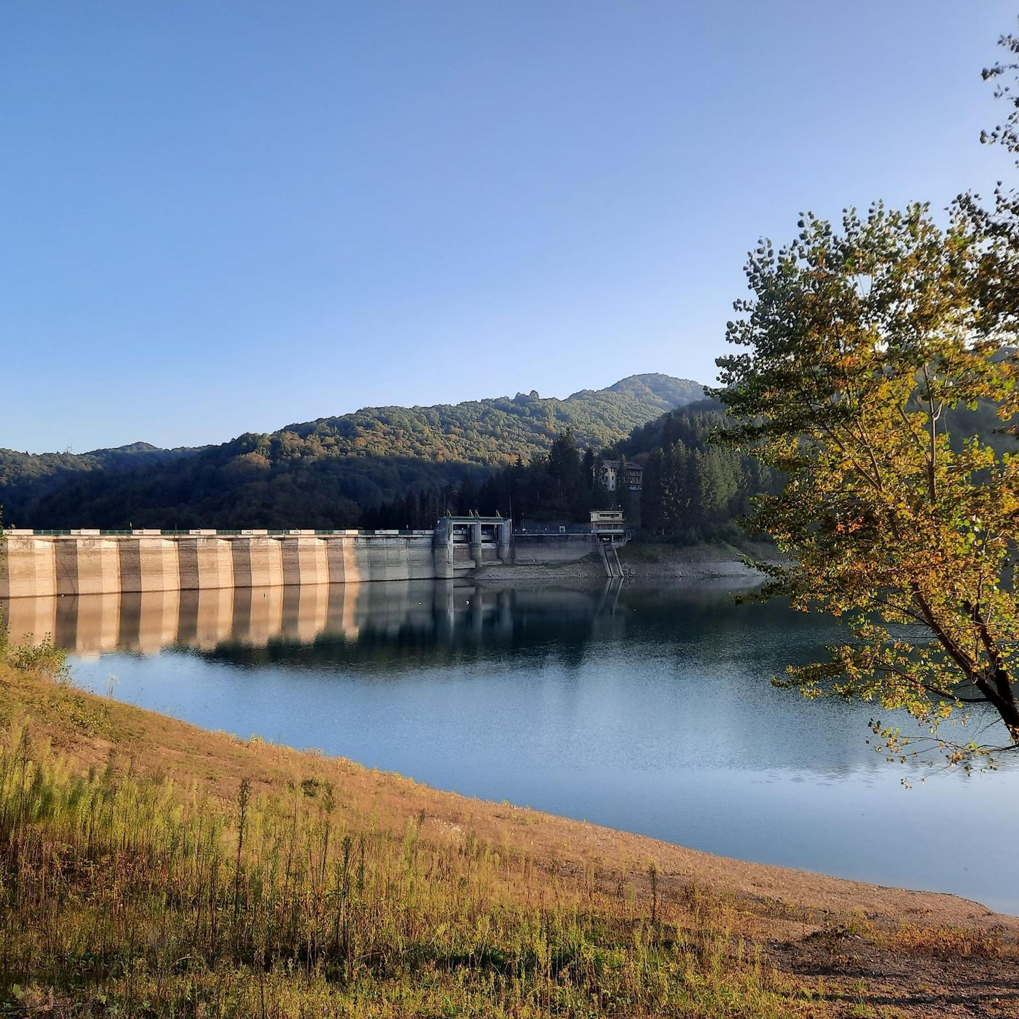
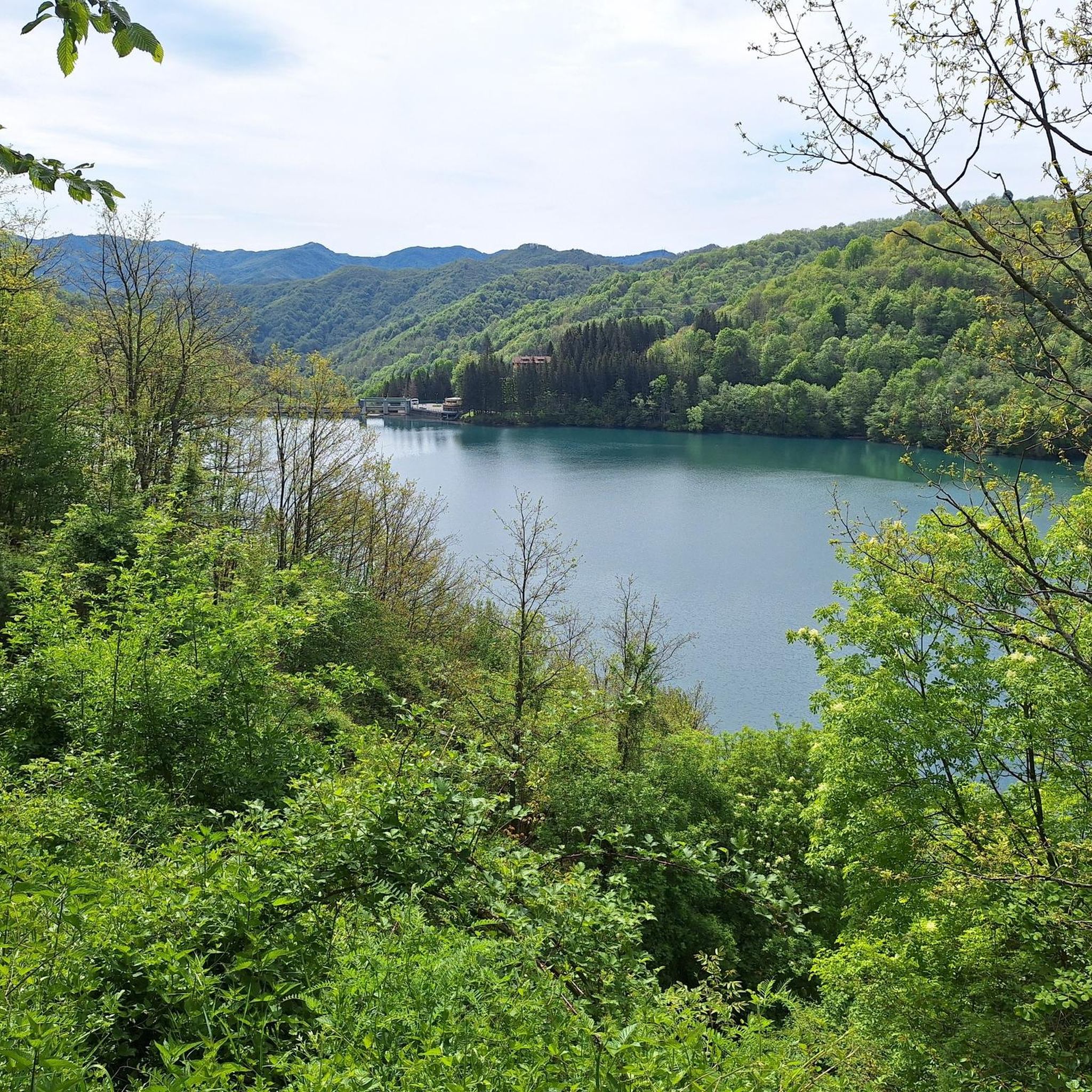
The path runs alongside the Bugneto lake between dense vegetation and the blue mirror of the waters.
2
0
Frequently Asked Questions
How many hiking trails are available around Rondanina?
Rondanina and its surrounding area offer a wide variety of hiking opportunities, with over 130 routes recorded on komoot. These trails traverse the diverse landscapes of the Ligurian Apennines and the Antola Regional Natural Park.
What kind of terrain can I expect on hikes in Rondanina?
The terrain around Rondanina is primarily mountainous, characteristic of the Ligurian Apennines. You'll find varied landscapes, from rugged peaks and rocky outcrops like the Bric di Rondanina to verdant valleys and forested areas within the Antola Regional Natural Park. Many routes also feature views of or access to Lake Brugneto.
Are there easy hiking trails suitable for beginners or families in Rondanina?
Yes, Rondanina offers several easy trails. For instance, the Anello di Fascia - Pian della Cavalla is an easy 5.6 km path that leads through open landscapes and provides panoramic views of the Antola Regional Natural Park. There are 7 easy routes in total, perfect for a relaxed outing.
Are there any circular hiking routes around Rondanina?
Yes, circular routes are a great way to explore the area. The Brugneto Lake Loop is a popular moderate 13.4 km trail that circles Lake Brugneto, offering scenic water and hill views. Another option is the Rondanina Loop Trail, a moderate 7.5 km route starting and ending in the village.
What natural features or landmarks can I see while hiking in Rondanina?
Hikers can discover several notable natural features and landmarks. The area is dominated by the Ligurian Apennines and the Antola Regional Natural Park, offering stunning panoramas, especially from peaks like Mount Antola. You can also explore the scenic Lago del Brugneto Trail around the artificial lake. Other summits like Mount Gifarco and Monte Della Cavalla also offer impressive views.
What is the best time of year for hiking in Rondanina?
While specific seasonal recommendations depend on the trail, the Ligurian Apennines generally offer pleasant hiking conditions from spring through autumn. Spring brings blooming flora, and autumn provides vibrant foliage. Summer is also popular, especially at higher elevations, though some lower trails might be warm. Winter hiking is possible but requires appropriate gear and awareness of snow conditions, particularly in the Antola Regional Natural Park.
Are there any challenging hikes for experienced trekkers?
Yes, for experienced hikers seeking a challenge, Rondanina offers more difficult routes. The Montebruno - Rondanina Trail is a difficult 15.0 km path through the Ligurian Apennines, typically taking over 5 hours to complete, with significant elevation changes. There are 38 difficult routes in the area for those looking for a strenuous adventure.
What do other hikers say about the trails in Rondanina?
The hiking trails in Rondanina are highly regarded by the komoot community, holding an average rating of 4.5 stars from over 800 reviews. Hikers often praise the diverse landscapes, the tranquility of the Antola Regional Natural Park, and the well-maintained paths that cater to various skill levels.
Are there places to stay or eat near the hiking trails in Rondanina?
Yes, the main town of Rondanina offers the Rifugio Rondanina, which provides accommodation for hikers. Additionally, the area has other facilities like the Fishermen's Cabin at Lago del Brugneto and Rifugio Barbagelata, which can serve as rest stops or overnight options. For more amenities, nearby villages in the Trebbia Valley offer cafes and restaurants.
Is public transport available to reach trailheads in Rondanina?
Public transport options to Rondanina and its trailheads can be limited, as it is a small municipality nestled in the Ligurian Apennines. It's advisable to check local bus schedules from larger towns in the Metropolitan City of Genoa or the Trebbia Valley, as services may be infrequent, especially on weekends or during off-peak seasons. Driving is often the most flexible way to access various starting points.
Are there any cultural attractions or museums in Rondanina?
Beyond hiking, Rondanina offers a few cultural points of interest. In the main settlement, you can visit the Museum of Flora and Fauna to learn about local biodiversity. There's also the "Il Lupo in Liguria" Visitors' Centre, which provides insights into the wolf population. The historic Church of San Nicola, rebuilt in the 17th century, is another notable site.
Are the trails around Rondanina suitable for dog walking?
Many trails in the Antola Regional Natural Park and around Rondanina are suitable for dogs, provided they are kept on a leash and owners adhere to park regulations. The natural environment offers plenty of space for dogs to enjoy. Always ensure your dog is well-behaved and that you clean up after them to preserve the natural beauty for everyone.
Most popular routes around Rondanina
Most popular attractions around Rondanina

Get inspired with the komoot mobile app


Explore more
Browse the best Hikes in other regions.
