The best road cycling routes around Rovegno
4.4
(82)
1,365
riders
32
rides
Road cycling around Rovegno, located in the Metropolitan City of Genoa, offers diverse terrain within the Val Trebbia and Ligurian Apennines. The region features varied topography, including both flatter sections and challenging mountainous ascents. Cyclists will encounter a rich and varied forest heritage, with continuous changes in trees and undergrowth influenced by local conditions. The Trebbia River carves its way through the valley, creating impressive meanders and small lakes amidst steep, wooded slopes.
Best road cycling routes in Rovegno
- The…
Last updated: October 18, 2026
97
riders
97.4km
05:05
1,750m
1,750m
Hard road ride. Very good fitness required. Mostly well-paved surfaces and easy to ride.
4.7
(3)
68
riders
57.9km
03:14
1,280m
1,280m
Hard road ride. Very good fitness required. Mostly well-paved surfaces and easy to ride.

4.7
(3)
41
riders
59.7km
03:26
1,320m
1,320m
Hard road ride. Very good fitness required. Mostly well-paved surfaces and easy to ride.
2.0
(1)
39
riders
58.6km
03:07
1,130m
1,120m
Hard road ride. Very good fitness required. Mostly well-paved surfaces and easy to ride.
4.6
(5)
33
riders
60.4km
03:35
1,510m
1,510m
Hard road ride. Very good fitness required. Mostly well-paved surfaces and easy to ride.
Get access to more routes and recommendations from other explorers.
Already have an account?
Our route recommendations are based on thousands of hikes, rides, and runs completed by other people on komoot.
Start today with a free account
Your next adventure awaits.
Tips from the Community

from Valle Sturla to Val d'Aveto
0
0

One of the most scenic spots in Val Trebbia.
15
0
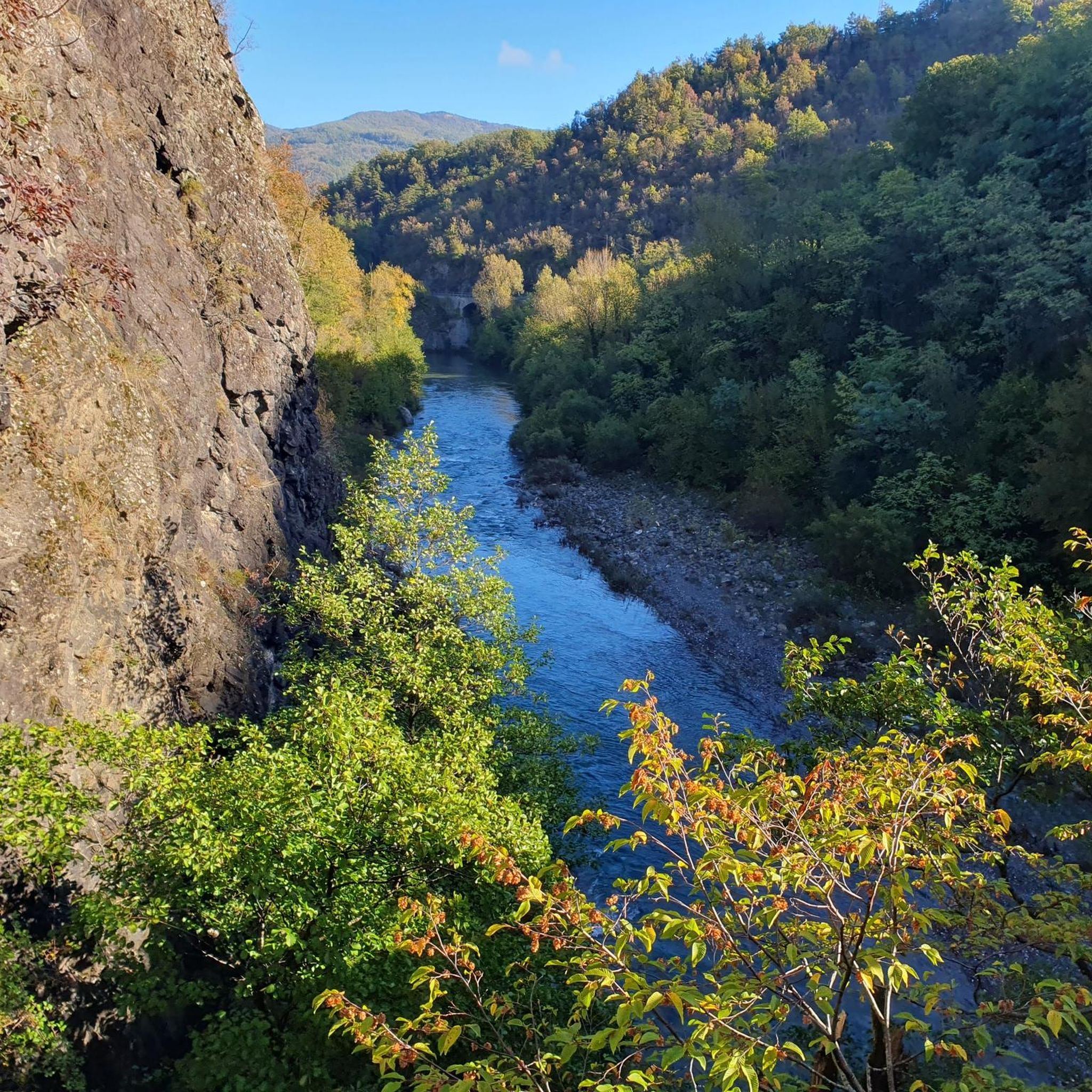
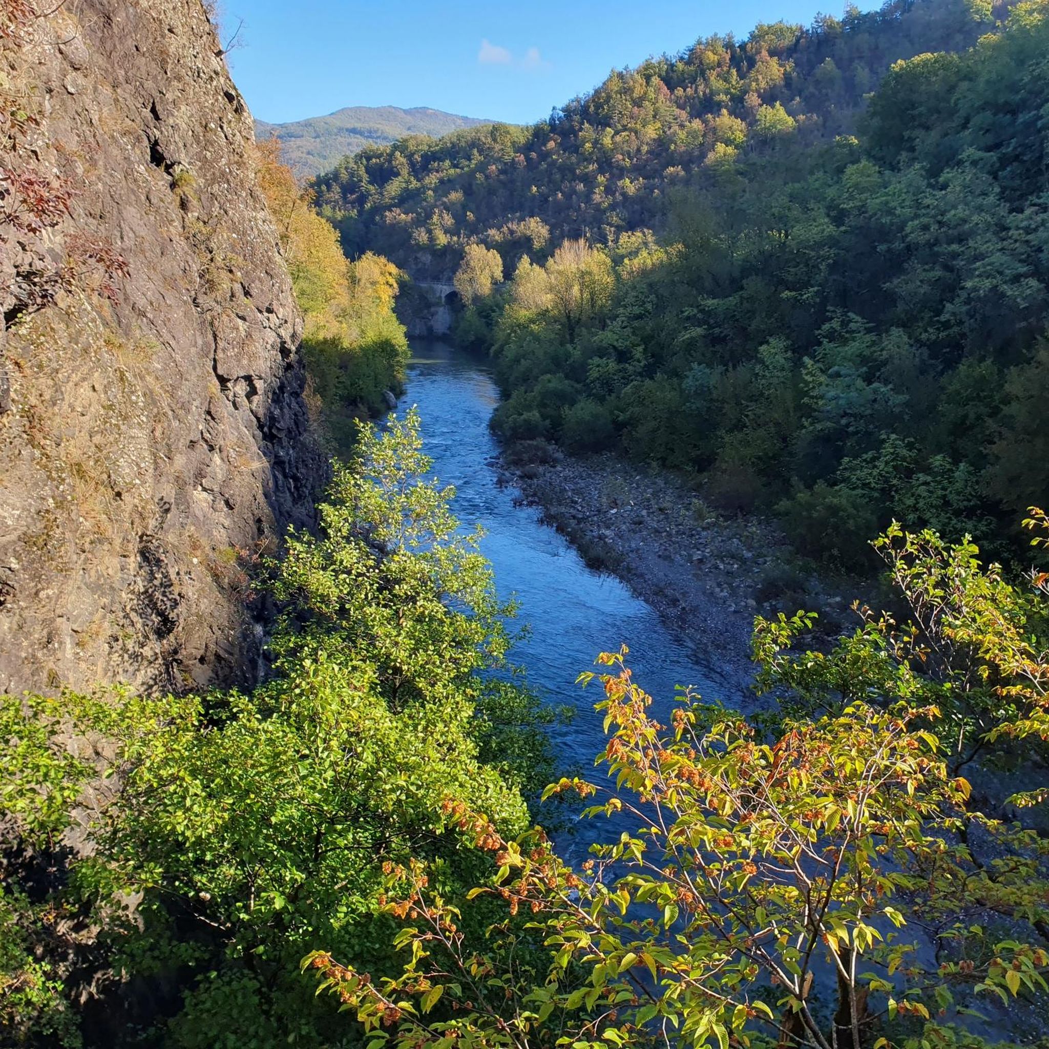
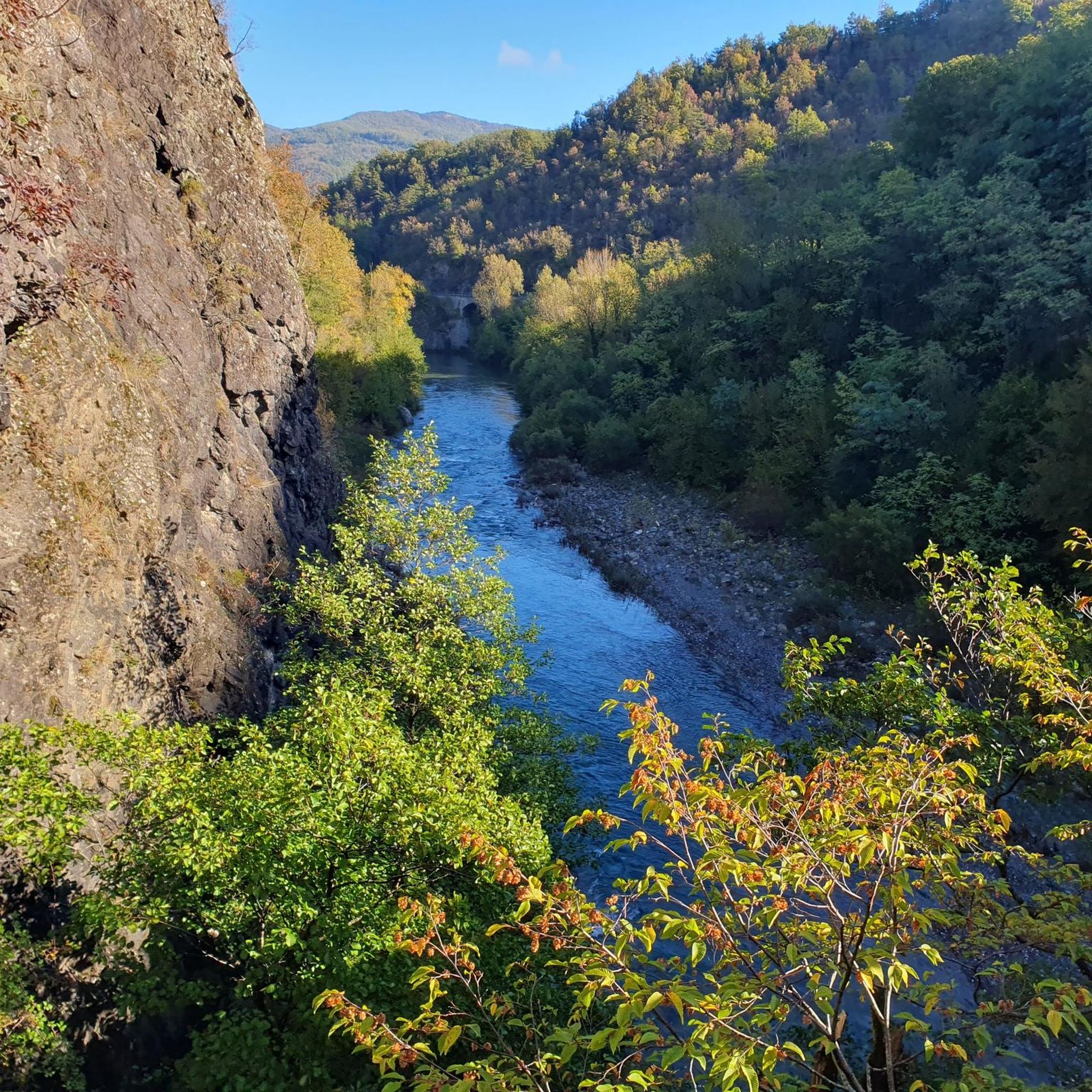
The banks of the Trebbia river are among the most beautiful elements of the Trebbia Valley, especially in the stretch between Piacenza and the Ligurian-Emilian Apennines, where the river alternates gravel beaches, rocky walls, and very wild green areas.
13
0
The bends of the Trebbia river (also called meanders) are the large curves that the river forms in the Trebbia Valley, especially in the Apennine stretch between Bobbio, Brugnello and Marsaglia.
11
0
The San Salvatore area, between Marsaglia and Bobbio, offers one of the most spectacular panoramas in the Trebbia Valley.
11
0
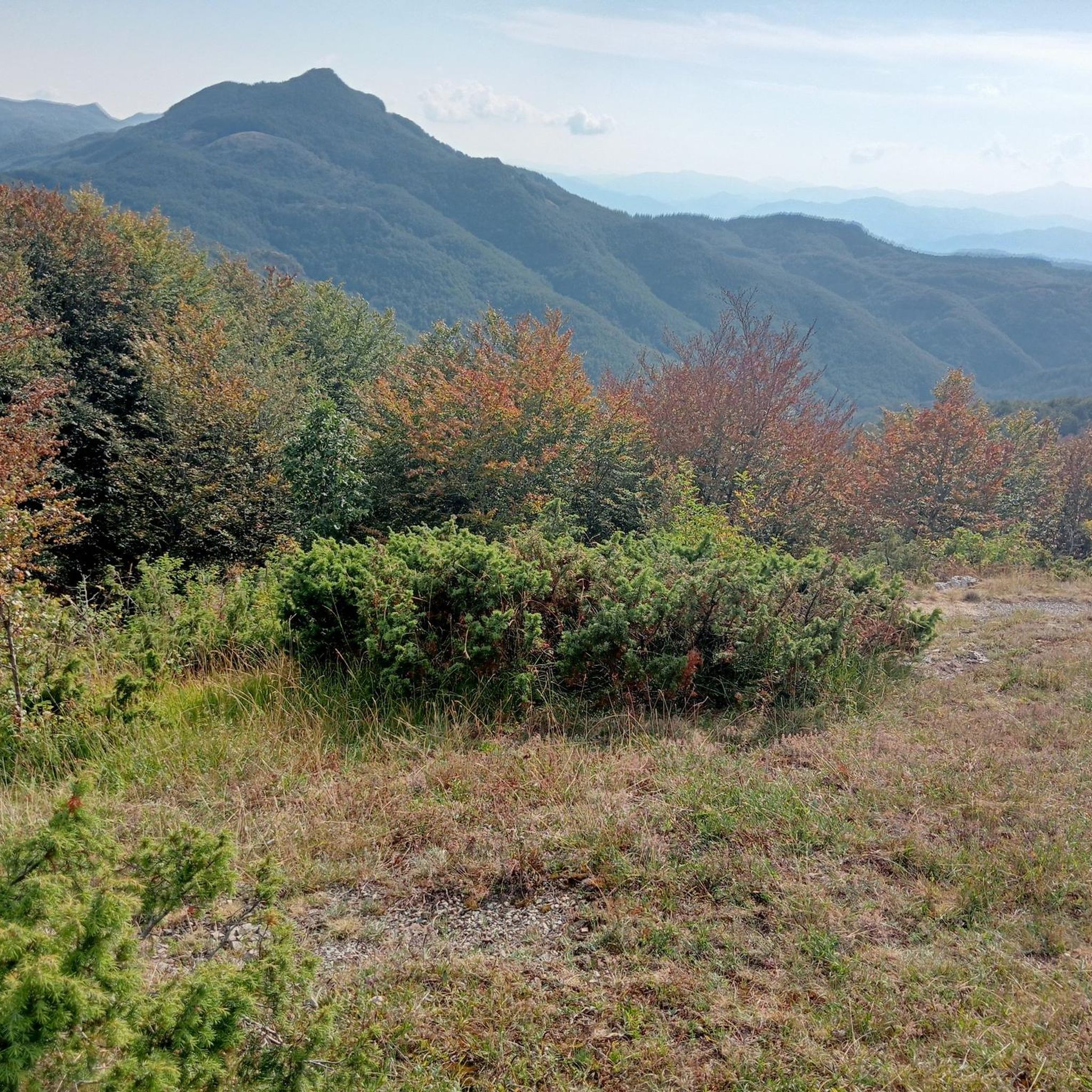
Il Rifugio V. e A. Nassano is a small alpine hut affiliated with the Italian Alpine Club, particularly the Voghera section. It is located in the mountain area of Capanne di Cosola, in the Apennines of the “Quattro Province”.
14
0
At this point, the valley shows all its splendor.
16
0
From here you can get everywhere!
0
0
Frequently Asked Questions
What kind of terrain can I expect when road cycling around Rovegno?
Road cycling around Rovegno, nestled in the Val Trebbia and Ligurian Apennines, offers a diverse range of terrain. You'll find both flatter sections suitable for more relaxed rides and challenging mountainous ascents with significant elevation gains. The region is characterized by its unspoiled natural beauty, varied forest heritage, and continuous changes in trees and undergrowth, making for engaging and scenic rides.
Are there routes suitable for experienced road cyclists seeking a challenge?
Yes, Rovegno is an excellent destination for experienced road cyclists. The area features numerous difficult routes with substantial elevation gains. For example, the View of Val d'Aveto – Passo della Scoglina loop from Canale is a challenging 75.3-mile (121.2 km) route with over 2,600 meters of elevation gain. Another demanding option is the Capanne di Cosola – Penice Pass (Bobbio) loop from Ottone, covering 94.5 miles (94.5 km) with similar elevation.
What natural features or landmarks can I see along the road cycling routes?
The Val Trebbia region around Rovegno is rich in natural beauty. You'll cycle through diverse forests, including ancient chestnut groves and oak forests. Notable natural landmarks nearby include Mount Antola, Monte Bue summit, and Lame Lake. These offer scenic viewpoints and opportunities to appreciate the local biodiversity.
What do other road cyclists say about the routes in Rovegno?
The road cycling routes in Rovegno are highly regarded by the komoot community, holding an impressive average rating of 4.9 stars from over 50 reviews. More than 1,000 road cyclists have explored the varied terrain using komoot, often praising the diverse landscapes of the Val Trebbia and the Ligurian Apennines.
Are there any routes that include multiple mountain passes?
Yes, several routes in the Rovegno area incorporate multiple mountain passes, providing sustained climbing and rewarding descents. A popular choice is the Passo della Scoglina – Passo della Forcella loop from Canale, a 39.9-mile (64.2 km) route that traverses two distinct passes, offering a significant challenge and panoramic views.
Can I find road cycling routes that explore the Val d'Aveto?
Absolutely. The Val d'Aveto is a prominent feature in many road cycling routes around Rovegno. For instance, the View of Val d'Aveto – Castello di Cariseto loop from Gorreto is a 34.8-mile (56.1 km) trail that leads through this scenic valley, offering beautiful vistas and a rewarding ride.
What is the best time of year for road cycling in Rovegno?
While specific seasonal data isn't provided, the Ligurian Apennines generally offer pleasant cycling conditions from spring through autumn. Spring brings blooming flora, and autumn showcases vibrant foliage. Summer can be warm, especially in lower elevations, but higher passes offer cooler temperatures. It's always advisable to check local weather forecasts before planning your ride.
Are there any routes that start from Gorreto?
Yes, you can find road cycling routes that begin in Gorreto. One such route is the View of Val d'Aveto – Castello di Cariseto loop from Gorreto, which is a 34.8-mile (56.1 km) trail that takes you through the picturesque Val d'Aveto.
How many road cycling routes are available around Rovegno?
There are over 30 road cycling routes available around Rovegno, catering to various skill levels. While there are no easy routes, you'll find a good mix of moderate and difficult options, with 11 moderate and 23 difficult routes to choose from.
Are there any routes that pass through Passo del Portello?
Yes, if you're looking to include Passo del Portello in your ride, consider the Passo del Portello – Passo della Scoglina loop from Cassingheno. This challenging route covers 77.8 miles (77.8 km) and features significant elevation changes as it traverses both Passo del Portello and Passo della Scoglina.
What kind of wildlife might I encounter while cycling in the Val Trebbia?
The Val Trebbia is rich in local biodiversity. While cycling, you might catch glimpses of wildlife such as squirrels, deer, and hares. The ancient chestnut groves also provide habitat for smaller creatures like dormice and nocturnal birds of prey, adding to the natural experience of your ride.
Most popular routes around Rovegno
Most popular attractions around Rovegno

Get inspired with the komoot mobile app


Explore more
Browse the best Road cycling routes in other regions.
