The 18 Most Amazing Peaks around Castiglione Chiavarese
Mountain peaks around Castiglione Chiavarese are situated in the Ligurian Apennines, offering access to various elevations and scenic hiking areas. This region provides panoramic views, historical sites, and diverse natural landscapes. The area features a range of peaks, from coastal elevations to higher summits, providing varied hiking experiences. Trails often traverse ancient paths and natural features, showcasing the region's environment.
Best mountain peaks around Castiglione Chiavarese
- The most popular mountain peaks is Monte Rossola Summit Cross, a summit that…
Last updated: July 7, 2026
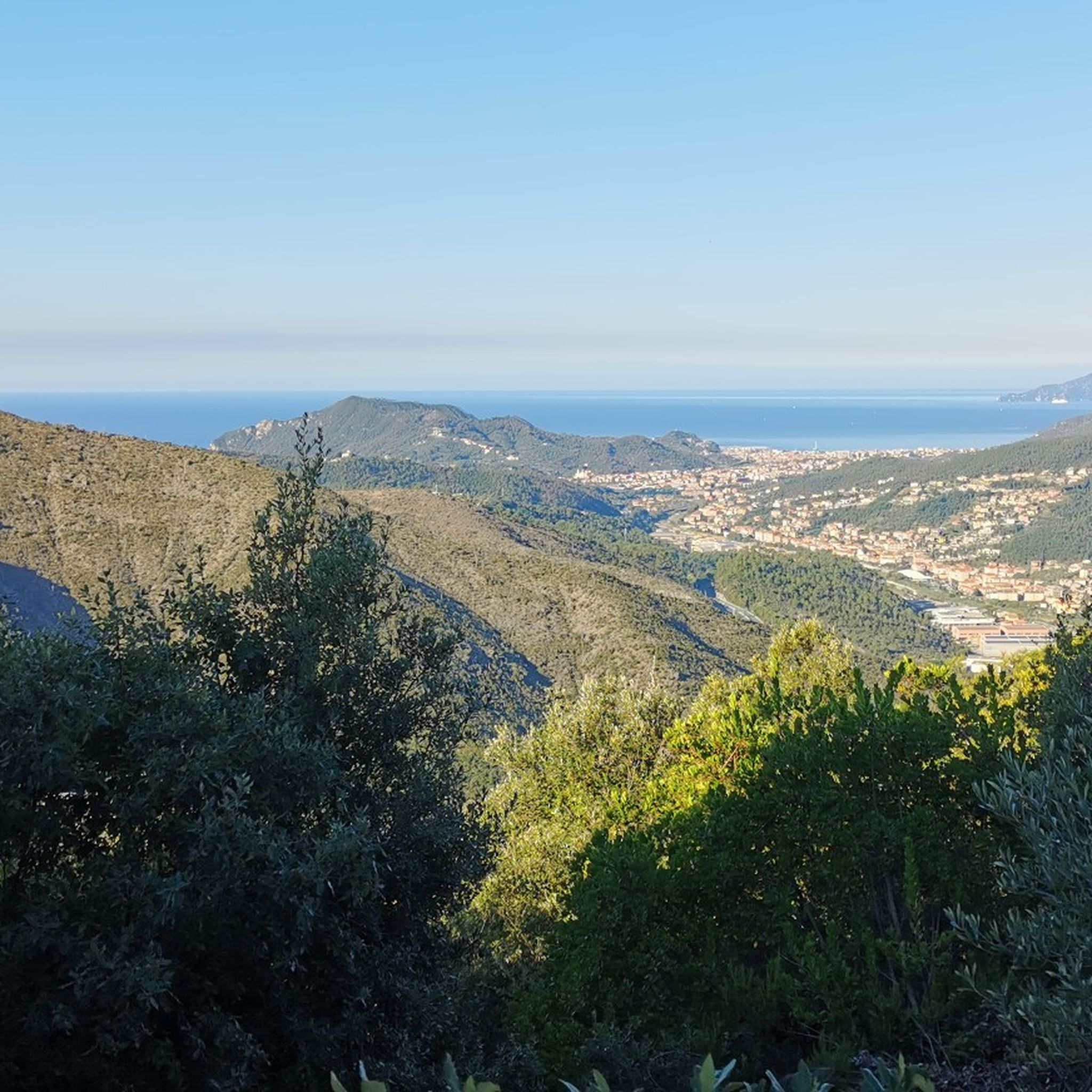
Panoramic view from the summit of Monte Costello
Highlight • Summit
Translated by Google •
Tip by

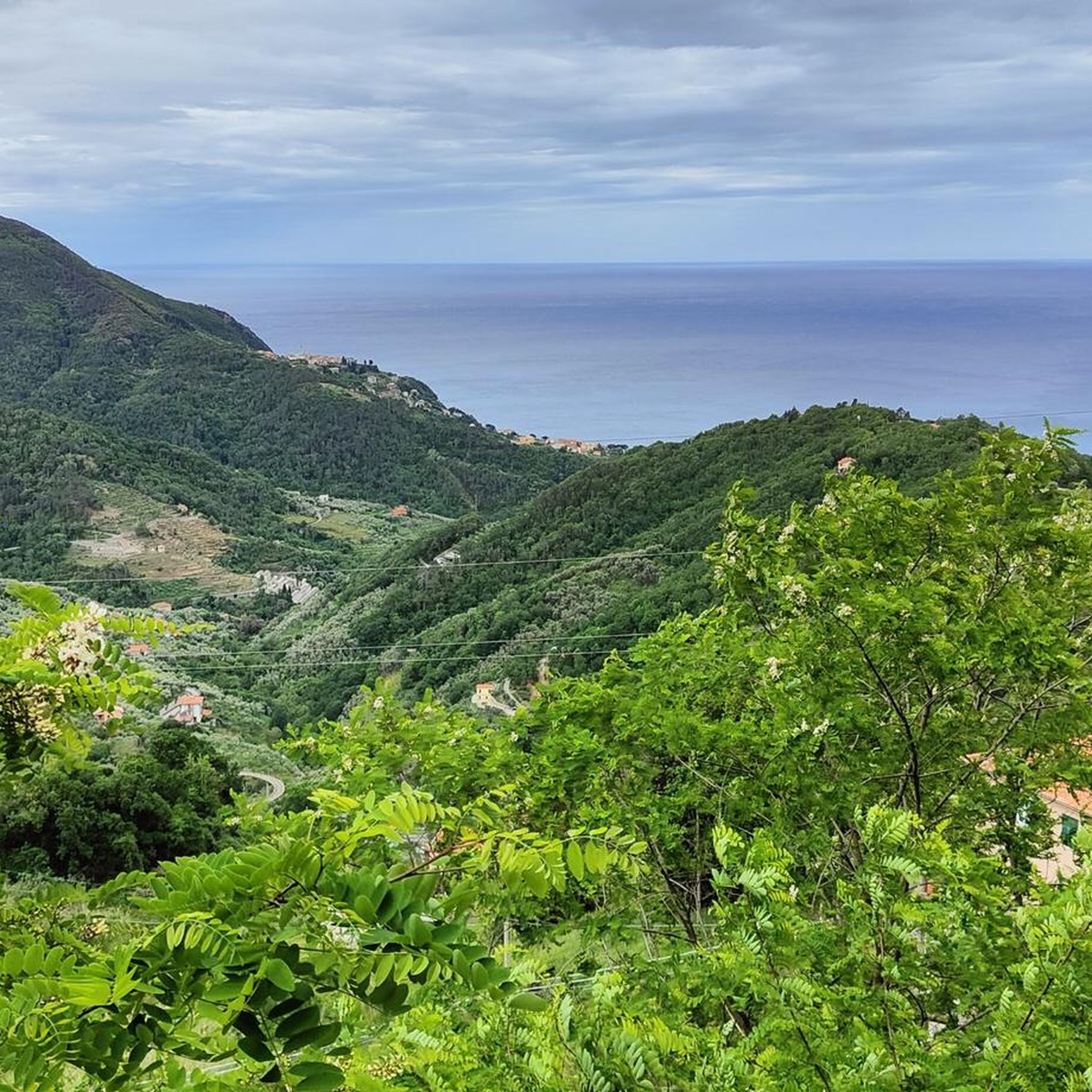
Monte Rossola Summit Cross
Highlight • Summit
Translated by Google •
Tip by

Sign up now to discover places like this
Get recommendations on the best single tracks, peaks, & plenty of other exciting outdoor places.
Sign up for free
Monte Rocchette (701 m)
Highlight • Summit
Translated by Google •
Tip by

Monte Treggin Summit
Highlight (Segment) • Summit
Translated by Google •
Tip by

Panoramic Ridge of Monte Le Rocchette
Highlight (Segment) • Viewpoint
Translated by Google •
Tip by

Sign up for free to discover even more peaks around Castiglione Chiavarese.
Sign up for free
Already have an account?
Start today with a free account
Your next adventure awaits.
Login or Signup
Tips from the Community

Above the municipality of Cogorno, in the metropolitan city of Genoa, walking on the ridge of Mount Le Rocchette is certainly one of the best experiences that those who walk in these areas can have. In ancient times, slate, a metamorphic rock of sedimentary origin, was extracted in these areas.
1
1

Climb to Treggin from Bargone, very steep, a few points where it flattens out slightly but in general there is a difference in altitude in a few km so it's a lot. Stretches of forest and otherwise, especially towards the top, fairly clean path, uphill you can follow it well (red X). Downhill, especially at the top, you can get a little lost, look for fairly frequent signs. Almost always rocky terrain, some beaten pieces in the woods. Area exposed to the sun but remains wet and humid in autumn and with previous days of rain.
1
0
Acronym track S2 feasible even by less experienced, maybe sometimes you go down. Rocks, hollows and some steep points, but also well passable areas. From Cima Capenardo instead of turning right, take the path on the left, after a while there is a crossroads on the right, from there it widens and goes down to Selva. Quite difficult and slippery uphill, it goes for the less experienced, better downhill.
0
0
Highest point in the Selva with panoramic views. Excellent area (cold and wind permitting) for a break or picnic.
0
0
Path that goes from Selva to Capenardo. For MTB: avoid uphill, the path starts off wide but gradually gets worse, you add rocks and other obstacles, it gets very narrow. Last piece forces you to carry the bike by hand (even with E-Bike). Downhill feasible paying attention to complicated points, carrying by hand if necessary.
0
0

excellent stopping point
0
0
Abandoned path completely blocked by fallen branches and trees
0
0

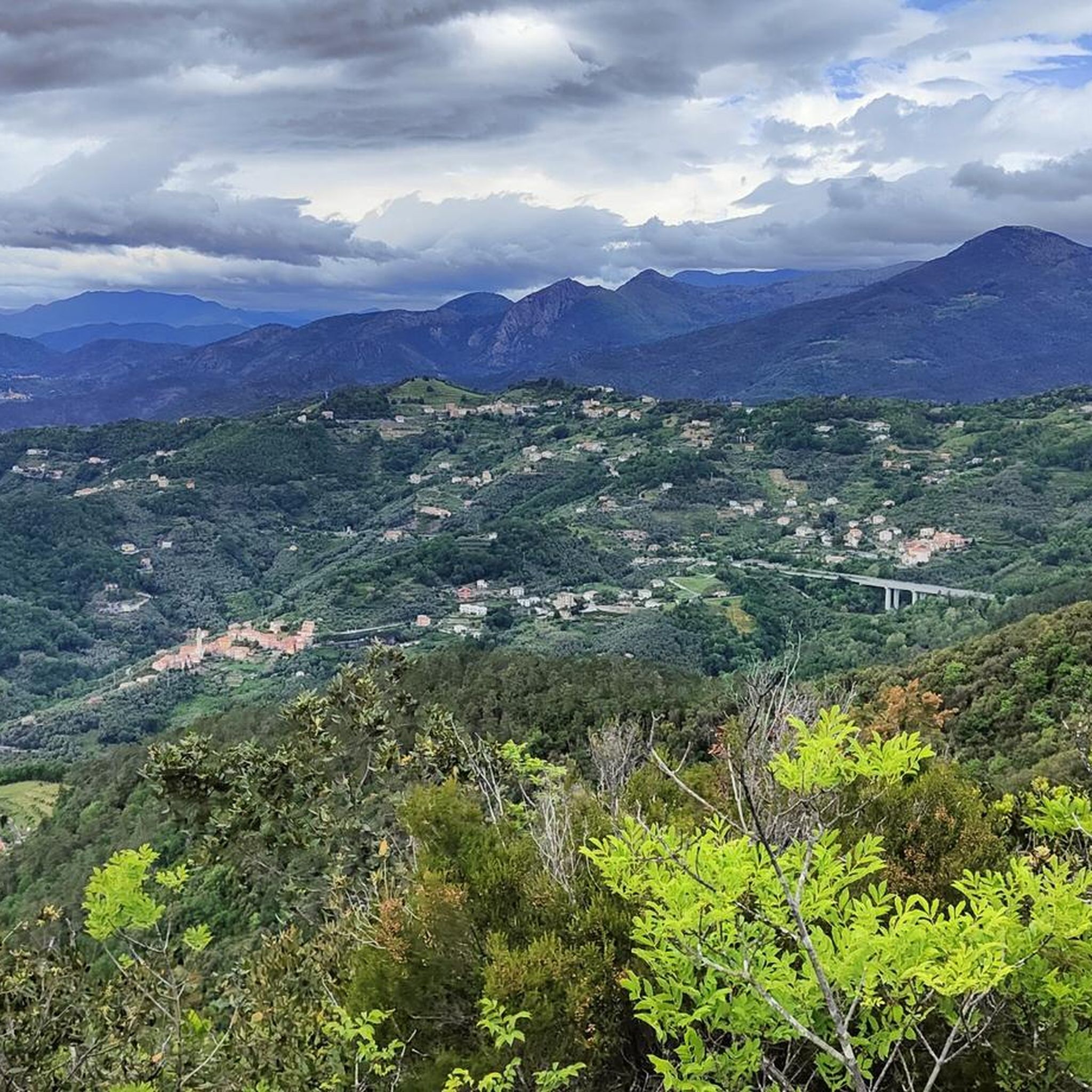
Monte Costello (498 m) is located behind Sestri Levante and constitutes an important relief on the ridge that descends from Monte Capenardo towards the sea, separating Val Gromolo from some minor valleys east of Lavagna. The top of Monte Costello offers splendid views of the Ligurian Sea and the promontory of Portofino.
1
1
Frequently Asked Questions
What are some of the most popular mountain peaks around Castiglione Chiavarese?
Among the most appreciated peaks are Monte Rossola Summit Cross, known for its steep ascent and views of Levanto and Bonassola. Another favorite is the Panoramic Ridge of Monte Le Rocchette, offering notable experiences for hikers above Cogorno. Monte Rocchette (701 m) is also popular, serving as a crossroads of ancient paths used for slate mining.
What kind of views can I expect from Monte Costello?
From Monte Costello, you can enjoy splendid views of the Ligurian Sea and the Portofino promontory. Located behind Sestri Levante, it offers a significant vantage point where the ridge descends towards the sea, separating the Gromolo Valley from other smaller valleys.
Are there any historical sites near the mountain peaks?
Yes, Monte San Nicolao is notable for its proximity to the archaeological area of S. Nicolao di Pietra Colice, which was formerly the Hospitale di San Nicolao. Additionally, Monte Rocchette (701 m) features paths that retrace ancient routes used for slate mining, preserving the region's industrial history.
What is the difficulty level for hiking Alpe di Maissana?
Alpe di Maissana is considered a challenging hike, suitable for experienced hikers. It is one of the higher peaks in the vicinity, and a recommended route from Colle di Velva follows the ridge between the Genoa and La Spezia provinces, offering extensive panoramic views.
What is unique about the Pietra di Vasca area?
The Pietra di Vasca area, including the Cresta Pietra di Vasca, is characterized by a striking rocky ridge. It presents a diverse hiking experience with a contrast between its humid, shady northern side and its arid southern side. A ring trail in the heart of Val Petronio passes through ancient chestnut groves and a beautiful holm oak wood.
Are there challenging mountain peaks for experienced hikers?
Yes, for experienced hikers, peaks like Alpe di Maissana offer challenging ascents with extensive views. Monte Treggin Summit also presents a challenging climb from Bargone, with a significant altitude difference over a few kilometers and often rocky terrain.
When is the best time to hike the mountains around Castiglione Chiavarese?
The mountains around Castiglione Chiavarese offer diverse experiences throughout the year. Spring and autumn generally provide the most pleasant weather for hiking, with milder temperatures and vibrant natural colors. Some trails, particularly those at higher elevations or with rocky terrain like Monte Treggin, can be wet and humid in autumn or after rain, so checking conditions is advisable.
What other outdoor activities can I do near these mountain peaks?
Beyond hiking, the area around Castiglione Chiavarese offers various outdoor activities. You can explore numerous road cycling routes, such as those leading to Bracco Pass, or enjoy running trails like the Fitness Area loop from Moneglia. For more details, you can check the Road Cycling Routes around Castiglione Chiavarese and Running Trails around Castiglione Chiavarese guides.
Are there specific hiking trails I can explore near the mountain peaks?
Absolutely. You can find a variety of hiking trails, including the Medieval trail from Castiglione Chiavarese to Sant'Antonino, a Ridge walk from Santuario di Nostra Signora della Guardia, and the Ancient pilgrimage trail from Monte Incisa to Hospitale di San Nicolao ruins. The Monte Pù Loop Trail is also a popular option. For more hiking ideas, refer to the Hiking around Castiglione Chiavarese guide.
Are there family-friendly mountain walks around Castiglione Chiavarese?
While specific 'family-friendly' labels aren't always present, many trails offer moderate difficulty, which can be suitable for families depending on their experience. The region's diverse trails, often passing through ancient paths and tranquil villages, provide opportunities for enjoyable walks. For specific routes, checking the difficulty grades in the Hiking around Castiglione Chiavarese guide can help you find suitable options.
What kind of terrain can I expect on the trails?
The terrain varies significantly across the region. You can expect everything from well-beaten paths through ancient chestnut groves and holm oak woods, as seen in the Pietra di Vasca area, to rocky and rugged sections, especially on steeper ascents like Monte Treggin. Some trails may also feature loose scree, particularly on coastal peaks like Monte Rossola.
Most popular routes around Castiglione Chiavarese
Most popular attractions around Castiglione Chiavarese

Get inspired with the komoot mobile app


Explore more
See even more amazing summits around Castiglione Chiavarese with these guides:
