The best walks and hikes around Steyregg
4.5
(3892)
36,104
hikers
93
hikes
Hiking around Steyregg offers a diverse landscape characterized by the Pfenningberg hill and proximity to the Danube River. The region features a mix of forested areas, open viewpoints, and riverside paths. Trails often lead to prominent points like the Pfenningberg Summit Cross, providing varied terrain for outdoor activities. This area provides accessible routes for different skill levels, from gentle riverside strolls to more challenging ascents.
Best hiking trails around Steyregg
- The most popular hiking route is Three Beeches Cross –…
Last updated: July 2, 2026
4.0
(39)
129
hikers
Moderate hike. Good fitness required. Easily-accessible paths. Suitable for all skill levels.
4.7
(38)
144
hikers
6.39km
01:49
150m
150m
Easy hike. Great for any fitness level. Easily-accessible paths. Suitable for all skill levels.

Sign up for free
4.7
(28)
102
hikers
Easy hike. Great for any fitness level. Easily-accessible paths. Suitable for all skill levels.
4.8
(19)
117
hikers
Moderate hike. Good fitness required. Easily-accessible paths. Suitable for all skill levels.
4.5
(6)
78
hikers
Easy hike. Great for any fitness level. Easily-accessible paths. Suitable for all skill levels.
Get access to more routes and recommendations from other explorers.
Sign up for free
Already have an account?
Our route recommendations are based on thousands of hikes, rides, and runs completed by other people on komoot.
Start today with a free account
Your next adventure awaits.
Login or Signup
Popular around Steyregg



Tips from the Community

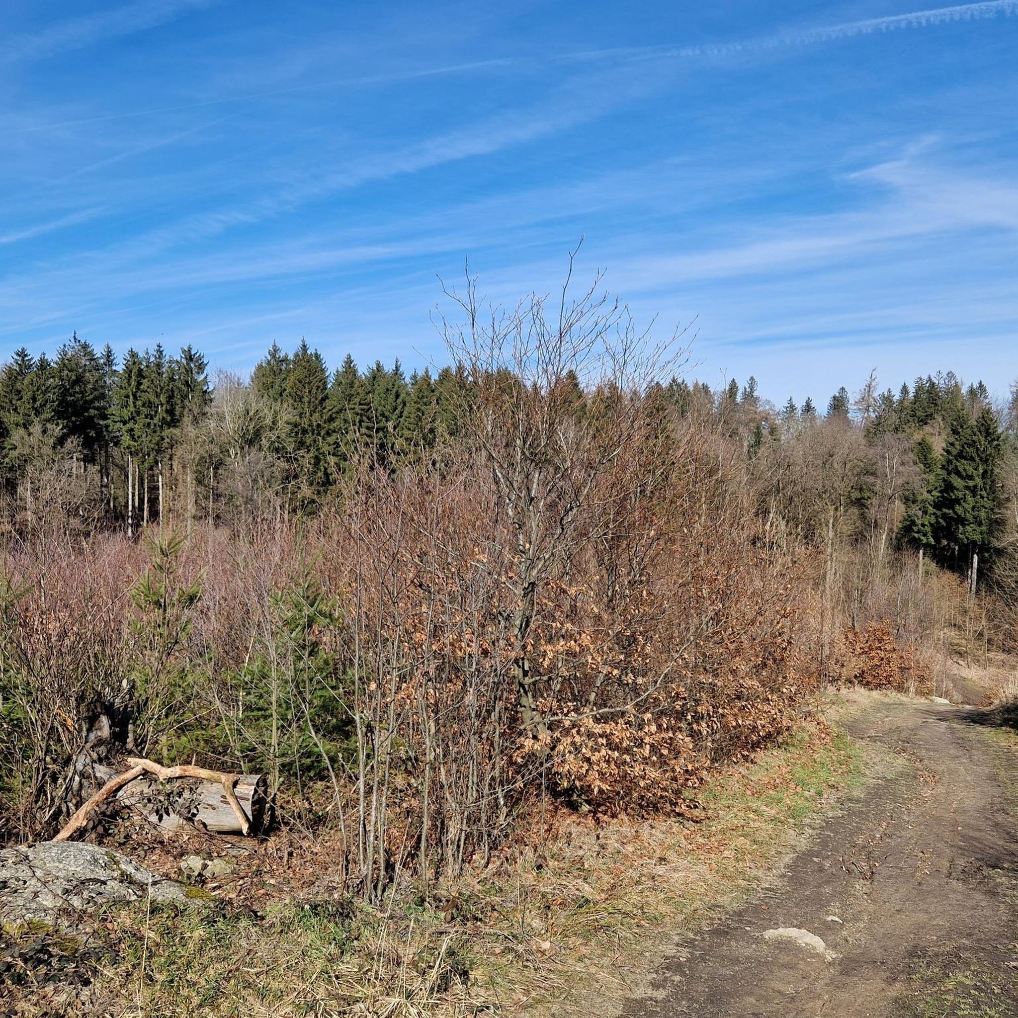
A summit with no view. The summit cross had fallen over during our visit.
0
0

Important information: Due to its poor data management, Komoot contains numerous inaccuracies that are unfortunately not updated by the site operators, Komoot. For accurate data and current trail closures, please visit our dedicated website: www.uppertrails.at The routing function on Komoot also provides numerous inaccuracies and trail closures. As the trail operators, we strongly recommend deleting this app if you wish to mountain bike legally. There are several reputable products and portals available that you can use for your tour planning (Brouter, Trailforks, etc.). Best regards, your Trail Team
1
0

A short walk without difficulty for everyone
0
0
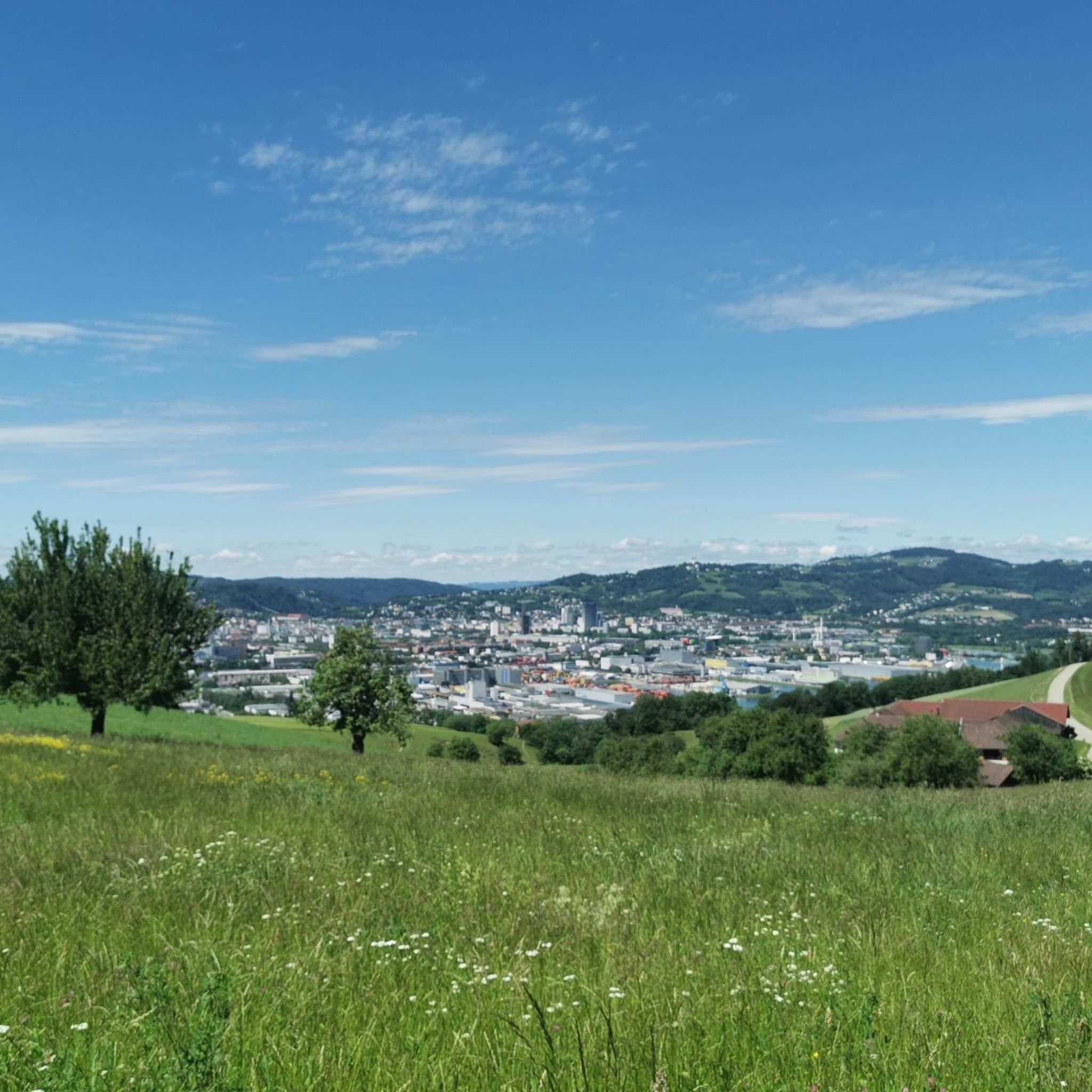
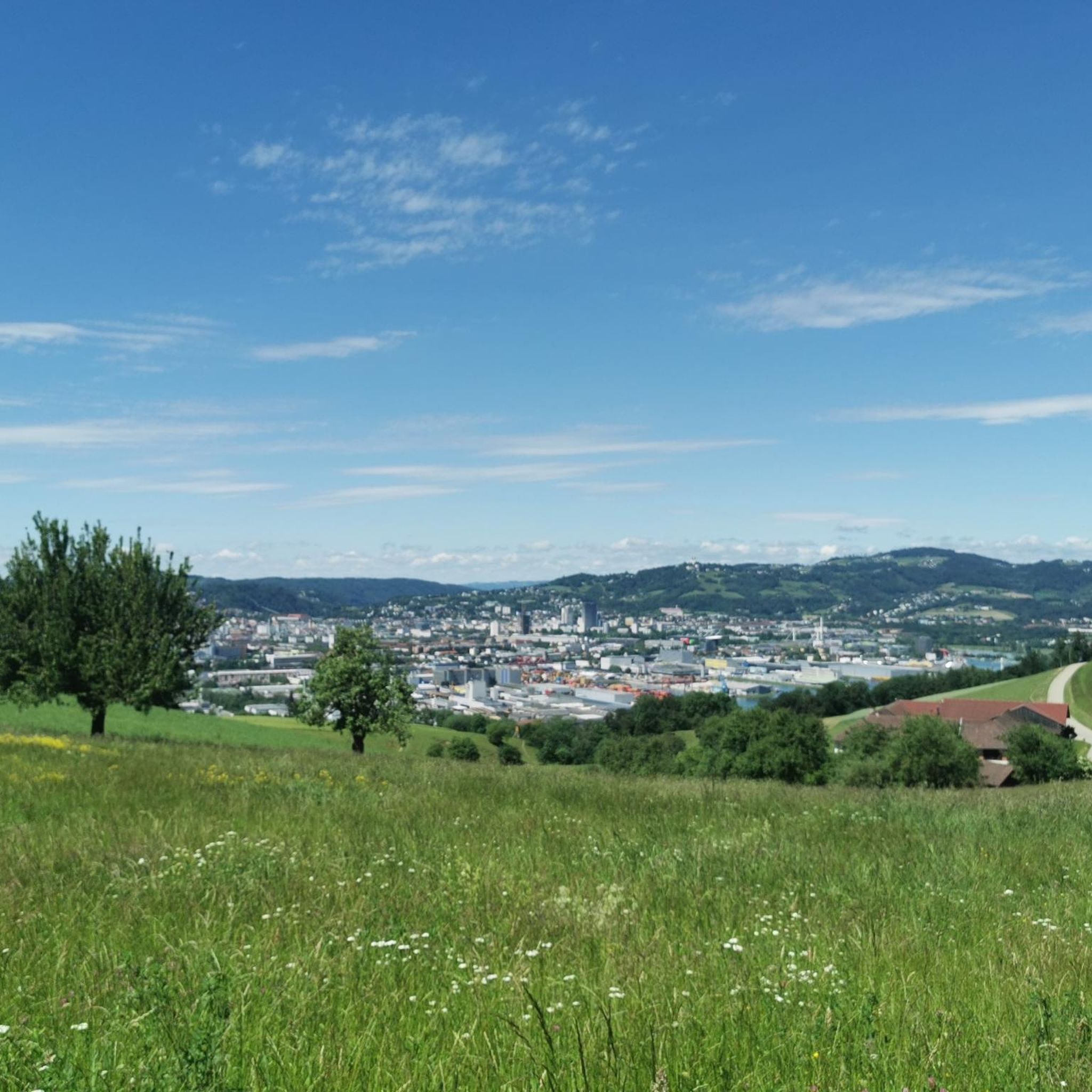
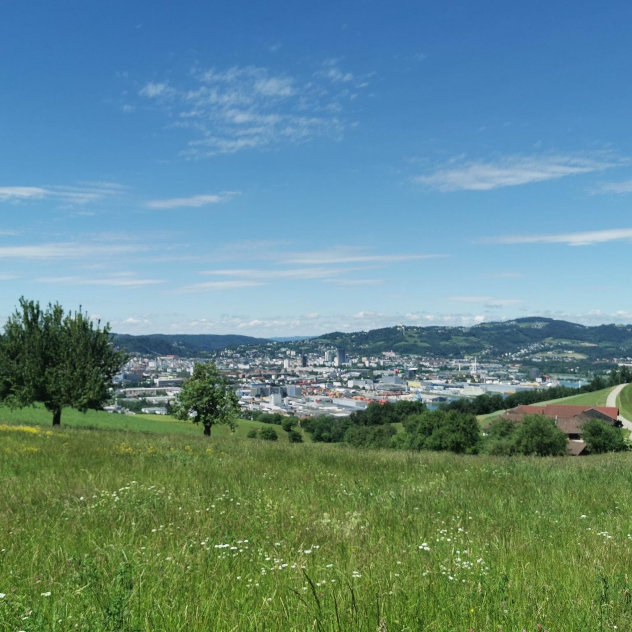
When the weather is nice, you have a great view of Linz, Steyregg and even the Alps.
0
1

A beautiful place for breakfast, a snack, dinner, or simply to enjoy. A stunning view of half of Upper Austria...
0
1

The mouflon herd inhabits the pulpit.
1
0
You can also get here by bike.
0
0
Frequently Asked Questions
How many hiking trails are available around Steyregg?
There are over 90 hiking trails around Steyregg, offering a wide variety of options. These include 43 easy routes, 45 moderate trails, and 5 more challenging hikes, ensuring there's something for every skill level.
Are there any easy or beginner-friendly hikes in Steyregg?
Yes, Steyregg offers numerous easy hikes perfect for beginners or those seeking a relaxed stroll. An excellent option is the View of Linz – Pfenningberg Summit Cross loop from Gasthaus Daxleitner, an easy 4.0-mile (6.4 km) path that provides scenic views without significant difficulty.
What are the options for circular walks in the Steyregg area?
Many trails around Steyregg are designed as circular routes, allowing you to start and end at the same point. For example, the Three Beeches Cross – Pfenningberg Summit Cross loop from Johannes Kepler University Linz is a popular moderate circular trail connecting key landmarks.
Are there any dog-friendly trails around Steyregg?
The natural landscapes around Steyregg, particularly the forested areas and riverside paths, are generally welcoming for dogs. Many local trails, including those on the Pfenningberg, are suitable for walks with your canine companion, provided they are kept on a leash where required.
Can I find family-friendly hikes suitable for children in Steyregg?
Absolutely. Steyregg has several routes ideal for families. The easier trails, especially those along the Danube or shorter loops on the Pfenningberg, are great for children. The Pfenningberg Summit Cross – Three Beeches Cross loop from Glider airfield Linz-East is a manageable 3.0-mile (4.9 km) route through varied terrain that families often enjoy.
What kind of viewpoints can I expect on hikes near Steyregg?
Hikes around Steyregg offer diverse viewpoints. The Pfenningberg hill is known for panoramic vistas, including views of Linz and the surrounding countryside. Trails along the Danube also provide scenic river views. The View of Linz – Pfenningberg Summit Cross loop from Gasthaus Daxleitner is specifically highlighted for its scenic views of Linz.
Are there any places to eat or cafes along the hiking routes?
Yes, you can find places to stop for refreshments. The area around Steyregg features several huts and restaurants. For instance, you might encounter places like Zur Gis Inn or Pelmbergstüberl, which are popular spots for hikers to refuel.
What are some interesting natural attractions or landmarks to see while hiking?
Beyond the scenic trails, you can explore several natural and man-made attractions. The region features beautiful lakes like Pichlinger Lake and Pleschinger Lake. The Pfenningberg Summit Cross itself is a notable landmark, and you might also come across the Magerbach Fish Ladder near the Danube.
How accessible are the hiking trails in Steyregg by public transport?
Steyregg is well-connected, and some trailheads are accessible via public transport, especially from nearby Linz. For example, the Three Beeches Cross – Pfenningberg Summit Cross loop starts near Johannes Kepler University Linz, which is reachable by public transport, making it convenient for hikers without a car.
Where can I park when hiking in Steyregg?
Parking is generally available at various starting points for hikes around Steyregg. Many routes, especially those originating from villages or popular recreational areas like Gasthaus Daxleitner or Glider airfield Linz-East, offer designated parking facilities for hikers.
What do other hikers enjoy most about the trails in Steyregg?
The trails in Steyregg are highly rated by the komoot community, with an average score of 4.6 stars. Reviewers often praise the diverse landscape, the well-maintained paths, and the beautiful views of Linz and the Danube. The mix of forested areas and open viewpoints is frequently highlighted as a favorite aspect.
Are there any longer or more challenging hikes for experienced hikers?
Yes, for those seeking a greater challenge, Steyregg offers several moderate to difficult routes. The Pfenningberg Summit Cross – Three Beeches Cross loop from Steyregg is a longer moderate option at 13.2 miles (21.2 km) with significant elevation gain, providing a more demanding experience.
Most popular routes around Steyregg
Most popular attractions around Steyregg

Get inspired with the komoot mobile app


Explore more
Browse the best Hikes in other regions.
