The best running trails around Ronco Scrivia
4.1
(9)
616
runners
14
runs
Jogging around Ronco Scrivia offers diverse landscapes within the upper Scrivia valley, characterized by green hills and Apennine mountains. The region features classic Apennine scenery, with the central Scrivia river valley and extensive forests providing a varied terrain. Trails cater to different fitness levels, from gentle paths to more strenuous routes with significant elevation changes. This area provides opportunities for active pursuits amidst natural surroundings.
Best jogging routes around Ronco Scrivia
- The most popular jogging route is From Ronco Scrivia…
Last updated: June 27, 2026
27
runners
Hard run. Very good fitness required. Sure-footedness, sturdy shoes and alpine experience required.
65
runners
17.0km
02:23
650m
650m
Hard run. Very good fitness required. Sure-footedness, sturdy shoes and alpine experience required.

Sign up for free
12
runners
16.4km
01:48
320m
320m
Hard run. Very good fitness required. Mostly paved surfaces. Suitable for all skill levels.
12
runners
9.04km
01:09
310m
310m
Hard run. Very good fitness required. Mostly paved surfaces. Suitable for all skill levels.
10
runners
Hard run. Good fitness required. Sure-footedness, sturdy shoes and alpine experience required.
Get access to more routes and recommendations from other explorers.
Sign up for free
Already have an account?
Our route recommendations are based on thousands of hikes, rides, and runs completed by other people on komoot.
Start today with a free account
Your next adventure awaits.
Login or Signup
Tips from the Community

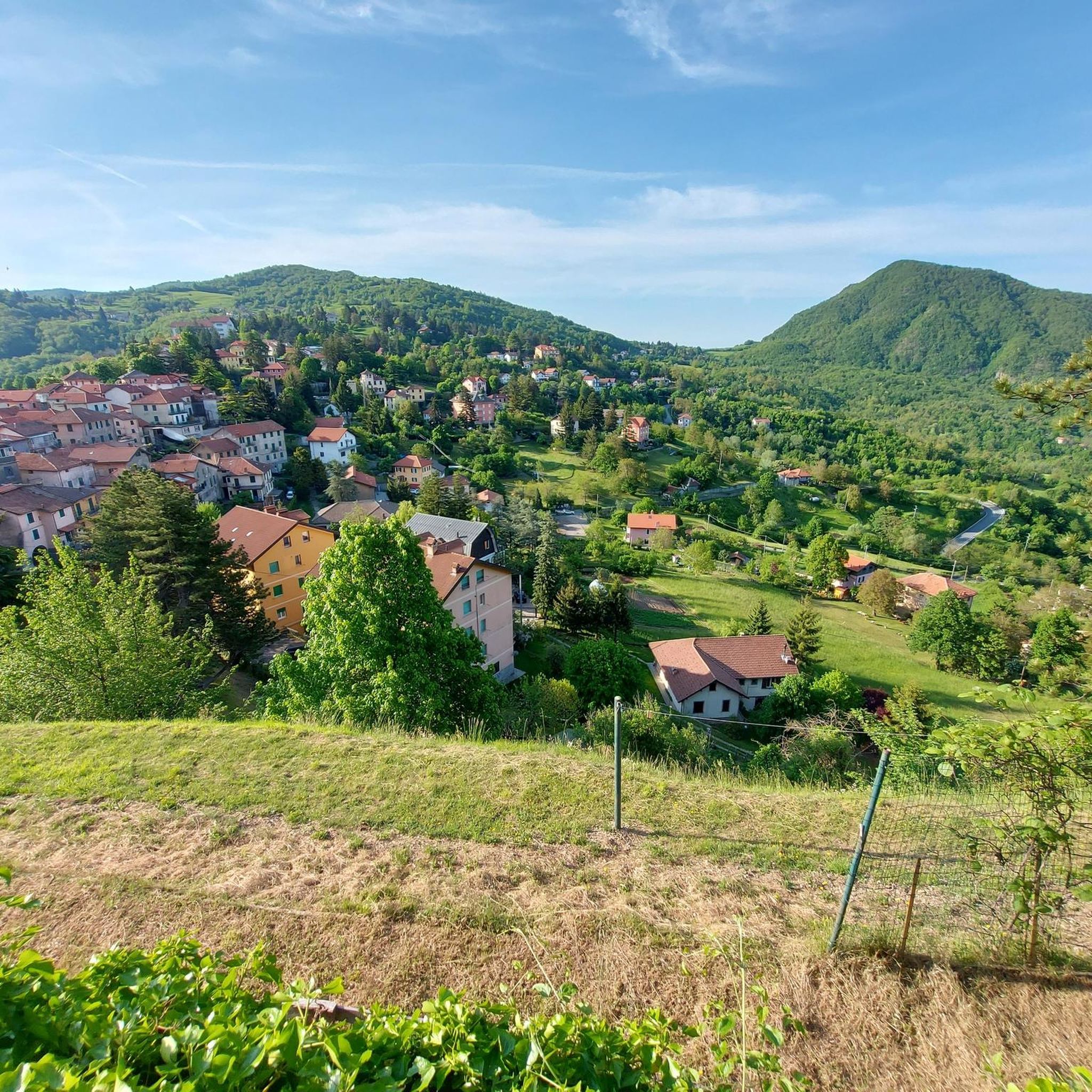
Beautiful town kept in excellent condition.
14
0
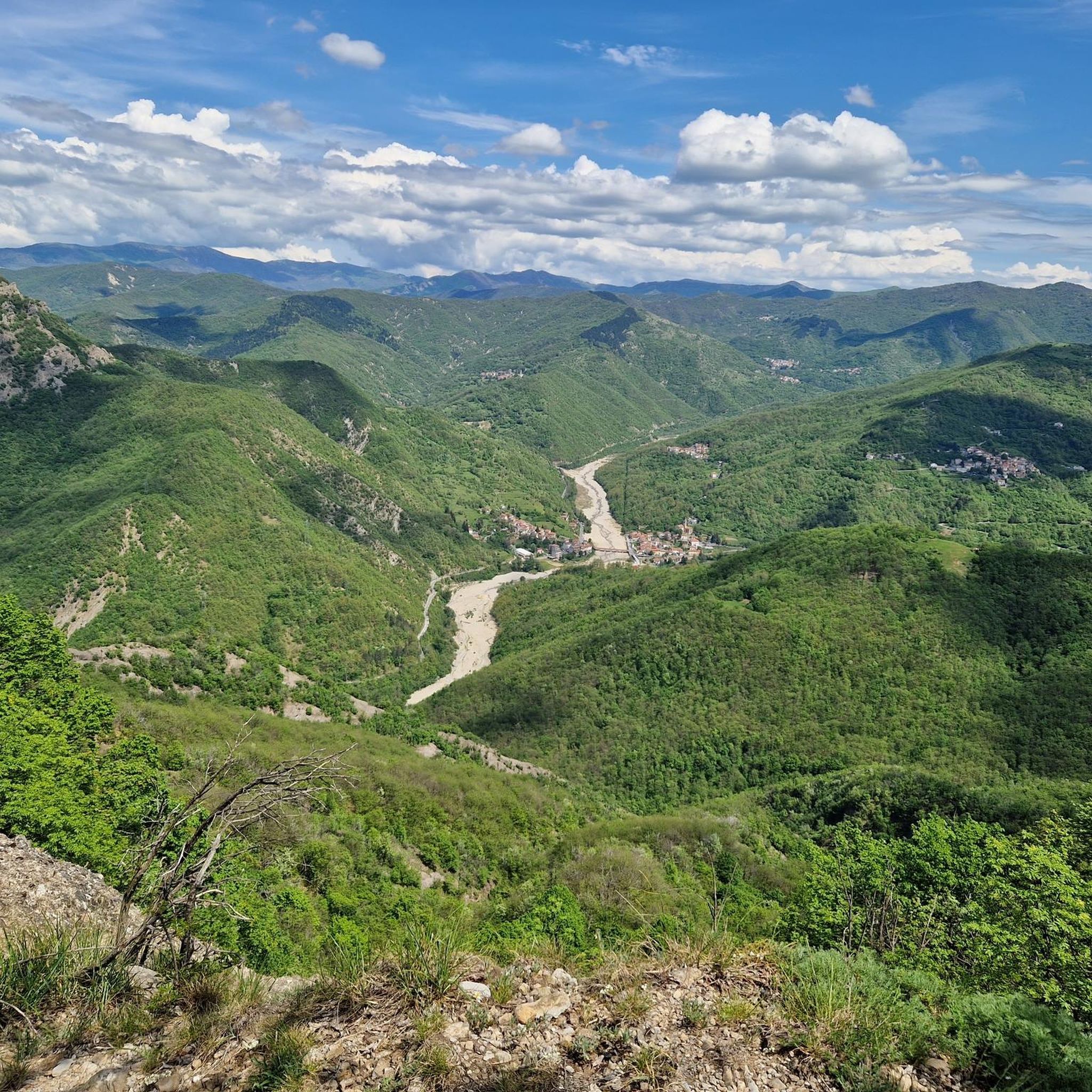
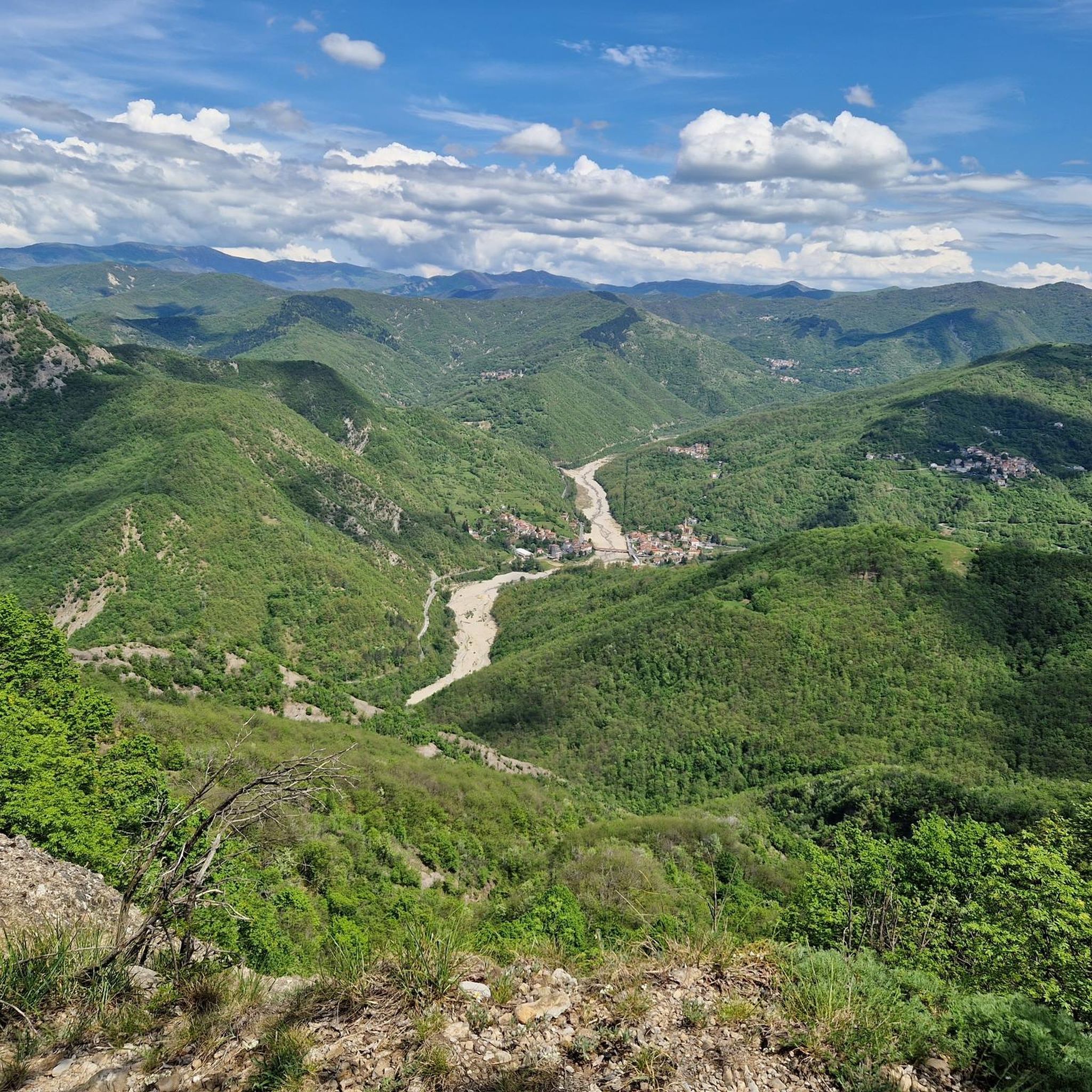
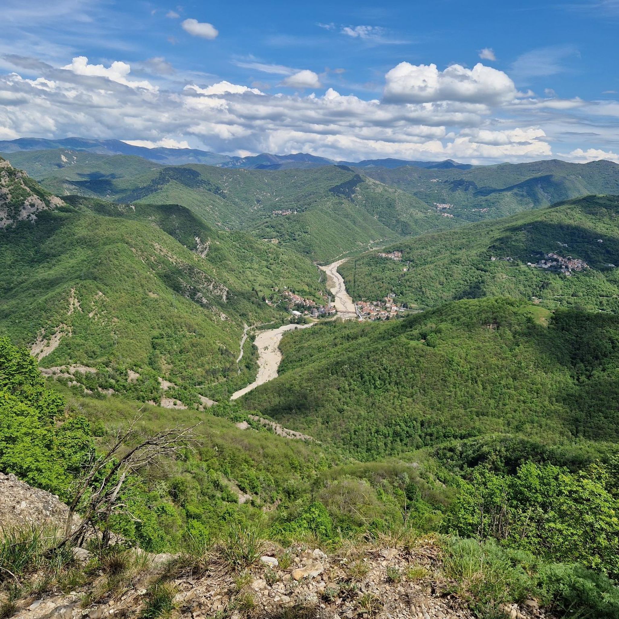
Viewpoint on the Scrivia river.
19
0

Ronco Scrivia is a Ligurian municipality located in the upper Scrivia valley, north of Genoa. It is entirely included in the territory of the Antola Park.
3
0
Monte Reale is a small unmanaged refuge at an altitude of 902m, in the municipality of Ronco Scrivia and nestled in the Antola Park. Absolutely worth a stop.
1
0
Ronco Scrivia is a Ligurian municipality located in the upper Scrivia valley, north of Genoa. It is entirely included in the territory of the Antola Park.
1
0

The first Big Bench in the Scrivia Valley was inaugurated in Ronco Scrivia on May 22, 2021. It is the 131st. From there you can see the perched houses of the small hamlets, the Municipality in the valley, the small church located on the nearby Monte Alpe and, further away as far as the eye can see, Monte Fasce
0
0
The chapel, dedicated to the Madonna della Guardia, was built in 1874 by Antonio and Giovanni Balbi, Benedetto's sons, on land that belonged to the Argenti family, the largest landowners in the hamlet of Tana d'Orso. The two Balbis, farmers originally from the area and who emigrated to Argentina, built the small chapel as thanks for having escaped a storm during the journey back home and for the small fortune earned over the years abroad
0
0
Frequently Asked Questions
How many running routes are available in Ronco Scrivia?
Ronco Scrivia offers a good selection of running routes, with over 15 trails available for you to explore. These routes cater to various fitness levels, from moderate paths to more challenging ascents.
Are there any easy or beginner-friendly running paths in Ronco Scrivia?
Yes, Ronco Scrivia has several routes suitable for beginners or those looking for an easier run. There are at least 3 easy routes and 2 moderate routes. For example, the Ronco Scrivia Stone Bridge – Ronco Scrivia Church loop from Ronco Scrivia is a moderate 5.5-mile path with a relatively flat profile, making it suitable for a steady run.
What kind of natural features can I expect to see while jogging in Ronco Scrivia?
The Ronco Scrivia area, nestled within the Antola Park, boasts classic Apennine scenery. You'll encounter diverse landscapes, including mountains offering panoramic views, and the central Scrivia river valley. Notable natural features include the unique 'La Carega do Diao' (Devil's Chair) rock formation and the expansive views from summits like Monte Figne.
Are there any family-friendly running routes or trails suitable for children?
Many trails in Ronco Scrivia are suitable for various fitness levels. The path to Monte Reale, for instance, is considered easy and suitable for all, including children, making it a great option for a family outing. While specific 'family-friendly' running routes aren't explicitly detailed, the region's accessible trails provide options for different abilities.
Can I find circular running routes in Ronco Scrivia?
Absolutely. Many of the running routes in Ronco Scrivia are designed as loops, allowing you to start and finish in the same location. Popular options include the From Ronco Scrivia to Rifugio Monte Reale – loop run in the Parco Regionale Naturale dell'Antola and the Monte Reale loop from Ronco Scrivia.
What do other runners think about the jogging routes in Ronco Scrivia?
The running routes in Ronco Scrivia are highly regarded by the komoot community, holding an average rating of 3.8 stars from over 9 reviews. More than 600 runners have used komoot to explore the varied terrain, often praising the diverse landscapes and the opportunities for challenging ascents with rewarding views.
Are there any historical landmarks or points of interest along the running trails?
Yes, the region offers several interesting landmarks. You can discover the dramatic Castello della Pietra, a castle overlooking the Vobbia gorge. Other notable points include various summits like Monte Figne, offering panoramic views, and Mount Tobbio.
How accessible are the running routes by public transport in Ronco Scrivia?
Many routes in Ronco Scrivia are accessible by public transport. For example, some trails, like the scenic journey to Rocche del Reopasso, can be started directly from the FS train station square, providing convenient access for runners arriving by train.
What are some of the best viewpoints or panoramic spots on the running trails?
Ronco Scrivia's mountainous terrain offers numerous stunning viewpoints. The summit of Monte Reale (920m) provides expansive views, potentially reaching the Alps on clear days. Similarly, Monte Figne (1172m) offers a spectacular panorama encompassing Monte Tobbio, the Padana plain, and the Mediterranean Sea.
Are there any challenging running routes for experienced runners?
Yes, Ronco Scrivia is well-suited for experienced runners looking for a challenge. The area features a significant number of difficult routes, with 11 out of 16 routes classified as difficult. These often involve substantial elevation gains, such as the Monte Reale Hut – Ronco Scrivia loop from Ronco Scrivia, which covers over 18 miles with considerable ascent.
What is the typical elevation gain on running routes in Ronco Scrivia?
The elevation gain varies significantly across the routes. While some moderate paths have minimal elevation, many of the more challenging trails feature substantial climbs. For instance, the From Ronco Scrivia to Rifugio Monte Reale – loop run involves an ascent of over 560 meters, and longer routes can exceed 1500 meters of elevation gain.
Most popular attractions around Ronco Scrivia

Get inspired with the komoot mobile app


Explore more
Browse the best Running Trails & Routes in other regions.
