The best road cycling routes around Massa Fermana
4.3
(71)
2,275
riders
102
rides
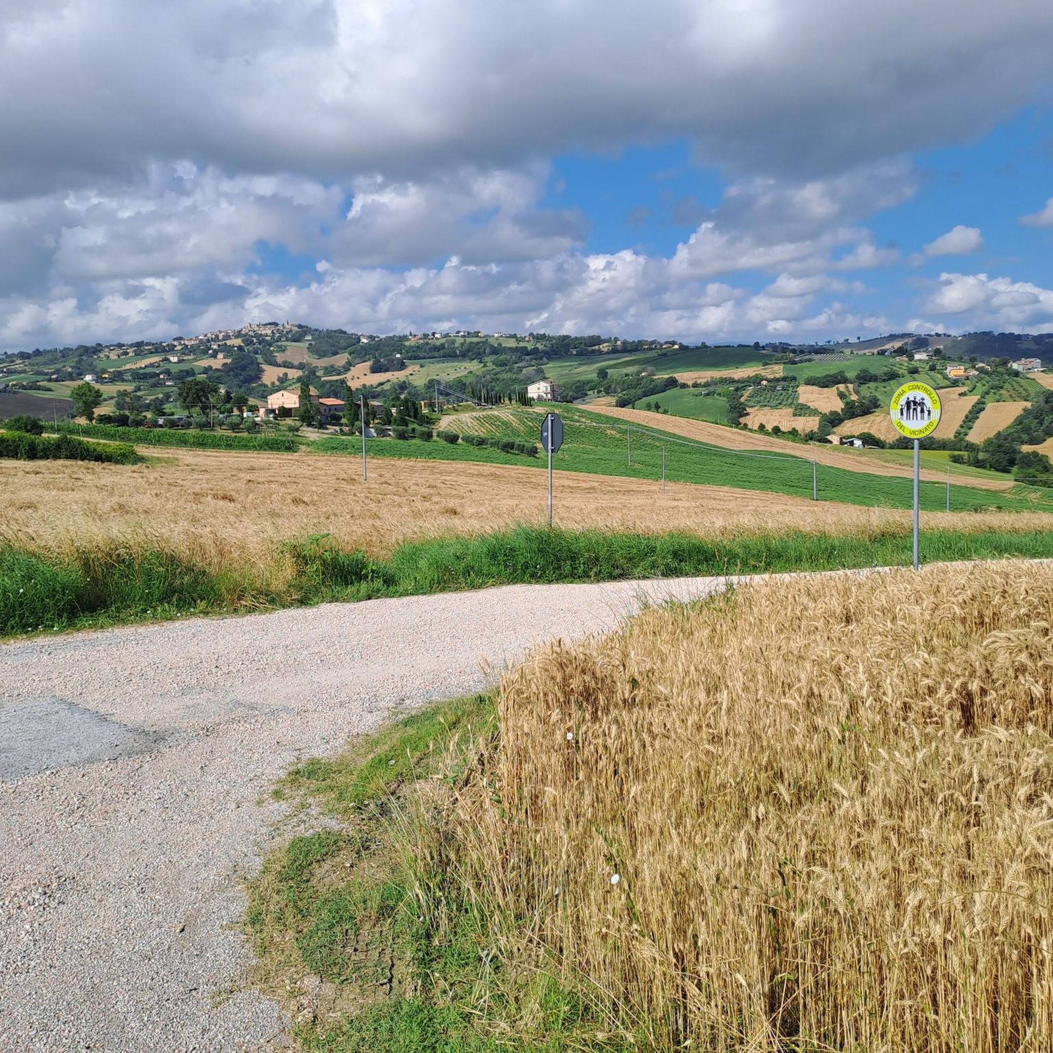
Road cycling routes around Massa Fermana are set within a hilly landscape, positioned on a verdant hill at 340 meters above sea level. The region is characterized by varied inclines and descents, situated between the Ete Morto river and the Rio Tarucchio. This location in the Fermano hinterland provides access to diverse environments, from green hills to historic hamlets, offering varied terrain for road cyclists.
Best road cycling routes around Massa Fermana
- The most popular road cycling route is Tolentino…
Last updated: July 10, 2026
5.0
(1)
53
riders
Moderate road ride. Good fitness required. Mostly well-paved surfaces and easy to ride.
1.0
(1)
17
riders
37.3km
02:01
740m
740m
Moderate road ride. Good fitness required. Mostly well-paved surfaces and easy to ride.

Sign up for free
23
riders
67.5km
03:31
1,190m
1,190m
Hard road ride. Very good fitness required. Mostly well-paved surfaces and easy to ride.
1.0
(1)
17
riders
40.5km
02:04
680m
680m
Moderate road ride. Good fitness required. Mostly well-paved surfaces and easy to ride.
8
riders
30.6km
01:30
430m
430m
Moderate road ride. Good fitness required. Mostly well-paved surfaces and easy to ride.
Get access to more routes and recommendations from other explorers.
Sign up for free
Already have an account?
Our route recommendations are based on thousands of hikes, rides, and runs completed by other people on komoot.
Start today with a free account
Your next adventure awaits.
Login or Signup


Tips from the Community

Panoramic point towards the southern coast and towards the Sibillini Mountains, a guaranteed spectacle on a clear day after the first snowfalls
0
0

Wonderful life in the Sibillini Mountains and the Gran Sasso
0
0

City of Monte Urano – The name Monte Urano derives from the ancient toponym Monteriano, attested in Farfa documents from the 11th century and in those of the bishop of Fermo from the 12th century: the territory is in fact indicated among the properties lost by the imperial Abbey of Farfa and passed to the bishop of Fermo who assigned them to the Monastery of San Savino on the Colle Vìssiano. Continue: https://www.seremailragno.com/citta-di-monte-urano-storia/
1
0

Direct water from Tennacola very good Trust me ..
0
0


Drinking fountain with fresh water.
6
0

Frequently Asked Questions
How many road cycling routes are available around Massa Fermana?
There are over 100 road cycling routes available around Massa Fermana, catering to various skill levels. You'll find a good mix of moderate and difficult trails to explore the region's diverse landscapes.
What kind of terrain can I expect when road cycling in Massa Fermana?
Massa Fermana is nestled on a verdant hill at 340 meters above sea level, offering a landscape characterized by varied inclines and descents. You can expect rolling hills, river valleys, and routes that traverse between the Ete Morto river and the Rio Tarucchio, providing a dynamic and engaging cycling experience.
What is the best time of year for road cycling in Massa Fermana?
The region's climate generally makes spring and autumn ideal for road cycling, offering pleasant temperatures and lush scenery. These seasons avoid the peak heat of summer and the colder, potentially wetter conditions of winter, providing comfortable riding conditions.
Are there routes suitable for beginners or less experienced road cyclists?
Yes, Massa Fermana offers several routes suitable for beginners or those looking for an easier ride. There are 4 easy routes and 55 moderate routes, such as the Historic Center of Servigliano loop from Monte Vidon Corrado, which covers 32.9 km with moderate elevation changes.
Are there challenging road cycling routes for experienced riders?
Absolutely. For experienced riders seeking a challenge, there are 46 difficult routes available. A notable option is the Drinking water fountain – View of Penna San Giovanni loop from Loro Piceno, a demanding 60.3 km path featuring significant elevation gain and panoramic views.
What do other cyclists say about the road cycling routes in Massa Fermana?
The road cycling routes around Massa Fermana are highly rated by the komoot community, with an average score of 4.2 stars from over 40 reviews. Cyclists often praise the varied terrain, breathtaking scenery, and the tranquility of the green hills and historic hamlets.
Are there scenic viewpoints or landmarks to see along the road cycling routes?
Yes, the region offers numerous scenic viewpoints and historical landmarks. You can cycle past sites like the Historic Center of Servigliano or the Rocca di Urbisaglia. The routes often provide views of the Fermano Hills and the broader Marche region's intact natural territory.
Can I combine my road cycling trip with cultural or historical exploration?
Massa Fermana and its surroundings are rich in culture and history. The town itself has a historic center with ancient walls, and the region is home to attractions like the Abbadia di Fiastra Abbey and Nature Reserve. The presence of a 'Museo della bicicletta' in Massa Fermana also highlights the local connection to cycling history.
Are there family-friendly road cycling options in Massa Fermana?
While many routes are designed for road cyclists, some moderate trails with less intense elevation changes can be suitable for families with older children or those accustomed to road cycling. Always check the route's difficulty and elevation profile to ensure it matches your family's capabilities.
Are there long-distance road cycling routes available?
Yes, for those looking for longer rides, routes like the Abbazia di San Claudio – View of the Fermano Hills loop from Loro Piceno cover over 70 km, offering extended exploration of the region's diverse landscapes and historical sites.
Are there any circular road cycling routes in the area?
Many of the road cycling routes around Massa Fermana are designed as loops, allowing you to start and finish in the same location. Examples include the Tolentino – Drinking water fountain loop from Loro Piceno and the Drinking water fountain – Tolentino loop from San Martino.
Most popular attractions around Massa Fermana

Get inspired with the komoot mobile app


Explore more
Browse the best Road cycling routes in other regions.
