The best walks and hikes around Montegranaro
4.0
(36)
616
hikers
48
hikes
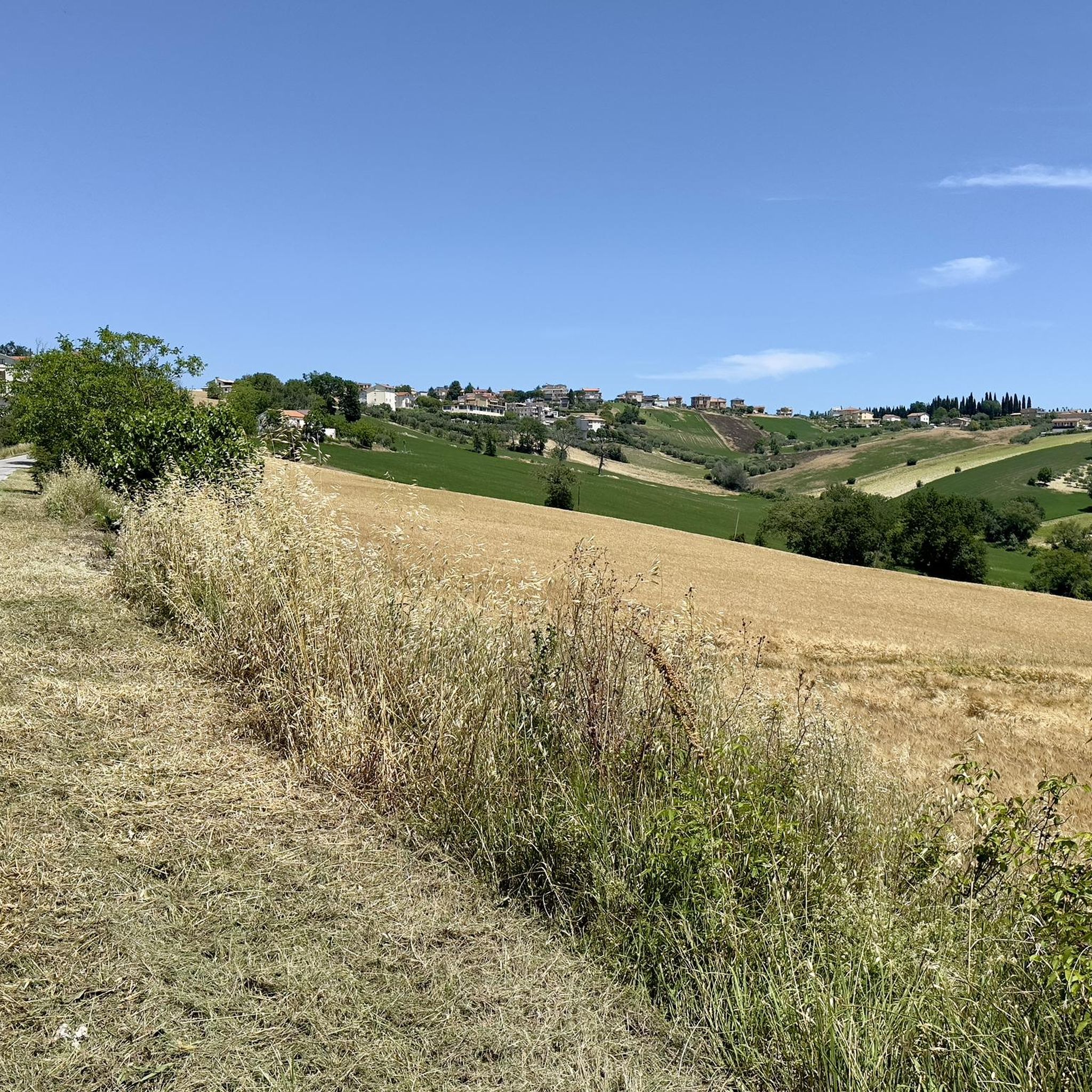
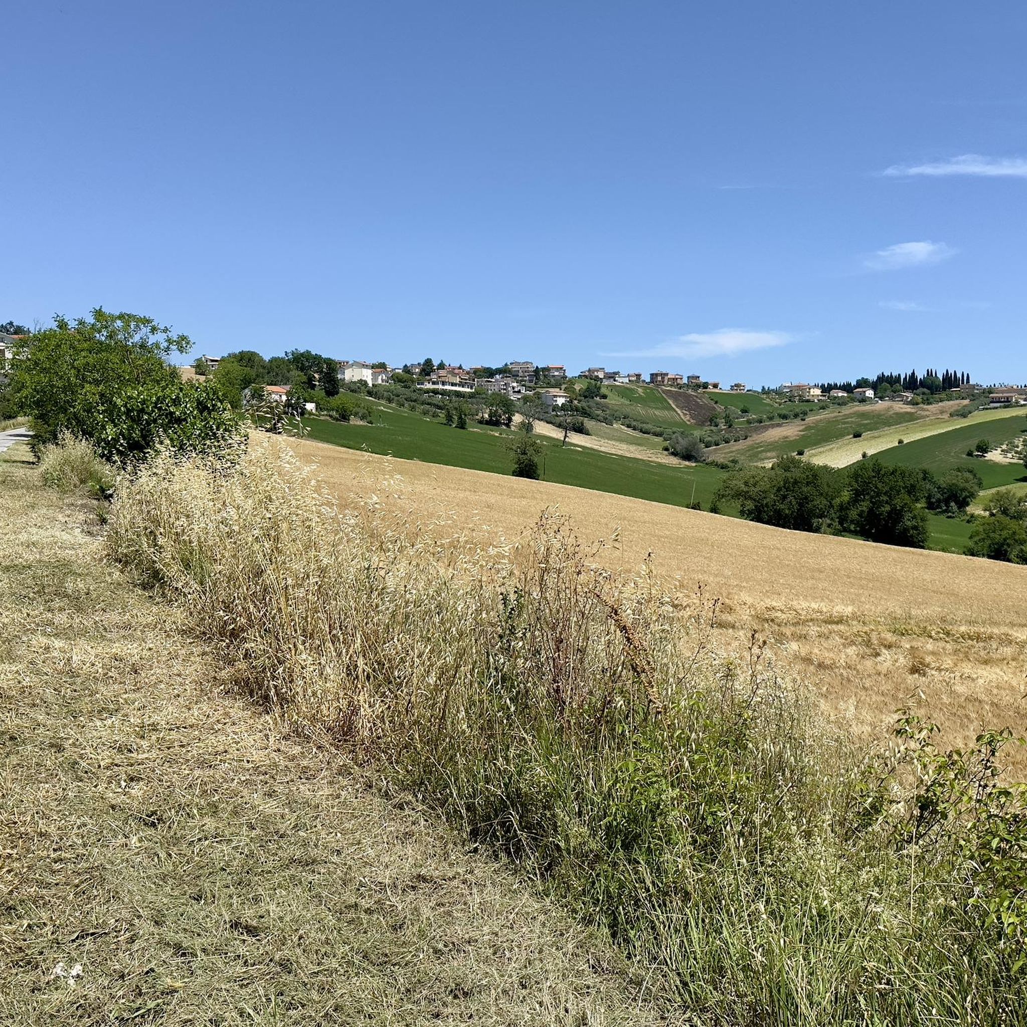
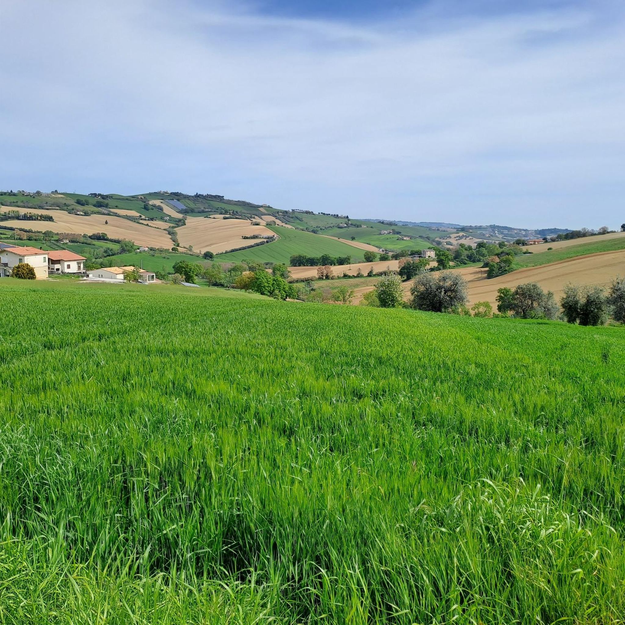
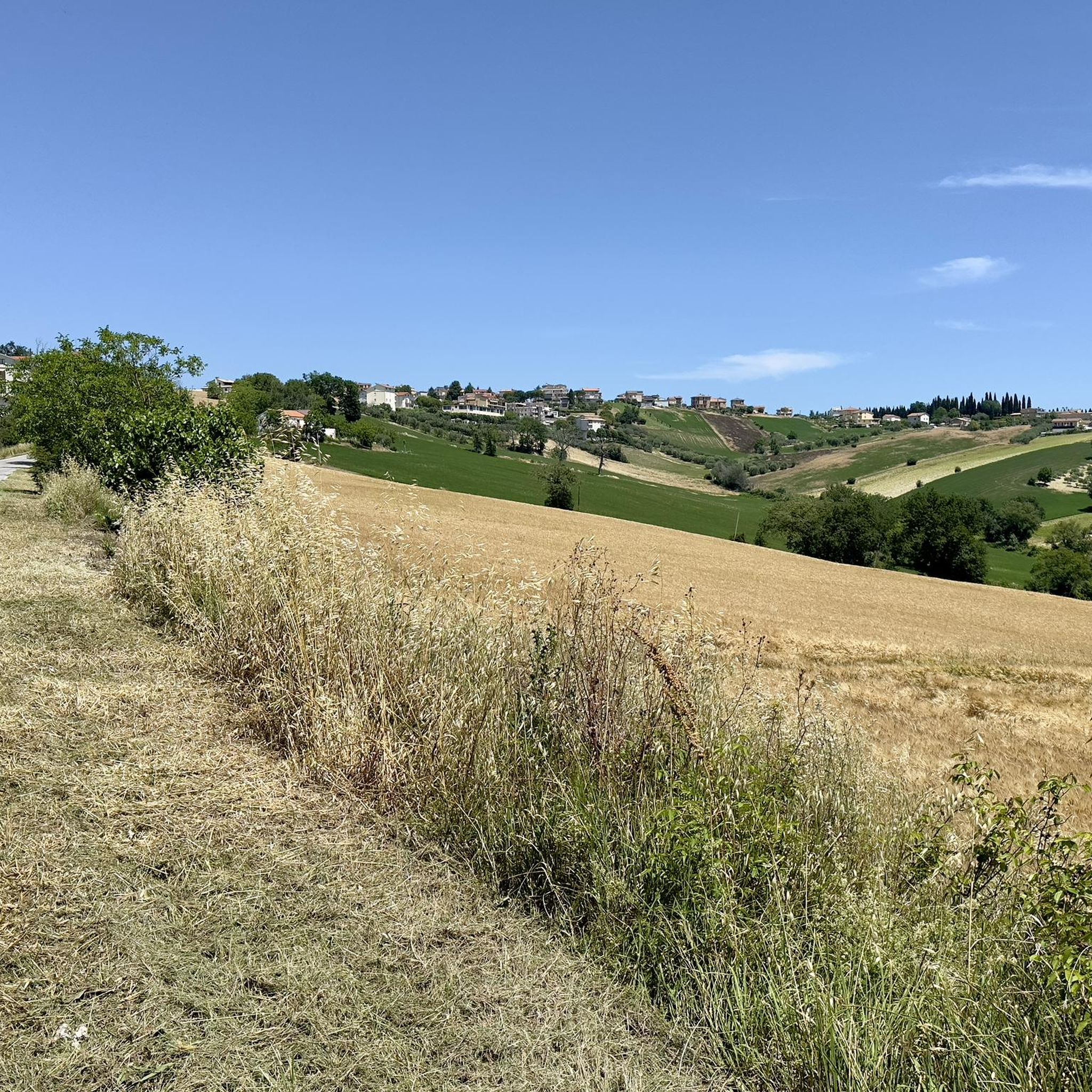
Hiking around Montegranaro offers diverse landscapes in Italy's Marche region, characterized by rolling green hills and proximity to the Adriatic Sea. The area features the Chienti River valley, known for its biodiversity and natural habitats, alongside charming pine forests. Montegranaro's elevated position at 279 meters provides varied terrain and scenic views across the countryside.
Best hiking trails around Montegranaro
- The most popular hiking route is Walk loop from Parco Fluviale del Fiume Chienti, a 5.0 miles (8.1 km) trail…
Last updated: July 8, 2026
3.7
(3)
33
hikers
3.95km
01:00
10m
10m
Easy hike. Great for any fitness level. Easily-accessible paths. Suitable for all skill levels.
4.7
(3)
46
hikers
8.15km
02:15
140m
140m
Moderate hike. Good fitness required. Easily-accessible paths. Suitable for all skill levels.

Sign up for free
4.3
(3)
10
hikers
5.46km
01:23
10m
10m
Easy hike. Great for any fitness level. Easily-accessible paths. Suitable for all skill levels.
4.0
(2)
30
hikers
4.83km
01:16
30m
30m
Easy hike. Great for any fitness level. Easily-accessible paths. Suitable for all skill levels.
4.3
(3)
8
hikers
4.56km
01:09
10m
10m
Easy hike. Great for any fitness level. Easily-accessible paths. Suitable for all skill levels.
Get access to more routes and recommendations from other explorers.
Sign up for free
Already have an account?
Our route recommendations are based on thousands of hikes, rides, and runs completed by other people on komoot.
Start today with a free account
Your next adventure awaits.
Login or Signup

Tips from the Community

Very pleasant because the slope is not excessive, to reach Civitanova Alta however you have to travel a very steep final stretch with vehicular traffic
0
0

It is an ancient village built on a hill enclosed within the walls of a medieval castle.
0
0

Civitanova Alta is a fraction of Civitanova Marche and is an ancient medieval village built on a hill from where you can enjoy a splendid view of the Adriatic Sea and Monte Conero. It is surrounded by the walls of a castle and the historic center is full of monuments and places to visit, such as the church of San Francesco, the church of Sant'Agostino or the historic Annibal Caro theatre.
1
0

In this stretch, the Tenna river (which starts from the Sibillini Mountains) has a very low water flow. It is therefore also possible to access the bank under the bridge.
1
0

nice stretch of cycle path that goes down from Civitanova alta VS. Civitanova Marche
0
0

panoramic tour of the hills of Civitanova Alta
0
0

comfortable bike path that from civitanova bassa reaches the doors civititanova alta
0
0
very beautiful on a slight slope with a distinct carriageway for pedestrians and bikes
0
0
Frequently Asked Questions
What kind of terrain and landscapes can I expect on hikes around Montegranaro?
Hikes around Montegranaro feature diverse landscapes, primarily characterized by rolling green hills and the biodiverse Chienti River valley. You'll also find pleasant pine forests, offering shaded walking environments. The elevated position of Montegranaro provides scenic views of the surrounding countryside.
What are the typical difficulty levels of hiking trails in Montegranaro?
The hiking trails in Montegranaro cater to various skill levels. You'll find a good mix of easy strolls and moderate treks. According to komoot data, there are 14 easy routes and 13 moderate routes, with no difficult trails, making the area accessible for most hikers.
Are there any family-friendly hiking options around Montegranaro?
Yes, Montegranaro offers several family-friendly hiking options. Many of the easy and moderate trails are suitable for families. For example, the Pineta loop from Fonte di Mare is an easy route through pine forests, perfect for a relaxed family outing.
Can I find panoramic viewpoints on hikes in Montegranaro?
Given Montegranaro's elevated position at 279 meters above sea level and the undulating landscape of the Marche region, many trails offer panoramic views of the surrounding countryside, including cultivated fields, vineyards, and distant glimpses of the Adriatic coastline.
Are hiking trails in Montegranaro dog-friendly?
Generally, trails in natural areas like Montegranaro are dog-friendly, but it's always advisable to keep dogs on a leash, especially in areas with wildlife or near agricultural land. Check local signage for specific regulations on individual routes.
What natural features can I see while hiking near Montegranaro?
The most prominent natural feature is the Chienti River valley, known for its significant biodiversity and natural habitats. You'll also encounter rolling green hills and charming pine forests, providing a varied natural experience.
Are there any historical landmarks or attractions along the trails?
Yes, some routes combine natural beauty with historical interest. For instance, the Hiking loop from Abbazia di Santa Croce al Chienti leads to an ancient monastery. Other nearby attractions include the San Claudio Abbey and the historic Piazza del Popolo in Fermo, which can be explored in conjunction with your hikes.
When is the best time of year to go hiking in Montegranaro?
The Marche region generally offers pleasant hiking conditions from spring through autumn. Spring brings blooming landscapes, while autumn provides comfortable temperatures and beautiful foliage. Summer can be warm, so early morning or late afternoon hikes are recommended. Winter hiking is possible, but some trails might be muddy or require appropriate gear.
Is parking available at trailheads in Montegranaro?
While specific parking details vary by trailhead, many popular hiking areas in Italy, including those around Montegranaro, typically offer designated parking spaces or roadside parking options near trail access points. It's recommended to check route descriptions for specific parking information.
Can I reach hiking trails near Montegranaro by public transport?
Access to trailheads by public transport can be limited in more rural areas of Italy. While Montegranaro itself has some public transport connections, reaching specific, more remote trail starting points might require a car. For routes closer to the town center or larger villages, public transport might be an option.
What do other hikers enjoy the most about hiking in Montegranaro?
The area is highly rated by the komoot community, with an average score of 4.3 stars from over 20 reviews. Hikers often praise the diverse landscapes, from the serene Chienti River valley to the peaceful pine forests, and the accessibility of trails for various fitness levels.
Are there any circular walks available in Montegranaro?
Yes, many of the trails around Montegranaro are designed as circular walks, allowing you to start and end at the same point. Examples include the Walk loop from Parco Fluviale del Fiume Chienti and the Hiking loop from Ponte Squadroni.
Most popular routes around Montegranaro
Most popular attractions around Montegranaro

Get inspired with the komoot mobile app


Explore more
Browse the best Hikes in other regions.
