The best road cycling routes around Scheggia E Pascelupo
4.5
(78)
2,438
riders
110
rides
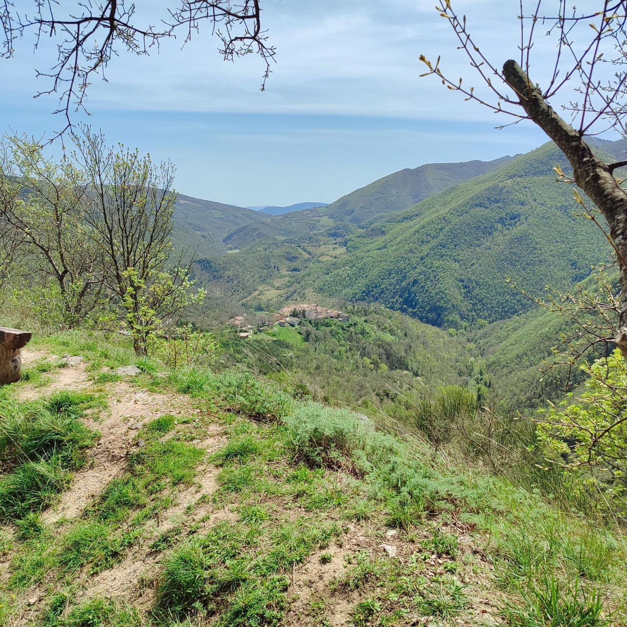
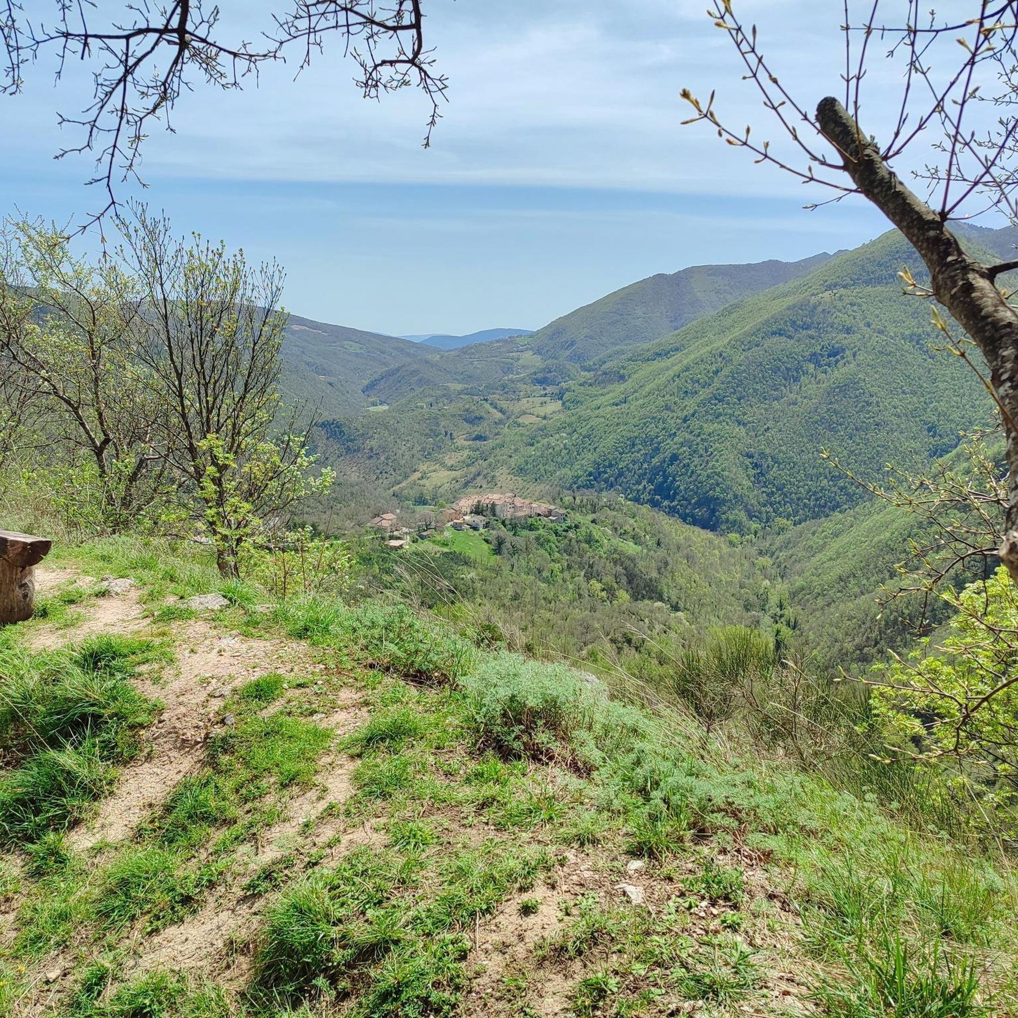
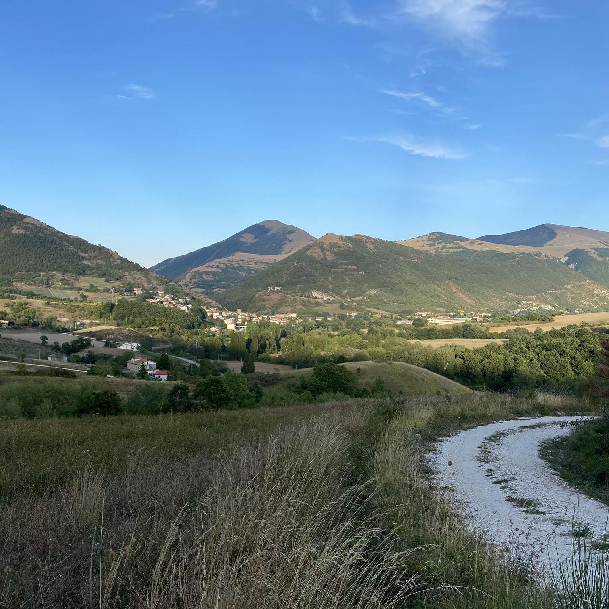
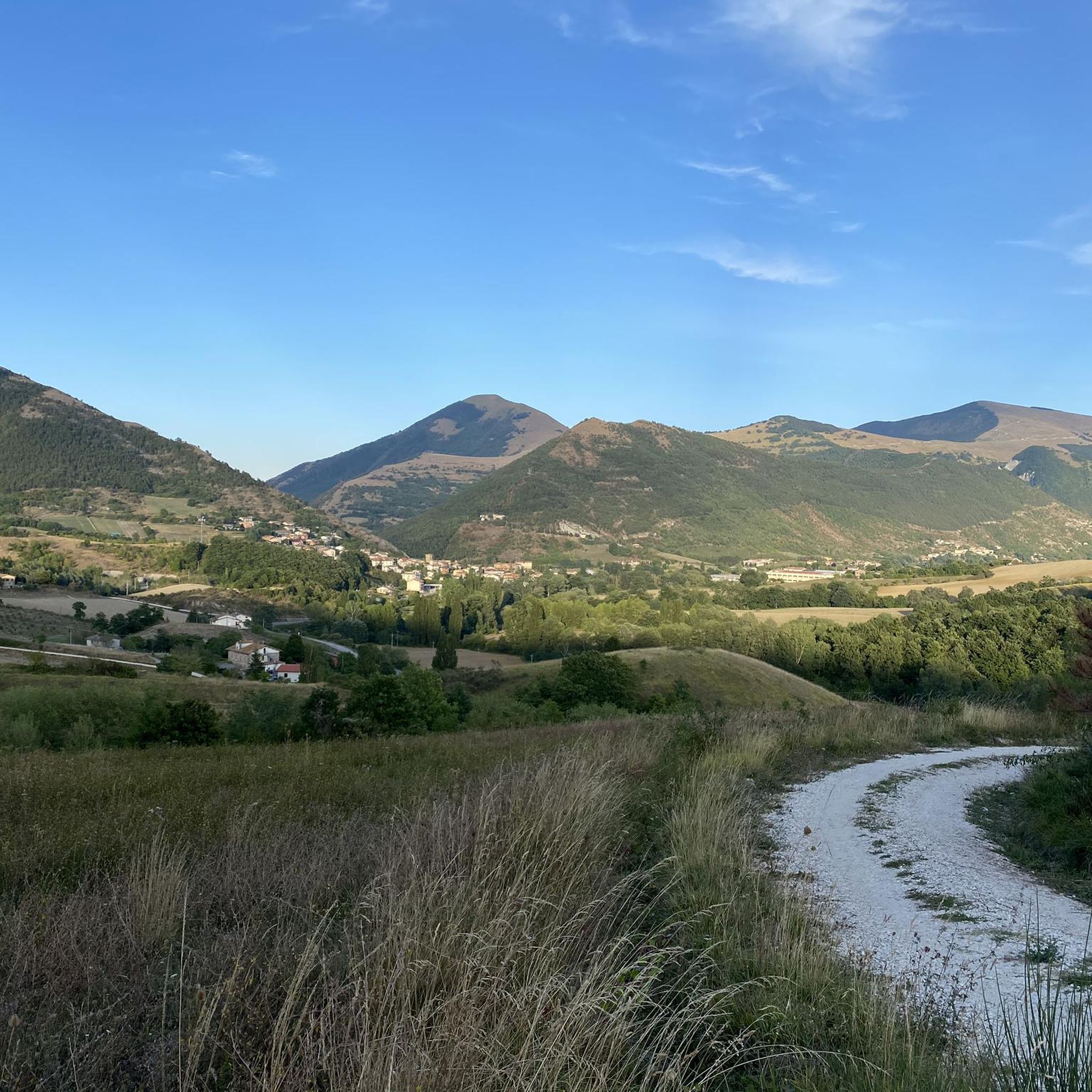
Road cycling around Scheggia E Pascelupo is characterized by its varied terrain, featuring rolling hills, forested landscapes, and mountain passes. The region, situated in the Apennine mountains, offers routes that traverse valleys and ascend to panoramic viewpoints. Road cyclists can expect a mix of challenging climbs and scenic descents through a landscape dotted with historic villages and natural features.
Best road cycling routes around Scheggia E Pascelupo
- The most popular road cycling route is View of Frontone Castle – Monte…
Last updated: July 8, 2026
5.0
(3)
211
riders
Hard road ride. Very good fitness required. Some segments of this route may be unpaved and difficult to ride.
5.0
(1)
41
riders
49.0km
02:18
600m
600m
Moderate road ride. Good fitness required. Mostly well-paved surfaces and easy to ride.

Sign up for free
5.0
(2)
43
riders
69.5km
03:53
1,490m
1,490m
Hard road ride. Very good fitness required. Mostly well-paved surfaces and easy to ride.
4.5
(2)
35
riders
78.0km
03:39
960m
960m
Hard road ride. Very good fitness required. Mostly well-paved surfaces and easy to ride.
1.0
(1)
18
riders
100km
04:49
1,360m
1,360m
Hard road ride. Very good fitness required. Some segments of this route may be unpaved and difficult to ride.
Get access to more routes and recommendations from other explorers.
Sign up for free
Already have an account?
Our route recommendations are based on thousands of hikes, rides, and runs completed by other people on komoot.
Start today with a free account
Your next adventure awaits.
Login or Signup

Tips from the Community

lovely quiet place to have a snack
0
0

Point of extreme charm. Mandatory stop!
1
0

Easy route on clean and dry paths. Enchanting views
1
0

The tunnel testifies to the importance of the route.
5
1

The Roman tunnel was opened by Vespasian in 79 AD, the pre-Roman one by Umbrians or Etruscans.
2
0

Here we are and the last curve that precedes the last ramp that ends in front of the entrance gate to the Rai headquarters
0
0
We are about 1 km away from the RAI headquarters antennas
0
0
To sweeten the fatigue, just look around and breathe deeply, the silence takes over, guided by what the eyes see and the fresh air you breathe
0
0
Frequently Asked Questions
How many road cycling routes are available in Scheggia E Pascelupo?
There are over 100 road cycling routes around Scheggia E Pascelupo, catering to various skill levels. You'll find a mix of easy, moderate, and challenging options to explore the region's diverse terrain.
What kind of terrain can I expect on road cycling routes in Scheggia E Pascelupo?
The region is characterized by varied terrain, including rolling hills, forested landscapes, and mountain passes within the Apennine mountains. Cyclists can expect a mix of challenging climbs and scenic descents through historic villages and natural features.
Are there challenging road bike climbs in the Scheggia E Pascelupo area?
Yes, Scheggia E Pascelupo offers several challenging climbs. Routes like the View of Frontone Castle – Monte Nerone loop from Monastero di della Santa Croce di Fonte Avellana feature significant elevation gain, making them ideal for experienced cyclists seeking a demanding ride. Another challenging option is the Monte Petrano Summit – Costacciaro loop from Costacciaro, which includes a substantial ascent to the Monte Petrano Summit.
What are some scenic viewpoints or natural attractions along the road cycling routes?
Many routes offer stunning views. For example, the View of Frontone Castle – Monte Nerone loop provides vistas of Frontone Castle. You can also find natural highlights like the Gola del Corno, which is part of the Costacciaro – Gola del Corno loop. The region also features the Monte Catria Summit and the Summit of Monte Cucco, both offering panoramic views.
Are there circular road bike loops available in Scheggia E Pascelupo?
Yes, many of the road cycling routes in Scheggia E Pascelupo are designed as circular loops, allowing you to start and end your ride in the same location. Examples include the Church of the Spring of Saint Ugo – Belvedere di Sassoferrato loop and the Gualdo Tadino – Costacciaro loop.
What is the best time of year for road biking in Scheggia E Pascelupo?
The best time for road biking in Scheggia E Pascelupo is typically during the spring (April to June) and autumn (September to October). During these months, the weather is generally mild, with pleasant temperatures and less rainfall, making for ideal cycling conditions. Summer can be hot, especially in July and August, while winters can be cold with potential for snow at higher elevations.
Are there any easy or beginner-friendly road cycling trails?
While many routes feature significant elevation, there are a few easier options. Out of over 100 routes, 2 are classified as easy. These routes typically have less elevation gain and shorter distances, making them suitable for beginners or those looking for a more relaxed ride.
Where can I find parking for road cycling routes in Scheggia E Pascelupo?
Parking is available at various points near the start of many routes. For instance, the Monte Cucco Parking Area is a known spot that can serve as a starting point for exploring the surrounding trails.
What do other road cyclists enjoy most about road cycling in Scheggia E Pascelupo?
The area is highly rated by the komoot community, with an average score of 4.5 stars from over 60 reviews. Reviewers often praise the varied terrain, the challenging climbs, and the scenic beauty of the Apennine landscapes, including views of historic castles and natural gorges.
Are there any less crowded road cycling routes for a more tranquil experience?
To find less crowded routes, consider exploring some of the moderate trails that venture deeper into the forested hills and valleys away from the main towns. While specific 'hidden gems' are subjective, routes that don't pass through major tourist hubs tend to offer a more tranquil experience.
Can I access road cycling routes in Scheggia E Pascelupo using public transport?
Accessing the specific starting points of all road cycling routes directly by public transport can be challenging in this mountainous region. While some larger towns nearby may have bus or train connections, reaching the more remote trailheads often requires a car. It's advisable to check local bus schedules for connections to the main villages if you plan to rely on public transport.
Most popular routes around Scheggia E Pascelupo
Most popular attractions around Scheggia E Pascelupo

Get inspired with the komoot mobile app


Explore more
Browse the best Road cycling routes in other regions.
