The best running trails around Arquata Del Tronto
258
runners
24
runs
Jogging around Arquata Del Tronto offers diverse terrain within a unique geographical setting, nestled between the Monti Sibillini National Park and the Gran Sasso and Monti della Laga National Park. The region features a predominantly mountainous landscape with varied slopes, providing both gentle paths and more challenging trails. Joggers can explore dense forests of chestnut and beech, open meadows, and historical paths that connect the area's hamlets. This combination of natural parks and varied topography creates a rich environment for…
Last updated: July 8, 2026
5.05km
00:36
130m
130m
Jog the moderate 3.1-mile Tallacano-Poggio Rocchetta Trail, gaining 433 feet with panoramic views and waterfalls.
13
runners
Hard run. Very good fitness required. Sure-footedness, sturdy shoes and alpine experience required.

Sign up for free
5
runners
Moderate run. Good fitness required. Mostly accessible paths. Some sure footedness required.
7
runners
Hard run. Very good fitness required. Mostly paved surfaces. Suitable for all skill levels.
9
runners
8.29km
00:54
140m
140m
Moderate run. Good fitness required. Mostly paved surfaces. Suitable for all skill levels.
Get access to more routes and recommendations from other explorers.
Sign up for free
Already have an account?
Our route recommendations are based on thousands of hikes, rides, and runs completed by other people on komoot.
Start today with a free account
Your next adventure awaits.
Login or Signup
Popular around Arquata Del Tronto
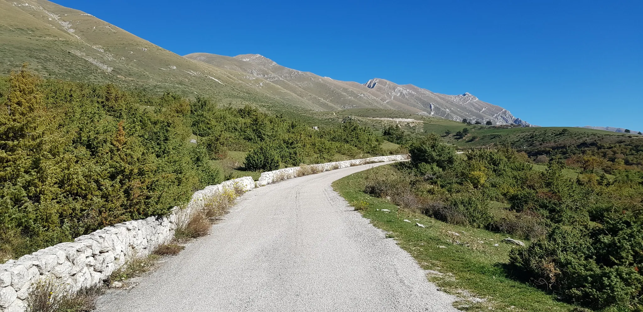
The Apennine Cycleway (Part 2) - From Umbria to Calabria
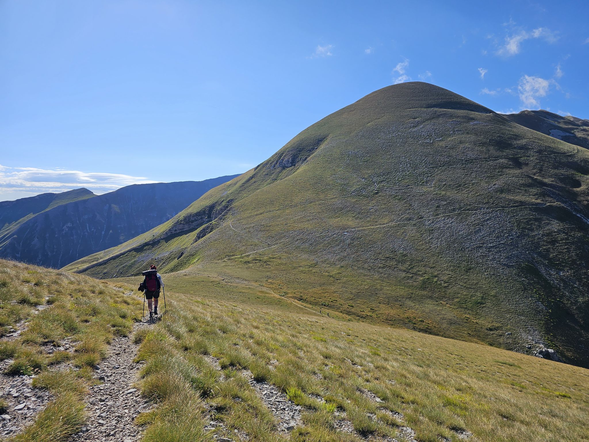
The Sibillini Mountains to Gran Sasso – the Great Apennine Crossing
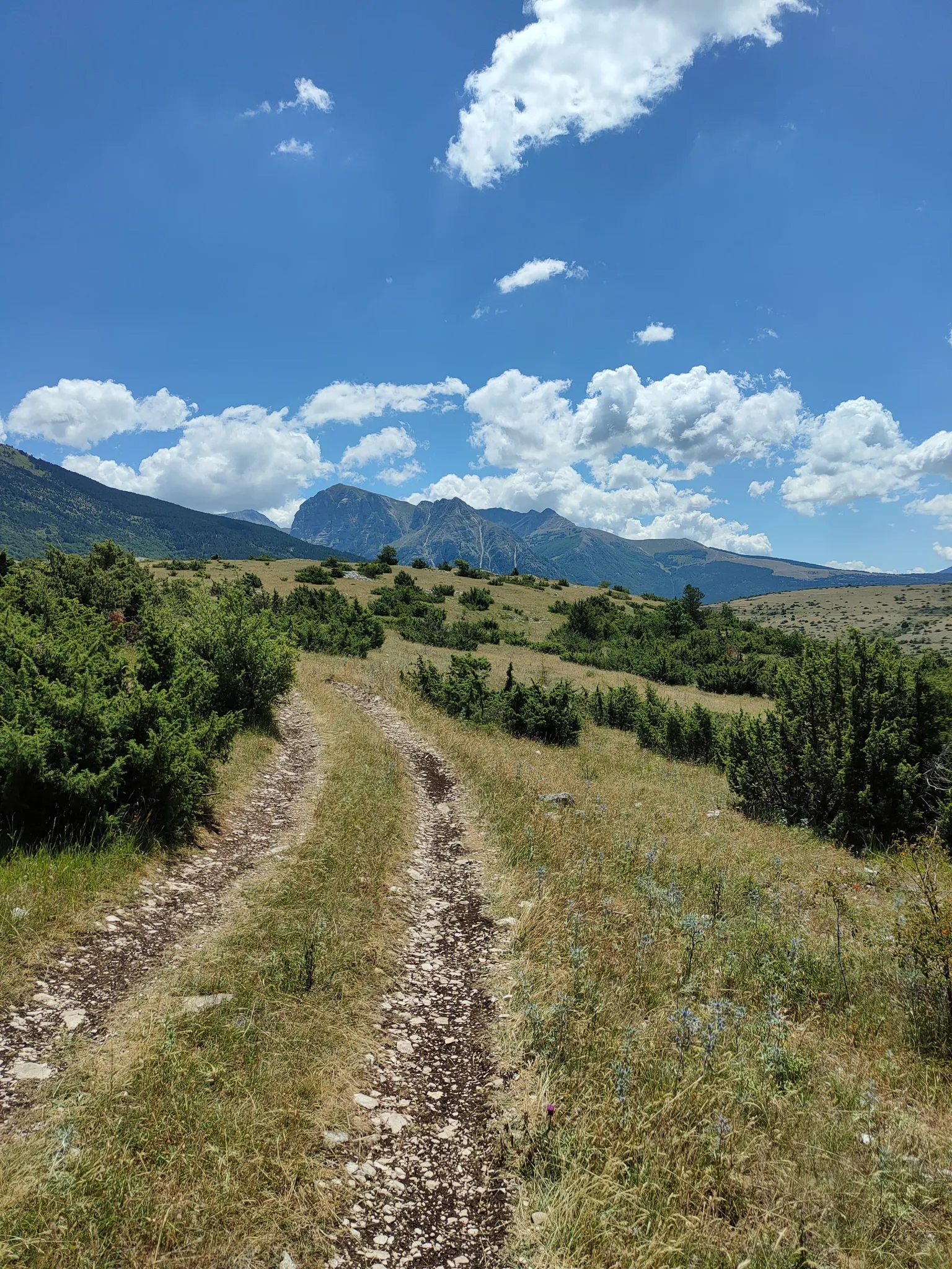
On the trail of the Queen of the Fairies – Grande Anello dei Sibillini
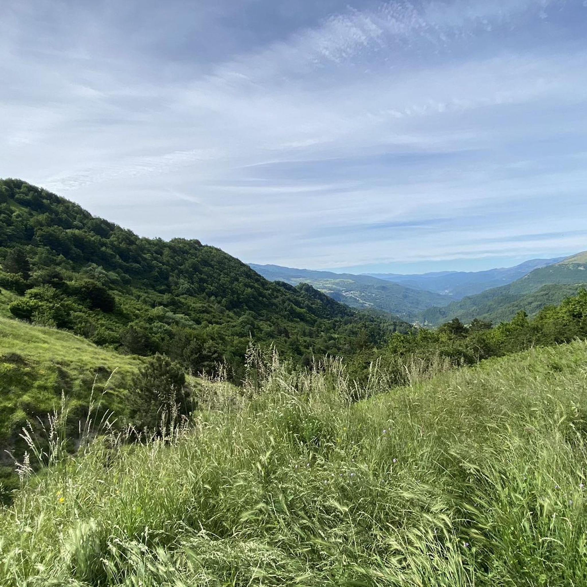
Hiking around Arquata Del Tronto
MTB Trails around Arquata Del Tronto
Road Cycling Routes around Arquata Del Tronto
Cycling around Arquata Del Tronto

Gravel biking around Arquata Del Tronto

Mountain Hikes around Arquata Del Tronto
Other adventures around Arquata Del Tronto

Tips from the Community


Check the weather and flowering period
0
0

Unique landscape. Wide panoramas.
0
0

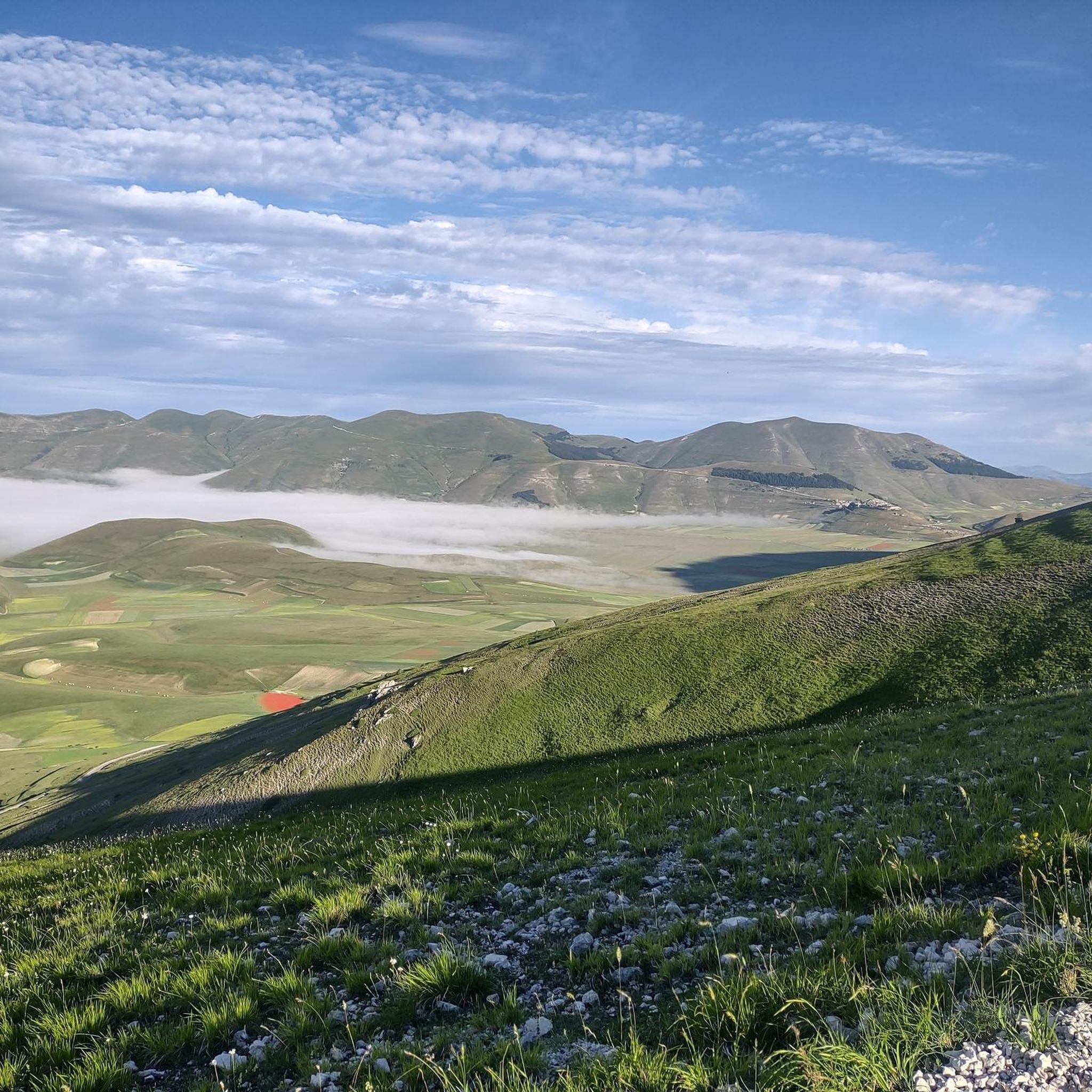
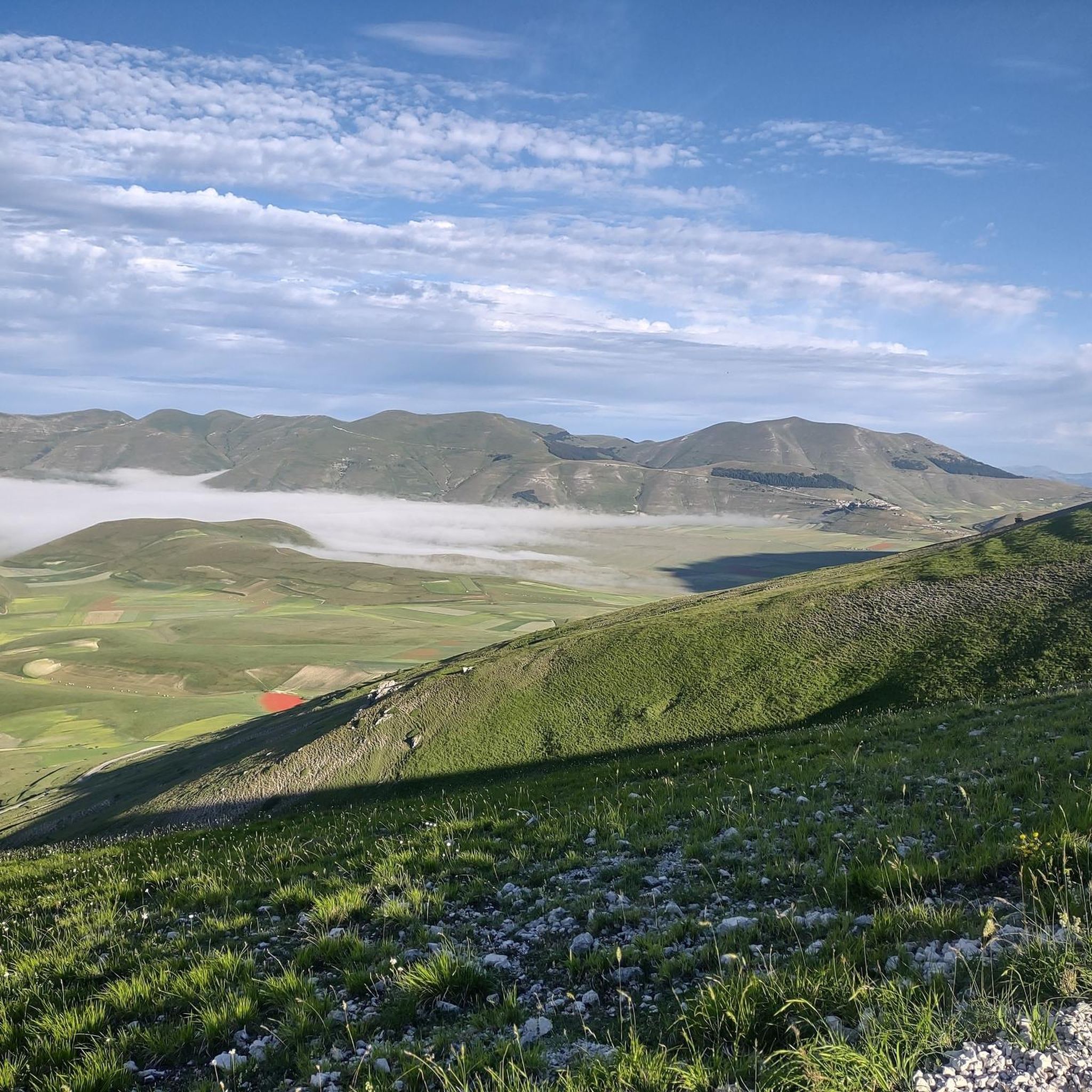
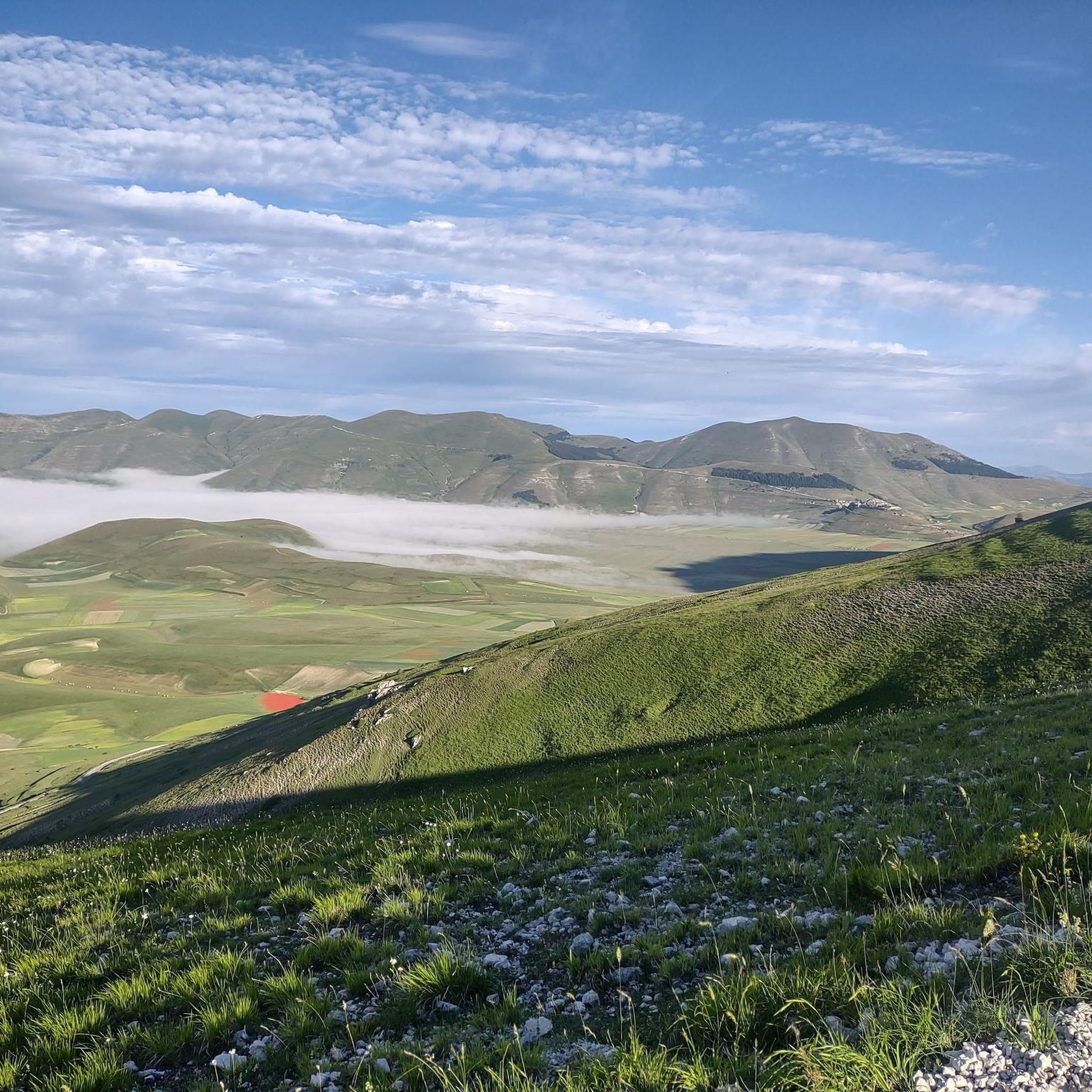
This dirt road leading to Castelluccio di Norcia offers breathtaking views of the "roof of Umbria".
0
0

Forca di Presta is one of the most famous passes in the Sibillini mountains. It separates the Castelluccio plain from the Tronto valley and is the natural border between Umbria and the Marche. On summer weekends the roads in the area are very busy, on the other hand the pass is filled with local producers selling all types of local delicacies. I recommend the sheep's ricotta sprinkled with honey, an energy bomb!
2
0

a feast for the eyes, especially when the lentil is in flower
0
0

The flowering of Castelluccio and Italy
0
0
Forca di Presta is one of the most famous passes in the Sibillini mountains. There are many trails that start from here. The most difficult ones go uphill towards Mount Vettore, the easiest ones at the foot of the mountain. There is also a wheelchair accessible trail called "Sentiero per Tutti NT2" that from the pass in three kilometers leads to the Belvedere refuge.
5
0
Frequently Asked Questions
How many running routes are available in Arquata del Tronto?
Arquata del Tronto offers a diverse selection of over 20 running routes, catering to various fitness levels. These trails wind through the unique landscapes of the Monti Sibillini and Gran Sasso and Monti della Laga National Parks.
What kind of terrain can I expect on running trails in Arquata del Tronto?
The terrain in Arquata del Tronto is predominantly mountainous, featuring a mix of rugged and gentler slopes. You'll encounter varied surfaces, including natural paths through dense forests of chestnut and beech, open meadows, and some historical stone paths. This diversity provides options for both relaxed runs and more challenging trail running experiences.
Are there running routes suitable for beginners or those looking for an easy jog?
While many routes in Arquata del Tronto are challenging, there are 6 moderate routes available. For a pleasant, moderate run, consider the Tallacano-Poggio Rocchetta Trail, which is 3.1 miles (5.0 km) long and takes about 35 minutes to complete.
What are the options for experienced runners seeking a challenge?
Experienced runners will find plenty of challenging options, with 14 difficult routes available. A notable difficult route is the Monte Vettore – Monte Vettoretto loop from Forca di Presta, a 6.9-mile (11.1 km) path featuring significant elevation gain and panoramic views.
When is the best time of year to go jogging in Arquata del Tronto?
The best time for jogging in Arquata del Tronto is generally from spring to autumn. During these seasons, the weather is more favorable, and the natural landscapes, including forests and meadows, are at their most vibrant. Summer offers longer daylight hours, while spring and autumn provide cooler temperatures ideal for longer runs. Winter can be challenging due to snow and ice in higher elevations.
Are there any circular running routes in the Arquata del Tronto area?
Yes, there are several circular running routes. For a challenging loop, you might enjoy the Forca di Presta loop from Forca di Presta, which is 6.2 miles (10.0 km) long and takes about 1 hour 40 minutes. Another option is the more extensive Colle del Lupo – Forca di Presta loop from Forca di Presta, covering 12.7 miles (20.5 km).
Can I bring my dog on the running trails in Arquata del Tronto?
Arquata del Tronto is situated within two national parks, Monti Sibillini and Gran Sasso and Monti della Laga. While many trails are generally dog-friendly, it's crucial to check specific regulations for each national park regarding dogs, especially concerning leash requirements and restricted areas, particularly during nesting seasons for wildlife. Always ensure your dog is under control and clean up after them.
Are there family-friendly jogging routes in Arquata del Tronto?
For families looking for a less strenuous option, the moderate routes are generally more suitable. The Castelluccio Plain – Pian Grande di Castelluccio loop from Sibillini Ranch is a moderate 5.0-mile (8.0 km) route that offers beautiful scenery and is relatively flat, making it a good choice for a family outing.
What scenic views or landmarks can I expect to see while running in Arquata del Tronto?
Jogging in Arquata del Tronto offers breathtaking panoramic views of peaks like Mount Carrier, the Sibillini massif, the Laga Mountains chain, and Mount Ceresa. On clear days, you might even spot Gran Sasso d'Italia and the Adriatic Sea. You can also encounter historical and natural landmarks such as the Forca di Presta Pass, Monte Vettore, and the serene Pilate Lake.
Are there any historical or cultural points of interest along the running routes?
Yes, Arquata del Tronto is rich in history. Many ancient stone paths connecting its 13 hamlets are part of a UNESCO World Heritage site. Some routes may lead you past architectural gems like the 15th-century Church of the Madonna della Neve or the 16th-century Hermitage of the Madonna dei Santi. The medieval castle of Arquata del Tronto also provides a stunning historical backdrop to the wild landscape.
What do other runners enjoy the most about jogging in Arquata del Tronto?
Runners frequently praise the region's unique geographical setting, nestled between two national parks, which provides unparalleled natural beauty and diverse landscapes. The mix of challenging mountain trails and gentler paths through forests and meadows, combined with stunning panoramic views and a sense of immersion in nature, are often highlighted as key attractions.
Most popular routes around Arquata Del Tronto
Most popular attractions around Arquata Del Tronto

Get inspired with the komoot mobile app


Explore more
Browse the best Running Trails & Routes in other regions.
