The best walks and hikes around Steinbach-Hallenberg
4.6
(2180)
7,253
hikers
91
hikes
Hiking around Steinbach-Hallenberg offers access to the Thuringian Forest, a region characterized by dense woodlands and varied elevations. The area features notable peaks such as Schneekopf, the second-highest mountain in Thuringia, and Großer Beerberg, the highest peak in the forest. Trails often incorporate sections of the historic Rennsteig long-distance path and lead through unique habitats like the Hochmoor am Großen Beerberg. This landscape provides a diverse range of hiking experiences, from gentle forest walks to more challenging ascents.
Best hiking…
Last updated: October 13, 2026
4.8
(140)
430
hikers
8.03km
02:13
140m
140m
Hard hike. Good fitness required. Sure-footedness, sturdy shoes and alpine experience required.
4.8
(195)
585
hikers
11.3km
03:05
170m
170m
Hard hike. Good fitness required. Sure-footedness, sturdy shoes and alpine experience required.

4.8
(66)
230
hikers
11.0km
03:20
340m
340m
Moderate hike. Good fitness required. Mostly accessible paths. Sure-footedness required.
4.6
(118)
554
hikers
2.86km
00:51
90m
90m
Hard hike. Great for any fitness level. Sure-footedness, sturdy shoes and alpine experience required.
4.8
(48)
156
hikers
15.2km
04:16
270m
270m
Moderate hike. Good fitness required. Mostly accessible paths. Sure-footedness required.
Get access to more routes and recommendations from other explorers.
Already have an account?
Our route recommendations are based on thousands of hikes, rides, and runs completed by other people on komoot.
Start today with a free account
Your next adventure awaits.
Popular around Steinbach-Hallenberg
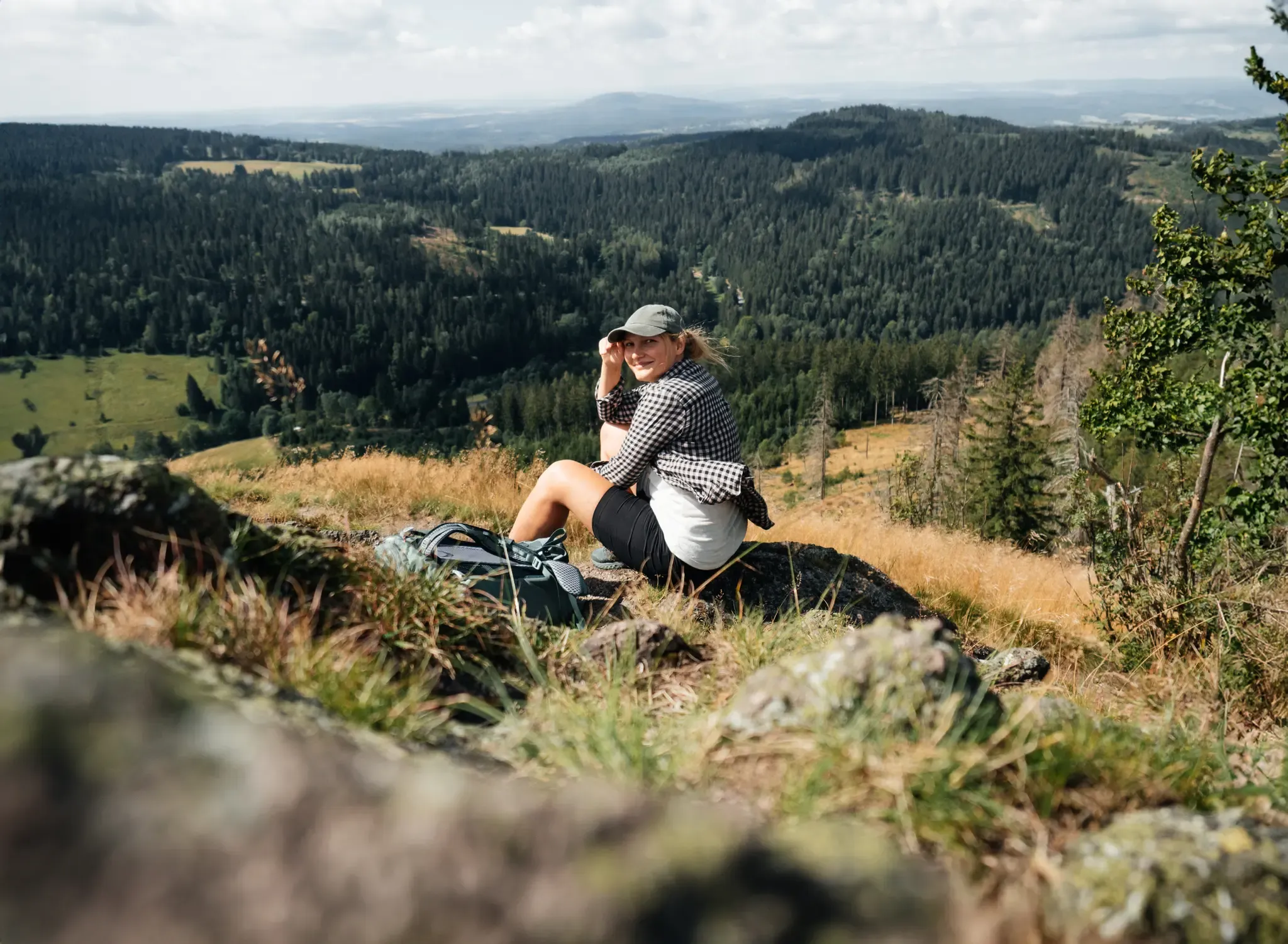
More than 'just' trees – Draußen in the Thuringian Forest

#GoFurther – discover the views of Germany!
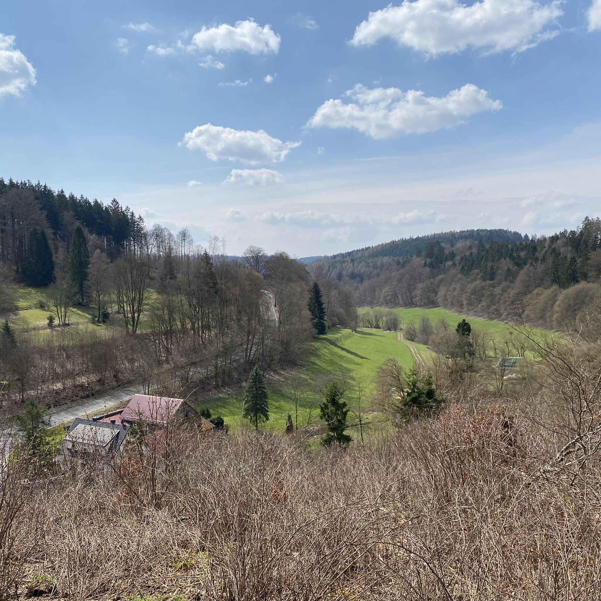
MTB Trails around Steinbach-Hallenberg
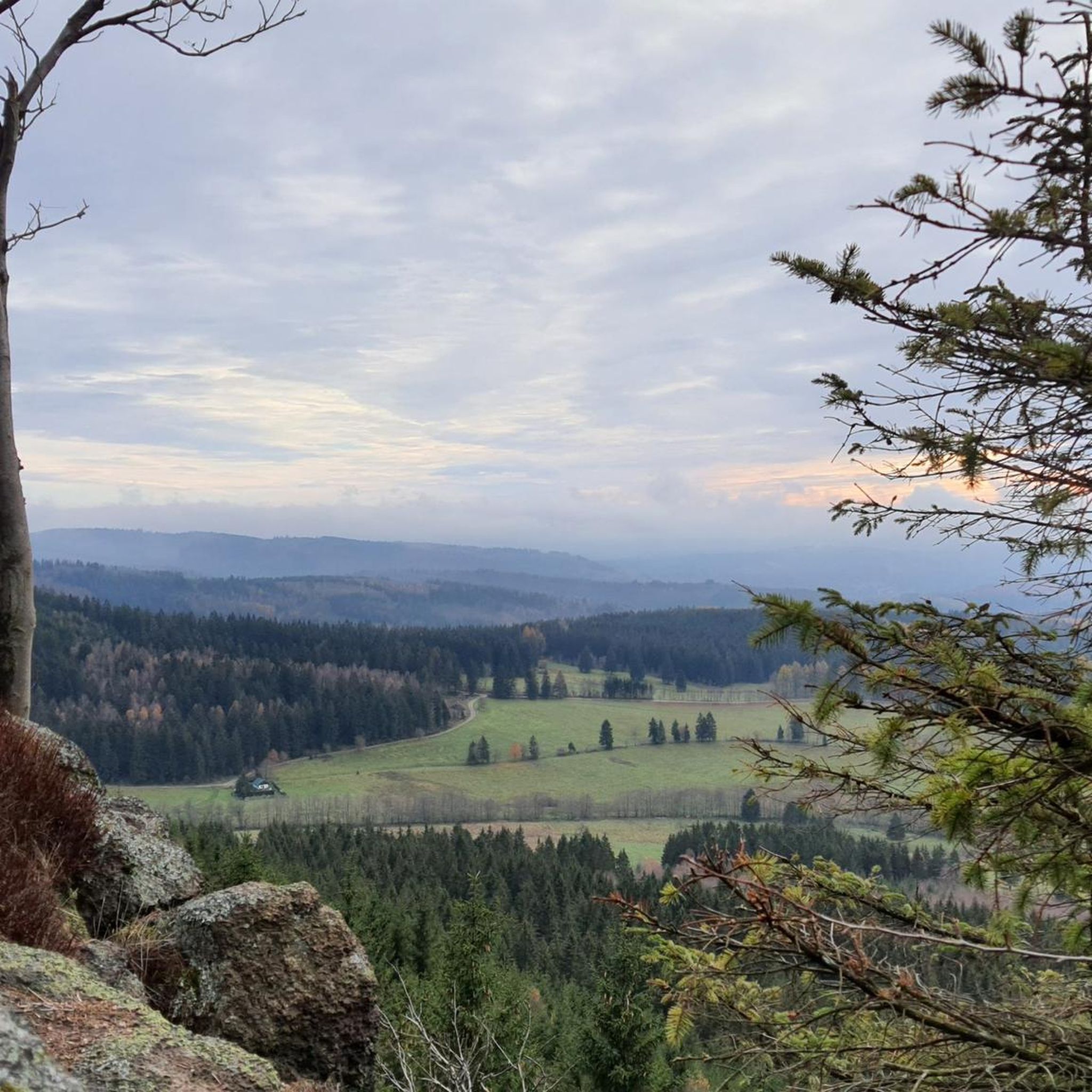
Cycling around Steinbach-Hallenberg
Road Cycling Routes around Steinbach-Hallenberg
Running Trails around Steinbach-Hallenberg

Gravel biking around Steinbach-Hallenberg
Mountain Hikes around Steinbach-Hallenberg
Other adventures around Steinbach-Hallenberg


Tips from the Community

Beautiful hut with a great view of the Fuhrmannswiese and Hermannsberg
0
0

Impressive moorland landscape, which is unfortunately drying out.
0
0


Interesting information boards; caution in wet weather, the boards can be very slippery then
0
0
Interesting information boards; Be careful in wet weather, as the planks can be very slippery in places
1
0


You should take a look at DasD
1
0
Frequently Asked Questions
How many hiking trails are available around Steinbach-Hallenberg?
There are over 90 hiking trails around Steinbach-Hallenberg, offering a wide range of experiences for different skill levels.
What kind of terrain can I expect on hikes in Steinbach-Hallenberg?
Hikes in Steinbach-Hallenberg traverse the diverse landscapes of the Thuringian Forest, featuring dense woodlands, varied elevations, and notable peaks like Schneekopf and Großer Beerberg. You'll find paths ranging from gentle forest walks to more challenging ascents, sometimes incorporating sections of the historic Rennsteig long-distance trail or unique habitats like the Hochmoor am Großen Beerberg.
Are there any easy or family-friendly hiking routes in the area?
Yes, Steinbach-Hallenberg offers a good selection of easy trails suitable for families. For example, the Children's Nature Trail, starting from the 'Festplatz', is a circular route with information boards about local flora and fauna, and views of the town's ski jump facility. Overall, there are 39 easy routes available.
Where can I find scenic viewpoints or landmarks along the trails?
The region is rich in scenic viewpoints and landmarks. You can reach the summit of Schneekopf, the second-highest mountain in Thuringia, which has an observation tower offering panoramic views. Other notable spots include Plänckner's viewpoint (Großer Beerberg) and the observation tower on Großer Finsterberg. The ruins of Hallenburg Castle also offer splendid views over Steinbach-Hallenberg.
Are there any circular hiking routes around Steinbach-Hallenberg?
Yes, many routes in the region are circular, allowing you to start and end at the same point. An example is the View of Knüllfeld – View from the Sonnenplatte loop from Bermbach, which offers scenic viewpoints through the forest.
What do other hikers enjoy most about hiking in Steinbach-Hallenberg?
The area is highly rated by the komoot community, with an average score of 4.6 stars from over 1,700 reviews. Hikers often praise the diverse terrain, the well-maintained trails, and the stunning views from peaks like Schneekopf and Großer Beerberg. The variety of routes, from gentle walks to challenging ascents, is also frequently highlighted.
Can I hike with my dog in Steinbach-Hallenberg?
Yes, many trails in the Steinbach-Hallenberg area are suitable for hiking with dogs. The natural environment of the Thuringian Forest provides ample opportunities for you and your canine companion to explore. Always ensure your dog is under control and check for any local regulations regarding leash requirements or protected areas.
Are there any challenging hikes for experienced trekkers?
Absolutely. Steinbach-Hallenberg offers 11 difficult routes for experienced hikers. These routes often feature significant elevation gains and varied terrain, sometimes connecting to the 'seven nine-hundreds' of the Thuringian Forest via the Rennsteig. An example is the Großer Hermannsberg – View of Hoher Stein loop from Bermbach.
What natural features or unique habitats can I discover while hiking?
Beyond the dense forests, you can discover unique natural features like the Hochmoor am Großen Beerberg, an ecological habitat rich in rare plant species and birdlife. The region also features significant peaks such as Schneekopf and Großer Beerberg, offering distinct natural experiences.
Are there any lakes or water features near the hiking trails?
Yes, the region around Steinbach-Hallenberg features several lakes and water bodies. You can find highlights such as Lütsche Dam, Upper Sieglitz Pond, and Ebertswiese Mountain Lake, which can be incorporated into or viewed from various hiking routes.
Is public transport available to reach hiking trailheads in Steinbach-Hallenberg?
Public transport options are available to reach Steinbach-Hallenberg itself. From there, local bus services might connect to some villages or starting points of trails. However, for more remote trailheads, personal transport or a short taxi ride might be necessary. It's advisable to check local bus schedules in advance for specific routes.
What is the best time of year to go hiking in Steinbach-Hallenberg?
The Thuringian Forest offers beautiful hiking experiences throughout much of the year. Spring brings lush greenery and blooming flora, while autumn is popular for its vibrant fall colors. Summer provides pleasant temperatures for longer treks. Winter hiking is also possible, especially on well-maintained paths, but requires appropriate gear and caution due to snow and ice.
Most popular routes around Steinbach-Hallenberg
Most popular attractions around Steinbach-Hallenberg

Get inspired with the komoot mobile app


Explore more
Browse the best Hikes in other regions.
