The best walks and hikes around Steinbach am Wald
4.6
(448)
1,479
hikers
143
hikes
Hiking around Steinbach am Wald offers diverse landscapes within the Franconian Forest, characterized by extensive woodlands and rolling hills. The region is traversed by the Rennsteig, a well-known ridge hiking trail, providing varied terrain. Hikers can explore areas featuring industrial heritage, such as the Staatsbruch Slate Park, alongside natural features like the Ölschnitz Lake. This geographical setting provides a range of hiking experiences for different abilities.
Best hiking trails around Steinbach am Wald
- The most popular hiking route is Rest…
Last updated: October 13, 2026
4.4
(47)
170
hikers
Moderate hike. Good fitness required. Easily-accessible paths. Suitable for all skill levels.
4.3
(29)
90
hikers
9.45km
02:36
160m
160m
Moderate hike. Good fitness required. Easily-accessible paths. Suitable for all skill levels.

4.7
(15)
42
hikers
Hard hike. Very good fitness required. Easily-accessible paths. Suitable for all skill levels.
3.9
(9)
56
hikers
19.1km
05:11
280m
280m
Hard hike. Very good fitness required. Easily-accessible paths. Suitable for all skill levels.
4.9
(14)
37
hikers
7.74km
02:10
150m
150m
Moderate hike. Good fitness required. Easily-accessible paths. Suitable for all skill levels.
Get access to more routes and recommendations from other explorers.
Already have an account?
Our route recommendations are based on thousands of hikes, rides, and runs completed by other people on komoot.
Start today with a free account
Your next adventure awaits.
Popular around Steinbach am Wald
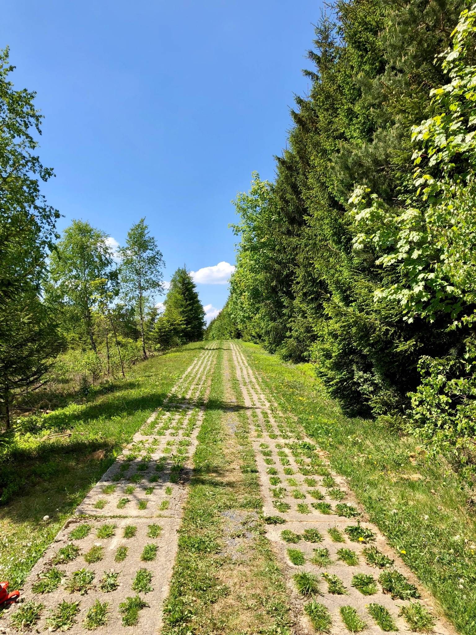
Experience history – day Tours at the Green Belt in Thuringia
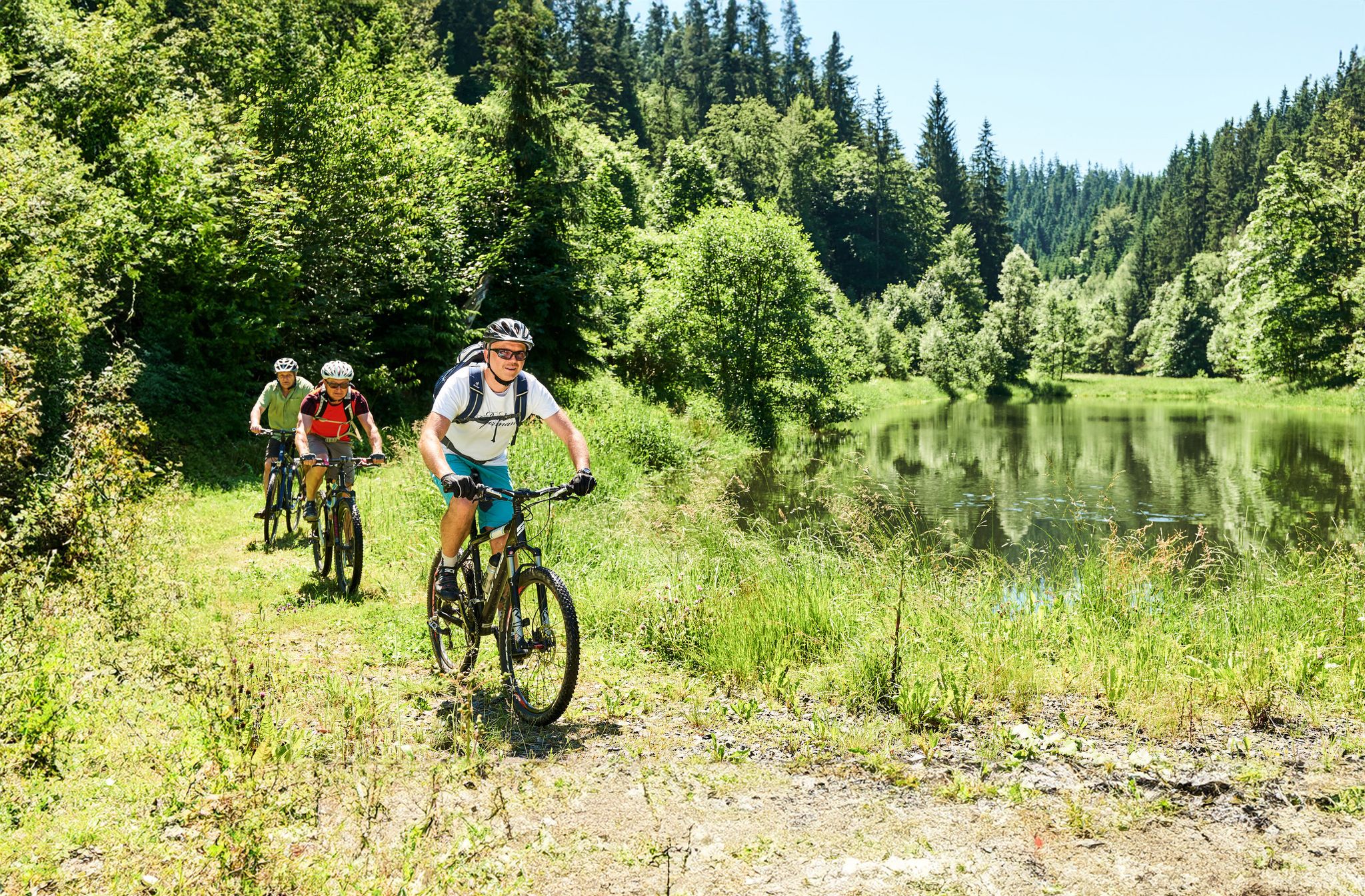
Magical woodland & trails – cycling in Germany’s Franconian Forest

Unsere FrankenwaldSteigla
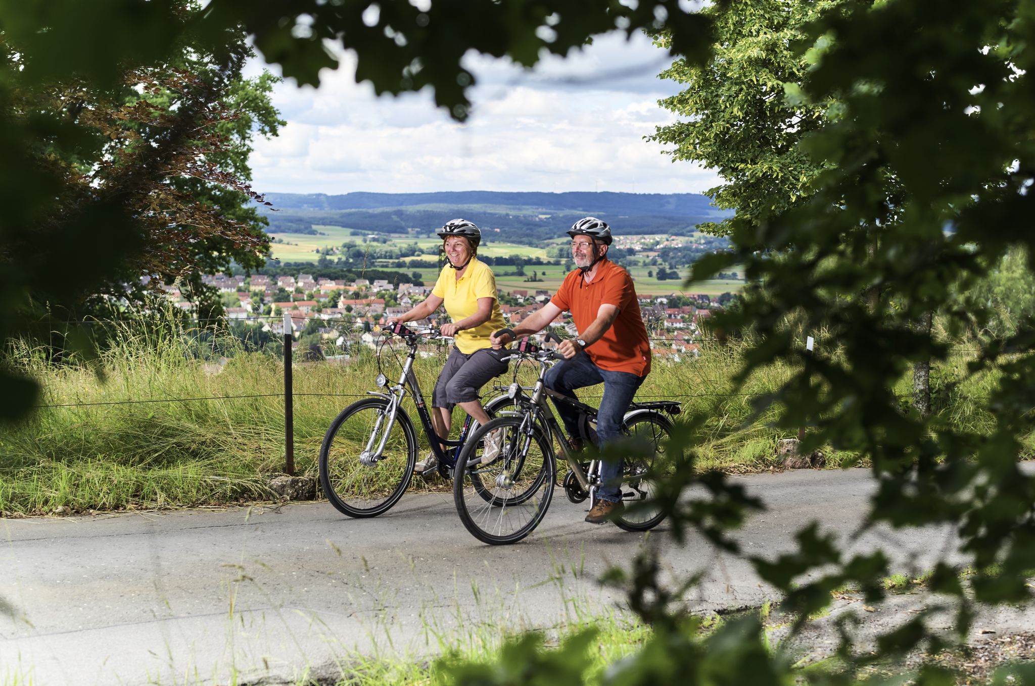
Unsere schönsten Radtouren im Frankenwald
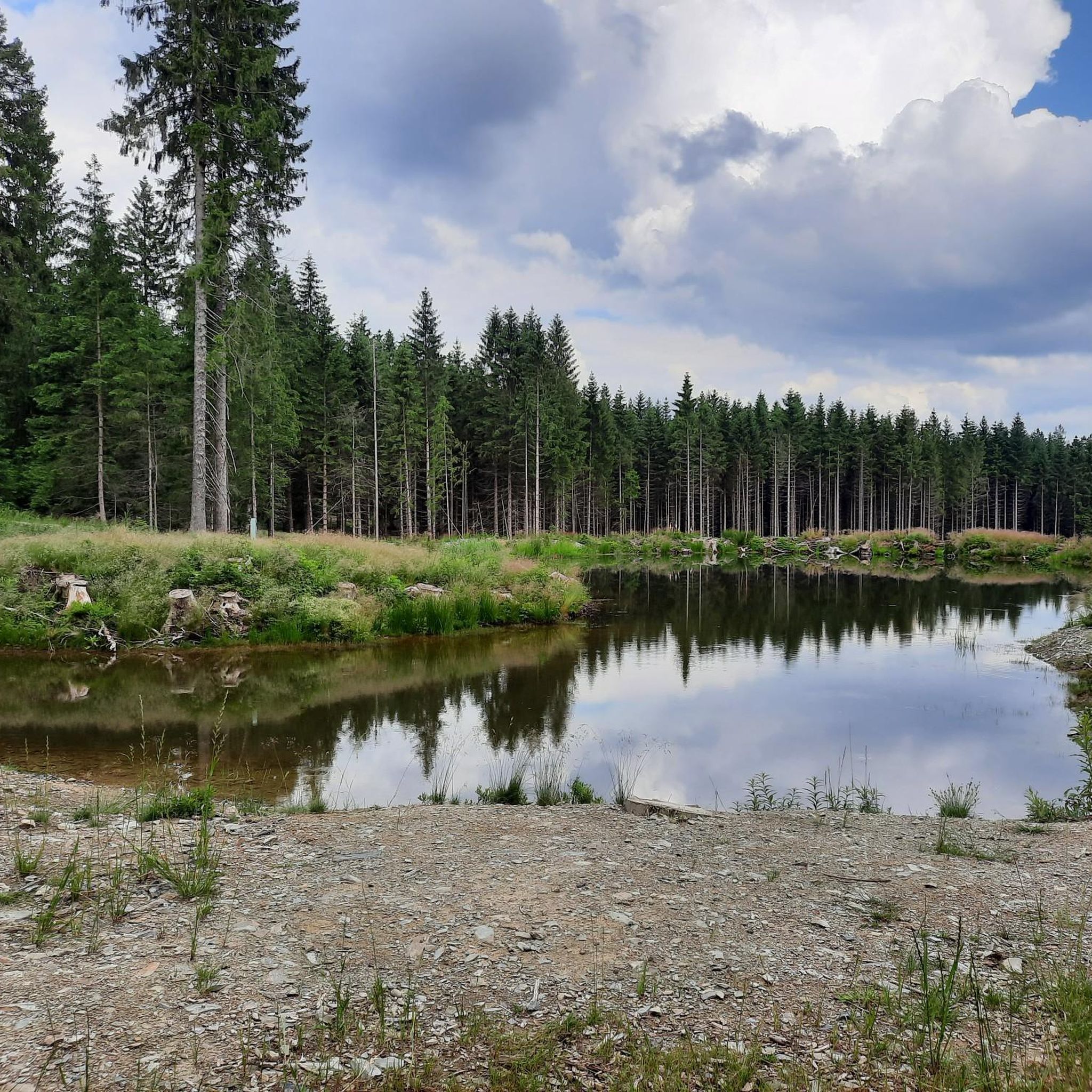
Cycling around Steinbach am Wald
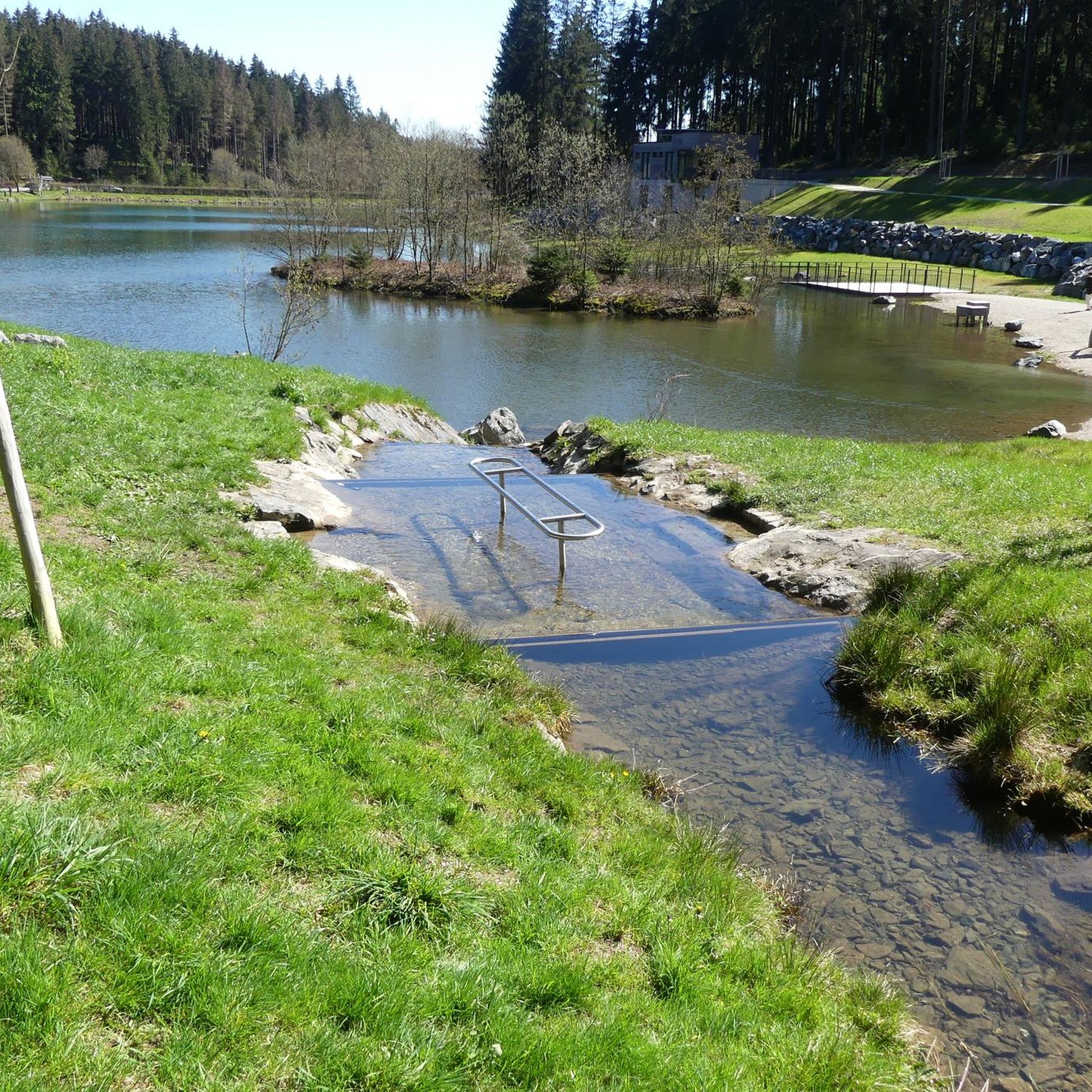
MTB Trails around Steinbach am Wald
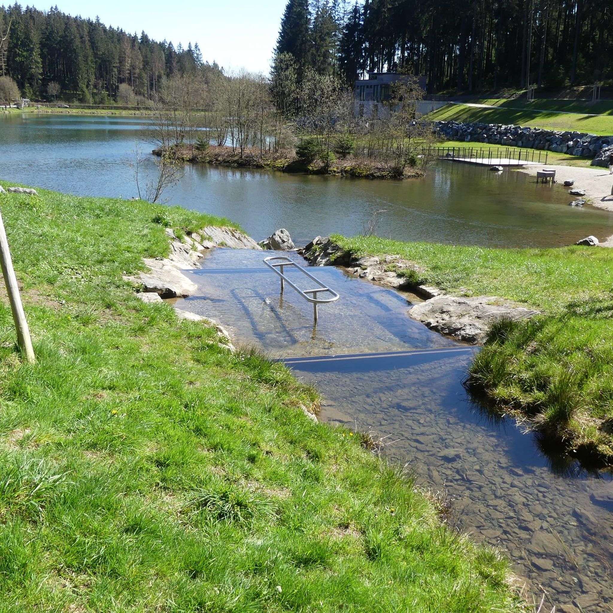
Road Cycling Routes around Steinbach am Wald
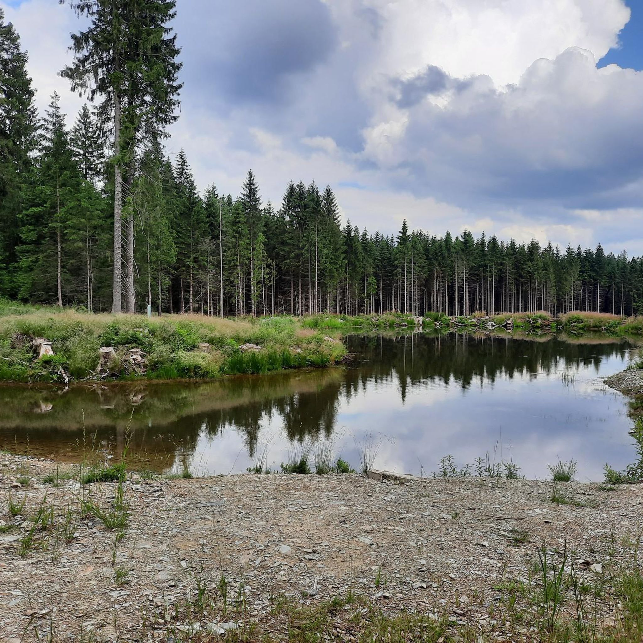
Running Trails around Steinbach am Wald
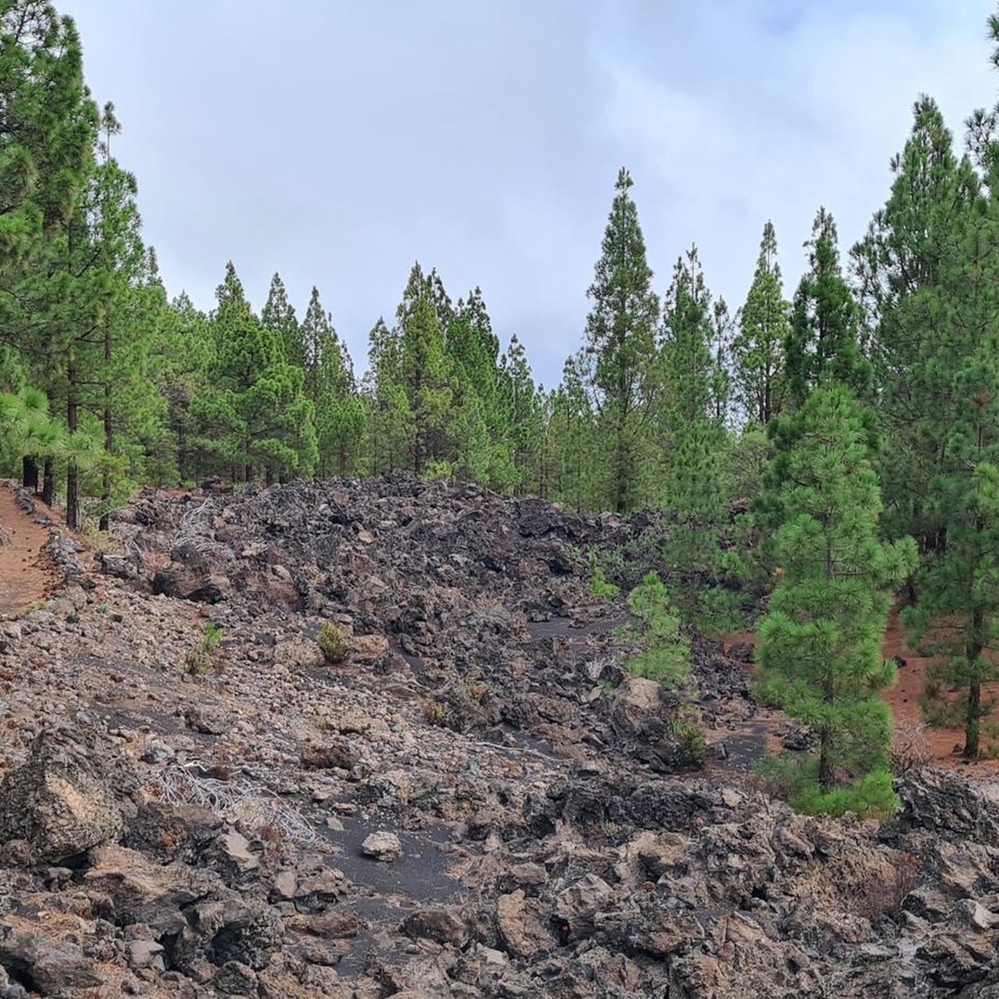
Gravel biking around Steinbach am Wald
Other adventures around Steinbach am Wald


Tips from the Community

Nice place for a break
1
0

The church was built after the Second World War and was solemnly consecrated in 1953.
5
0
The historic Rennsteig partly runs on or along asphalted roads and cycle paths (like on the Frankenwaldhochstraße). For this reason, as on this passage, there are marked alternatives that lead more quietly through the forest.
2
0

At the Schildwiese rest stop, there is a very special piece of Rennsteig history: a small customs house that is reminiscent of the former division of Germany. It was created by Günther Schmidt from Spechtsbrunn. With a lot of humor, he has designed a place here that recalls the time when the Rennsteig was actually divided by the border. Today, you can hike here without any passport control.
11
0
During the Rennsteig Church Day on June 20, 2009, the memorial at Schildwiese was inaugurated. The metal cross, over four meters high, was designed by the builders from original parts of the old border fence. In front of it, a plaque on a stone block commemorates the people who died in this section of the inner-German border, and all victims of the wall and barbed wire during the German division.
8
0
The "Zollhaus" at the Rennsteig border monument is not a restored historical building. The hut was erected and equipped in autumn 2016 by the Frankenwaldverein Kleintettau. It is intended to commemorate the vibrant customs history of this border region and the era of German division. The monument also includes a historical border stone and two posts with the coats of arms of the Free State of Bavaria and the district of Kronach on one side, and the Free State of Thuringia and the district of Saalfeld-Rudolstadt on the other.
14
0
According to tradition, during the Thirty Years' War, three Protestant siblings fled the ravages of war. Their destination was the nearby Protestant Lauenstein. But right at this spot, shortly before reaching safety, the three brothers were caught up by enemy troops and mercilessly slaughtered. The Steinkreuz was erected in memory of the fallen and as a memorial against the horrors of the religious war.
8
0
The "Red Tower" is not a brick tower, but a red-painted tree stump at a historic crossroads of the Rennsteig. It is the destination of the approximately seven-kilometer circular hiking trail Roter-Turm-Weg R 31.
12
0
Frequently Asked Questions
How many hiking trails are available around Steinbach am Wald?
There are over 140 hiking routes available in the Steinbach am Wald region, offering a wide variety of experiences. These include 80 easy routes, 57 moderate routes, and 8 more challenging trails, ensuring options for all fitness levels.
What is the general terrain like for hiking in Steinbach am Wald?
The terrain around Steinbach am Wald is characterized by the picturesque Franconian Forest, featuring extensive woodlands and rolling hills. A significant part of the region is traversed by the Rennsteig, a well-known ridge hiking trail, which offers varied landscapes and panoramic views.
Are there any family-friendly hiking trails in Steinbach am Wald?
Yes, Steinbach am Wald offers many trails suitable for families. For example, the Village Barn Windheim – Ölschnitzsee loop from Windheim is an easy 6.3 km path that takes about 2 hours to complete, perfect for a leisurely outing with children.
Are dogs allowed on the hiking trails in Steinbach am Wald?
Most hiking trails in the Franconian Forest, including those around Steinbach am Wald, are dog-friendly. It's generally recommended to keep dogs on a leash, especially in nature reserves or areas with wildlife, and to always clean up after your pet.
What are some notable natural features or landmarks to see while hiking?
Hikers can explore several unique features. The Wetzstein Summit and Former Radar Station offers historical interest and views. The Windheimer Höhe summit provides excellent panoramic vistas. You can also visit the Staatsbruch Slate Park, a former open-cast slate mine now a nature reserve, offering a blend of industrial history and natural beauty.
Are there any circular hiking routes in the area?
Yes, many routes around Steinbach am Wald are circular. An example is the Rest Area at Windheimer Höhe – Windheimer Höhe summit loop from Steinbach am Wald, a moderate 11.6 km trail that offers summit views and starts and ends in the same location.
What is the best time of year to go hiking in Steinbach am Wald?
Steinbach am Wald is suitable for hiking throughout the year. Spring brings blooming flora, summer offers lush green landscapes, and autumn provides vibrant fall colors. Winter hiking is also possible, with the snow-covered Franconian Forest creating a serene atmosphere, though some trails might require appropriate gear.
Are there any challenging hikes for experienced trekkers?
Yes, for experienced hikers, there are more challenging options. The Altvaterturm – Göpelschacht Shaft Complex, Lehesten loop from Steinbach am Wald is a difficult 18.8 km trail that takes over 5 hours to complete, leading through areas of industrial heritage and natural beauty.
Where can I find scenic viewpoints along the trails?
The region is known for its scenic viewpoints. The Rennsteig ridge trail itself offers breathtaking panoramic views. The Windheimer Höhe summit is a popular spot for vistas, and the Döbraberg Observation Tower provides a stunning panoramic view over the entire Franconian Forest.
What do other hikers say about the trails in Steinbach am Wald?
The routes in Steinbach am Wald are highly rated by the komoot community, with an average score of 4.6 stars from over 390 reviews. More than 1400 hikers have used komoot to explore the varied terrain, often praising the dense woodlands, rolling hills, and well-maintained sections of the Rennsteig ridge trail.
Are there any hiking routes that pass by water features like lakes or gorges?
Yes, you can find routes that include water features. For instance, the 🍺 Ölschnitz Hut – 🚣 Ölschnitz Lake loop from Windheim is a moderate 9.3 km path that features the Ölschnitz Lake and its surrounding natural scenery. Nearby gorges like the Teufelsgraben (Devil’s Gorge) also offer unique natural experiences.
Is there public transport or parking available for hikers?
While specific public transport details for trailheads vary, Steinbach am Wald is generally accessible. Parking is typically available at common starting points for hiking trails. For more detailed information on public transport connections within the Franconian Forest, you can consult the regional tourism website: frankenwald-tourismus.de.
Most popular routes around Steinbach am Wald
Most popular attractions around Steinbach am Wald

Get inspired with the komoot mobile app


Explore more
Browse the best Hikes in other regions.
