The best road cycling routes around Steimel
4.7
(141)
1,418
riders
177
rides
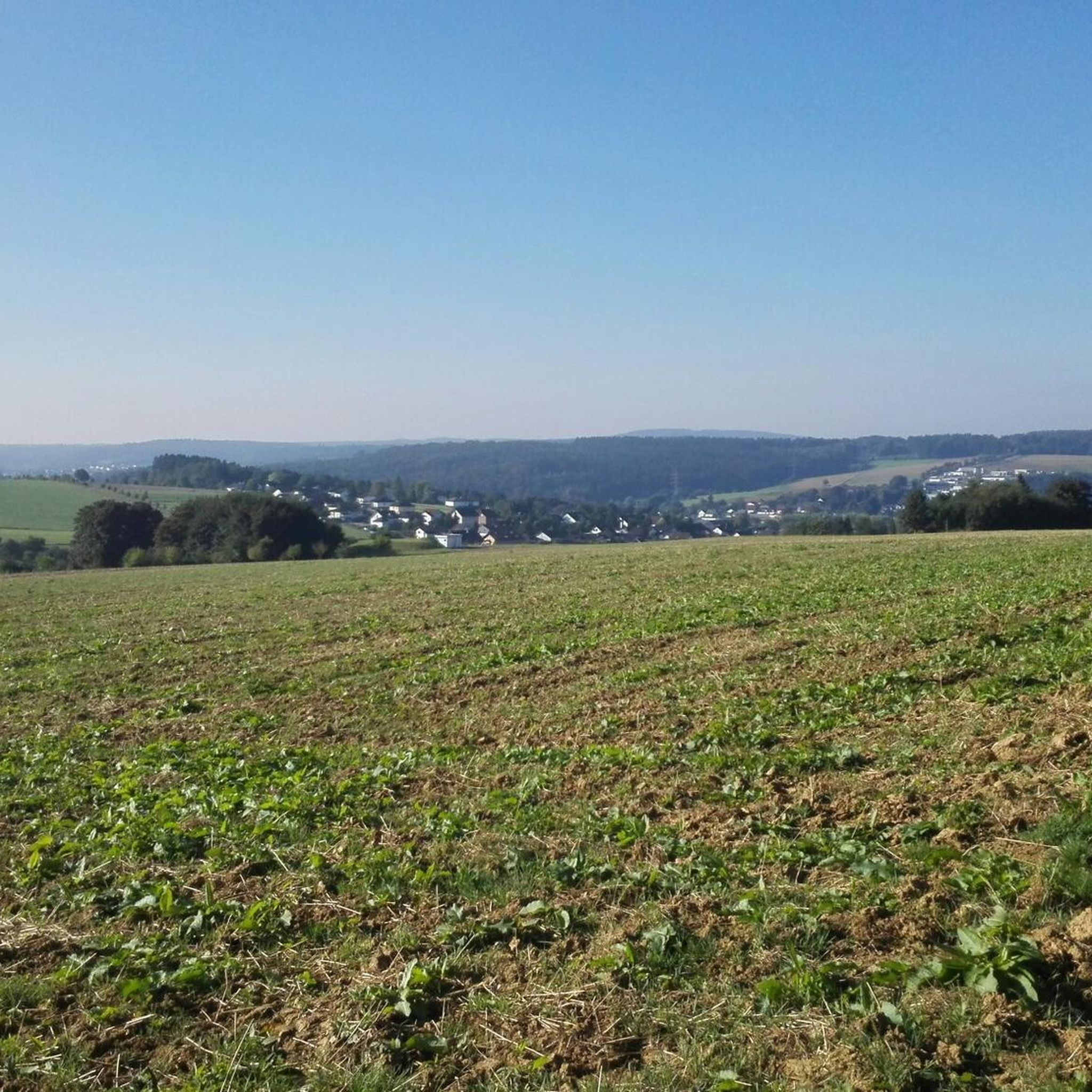
Road cycling around Steimel offers a diverse landscape characterized by rolling hills, river valleys, and historical landmarks. The region features a network of roads that traverse through forested areas and open countryside. Elevation gains are common, providing varied challenges for road cyclists. The terrain includes both moderate climbs and longer, more difficult ascents.
Best road cycling routes around Steimel
- The most popular road cycling route is Wiedbahn Tunnel and Bridge – Lahr Castle loop from Woldert, a 30.5 miles…
Last updated: July 5, 2026
5.0
(1)
44
riders
48.6km
02:05
400m
400m
Moderate road ride. Good fitness required. Mostly well-paved surfaces and easy to ride.
5.0
(4)
30
riders
54.5km
02:24
530m
530m
Moderate road ride. Good fitness required. Mostly well-paved surfaces and easy to ride.

Sign up for free
5.0
(2)
29
riders
76.8km
03:36
910m
910m
Hard road ride. Very good fitness required. Mostly well-paved surfaces and easy to ride.
4.8
(5)
23
riders
Moderate road ride. Good fitness required. Mostly well-paved surfaces and easy to ride.
10
riders
60.5km
02:47
670m
670m
Moderate road ride. Good fitness required. Some segments of this route may be unpaved and difficult to ride.
Get access to more routes and recommendations from other explorers.
Sign up for free
Already have an account?
Our route recommendations are based on thousands of hikes, rides, and runs completed by other people on komoot.
Start today with a free account
Your next adventure awaits.
Login or Signup
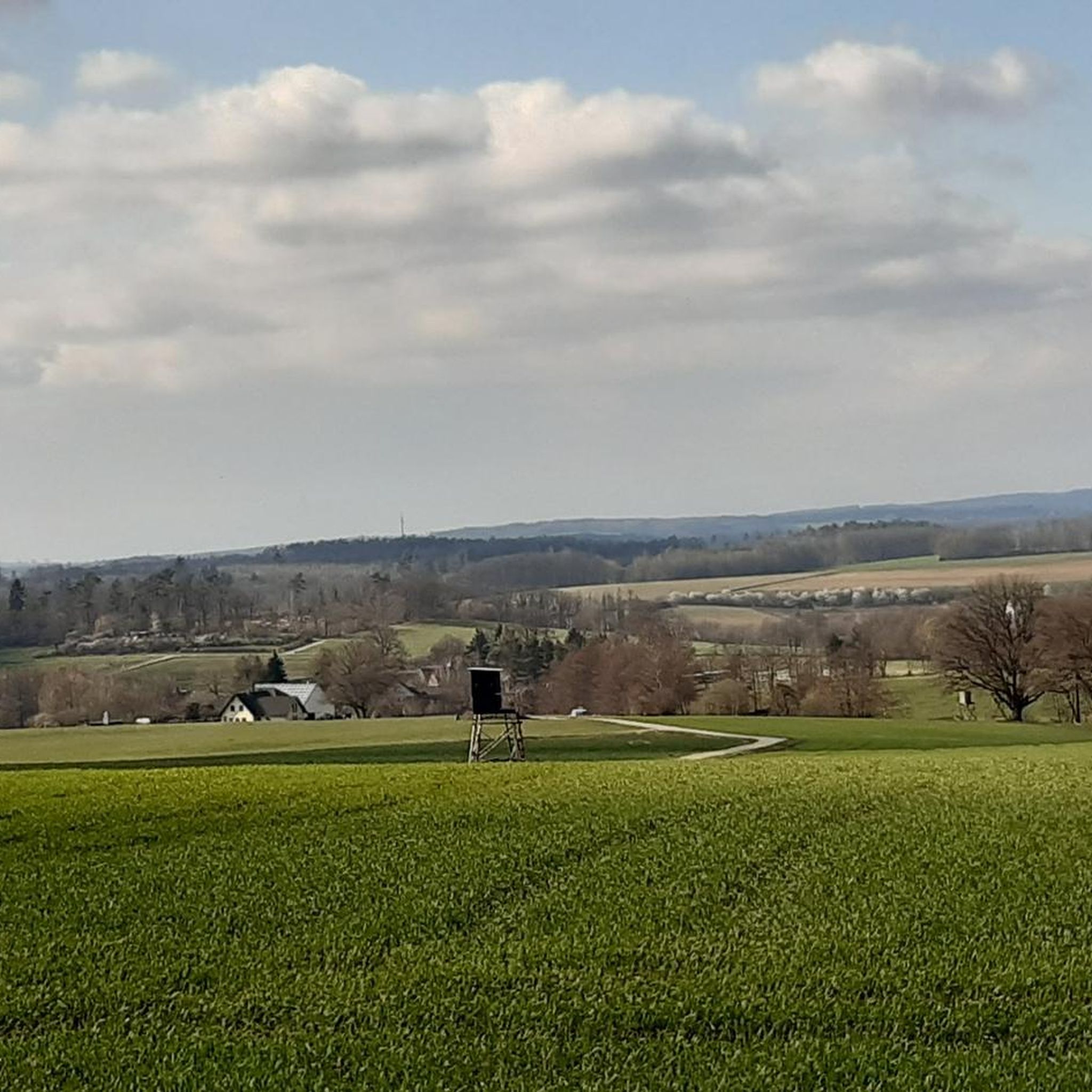
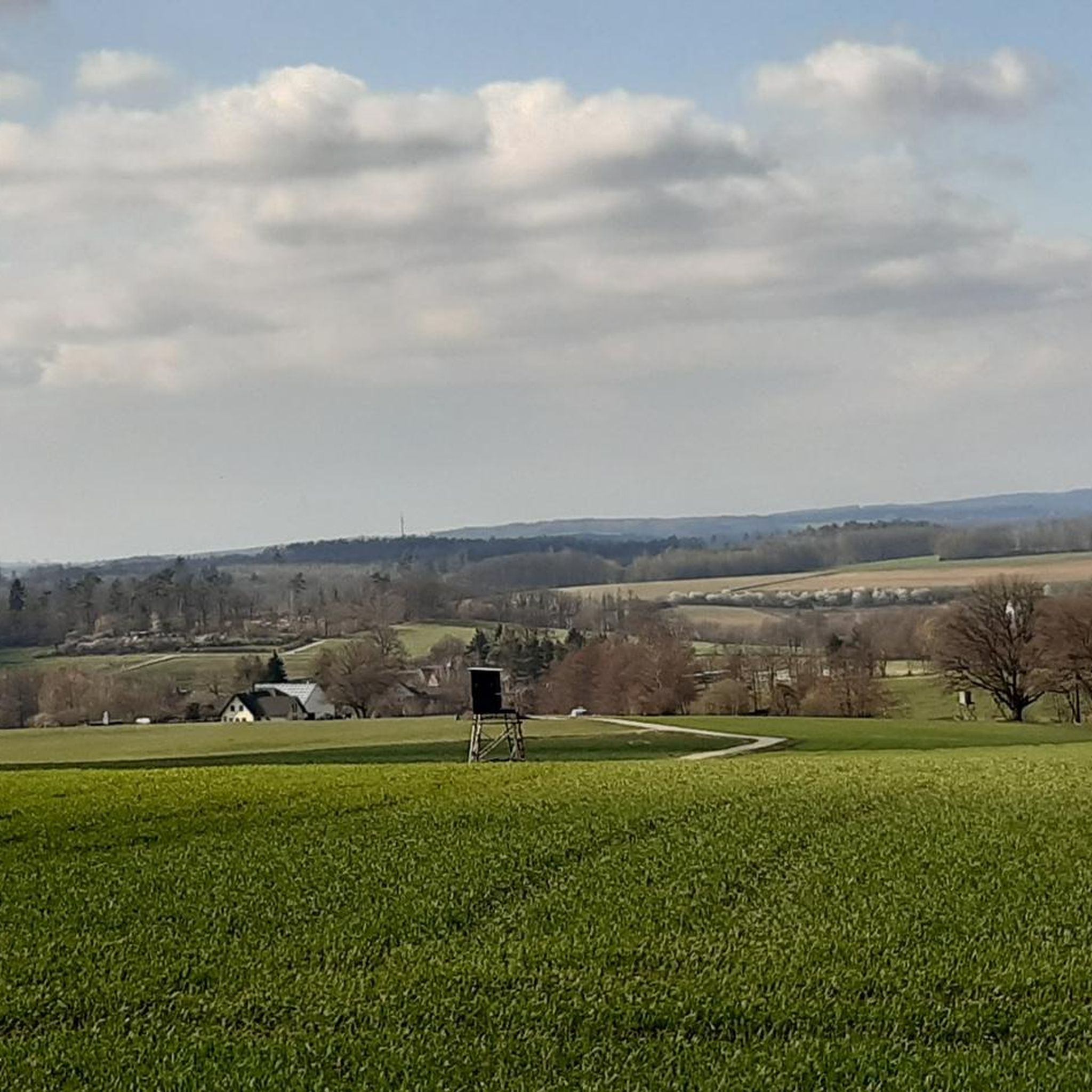
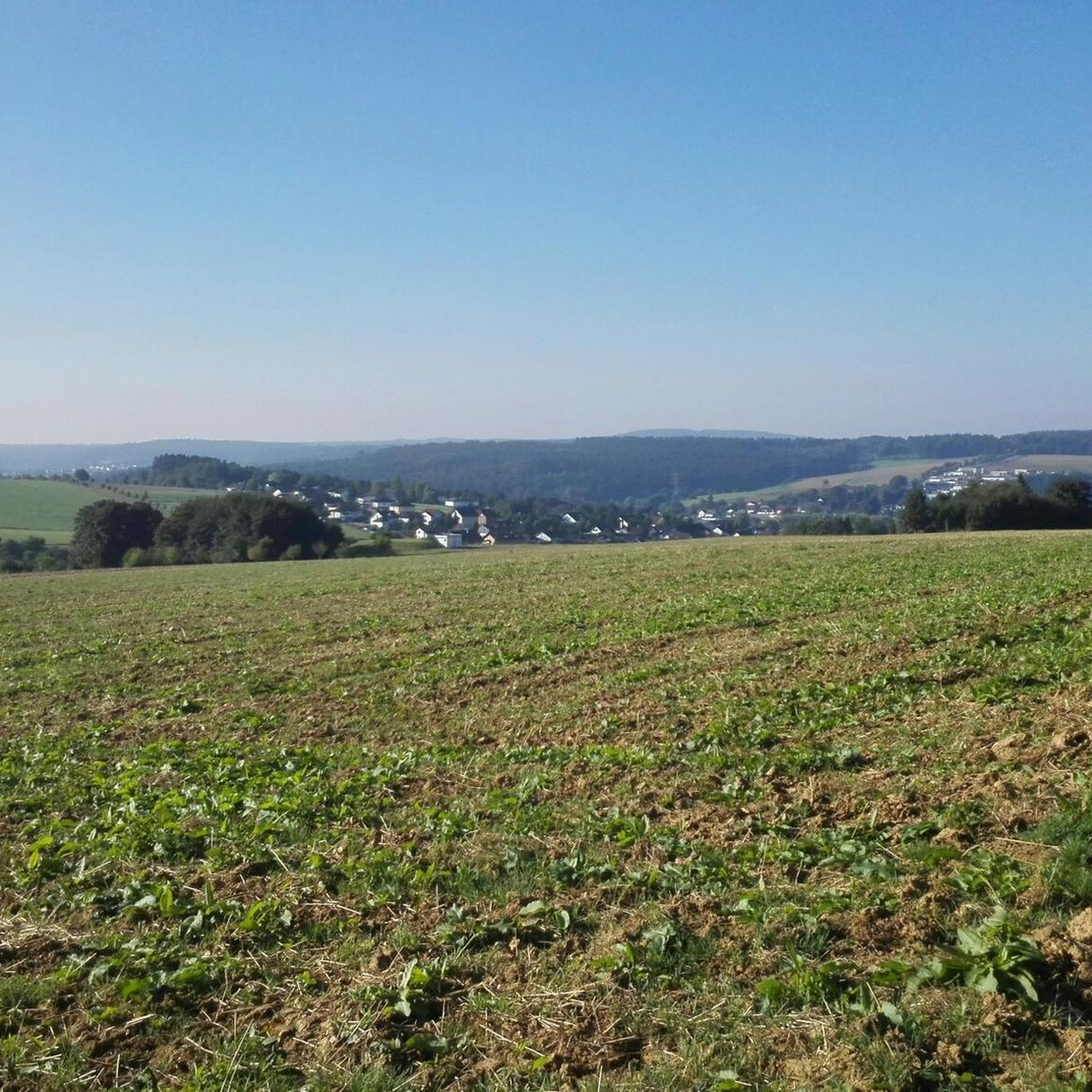
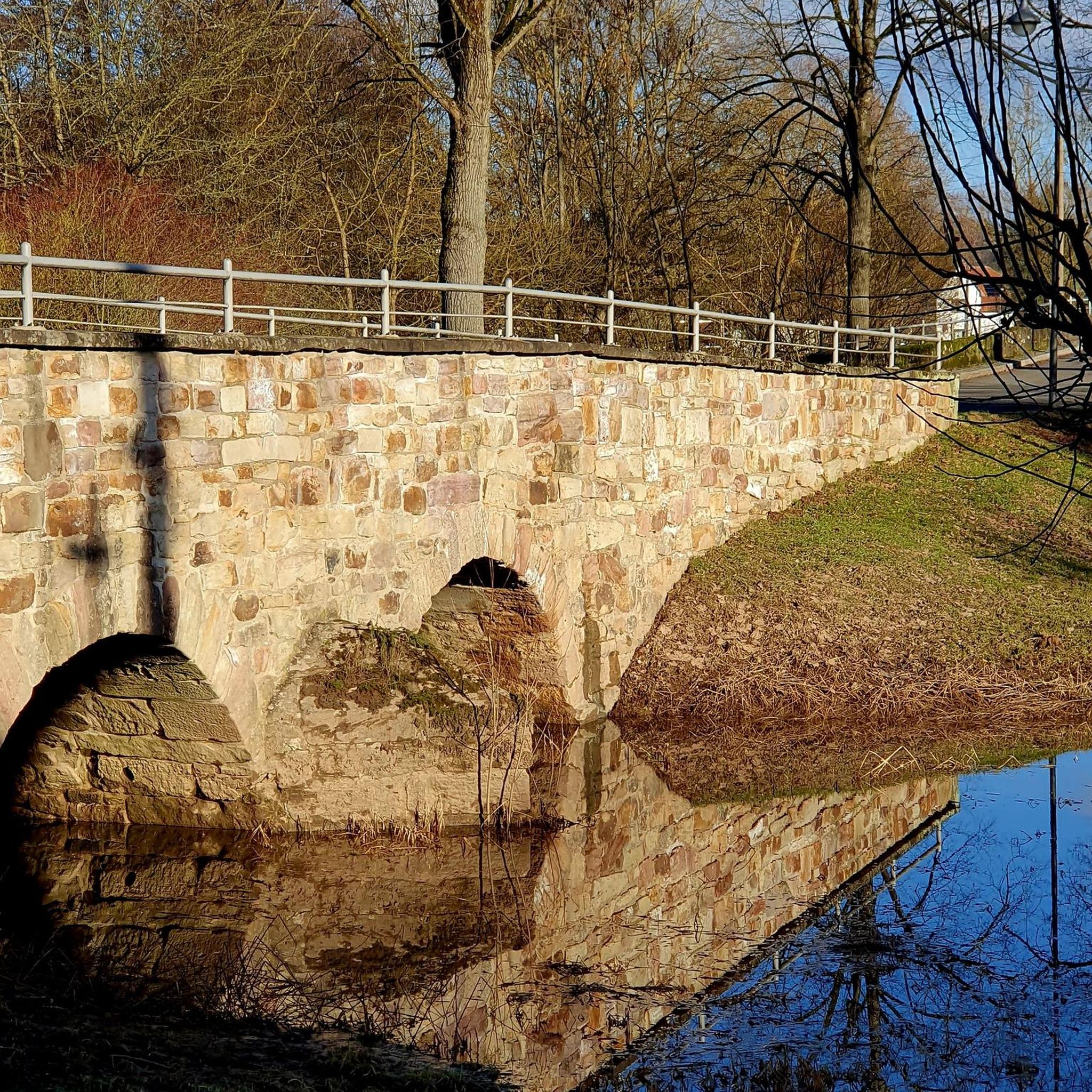
Tips from the Community

Beautiful half-timbered mill! Paved path from visit to Rossbach
0
0

There used to be infrastructure there; it would be nice if it were still there.
0
0

beautiful old church that is not always open
0
0
Tunnels with light switches are not something you see every day
0
0

Mainly motorcyclists on the road
0
0

Unfortunately not a nice road surface
1
0
Is everything allowed?? No matter, there is a lot to explore
3
0

Relics from mining in Willroth. Ores were mined in the pit.
0
0
Frequently Asked Questions
How many road cycling routes are available around Steimel?
There are over 180 road cycling routes around Steimel, catering to various skill levels from easy to difficult. The komoot community has highly rated these routes, with an average score of 4.7 stars.
Are there easy road cycling routes suitable for beginners in Steimel?
Yes, Steimel offers 22 easy road cycling routes. These routes typically feature less elevation gain and are ideal for those new to road cycling or looking for a more relaxed ride. While specific flat routes aren't highlighted, the easy routes generally provide a gentler experience.
What kind of elevation gain can I expect on road cycling routes in Steimel?
Road cycling around Steimel is characterized by rolling hills and river valleys, meaning elevation gains are common. Routes like the Wiedbahn Tunnel and Bridge – Burg Ehrenstein Ruins loop from Hanroth feature significant elevation gain, making them challenging. Even moderate routes, such as the Wiedbahn Tunnel and Bridge – Lahr Castle loop from Woldert, include over 400 meters of ascent.
Are there any circular road cycling routes in Steimel?
Many of the road cycling routes in Steimel are designed as loops, offering a convenient way to start and end your ride at the same point. Examples include the Dreifelder Weiher – Dreifelder Weiher loop from Woldert and the Raiffeisen House Flammersfeld – Eulenturm (Lower Tower) Dierdorf loop from Stürzelbach.
What historical landmarks or natural attractions can I see along the road cycling routes?
Steimel's routes often pass by historical sites and natural beauty. You might encounter the Wied Valley, the Bildeiche, or the Grenzbachtal Nature Reserve. Historical sites like Raiffeisen House and Eulenturm are also featured on routes such as the Raiffeisen House Flammersfeld – Eulenturm (Lower Tower) Dierdorf loop from Stürzelbach.
Are there challenging road cycling routes for experienced riders?
Yes, Steimel offers 22 difficult road cycling routes for experienced riders seeking a challenge. These routes, like the K11 Road Near Strickhausen – Rosbachtal Cycle Path loop from Puderbach, feature significant distances and considerable elevation gains, often exceeding 1000 meters of ascent.
What is the best time of year for road cycling in Steimel?
The region's rolling hills and forested areas are particularly enjoyable during spring and autumn when temperatures are mild and the scenery is vibrant. Summer also offers good conditions, though some climbs can be more strenuous in warmer weather. Always check local weather forecasts before heading out.
Are there any road cycling routes that pass by cafes or places to stop for refreshments?
While specific cafes are not listed for each route, many routes pass through or near villages and towns where you can find opportunities for refreshments. Planning your route with komoot allows you to discover points of interest, including cafes, along your chosen path.
What do other road cyclists enjoy most about the routes in Steimel?
The road cycling routes in Steimel are highly rated by the komoot community, with an average score of 4.7 stars from over 120 reviews. Cyclists often praise the diverse landscape, which includes rolling hills, river valleys, and historical landmarks, as well as the varied challenges offered by the terrain.
How long do road cycling routes in Steimel typically take to complete?
The duration of routes varies significantly based on distance and difficulty. For example, a moderate route like the Wiedbahn Tunnel and Bridge – Lahr Castle loop from Woldert, which is about 49 km, takes approximately 2 hours and 6 minutes. More difficult and longer routes, such as the 76.8 km Wiedbahn Tunnel and Bridge – Burg Ehrenstein Ruins loop from Hanroth, can take over 3.5 hours.
Is public transport available to access road cycling routes in Steimel?
Access to road cycling routes in Steimel via public transport can vary. While some larger towns in the region may have train or bus connections, direct access to specific trailheads might require local bus services or a short ride from a public transport hub. It's advisable to check local public transport schedules and bike carriage policies for your chosen starting point.
Most popular attractions around Steimel

Get inspired with the komoot mobile app


Explore more
Browse the best Road cycling routes in other regions.
